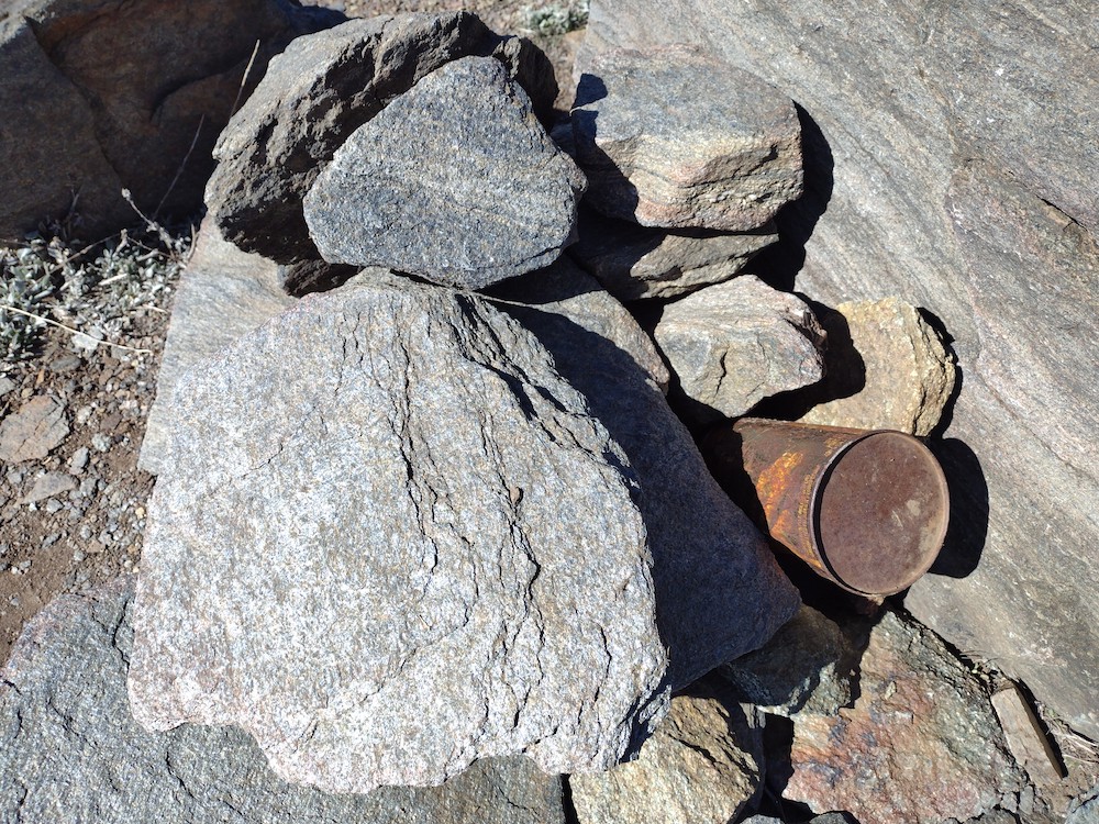
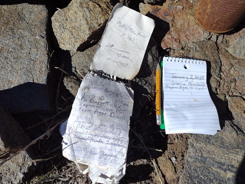
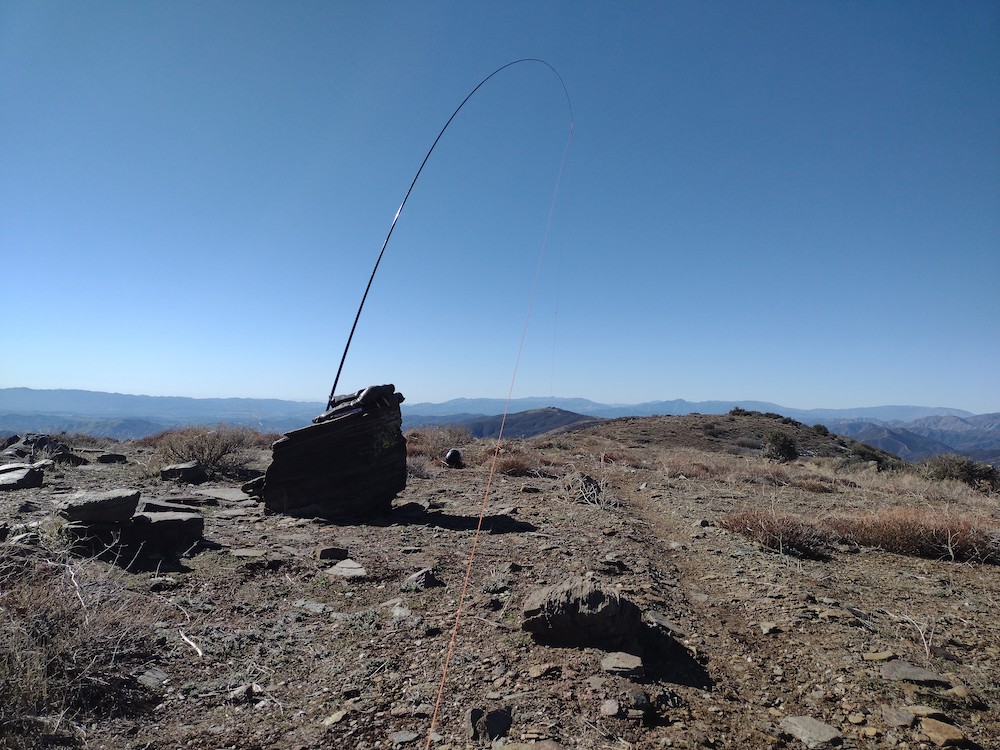
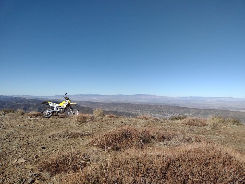
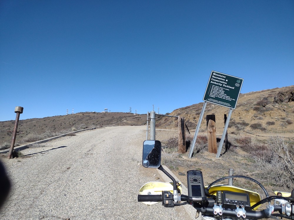
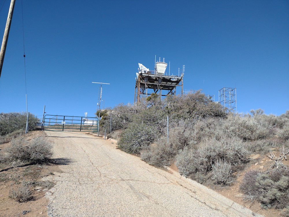
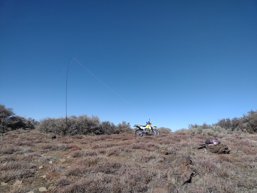
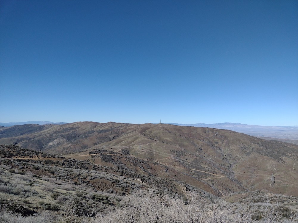
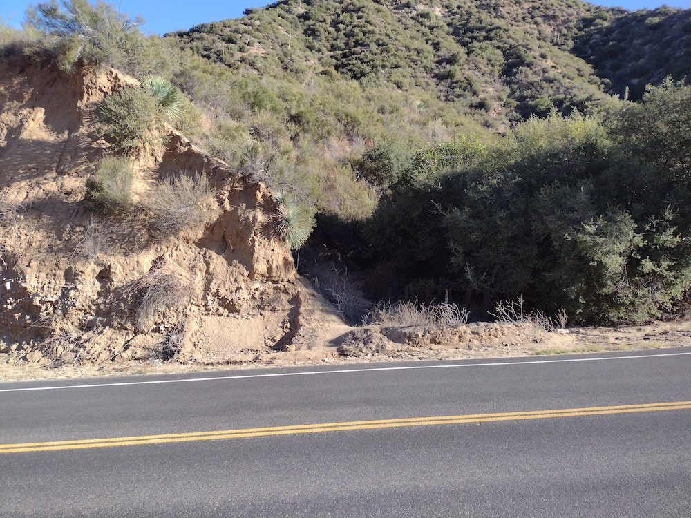
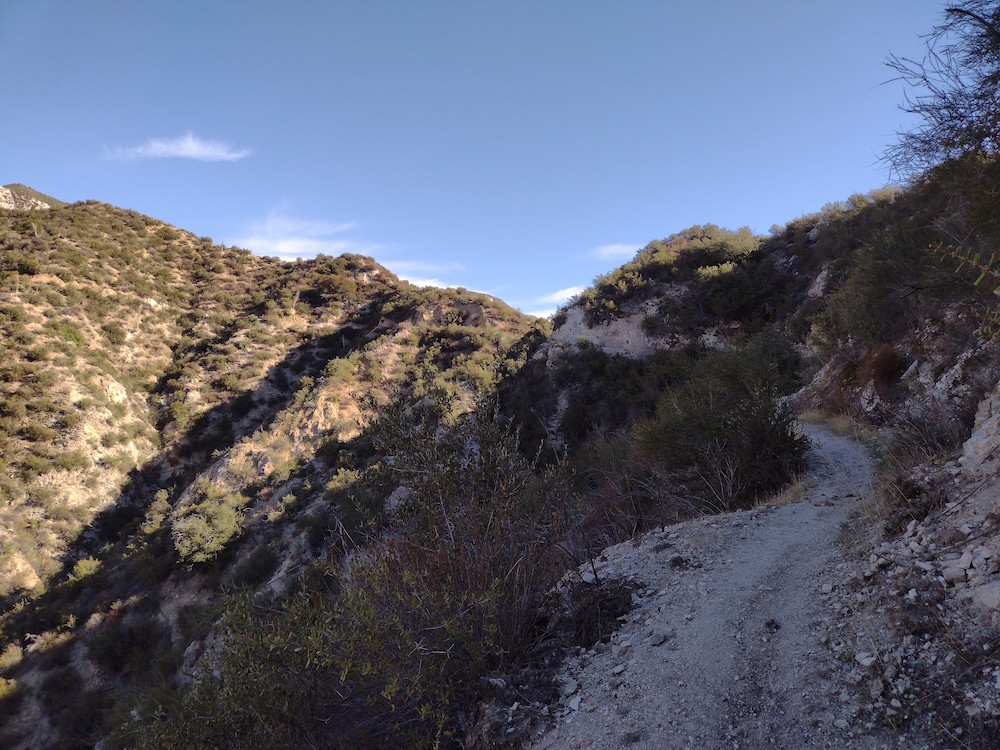
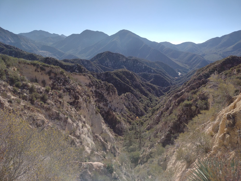
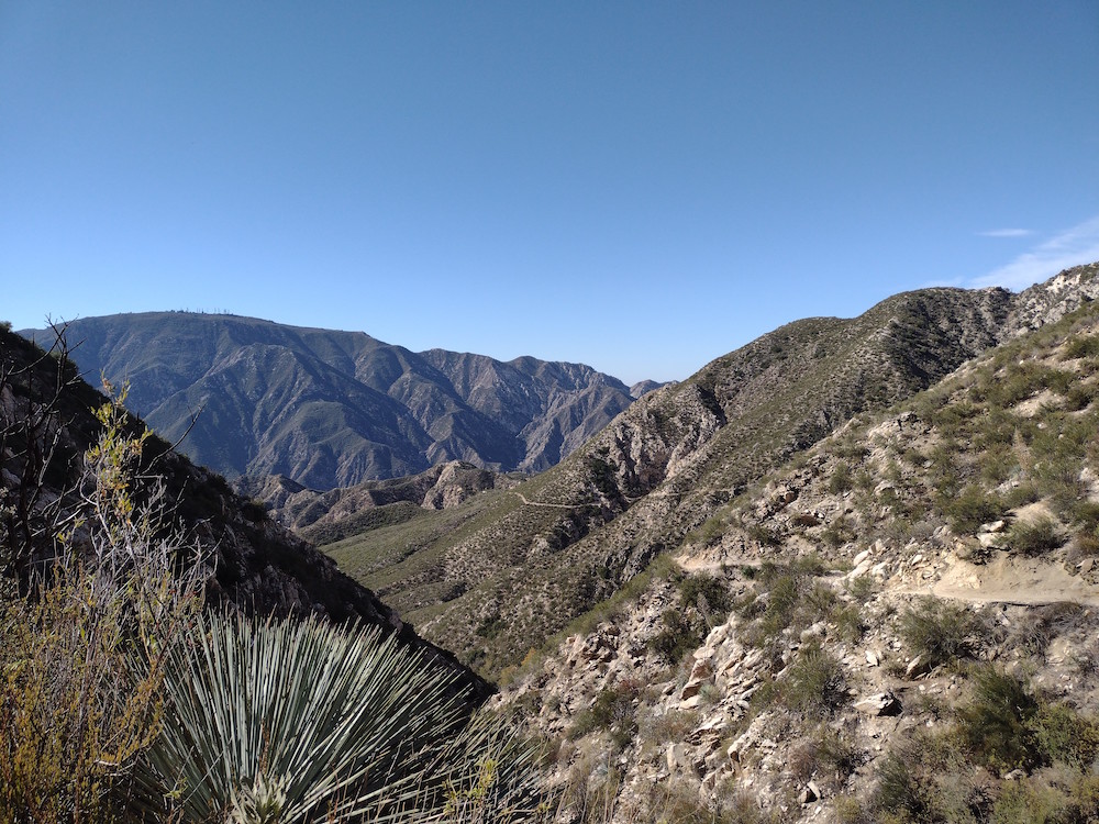
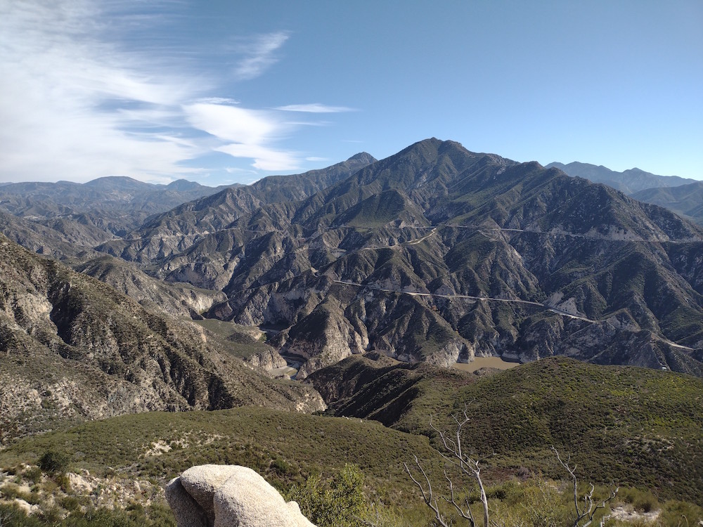
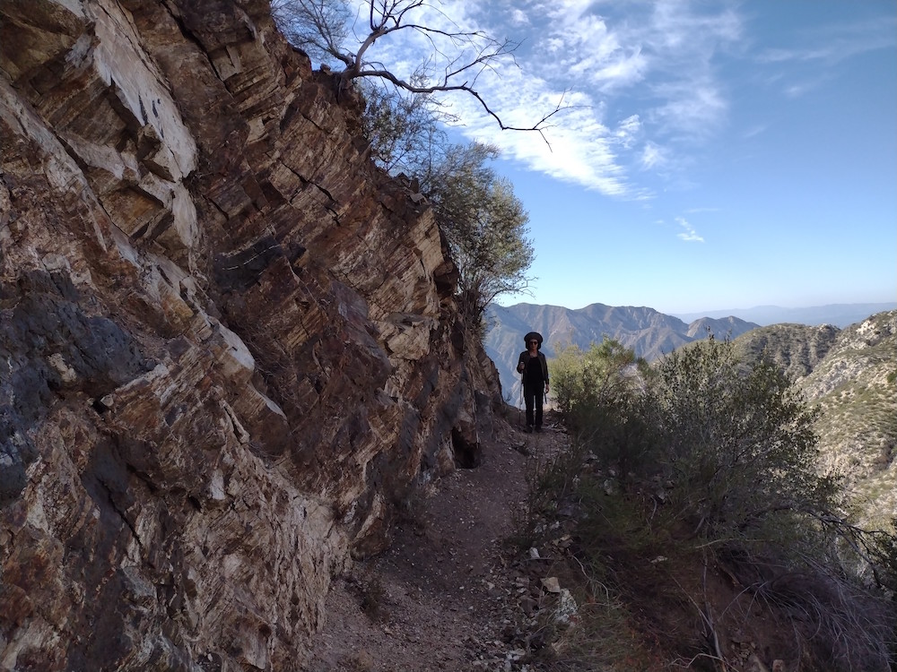
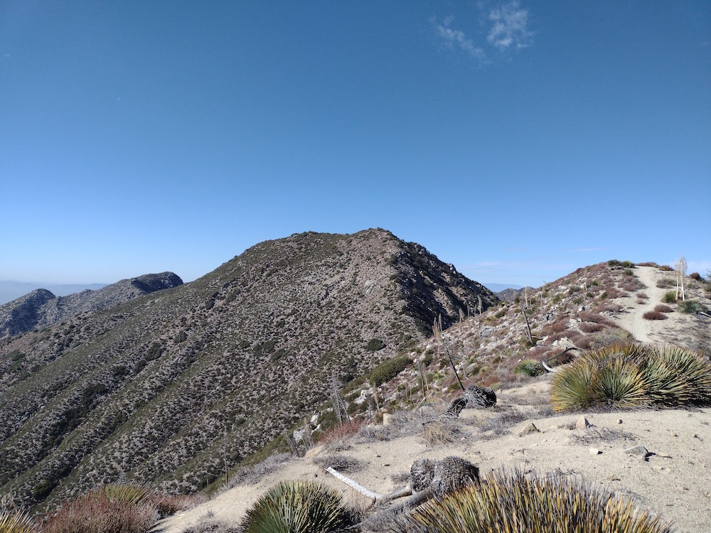
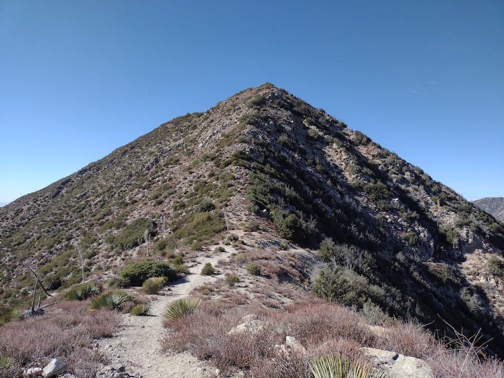
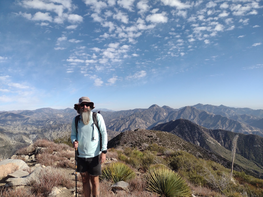
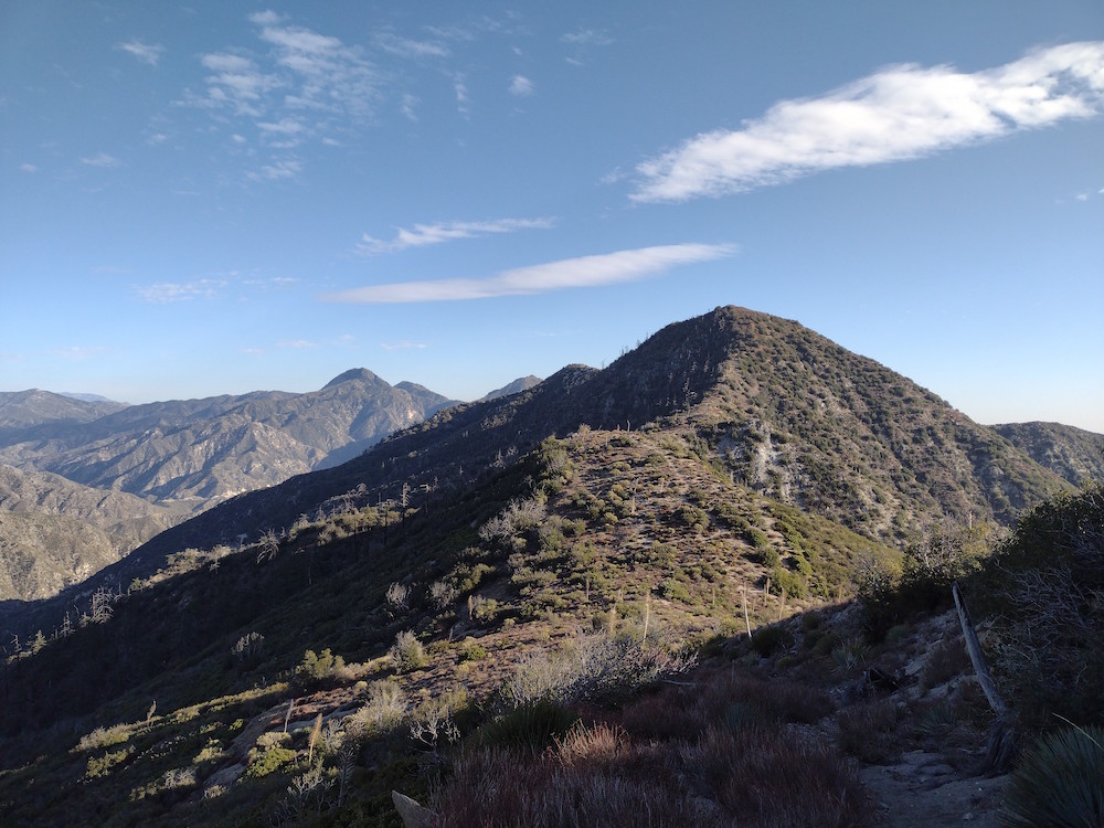
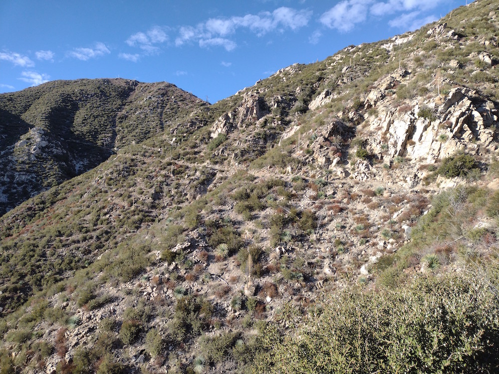
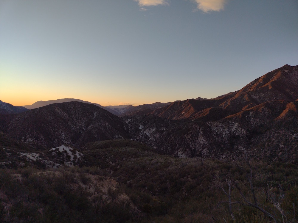
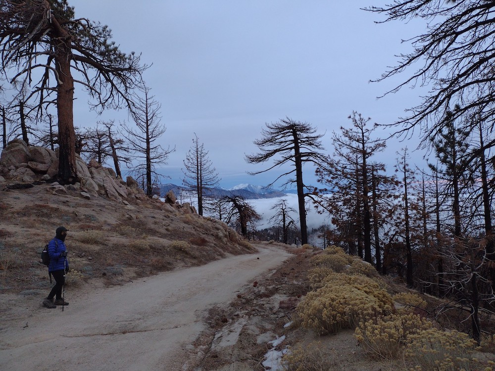
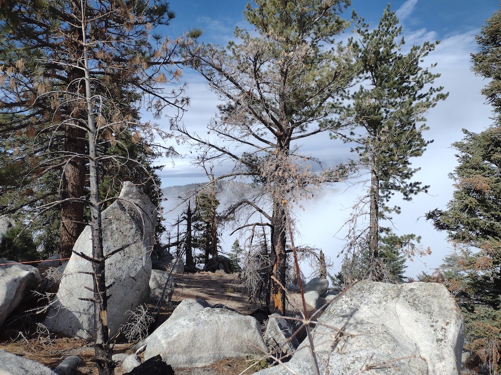
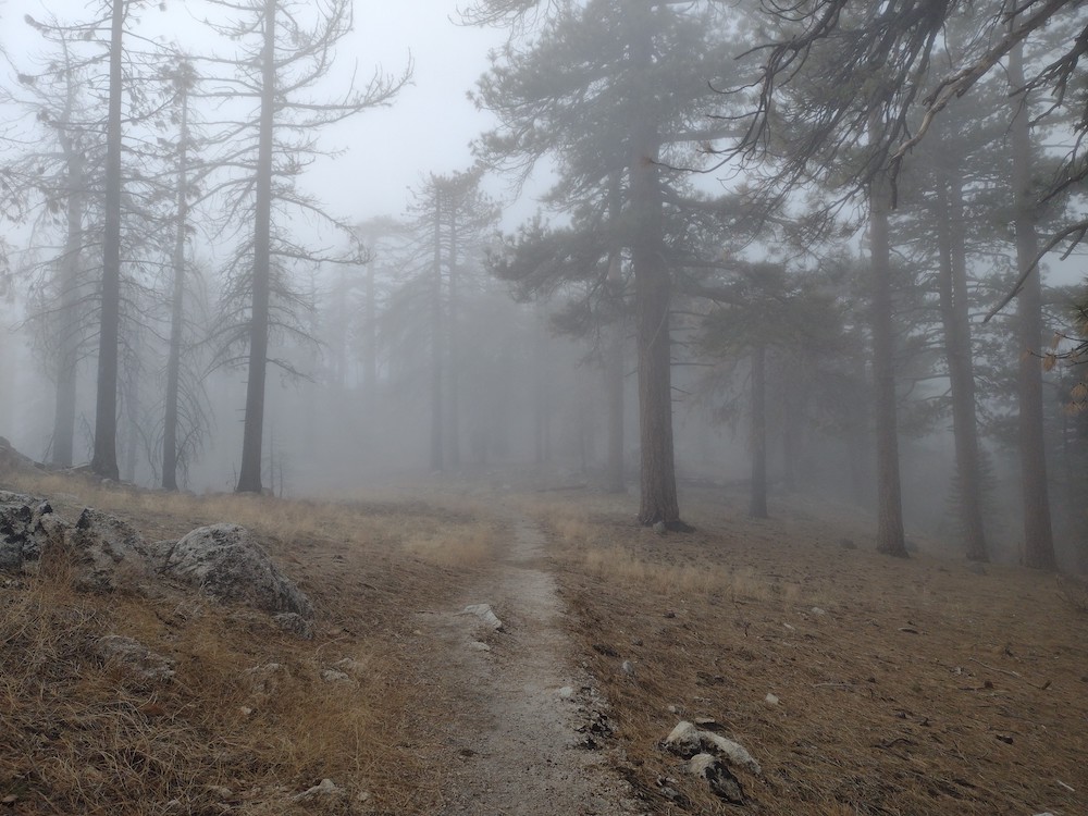
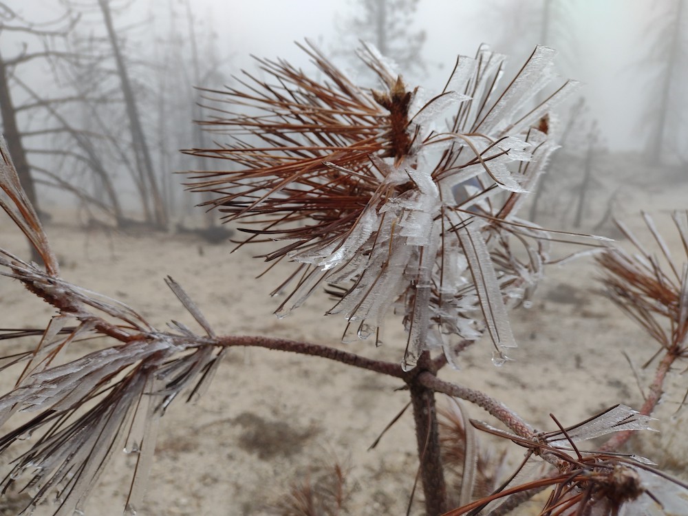
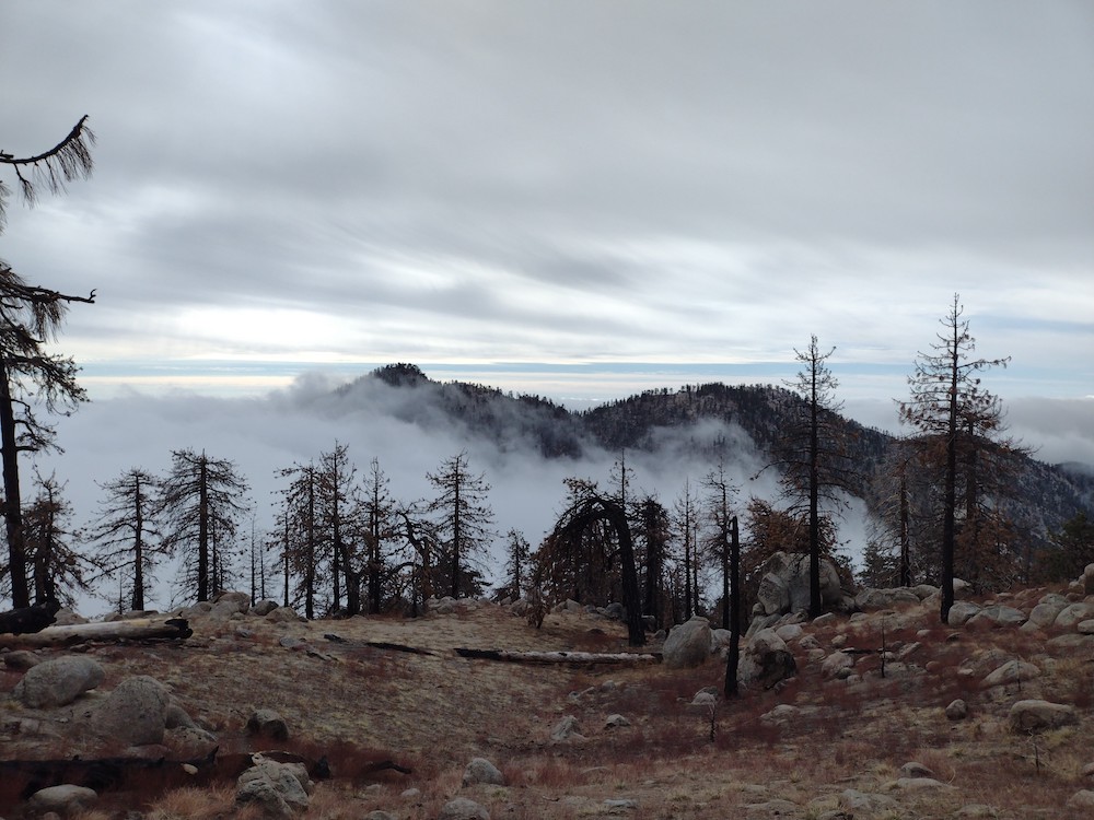
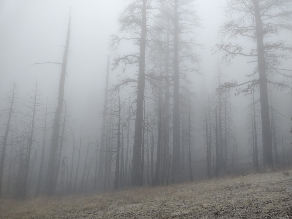
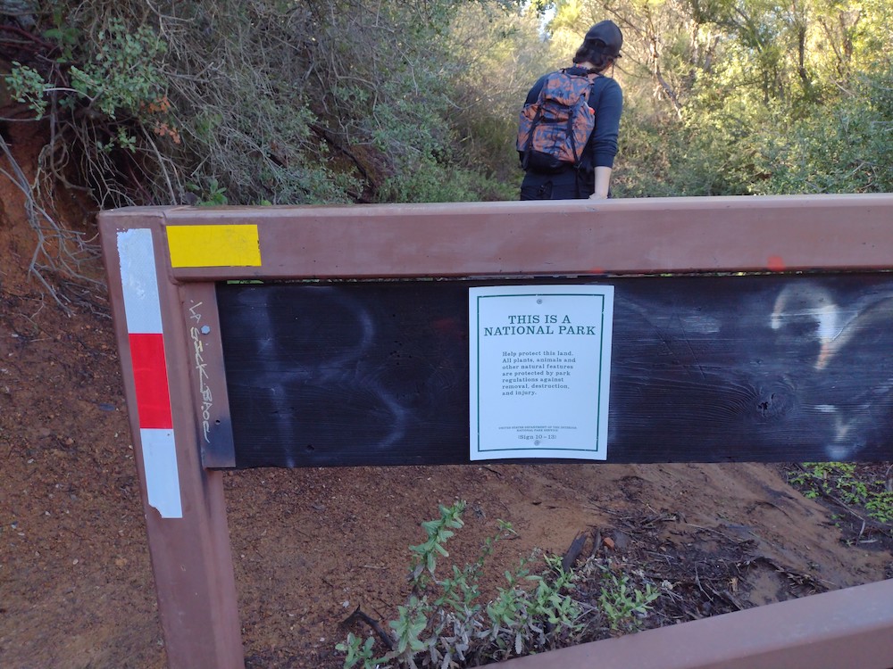
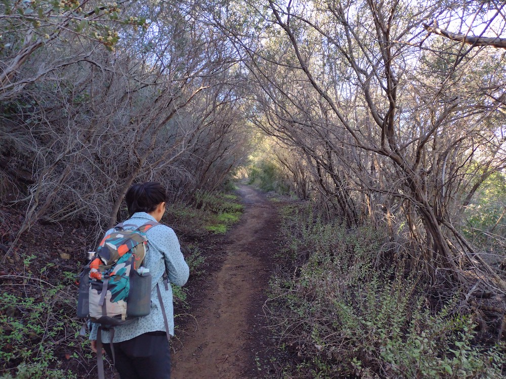
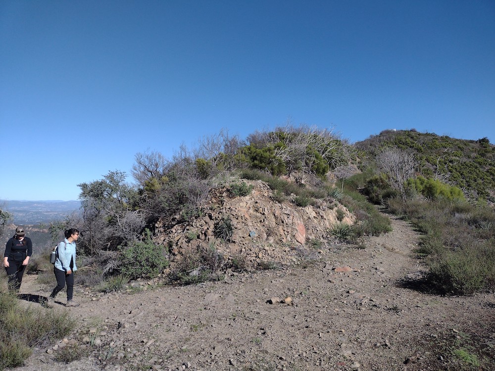
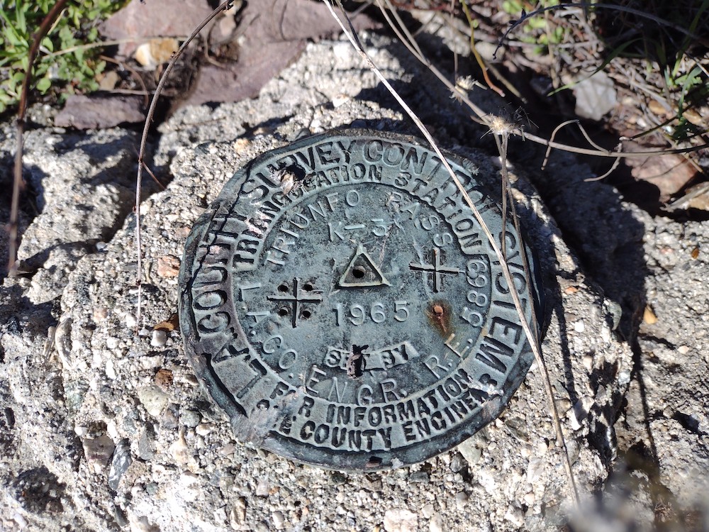
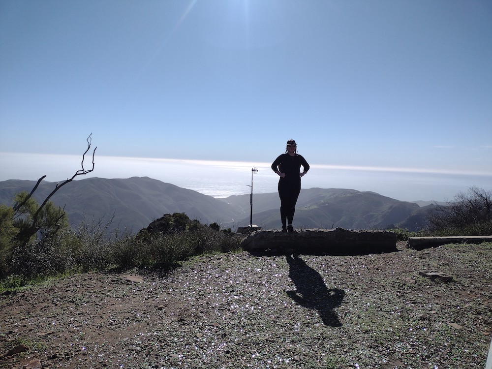
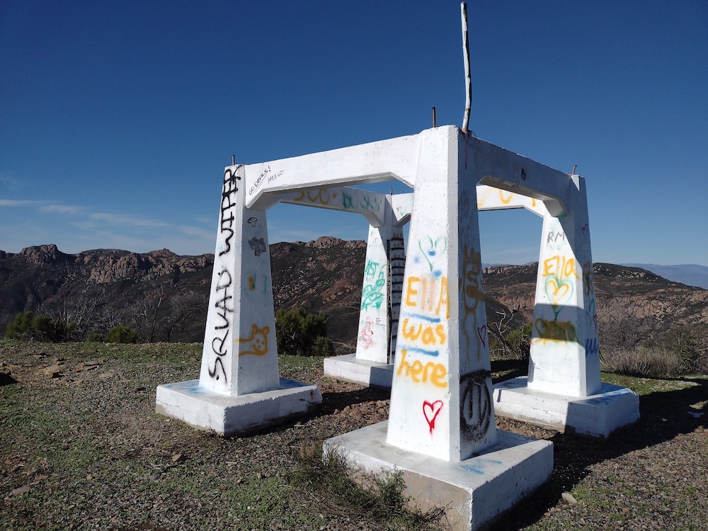
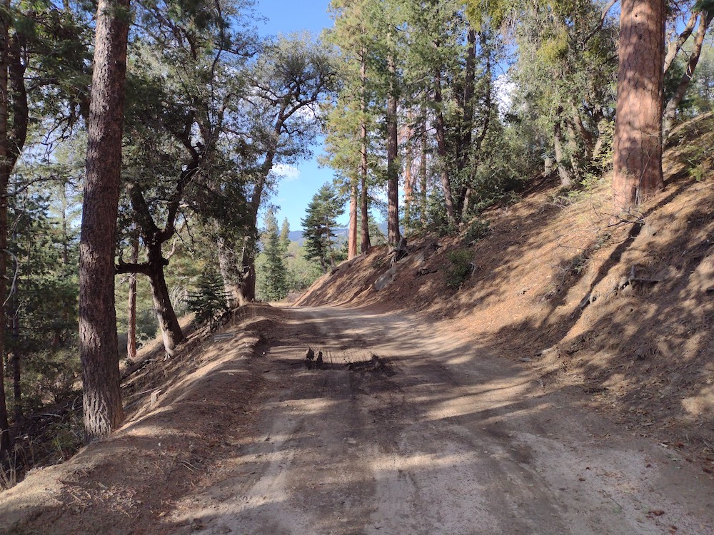
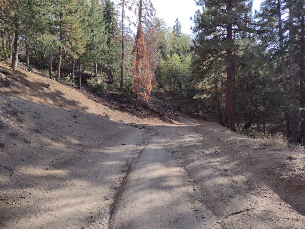
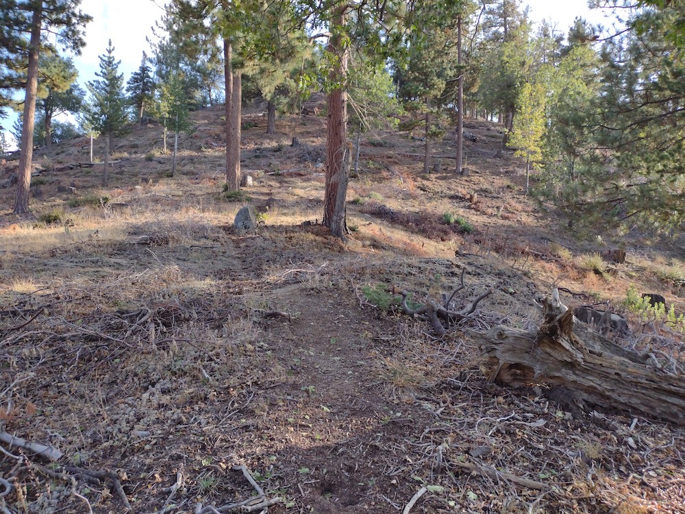
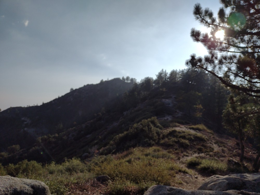
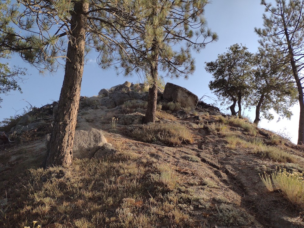
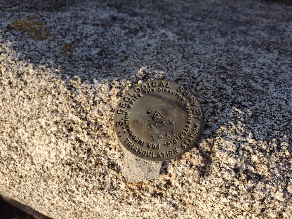
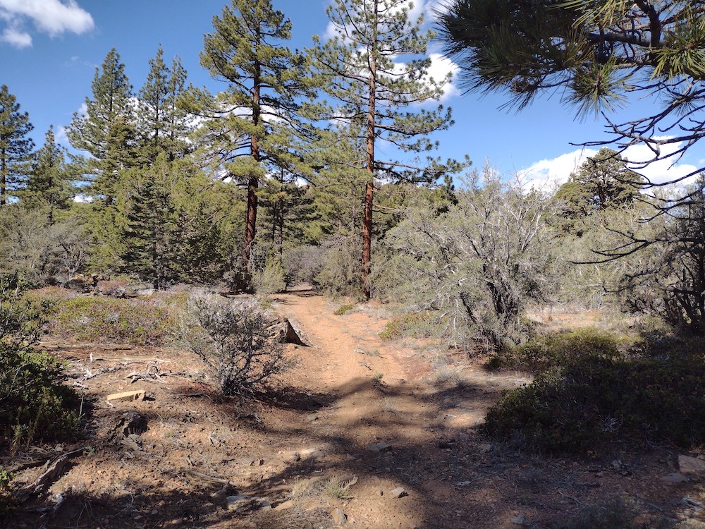
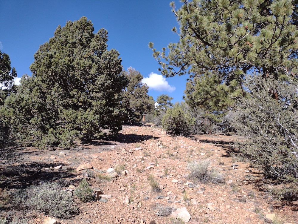
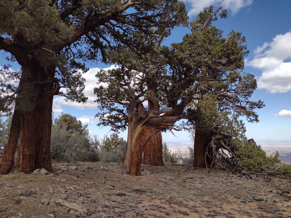
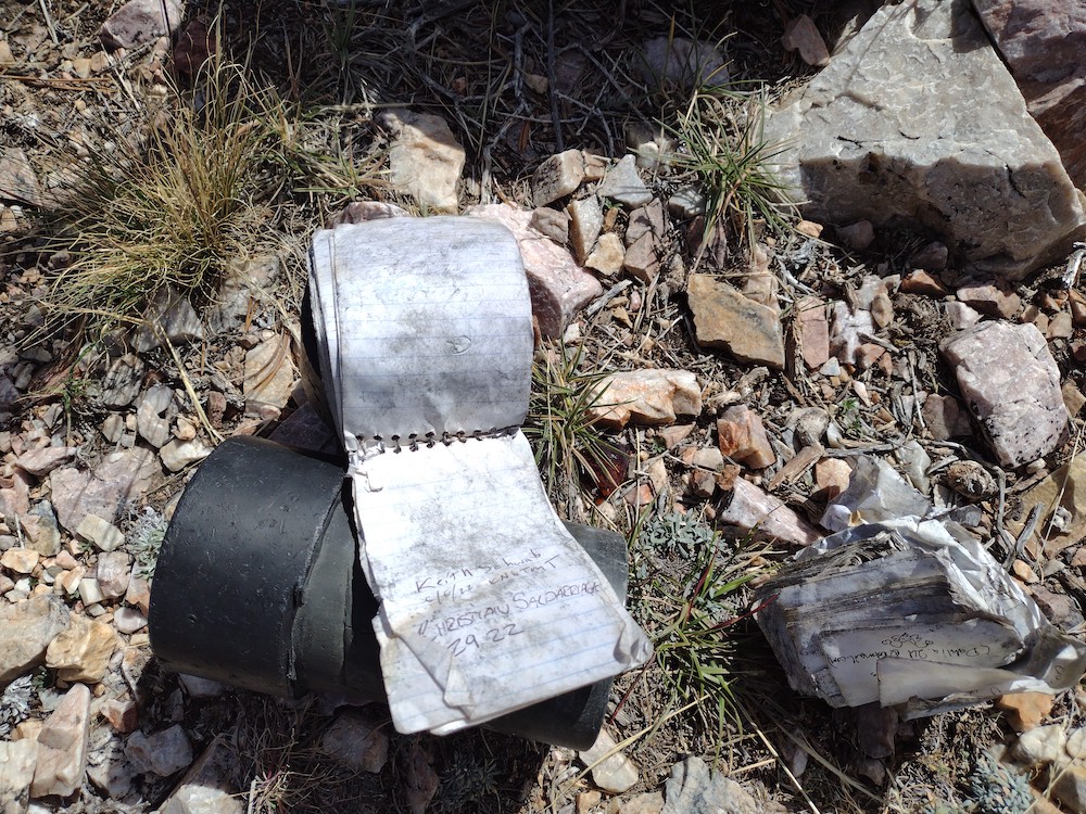
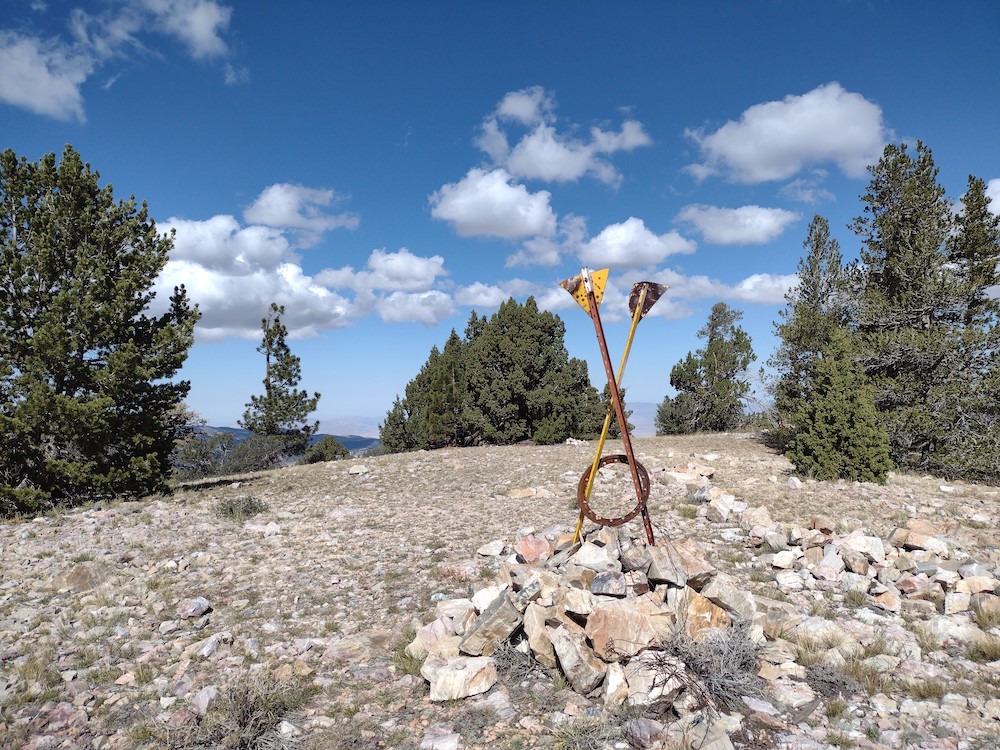
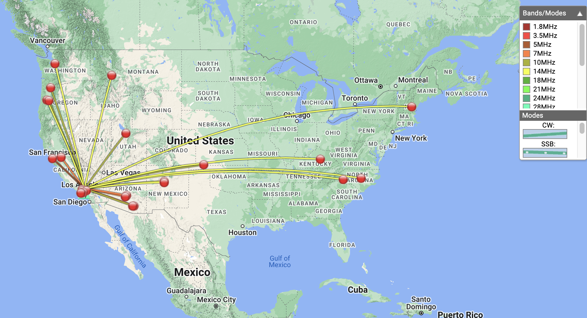
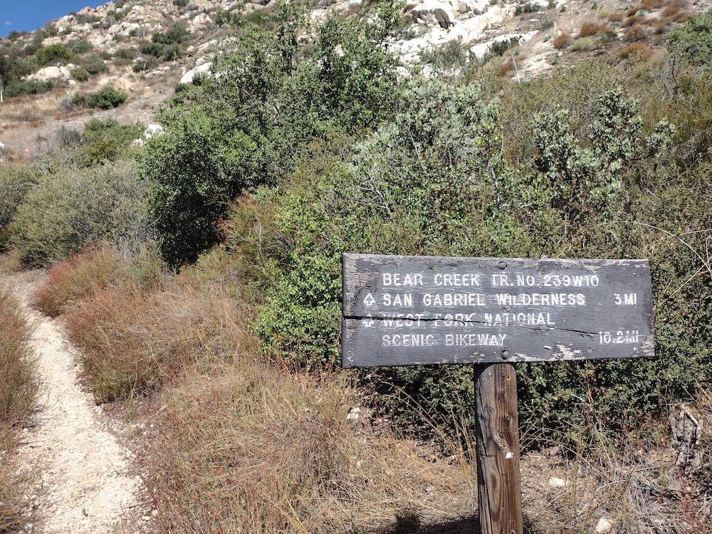
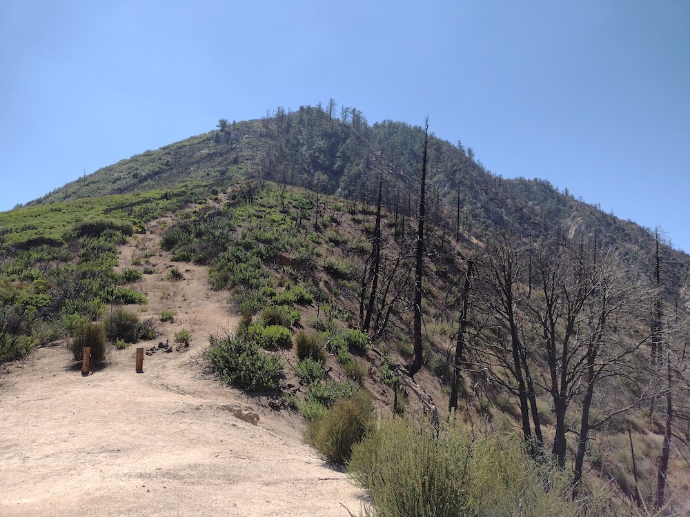
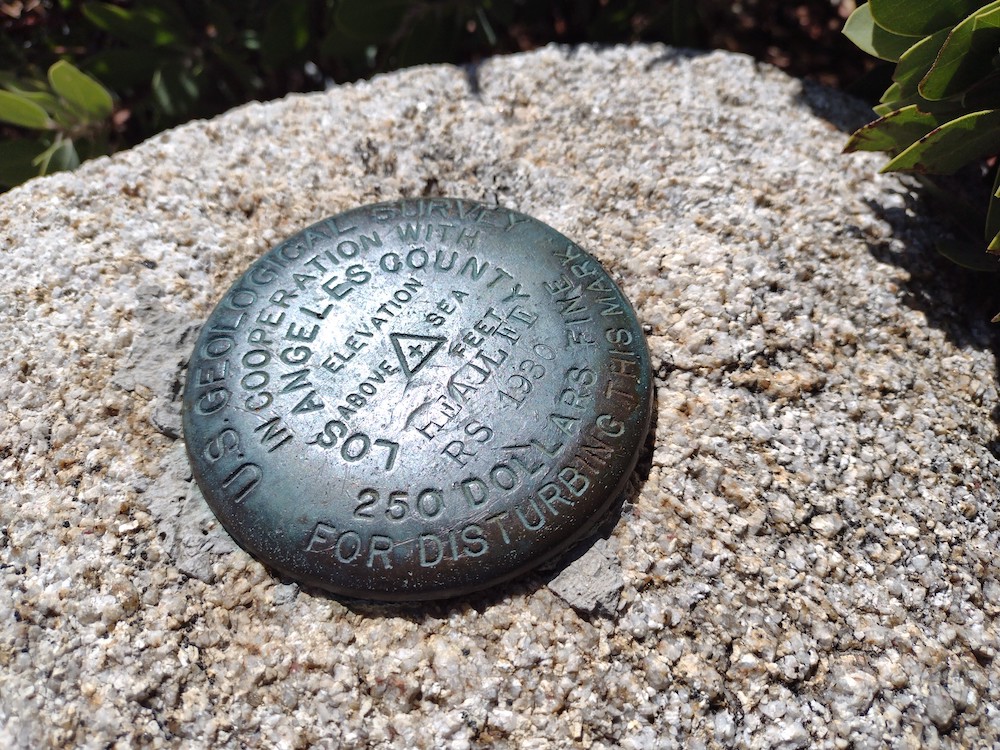
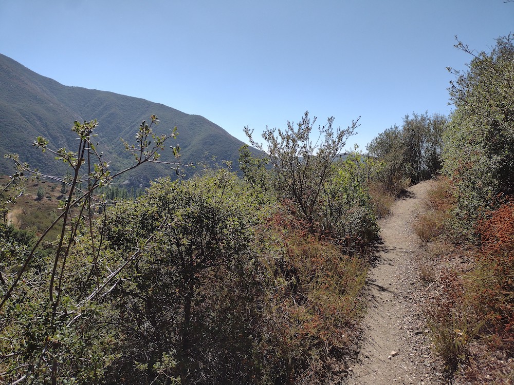
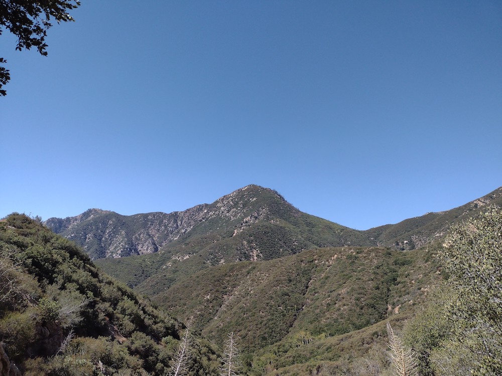
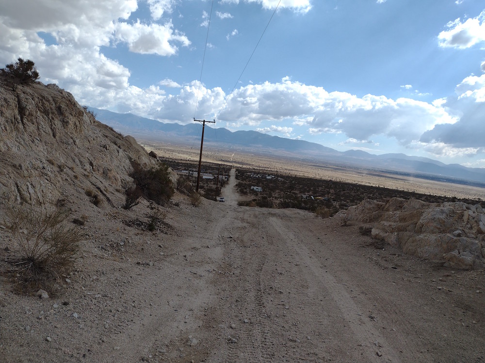
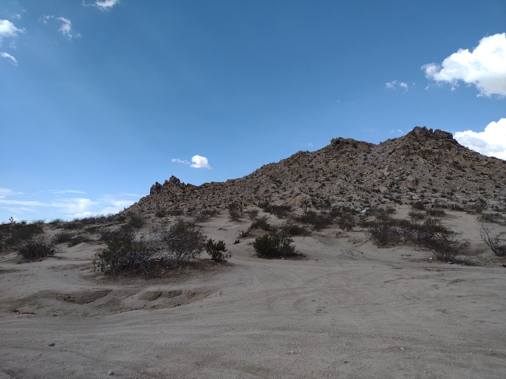
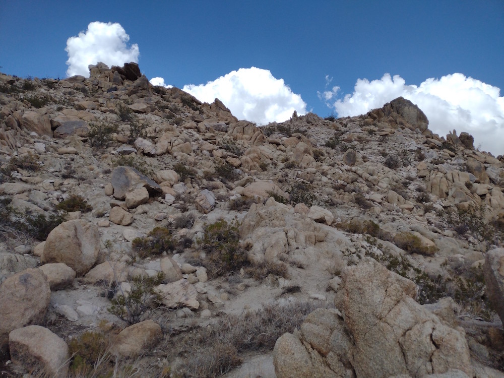
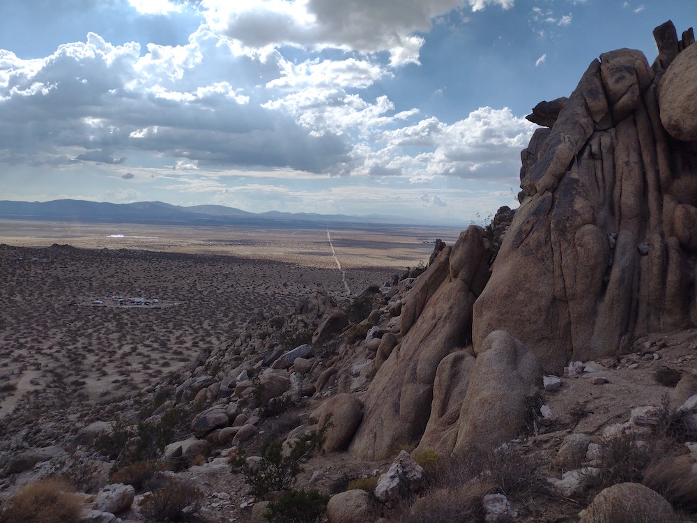
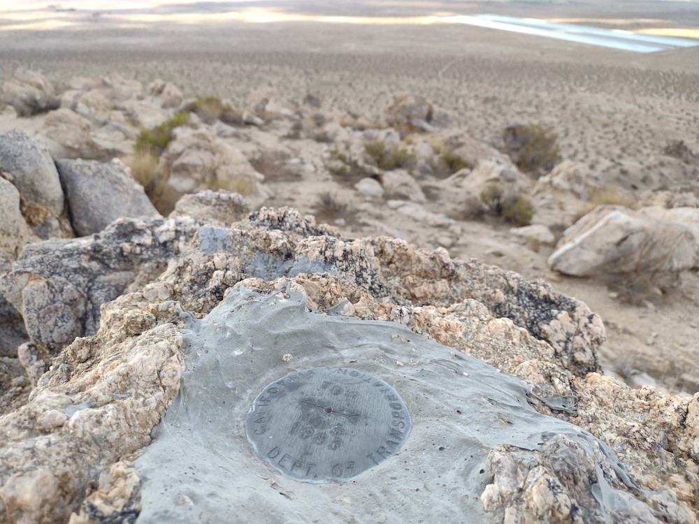
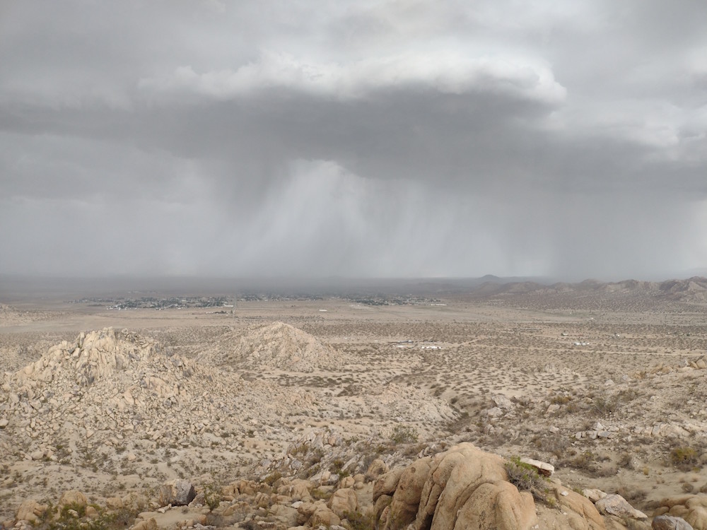
This was my second summit of the day, having just come from Sierra Pelona. You can read about that summit here. I’m kinda glad I didn’t ride a mountain bike over to this summit like I had original planned, as there is some steep elevation to tackle on the way out. That being said, I think there are a few other ways up here that might be a bit easier on a bike than the was I took the moto. The top was easy to find, I looked around for a benchmark, but couldn’t find one. I did find a register going back to 2008 which I didn’t expect to see. I used the pile of rocks to support my antenna mast. I worked 40M, 30M ,and 20M with 4 S2S. Thanks! While I didn’t really notice at the time, where I was setup was almost directly on a moto trail. A group of bikers stopped for a minute to take in the great views, and luckily my antenna didn’t get snagged on anything. Wanting to explore the area bit more, I packed up and headed out after working all the chasers.
https://sotl.as/summits/W6/CT-118
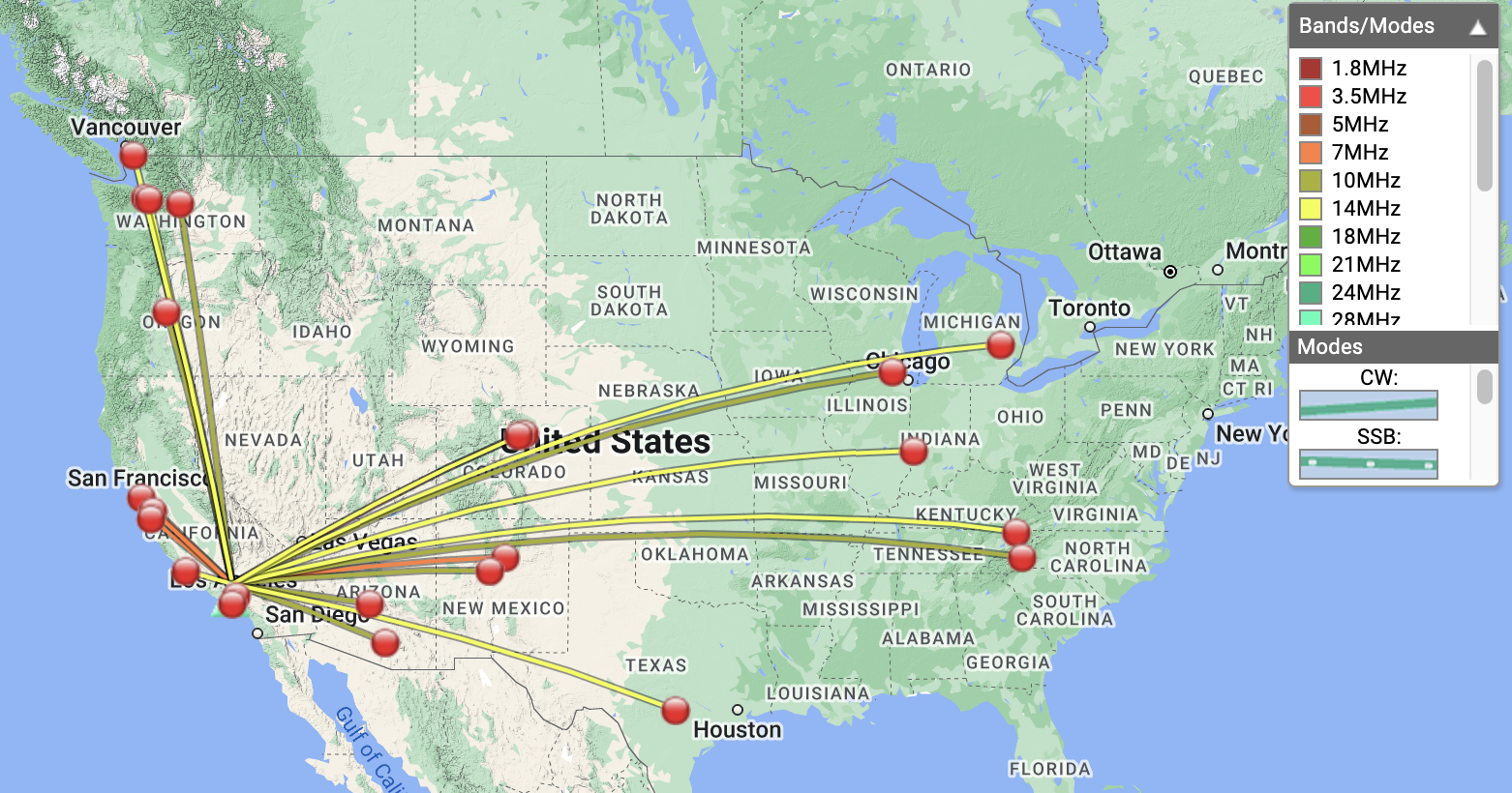
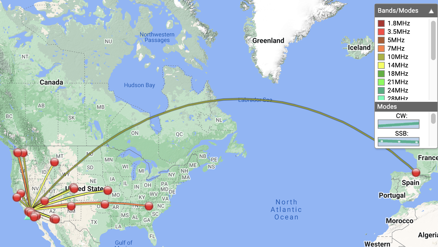
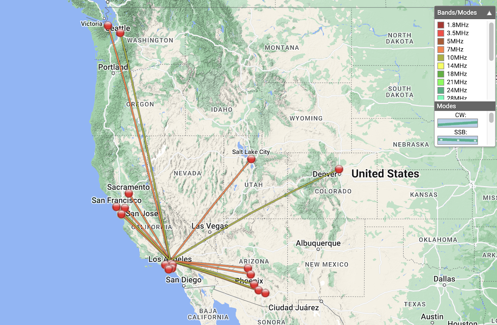
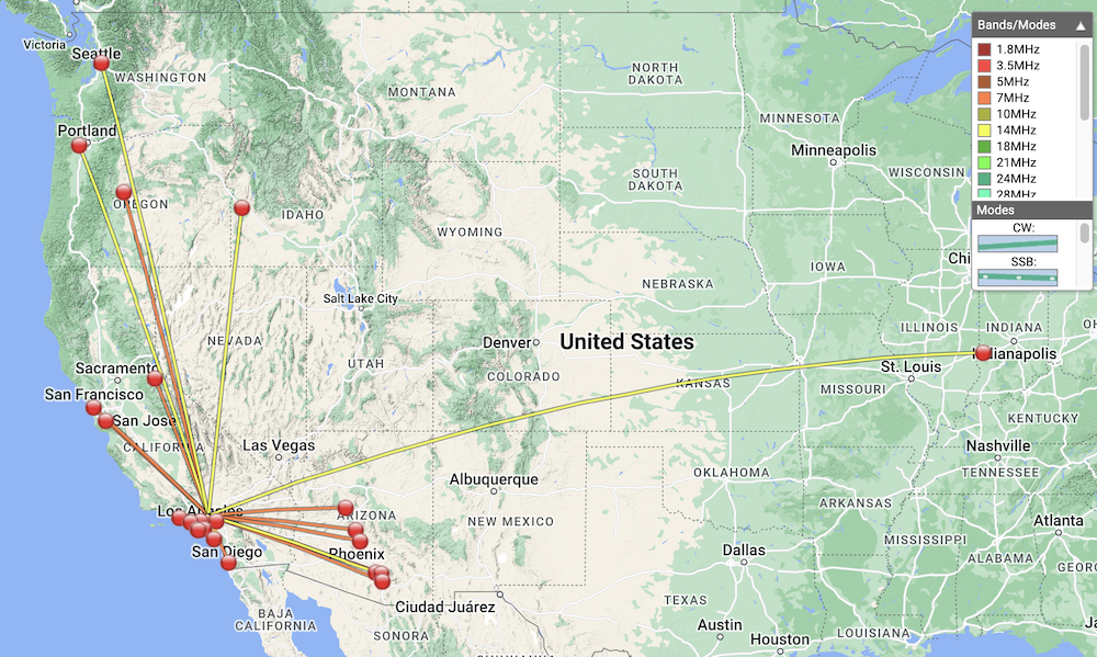
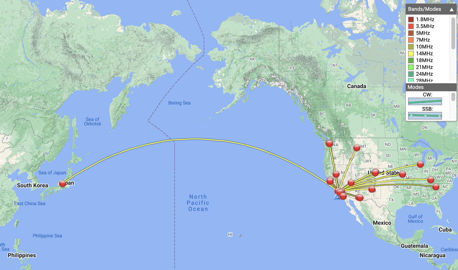
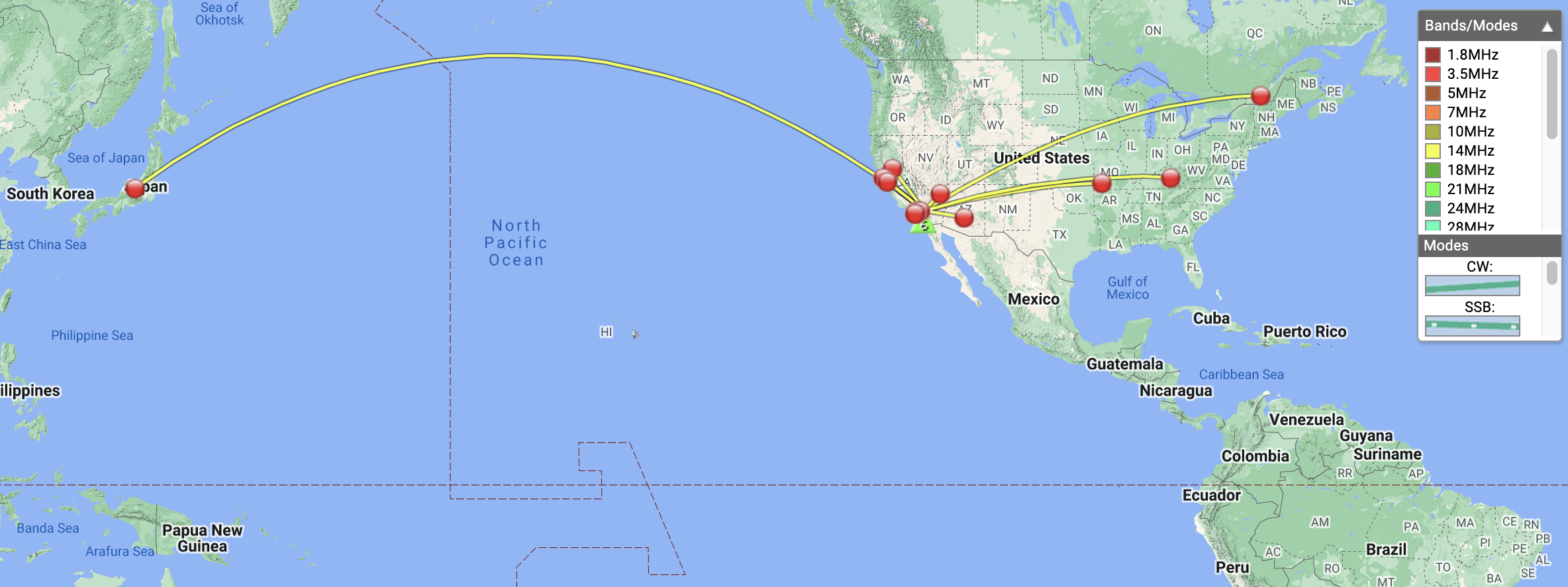
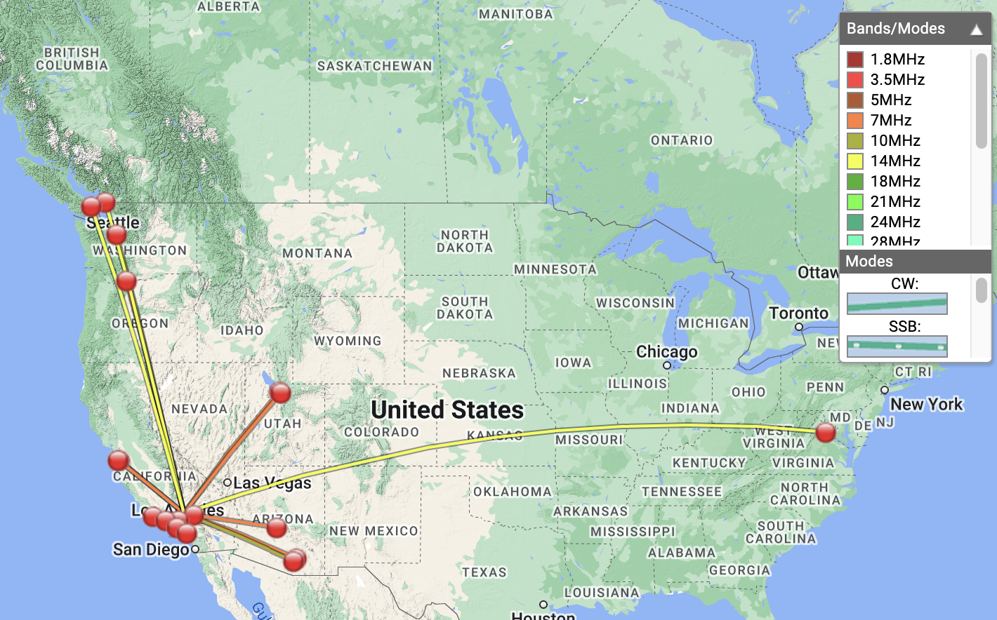
Date:28/01/2023 | Summit:W6/CT-118 (Mount McDill)
| Time | Callsign | Band | Mode | Notes |
|---|---|---|---|---|
| 21:06 | KN6OMR | 7MHz | CW | S57N R599 |
| 21:08 | KX0R | 7MHz | CW | S31N R33N S2S W0C/FR-102 |
| 21:10 | N6AN | 7MHz | CW | S58N R57N S2S W6/CT-225 |
| 21:10 | WU7H | 7MHz | CW | S559 R339 |
| 21:11 | K6EL | 7MHz | CW | S56N R52N S2S W6/CC-072 |
| 21:13 | NT6E | 7MHz | CW | S58N R559 |
| 21:14 | N6GO | 7MHz | CW | S55N R599 |
| 21:15 | KE6MT | 7MHz | CW | S57N R55N |
| 21:18 | AD6VT | 7MHz | CW | S57N R599 |
| 21:19 | KT5X | 7MHz | CW | S57N R33N |
| 21:31 | NW7E | 10MHz | CW | S519 R55N |
| 21:32 | N7EDK | 10MHz | CW | S44N R55N |
| 21:33 | N4LAG | 10MHz | CW | S56N R56N |
| 21:34 | KF6HI | 10MHz | CW | S57N R58N |
| 21:35 | NU7A | 10MHz | CW | S44N R32N |
| 21:38 | KF9D | 10MHz | CW | S53N R33N |
| 21:39 | W0MCB | 10MHz | CW | S44N R33N |
| 21:40 | WB5USB | 10MHz | CW | S51N R55N |
| 21:53 | W9MRH | 14MHz | CW | S52N R55N |
| 21:55 | WW7D | 14MHz | CW | S57N R54N |
| 21:55 | NE4TN | 14MHz | CW | S51N R44N |
| 21:57 | KD8DEU | 14MHz | CW | S52N R22N |
| 21:58 | VE7HI | 14MHz | CW | S51N R33N |
| 21:58 | AC7P | 14MHz | CW | S44N R55N |
| 22:02 | N6WT | 14MHz | CW | S21N R33N S2S W6/SC-171 |
| 22:03 | KX0Y | 14MHz | CW | S51N R44N |