W6/CT-207 – Semi Peak

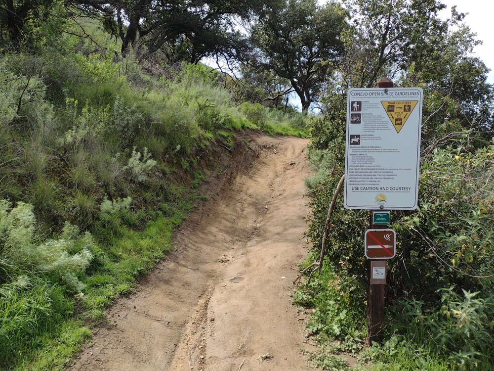
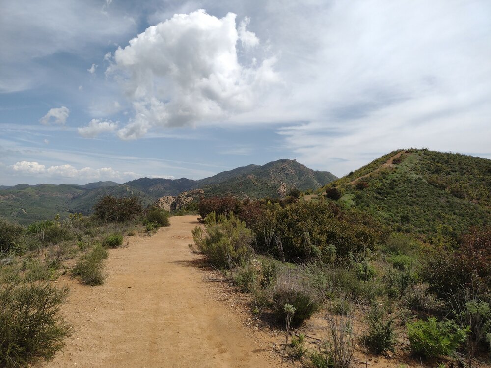
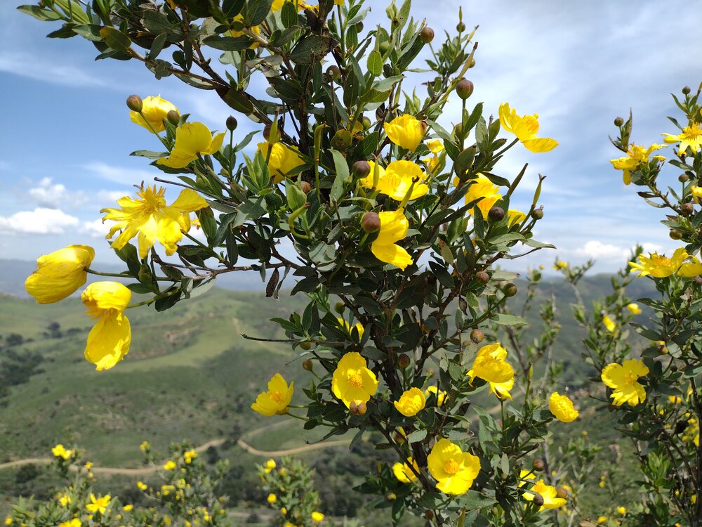
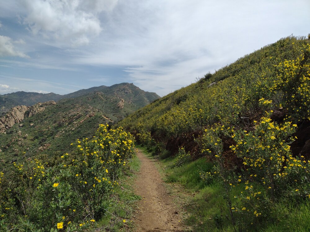
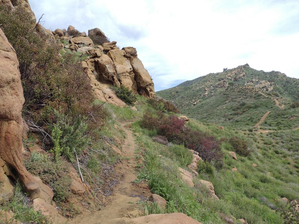
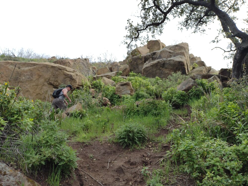
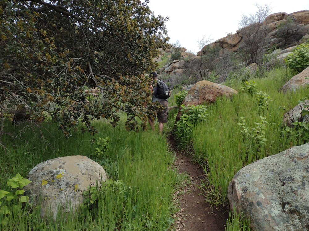
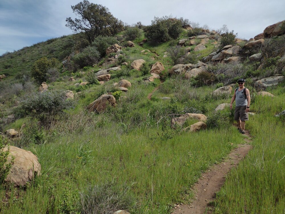
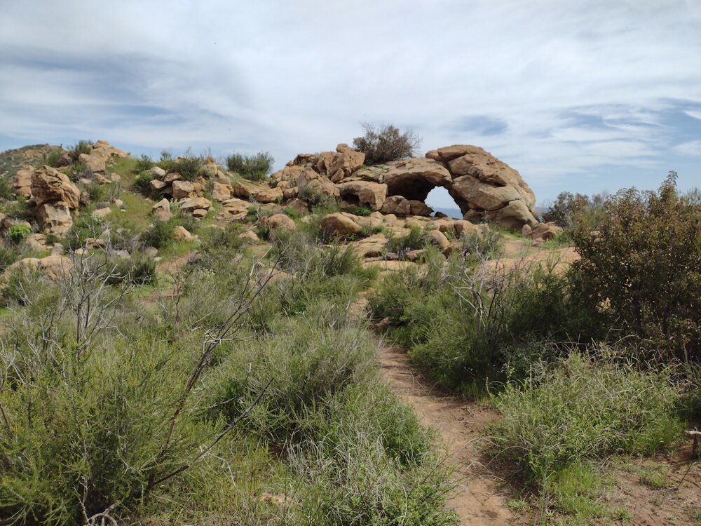
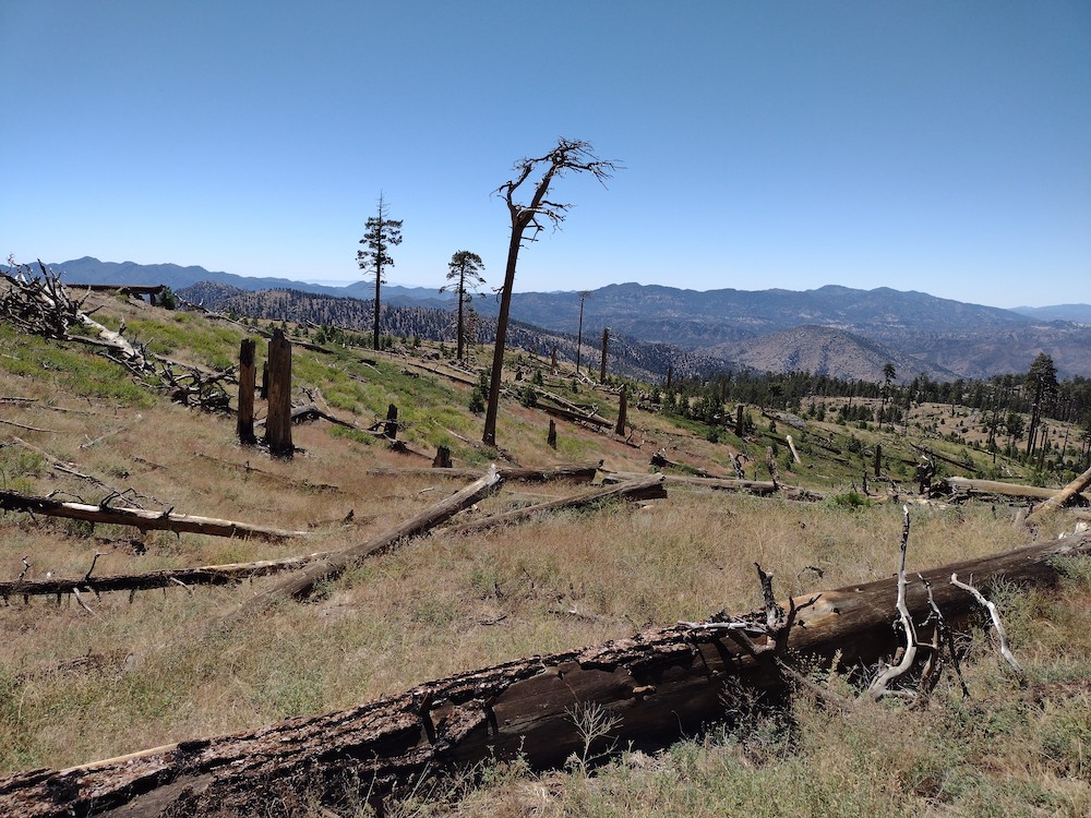
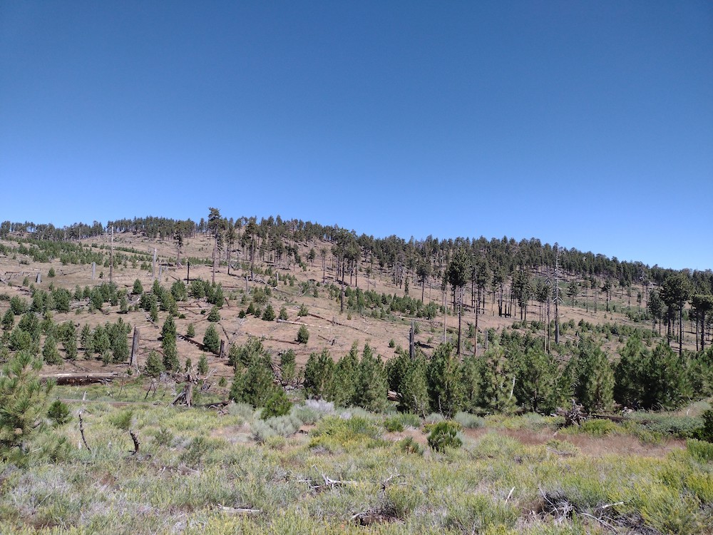
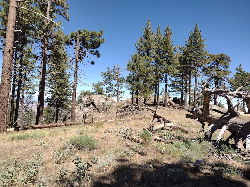
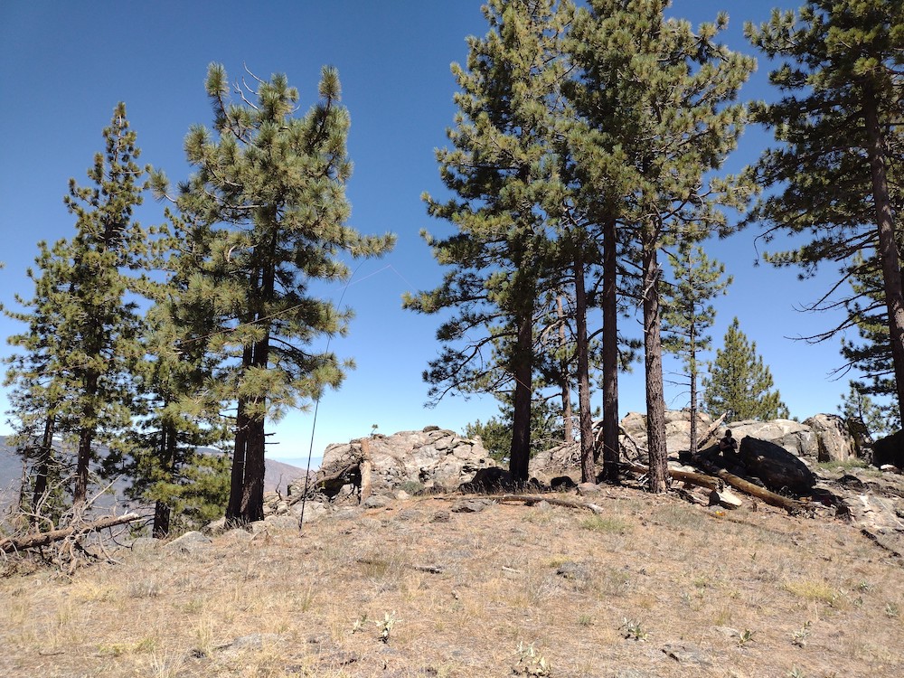
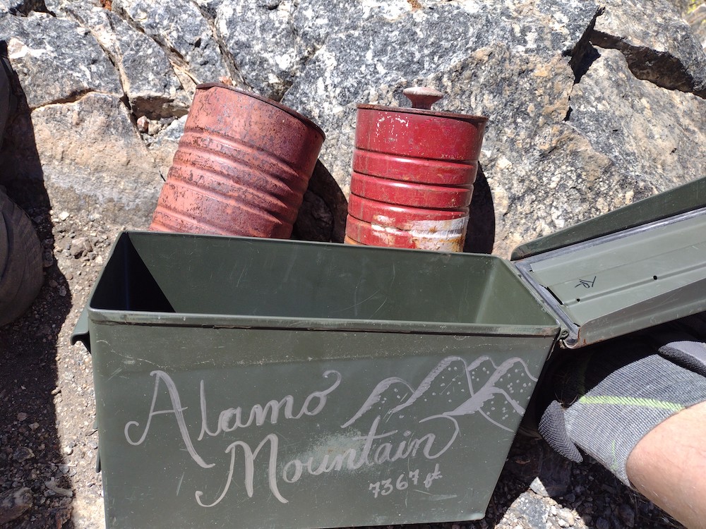
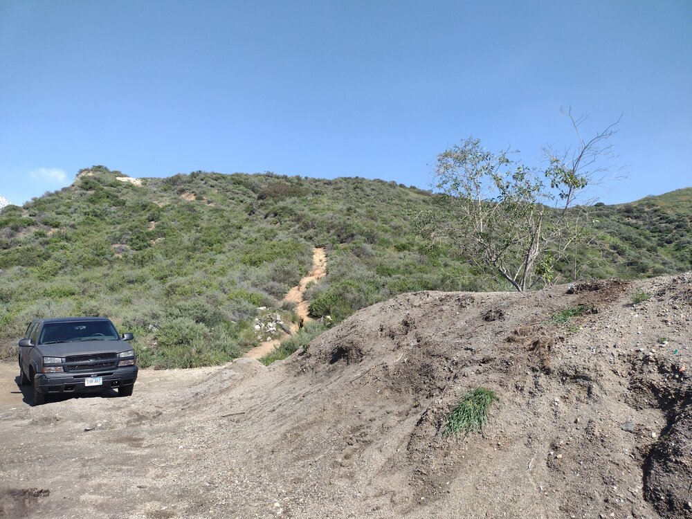
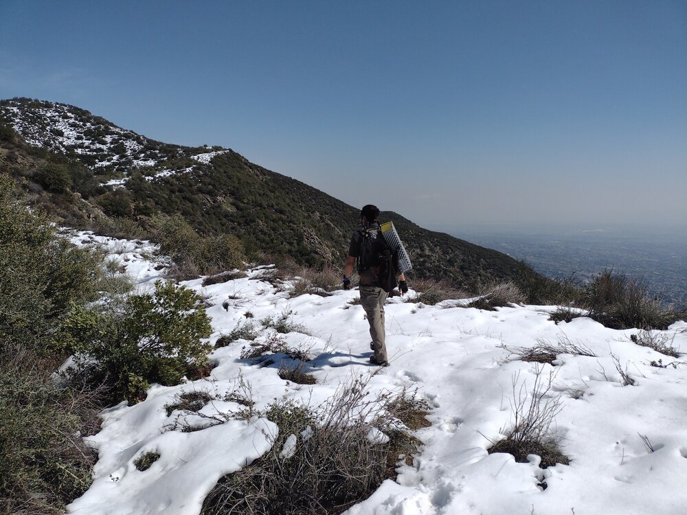
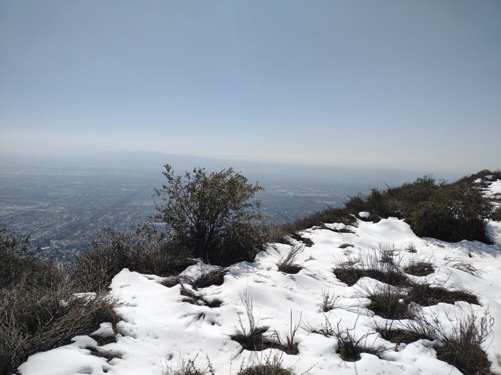
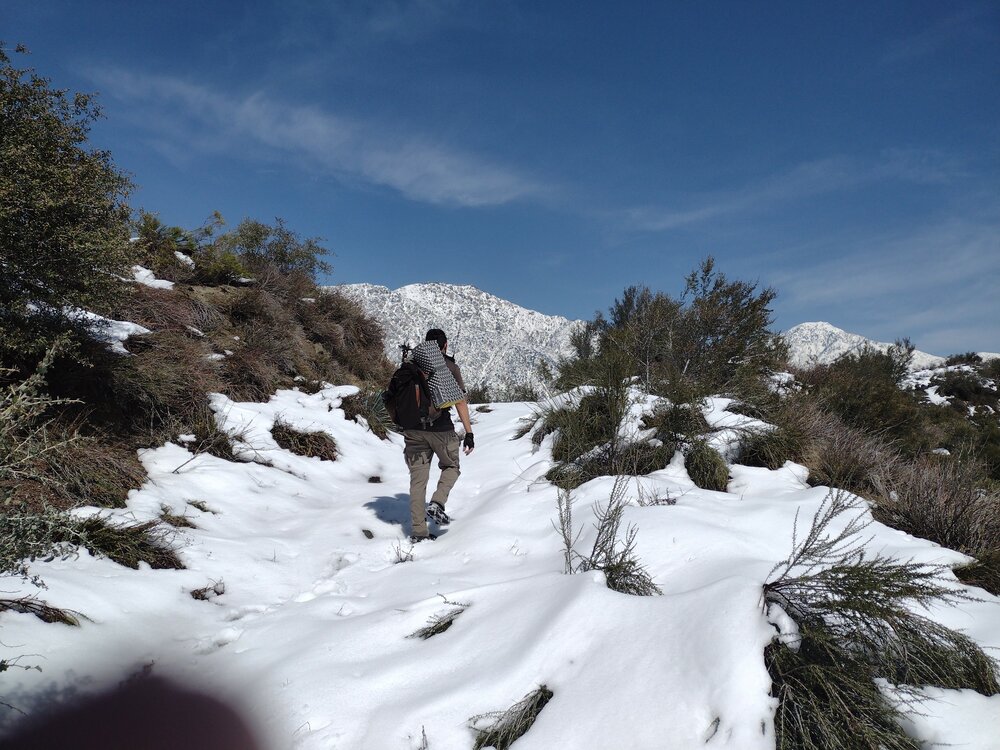
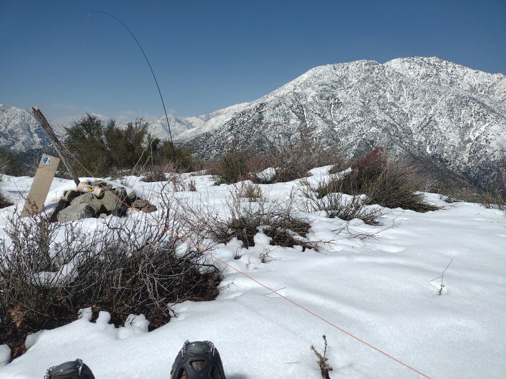
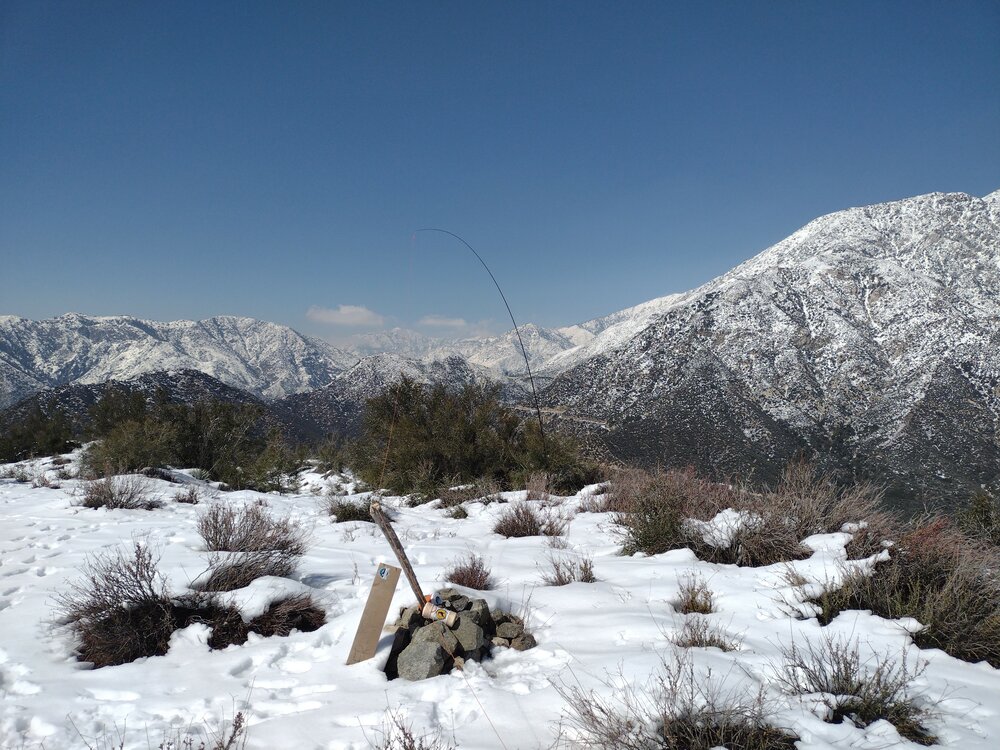
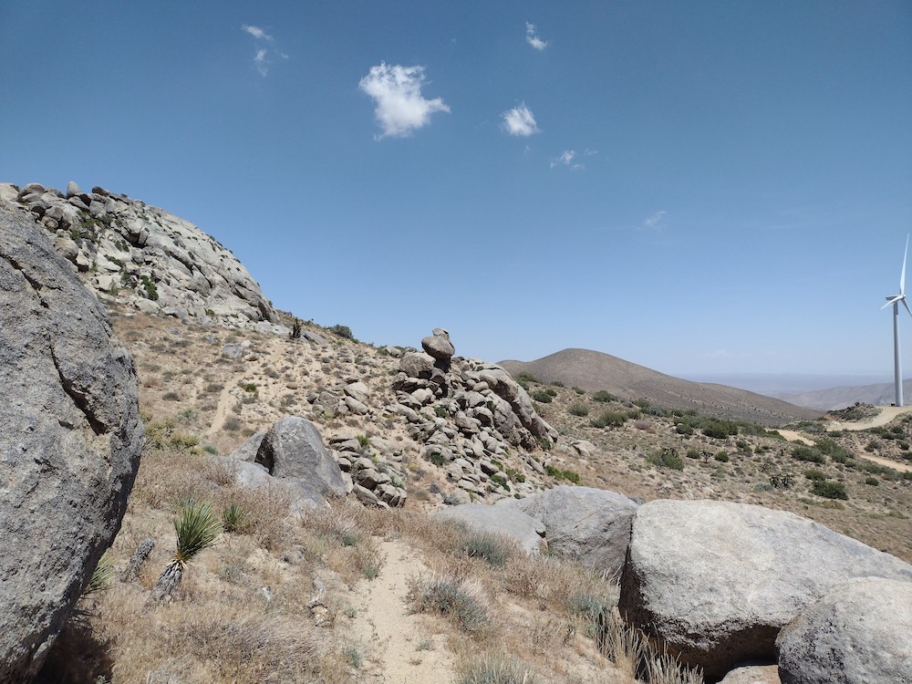
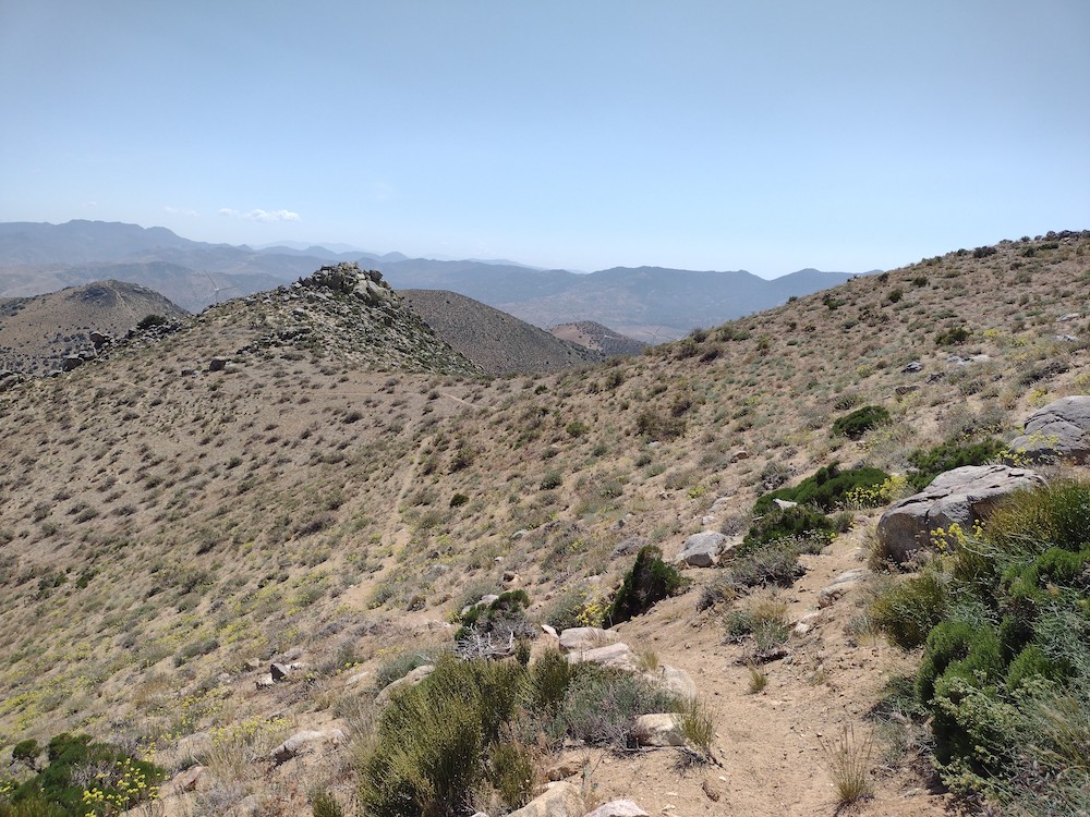
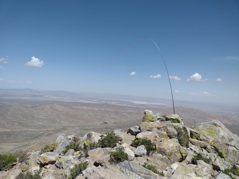
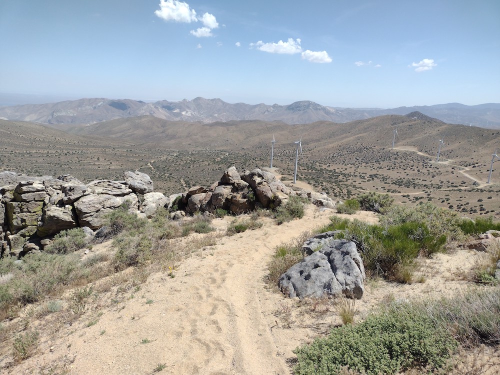
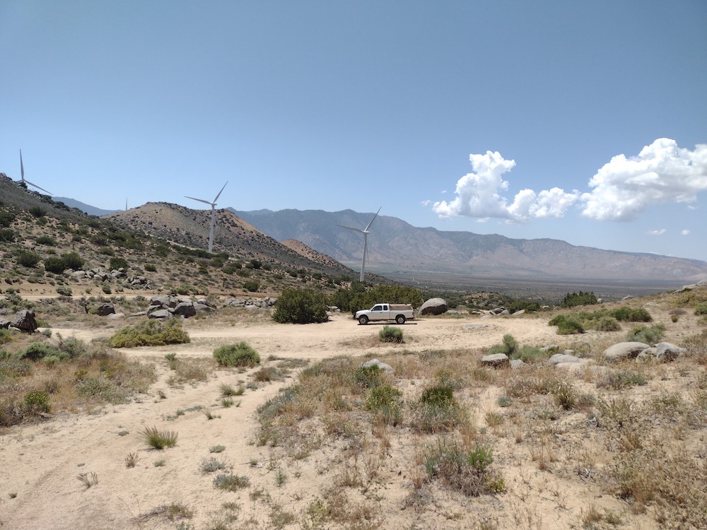
It was a wet winter and all the plants were very happy. While this summit is only worth 1 SOTA point, it’s totally worth hiking for the views alone. I hiked this with Jeff C. on a Friday to avoid weekend crowds. We ended up doing the “secret passage” route by following the tracks posted by N6ARA. Worked 20, 30, 40M CW at the summit. This is a beautiful hike and I hope to visit this place again in the future.

https://sotl.as/summits/W6/CT-207

Total distance: 6.8 mi
Max elevation: 2464 ft
Total climbing: 2255 ft
Total time: 05:21:27
Download file: Semi_Peak_W6_CT_207.gpx

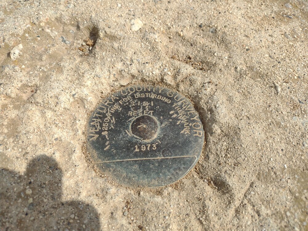
Date:17/03/2023 |  Summit:W6/CT-207 (Simi Peak) 

TimeCallsignBandModeNotes
22:36WB6POT7MHzCWS55N R55N
22:39KN6PHZ7MHzCWS56N R56N
22:45N7EDK10MHzCWS51N R55N
22:46K6QCB10MHzCWS57N R58N
22:47N4LAG10MHzCWS57N R55N
22:48NT6E10MHzCWS57N R57N
22:49K6HPX10MHzCWS58N R55N
22:50NU7A10MHzCWS54N R33N
22:55KE5AKL10MHzCWS51N R22N
22:57KF7SP10MHzCWS55N R55N
22:59NS3C10MHzCWS52N R53N
23:033A7AON14MHzCWS53N R55N
23:04N4MJ14MHzCWS45N R43N
23:05W0MNA14MHzCWS33N R33N
23:06W4KRN14MHzCW52N R44N
23:07W0ERI14MHzCWS33N R33N
23:13KE5AKL14MHzCWS52N R55N

W6/CC-008 – Alamo Mountain

I’ve had Alamo Mountain on my radar for awhile but never thought I could get up there without lugging the moto on my van out to the OHV area, then, ride up to the side of the mountain, hike up, activate, hike down, moto back to the van, load up and head home. It felt like a lot of effort for 6 points. Well, last year my wife bought a Subaru Crosstrek and ended up putting a suspension lift in along with 30″ tires. To tackle this summit, her and I ended up driving through Gorman OHV area (free, no need to pay for access if just passing through) on Gold Hill Road. Here the pavement ends and turns into 8N01 which leads to a loop around Alamo Mountain. At the intersection we made a left and stopped at the back side of the summit. Here we grilled some burgers before the hike, ate, then headed up.

There is no actual trail up, so this was kinda a bushwhack the entire way through knee high flora. This means there was a ton of spikey and pokey things getting stuck in our socks – so much that I think the socks I wore on this hike might be ruined – otherwise a beautiful day. Throughout the hike I was worried about snakes, but I didn’t see any. Worked 20M, 30M, and 40M CW, two 2s2 QSOs. Signed the logbook and headed down the hill. Back at the car we completed the loop around Alamo. There are a few more SOTA summits which start around this area, so hopefully I can return soon to activate them.

https://sotl.as/summits/W6/CC-008

Total distance: 2.28 mi
Max elevation: 7297 ft
Total climbing: 1385 ft
Total time: 02:37:35
Download file: Alamo_AG6N.gpx

Date:25/08/2023 |  Summit:W6/CC-008 (Alamo Mountain) 

TimeCallsignBandModeNotes
20:07K6HPX7MHzCWS58N R54N
20:08WB6POT7MHzCWS57N R57N
20:09WC6J7MHzCWS52N R52N S2S W6/NS-210
20:10NW7E7MHzCWS55N R55N
20:12W9SSN7MHzCWS53N R53N
20:13KD7DUG7MHzCWS55N R57N
20:14NT6E7MHzCWS57N R53N
20:15W6JP7MHzCWS57N R53N
20:21K6EL10MHzCWS42N R57N S2S W6/NC-423
20:22N6WT10MHzCWS57N R57N
20:23NU7Y10MHzCWS58N R56N
20:23W6TDX10MHzCWS57N R56N
20:25WU7H10MHzCWS31N R32N
20:27WW7D10MHzCWS31N R31N
20:28N6PKT10MHzCWS55N R55N
20:28K6YK10MHzCWS55N R55N
20:30KH2TJ10MHzCWS51N R55N
20:31KB7HH10MHzCWS55N R55N
20:33W2NC10MHzCWS55N R33N
20:36N7EDK10MHzCWS31N R53N
20:43F4WBN14MHzCWS31N R5NN
20:43W5ODS14MHzCWS55N R55N
20:44KF9D14MHzCWS55N R33N
20:47K7EVM14MHzCWS51N R54N
20:48K0LAF14MHzCWS32N R22N
20:51NA7EE14MHzCWS55N R55N

W6/CT-151 – Frankish Peak

Mike – KN6EZE started with SOTA around the same time as I did, so when we were both close to earning goat status- 1,000 points, we decided to do it together. Originally we were going to snowshoe up to Sunset Peak, however, that morning an avalanche blocked the road to the trailhead which forced us to quickly change plans. Had we been any earlier to Sunset Peak, we might have been stuck in Mount Baldy Village until the snow was cleared.

Nearby, Frankish Peak would satisfy the points needed for both of us to make goat status. This was a summit I’ve never climbed, in addition I already made a contact here so it would be a complete for me as well. The hike starts out on a narrow use trail that leads to a fire road, then another use trail which is quite steep, perhaps more of a climb to a ridge line. Here, there was plenty of snow accumulation which made the hike even more enjoyable.

At the top we spread out. I setup a 40M EFHW and Mike setup a 2M j-pole. After I exhausted all chaser on 40M Mike and I switched stations. Mike used a uSDX in SSB mode which made me want to get one of these inexpensive little radios. He then switched it to CW while I worked 2M FM. After reminiscing on the summit of all the adventures and summits before, we hiked back to the car the same way we came up. Traffic was terrible so we went to a restaurant and got a well deserved meal and a beer while things settled down on the highways.

https://sotl.as/summits/W6/CT-151

Total distance: 4.51 mi
Max elevation: 4247 ft
Total climbing: 2447 ft
Total time: 06:09:26
Download file: Frankish_Peak.gpx

Date:03/03/2023 |  Summit:W6/CT-151 (Frankish Peak) |  Callsign:AG6N 

TimeCallsignBandModeNotes
21:07K6KMH7MHzCWS58N R57N
21:08N4LAG7MHzCWS57N R55N
21:09KX6I7MHzCWS55N R57N S2S W6/SC-146
21:10K6EL7MHzCWS44N R55N S2S W6/NC-423
21:11K6YK7MHzCWS56N R55N
21:12KF6HI7MHzCWS57N R55N
21:13KE6MT7MHzCWS42N R53N
21:14K6TUY7MHzCWS57N R58N
21:17NT6E7MHzCWS58N R57N
21:20KD7DTS7MHzCWS57N R599 S2S W6/CC-056
21:49KD7DTS144MHzFMS56 R57
21:52N6XZN144MHzFMS59 R59
21:53KK6TDU144MHzFMS59 R59
21:55WA2KDL144MHzFMS55 R59
21:56KD7WPJ144MHzFMS58 R58
21:58KM6QPV144MHzFMS59 R59
22:00KN6FNY144MHzFMS57 R57
22:03KI6SLA144MHzFMS59 R59
22:09K6NOV144MHzFMS33 R55

W6/SC-002 – San Emigdio Mountain 🏔️

San Emigdio Mountain is basically a drive up. This could be done in a 2wd vehicle with enough clearance; at the time I visited as the road seemed like it was recently graded. I parked at a large turn around area and started hiking up to the top. Once there I realized I went the long way, not a problem though since this was a short hike. I used the Yaesu 817 on the high bands. Worked 10M, 12M, 15M and 17M. Two s2s contacts. I signed the register and started heading down, where I picked up a faint use trail back to the road. I explored an area that looked like it might have been a mine at some point, then headed up the hill to the truck.

https://sotl.as/summits/W6/SC-002

(I screwed up the .gpx recording, but the data below will get you to the summit)

Total distance: 0.27 mi
Max elevation: 7418 ft
Total climbing: 305 ft
Total time: 01:39:34
Download file: SanEmigdio_AG6N.gpx

Date:18/08/2023 |  Summit:W6/SC-002 (San Emigdio Mountain) 

TimeCallsignBandModeNotes
20:01W6TDX18MHzCWS55N R54N
20:03K9EZ18MHzCWS52N R33N
20:06WW7D18MHzCWS51N R31N S2S W7W/SN-089
20:08N6AN18MHzCWS31N R519 S2S W6/CT-225
20:19KC3RT24MHzCWS51N R43N
20:22KK2B24MHzCWS57N R33N
20:33NW7E21MHzCWS57N R53N
20:38WB8BHM21MHzCWS51N R31N
20:40AB4PP21MHzCWS41N R33N

W6/SS-423 – Butterbredt Peak 

Butterbredt Peak was my first stop on a trip to activate several summits around the northern edge of the Mojave Desert and the south edge of the Sierra Nevada mountain range. I left Los Angeles for my trip late in the day which had me rushing to get up to the summit before 0:00 zulu. This also put me square in the hottest part of the day. The hike up Butterbredt started easy, but maybe a half mile in the path got steep and extremely sandy, to the point where I felt like I was on a sand treadmill, only making a few inches of progress for each step. Thankfully, this section was short and I was able to continue on. Along the way, fighter jets ripped through the sky along with the defining sound of their engines. I sat and watched them fly around for 10 minutes or so. The top was windy, which is expected on desert summits. I spotted via APRS and started calling CQ on 40M. Not too many takers. I moved to 30M and picked up one more contact, then moved to 20M. Picked up one more contact there. Just 4 contacts on 3 bands… Was my radio broken? Nope, there was a solar event which was blacking out HF. I hiked down the same way I came up, got into the truck and looked for a place to camp for the night.

https://sotl.as/summits/W6/SS-423

Total distance: 2.46 mi
Max elevation: 5996 ft
Total climbing: 1425 ft
Total time: 03:01:34
Download file: W6_SS_423.gpx

Date:01/06/2023 |  Summit:W6/SS-423 (Butterbredt Peak) 

TimeCallsignBandModeNotes
22:42WB6POT7MHzCWS58N R57N
22:44W6TDX7MHzCWS57N R55N
22:58WW7D10MHzCWS33N R32N
23:15W7NNR14MHzCWS57N R559