W6/CT-029 – Mt. Emma

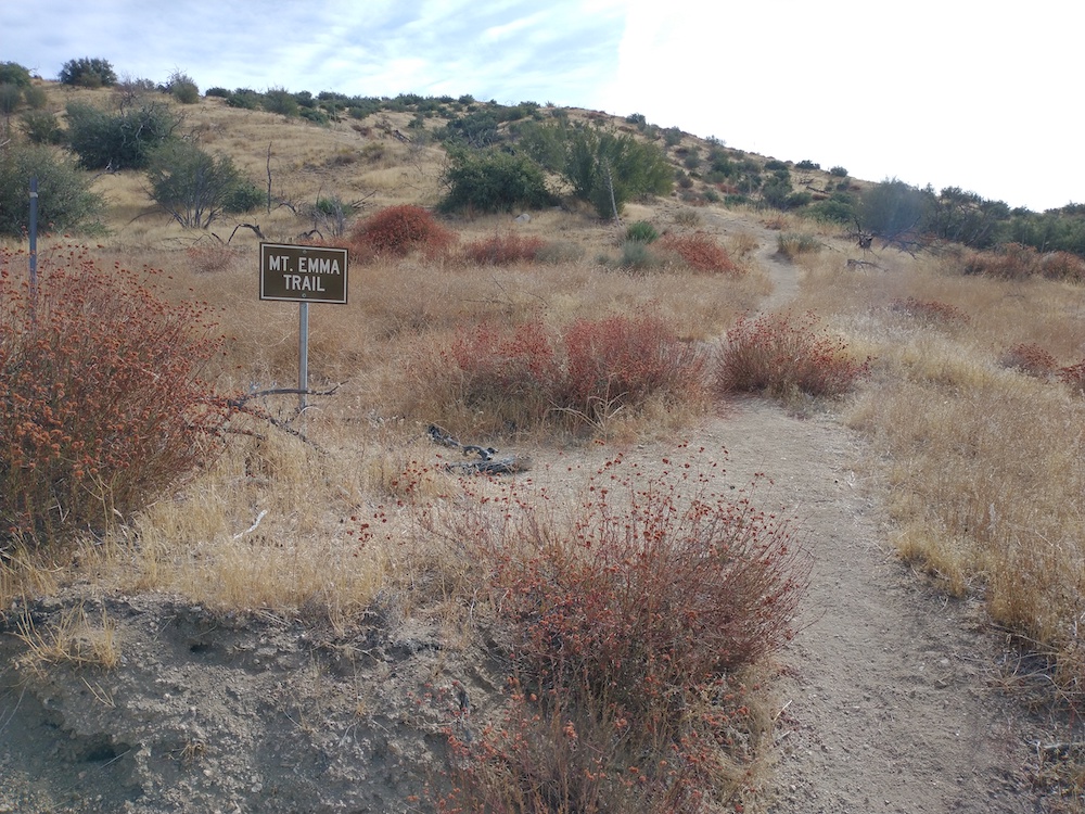
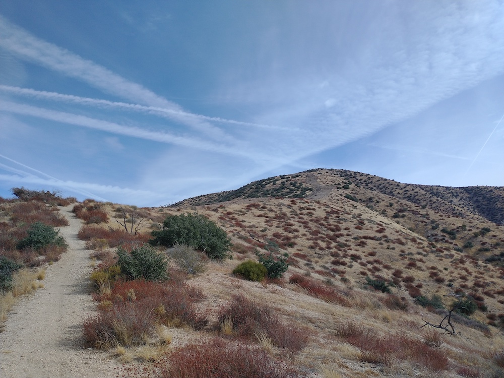
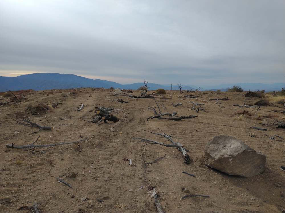
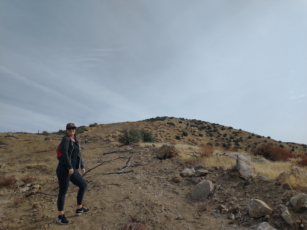
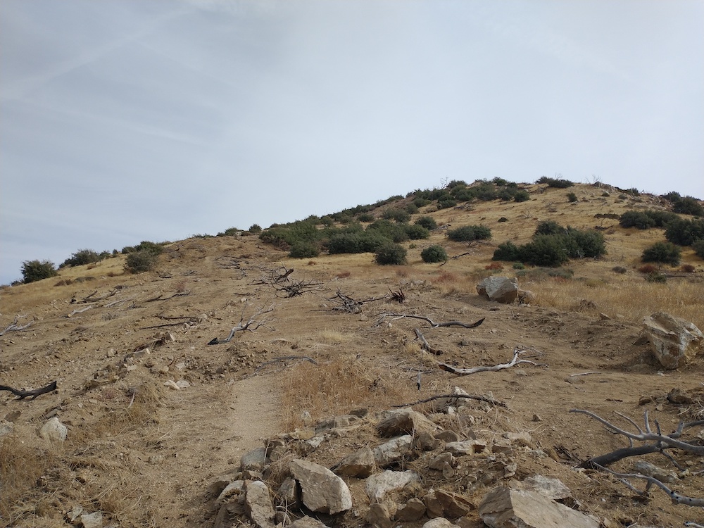
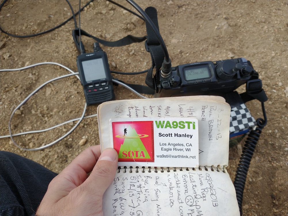
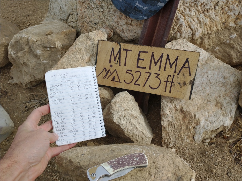
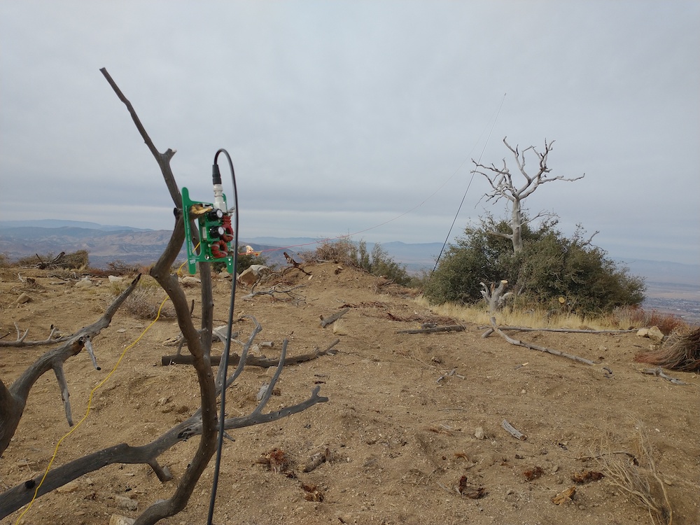
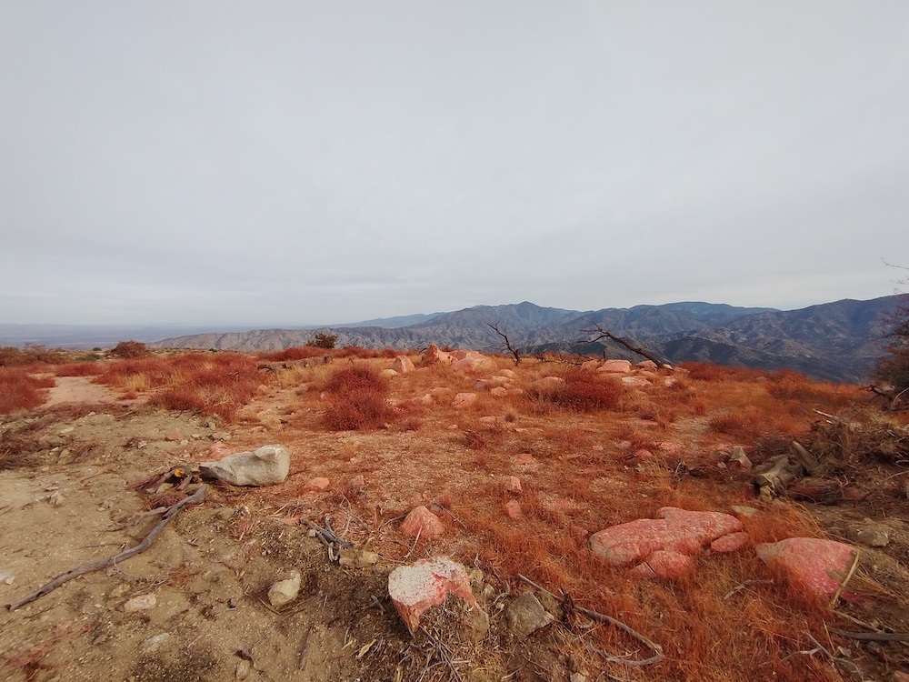
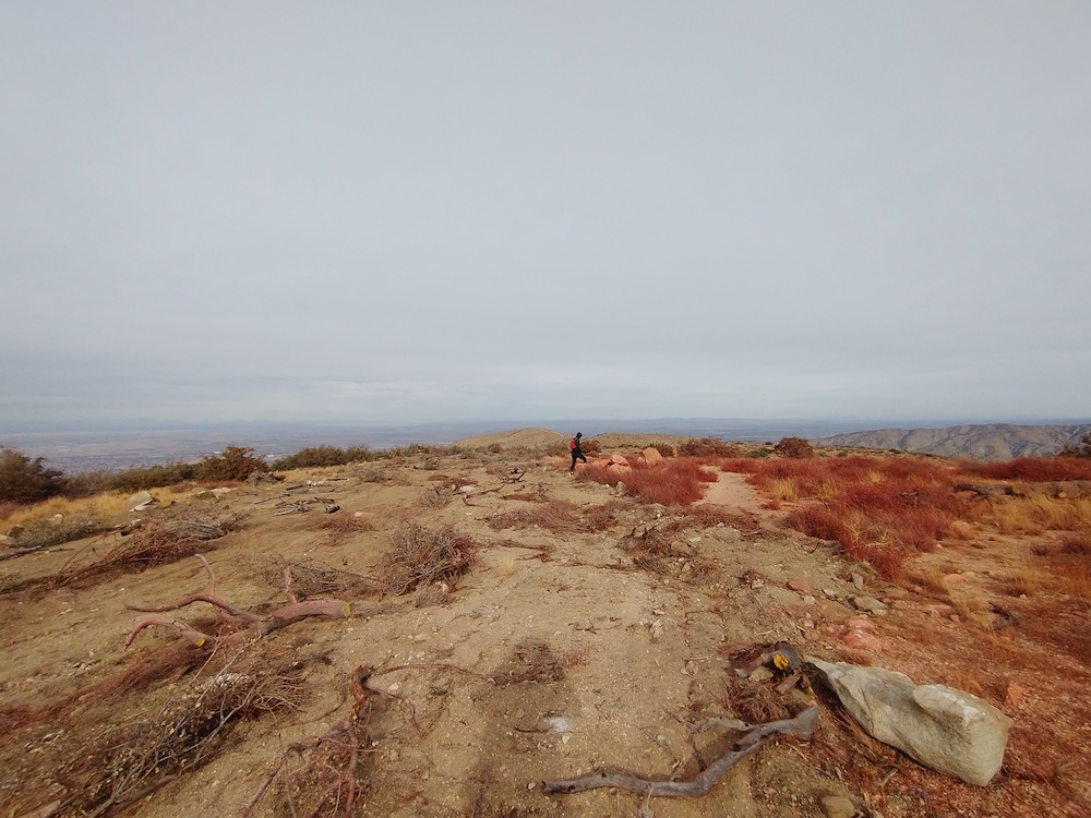
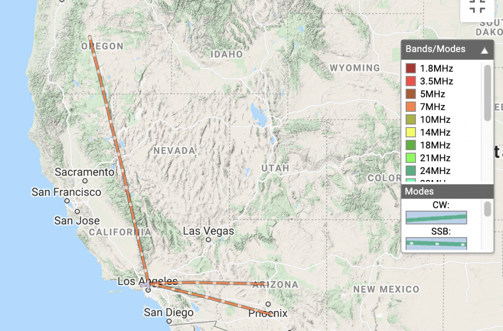
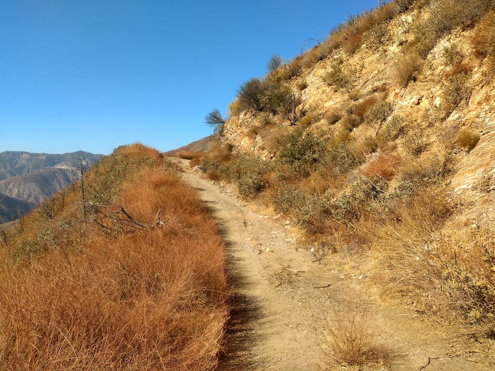
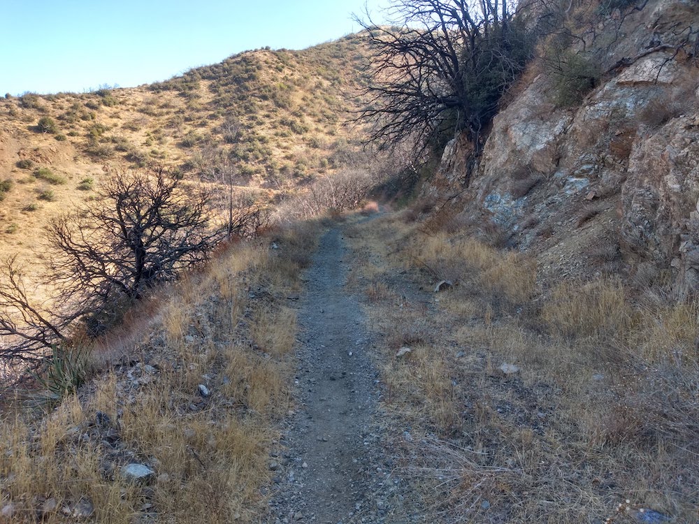
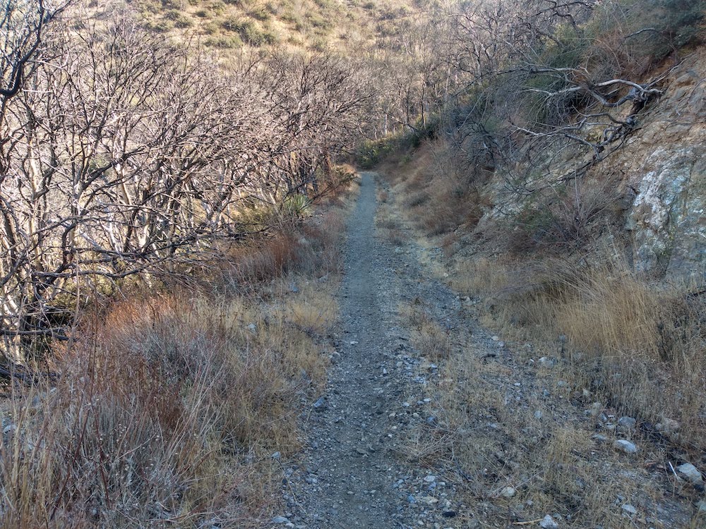
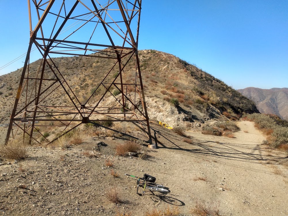
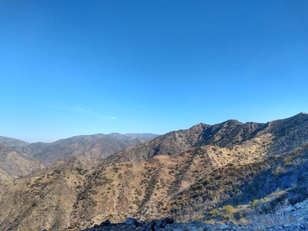
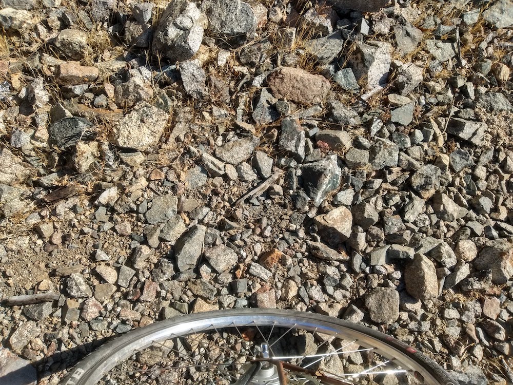
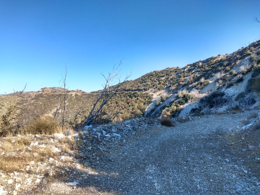
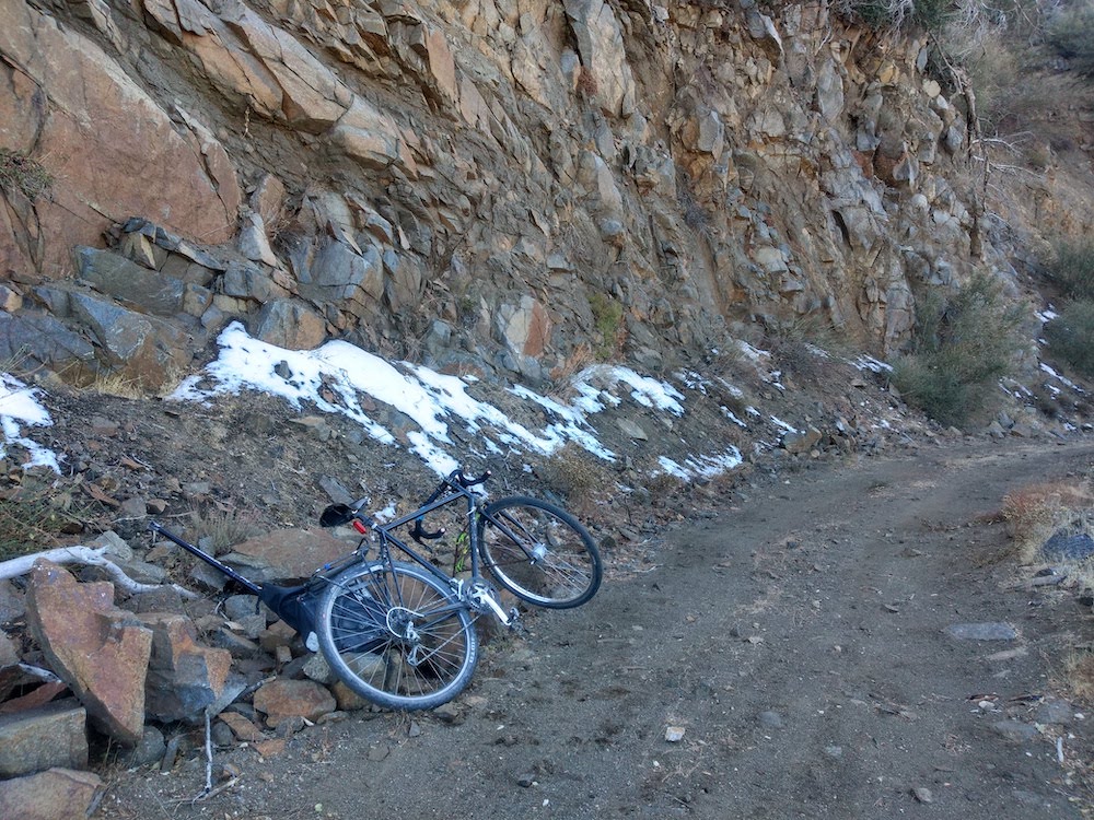
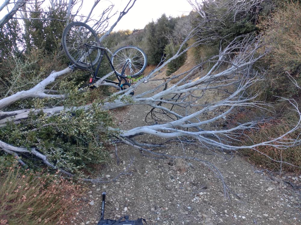
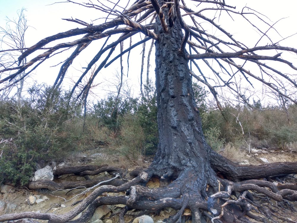
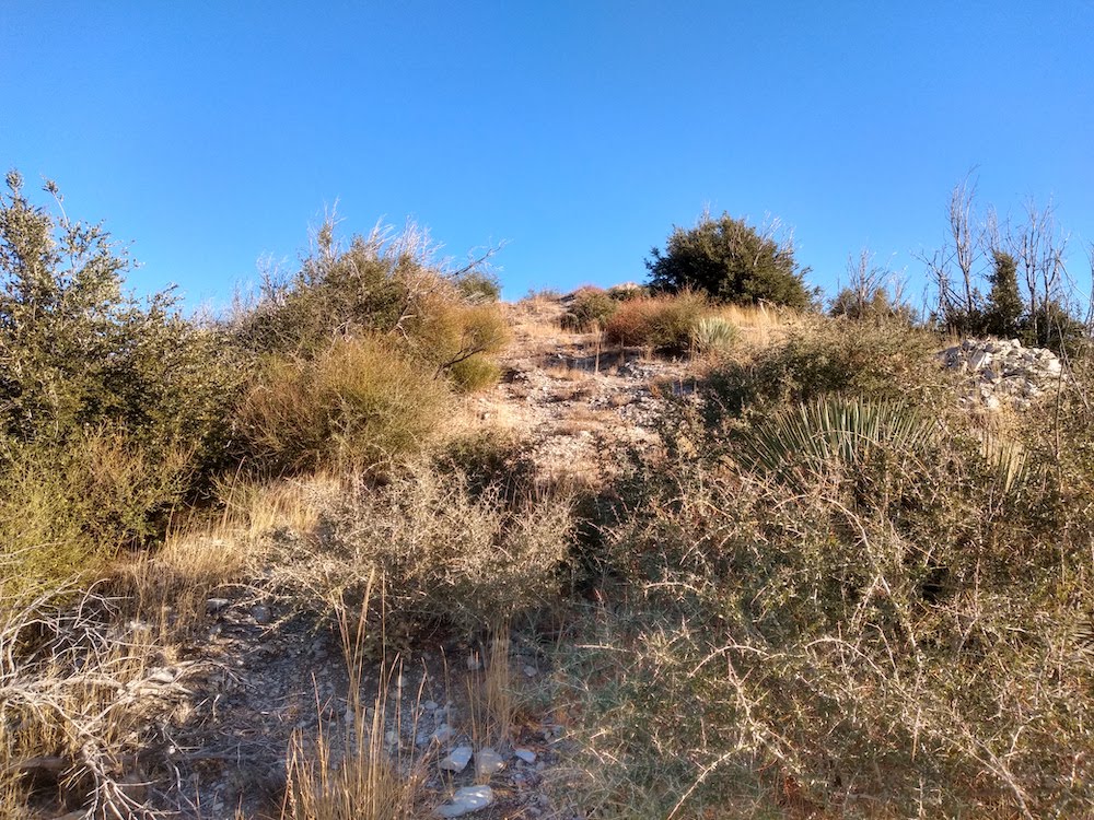
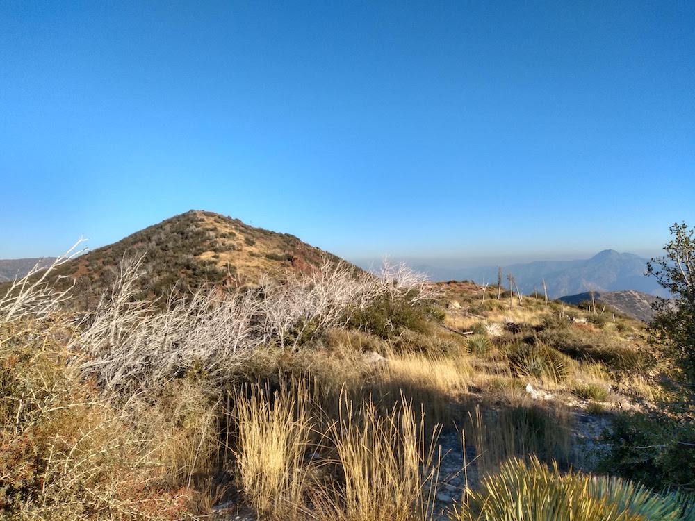
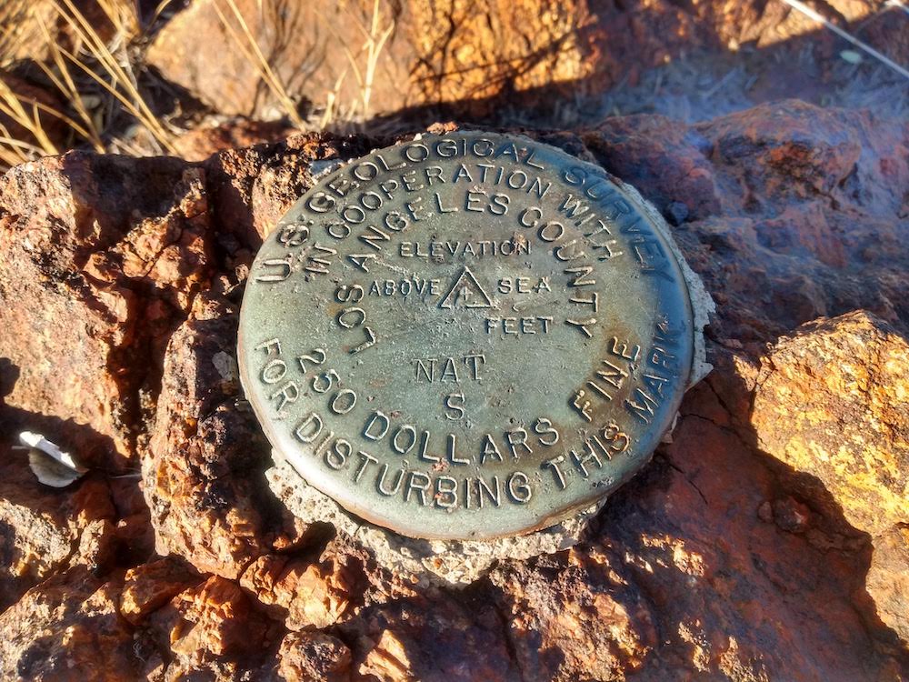
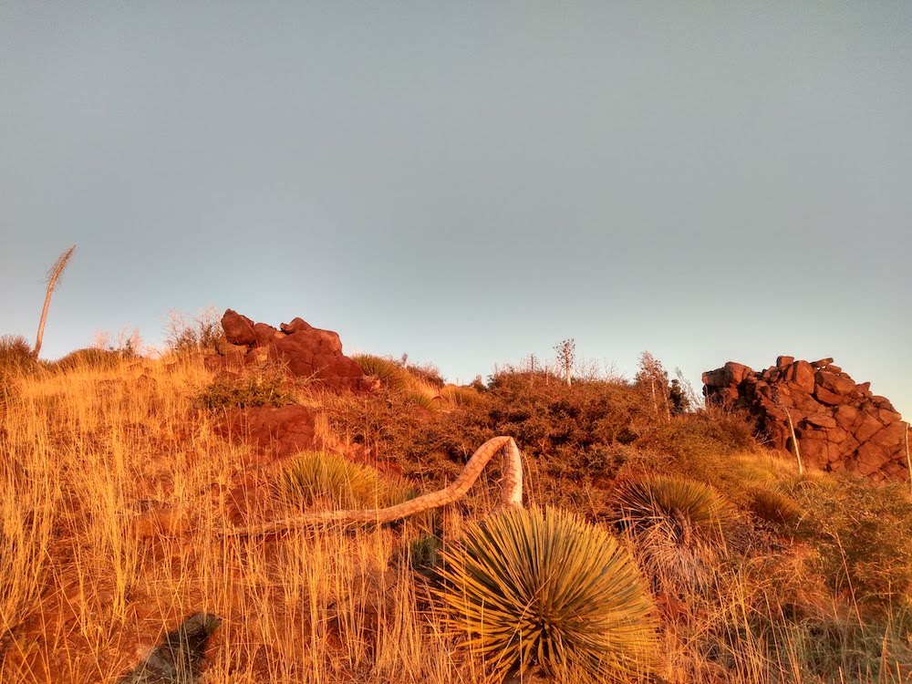
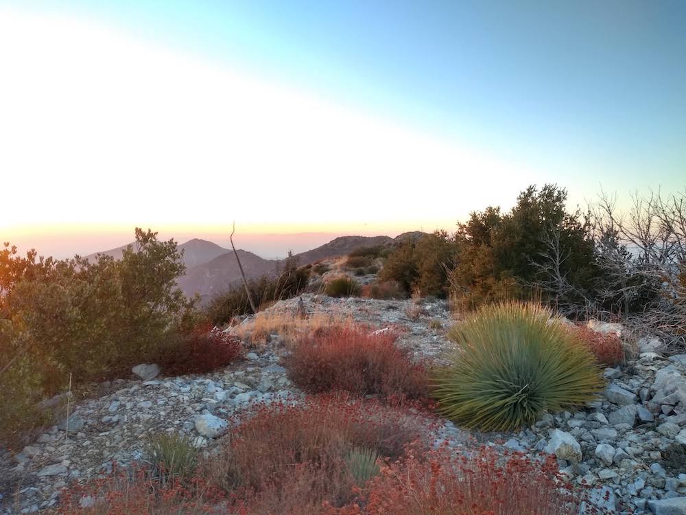
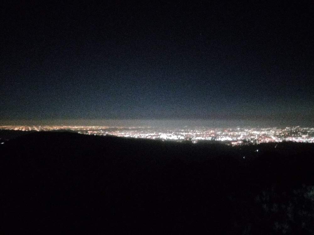
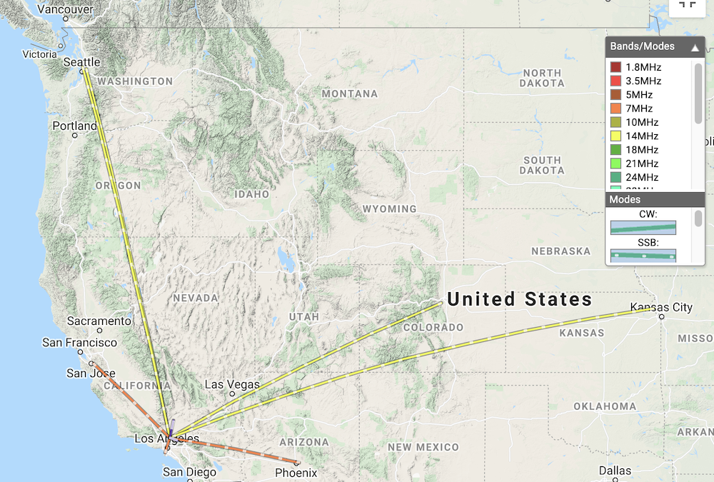
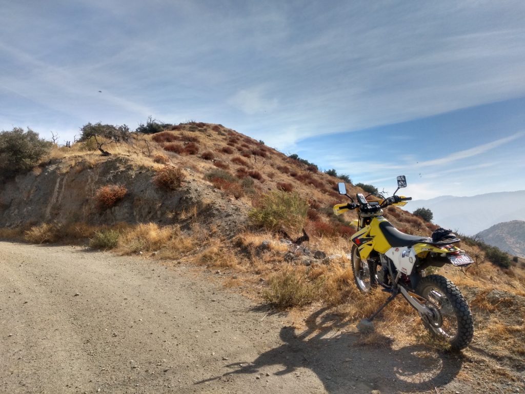
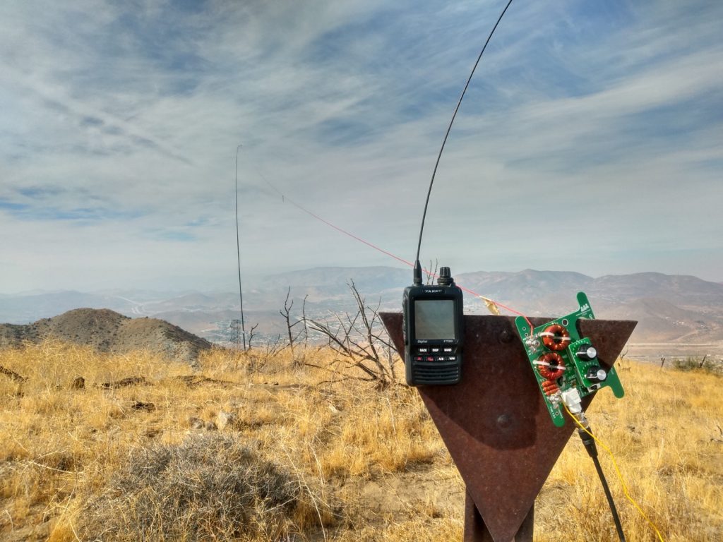
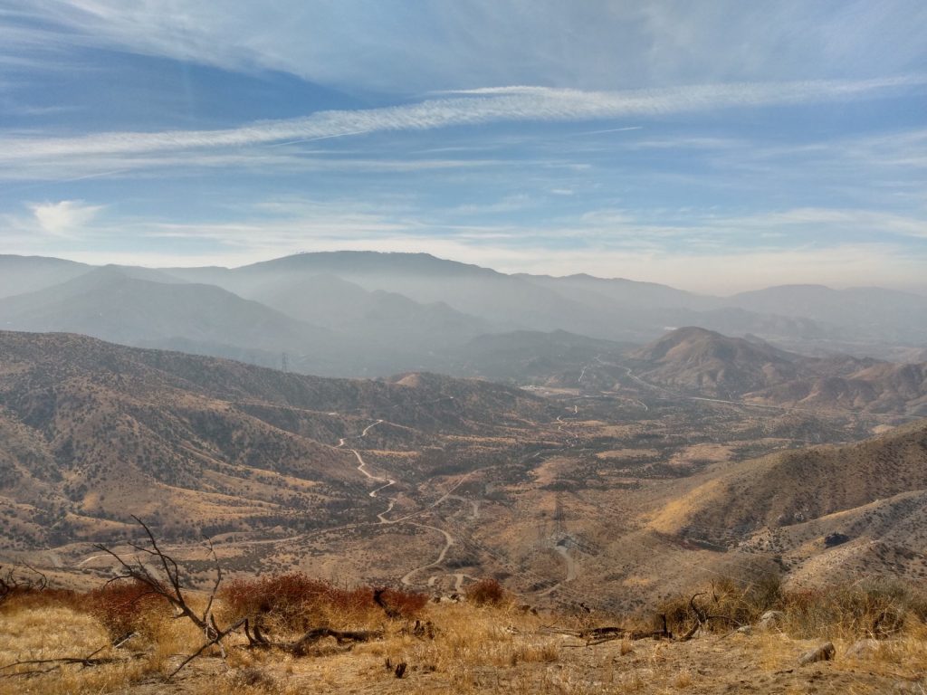
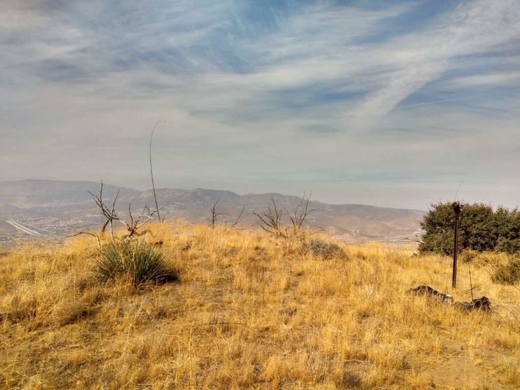
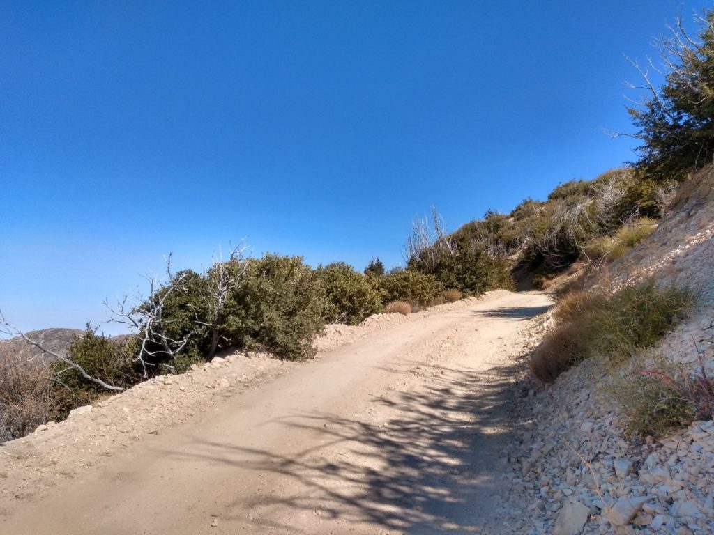
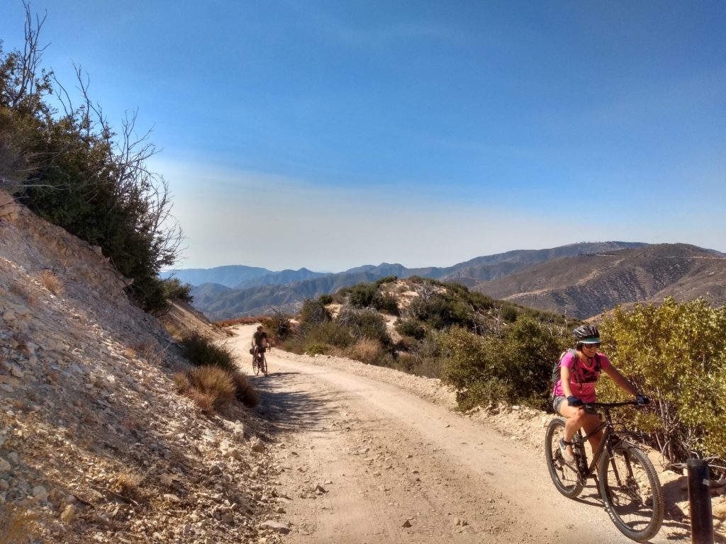
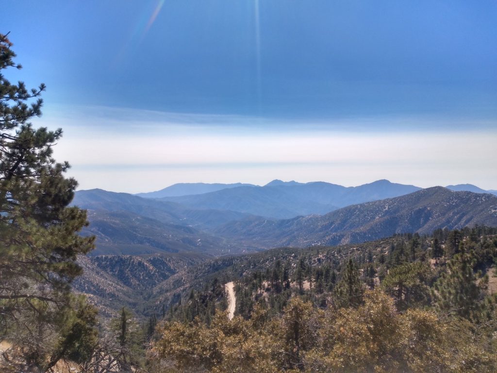
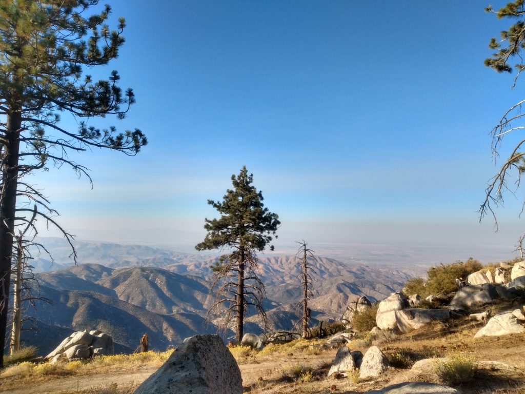
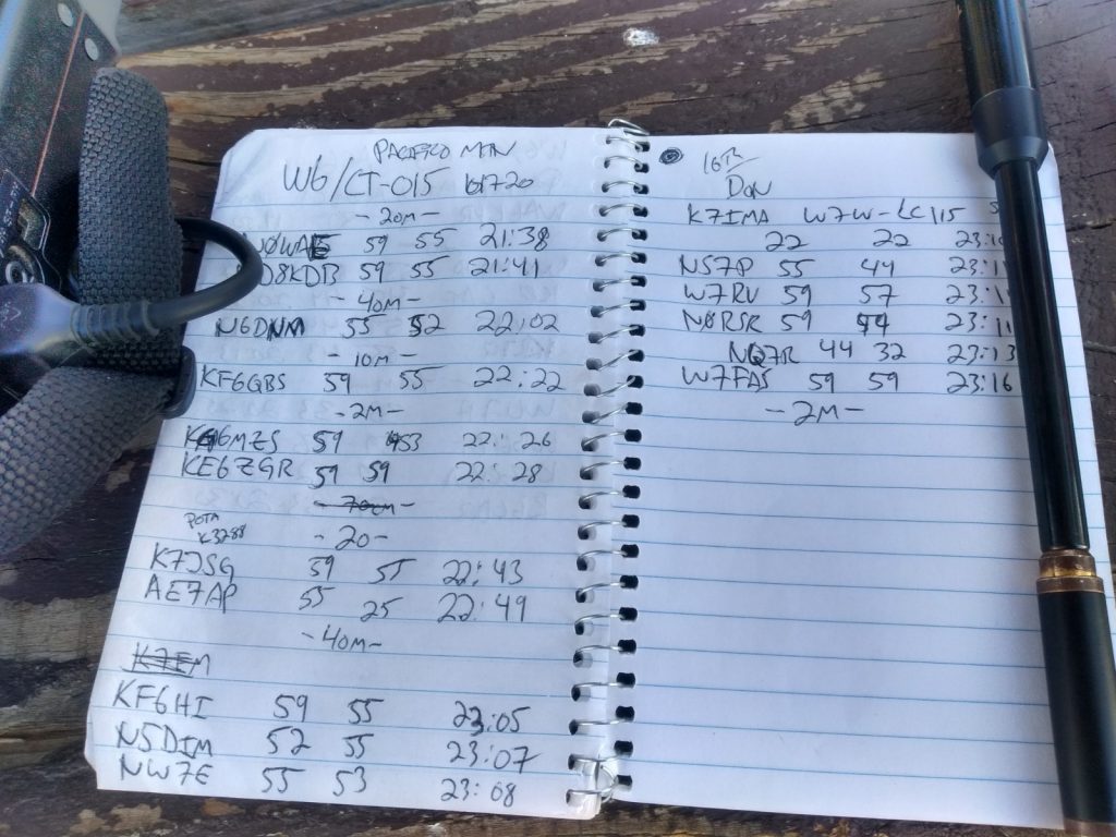
Mt. Emma had been on my radar for awhile, but the lower elevation and lack of shade pushed this down my list until cooler months arrived. My wife and I wanted to get out of the house, so this was a perfect spontaneous activity on a cool November day. Start on Mt. Emma road – there is a small parking area directly across from the trailhead, and a small sign lets you know you’re at the right place. At first the trail winds through chaparral up the first hill. After about 10 minutes of hiking, you will discover the trail was replaced with a recent fire break, most likely in response to the Bobcat Fire. Follow the fire break all the way up to the summit. It’s quite steep, my GPS reported a 15% ~ 30% grade. At the top, I found the summit marker, but no benchmark. Maybe it was destroyed by a land clearing machine? I also observed red fire retardant on the ground, the kind dropped form aircraft. Interestingly, it appeared that this was dropped before the land was cleared. I setup a long wire antenna into my Yaesu 817, self spotted via APRS. Made a few contacts on 20M, tried 17M with no luck, then moved to 40M and made several more with one summit to summit. I look forward to activating this again in a years time to see how the plants recover. Maybe I should plant a native tree up there?

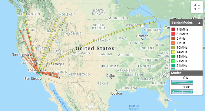
https://sotl.as/summits/W6/CT-029

Total distance: 1.89 mi
Max elevation: 5272 ft
Total climbing: 1057 ft
Total time: 02:49:34
Download file: Mt.Emma.GPX

Date:20/11/2020 | Summit:W6/CT-029 (Mount Emma)
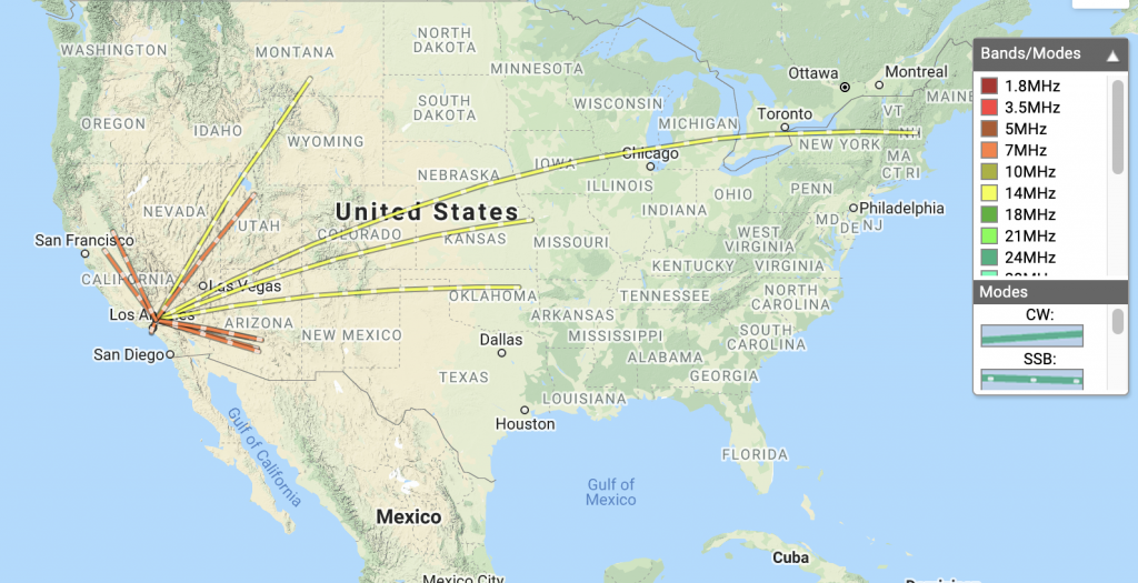
TimeCallsignBandModeNotes
21:05W0MNA14MHzSSB55 59
21:06AC1Z14MHzSSB22 55
21:07KD8KDB14MHzSSB22 55
21:08WB7BWZ14MHzSSB53 59
21:09W5ODS14MHzSSB55 59
21:44NG6R7MHzSSB55 59
21:44W7USA7MHzSSB55 59
21:45K6RIN7MHzSSB33 59
21:46N0RSR7MHzSSB59 59
21:48K6LDQ7MHzSSB54 59
21:49NQ7R7MHzSSB55 55
21:50W6DT7MHzSSB44 45 S2S W6/SN-049
21:51KL7HM7MHzSSB33 59
21:53K6YK7MHzSSB55 59
21:55WB7ULD7MHzSSB51 55
Trail head just off Mt. Emma road
Path to the recently cleared fire break
Newly cleared fire break
Wife
Looking up at the summit
Summit log, looks like WA9STI was here sometime in 2013
My log at the summit. Found pocket knife. I have no idea where the benchmark went.
Long wire antenna
Fire retardant. This was dropped before the new fire break was cleared
Another view of the summit, hopefully things will start to look normal in a few years.

W6/CT-024 – Iron Mountain

Iron Mountain is one of those summits in Southern California which hasn’t been activated too many times, and for a good reason. It’s a long hike, or in my case, a long, hard bicycle ride. I started at Dillon Divide full of energy ready to tackle the summit around 11am, but quickly found this bike ride to be laborious, not because of the distance or the uphill grade, but because the road was covered in rocks ranging in size from a softball, to large marbles. Trying to put any kind of effort into the rear wheel resulted in a tire without traction. In the worst spots on the trail, the front wheel was bobbing around left and right, looking for traction as well! Needless to say, I had to push the bike up most of the way.

Fallen trees and rock slides along the way made this hike with a bike more difficult. After a few hours of climbing over fallen trees, through deep gravel – wanting to give up and turn around, I made it to the bottom of the summit. Of course, I didn’t do any research on how to actually get to the top so I spent some time looking at contour maps to find the least steep route. This turned out to be an old fire break, which was quite over grown and not really visible. At the top, the benchmark was easy to find. I signed the summit log, which was last signed in May.

Daylight was running out quickly, so I setup my station as fast as I could and made enough HF contacts to qualify the summit, switching over to VHF for additional contacts while breaking down the long wire antenna. As the sun started to dip below the horizon, I started the hike down to my bike, which I left near the road up. It was twilight, but the bike I was riding has a dynamo front wheel that generates light. Going downhill was somewhat easier than going up. You see, I’m riding a bike with somewhat skinny tires and brakes that don’t work well at all. This trip would have been better on a different bike! About a quarter of the way down, it was pitch black. Ten miles plus endless switchbacks and large rock dodging, in addition to severely cramped hands and not enough light required laser focused concentration, but I made it down safely, with all my gear – tired, beat up, cold and hungry. All in all, this was pretty tough and I can’t wait to do it again.

https://sotl.as/summits/W6/CT-024

Total distance: 23.34 mi
Max elevation: 5651 ft
Total climbing: 5037 ft
Total time: 07:33:56
Download file: Iron Mountain.GPX

Date:14/11/2020 | Summit:W6/CT-024 (Iron Mountain)

TimeCallsignBandModeNotes
00:04KB7JJG7MHzSSB59 52
00:05NW7E7MHzSSB59 53
00:06N0RSR7MHzSSB55 55
00:18NE6R14MHzSSB59 59
00:25KN6LBJ144MHzFM
00:26WB2WIK144MHzFM
00:27KK6TLN144MHzFM
00:28W1SAV144MHzFM
00:28KI6PMD144MHzFM
00:31KK6TDU433MHzFM
Gate at Dillon Divide

UPDATE! May 31st, 2021

Forest road 3N17 is open, so I decided to activate Iron Mountain again, but from from the other direction; Mount Gleason area. I drove my SOTA mobile about as far as I was comfortable, ending up just to the side of Lightning Point campground. You could drive another mile or so down the narrow dirt road until you reach a locked gate. From here, you hike down to the summit! I think this is a first for me. The trail is mostly exposed, so bring extra water.

Total distance: 9.87 mi
Max elevation: 6142 ft
Total climbing: 2251 ft
Total time: 06:01:57
Download file: IronMountain2.gpx

W6/CT-144 – 4460

I’ve been looking for more summits which are accessible by dual sport motorcycle, and the western edge of the Angeles National Forest seems to have a few from what I can gather via internet research. I just need to ride around the area and see how accessible they are. This summit is just off BPL Road, which I believe, is private. However, the roads are in the forest, which is open. It shouldn’t be an issue to use the land so off I went. Near the summit, I parked the moto off the side of the road and followed the ridge line up to the top. An inverted triangle post was used to hold a QRP Guys end fed tuner, with 41′ of wire stretched out to a collapsible fishing pole. I worked 20M, 40M, and 2M. One summit to summit contact on FM. There are a few more 2 and 4 point summits in the area, which I hope to activate soon.

https://sotl.as/summits/W6/CT-144

Total distance: 0.56 mi
Max elevation: 4451 ft
Total climbing: 308 ft
Total time: 01:42:13
Download file: W6:CT-144.GPX

Date:23/10/2020 | Summit:W6/CT-144 (4460)

TimeCallsignBandModeNotes
20:20NOWAE14MHzSSB59 55
20:21WW7D14MHzSSB59 57
20:22N0MNA14MHzSSB55 44
20:24W0ERI14MHzSSB55 44
20:25KG6MZS14MHzSSB57 43
20:27WU7H14MHzSSB59 58
20:43N6NKT7MHzSSB59 33
20:44W7RV7MHzSSB20:44
20:46K6LDQ7MHzSSB55 33
20:53KA6VVD144MHzFM
21:06KN6CQX144MHzFMS2S W6/CT-004
Twisty dirt roads
I parked here and hiked the rest of the way to the top.
Yaesu FT2D + QRP Guys end fed tuner + 41′ of wire
Looking off from the summit
Activation Zone

W6/CT-015 – Mt. Pacifico

I’ve read that the road to Mt. Pacifico was closed to traffic, which made me want to cycle up to the top and enjoy the views with little interaction with others. This wasn’t the case. At the time of writing this, the road is open, all the way to the top, and the campground was occupied. Most traffic and the campers seemed to be hunting something, maybe birds? It’s not a very nice hike up the fire road, so if I’d known the road was open I probably would have ridden my DRZ dual sport motorcycle to the summit. (You can also hike the PCT to the summit, which I might do next time!) I made the trip with T. and E., my cycling pals. Of course, we got to the trailhead at the hottest time of the day. The fire road up doesn’t supply any shade, which made the ascent much harder in the blaring sun. After about 5 miles of climbing, you will see a sign directing you to the summit. This road offers some well needed shade, but not much. At the top, my standard HF station was setup at a picnic table. APRS packets were getting to an iGate for self spotting. In all, we spent two hours on the summit with contacts made on 10M, 20M, 40M and 2M. The thrilling ride down took a fraction of the time it took to get up. The downhill made cycling all the way up worth it!

https://sotl.as/summits/W6/CT-015

Total distance: 12.35 mi
Max elevation: 7125 ft
Total climbing: 2499 ft
Total time: 06:04:08
Download file: Pacifico.GPX

Date:17/10/2020 | Summit:W6/CT-015 (Pacifico Mountain)

TimeCallsignBandModeNotes
21:38N0WAE14MHzSSB59 55
21:41WD8KDB14MHzSSB59 55
22:02N6DNM7MHzSSB55 52
22:22KF6QBS28MHzSSB59 55
22:26KM6MZS144MHzFM
22:28KE6ZGR144MHzFM
22:43K7JSG14MHzSSB59 55 POTA K3288
22:49AE7AP14MHzSSB55 25
23:05KF6HI7MHzSSB59 55
23:07N5DIM7MHzSSB52 55
23:08NW7E7MHzSSB55 53
23:10K7IMA7MHzSSB22 22 S2S W7W-LC115
23:11NS7P7MHzSSB55 44
23:11W7RV7MHzSSB59 57
23:11N0RSR7MHzSSB59 44
23:13NQ7R7MHzSSB44 32
23:16W7FAS7MHzSSB23:16
23:38KW6ACK144MHzFM
23:40K6KWI144MHzFM
23:41KI6RF144MHzFM
23:43KM6CEM144MHzFM
3N17, the road up to Pacifico. I thought this was closed to motor traffic, but there were several vehicles.
No shade
After about 5 miles, you see this sign directing you to the summit.
The trail gets a bit of shade.
But it’s rocky and steeper than the previous road.
Almost there!
Bikes at the top
Views
More views
Logbook