W6/SS-414 – Pinyon Mountain

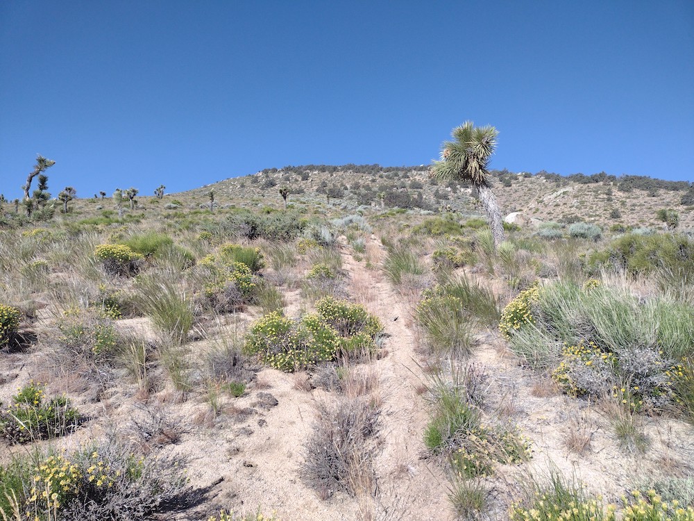
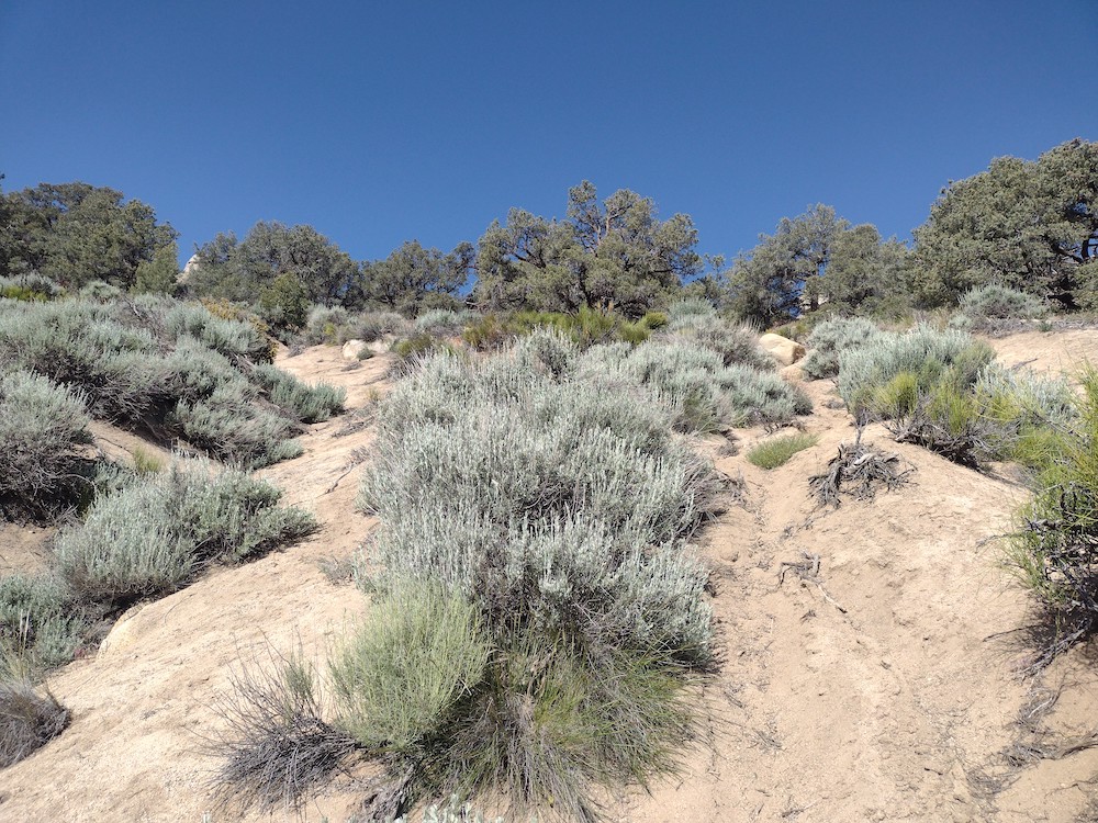
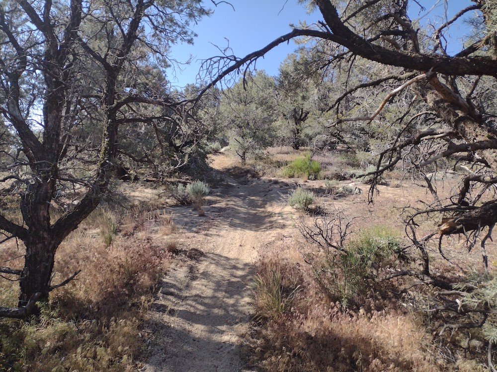
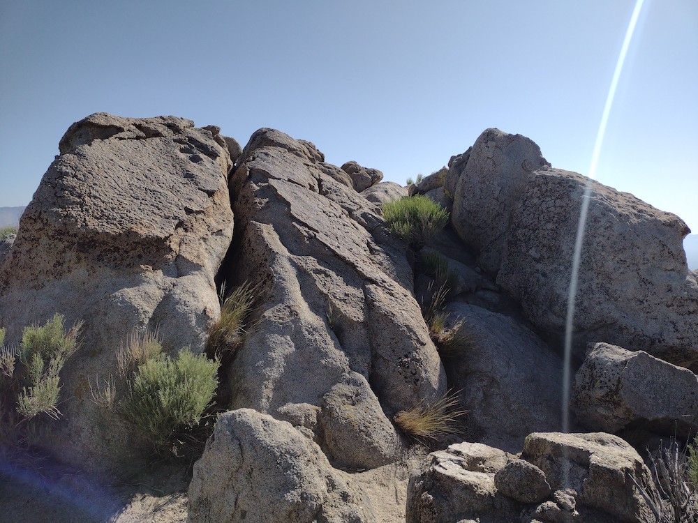
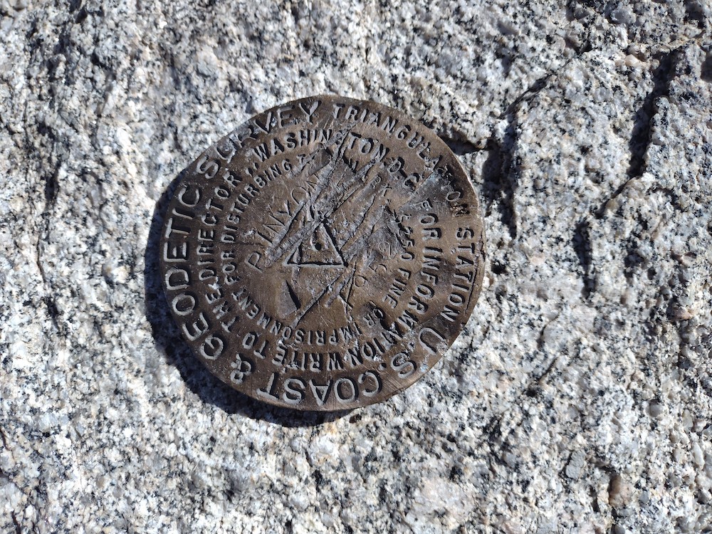
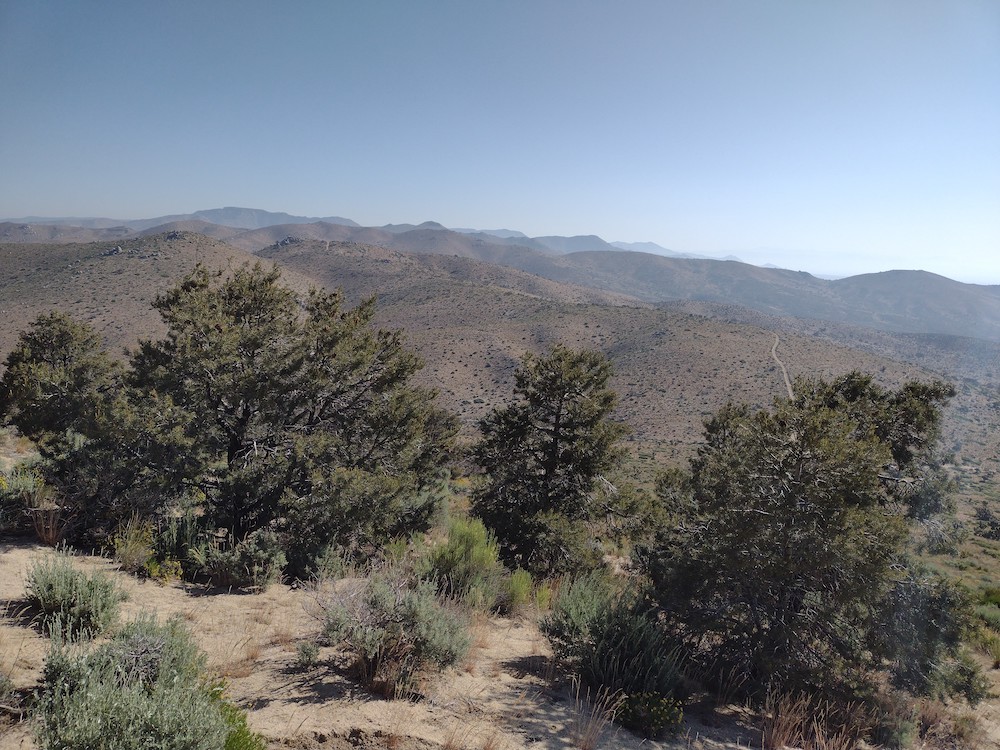
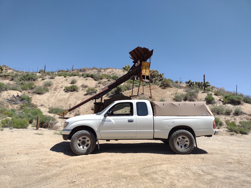
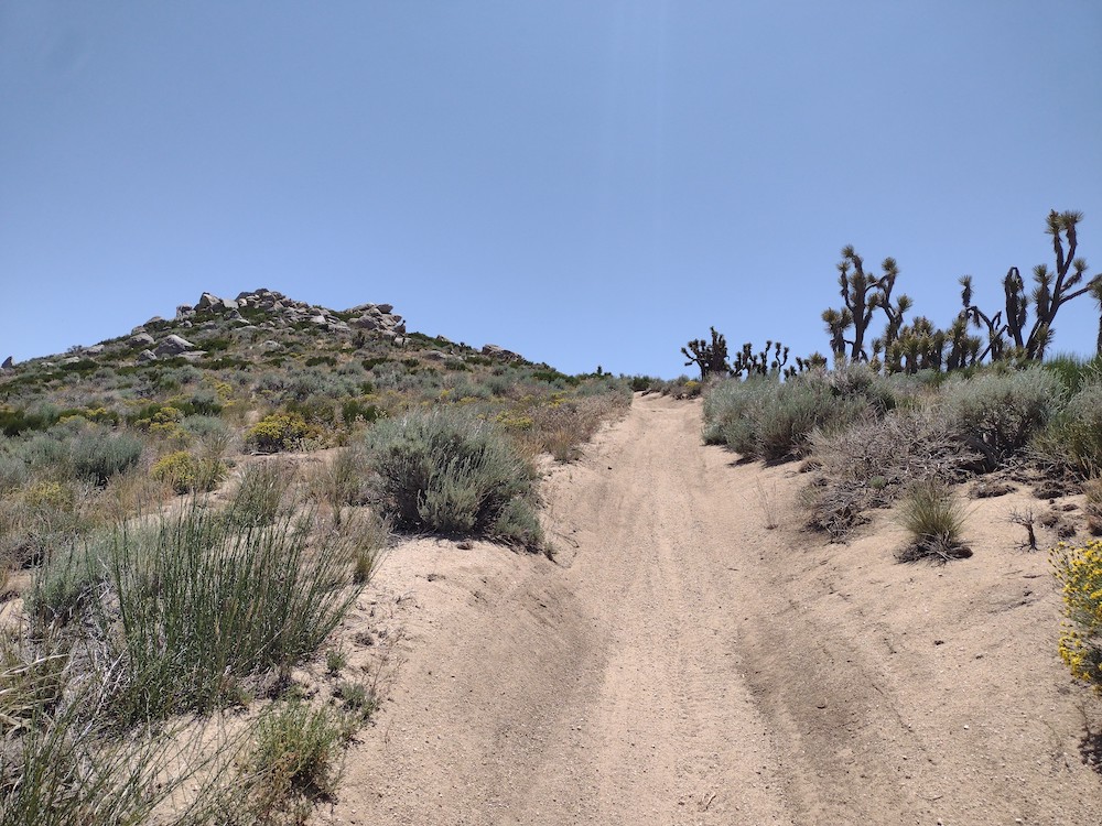
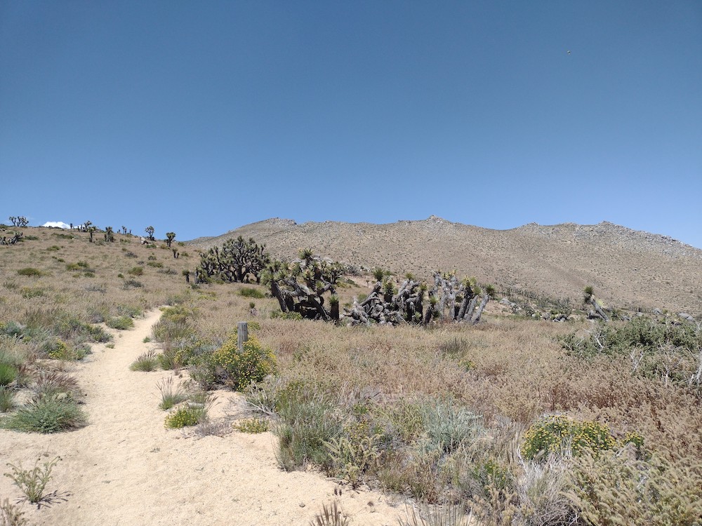
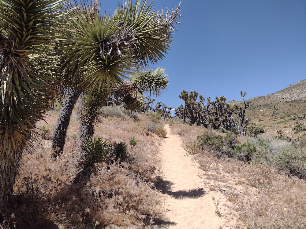
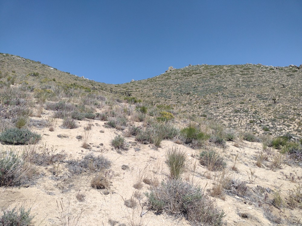
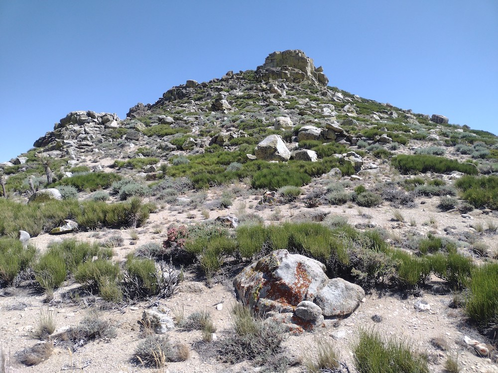
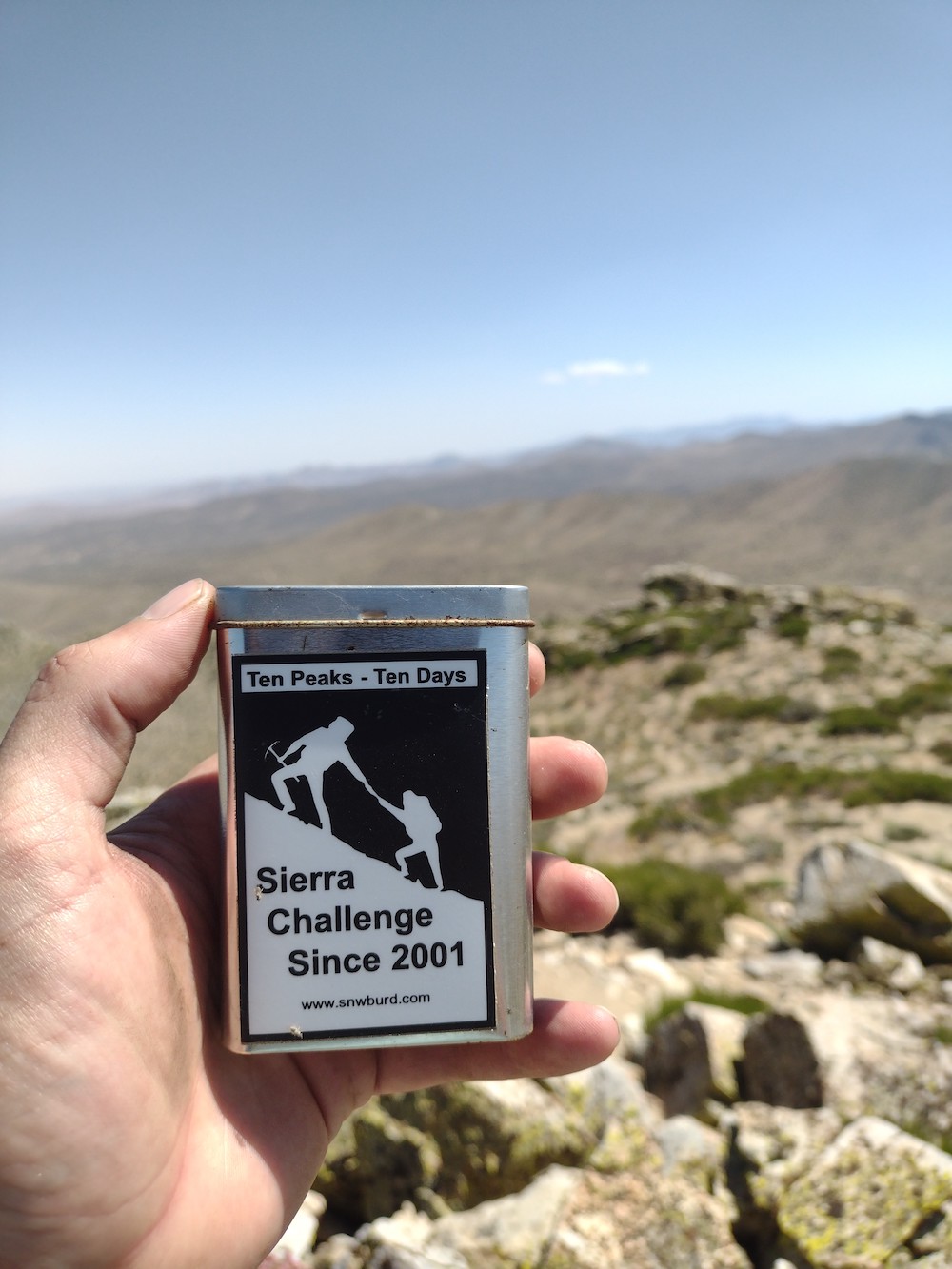
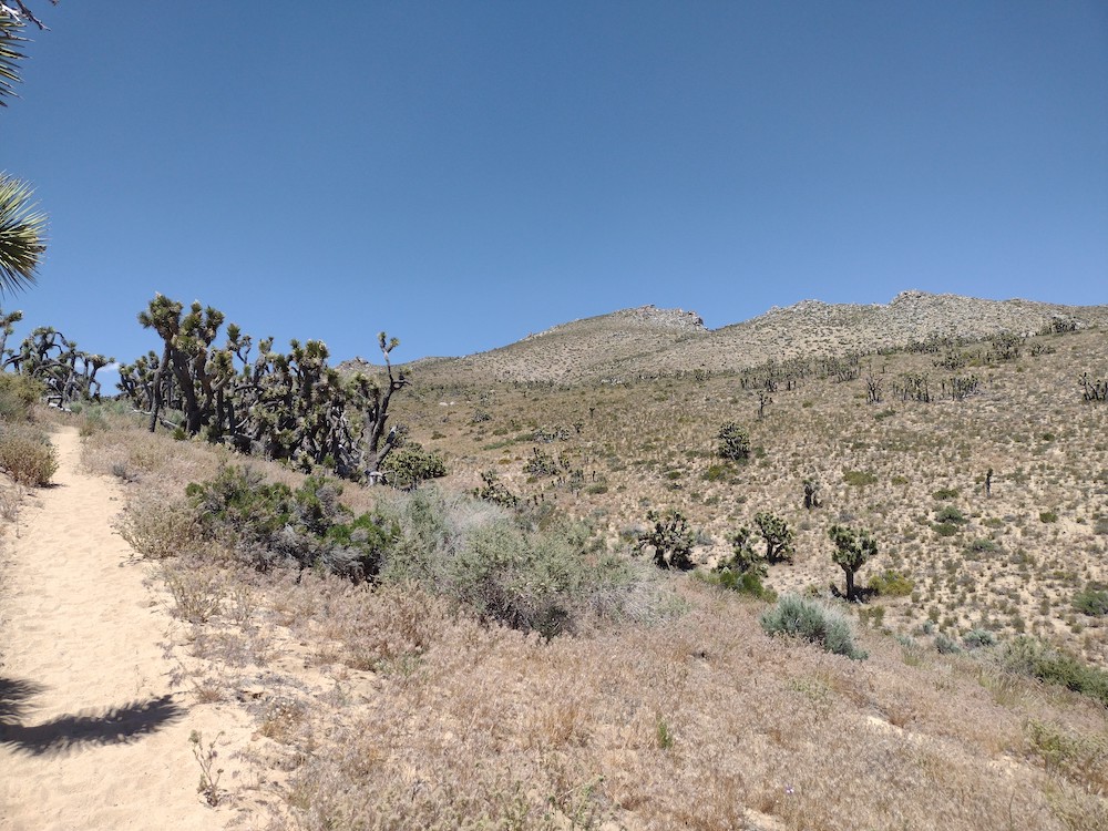
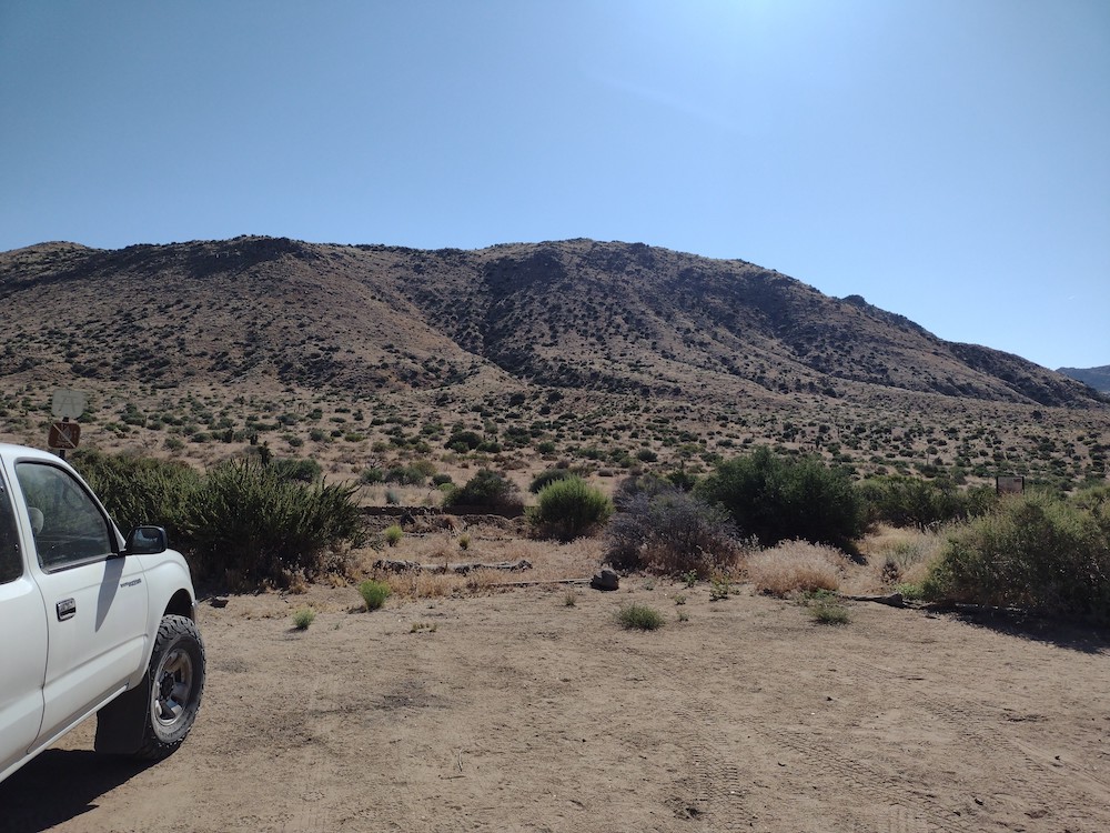
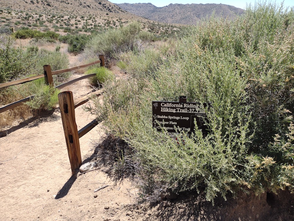
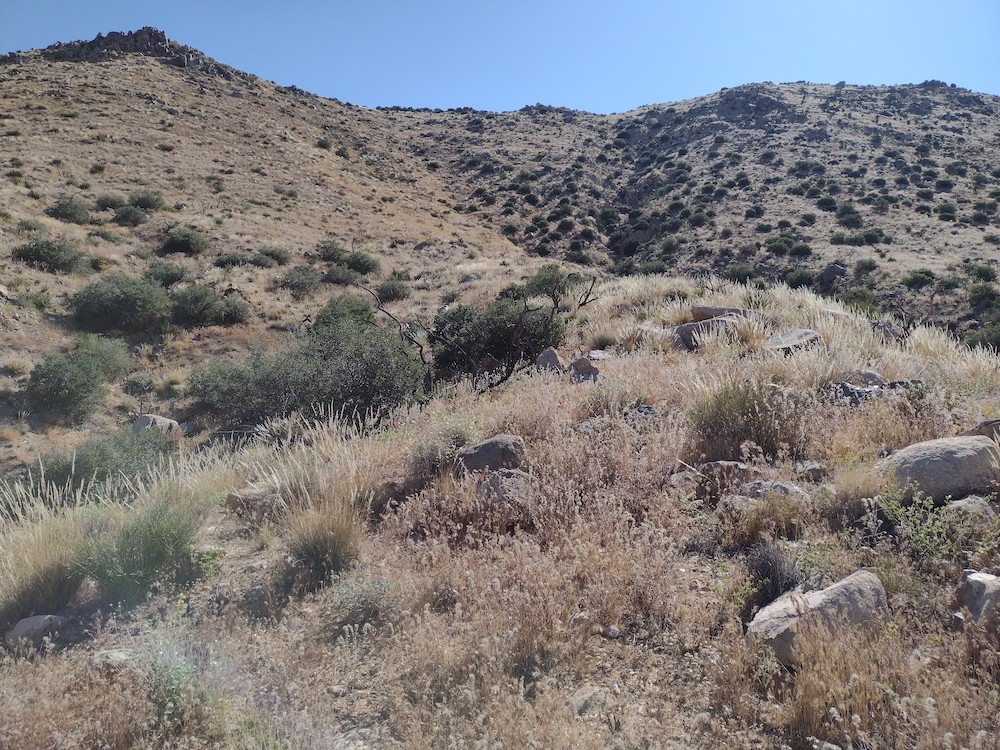
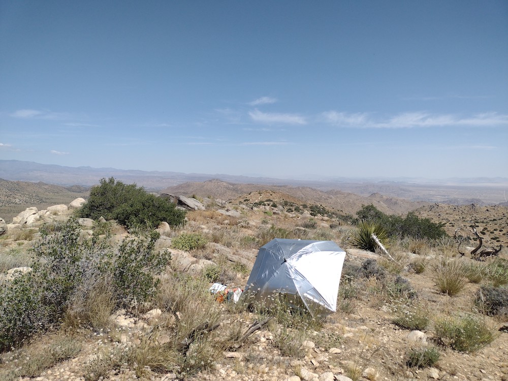
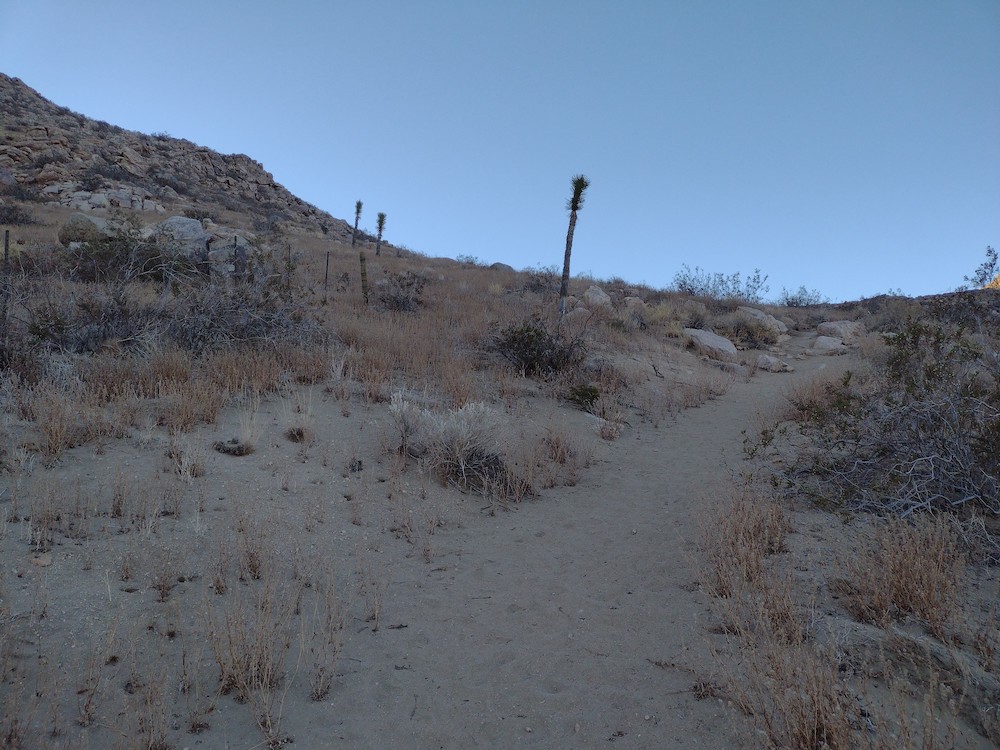
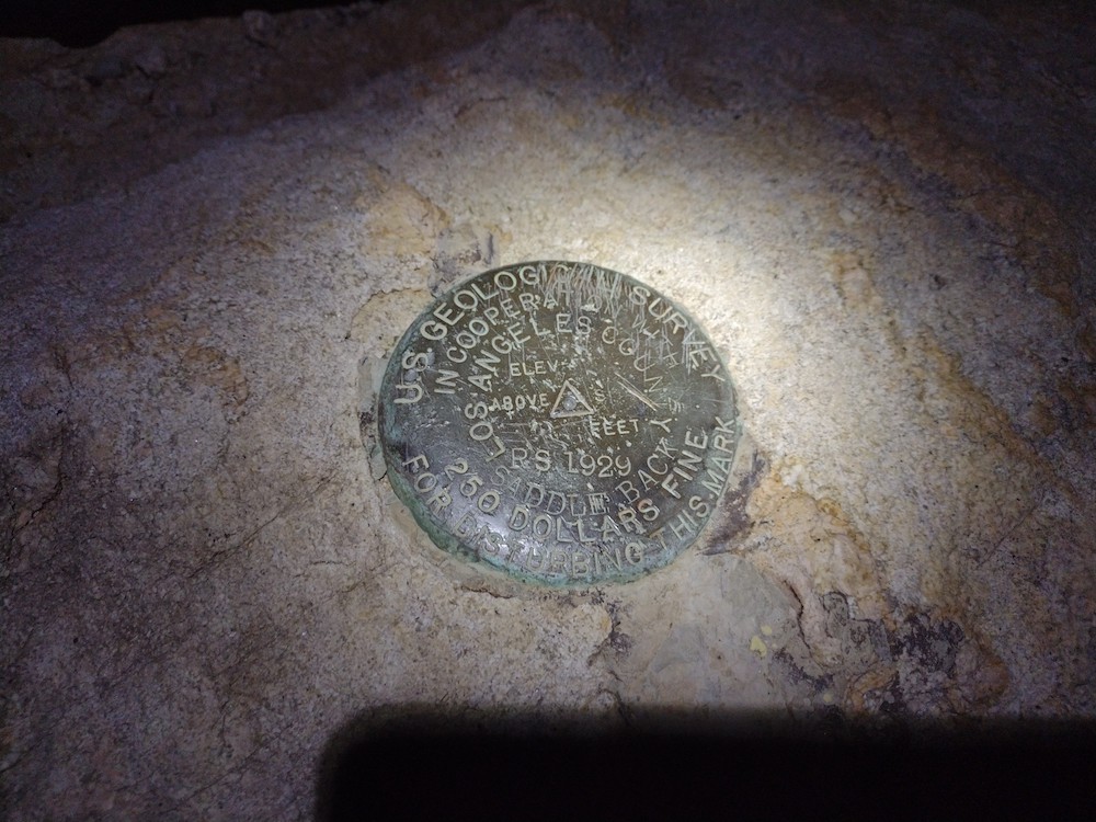
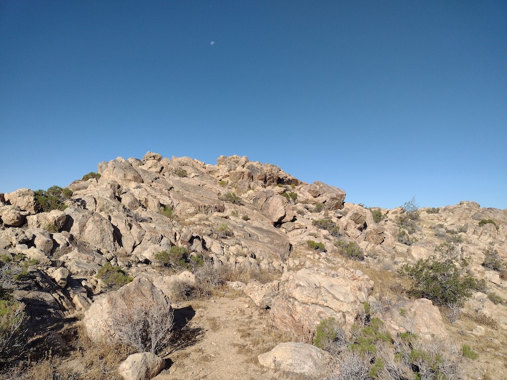
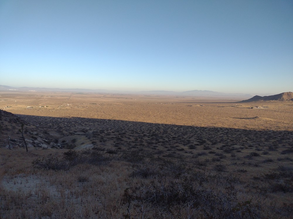
This was my first summit of the day in a series of three. The day before I activated Butterbredt Peak to the south and camped at what might be my new favorite spot. Unfortunately the overnight wind was relentless and I got cold, so I didn’t get a good nights sleep. For the activation, I parked the truck near Dove Springs Canyon Road, and followed a moto trail to the top, where a several pinyon pines and some nice rocks lay. I found a summit register overflowing and signed mostly by moto riders upset about loosing land to ride dirt bikes on. I did notice several fences cut in the area so perhaps they are not allowed up there. There was also a benchmark which someone tried to pry off; I’m glad it’s still there. Worked all bands, then headed back to the truck to visit another summit.

https://sotl.as/summits/W6/SS-414

Total distance: 1.56 mi
Max elevation: 6181 ft
Total climbing: 964 ft
Total time: 02:26:11
Download file: W6_SS_414.gpx

Date:02/06/2023 |  Summit:W6/SS-414 (Pinyon Mountain) 

TimeCallsignBandModeNotes
16:06K6YK7MHzCWS55N R55N
16:11WU7H7MHzCWS33N R52N
16:12W6TDX7MHzCWS559 R559
16:13W6ZKH7MHzCWS57N R45N
16:15W5YA7MHzCWS31N R22N
16:17K6STR7MHzCWS57N R55N
16:17NT6E7MHzCWS57N R53N
16:18W6LOR7MHzCWS57N R55N
16:19WB6POT7MHzCWS55N R57N
16:21AD6VT7MHzCWS55N R599
16:22K6TUY7MHzCWS58N R58N
16:29W1NV10MHzCWS53N R55N
16:31N6AN10MHzCWS33N R54N
16:32N0IPA10MHzCWS33B R43N
16:33N6PKT10MHzCWS45N R52N
16:34N7EDK10MHzCWS42N R53N
16:37KD7LX10MHzCWS52N R33N
16:49K7GT14MHzCWS57N R56N
16:49K7GUD14MHzCWS55N R53N
16:51WW7D14MHzCWS33N R53N
16:52W0ERI14MHzCWS55N R55N
16:53NW7E14MHzCWS55N R55N
16:53W0MNA14MHzCWS55N R55N
16:55VA7JYF14MHzCWS55N R5NN

W6/SS-425 – 5924 

Second summit of the day, an easy hike from the truck trail I was traveling down. I parked near an old mining operation, crossed the PCT and followed a wide moto trail to the summit. No more than 1/2 mile round trip. Rocky, plenty of space to stretch out an antenna. Had good luck on all three bands, several S2S.

https://sotl.as/summits/W6/SS-425

Excuse the sideways video, perhaps the heat was cooking my brain?

Total distance: 0.59 mi
Max elevation: 5799 ft
Total climbing: 84 ft
Total time: 01:37:50
Download file: W6_SS_425.gpx

Date:02/06/2023 |  Summit:W6/SS-425 (5924) |  Callsign:AG6N |  Points: 6 |  Bonus: 0 | 

TimeCallsignBandModeNotes
18:43NS0TA7MHzCWS33N R22N
18:45AA6XA7MHzCWS55N R57N
18:49NT6E7MHzCWS58N R53N
18:50K6HPX7MHzCWS58N R53N
18:51KN6OMN7MHzCWS58N R599
18:52NA6MG7MHzCWS58N R519
18:53WD7Y7MHzCW57N R58N
18:54KF7SP7MHzCWS55N R599
18:55W9SSN7MHzCWS57N R53N
19:08K6EL10MHzCWS33N R559
19:12WW7D10MHzCWS31N R52N
19:13KB9ENS10MHzCWS51N R599
19:15NG7V10MHzCWS52N R53N
19:16K1LB10MHzCWS55N R55N
19:28NU7P14MHzCWS57N R56N
19:28W0MNA14MHzCWS55N R55N
19:29W0ERI14MHzCWS55N R55N
19:30AK5SD14MHzCWS52N R51N
19:32N7EDK14MHzCWS51N R53N
19:33W5ODS14MHzCWS52N R43N
19:35KF9D14MHzCWS55N R33N
19:38WB7BWZ14MHzCWS55N R55N
19:38W6TDY14MHzCWS55N R55N

W6/SS-630 – 6244

This was my 3rd summit of the day. I parked my truck near the PCT and cooked some ground beef patties on my small gas grill in the shade before hiking up to the summit. Beautiful short hike along the PCT among stands of Joshua trees. I got as close as I could to the summit on the PCT before heading up through a small canyon. This probably wasn’t the best way as this route required hiking along a rocky ridge. At the top I setup my equipment and get to work on the bands. Worked 20, 30, 40M CW, no QSOs on 30M. Called out on 2M FM, and got one station out in Phelan, AC – that’s pretty far away! I found a summit register placed by Bob Burd which was mostly empty, I signed with my call and placed the register back. I hiked down a different, easier way. Back at the PCT temperatures dropped so many through hikers were back on the trail. Back at the truck, I packed everything up and headed back to Los Angeles. What a great weekend out in the desert!

https://sotl.as/summits/W6/SS-630

Total distance: 2.82 mi
Max elevation: 6145 ft
Total climbing: 1049 ft
Total time: 02:59:27
Download file: W6_SS_630.gpx

Date:02/06/2023 |  Summit:W6/SS-630 (6244) |  

TimeCallsignBandModeNotes
22:27W6DER7MHzCWS53N R41N
22:28K6QCB7MHzCWS55N R53N
22:29NT6E7MHzCWS57N R55N
22:31W7USA7MHzCWS56N R45N
22:32W6TDX7MHzCWS42N R43N
22:33K6CWC7MHzCWS41N R599
22:34W6JMP7MHzCWS57N R599
22:52KD7WPJ14MHzCWS33N R55N
22:55WB7BWZ14MHzCWS55N R53N
22:56WI5D14MHzCWS55N R55N
22:58AD0WB14MHzCWS51N R33N
23:00PY2VM14MHzCWS22N R57N
23:02K7IOC14MHzCWS55N R599
23:04PY2AE14MHzCWS31N R57N
23:15KG6USS144MHzFMS59 R59

W6/SD-044 – 5352

This summit is in Joshua Tree National Park, so it qualifies for POTA in addition to SOTA if you’re into that kinda thing. I woke up early in the morning and headed out to JTNP to try and beat the heat of summer. While this hike isn’t very long, the wet winter was kind to various plants which were eager to seed. Of course, these seeds are scratchy and pokey, and moving through this knee high stuff was enough to cover my shoes and socks. Writing this blog post out two months later, I think those socks still have seeds stuck in them from this trip. Anyways, at the top was a nice flat area to setup an antenna and relax while operating. Worked 40M, 30M, and 20M CW before heading down. An easy, fun summit to bag, in an interesting area of JTNP.

https://sotl.as/summits/W6/SD-044

Total distance: 1.58 mi
Max elevation: 5370 ft
Total climbing: 796 ft
Total time: 02:32:53
Download file: w6:SD-044.gpx

Date:15/06/2023 |  Summit:W6/SD-044 (5352) | 

TimeCallsignBandModeNotes
16:45WB6POT7MHzCWS57N R57N
16:46NT6E7MHzCWS58N R55N
16:47NG6R7MHzCWS58N R57N
16:48KF6HI7MHzCWS57N R57N
16:49WU7H7MHzCWS57N R32N
16:51K7GUD7MHzCWS33N R51N
16:51KR7RK7MHzCWS55N R55N
17:00WW7D10MHzCWS52N R43N
17:02N0DNF10MHzCWS51N R22N
17:03N6PKT10MHzCWS51N R52N
17:04K6EL10MHzCWS51N R55N
17:13KE5AKL14MHzCW

Saddleback Butte – W6/ND-308

This was a fun one for me. After hitting up a few easy summits with summer bonus points in the Crestline area, I kinda wanted to camp before heading home to Los Angeles. Saddleback Butte caught my eye because there are camping facilities right by the trailhead – the idea was to head up to the summit just after dusk and activate, come back to camp, sleep, then head home in the morning. The hike up was easy, sandy in some parts and calm with a slight breeze. It took about an hour to get to the top, where I was greeted with extremely high winds, so high my antenna mast broke at the fattest, bottom piece. It was impossible to get any kind wire up in the air. I ended up with my 20M wire segment blowing like a flag over a ledge. After calling for about 20 minutes on CW, which I knew wouldn’t work at this hour – I gave up, packed my battered equipment down and went back to camp. I didn’t sleep well because the campground is situated near a busy road; trucks and motorcycles kept me awake. At first light, I headed back up to the summit where is was much calmer than the night before. I worked 20, 30, 40M CW. After I exhausted all the chasers I headed back to camp before the summer desert heat took hold. I’d do this one again, but I’m not sure I’d camp there again.

https://sotl.as/summits/W6/ND-308

Total distance: 4.23 mi
Max elevation: 3644 ft
Total climbing: 1054 ft
Total time: 02:34:10
Download file: W5_ND_308_skunked_.gpx

13:55K2JB14MHzCWS44N R33N
14:02N0RZ14MHzCWS57N R55N
14:04WN4AT14MHzCWS51N R33N
14:06W4GO14MHzCWS33N R55N
14:11W5ODS14MHzCWS57N R55N
14:13W8EO14MHzCWS35N R55N
14:18AK5SD14MHzCWS52N R51N
14:29K7MK10MHzCWS57N R55N
14:31K6HPX10MHzCWS44N R51N
14:31N7CNS10MHzCWS45N R44N
14:32K9OZ10MHzCWS51N R55N
14:34N0DNF10MHzCWS51N R22N
14:44WG0AT7MHzCWS32N R55N
14:45K6YK7MHzCWS33N R33N
14:48WW7D7MHzCWS33N R53N