
Monthly Archives: March 2019
Solid State Logic Duality – Decommissioning
Griffith Park – Light up 2M day
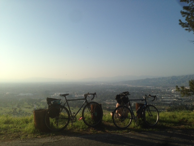
GPS data collected from a Yaesu FT2D HT. Data output is NMEA? Parsed in Google Earth, then Garmin Base Camp.
Total distance: 22.89 mi
Total climbing: 2925 ft
Download file: bikeride.GPX
Total climbing: 2925 ft
Waypoints marked via RF APRS.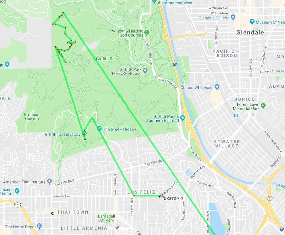
2M QSO with Summit W6/CT-242
Check logbook for other QSOs on this postings date.
Sailing tracks
10 knots, gusting to 18 knots
Total distance: 16.64 mi
Total climbing: 926 ft
Download file: 20190323.gpx
Total climbing: 926 ft