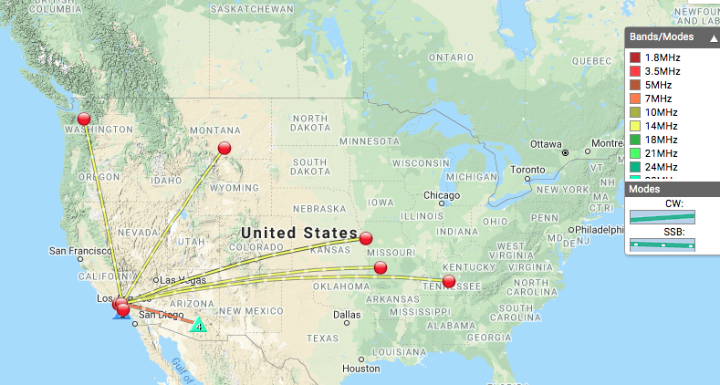
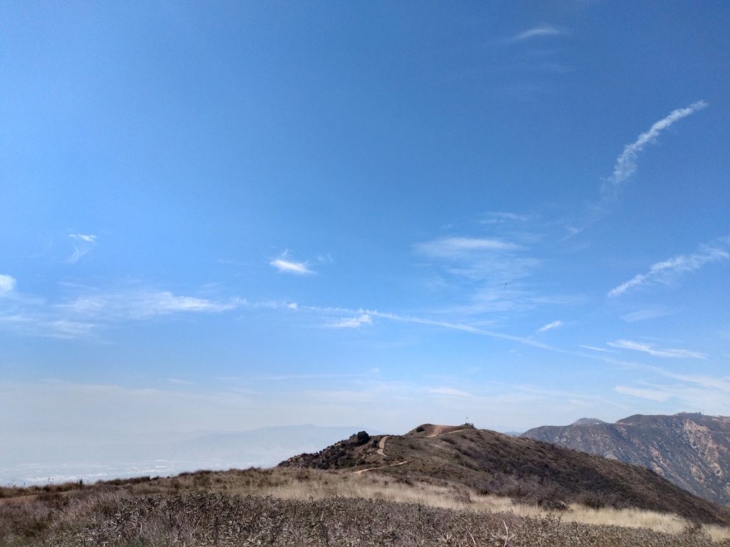
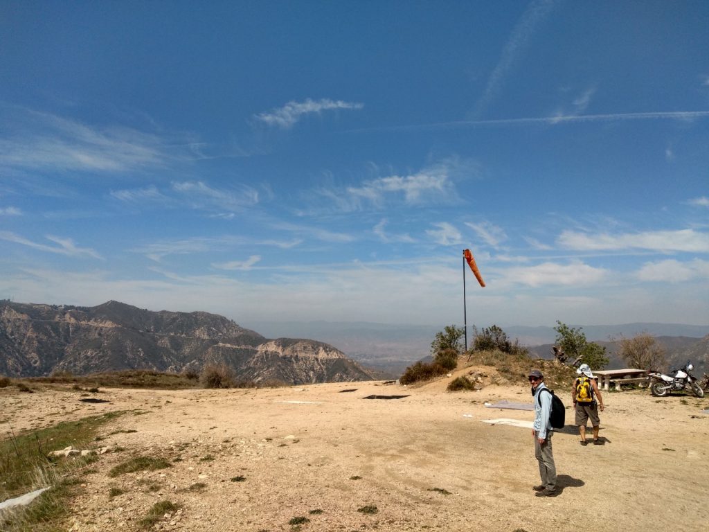
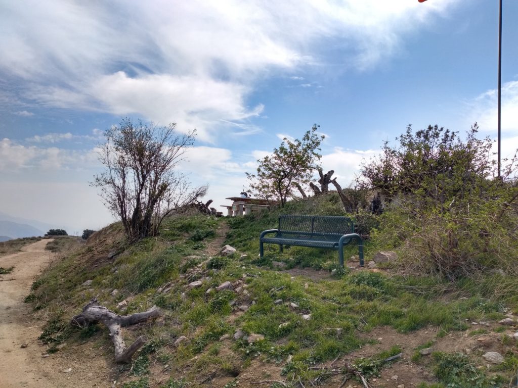
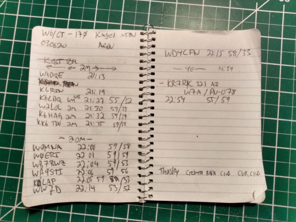
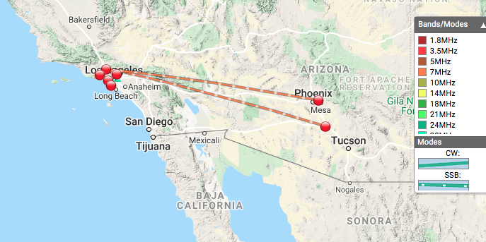
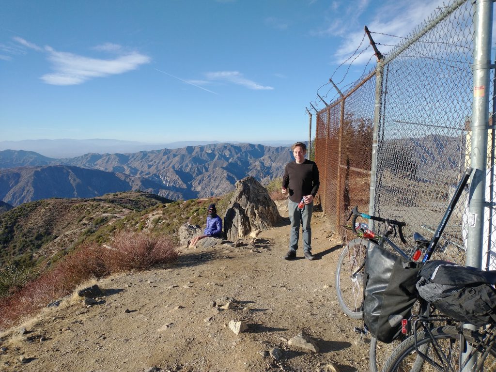
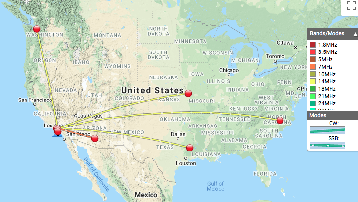
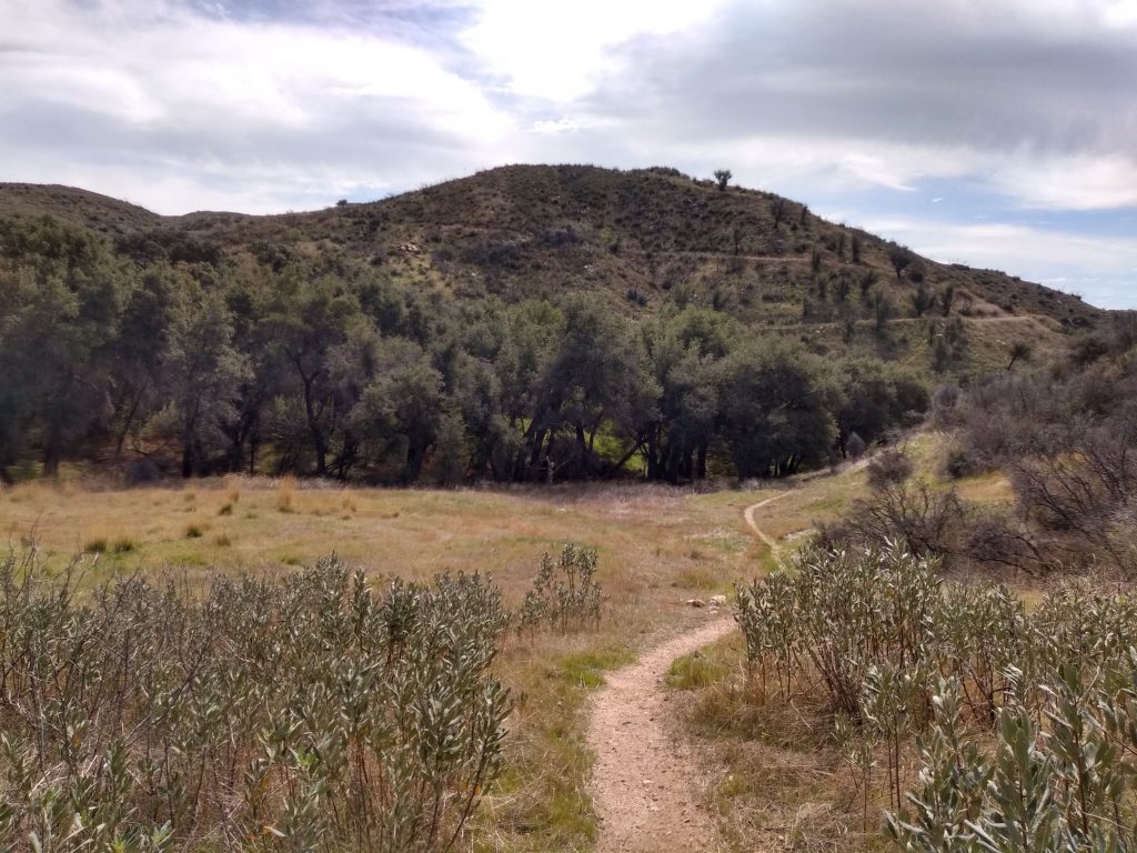
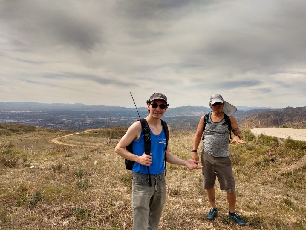
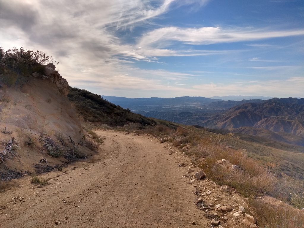
This was a pretty easy hike, I wouldn’t do it in the middle of summer as there is little shade on the fire road going up. The top is used as a hang glider port; there is a picnic table and a bench to setup radios on which is nice. Summit to summit QSO with KR7RK in Arizona on 40M.
Up until this summit I may have been logging my QSOs wrong. After 00:00 UTC, the activation starts over and chasers can claim additional points with another QSO.
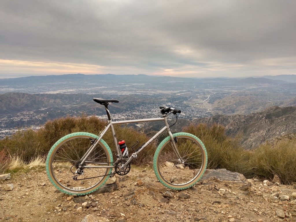
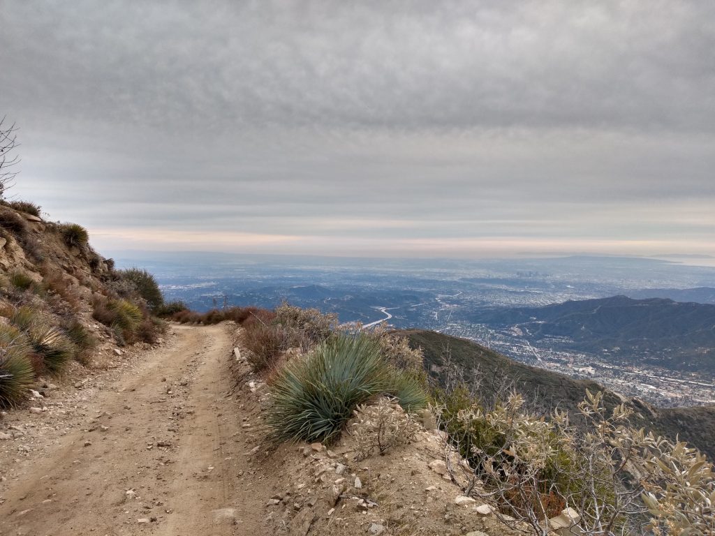
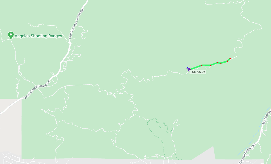
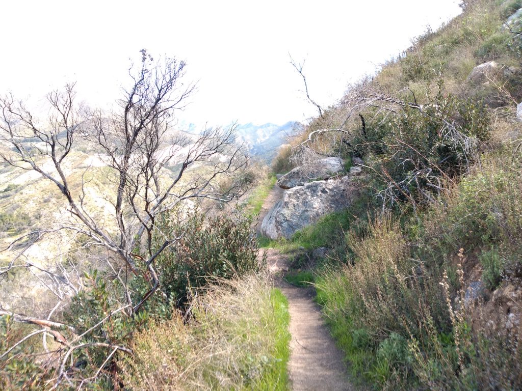
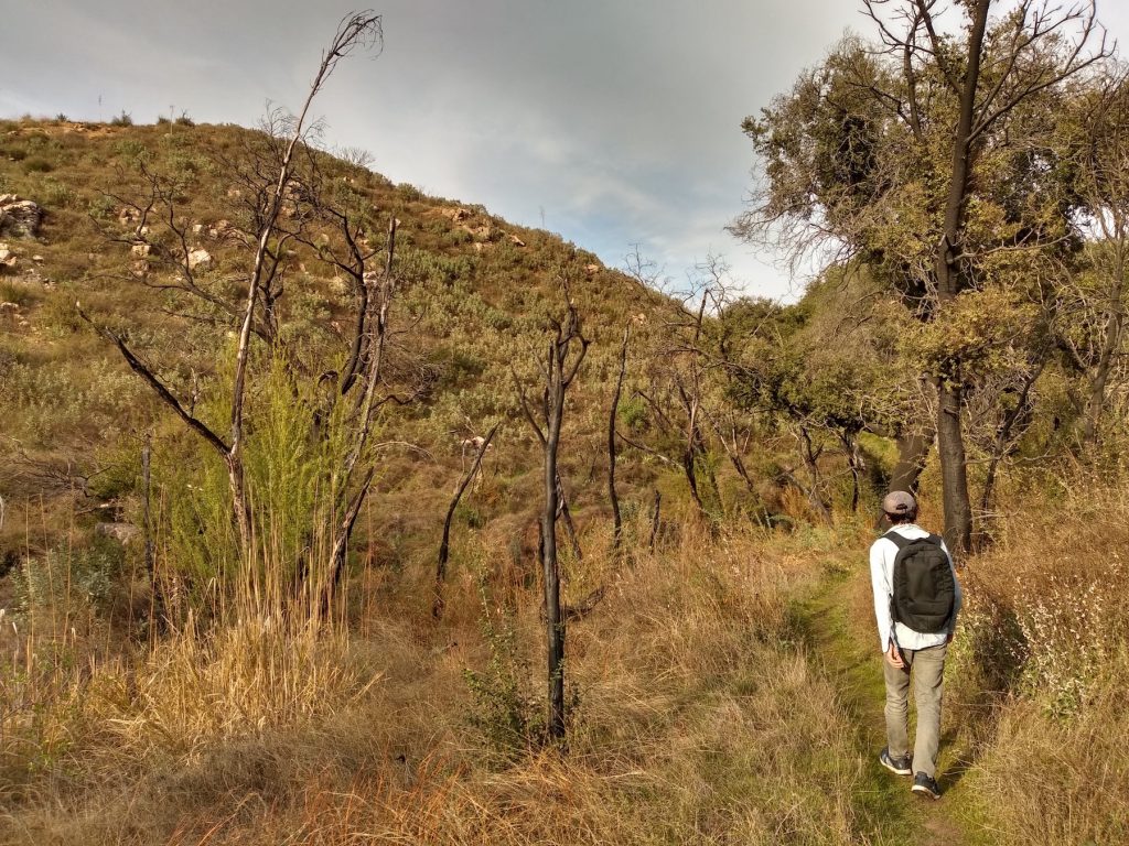
Mount Lukens is the highest point in the city of Los Angeles. I started the bike ride up at Grizzly Flats trailhead off Hwy 2. At the fork in the fire road, stay left. (Going right brings you to Hoyt Mountain). The fire road narrows, eventually turning into a single track. This leads up to the main road up to the summit.
(Update 05-09-2022 – a server migration, plugin and php update revealed the timestamps on this .gpx file are broken. I’ve added fake times so this page renders correctly)
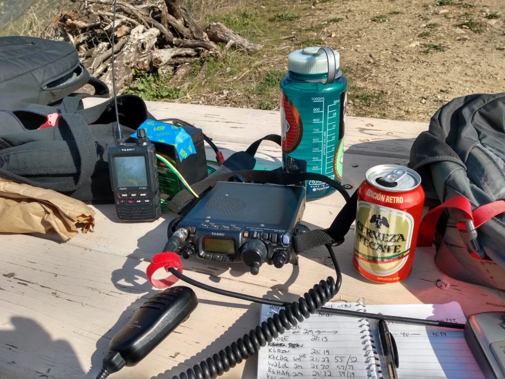
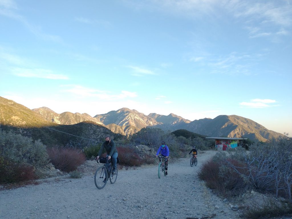
UPDATE! First activation of 2021, 2nd activation of Lukens – Biked up Lukens the same way as I had done last year, via Grizzly Flats. This is a super fun ride. Kel, eBun, and Tim rode up with me for this quick activation. I foolishly didn’t bring my HT, so I couldn’t self spot. No cellphone service. There was also high wind, so I just worked 2M FM as I didn’t want to struggle with the HF antenna. RF is extremely high on the summit, which causes the radio to struggle.
Date:09/01/2021 | Summit:W6/CT-030 (Mount Lukens)
Time
Callsign
Band
Mode
Notes
22:53
WA6QXA
144MHz
FM
22:54
KN6CJK
144MHz
FM
22:55
KB6YBV
144MHz
FM
22:58
KN6GPF
144MHz
FM
22:59
KN6ZEA
144MHz
FM
Roger
23:00
KI6SLA
144MHz
FM
23:01
WB2WIK
144MHz
FM
23:02
KN6KOR
144MHz
FM
23:03
K6GKA
144MHz
FM
23:04
KN6DMO
144MHz
FM
23:04
WA6WV
144MHz
FM
23:05
K6PVZ
144MHz
FM
Paul
23:05
N6MKW
144MHz
FM
23:06
KI6RF
144MHz
FM
23:08
KE6PLA
144MHz
FM
23:09
KM6UHU
144MHz
FM
23:10
KM6EHD
144MHz
FM
23:10
K6MAA
144MHz
FM
23:11
KM6PRD
144MHz
FM
23:12
W9SSN
144MHz
FM
23:12
N6DAI
144MHz
FM
23:13
KN6JRN
144MHz
FM
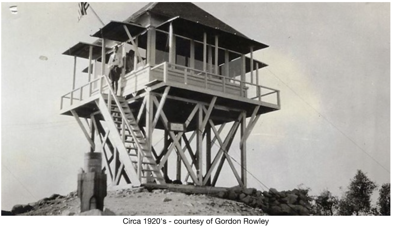
Edit – December 5th, 2022. There was a fire lookout tower on Lukens, the info below was taken from firetower.org without permission of any kind.
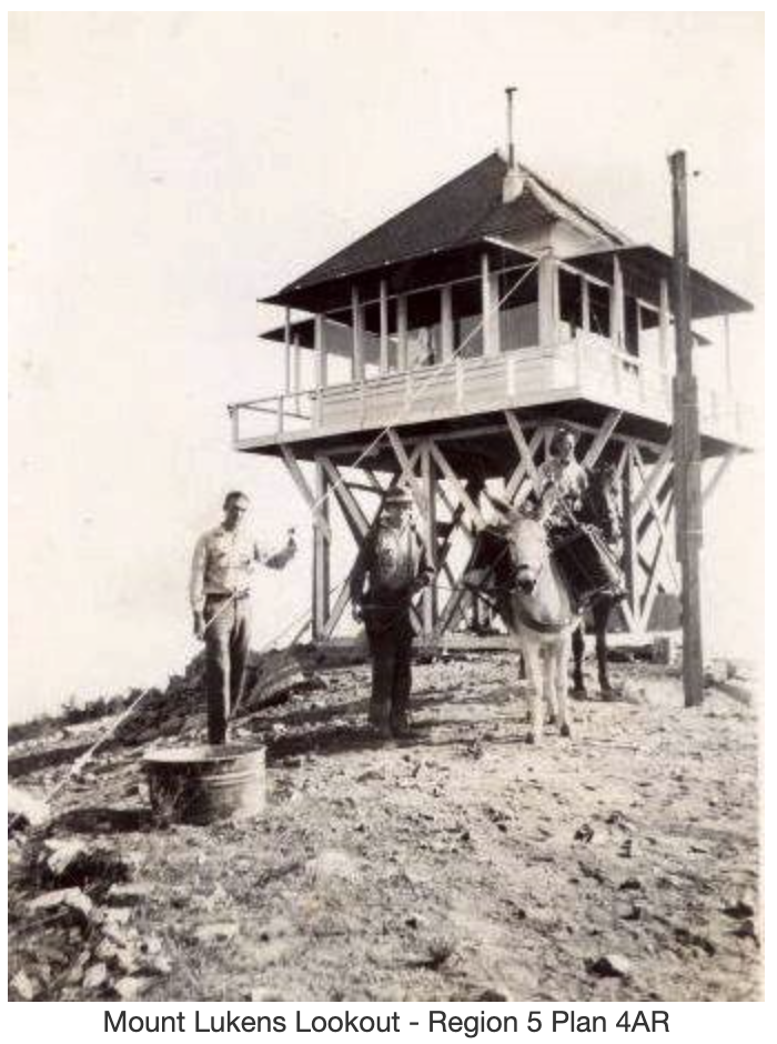
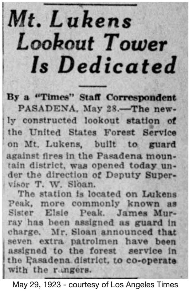
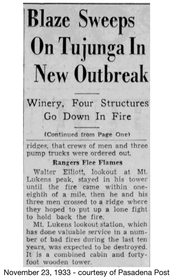
The original Mount Lukens structure was built in 1922 and burned in a wildfire in late 1933. The structure was replaced in some time after that with a California Region 5 Plan 4AR on a 10 foot open timber tower.
Reports suggest the lookout structure was dismantled and moved to Josephine Peak in 1935. San Rafael Lookout opened in 1934 and covered much of the same area. Photos of the Josephine Peak Lookout suggest a new structure was built there and the Mount Lukens structure was not used.