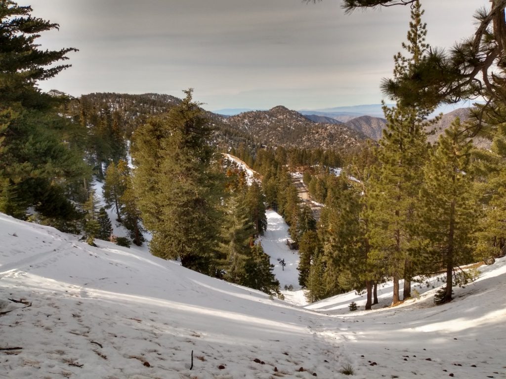
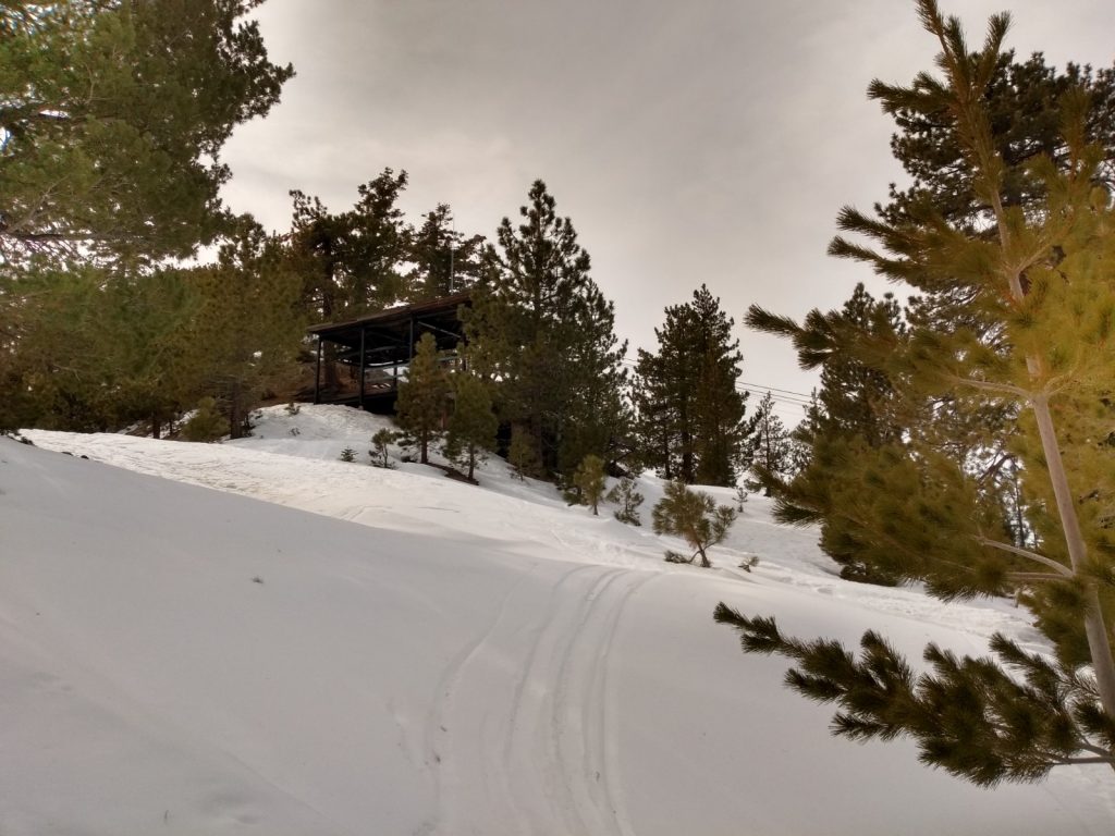
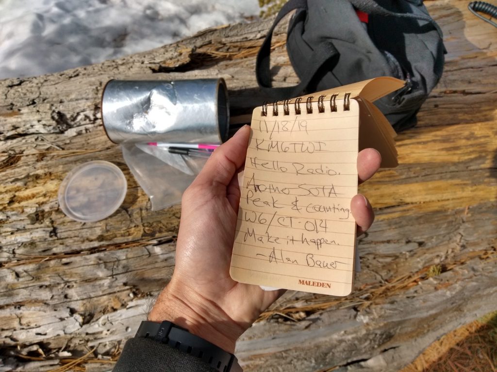
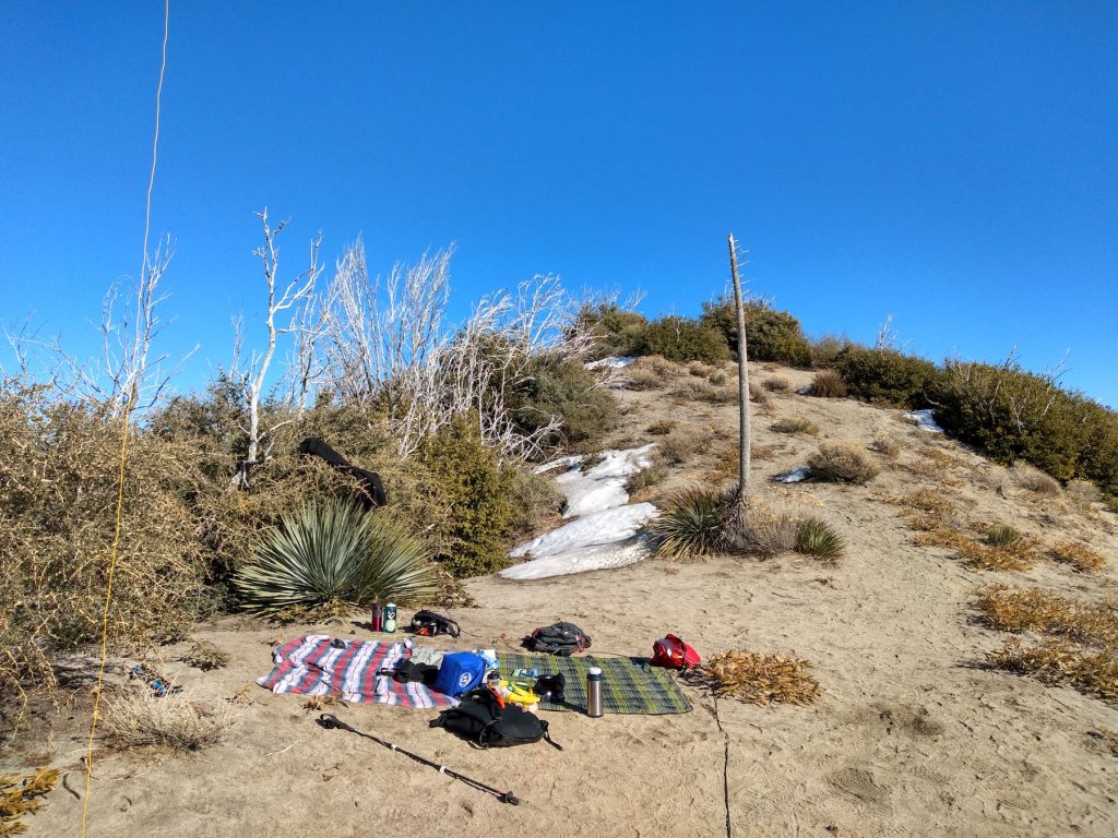
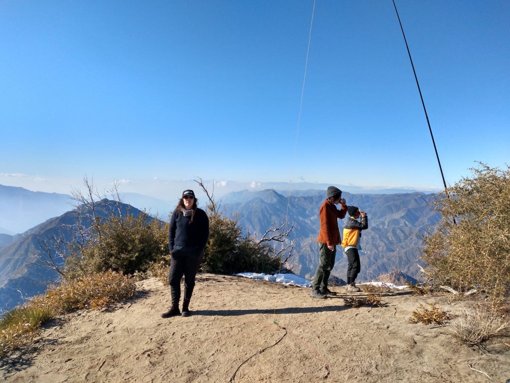
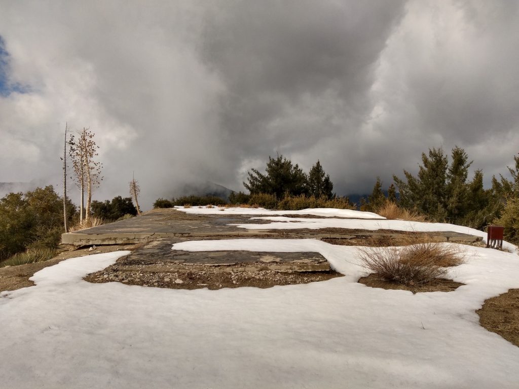
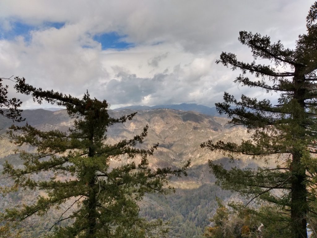
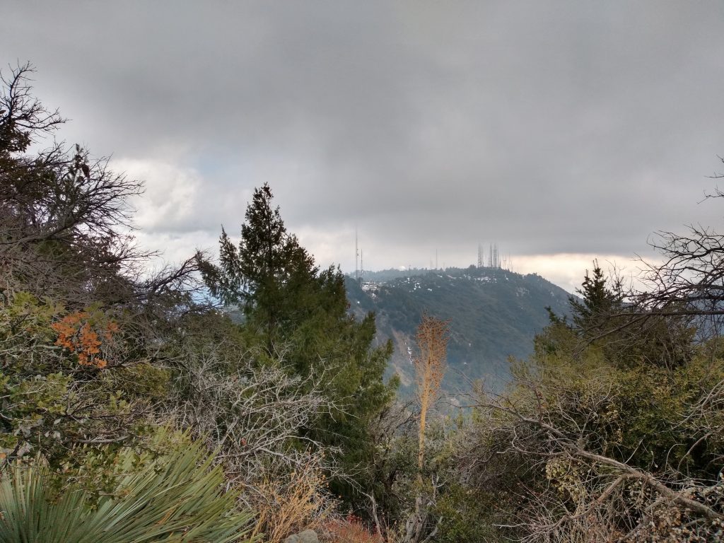
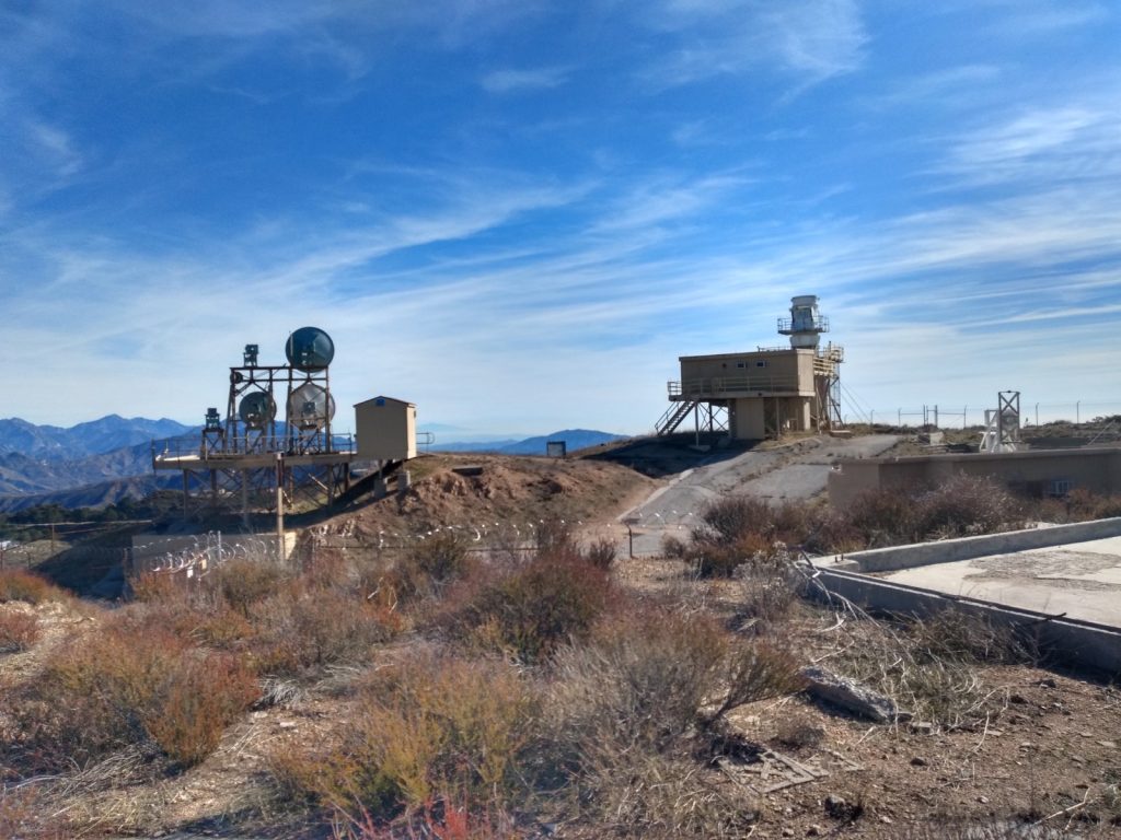
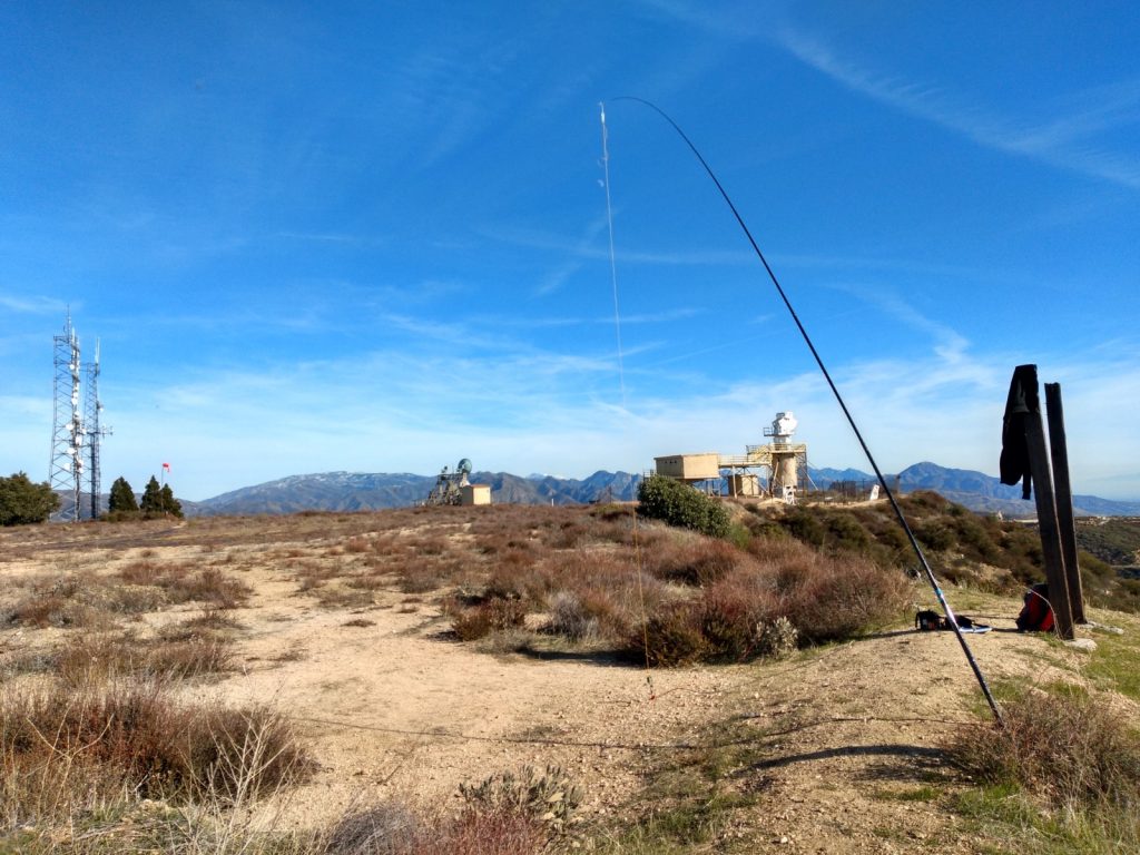
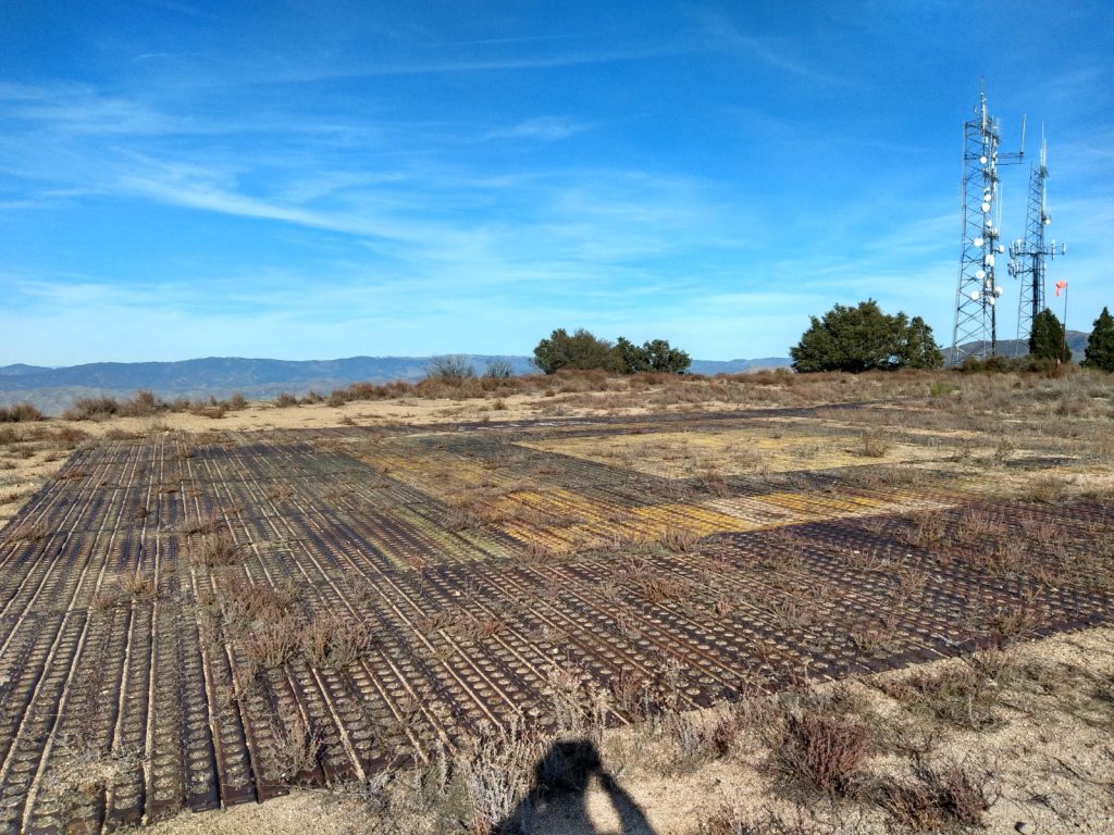
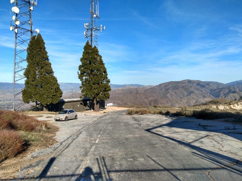
Deep snow made hiking up difficult. I took a different way down which was much easier. I now know what show shoes are for. Tracks below is round trip; I got a tip on what could be a better way up. Made my first SOTA contact on 6M. Met SOTA Hal in person at the end of my activation.
https://sotl.as/summits/W6/CT-014
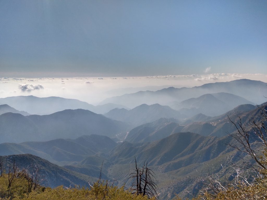
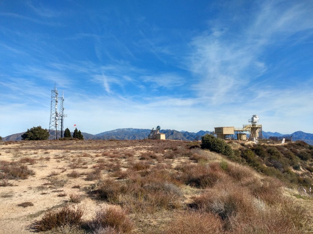
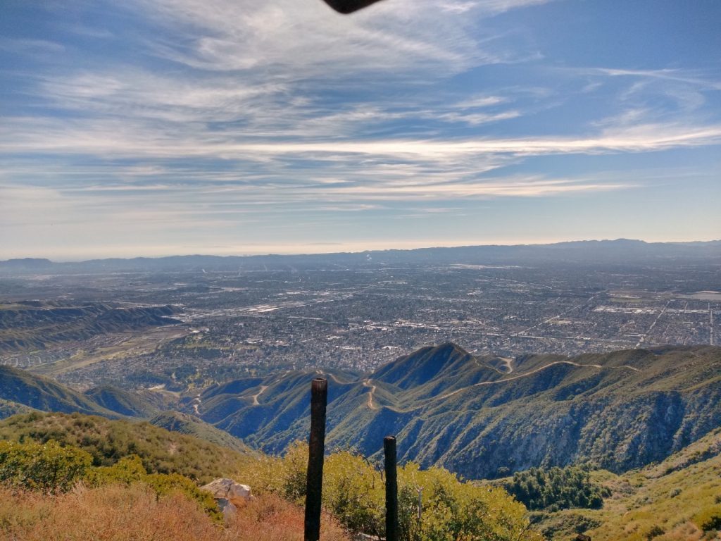
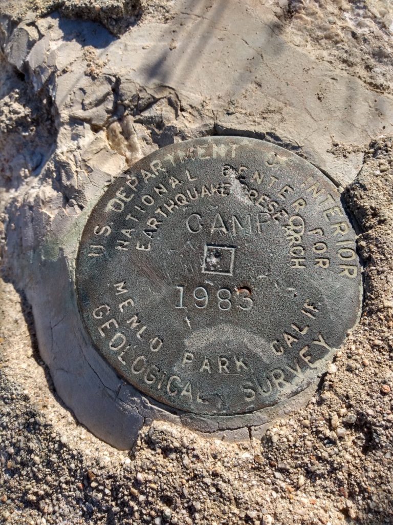
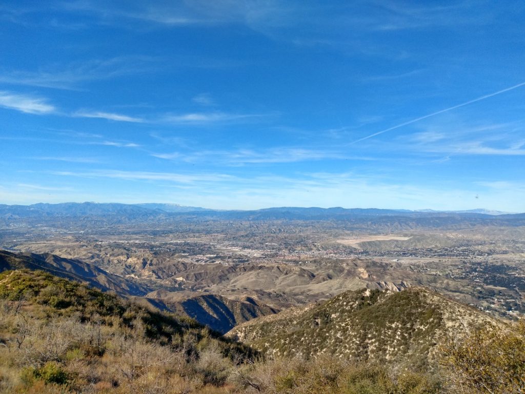
Date:24/Jan/2020 Summit:W6/CT-014 (Kratka Ridge)
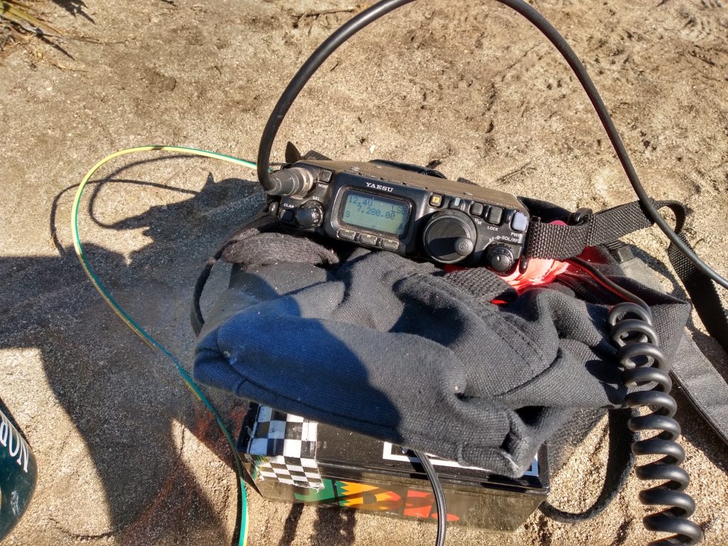
| Time | Call | Band | Mode | Notes |
|---|---|---|---|---|
| 21:46z | N6JZT | 144MHz | FM | |
| 21:52z | K6LDQ | 144MHz | FM | |
| 22:20z | KM6CEM | 144MHz | FM | |
| 22:23z | KM4HSD | 144MHz | FM | |
| 22:24z | K6YYL | 144MHz | FM | |
| 22:25z | NA6MG | 144MHz | FM | |
| 22:26z | K6QCB | 144MHz | FM | |
| 22:27z | KI6RF | 144MHz | FM | |
| 22:30z | KM6ZCU | 144MHz | FM | |
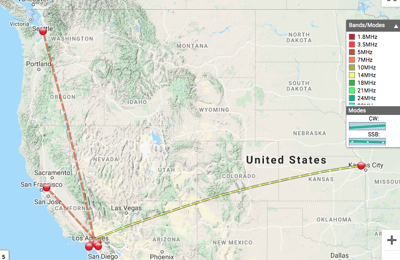
| 22:49z | K6YYL | 50MHz | FM | |
| 22:56z | K6YYL | 14MHz | SSB | |
| 22:59z | N6DXN | 14MHz | SSB | |
| 23:01z | W0MNA | 14MHz | SSB | |
| 23:03z | W0ERI | 14MHz | SSB | |
| 23:05z | KD6HDX | 14MHz | SSB | |
| 23:28z | N6DNM | 7MHz | SSB | |
| 23:29z | WU7H | 7MHz | SSB |
Total distance: 2.08 mi
Total climbing: 1239 ft
Download file: Kratka_Ridge.GPX
Total climbing: 1239 ft