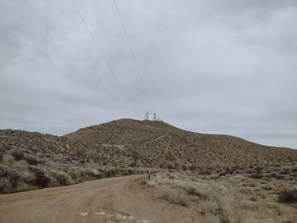
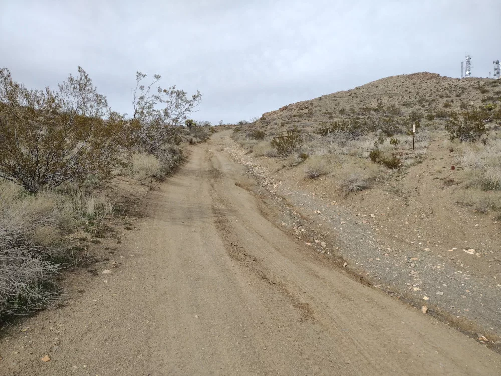
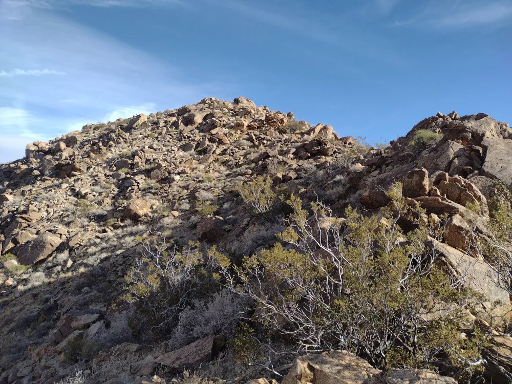
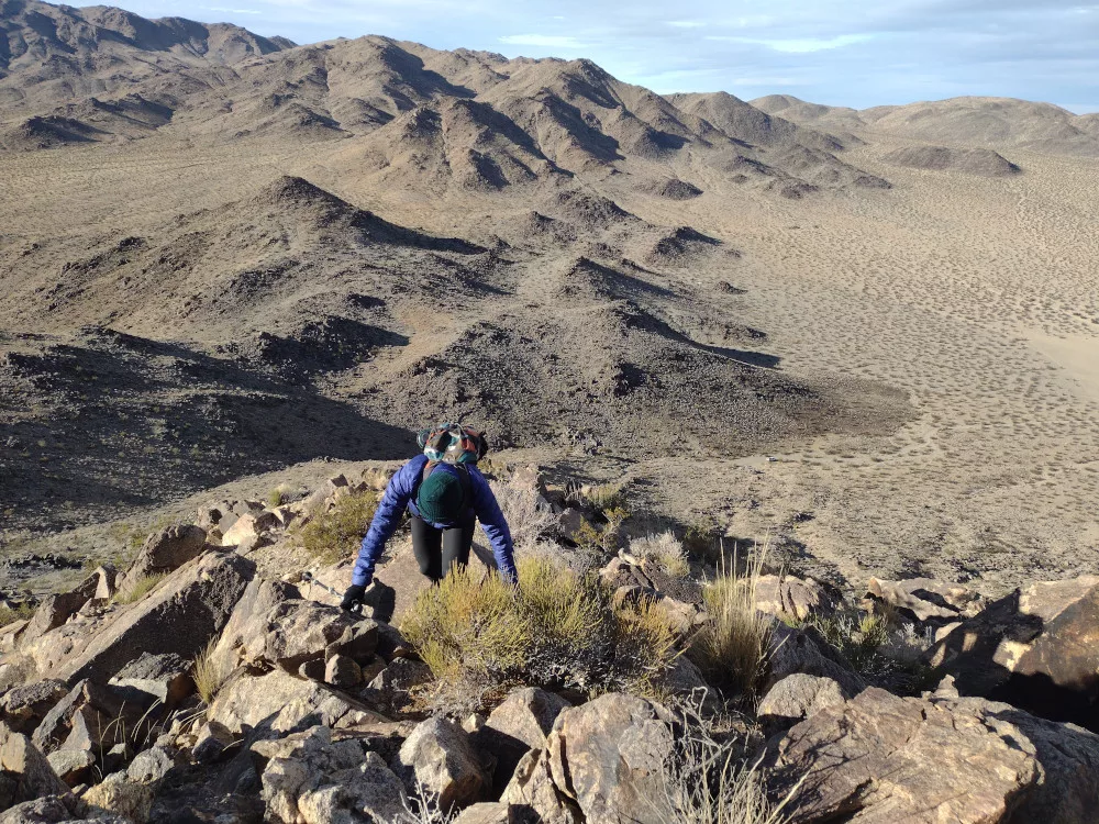
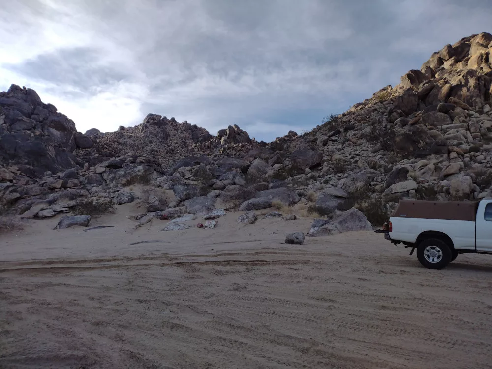
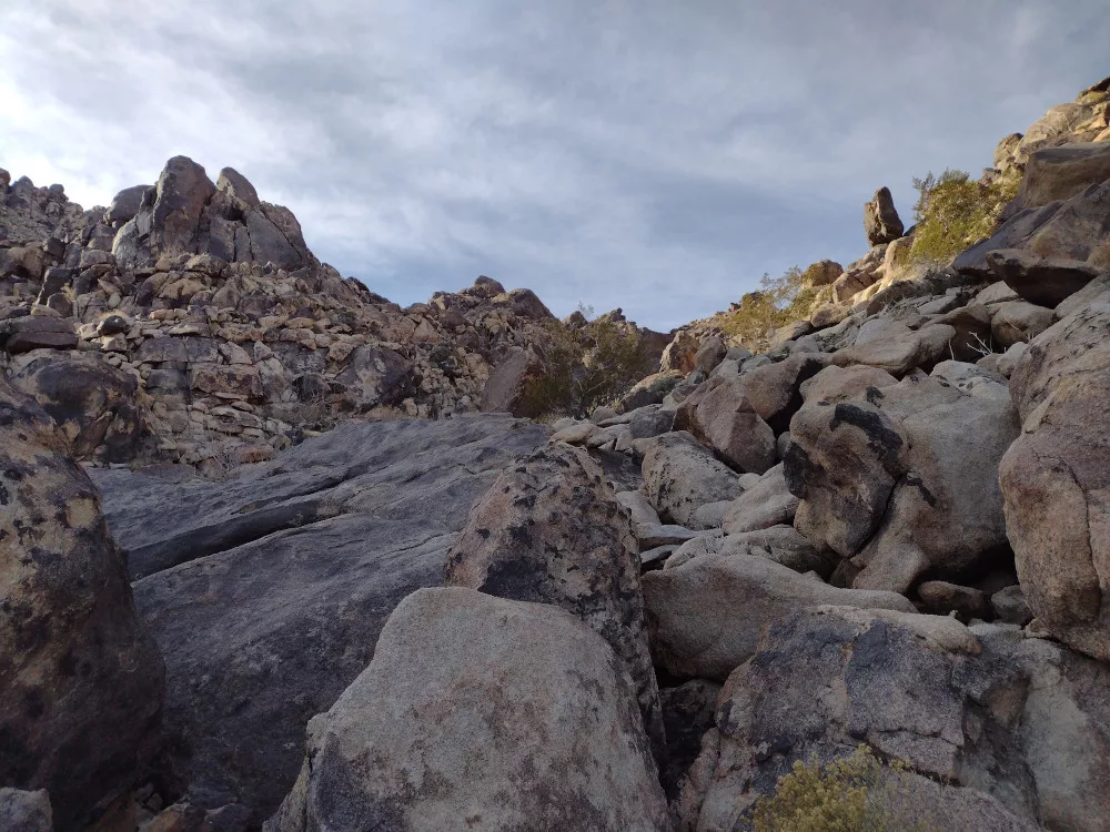
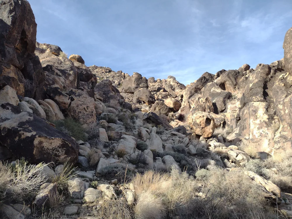
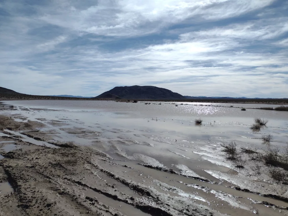
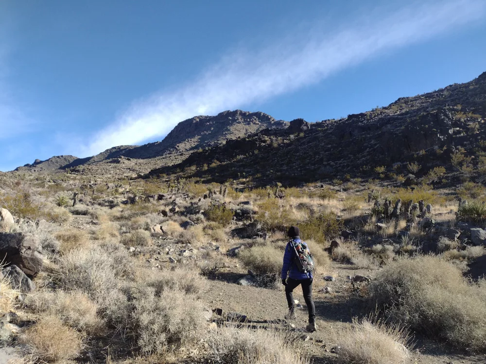
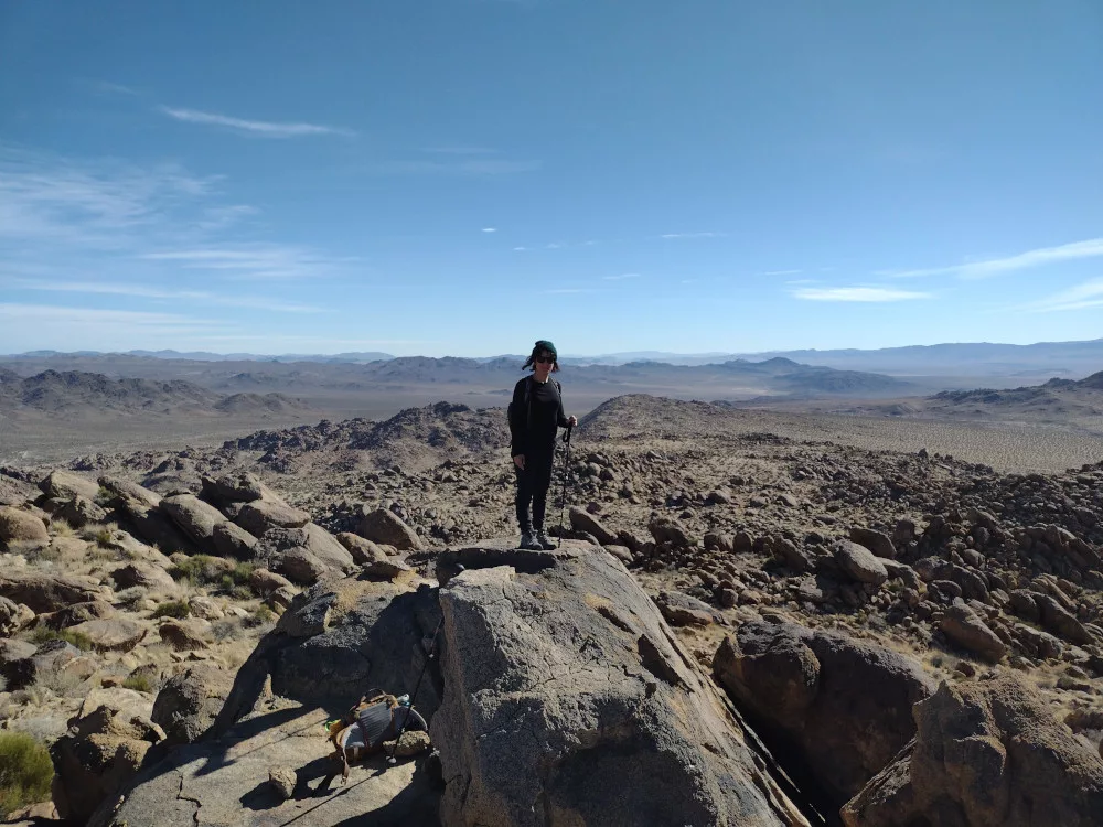
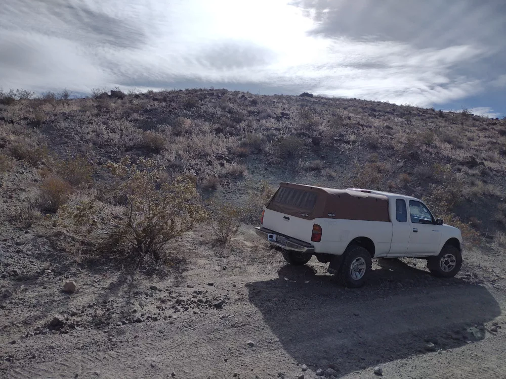
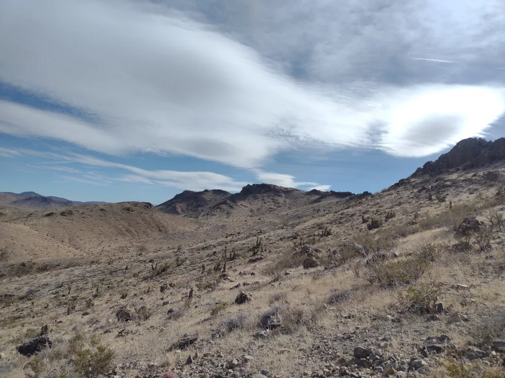
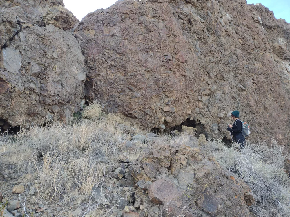
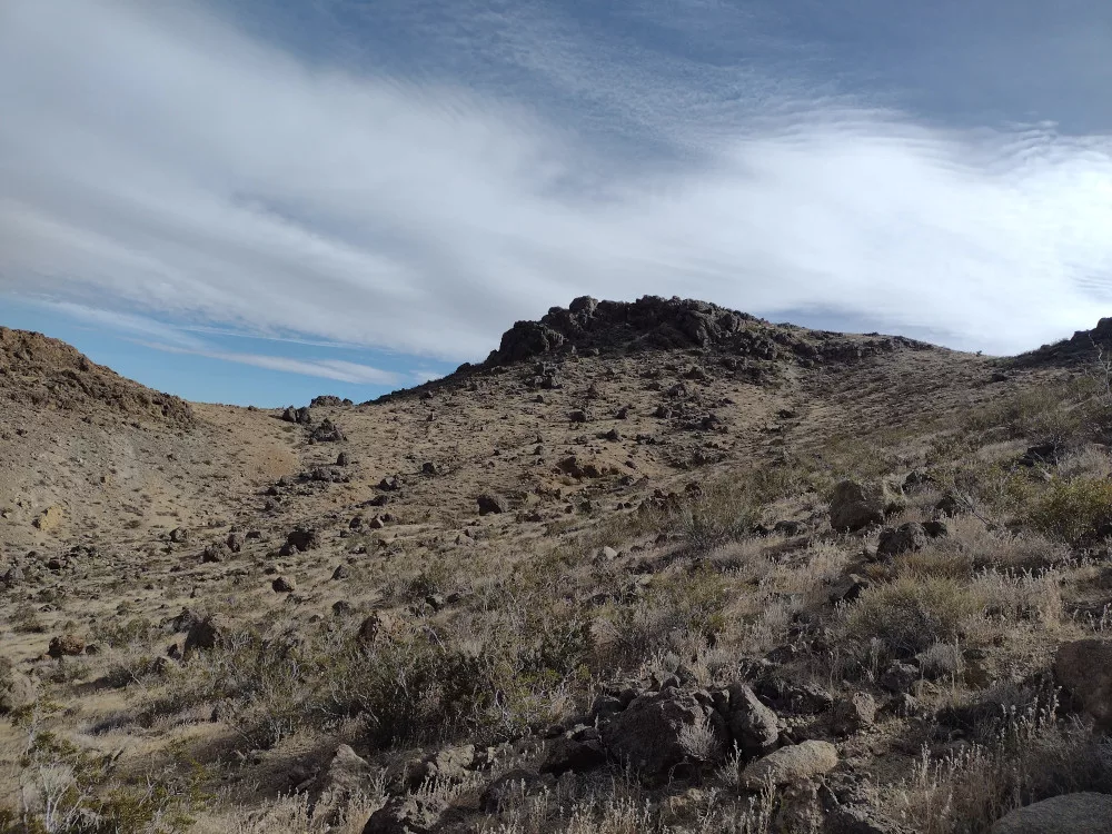
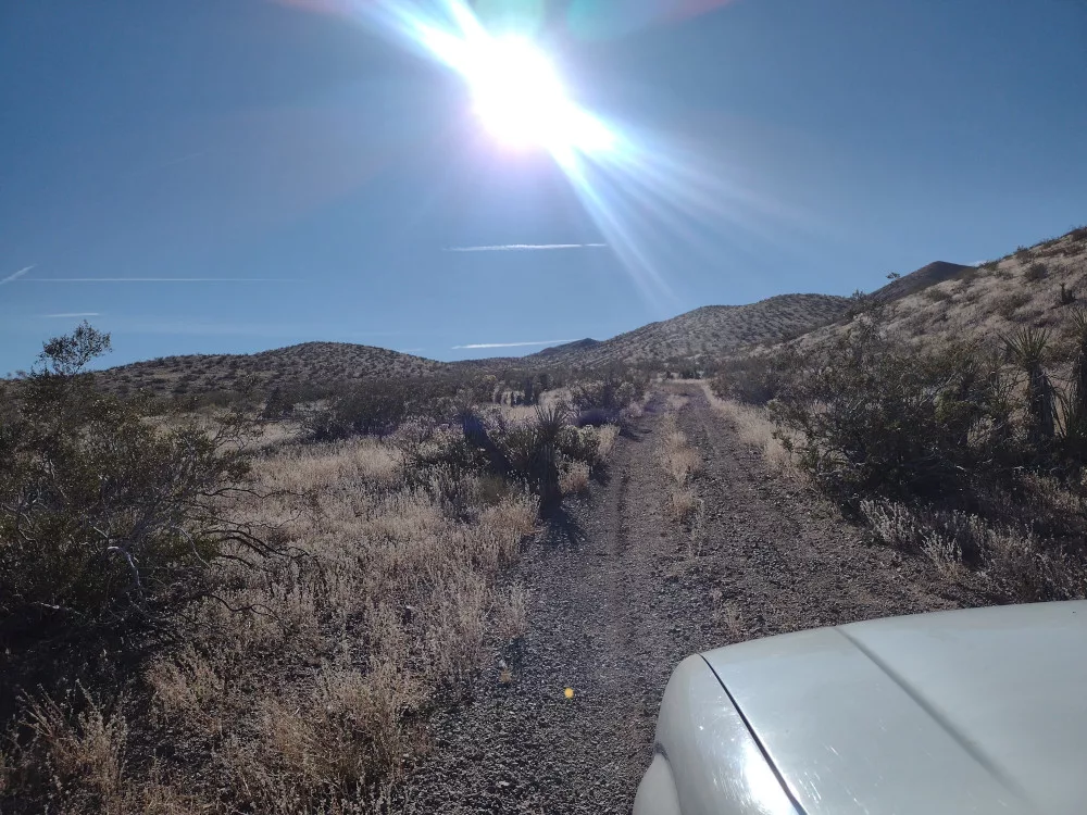
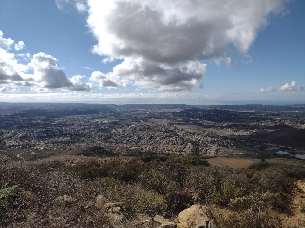
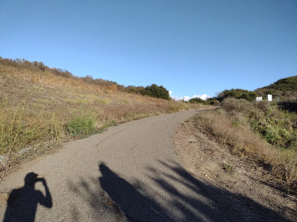
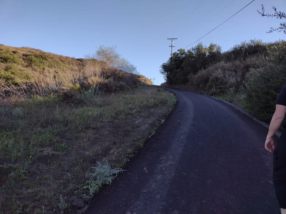
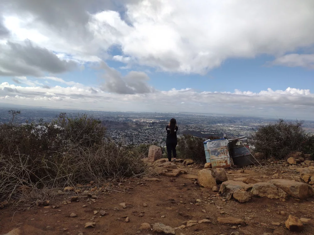
I spent the weekend camping in the area and planned 4 or 5 summits to hike while I was out there. It took me some time to actually leave the house, so by the time I got to the desert it was much later than I would have liked. As such, I started my SOTA day with the easiest one – Government Peak. This is basically a drive up, however, I took many wrong turns on the maze of roads. Recent rains washed out a chunk of one such road and my rear tire fell into the resulting hole, and with an open differential the tire just spun. I needed 4wd to get out. Not far from where I got stuck, I stopped the truck and hiked the remainder of the road up. You could drive straight to the top, but I was in the vehicle for a few hours already and wanted to stretch out a bit.
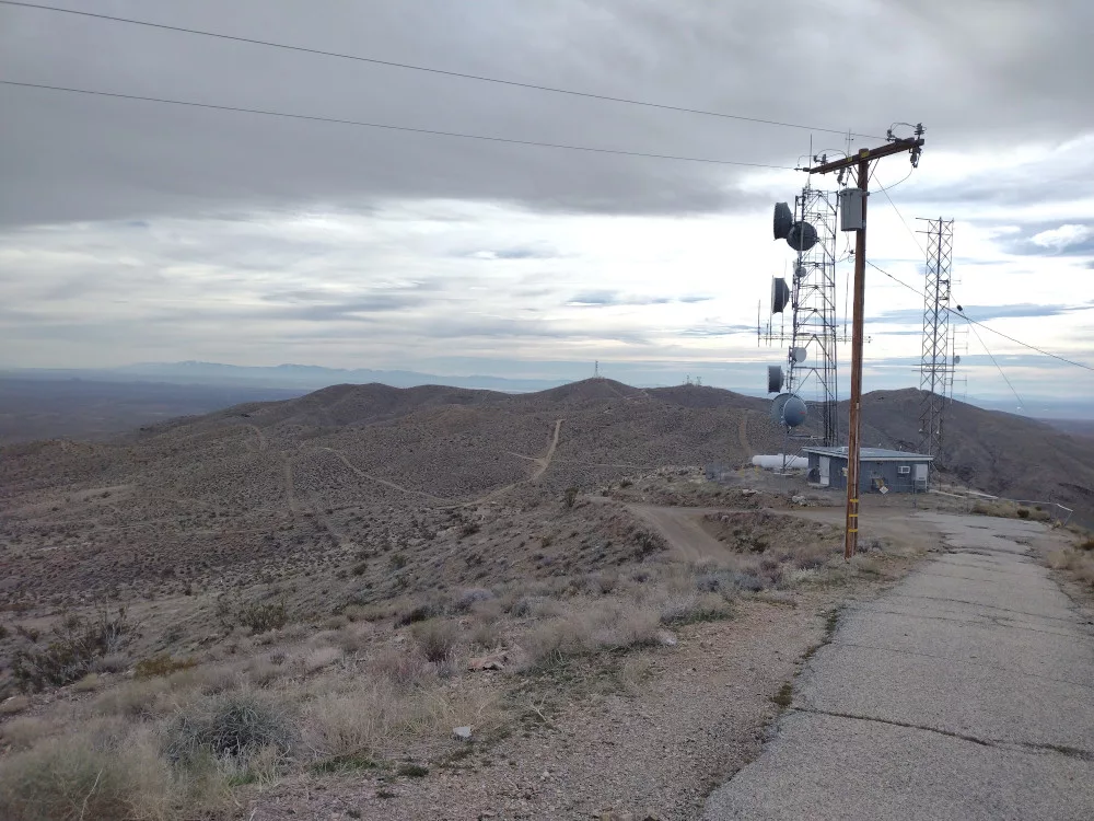
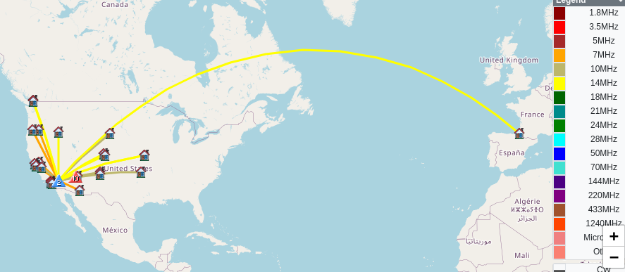
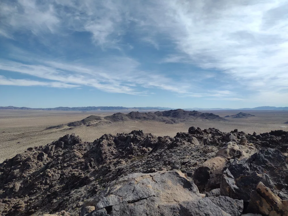
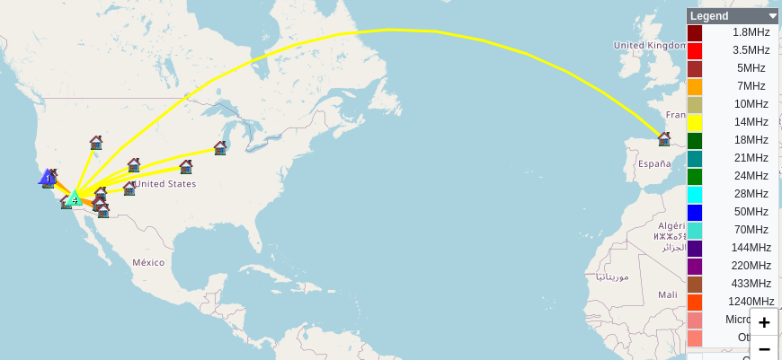
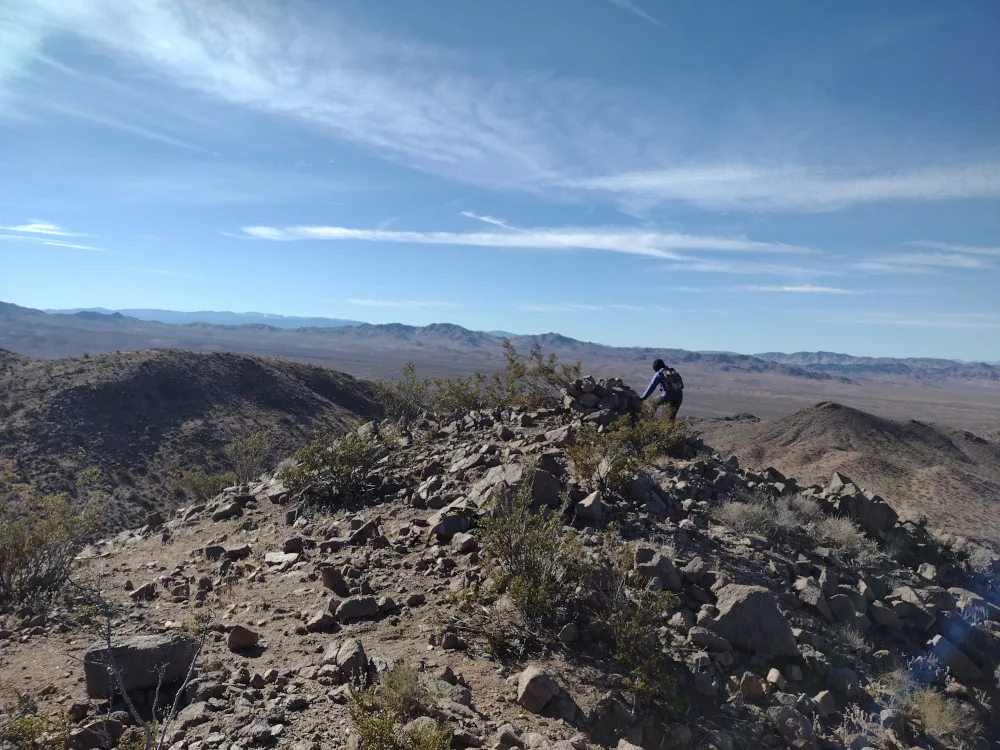
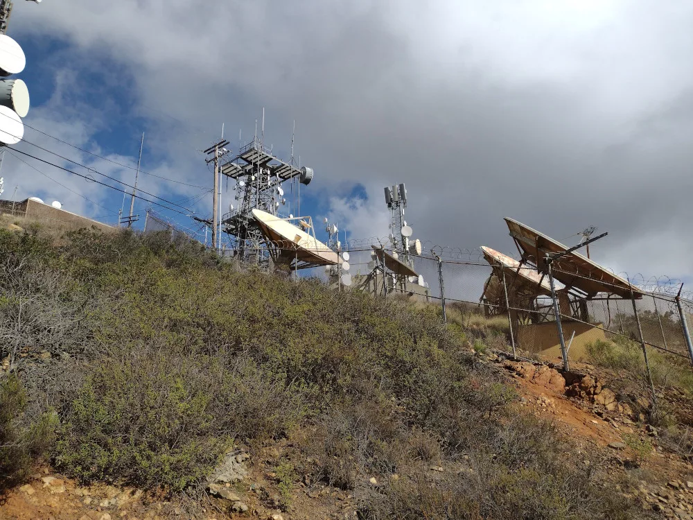
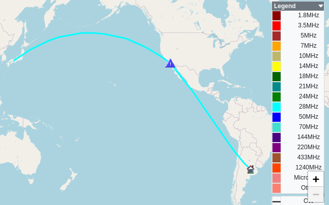
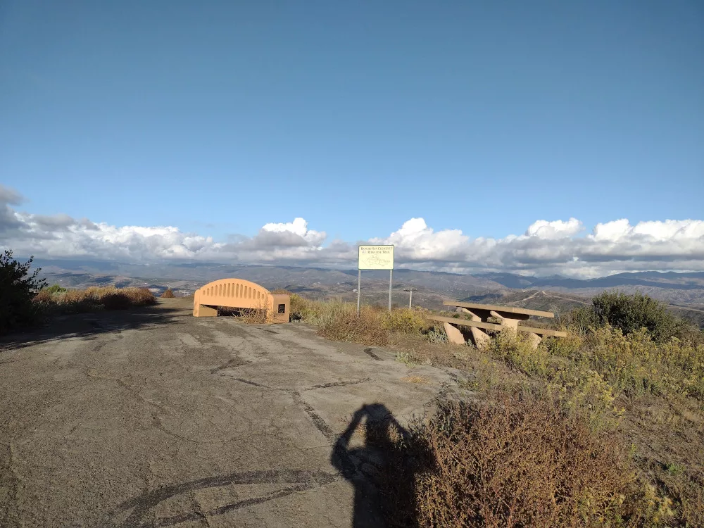
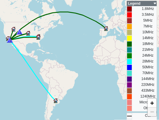
The top is a narrow ridge with a few communication equipment shelters and some towers. I couldn’t locate a benchmark, but perhaps it was behind a fence. I stretched out an EFHW antenna and leaned my mast on an unused utility pole to support the wire. Worked 7m and 14m CW; didn’t bother with 2m FM on this one. Wanting to get one more summit in before it got dark, I packed up the equipment and headed to the paved road. This would be a good one to do in the summer as you get 3 extra bonus points and the risk of environmental exposure can be reduced by driving to the top.
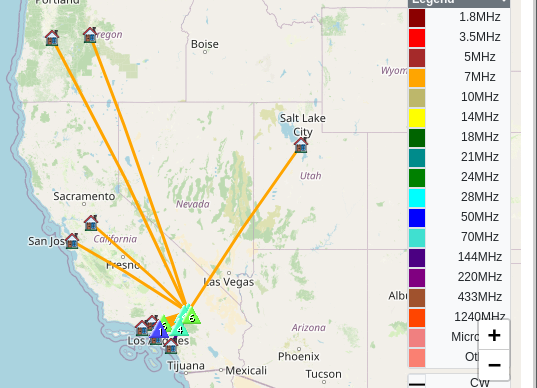
https://sotl.as/summits/W6/ND-224
Total climbing: 472 ft
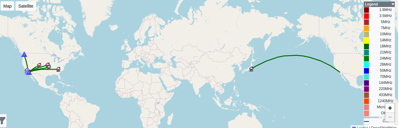
Date:16/02/2024 | Summit:W6/ND-224 (Government Peak)
| Time | Callsign | Band | Mode | Notes |
|---|---|---|---|---|
| 22:04 | WB6POT | 7MHz | CW | S58N R57N |
| 22:05 | N7AMA | 7MHz | CW | S55N R57N |
| 22:07 | N6WT | 7MHz | CW | S52N R599 S2S W6/SC-357 |
| 22:07 | NT6E | 7MHz | CW | S58N R57N |
| 22:09 | W7SKH | 7MHz | CW | S44N R22N |
| 22:10 | W6LEN | 7MHz | CW | S44N R599 |
| 22:11 | W6KME | 7MHz | CW | S599 R599 |
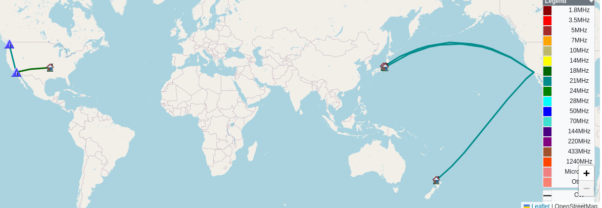
| 22:20 | K7EFW | 14MHz | CW | S55N R55N |
| 22:20 | NR7Y | 14MHz | CW | S52N R55N |
| 22:21 | N7EDK | 14MHz | CW | S44N R55N |
| 22:23 | WU7H | 14MHz | CW | S57N R55N |
| 22:24 | AD0WB | 14MHz | CW | S55N R33N |
| 22:25 | NT2A | 14MHz | CW | S52N R33N |
| 22:26 | W7SKH | 14MHz | CW | S55N R55N |
| 22:27 | W5ODS | 14MHz | CW | S55N R55N |
| 22:28 | W7CBR | 14MHz | CW | S57N R5NN |
| 22:28 | K5EM | 14MHz | CW | S55N R55N |