W6/CT-228 – 1821

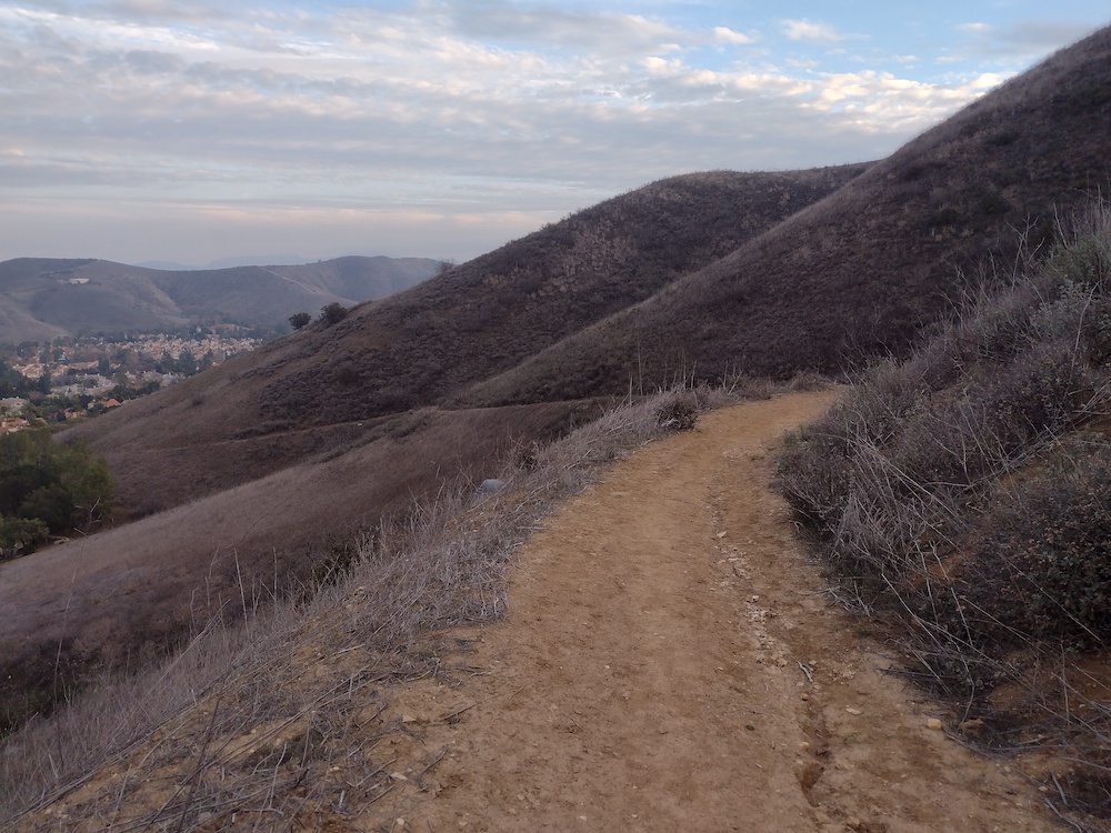
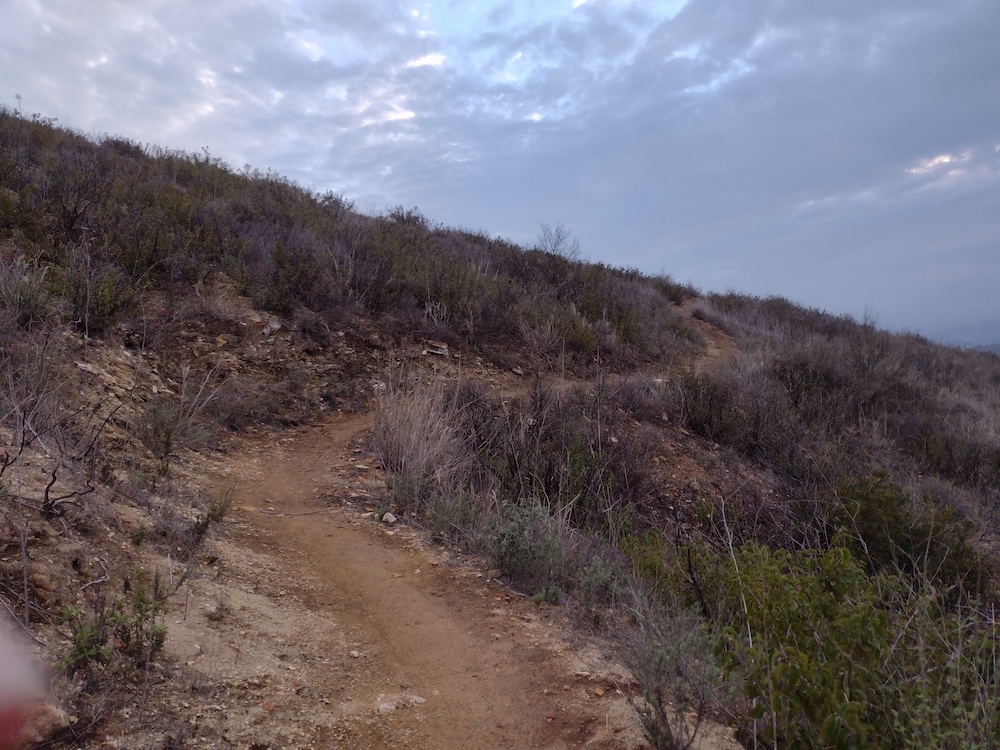
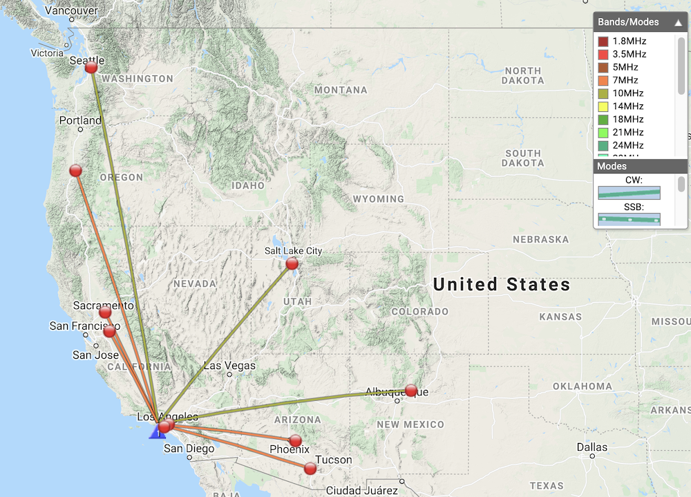
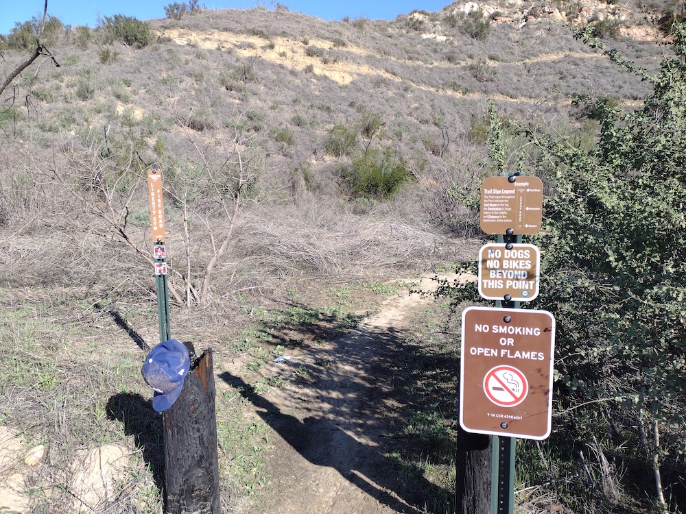
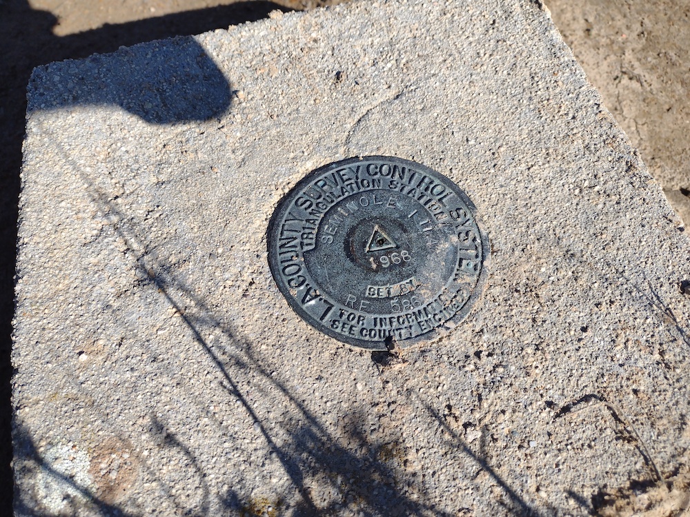
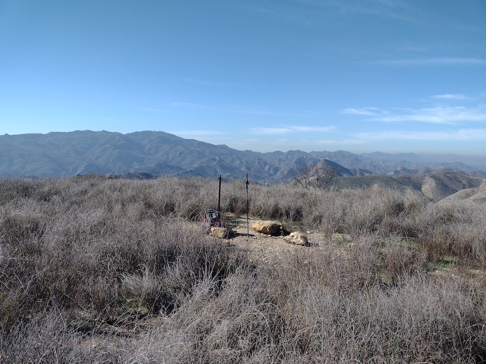
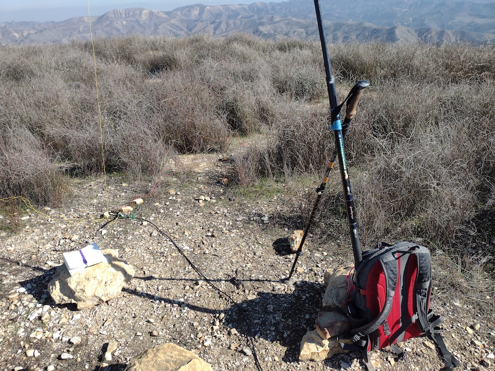
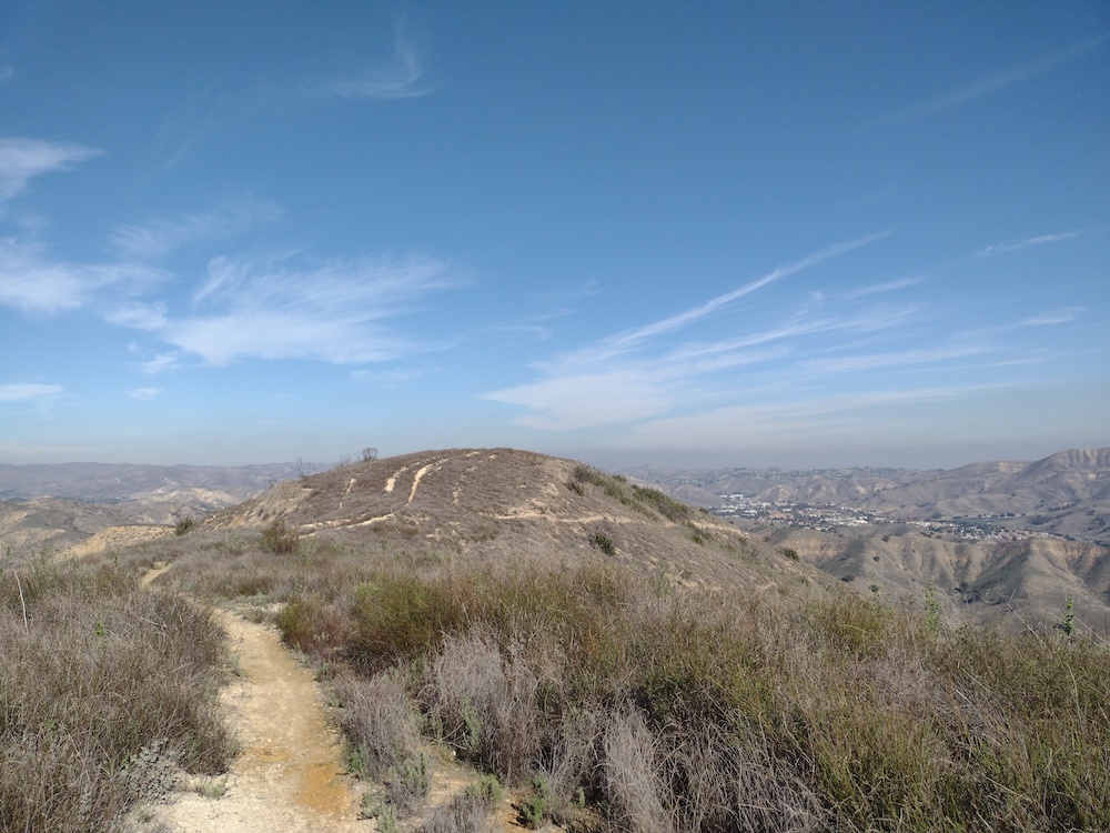
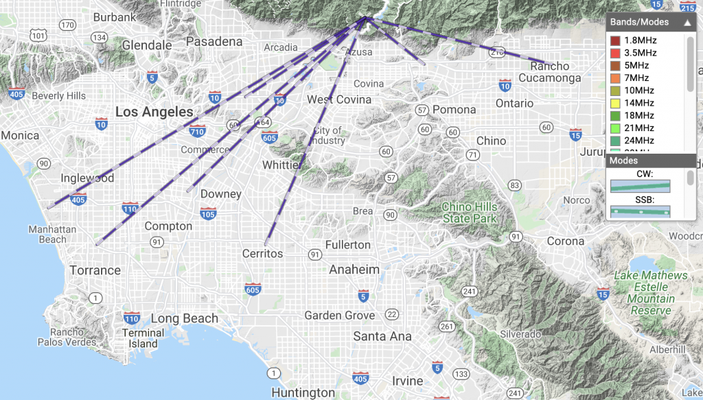
This was my third summit of the day. I decided to hike this one last minute because SoCal traffic was going to start loading up, and I figured why not hike instead of sit in traffic? I parked in a neighborhood somewhere in Thousand Oaks/ Westlake Village right next to the trailhead. Not entirely sure the name. Also not sure if this is still the Santa Monica Mountains? The path up is well defined and easy to follow. At the top is a single bench. I setup my station here as the sun set and called CQ on 40M, but only two takers. Pulled out the FM HT and called CQ on 2M and had a few local contacts. At this point the dew was setting and everything was getting extremely wet, to the point my paper wasn’t working anymore. Made two additional contacts on 40M then packed the station down and headed back to the car. I took the fire break down instead of the trail the wraps around the back side of the summit. My flashlight died on the way down so I used the white LED on my Yaesu, ha! I should probably pack a spare set of cells next time.

https://sotl.as/summits/W6/CT-228

Total distance: 2.04 mi
Max elevation: 1824 ft
Total climbing: 804 ft
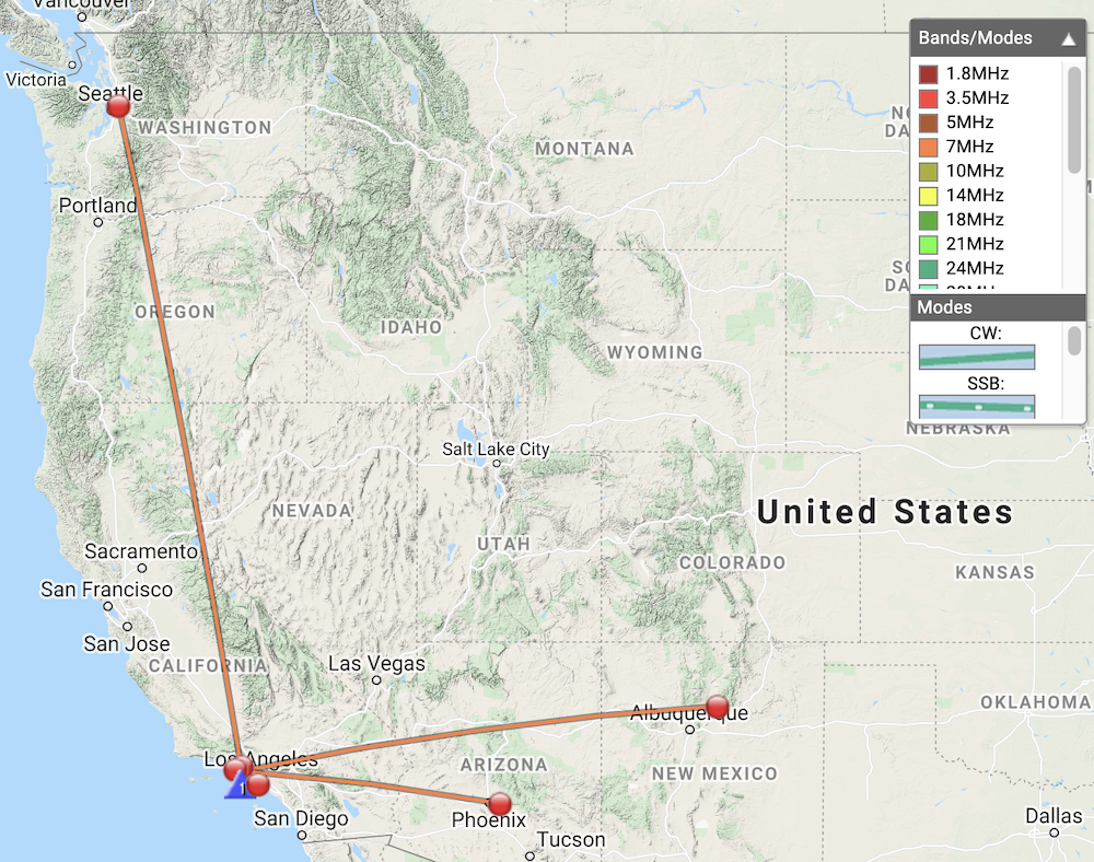
Total time: 01:59:13
Download file: 8121.GPX

Date:08/01/2022 | Summit:W6/CT-228 (1821)
TimeCallsignBandModeNotes
01:19KT5X7MHzCWS54N R33N
01:21WW7D7MHzCWS589 R43N
01:28AG6AG144MHzFMS59 R59
01:37AG6JF144MHzFMS59 R55
01:41W6XC144MHzFMS59 R59
01:49N8FN7MHzCWS33N R22N
01:54K6LDQ7MHzCWS54N R52N

W6/SC-347 – 1470

This was my first summit of the day out of three, one point summits in the Santa Monica Mountains. The trailhead is right off Mulholland Highway near Agoura Hills, and after about a mile hike in, you’re at the summit! No shade whatsoever. No rock pile to jam an antenna mast in. I ended up keeping my pole in my backpack and used my trekking pole as a secondary support which worked pretty well. It had been a few weeks since I thought about CW so I was super rusty and couldn’t remember how to send some things; I’m pretty sure I send David the wrong summit ref for our S2S. Worked 10M and 40M. Called out on 2M FM but had no takers. I packed the station up, headed down the hill and over to the next summit, Ladyface.

https://sotl.as/summits/W6/SC-347

Total distance: 1.81 mi
Max elevation: 1473 ft
Total climbing: 678 ft
Total time: 01:45:27
Download file: 1470.GPX

Date:07/01/2022 | Summit:W6/SC-347 (1470)

TimeCallsignBandModeNotes
19:23WB7ULD10MHzCWS54N R55N
19:25N6AN10MHzCWS599 R53N S2S W6/CT-225
19:28WW7D10MHzCWS559 R41N
19:30WA6BJH10MHzCWS55 R55N
19:45K6HPX7MHzCWS54N R55N
19:46K6YK7MHzCWS45N R55N
19:47KI6PMD7MHzCWS55N R54N
19:48K6MAA7MHzCWS45N R33N
19:49NK6A7MHzCWS54N R33N
19:50N8FN7MHzCWS45N R55N
19:51K6SDW7MHzCWS559 R5NN
19:52W6TDX7MHzCWS35N R44N

W6/SC-285 – Ladyface

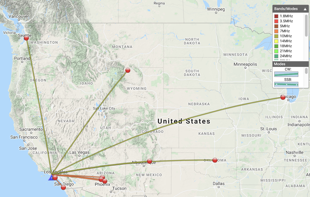
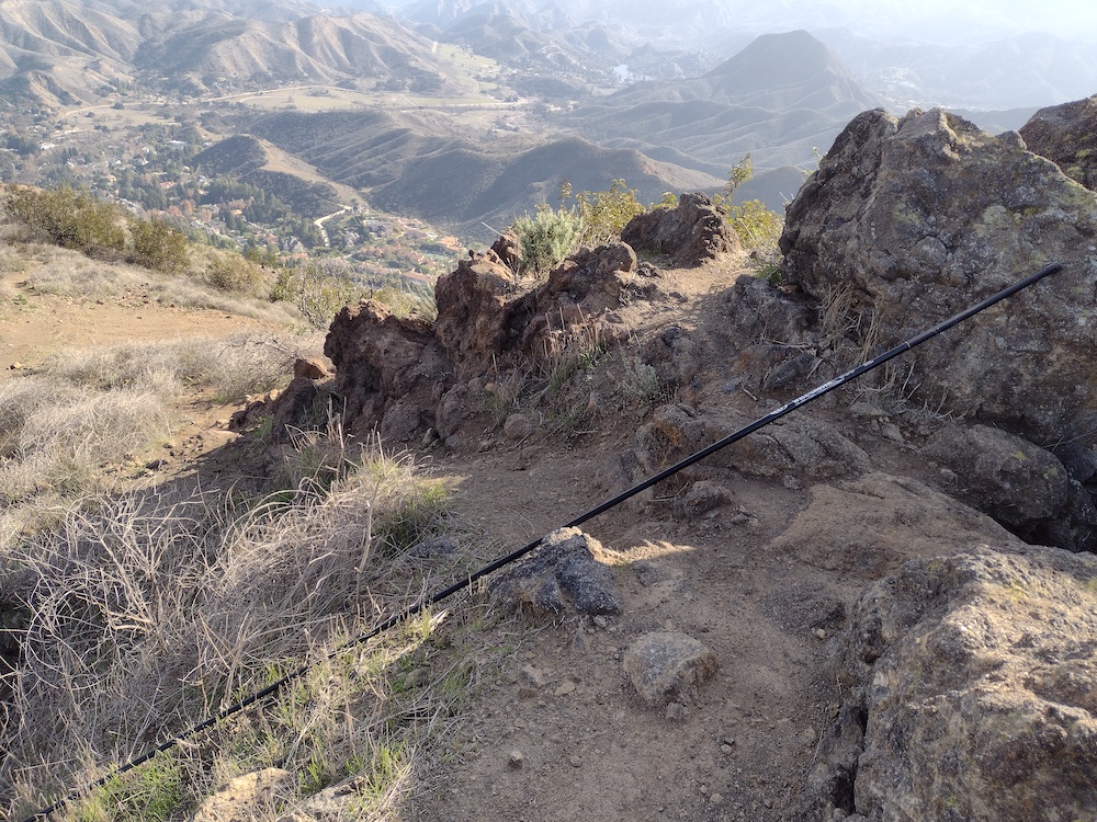
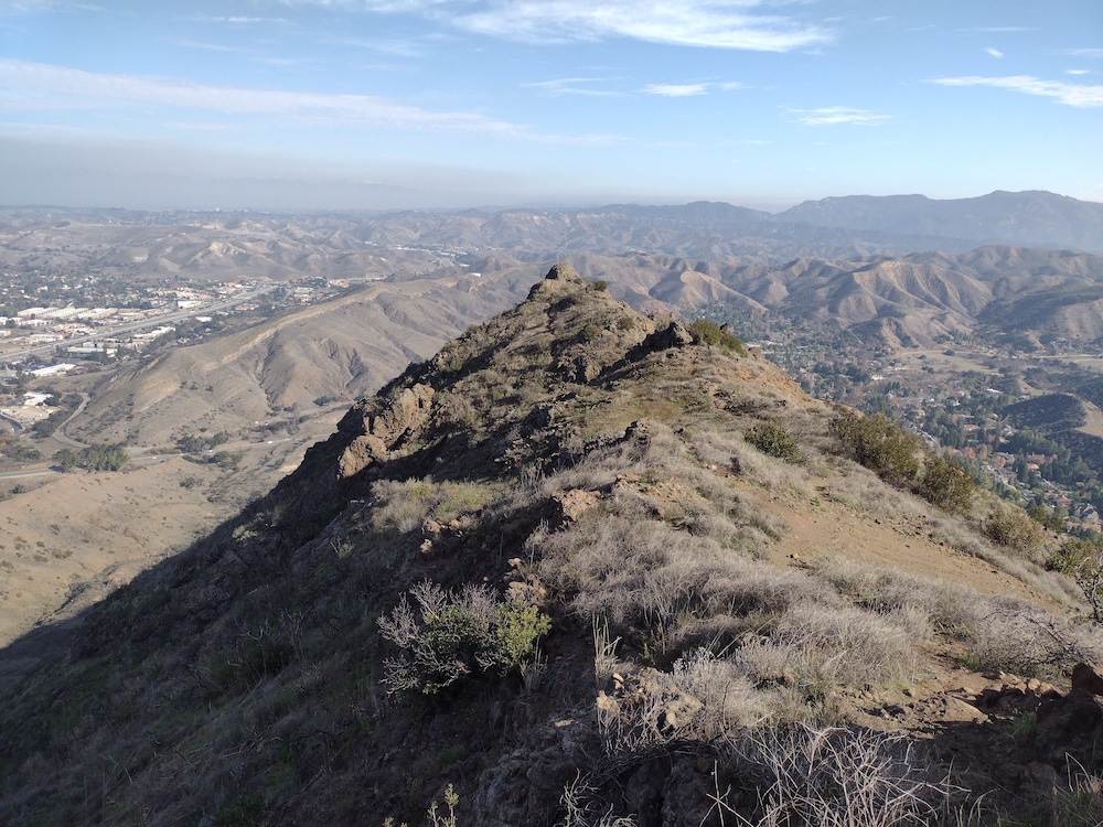
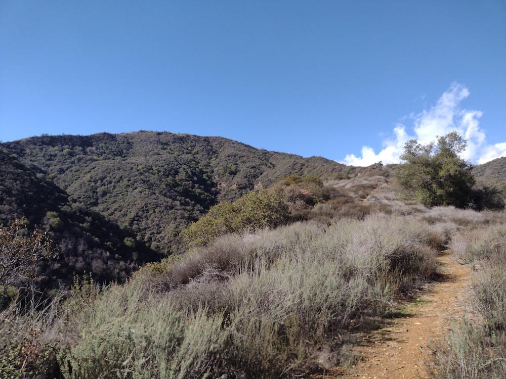
Ladyface is the second summit I did on a warm January day. The trailhead is easy to find, located just off the 101 on Kanan Rd. I parked on the side of the road and followed Ladyface Peak Trail to the summit. Quite steep in some areas and the road noise from the 101 and Kanan Rd never disappeared. I took the opportunity to rest a few times and marvel at the large estates below, and thought about how many tennis matches are actually played at all the tennis courts in various back yards. At the summit, I found a fiberglass fishing pole. I emailed the last activator asking if they wanted it back, but it wasn’t their pole! I setup my vertical and worked 10M and 40M. Two S2S. Tried 2M FM, but no takers. The weather turned and it got very cold quickly, which I was thankful for as it had been so hot hiking up. I packed the station away and headed down, thinking about how brutal this one would be in the middle of summer, and how I was glad to be doing it in January.

https://sotl.as/summits/W6/SC-285

Total distance: 2.2 mi
Max elevation: 2024 ft
Total climbing: 1289 ft
Total time: 02:54:09
Download file: Ladyface.GPX

Date:07/01/2022 | Summit:W6/SC-285 (Ladyface)

TimeCallsignBandModeNotes
22:09N5URL10MHzCWS55N R57N
22:11KT5X10MHzCWS589 R549
22:12NG6R10MHzCWS5NN R57N
22:13WW7D10MHzCWS55N R43N
22:14KF9D10MHzCWS55N R53N
22:16N7MQ10MHzCWS54N R54N
22:19N6AN10MHzCWS54N R54N S2S W6/CT-225
22:32KR7RK7MHzCWS55N R59N S2S W7A/CS-072
22:34W7DLZ7MHzCWS5NN R53N
22:35N8FN7MHzCWS339 R55N
22:37W9SSN7MHzCWS45N R22N
22:38KF6HI7MHzCWS559 R54N
22:39K6LDQ7MHzCWS599 R53N
22:41K7NCM7MHzCWS55N R31N
22:42NK3S7MHzCWS45N R22N
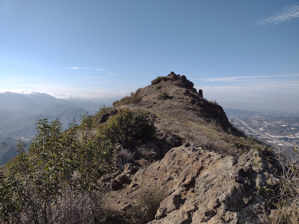
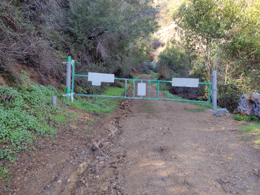
The trailhead
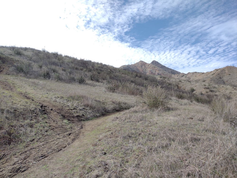
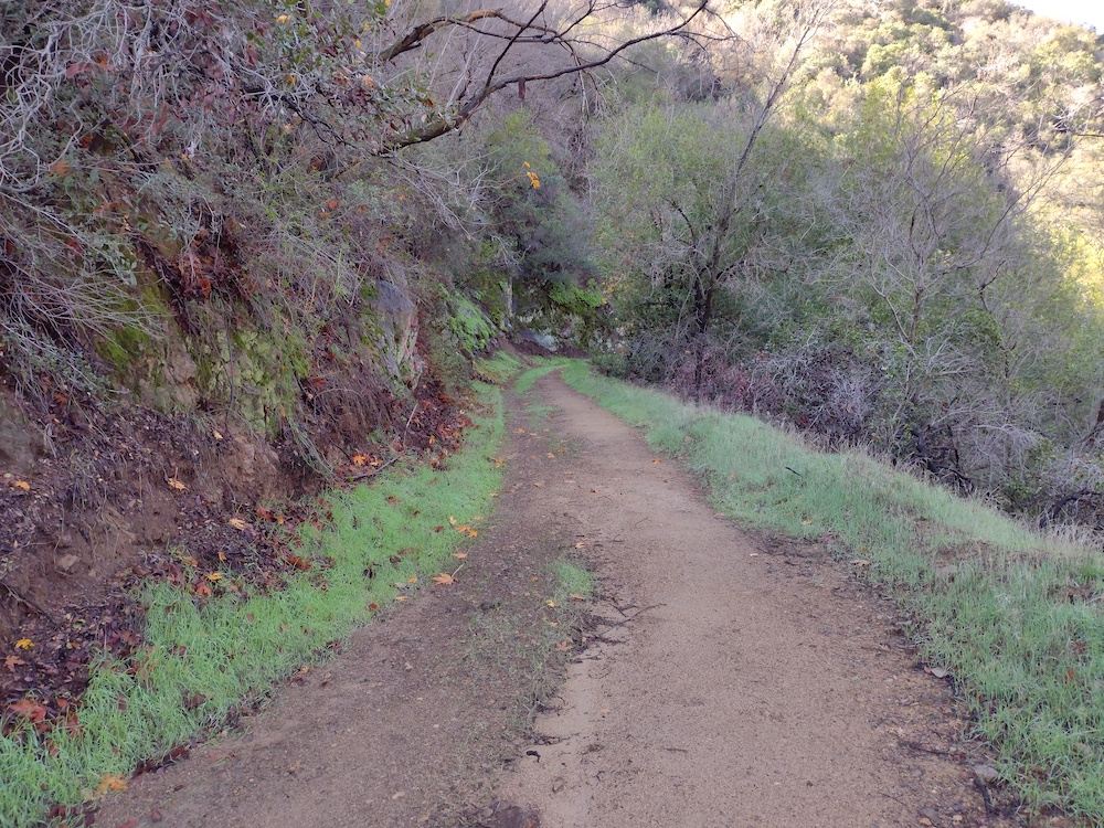
Heading up
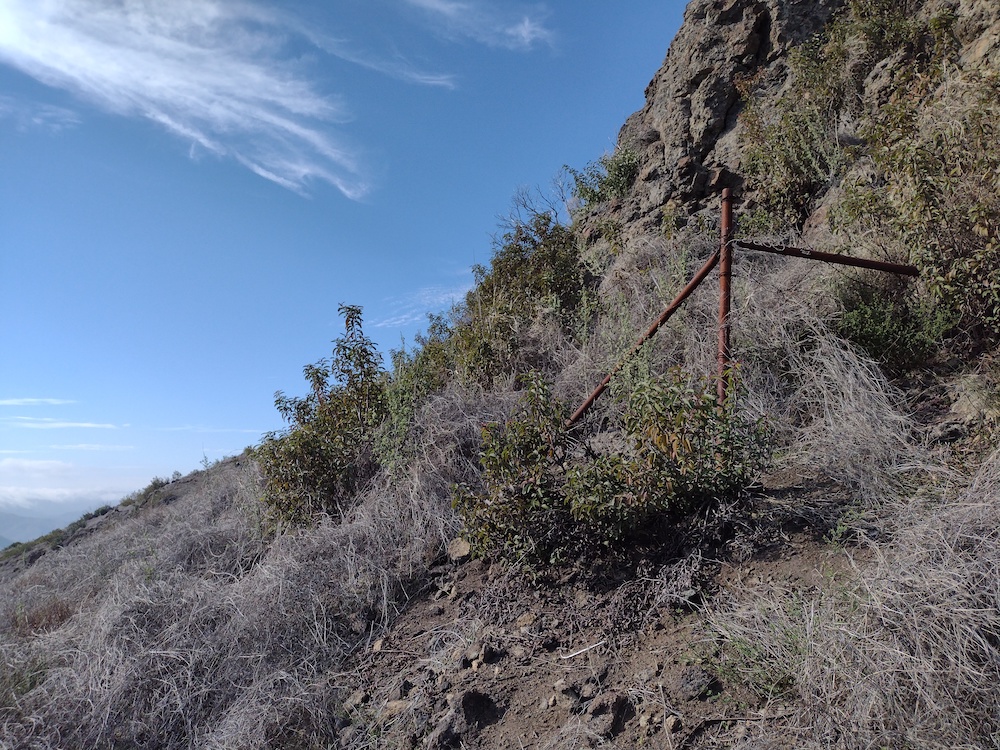
Someone put a fence up here years ago!
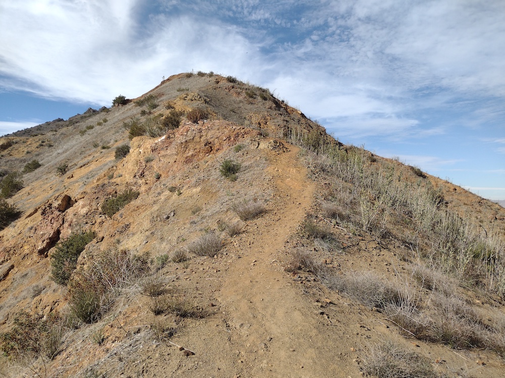
Getting closer to the top
Found a fishing pole! This wasn’t forgotten by the last person who activated the summit though.
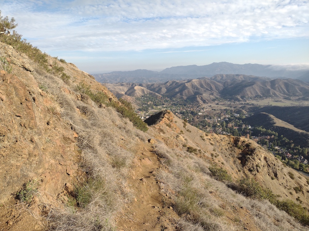
Heading down
Continuing down

W6/CT-272 – 2843

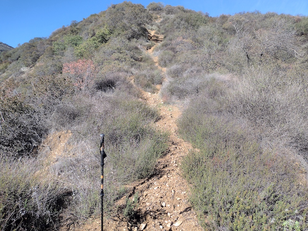
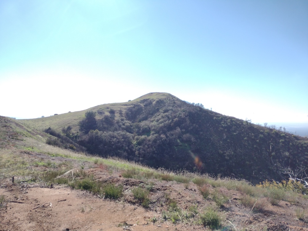
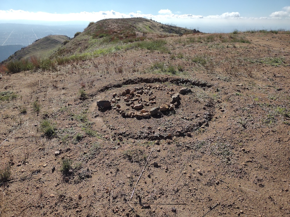
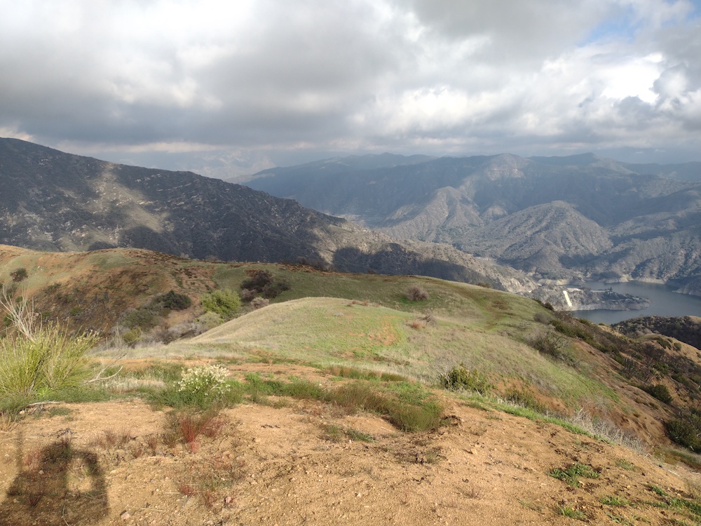
This activation wasn’t really planned. I was actually going to hike a different summit, however the trailhead had a large “Trail Closed” sign due to the Bobcat Fire. This didn’t stop anyone though, as I could see several others hiking up and down the switchbacks…. Anyways, I went back to the car and tried to figure out a plan B, which happened to be 2843. The hike starts out on a fire road. Around the one mile mark, split off road and head up a very steep firebreak. Luckily, we got some rain the ground was grippy instead of loose dust. Eventually you pass another road, but continue straight up the steep firebreak. At this point I felt like I was being stalked by a creature, but I never saw anything. Near the top, the hills were green with fresh grass, that reminded me of the default Windows XP desktop image. Once at the summit I setup my HF station, but I forgot to charge the battery! Doh! I was able to activate the summit with a HT only, on 2M, with one S2S. Hiking down, I wish I had a second trekking pole, because it was very steep!

https://sotl.as/summits/W6/CT-272

Total distance: 3.88 mi
Max elevation: 2847 ft
Total climbing: 2043 ft
Total time: 03:41:27
Download file: 2843.GPX

Date:31/12/2021 | Summit:W6/CT-272 (2843)

TimeCallsignBandModeNotes
20:35N6XZN144MHzFMS59 R59 S2S W6/CT-212
20:37K6LDQ144MHzFMS59 R59
20:38KI6SLA144MHzFMS57 R59
20:40N6MDZ144MHzFMS22 R55
21:06WB6MYL144MHzFMS59 R59
21:12KM6CEM144MHzFMS59 R59
21:22K6QCB144MHzFMS55 R32
21:30KD7DTS144MHzFMS59 R50 POTA K-3451
21:31KN6DMO144MHzFMS59 R59

W6/SD-037 – Inspiration Benchmark

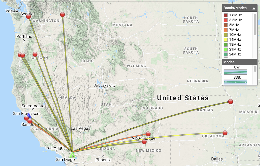
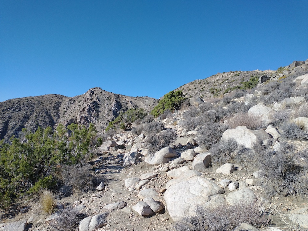
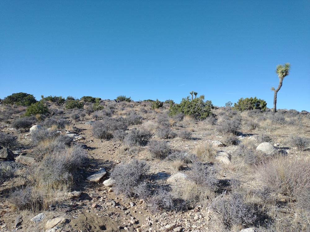
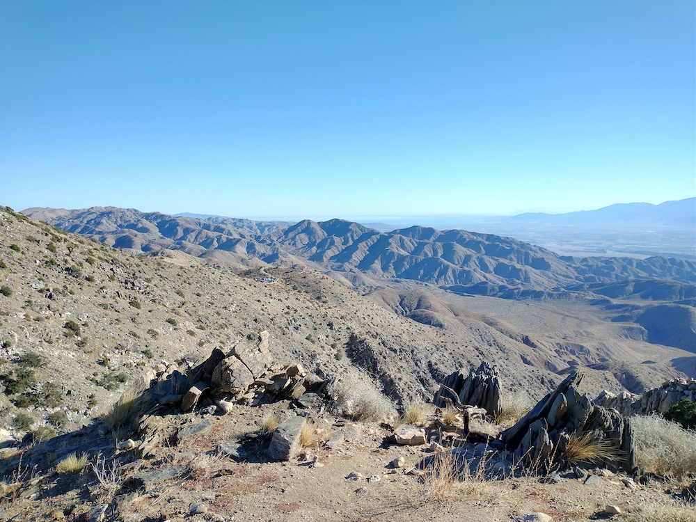
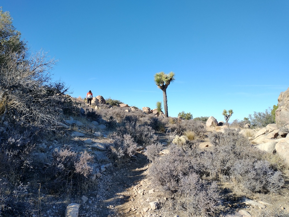
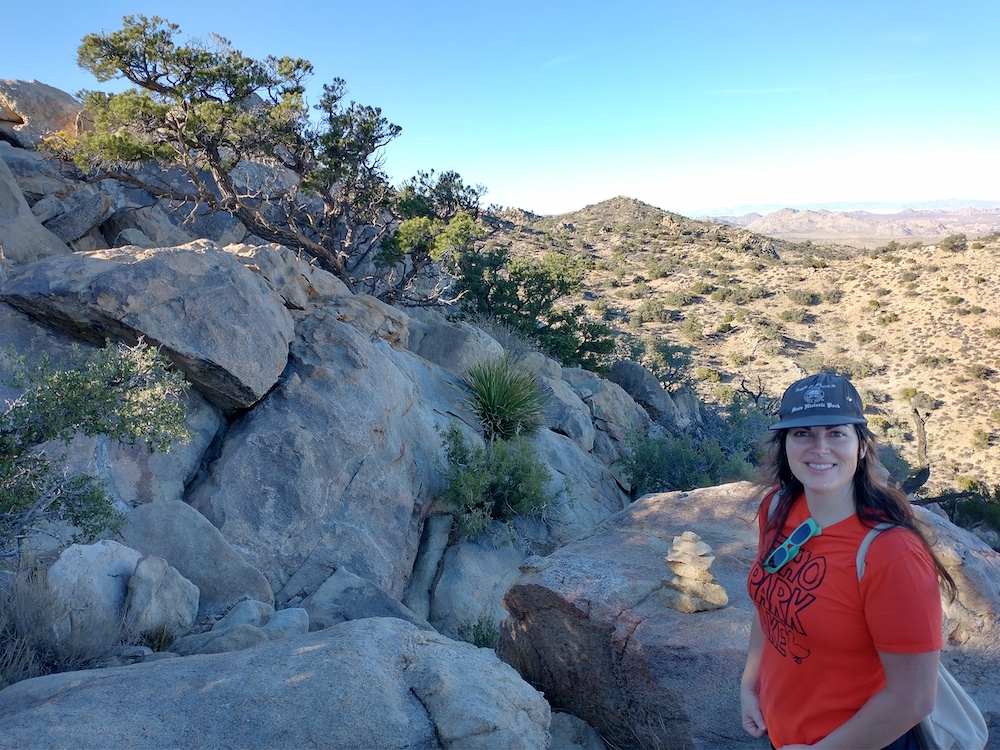
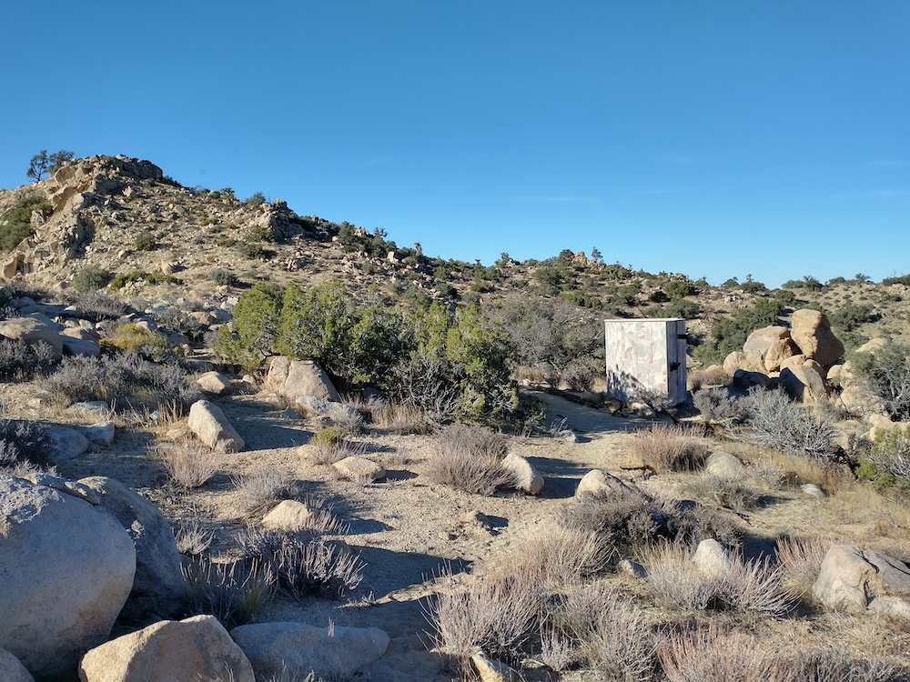
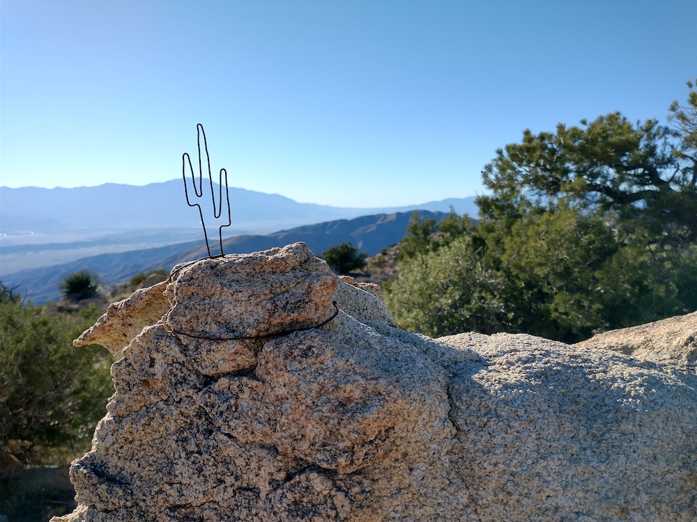
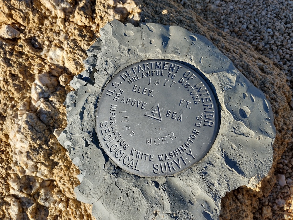
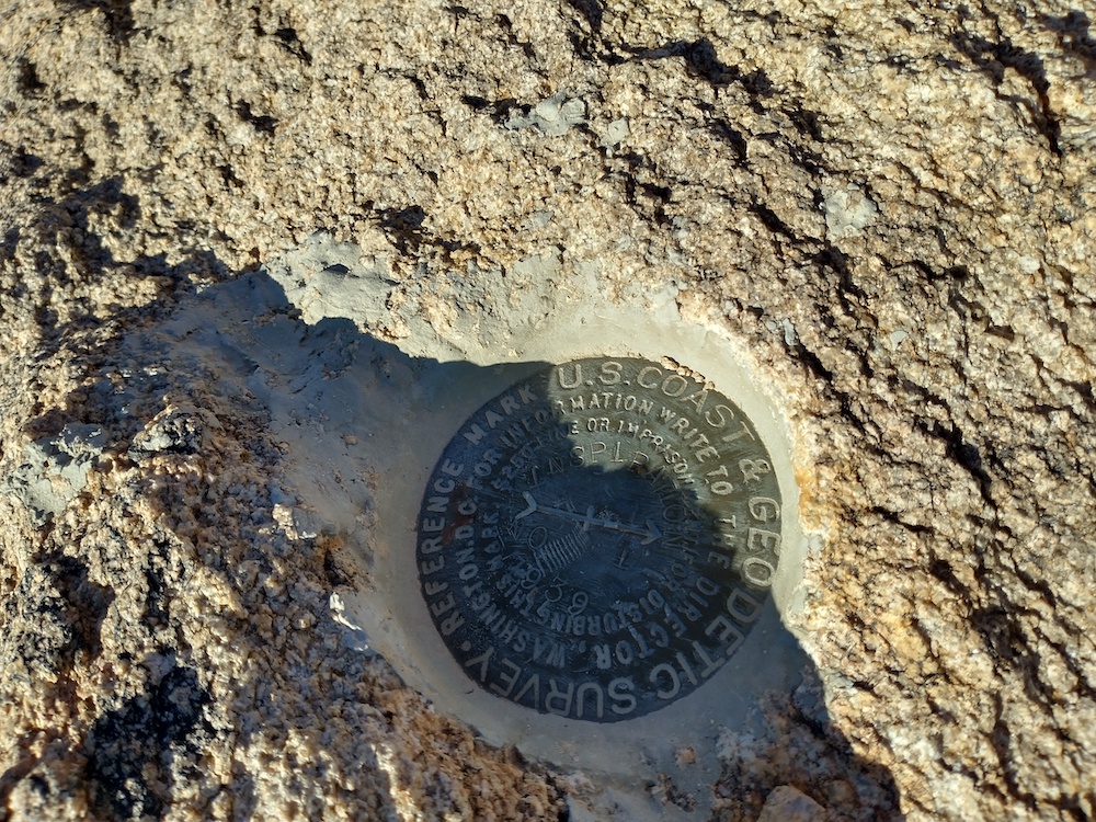
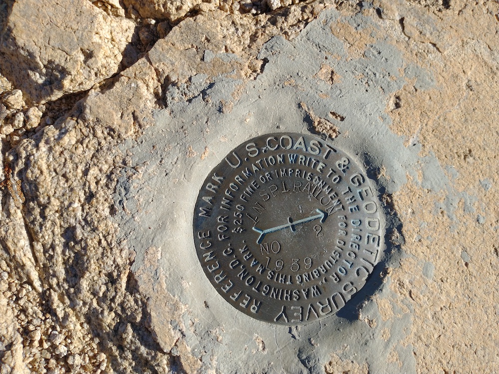
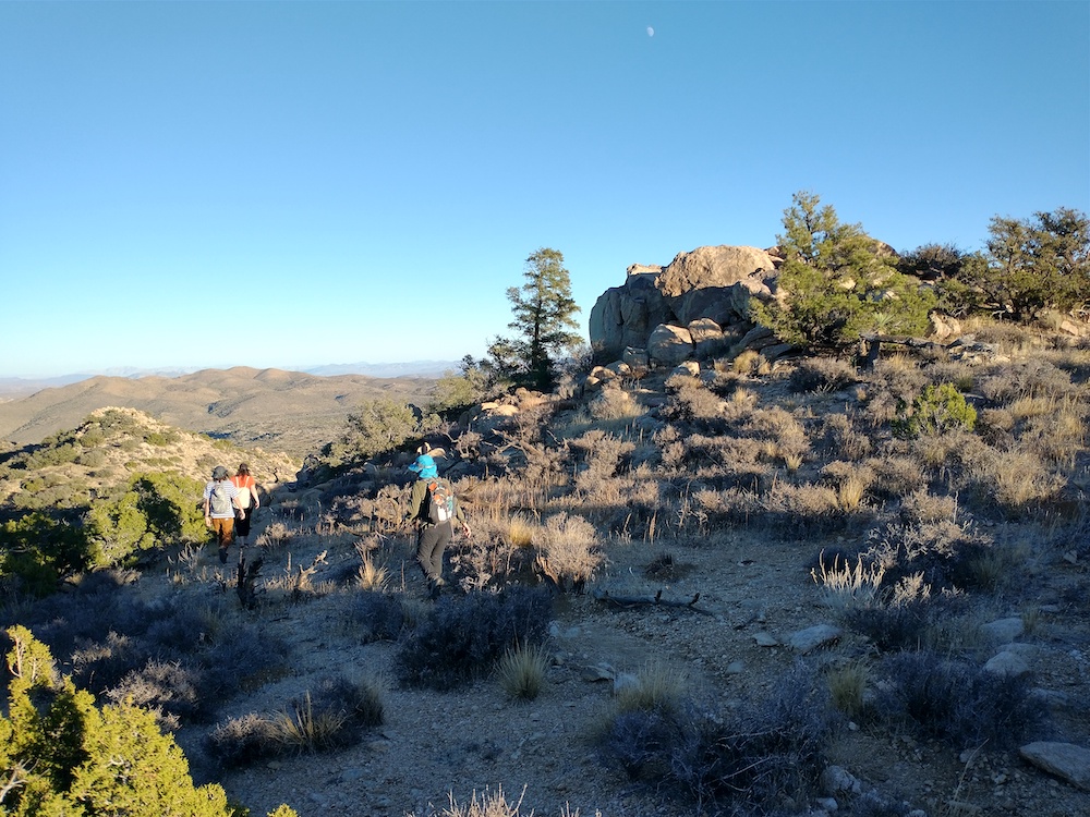
One of my hiking pals rented a house in Wonder Valley for their birthday, so, of course we needed to go hiking somewhere, and since we were right by Joshua Tree National Park, that’s where we went! At the crowded trailhead, we were able to easily find a parking spot. Others were not so lucky and had to turn around. In addition to passenger vehicles, there were a few tour busses, full of people, all headed up a paved walking path to a vista. Luckily, Inspiration point was the opposite direction of the tourists, and after a few minutes of hiking, they were out of sight. At the summit, I mostly worked 10M, with one S2S.

https://sotl.as/summits/W6/SD-037

Total distance: 1.91 mi
Max elevation: 5590 ft
Total climbing: 856 ft
Total time: 02:13:16
Download file: inspiration.gpx

Date:13/11/2021 | Summit:W6/SD-037 (Inspiration Benchmark)

TimeCallsignBandModeNotes
23:00W6TDX10MHzCWS55N R55N
23:04NW7E10MHzCWS55N R55N
23:07K3GX10MHzCWS55N R55N S2S W6/NC-371
23:08AI6QZ10MHzCWS55N R55N
23:12WB5USB10MHzCWS54N R44N
23:14WB7VTX10MHzCWS54N R53N
23:15N7CNH10MHzCWS55N R44N
23:16W0MNA10MHzCWS55N R55N
23:18WW7D10MHzCWS5NN R41N
23:19W0ERI10MHzCWS54N R55N
23:20K6MW10MHzCWS55N R55N
23:27W5ODS14MHzCWS559 R559
23:30NU3A14MHzCWS55N R33N
23:36KE6MT7MHzCWS44N R54N
23:38K7SO7MHzCWS45N R54N