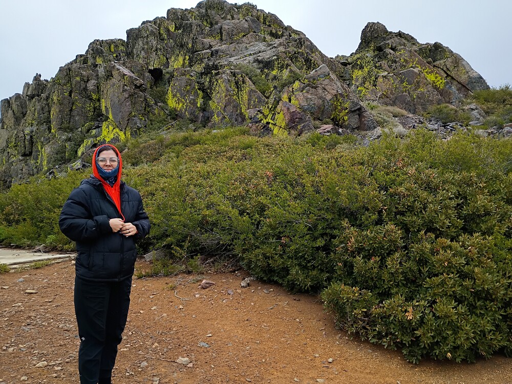
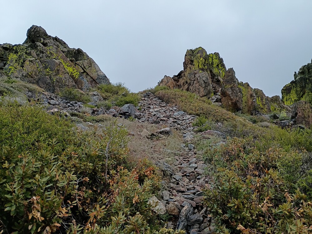
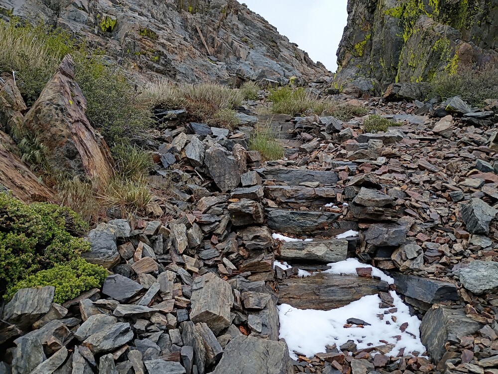
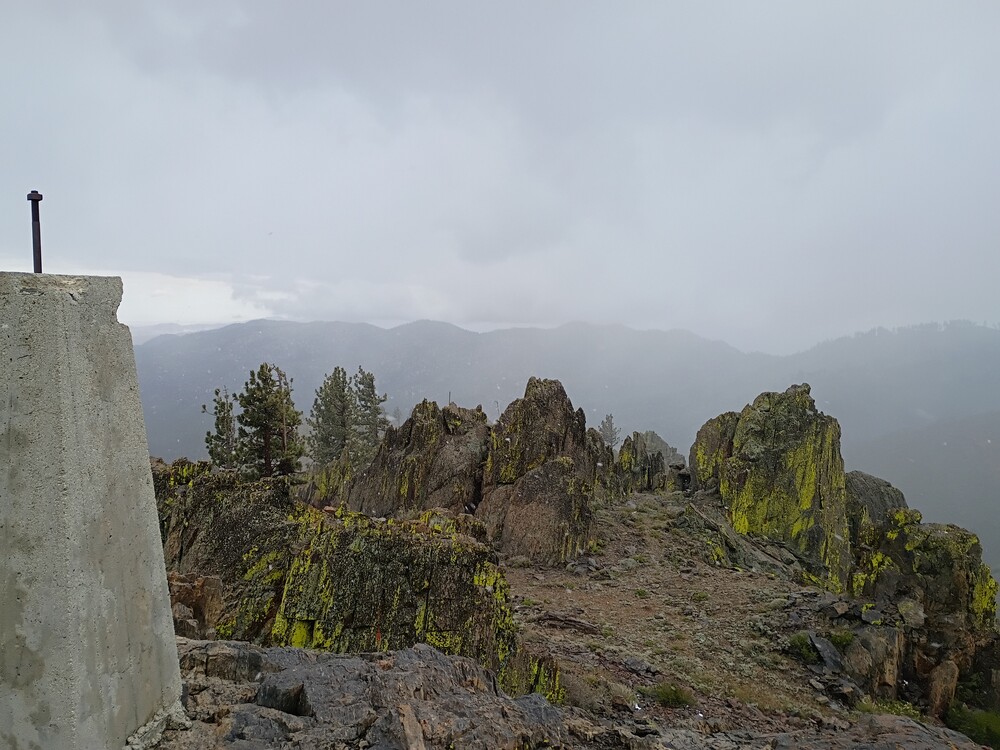
After leaving W6/SS-348, we headed back to Piute Mountain Road and went deeper into the forest. We took our time, stopping in interesting areas to look around, so It took about 2 hours to travel between summits. Finding the actual summit was easy, there is a road straight to the top! Oh, the gate was open, so we drove through. As we started to gain elevation, it started snowing. At the top is a small slab and a short scree path up to the summit. Once there I setup on 2M CW for one QSO, 183km. I jumped on 20M CW to complete the activation. The snow was melting immediately and I was getting wet, so I didn’t stay too long. Fog, snow, bright green lichen made an interesting experience that will be hard to duplicate, even if I come up to this summit again. See additional video footage on my peertube server that somewhat captures this.
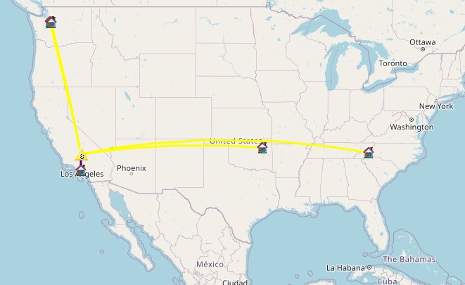
I’ve wanted to visit this area for a long time, but never made the trip because it’s kinda a far drive from my pad in Los Angeles. Well, after studying maps and looking over forest service maps, I found a perfect opportunity to go. Kel and I left home early in the morning, navigating various freeways out of the city, eventually ending up on Highway 14 north past Mojave, CA. From there, we turned left on Jawbone Canyon Road (dirt) and continued for quite a long way, eventually making a left on Grouse Meadow Trail, which got us close to the base of 7895. Once parked, it was an easy hike up to the summit. At the top I setup my Yaesu 817 with a roll-up 2M antenna and posted a spot. I didn’t think I would make any QSOs here, but Jon from Torrence boomed right in. I didn’t get any other takers, so I moved to the 20M band which resulted in two S2S QSOs. The weather was a bit stormy so I packed up and headed back to the truck.
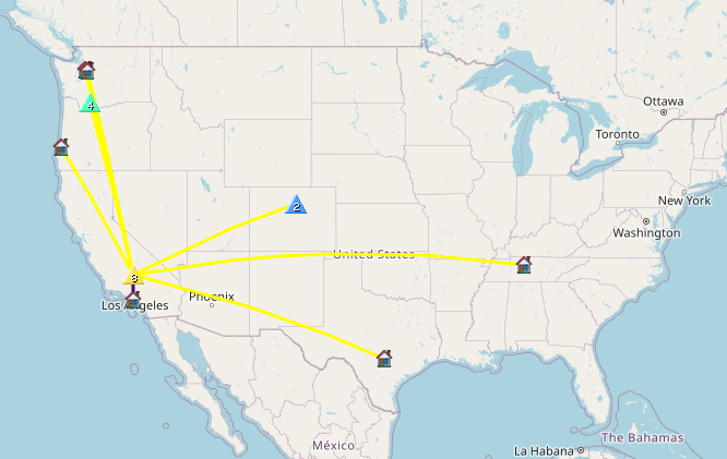
This is a small collection of video footage from our day trip to the Southern Sierras. It’s hosted on a DIY peertube server, and might not survive forever, so watch it while you can!
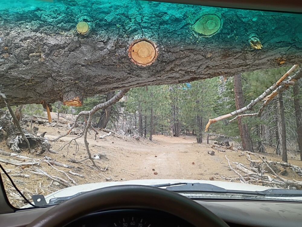
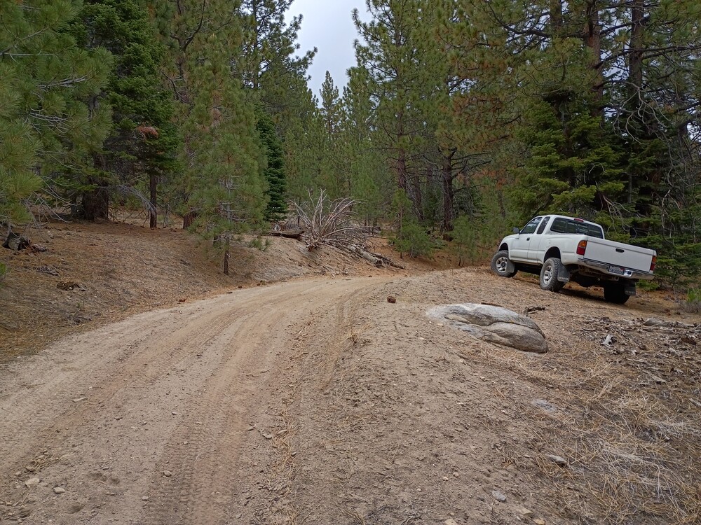
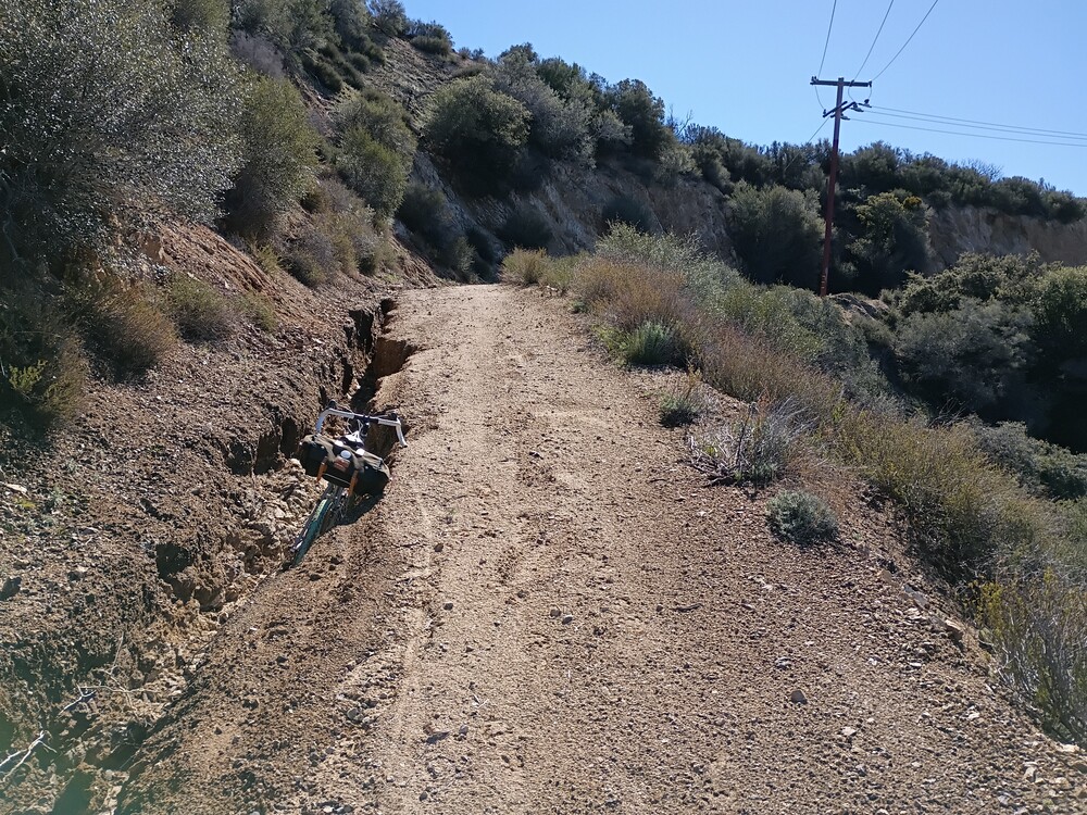
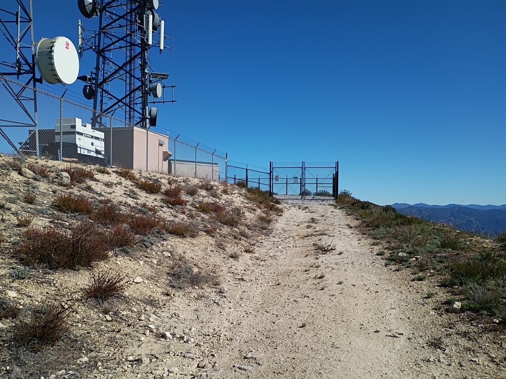
It took me three attempts to activate Whitaker Peak. The first attempt was 2021. From the fire road, I scaled a near vertical wall and actually made it to the peak, but found the battery I brought was dead! The second time, I mountain biked up to the communications site, but there were so many workers there I couldn’t easily get myself and bike around their trucks to proceed along the ridge. On my third and final attempt, I planned to ride up from Golden State Highway, but the Whitaker Peak fire road gate was open, so I drove through, saving quite a bit of time. Eventually the fire road got too rough, so I parked and rode the MTB to the communications site, locked it up on the fence, and hiked the ridge over to the true summit.
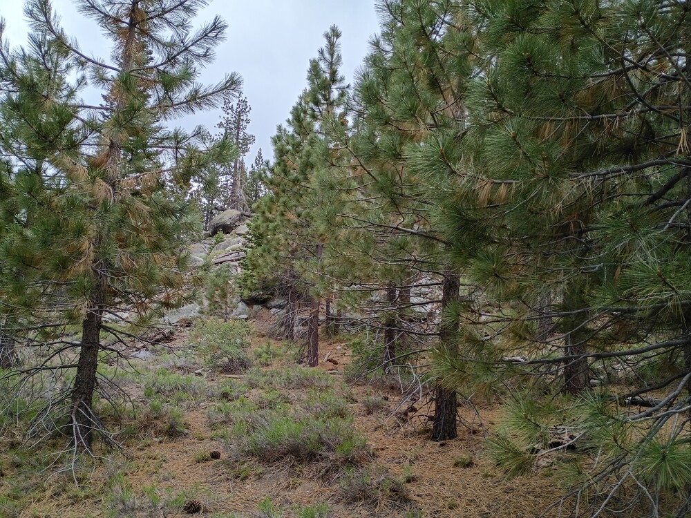
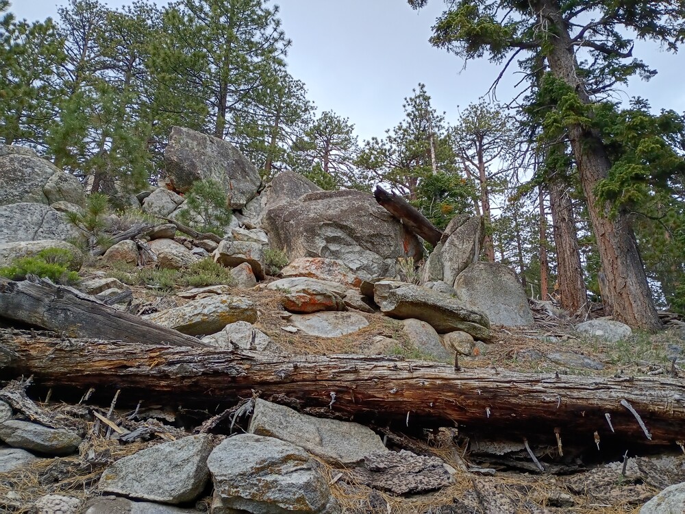
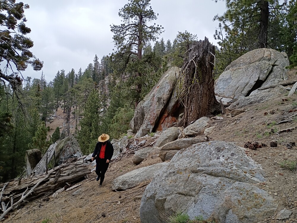
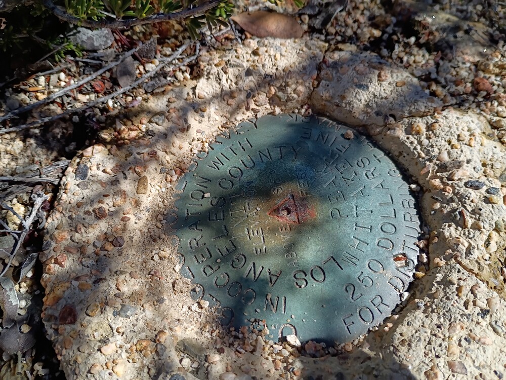
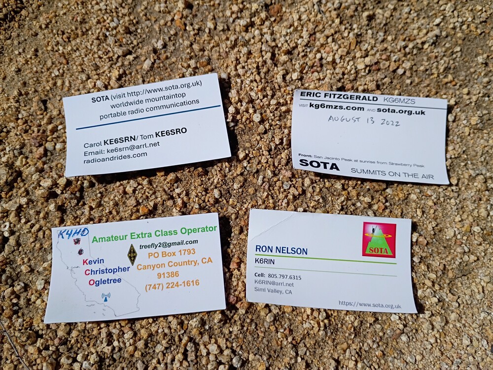
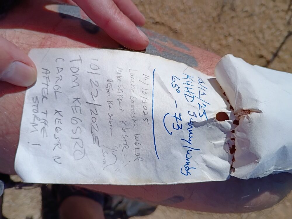
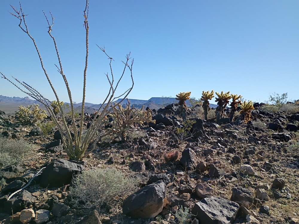
I hiked along a faint use trail over the ridge which was super overgrown. I should bring clippers next time to thin out the trail. Wear long pants unless you like getting mauled by plants. At the top is a small clearing and a benchmark, with a register hidden in a rock pile. While setting up, I had my radio tuned at 144.100 CW without an antenna connected and heard KE6SRN crack through at S9. Easy S2S with SRN, and SRO! Continuing on 2M CW resulted in additional contacts for the 2026 2M challenge. After exhausting chasers, I jumped on 17M for a few more QSOs. By this point it was starting to get hot, so I packed up and headed down the way I came. Glad to finally get this summit activated!
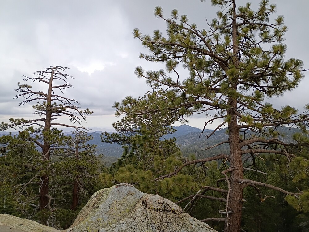
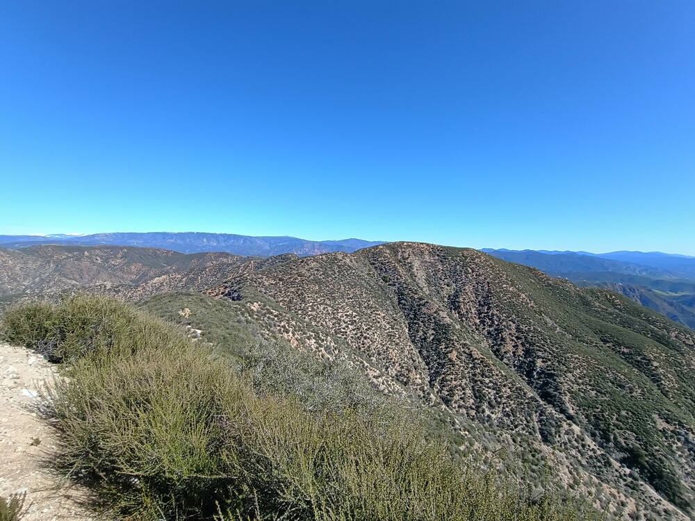
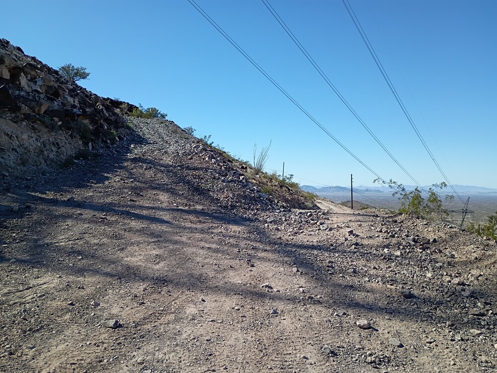
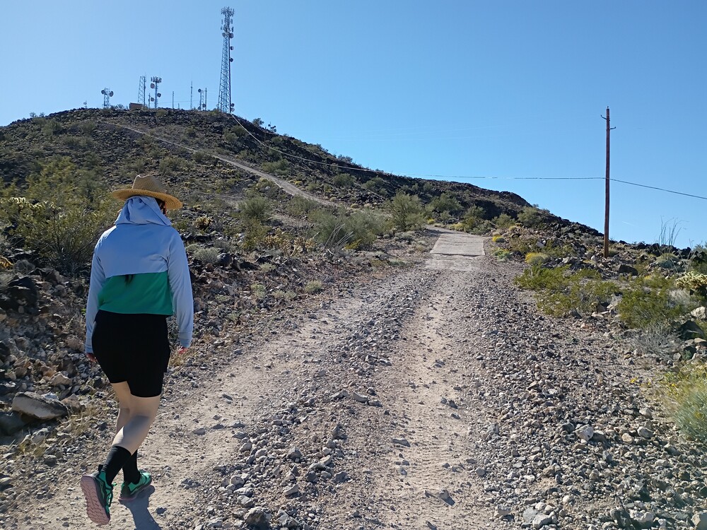
The road up, with my bike in a deep erosion channelThis is not the summitView of the summit from the communications site.BenchmarkPrevious activatorsSummit register. Lots of SOTA folks in there!
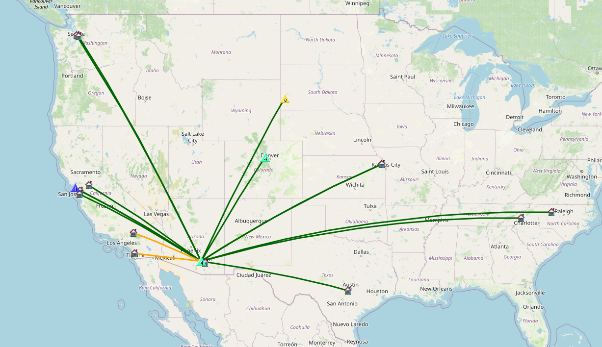
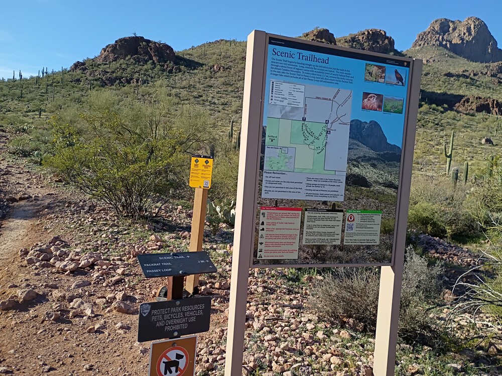
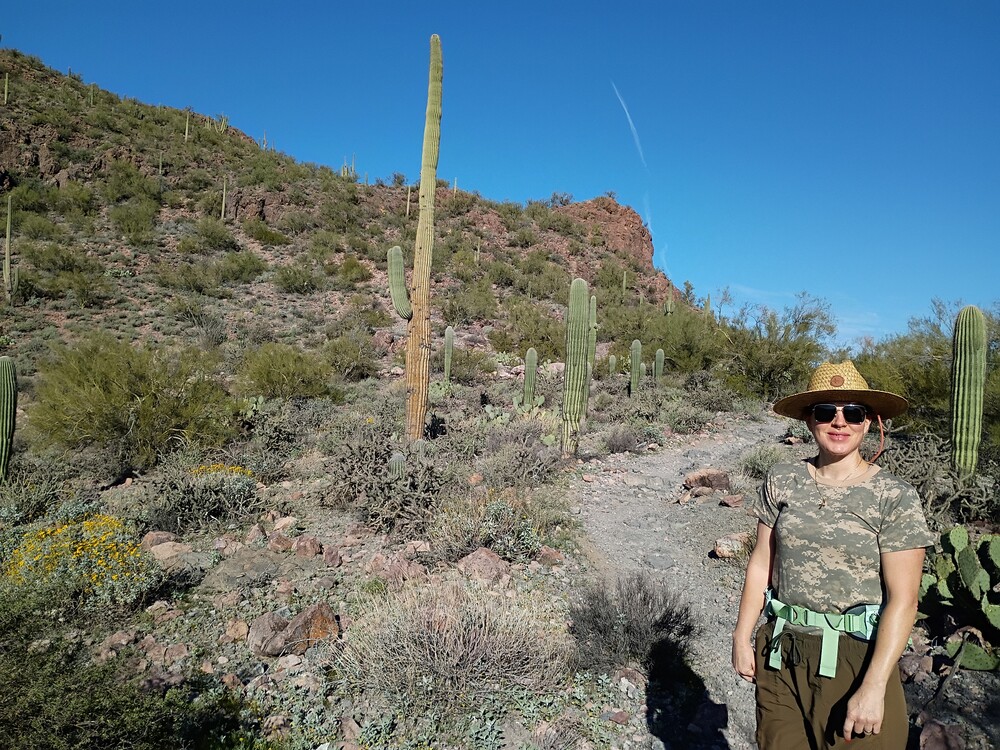
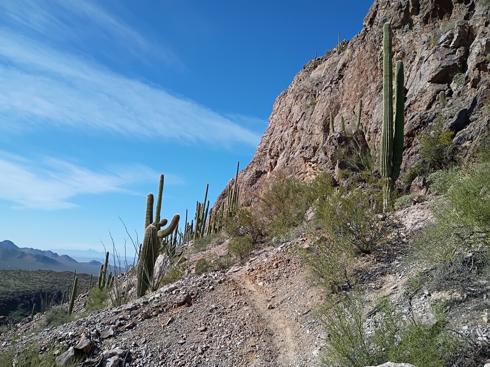
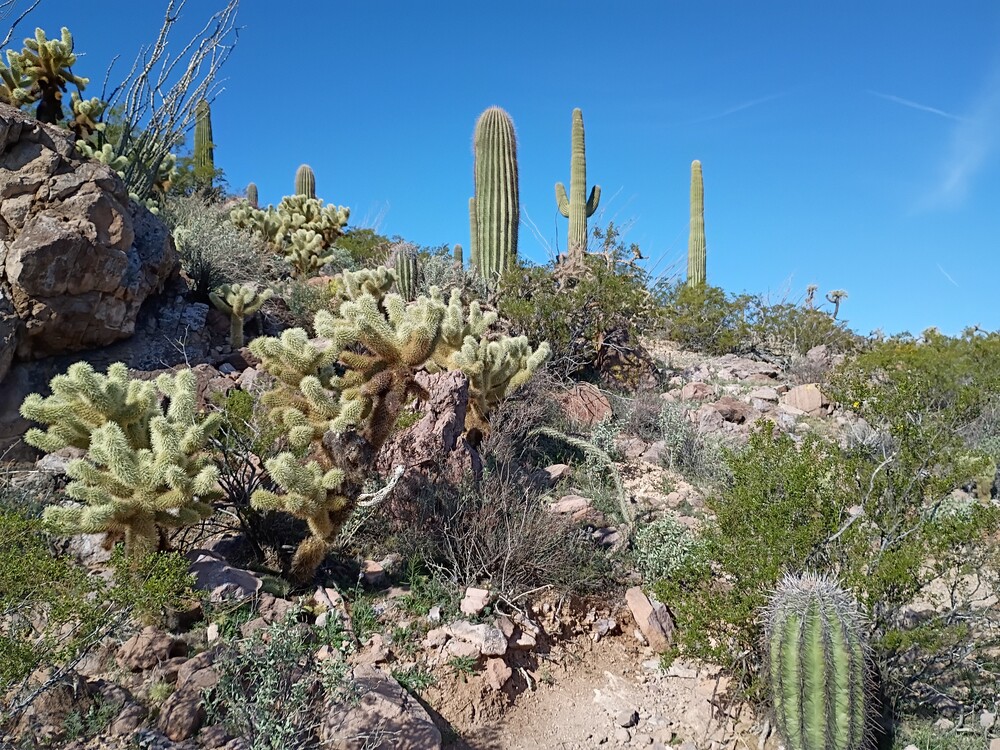
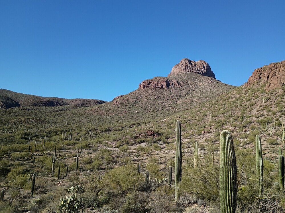
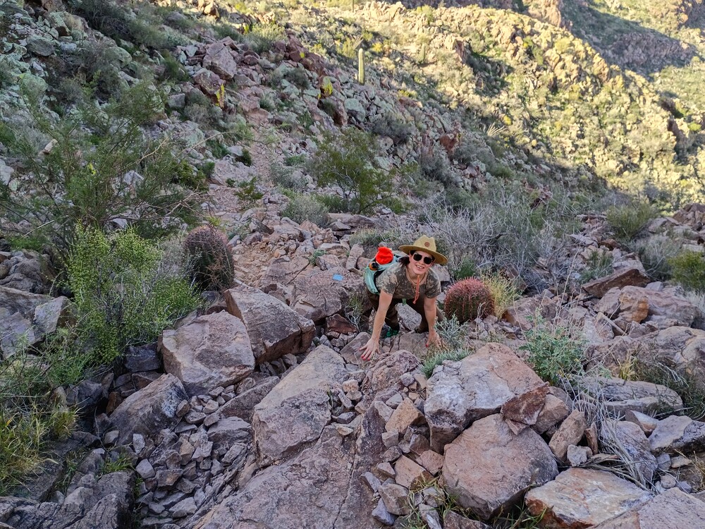
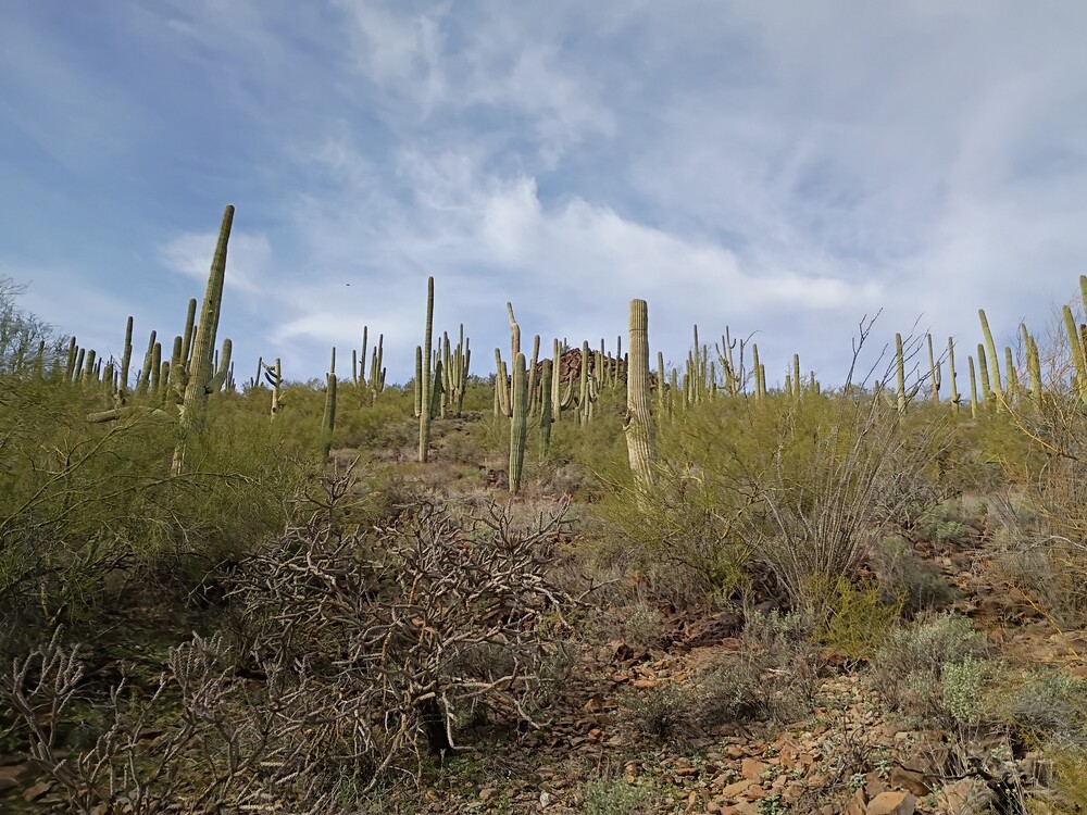
After making some coffee, Kel and I left our accommodations in Iron Horse and headed out to Saguaro National Park West to hike Safford Peak. This is also qualifies for POTA US-0060. We started at a popular trailhead at the end of North Scenic Drive, slathered on some sunscreen and got on our way. The trail is well defined and starts gaining elevation quickly, weaving through the beautiful landscape of the Sonoran Desert. The trail eventually becomes a class 2 scramble to reach the summit. At the top is a register and plenty of options to plant a mast. Using a KH1 transceiver with the internal whip on 17M resulted in plenty of QSOs. I added a loading coil and picked up a few more on 40M. Tried 2M FM but didn’t have any takers. The hike down was the reverse of the accent, however, looking at a map post hike shows there could be an opportunity for a small loop through Sanctuary Cove? Overall, beautiful area, nice hike, great day to be out in the mountains. I’d do this one again.
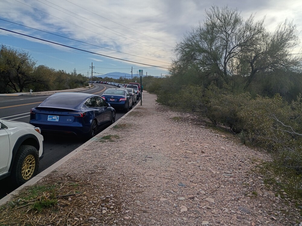
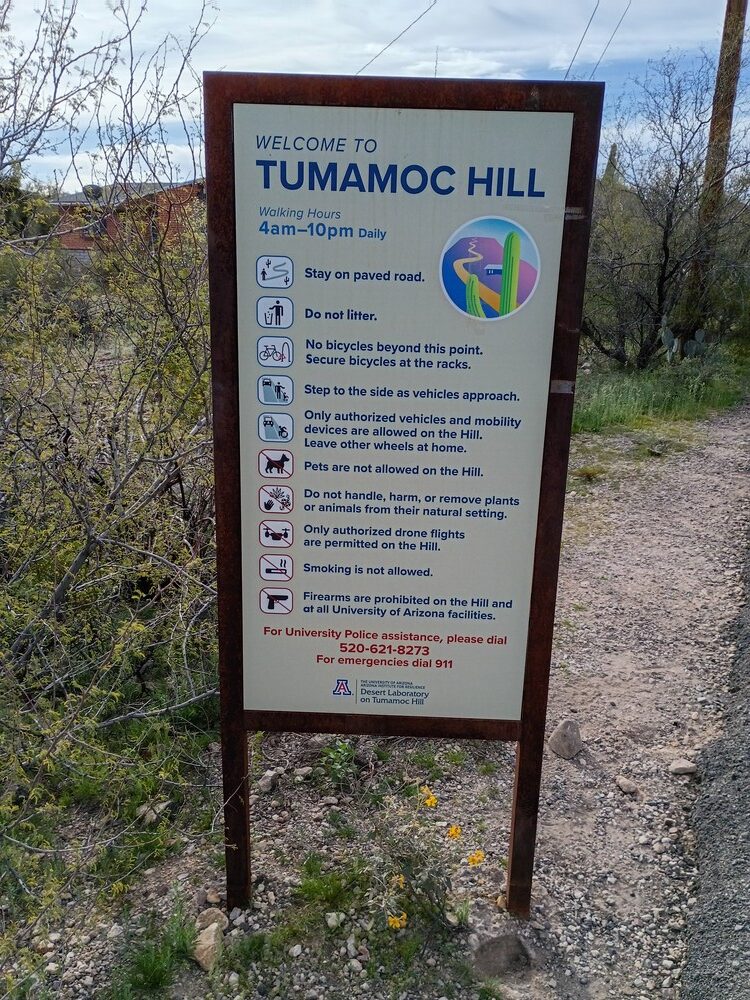
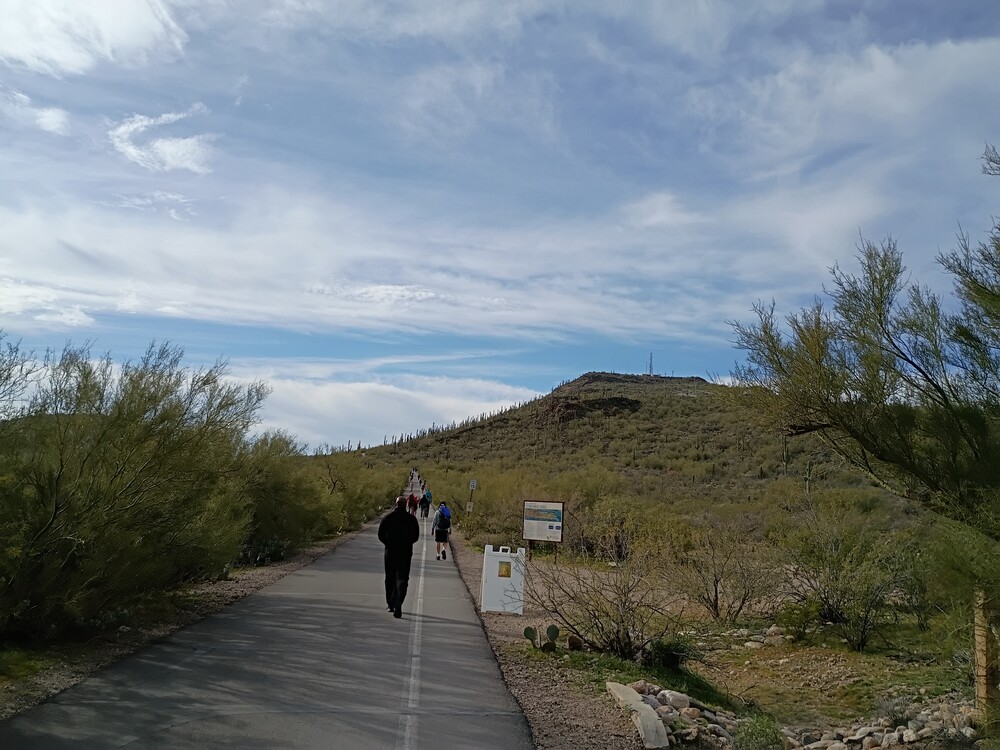
If you are a regular reader of this blog you would notice that this post lacks a quick video from the top of the summit. That’s because I forgot to record one! Tumamoc Hill is close to downtown Tucson, and it would have been a nice bike ride to the trailhead from where we was staying in Iron Horse. There is no cycling allowed on the trail up, but a rack to lock up is available at the bottom. Not knowing this, Kel and I drove there and parked along West Akalam Road. Turns out this is a very popular place to walk! It was packed! The trail up is completely paved, weaving through the flora. There is some kind of research center halfway up which had some fun things to look at,
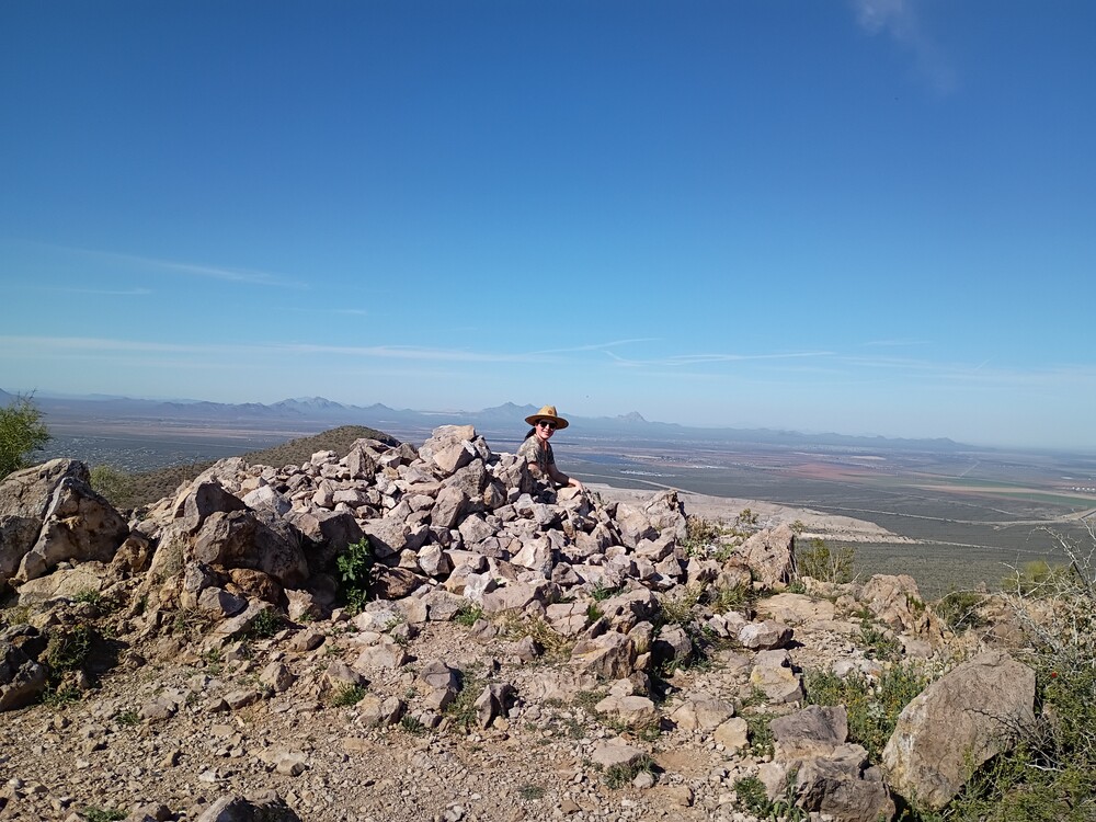
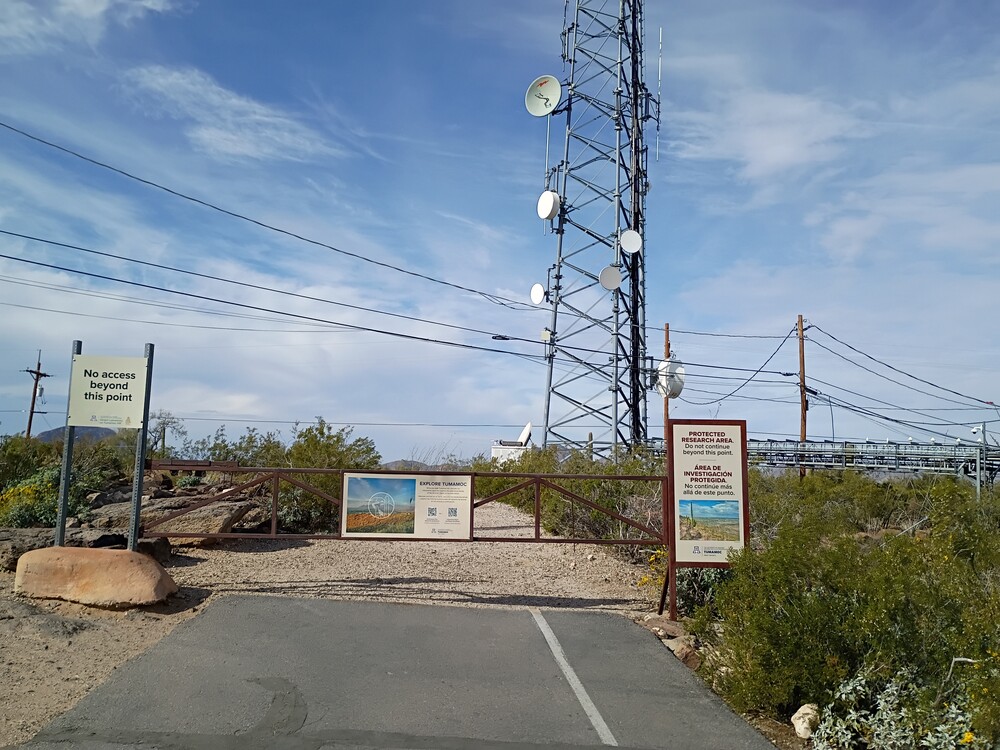
At the top is a commercial communications installation with no access to the actual summit, however, a big chunk of the public path is in the activation zone. I didn’t follow KK1J’s advise and ask permission to operate from Benjamin T. Wilder, Director. I could see how putting up a 40M antenna up here would be frowned upon due to the congestion of visitors. As such, I sat on a rock in the AZ and used my KH1 and internal whip to activate the summit, working 40M and 15M CW. I also called out on 2M FM, multiple times and got zero calls, which was surprising.
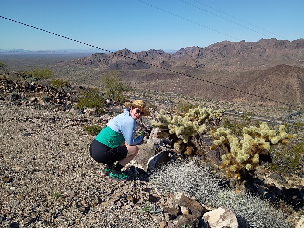
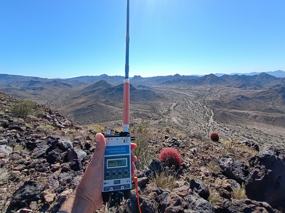
Kel and I were driving out to Tucson on interstate 10 for the gem show. Guadalupe Mountain is East of Quartzsite with easy access from the freeway. It’s also a good spot to stop and walk around after being in a car for a few hours. Get off at Gold Nugget Rd, then follow it East until you get to the communications site access road, which goes to the summit. We drove a Subaru about half way up before it got too rutted out to continue. From there, it’s a steep hike up. The last bit it of road is paved which makes it easier. At the top are several communication shelters. I found a rock off to the side to operate from, and gave 2M FM a shot, with two QSOs into Quartzsite. Worked 17M with one S2S. Got a text from another SOTA op needing a complete, so I moved to 40M using the whip and coil on the KH1. That worked pretty well! There are a lot of unactivated summits around Quartzsite, and maybe it’s worth a dedicated trip out there to bag several of them.
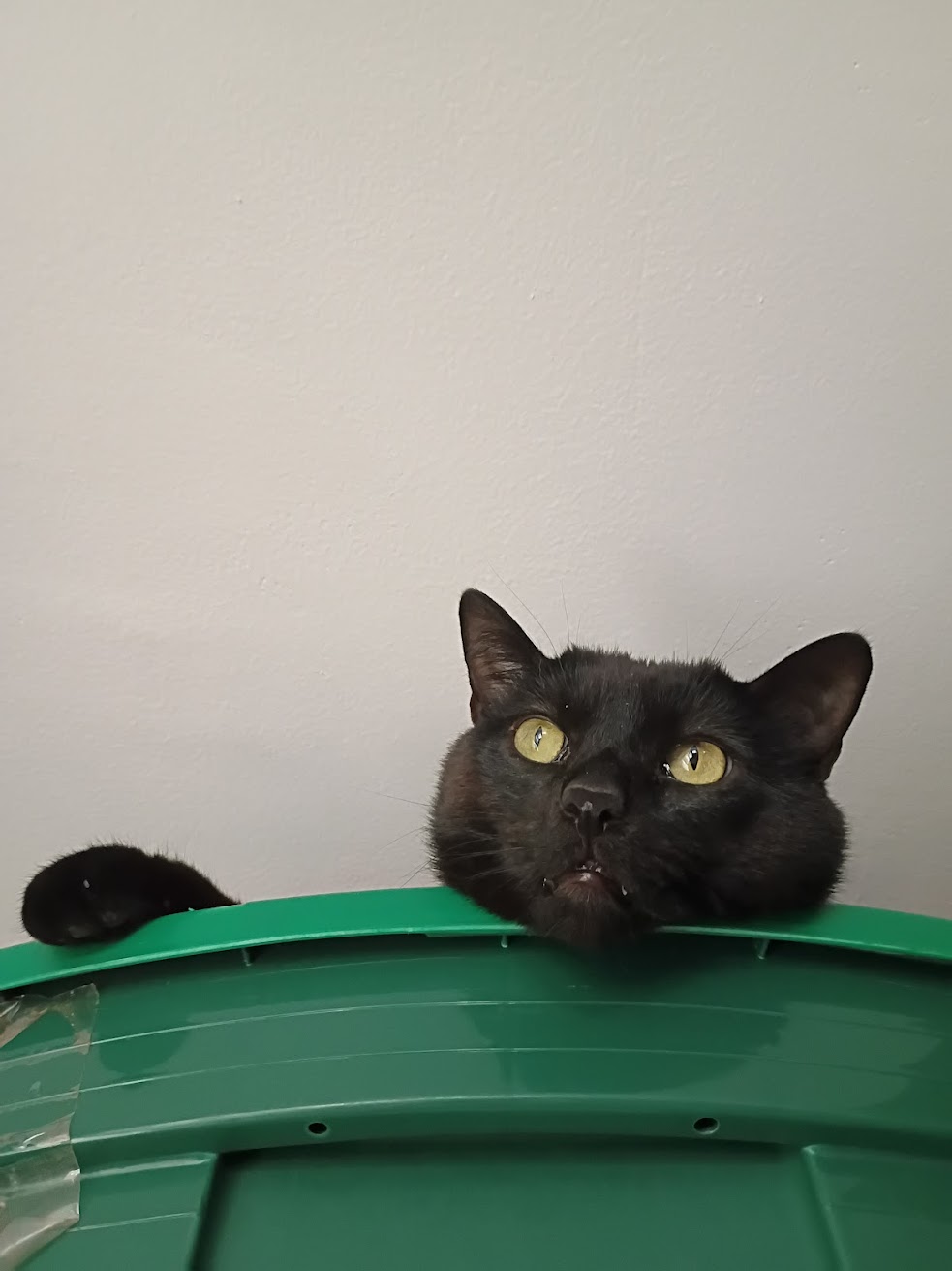
Really, this is a test post to see if I fixed my WordPress Activitypub plugin. It’s been broken for 6 months and I think it’s finally fixed! The cat is real, and he really is the best cat ever!
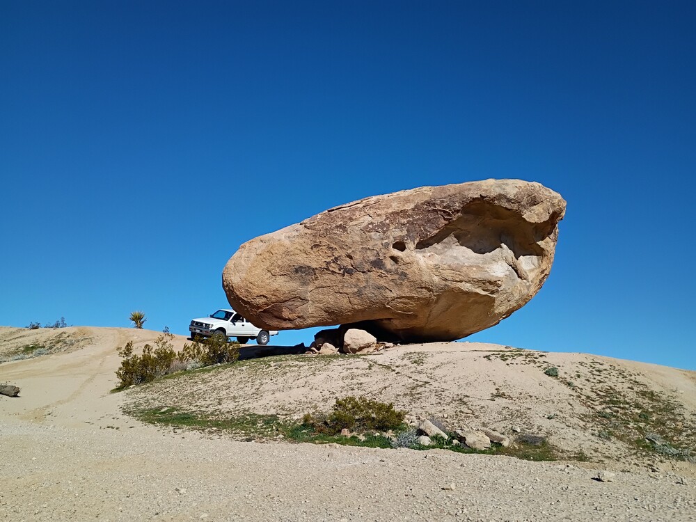
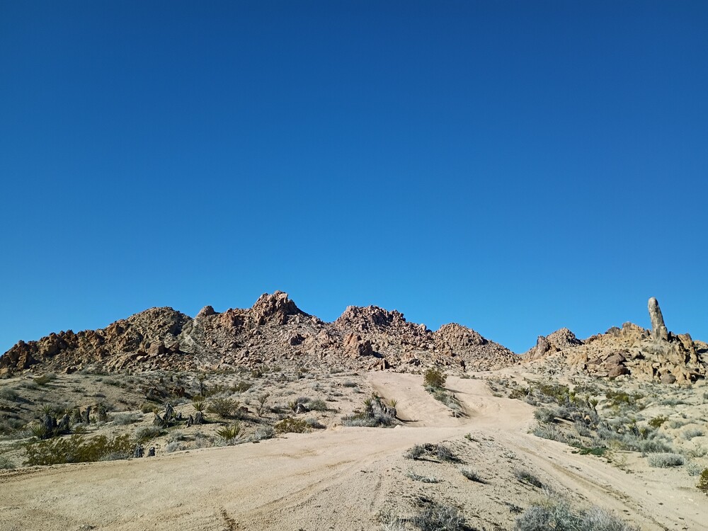
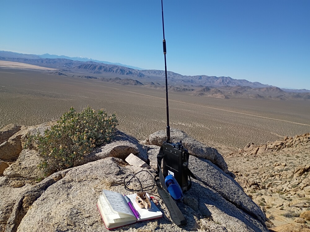
This was my first activation for SoCal Winter Field Day. I woke up early and wasted no time leaving Los Angeles to get to this first summit, but I did stop somewhere off Bear Valley Road for fuel and a breakfast burrito. Getting to the starting point was pretty easy. From Barstow Rd, turn east on Haynes Rd, then make a left on Huff Rd. That will run straight into Power Line Rd. Turn right and take it as close to the summit as you can. It gets kinda rocky the further you go. 4633 is in an area where people 4×4, so the earth is pretty torn up. Park where you can. There is also a popular rock climbing area known as “Hercules Finger”.
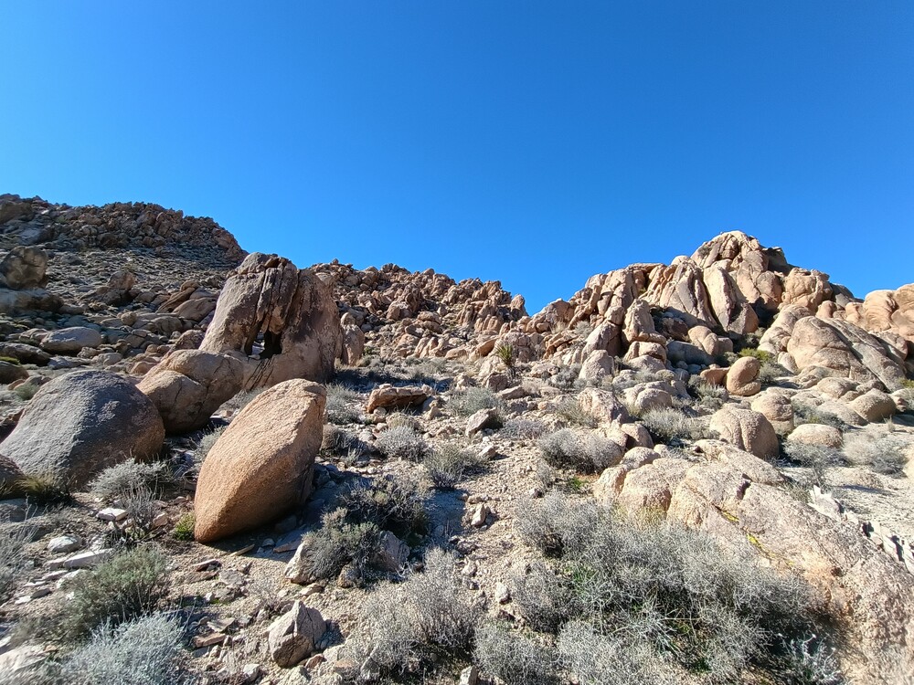
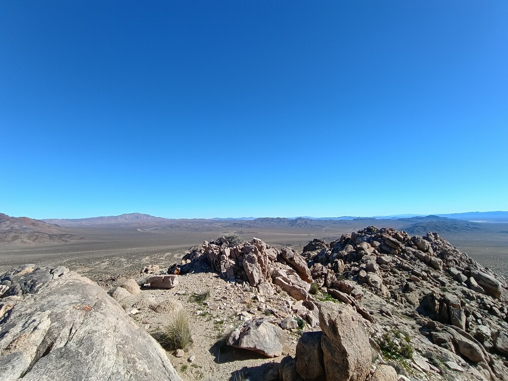
I followed a moto trail into the rocks for a bit before turning west up to the summit. This was a scramble, hopping over boulders and navigating around large rock formations. Once at the top, I setup 2M CW and heard Mark calling CQ from a summit; 599 both ways. I worked HF high bands and tore down after exhausting chasers. From the top, I could see East Ord. It was the closest summit to me, so I figured I would hike it next. Hiking down, I met two folks climbing Hercules Finger. They asked me if they could borrow a lighter to smoke a doobie. haha. I had a lighter in my truck I gave them to keep so they could continue to enjoy their day.
If you are a frequent visitor to this blog, you probably know I take a ~45 second video of summits and post them here. I forgot to take one, so I’m writing this instead.
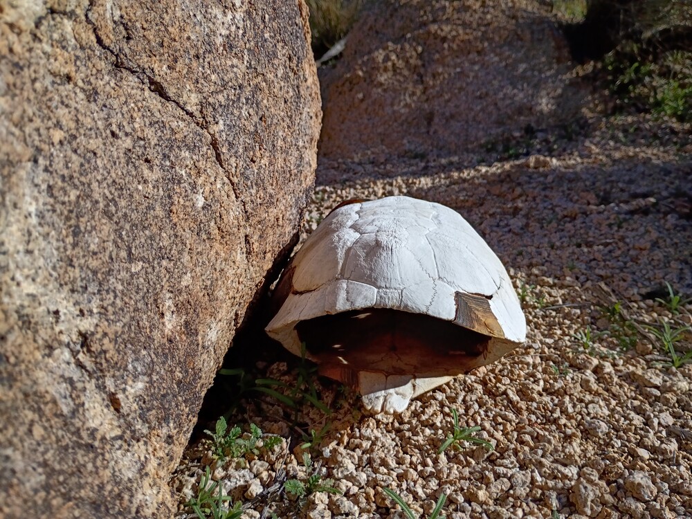
This rock fits in my truck, no problem.Where I started, Hercules Finger, a popular rock climb is over on the right.Typical viewsPoor tortoiseSummit stationAt the top
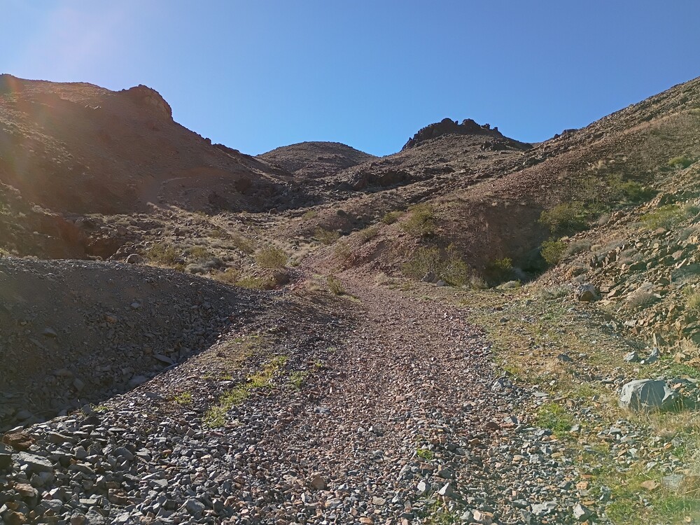
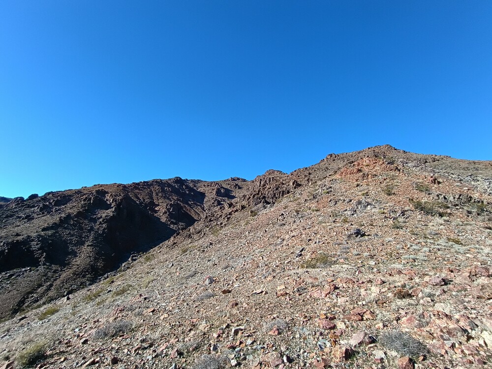
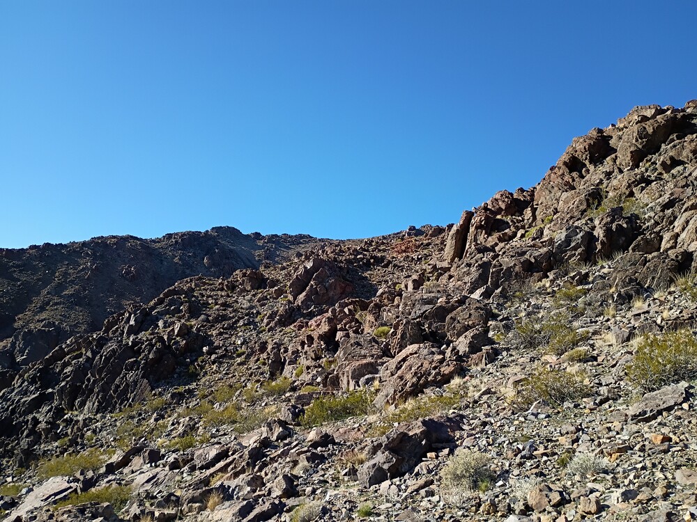
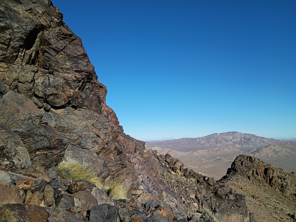
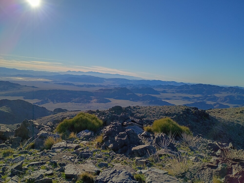
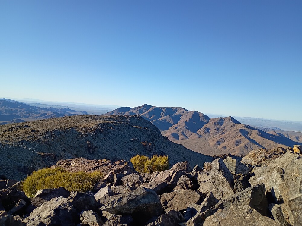
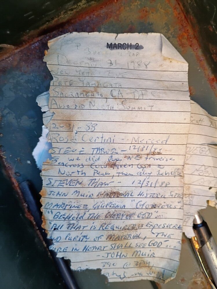
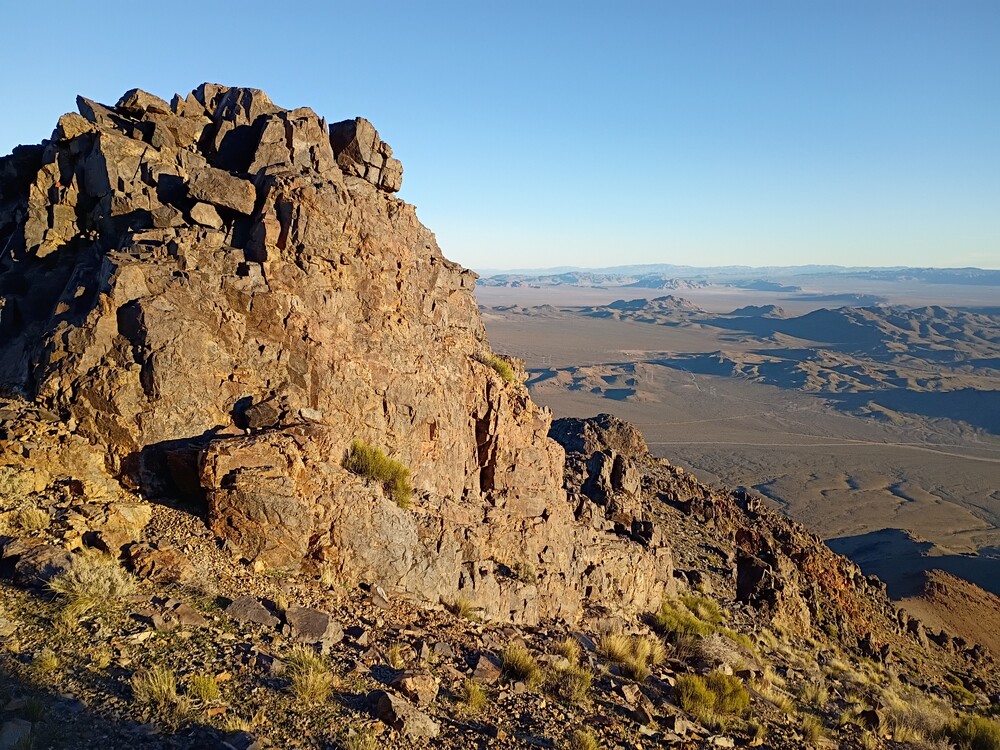
This was my second hike of the day, and second hike for the SoCal Winter SOTA fest. On the drive out to East Ord, I wasn’t paying attention to my map so I ended up in the wrong place, which is listed on a map as Grand View Mine. This would be a nice place to camp, as KB9ENS mentioned in his trip report. I wanted to start my hike from the north so I back tracked and found my way to Guzzler, as it’s listed on the map. There is no trail, and the hike starts off pretty steep. There are rock formations which make route finding tricky; I needed to backtrack several times to find a safer route. Did I mention it is steep? My definition of steep is 1000 feet of gain in 1 mile. This was something like 1800 feet of gain in a bit over a mile. It took much longer than I thought to reach the summit. At the top there was a register going back to 1988. I signed it and setup the Yaesu 817 for 2M. Made some local S2S over CW, and a few more on FM. There was a bit more time before 00:00 zulu, so I quickly setup HF, 20M and worked that as fast I could.
Since I started later than I liked, and it took me longer to reach the summit than anticipated, I was worried about losing daylight. I packed up everything and started heading down. The steep terrain and impact was hurting my knees, but I needed to beat the sun so I pushed through. About half way down, my knees really started hurting; stabbing knife pain. My stride shortened and I took breaks. The sun disappeared behind the mountains as the temperature dropped quickly. Soon, it was pitch black and the flashlight was in the truck. I still needed to navigate a dry waterfall and a wash, which was done by phone light. Luckily I was only in the dark for about 20 minutes. Had I not accidentally gone to Grand View, my timing would have been perfect.
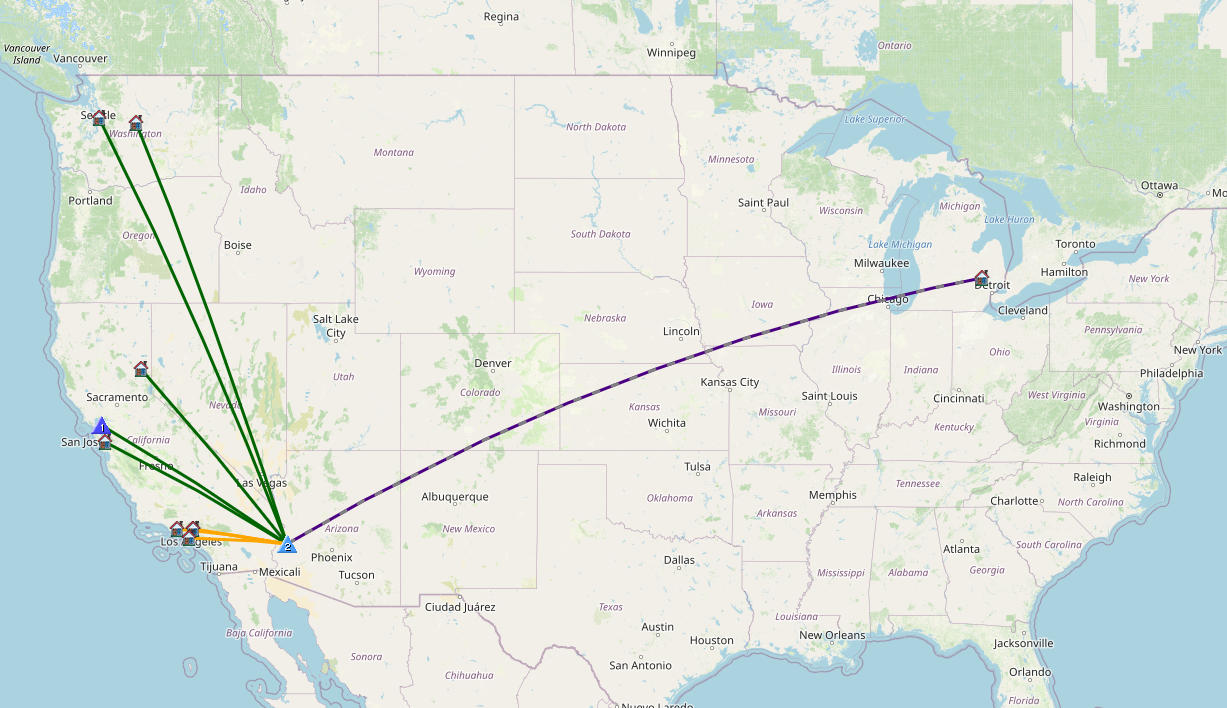
Date:16/01/2026 | Summit:W6/SD-013 (East Ord Mountain)
Time
Callsign
Band
Mode
Distance (km)
Notes
23:30
K6STR
144MHz
CW
115
S2S W6/ND-224 S599 R599
23:32
W6LOR
144MHz
CW
115
S2S W6/ND-224 S55N R599
23:36
KT5X
14MHz
CW
S55N R57N
23:38
K6MII
144MHz
FM
15
S2S W6/SD-443 S59 R59
23:45
N6JNY
144MHz
FM
S55 R55
23:47
K6HUB
144MHz
FM
S59 R59
23:52
KF7WI
14MHz
CW
S57N R55N
23:53
AC7P
14MHz
CW
S55N R55N
23:54
WW7D
14MHz
CW
S57N R55N
23:55
JG0AWE
14MHz
CW
S33N R33N
23:57
K9WO
14MHz
CW
S55N R44N
23:58
W0MNA
14MHz
CW
S55N R55N
23:59
K7SO
14MHz
CW
S55N R55N
23:59
W0ERI
14MHz
CW
S599 R599
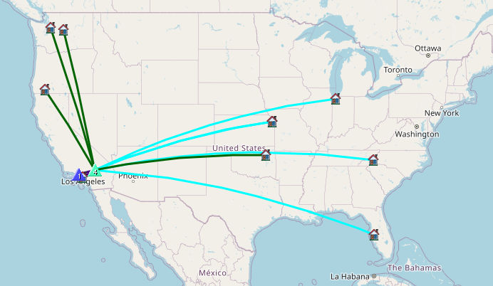
Date:17/01/2026 | Summit:W6/SD-013 (East Ord Mountain)
Time
Callsign
Band
Mode
Distance (km)
Notes
00:00
N4TU
14MHz
CW
S55N R42N
00:01
WU7H
14MHz
CW
S55N R54N
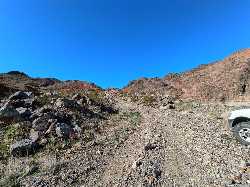
I parked here. You can’t tell from the photo, but the rocks ahead would break the truckShort hike along this road before dropping down into a dry waterfallUpMore upRock formations you need to navigate around.View from the top, I think that’s one of the other Ords.Summit Register