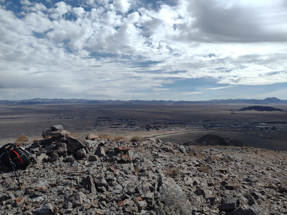
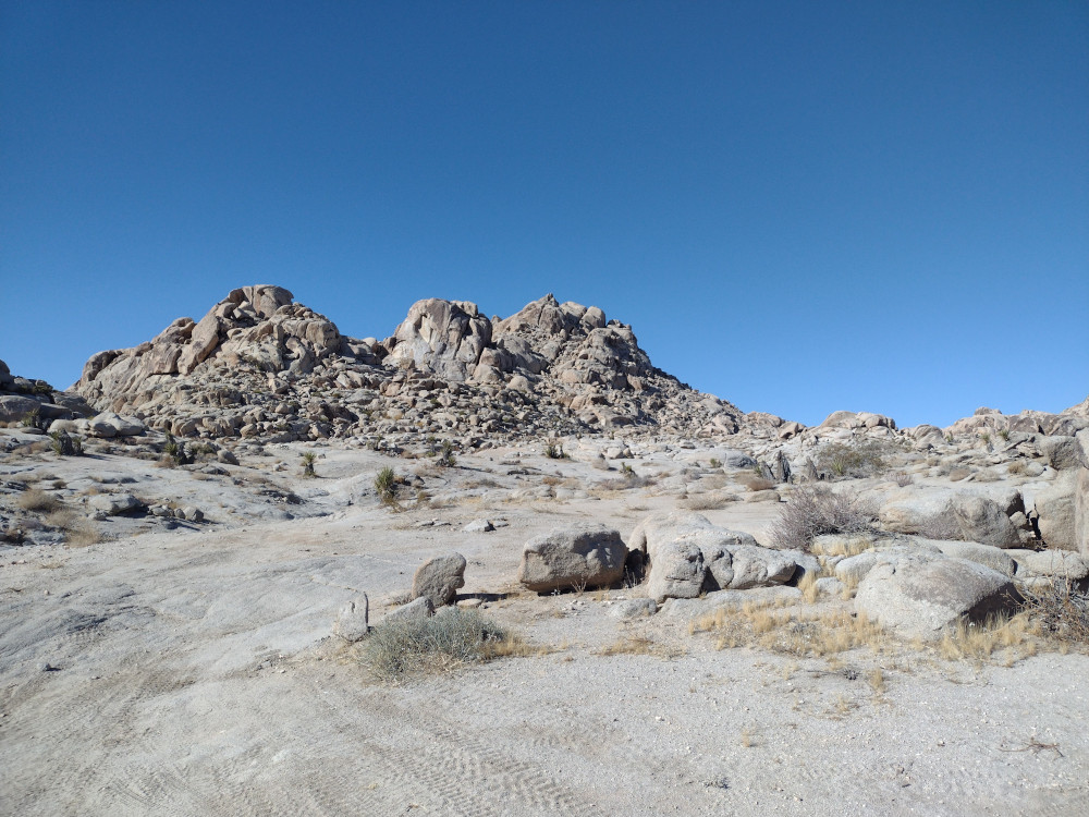
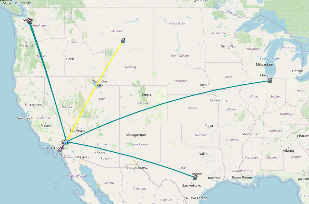
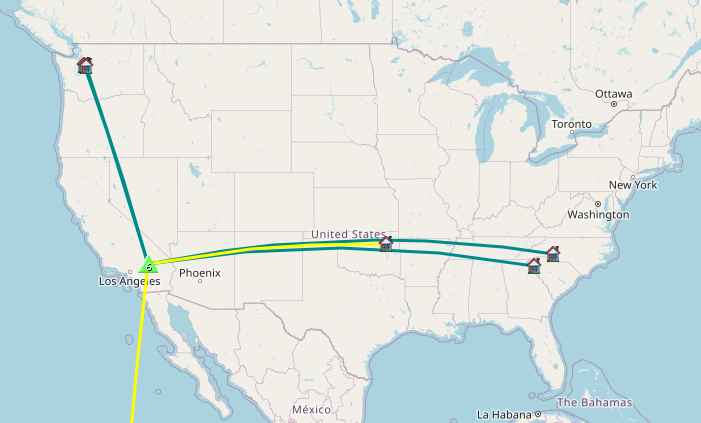
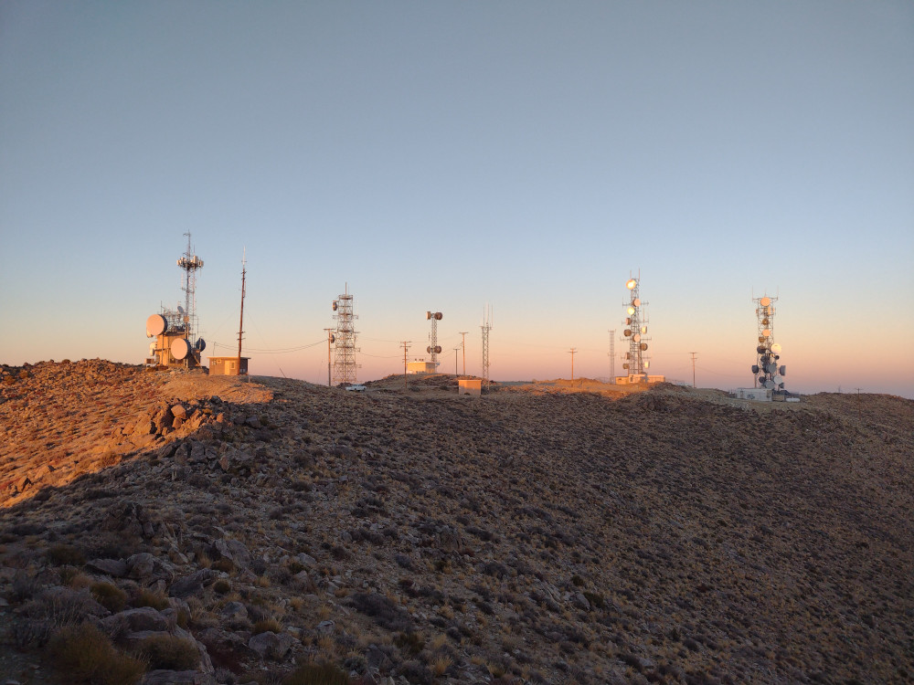
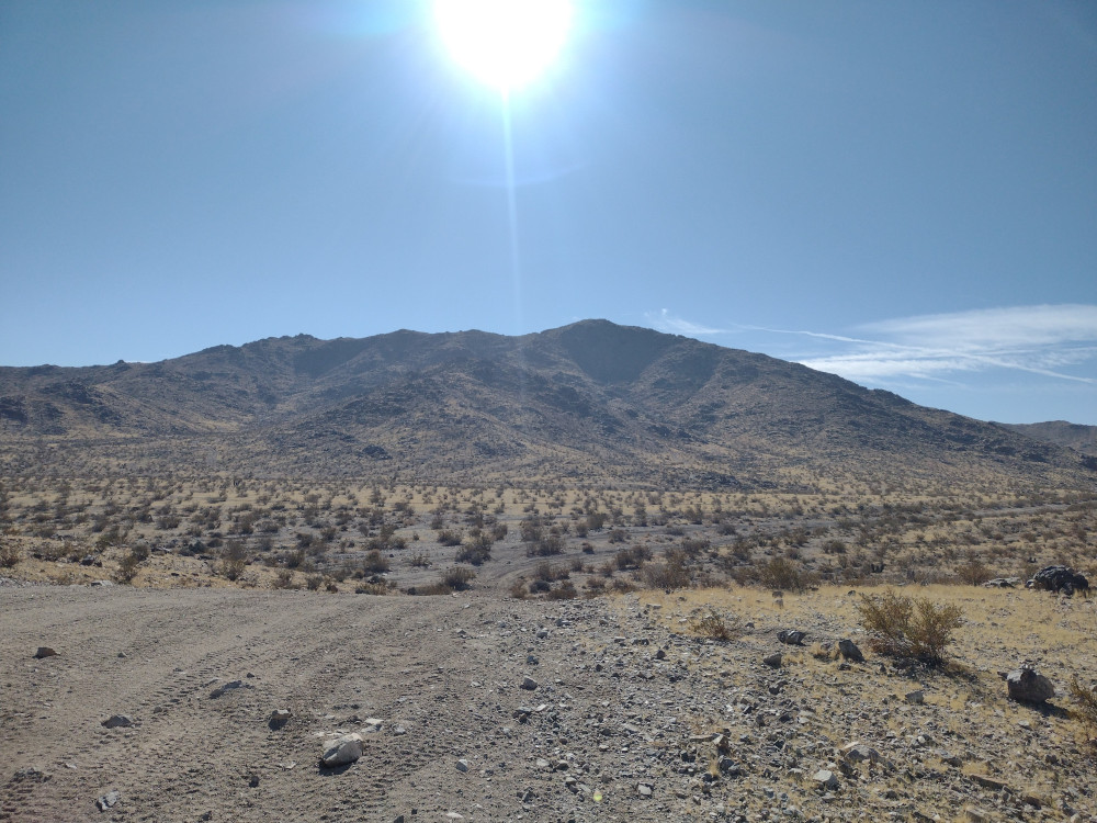
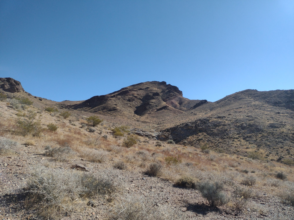
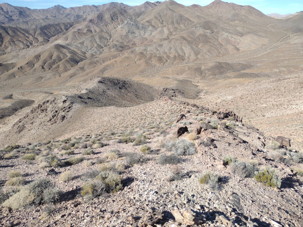
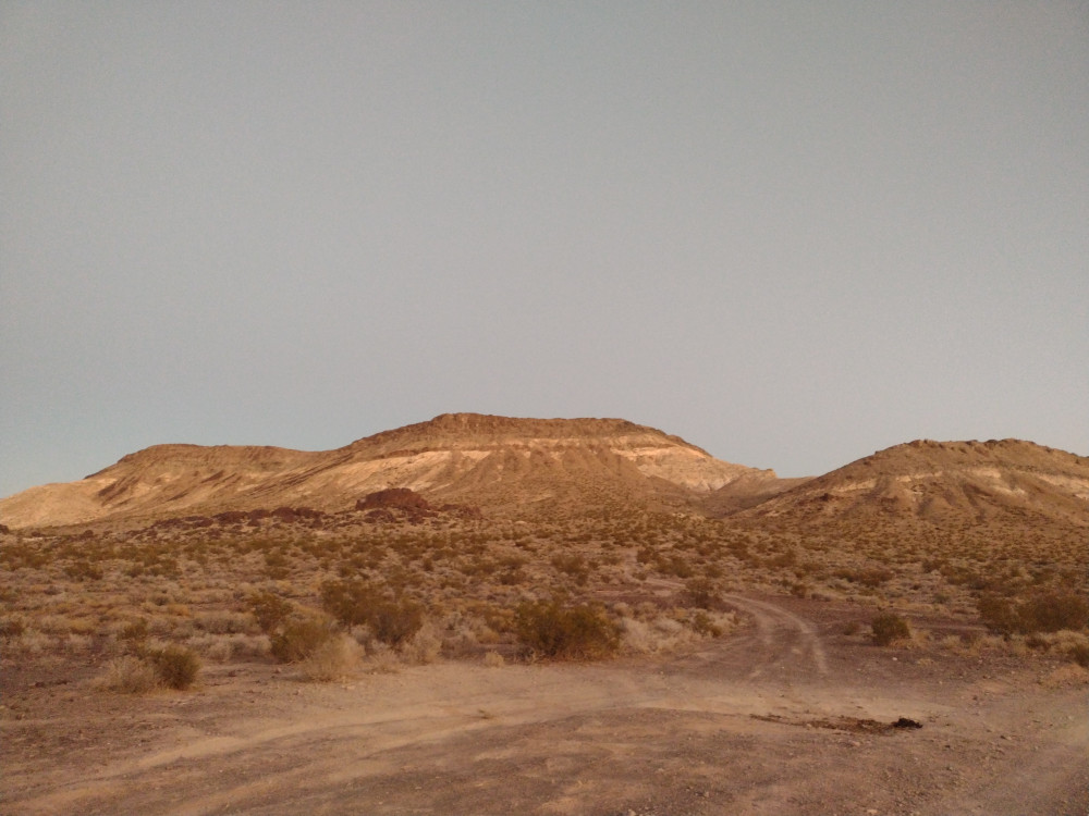
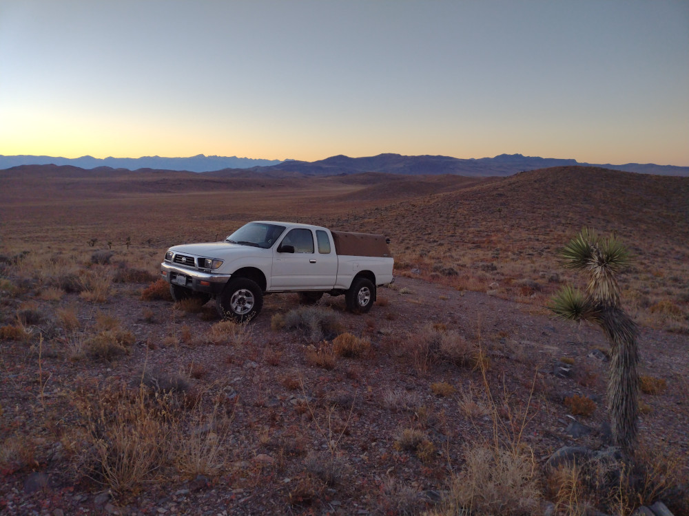
Otto Mountain is in Baker, CA, just off Interstate 15. There isn’t much in town except a bunch of gas stations for people traveling between Los Angeles, and Las Vegas – oh, and the biggest thermometer, ever. I’m sure many SOTA operators have passed this little mountain several times, perhaps even considered climbing it, but for some reason, it remained activation free. On a trip to Death Valley National Park, I decided to go for it. I needed to top off my gas tank anyways, pretty convenient!
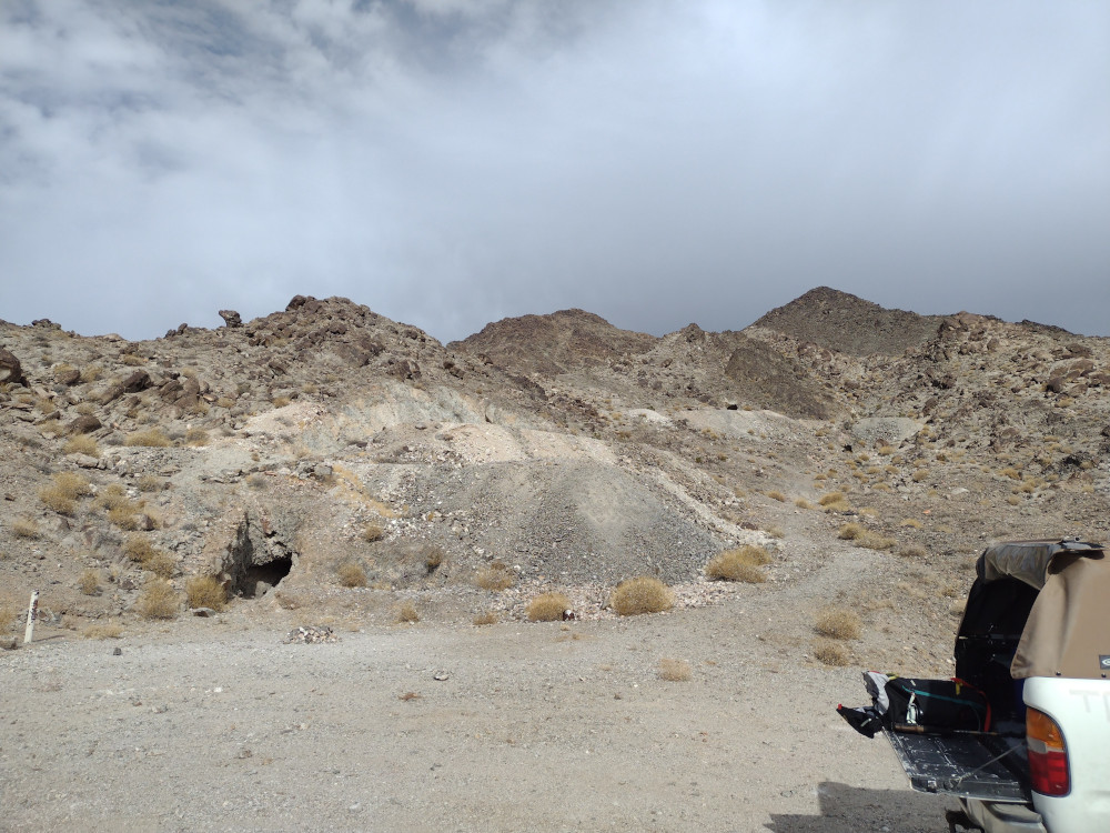
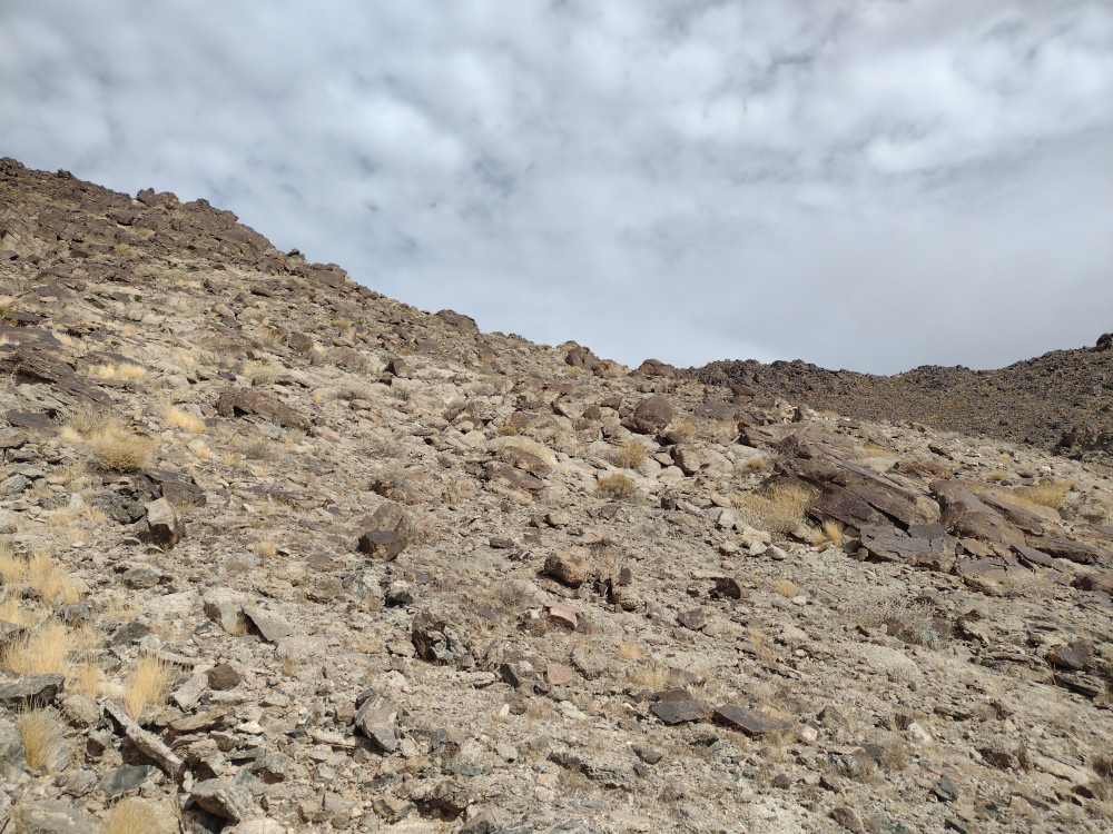
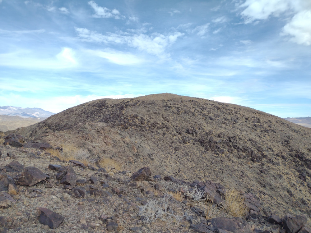
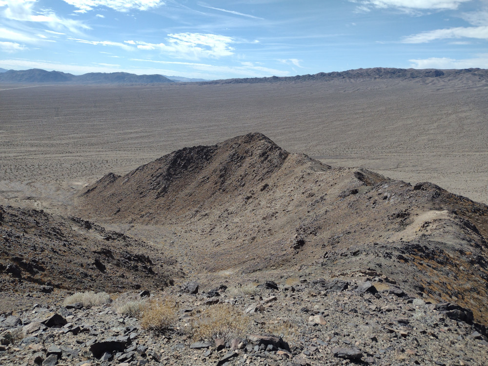
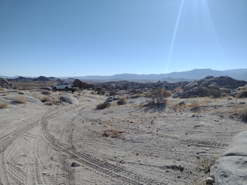
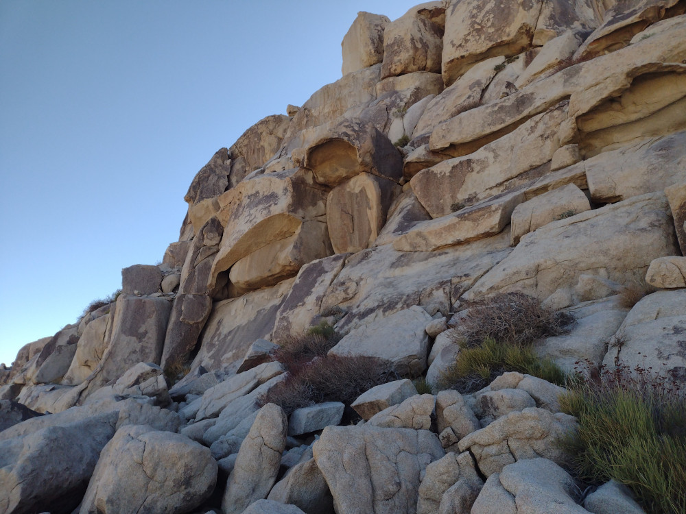
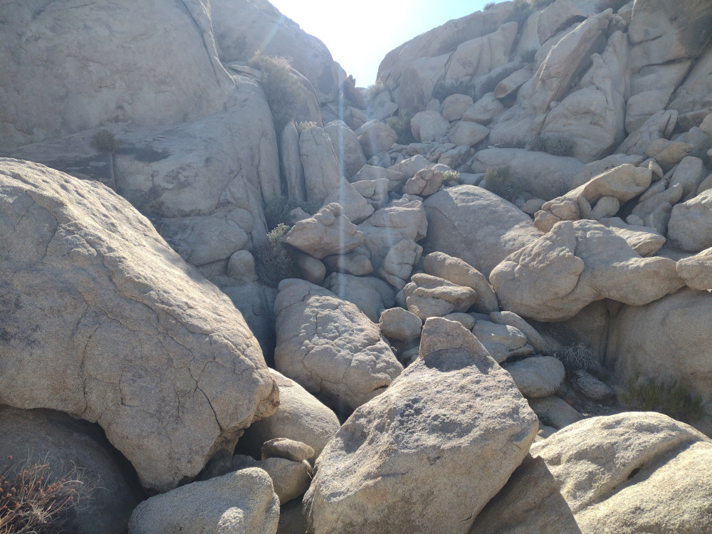
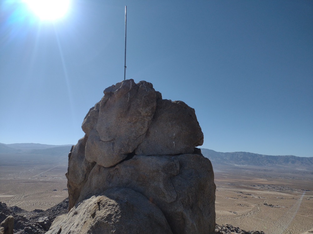
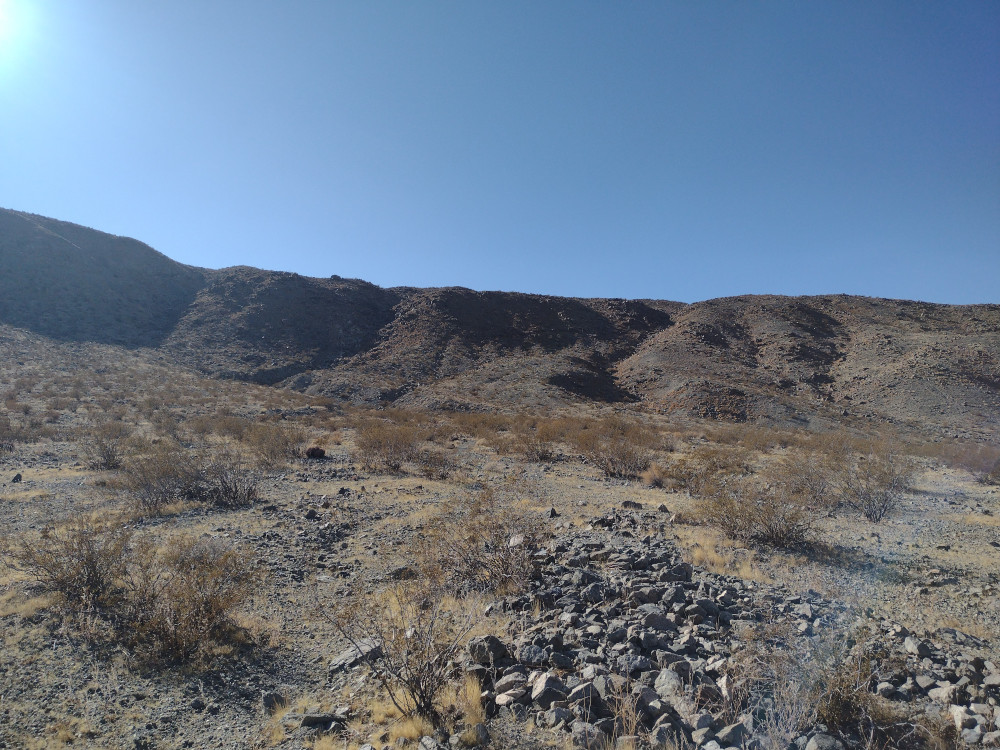
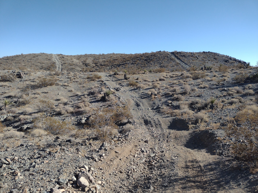
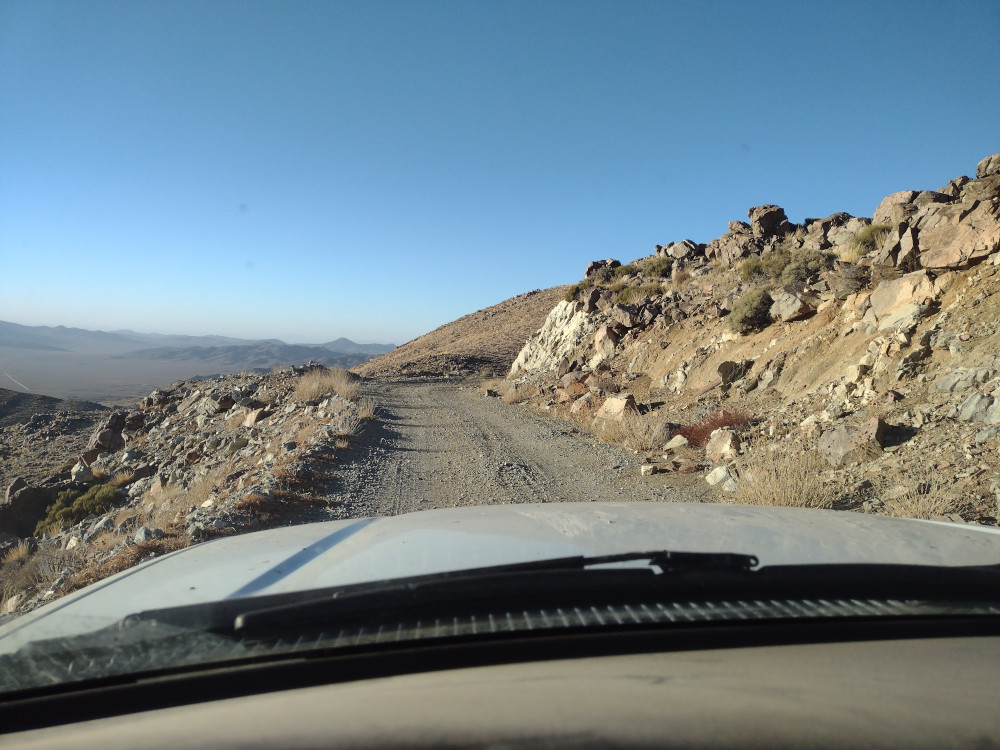
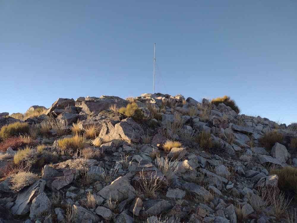
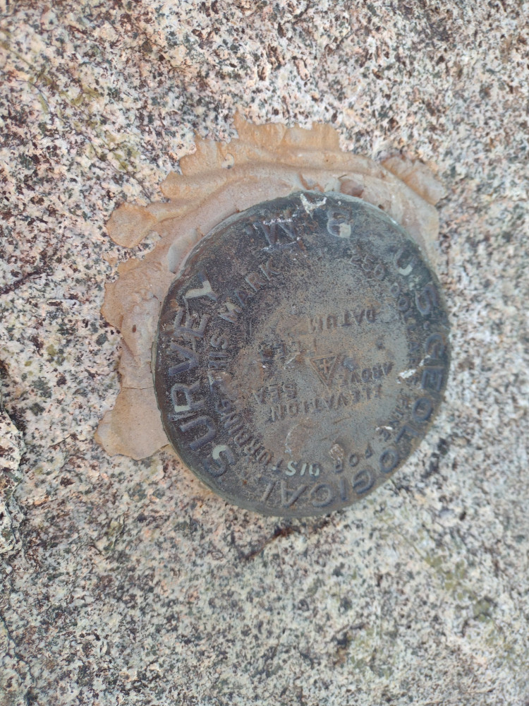
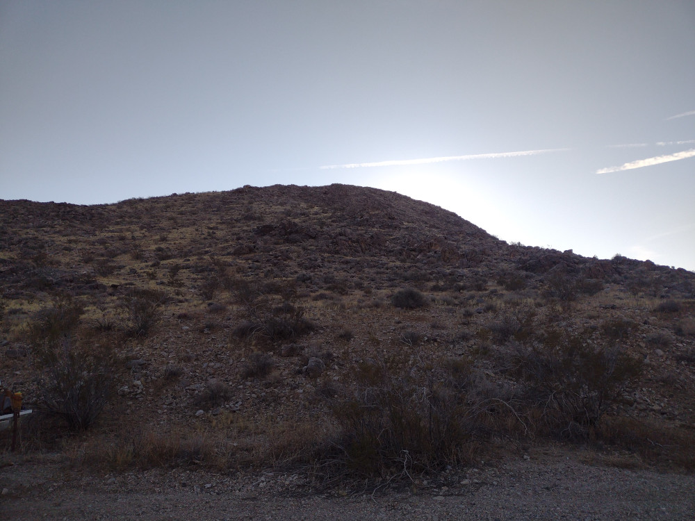
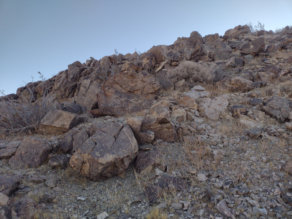
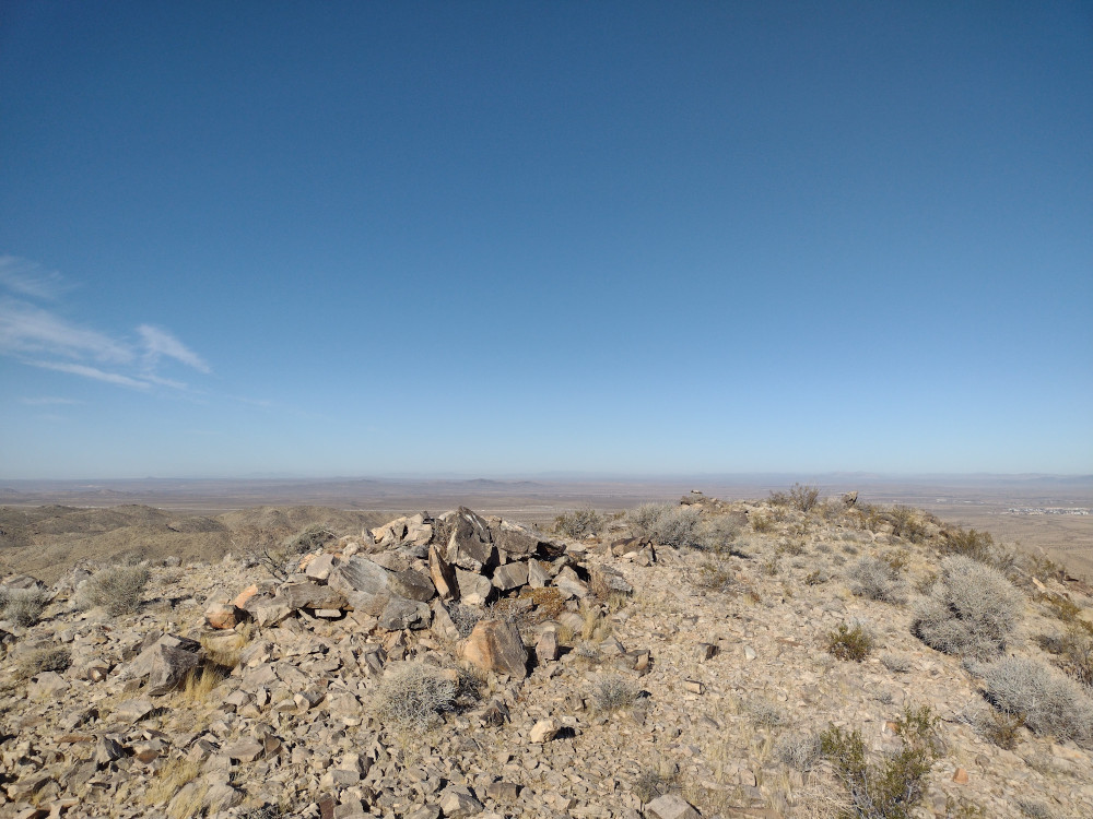
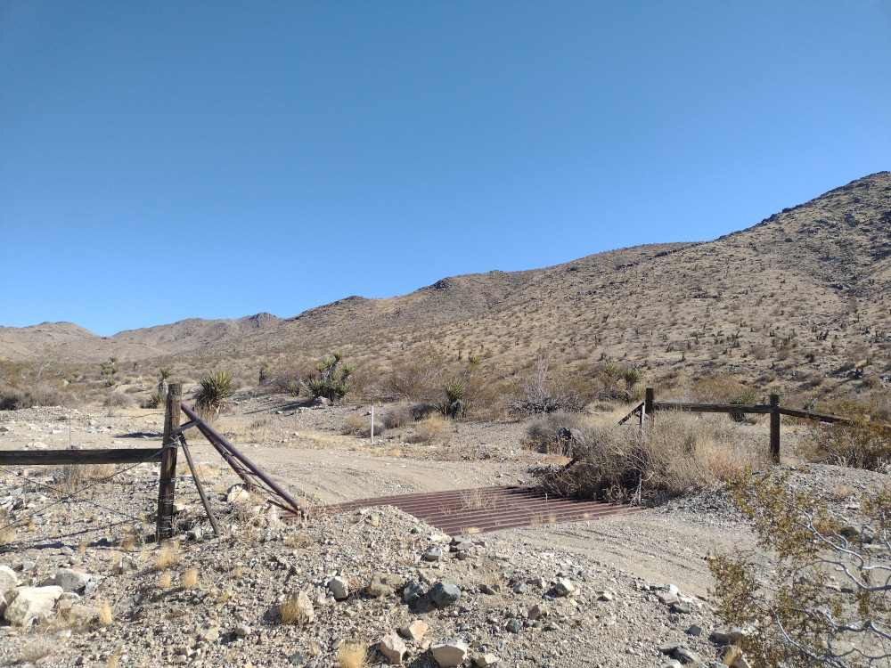
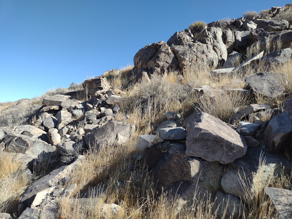
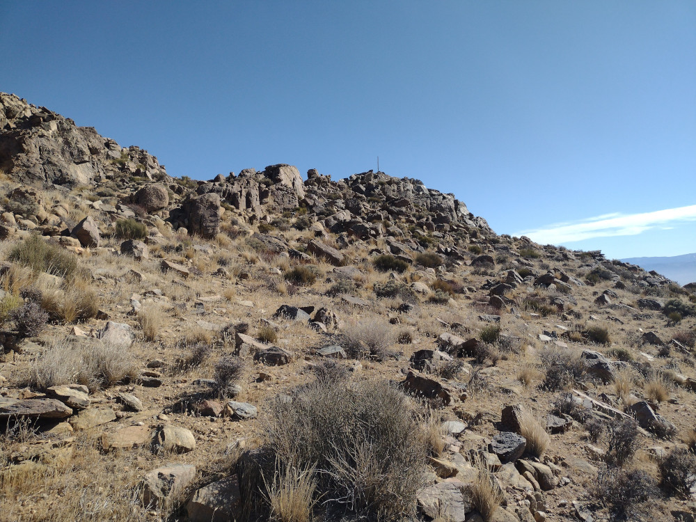
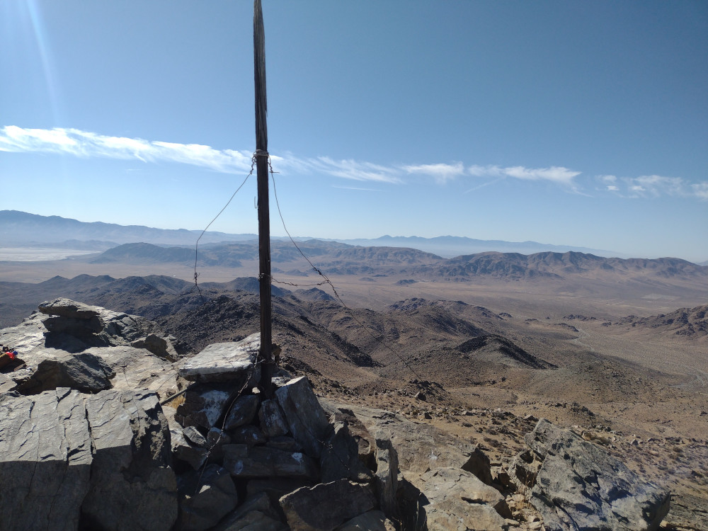
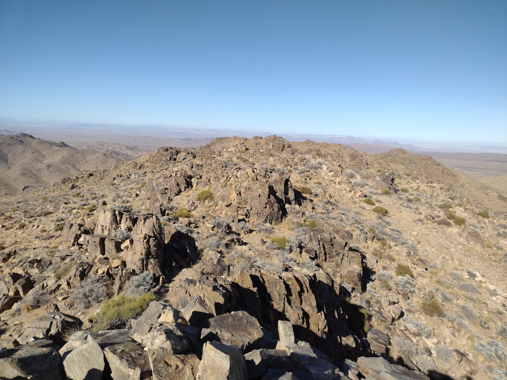
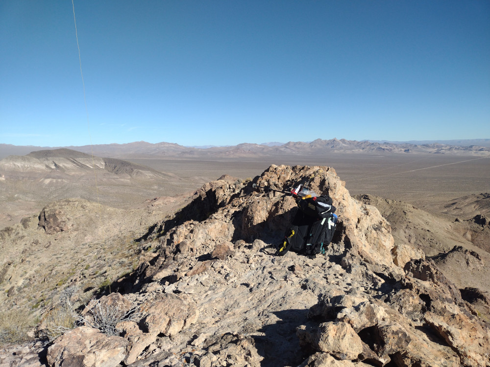
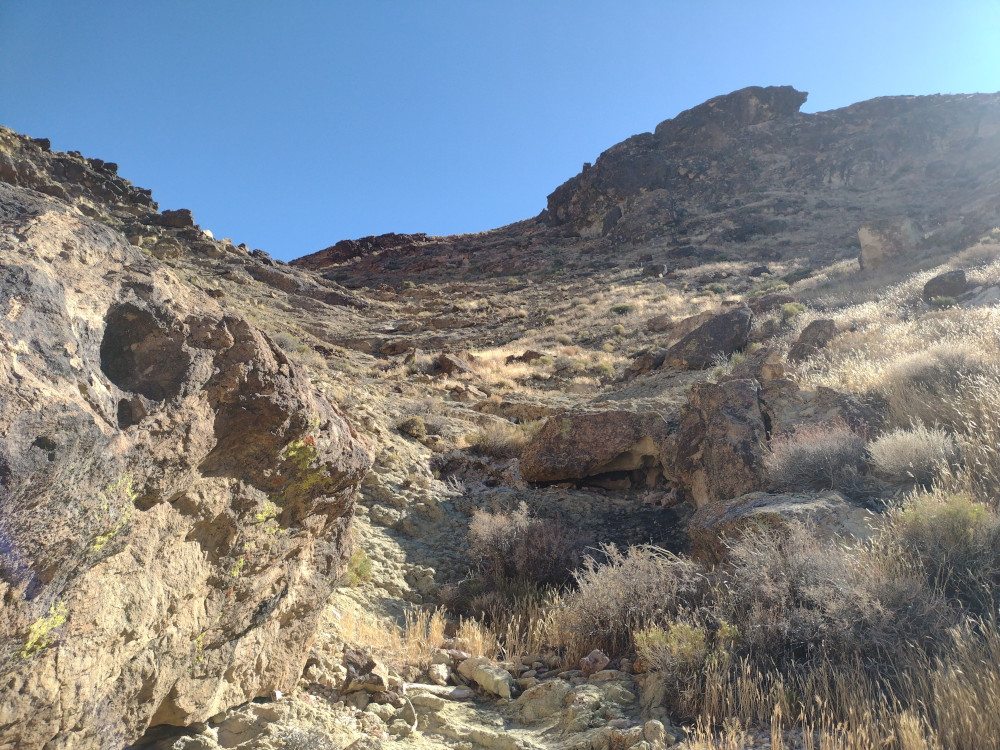
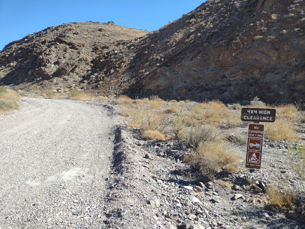
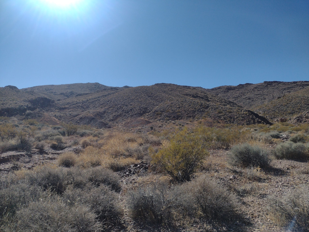
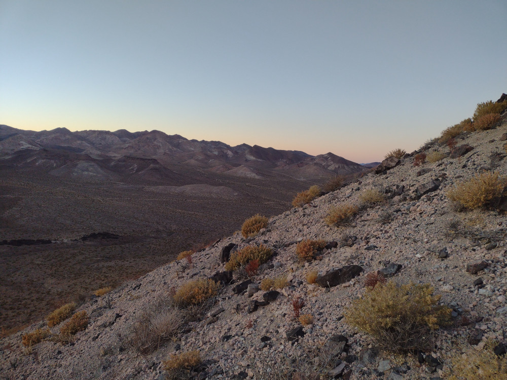
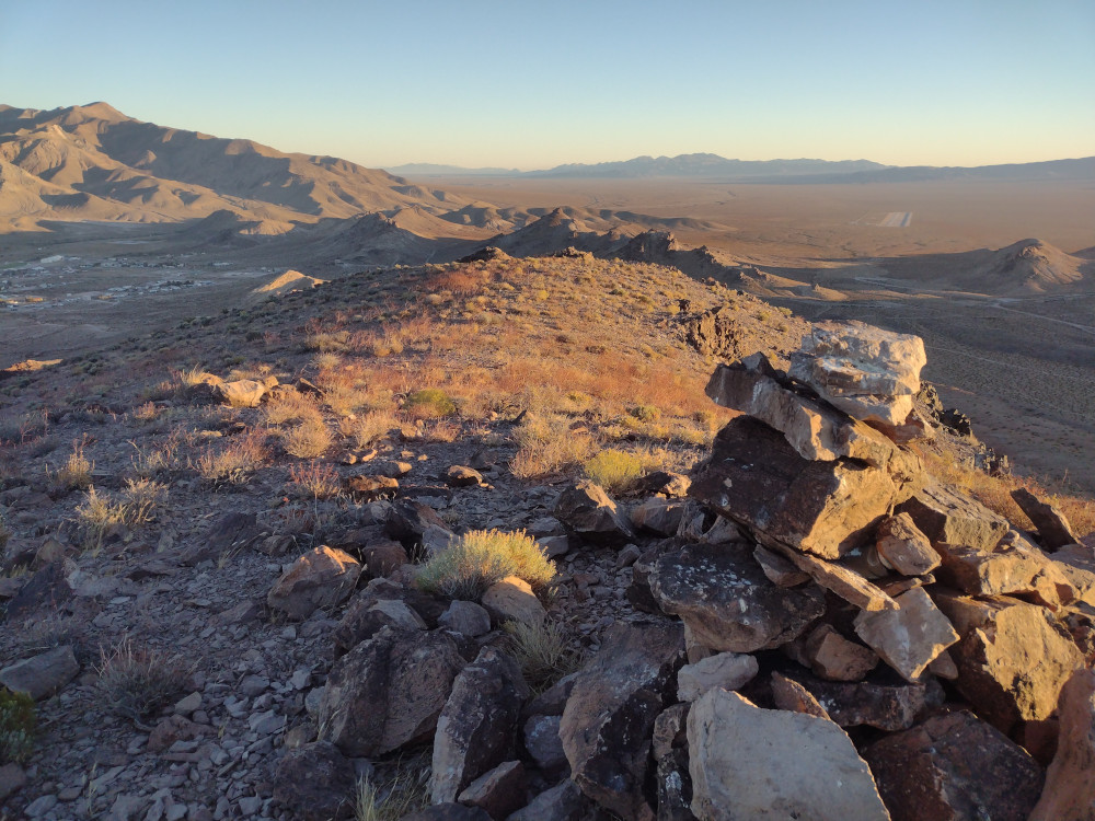
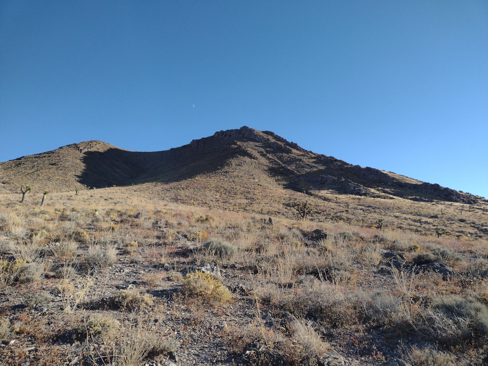
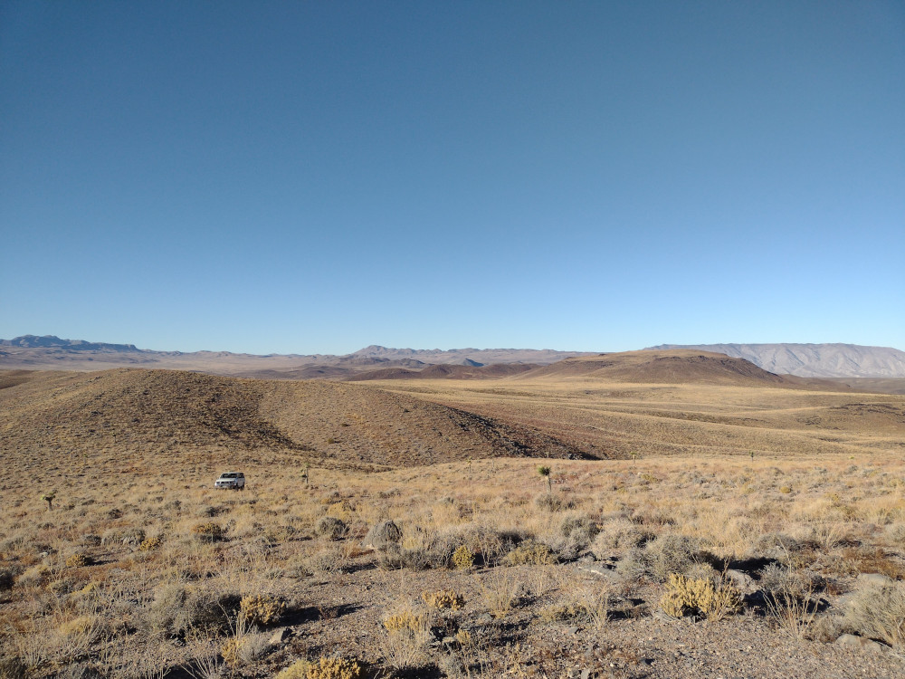
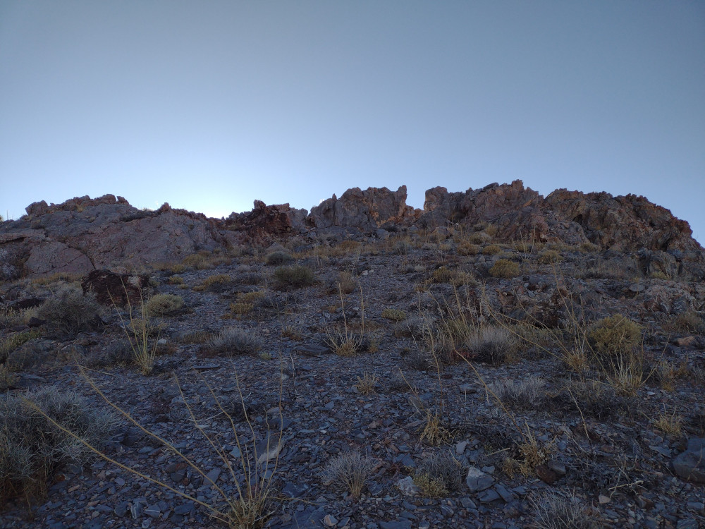
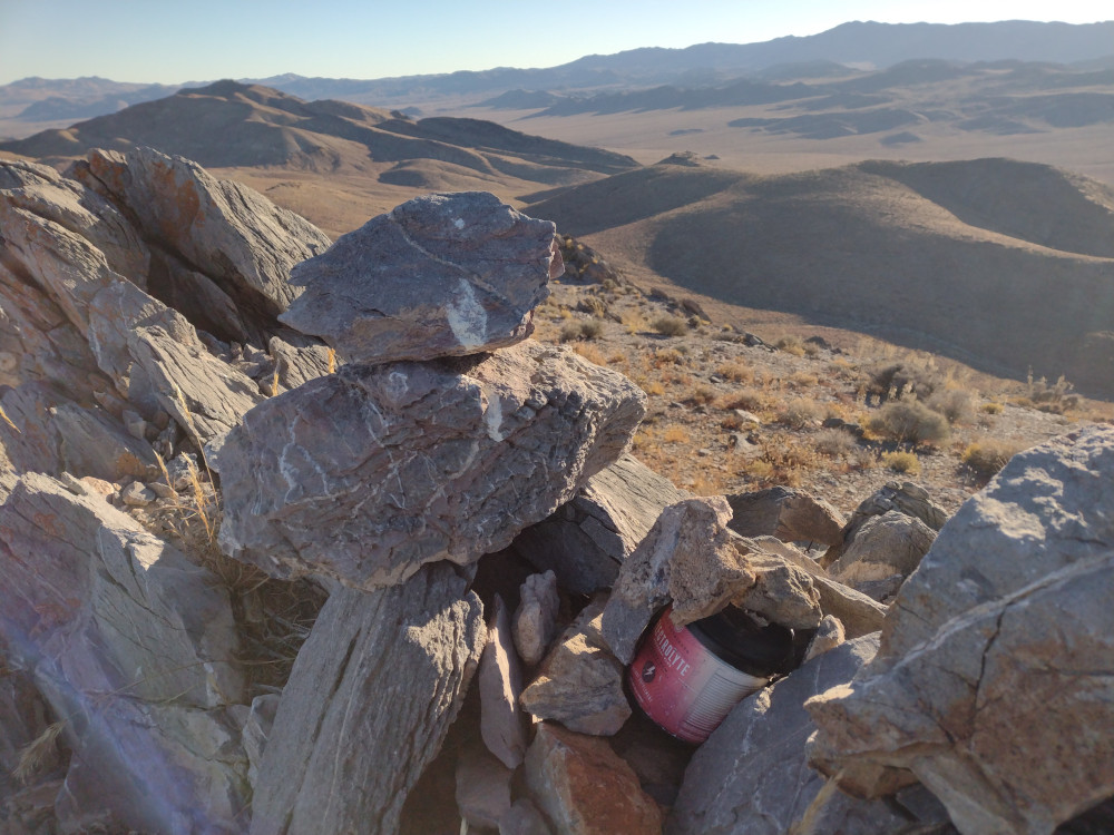
Getting to the summit is pretty easy, there are power lines accompanied by a dirt road at the base of the mountain. I drove this and parked in a well used area near several old mine shafts. After walking around a bit I determined this wasn’t the best place to ascend. Eventually I found a good route and started hiking up. It was steep, rocky, and loose with several false summits. At the top, I setup my brand new MTR3B V4 for 20M, along with a brand new 3D printed key. After several Qs, the key started acting funny, then eventually failed! Luckily the new MTR has a built in touch keyer, which saved the activation!
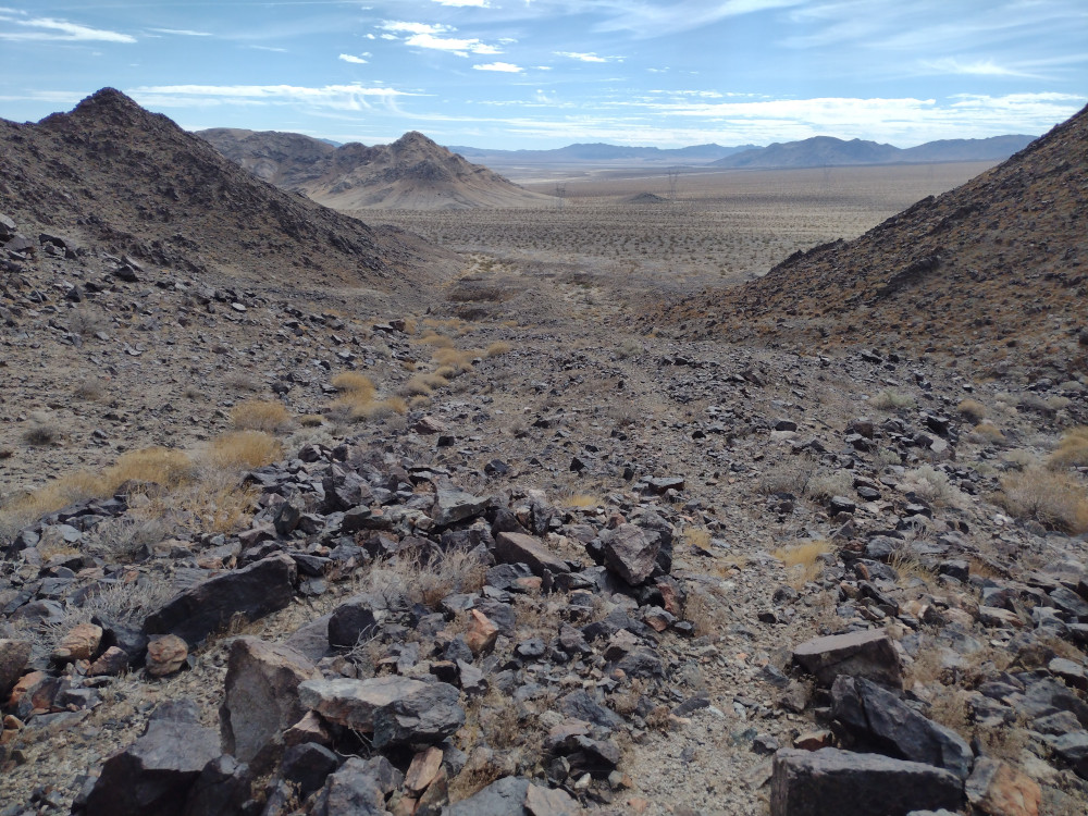
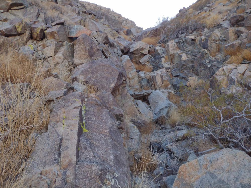
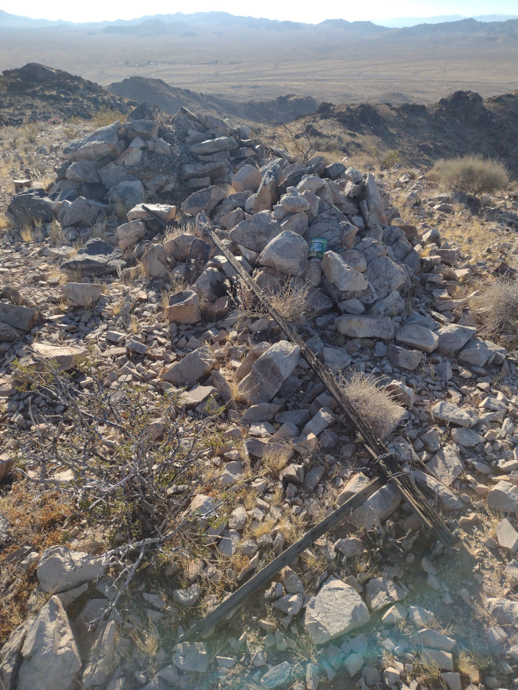
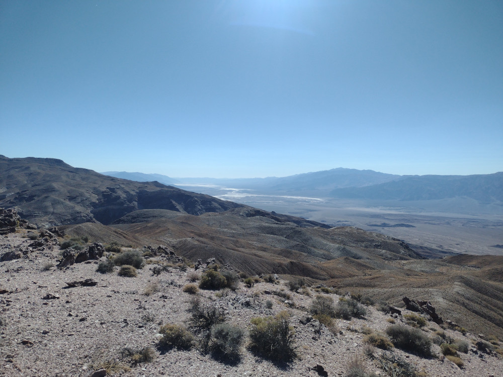
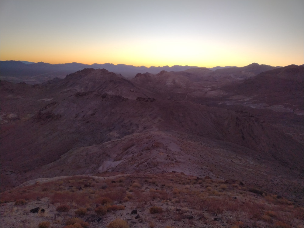
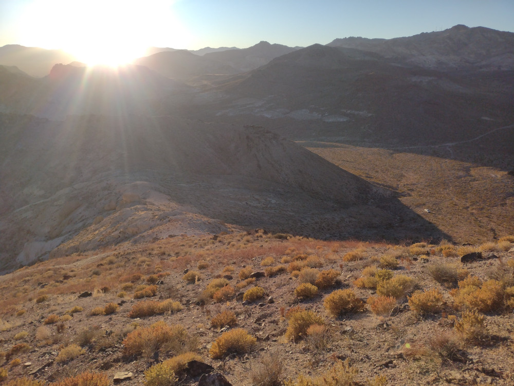
From the summit I could see a pretty well defined use trail which I thought might be a better way to descend, plus it makes the hike a loop. I took this path, but it seemed sketcher that the way up. I think I lost the trail several times, and once needed to backtrack up to safer ground. Near the bottom were more mines, with lots of blue-green quartz around. Copper perhaps? From there, it was an easy hike back to the truck.
https://sotl.as/summits/W6/ND-372
Total climbing: 823 ft
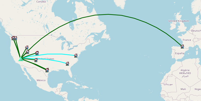
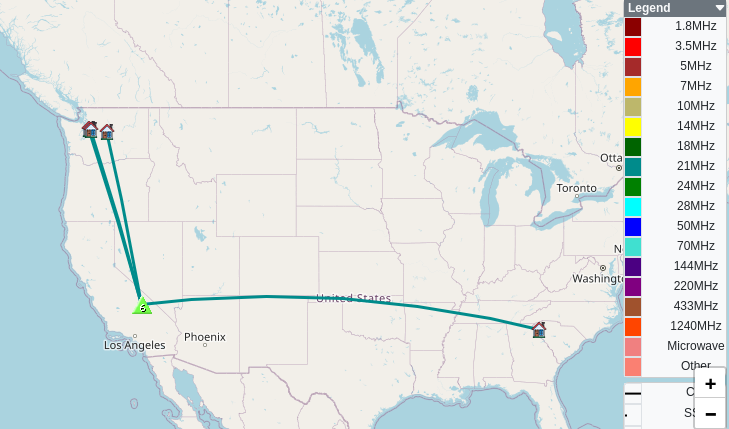
Date:19/02/2025 | Summit:W6/ND-372 (Otto Mountain)
| Time | Callsign | Band | Mode | Notes |
|---|---|---|---|---|
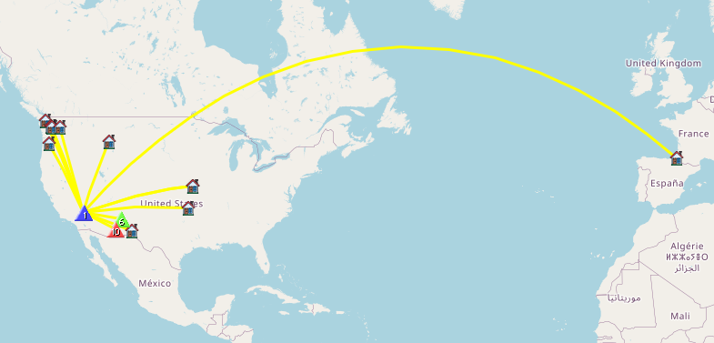
| 19:01 | K9PM/R | 14MHz | CW | S2S W7A/AE-011 S57N R55N |
| 19:04 | N7WM | 14MHz | CW | S57N R599 |
| 19:05 | KG5ES | 14MHz | CW | S55N R55N |
| 19:12 | WU7H | 14MHz | CW | S5NN R57N |
| 19:13 | W0MNA | 14MHz | CW | S58N R57N |
| 19:14 | W0ERI | 14MHz | CW | S55N R55N |
| 19:15 | F4WBN | 14MHz | CW | S52N R599 |
| 19:16 | WW7D | 14MHz | CW | S57N R54N |
| 19:17 | W5ODS | 14MHz | CW | S55N R54N |
| 19:19 | AA7OY | 14MHz | CW | S2S W5N/AP-041 S55N R56N |
| 19:20 | VE7EA | 14MHz | CW | S57N R55N |
| 19:21 | K7ATN | 14MHz | CW | S55N R54N |
| 19:21 | NU7A | 14MHz | CW | S58N R55N |