W6/SS-618 – Piute Lookout

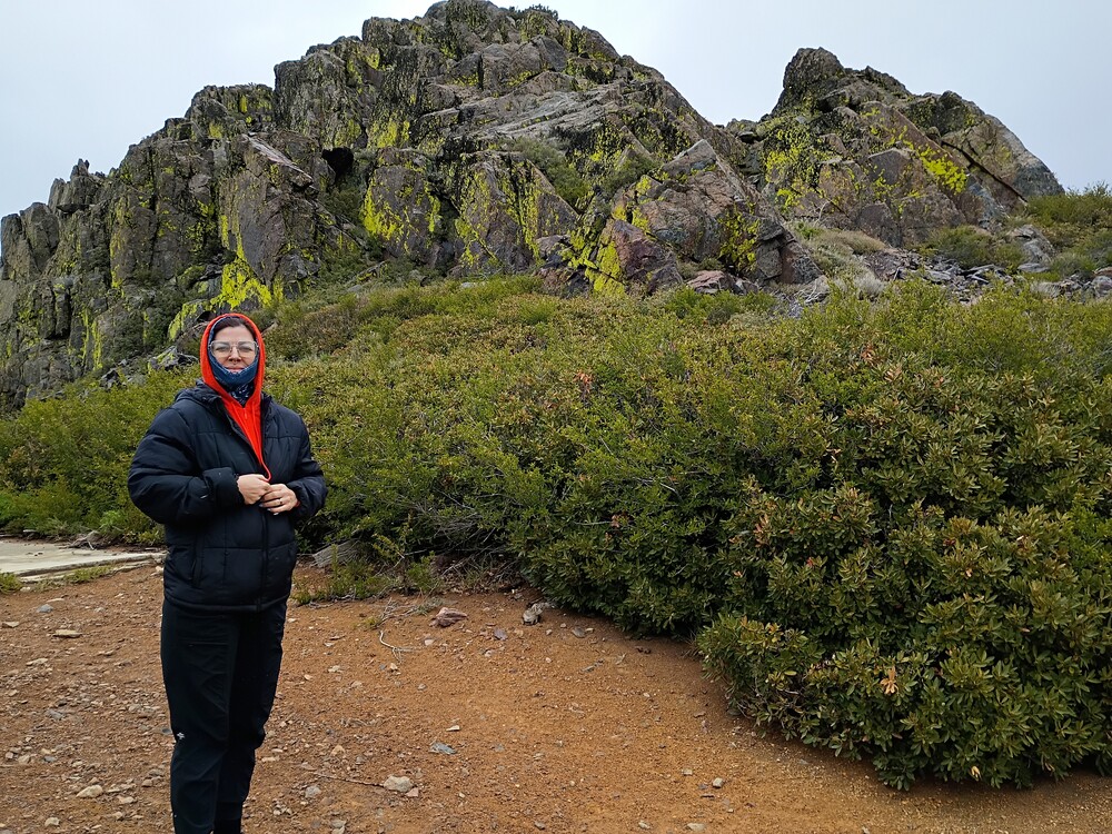
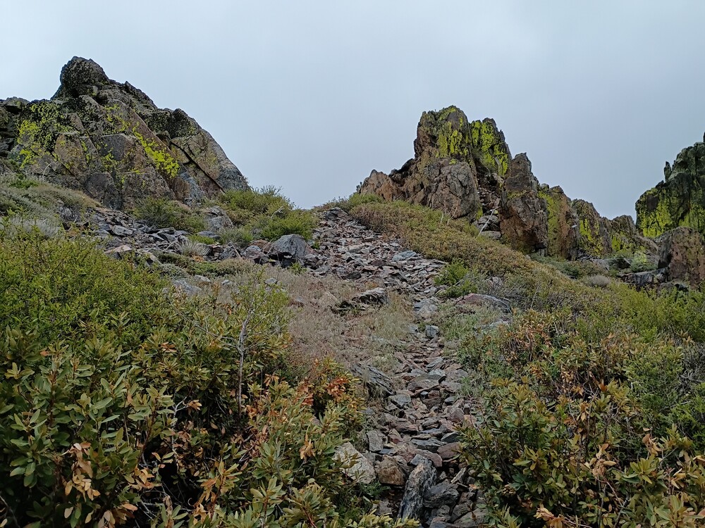
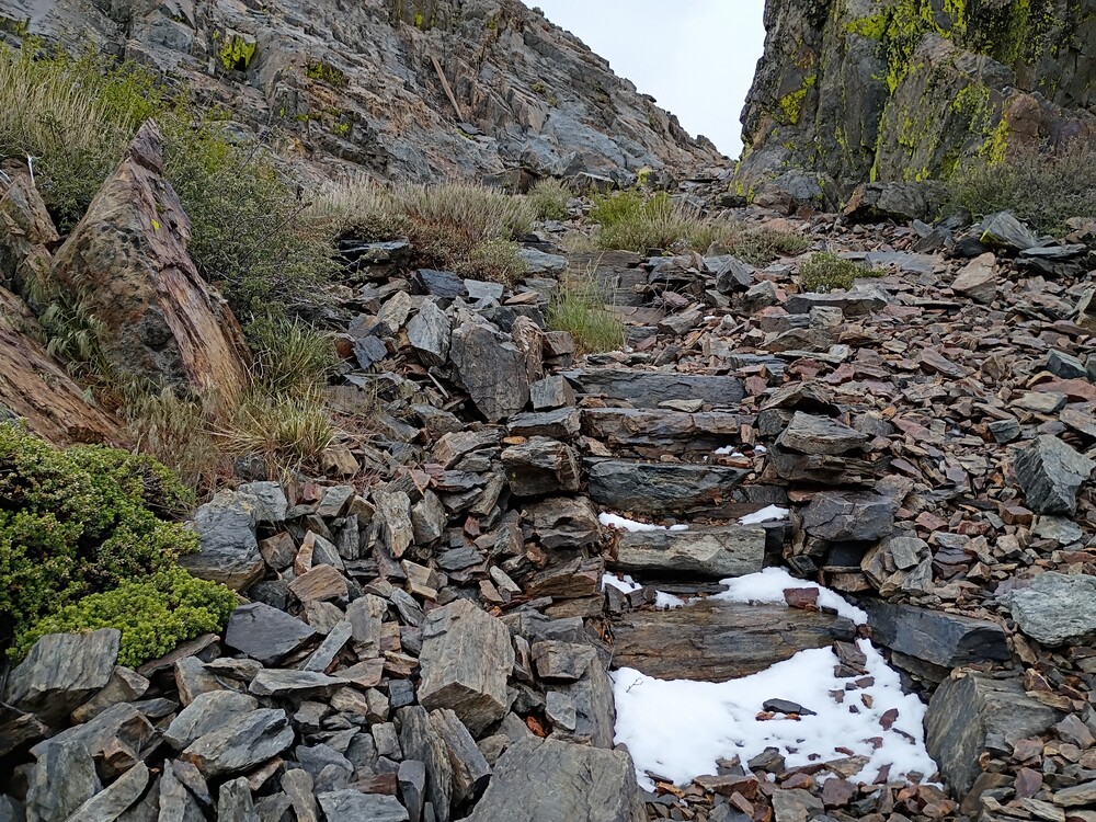
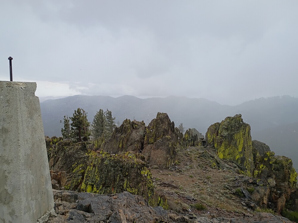
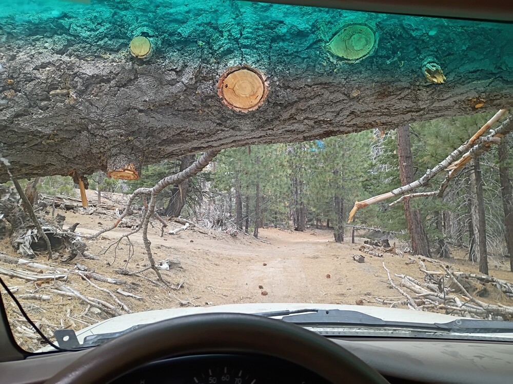
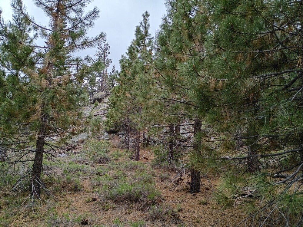
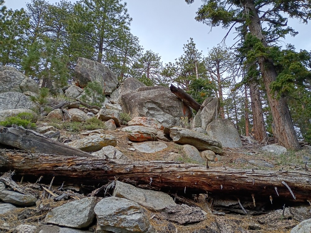
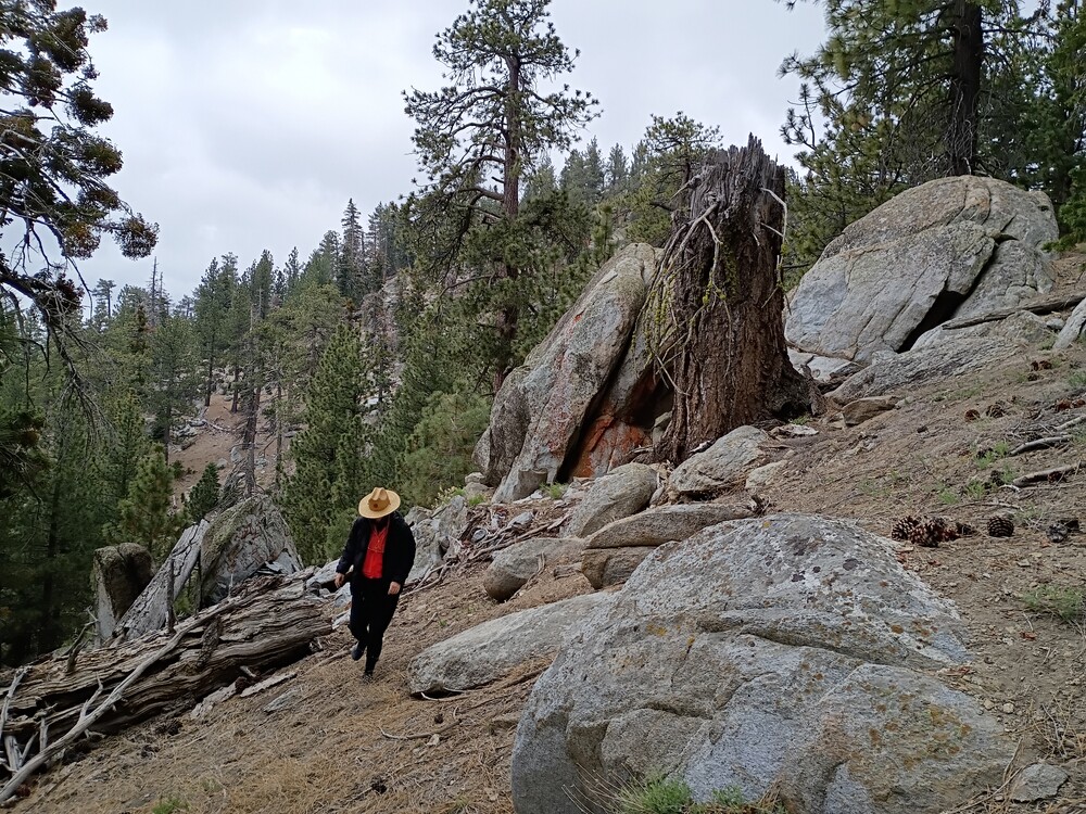
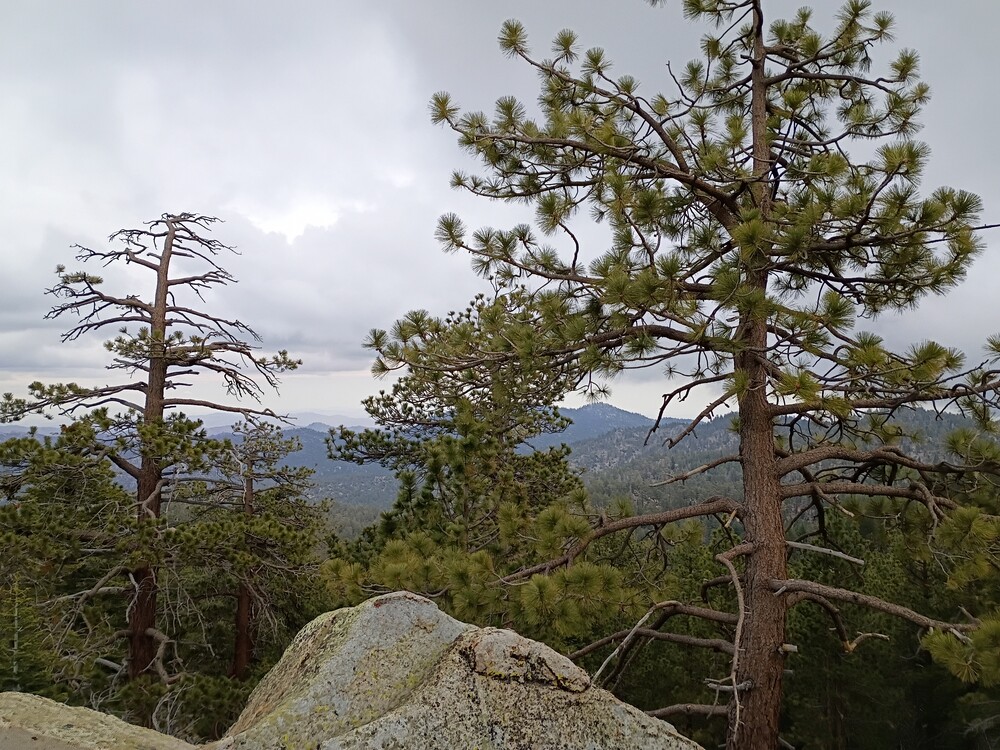
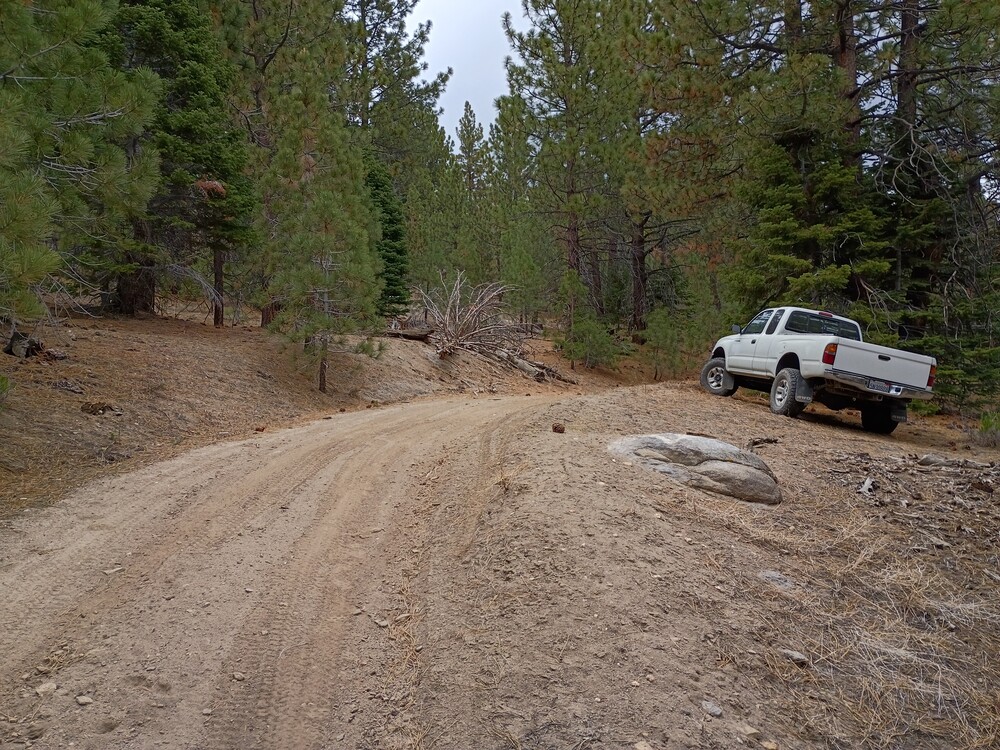
After leaving W6/SS-348, we headed back to Piute Mountain Road and went deeper into the forest. We took our time, stopping in interesting areas to look around, so It took about 2 hours to travel between summits. Finding the actual summit was easy, there is a road straight to the top! Oh, the gate was open, so we drove through. As we started to gain elevation, it started snowing. At the top is a small slab and a short scree path up to the summit. Once there I setup on 2M CW for one QSO, 183km. I jumped on 20M CW to complete the activation. The snow was melting immediately and I was getting wet, so I didn’t stay too long. Fog, snow, bright green lichen made an interesting experience that will be hard to duplicate, even if I come up to this summit again. See additional video footage on my peertube server that somewhat captures this.

https://sotl.as/summits/W6/SS-618

Normally, I would have a map of the hike to the summit in this space, but there wasn’t a real hike, so I don’t have that data.
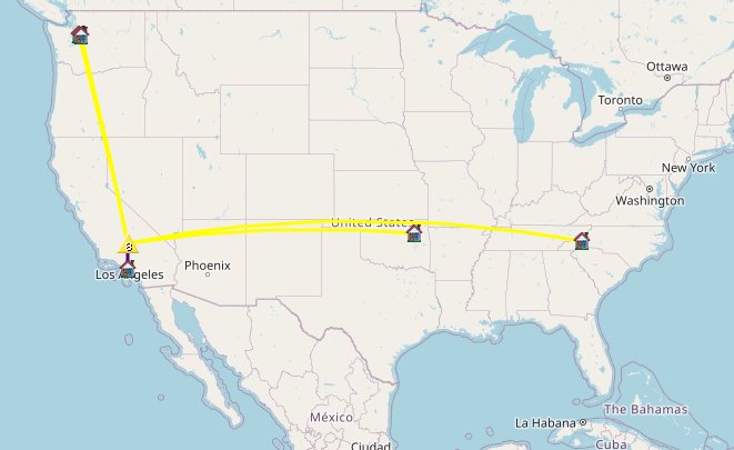
Date:28/05/2026 |  Summit:W6/SS-618 (Piute Lookout)

TimeCallsignBandModeDistance (km)Notes
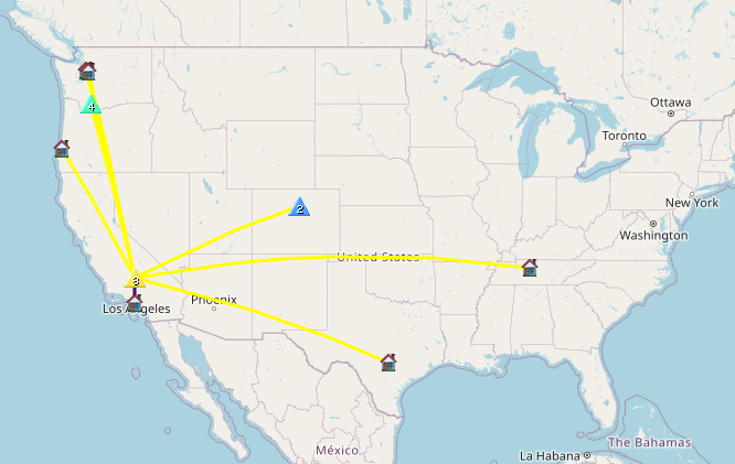
21:59NT6E144MHzCW183%QRA%DM03TU% S55N R52N
22:07N4TU14MHzCWS56N R52N
22:08WW7D14MHzCWS57N R52N
22:09W5ODS14MHzCWS57N R57N
22:11WU7H14MHzCWS58N R52N
22:14JG0AWE14MHzCWS31N R52N
Fediverse Reactions

W6/SS-348 – 7895

Iโ€™ve wanted to visit this area for a long time, but never made the trip because itโ€™s kinda a far drive from my pad in Los Angeles. Well, after studying maps and looking over forest service maps, I found a perfect opportunity to go. Kel and I left home early in the morning, navigating various freeways out of the city, eventually ending up on Highway 14 north past Mojave, CA. From there, we turned left on Jawbone Canyon Road (dirt) and continued for quite a long way, eventually making a left on Grouse Meadow Trail, which got us close to the base of 7895. Once parked, it was an easy hike up to the summit. At the top I setup my Yaesu 817 with a roll-up 2M antenna and posted a spot. I didnโ€™t think I would make any QSOs here, but Jon from Torrence boomed right in. I didnโ€™t get any other takers, so I moved to the 20M band which resulted in two S2S QSOs. The weather was a bit stormy so I packed up and headed back to the truck.

https://sotl.as/summits/W6/SS-348

Total distance: 0.58 mi
Total climbing: 274 ft
Download file: ss348.gpx

Date:28/05/2026 |  Summit:W6/SS-348 (7895)

TimeCallsignBandModeDistance (km)Notes
19:30NT6E144MHzCW178%QRA%DM03TU% S599 R52N
19:42KX6I14MHzCW1204S2S W7W/LC-107 S5NN R52N
19:43WW7D14MHzCWS57N R53N
19:45KX0R14MHzCW1254S2S W0C/FR-085 S55N R33N
19:46WU7H14MHzCWS57N R56N
19:47NW7E14MHzCWS57N R55N
19:48AC7P14MHzCWS52N R55N
19:52WD4CFN14MHzCWS56N R44N

W6/SC-076 – Whitaker Peak

It took me three attempts to activate Whitaker Peak. The first attempt was 2021. From the fire road, I scaled a near vertical wall and actually made it to the peak, but found the battery I brought was dead! The second time, I mountain biked up to the communications site, but there were so many workers there I couldn’t easily get myself and bike around their trucks to proceed along the ridge. On my third and final attempt, I planned to ride up from Golden State Highway, but the Whitaker Peak fire road gate was open, so I drove through, saving quite a bit of time. Eventually the fire road got too rough, so I parked and rode the MTB to the communications site, locked it up on the fence, and hiked the ridge over to the true summit.

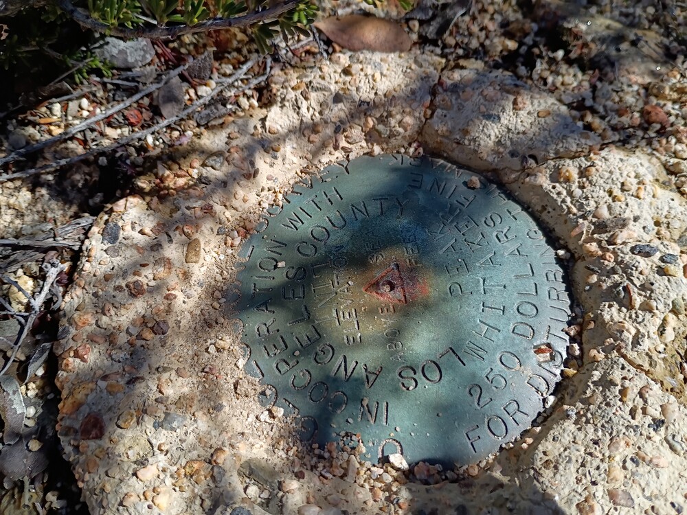
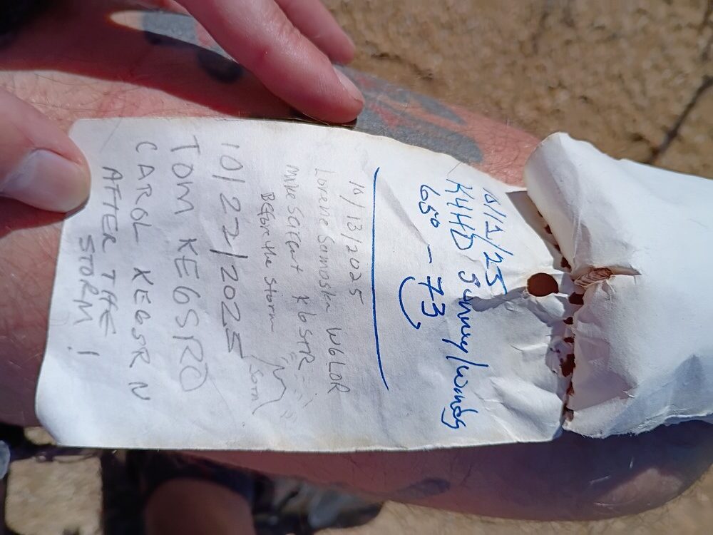
I hiked along a faint use trail over the ridge which was super overgrown. I should bring clippers next time to thin out the trail. Wear long pants unless you like getting mauled by plants. At the top is a small clearing and a benchmark, with a register hidden in a rock pile. While setting up, I had my radio tuned at 144.100 CW without an antenna connected and heard KE6SRN crack through at S9. Easy S2S with SRN, and SRO! Continuing on 2M CW resulted in additional contacts for the 2026 2M challenge. After exhausting chasers, I jumped on 17M for a few more QSOs. By this point it was starting to get hot, so I packed up and headed down the way I came. Glad to finally get this summit activated!

https://sotl.as/summits/W6/SC-076

Total distance: 0.54 mi
Total climbing: 314 ft
Download file: Whitaker.gpx

Date:21/02/2026 |  Summit:W6/SC-076 (Whitaker Peak)

TimeCallsignBandModeDistance (km)Notes
19:44KE6SRN144MHzCW39S2S W6/CT-132 S599 R599
19:57KE6SRO144MHzCW39S2S W6/CT-132 S599 R599
20:00KK6WT144MHzCW48%QRA%DM04NE% S599 R599
20:05NT6E144MHzCW87%QRA%DM03TU% S500 R53N
20:06K1CT144MHzCW241%QRA%DM12JT% S52N R229
20:07W6LEN144MHzCW121%QRA%DM13AQ% S599 R599
20:10K6CPR144MHzCW%QRA%DM04LF S599 R42N
20:25WW7D18MHzCWS58N R56N
20:26WF4I18MHzCWS55N R53N
20:27KD7LX18MHzCWS55N R55N
20:28N5URL18MHzCWS53N R53N
20:29WU7H18MHzCWS57N R55N
20:30KX6I18MHzCWS57N R33N
20:30NU7A18MHzCWS58N R55N
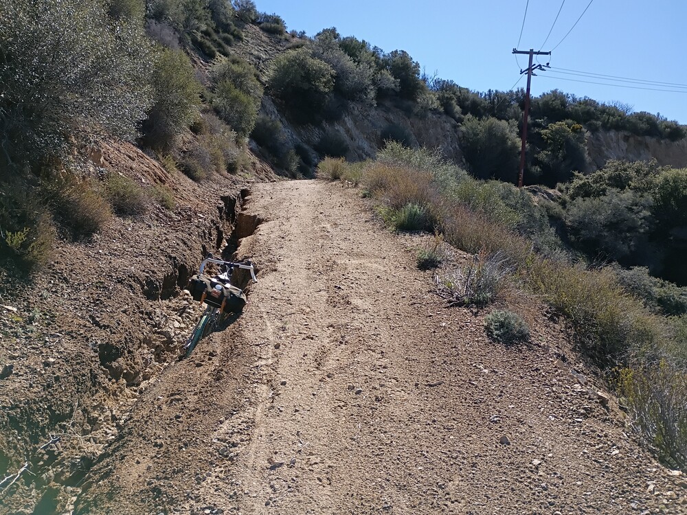
The road up, with my bike in a deep erosion channel
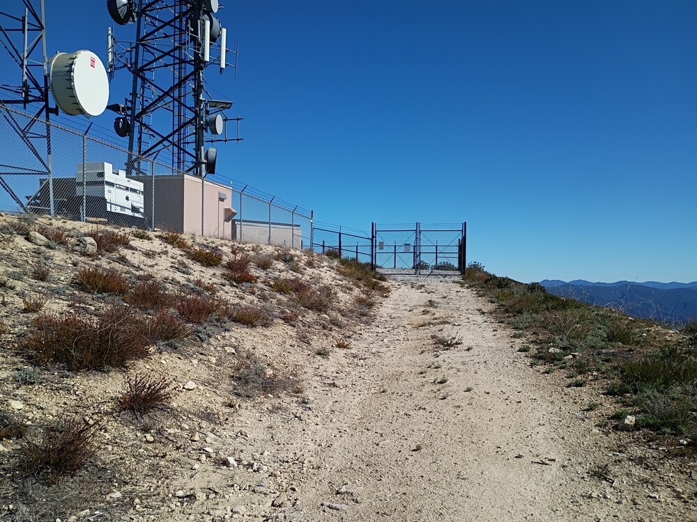
This is not the summit
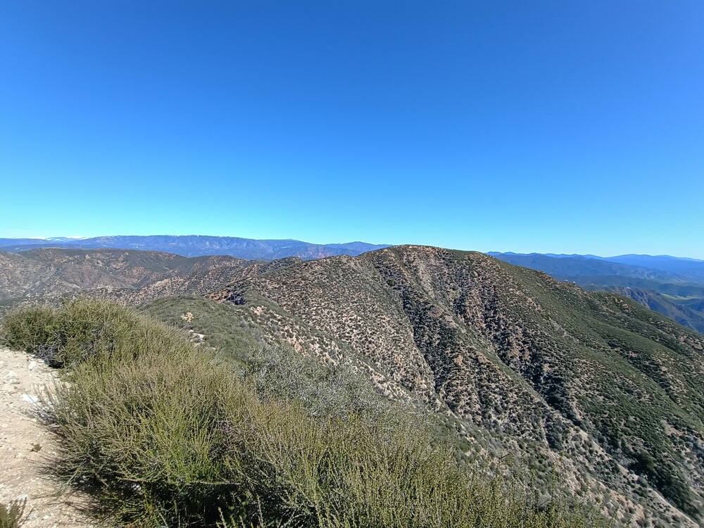
View of the summit from the communications site.
Benchmark
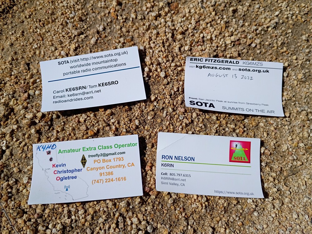
Previous activators
Summit register. Lots of SOTA folks in there!
Fediverse Reactions