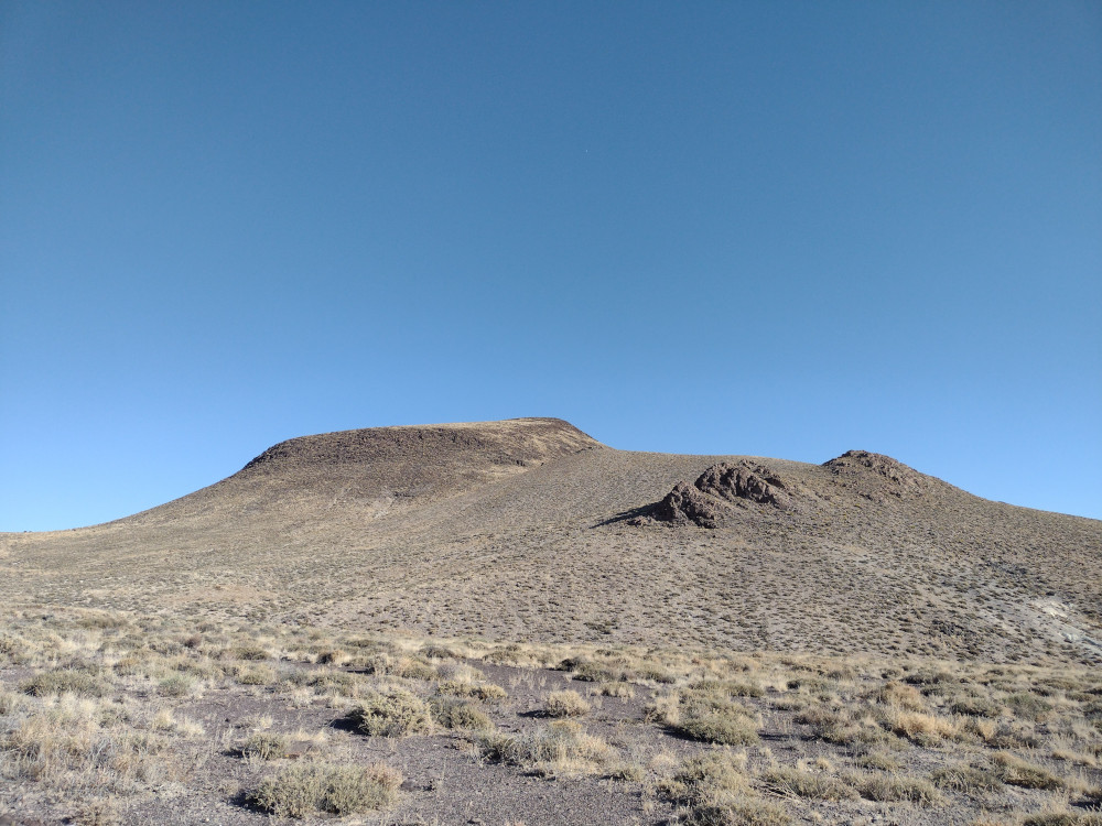
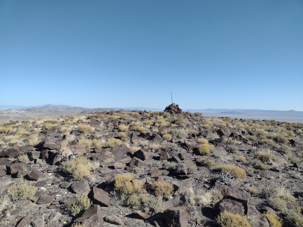
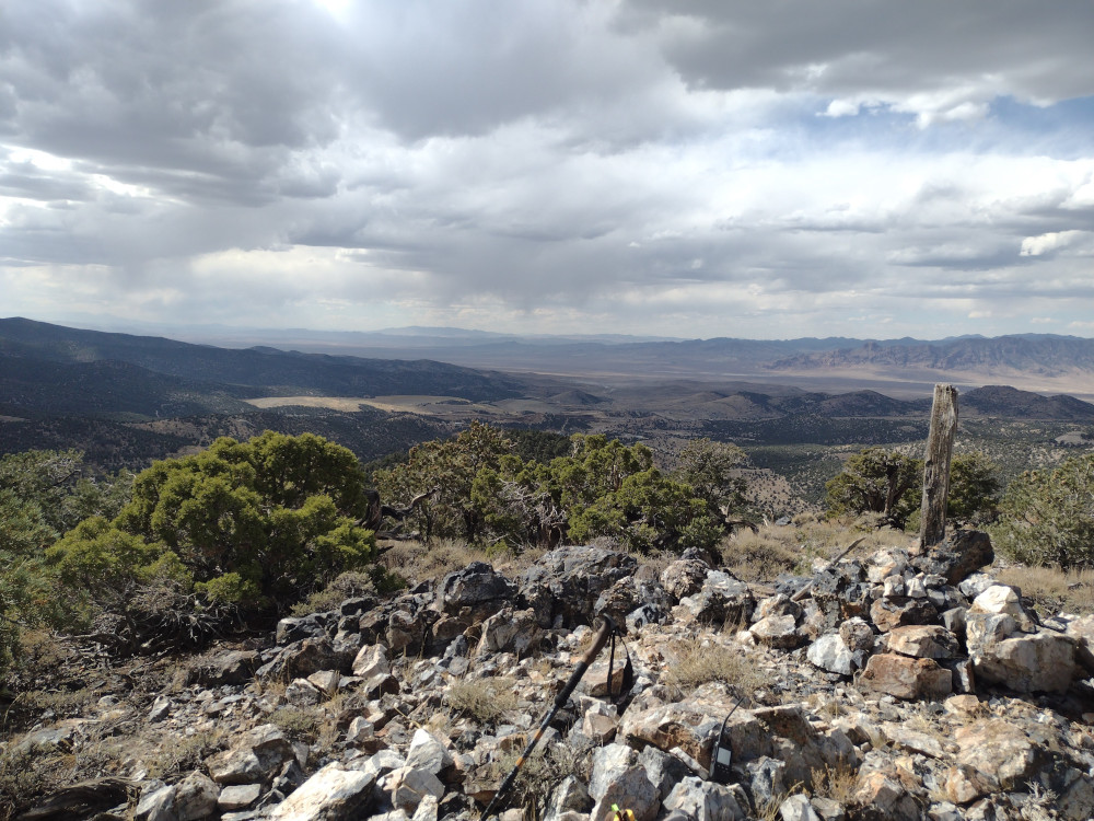
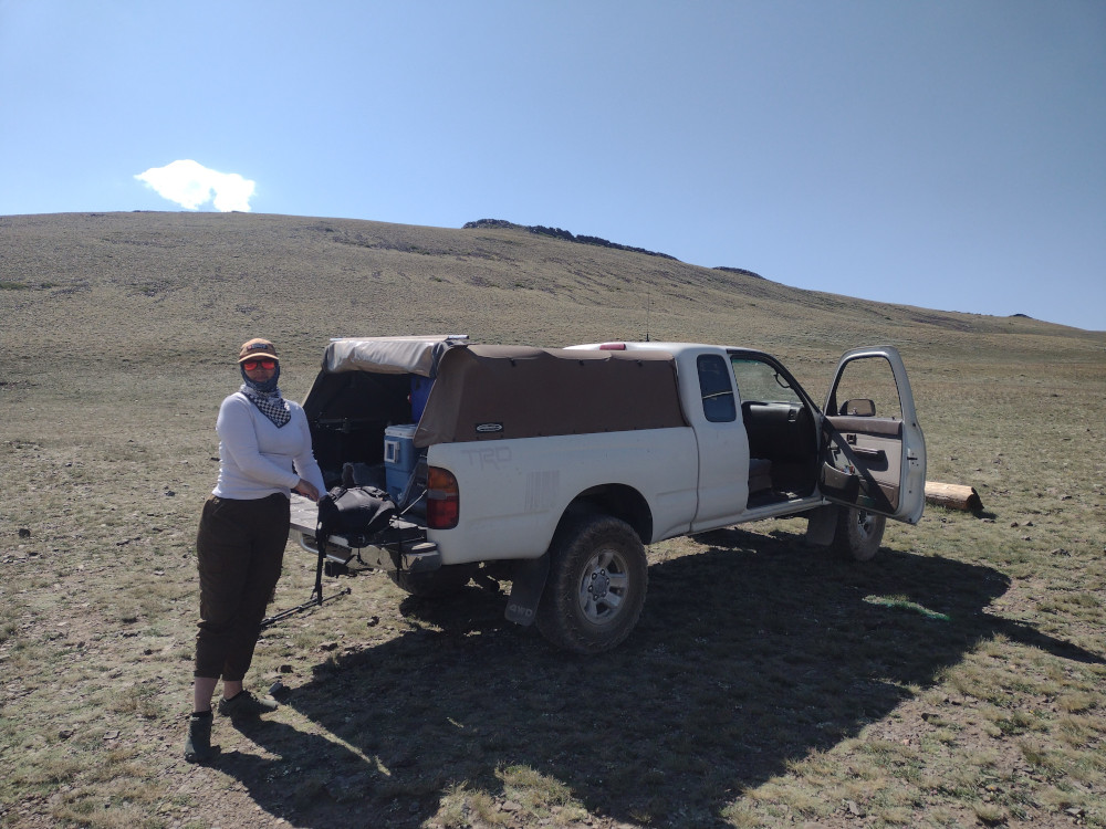
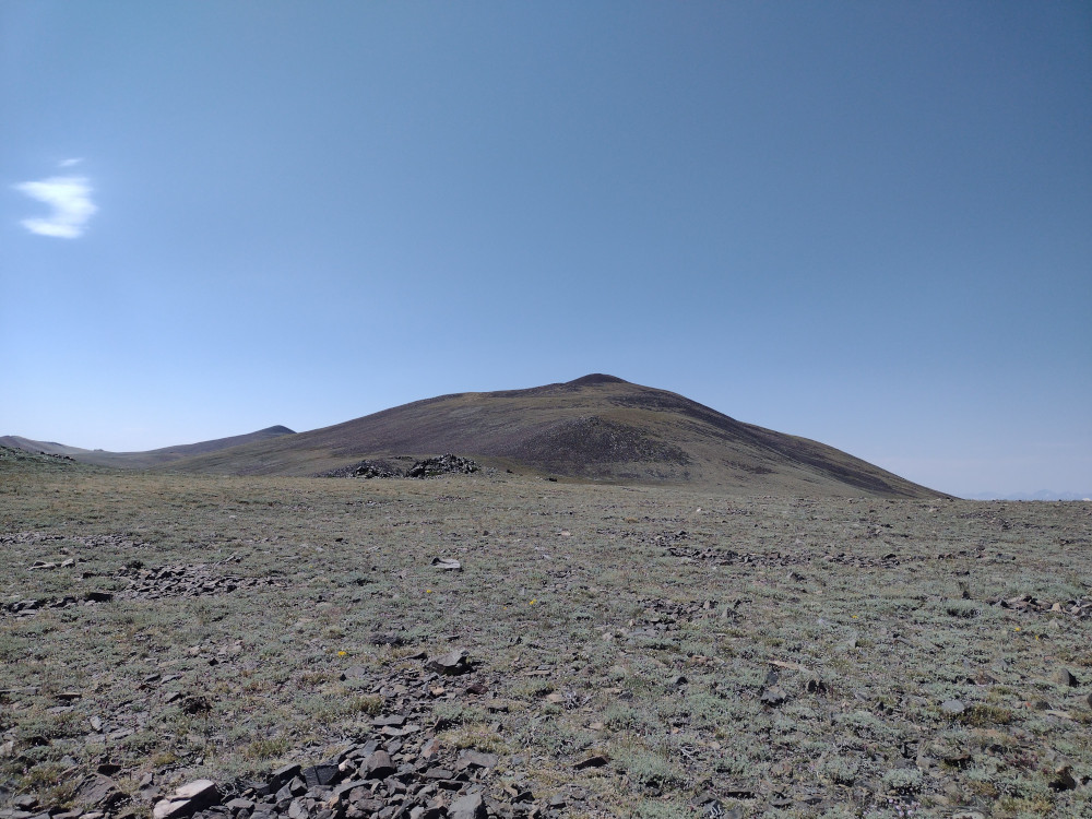
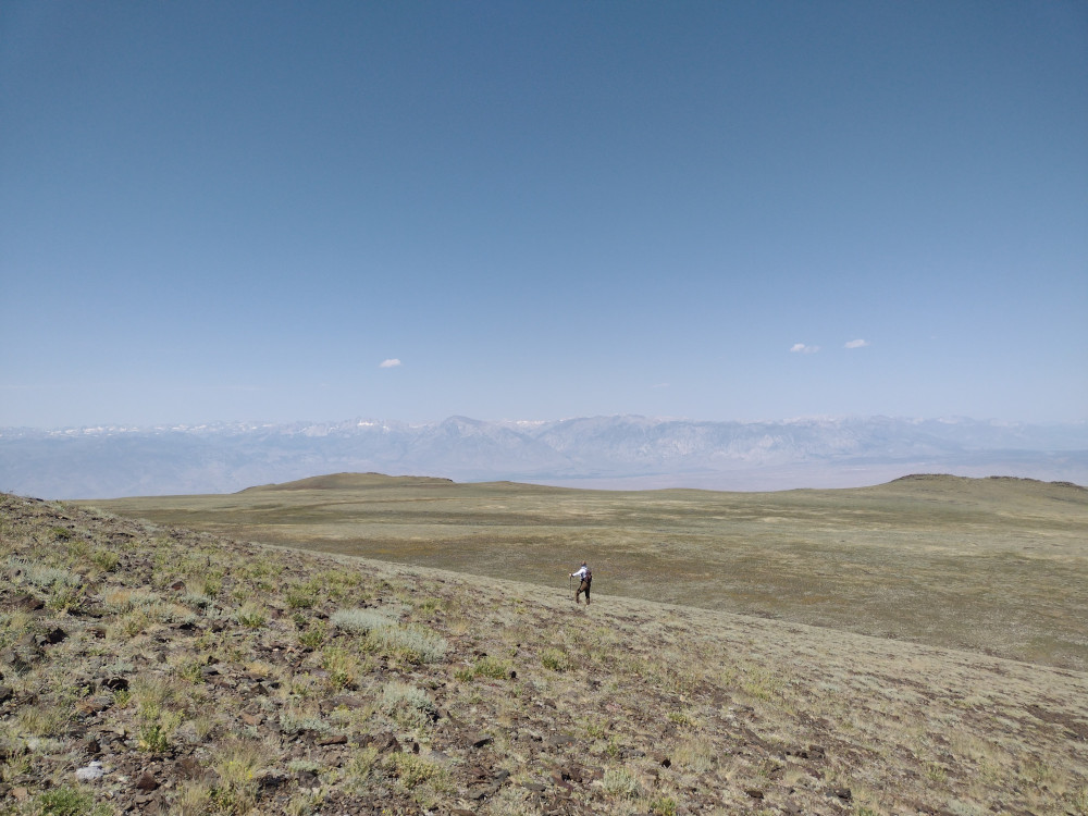
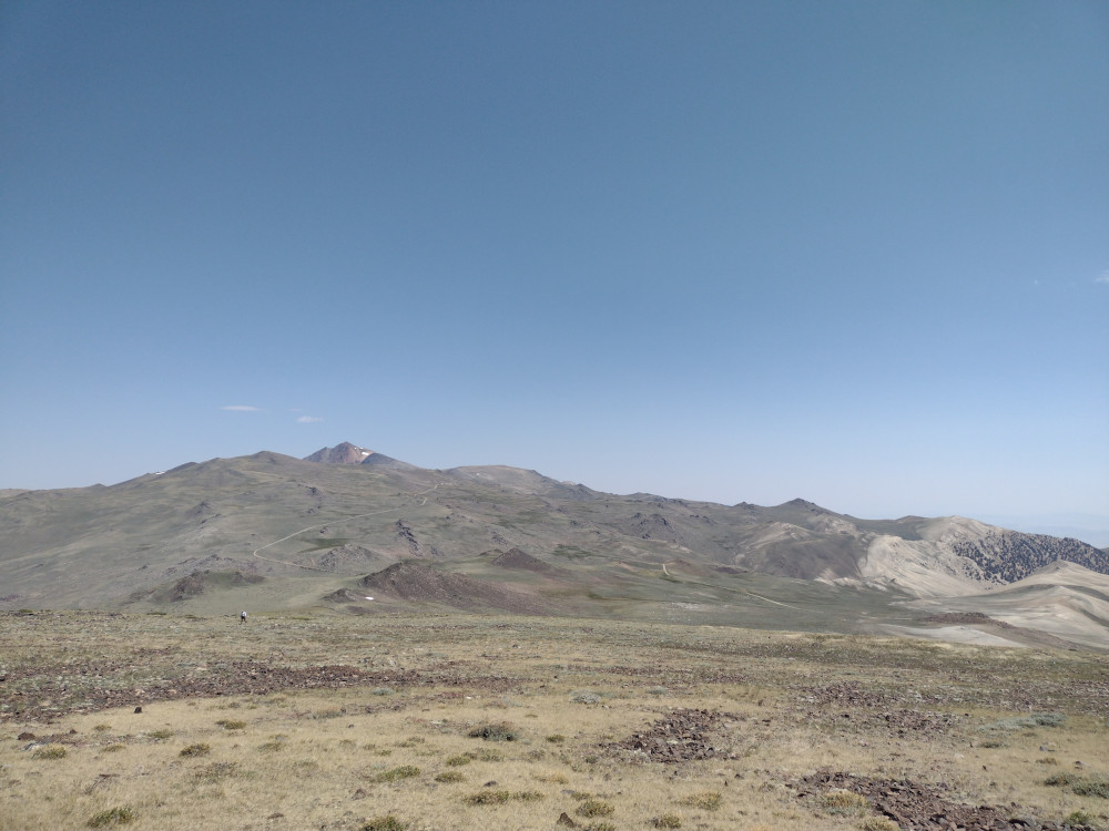
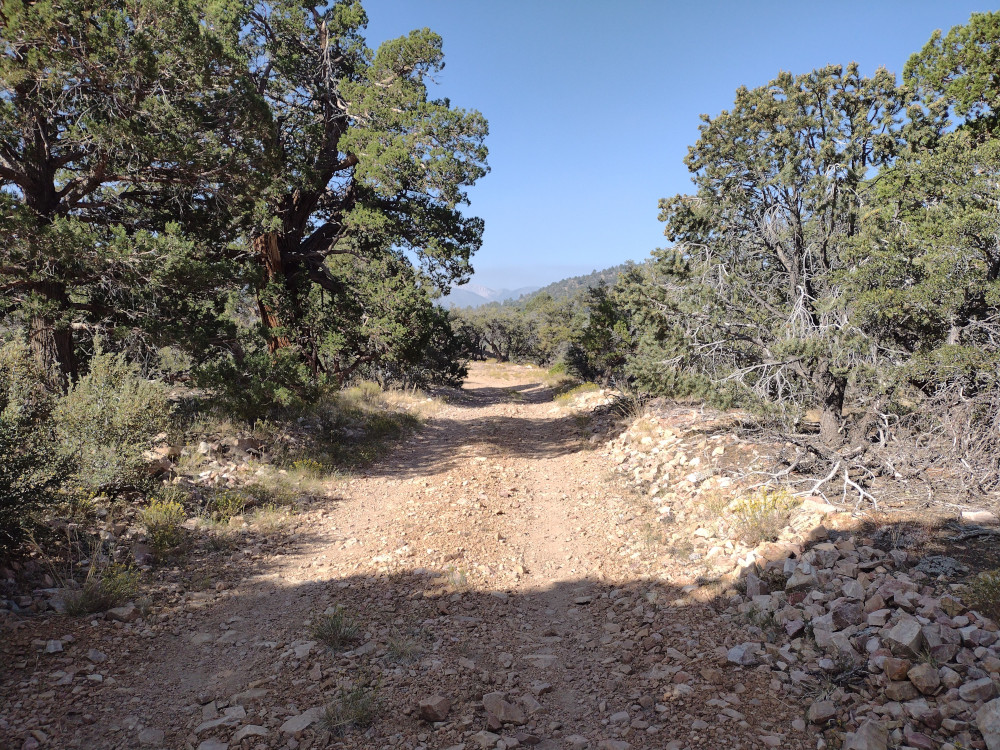
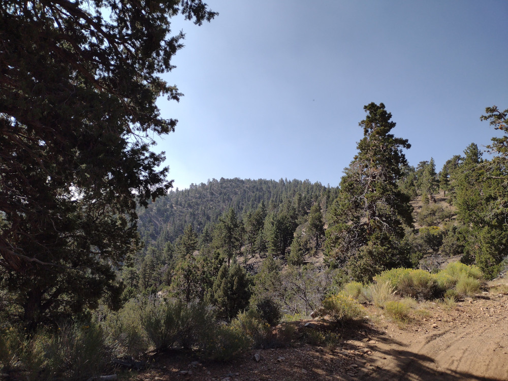
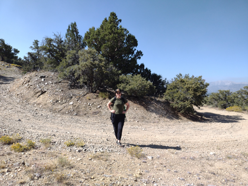
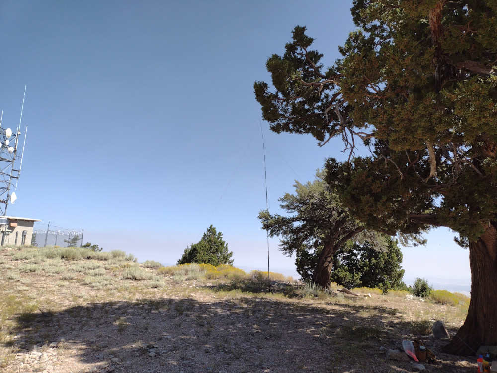
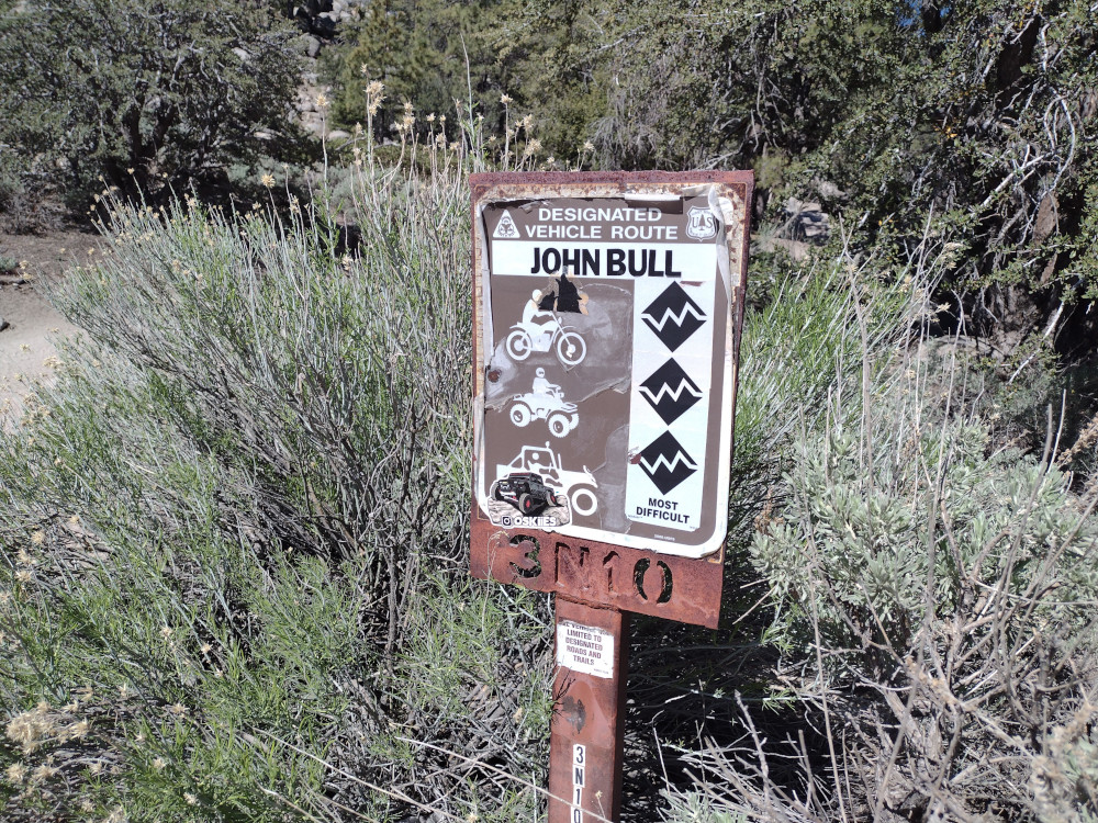
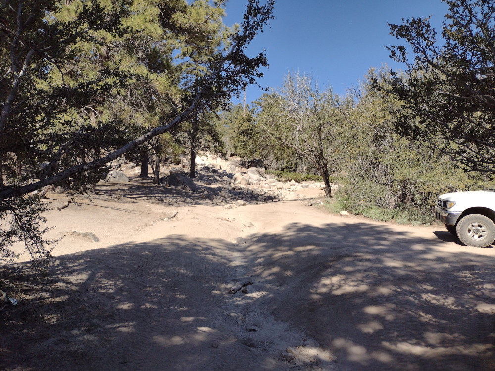
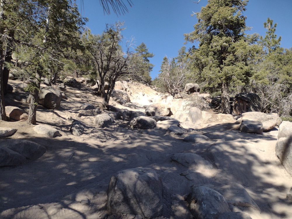
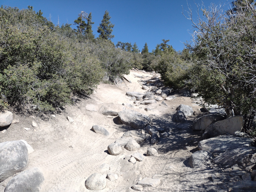
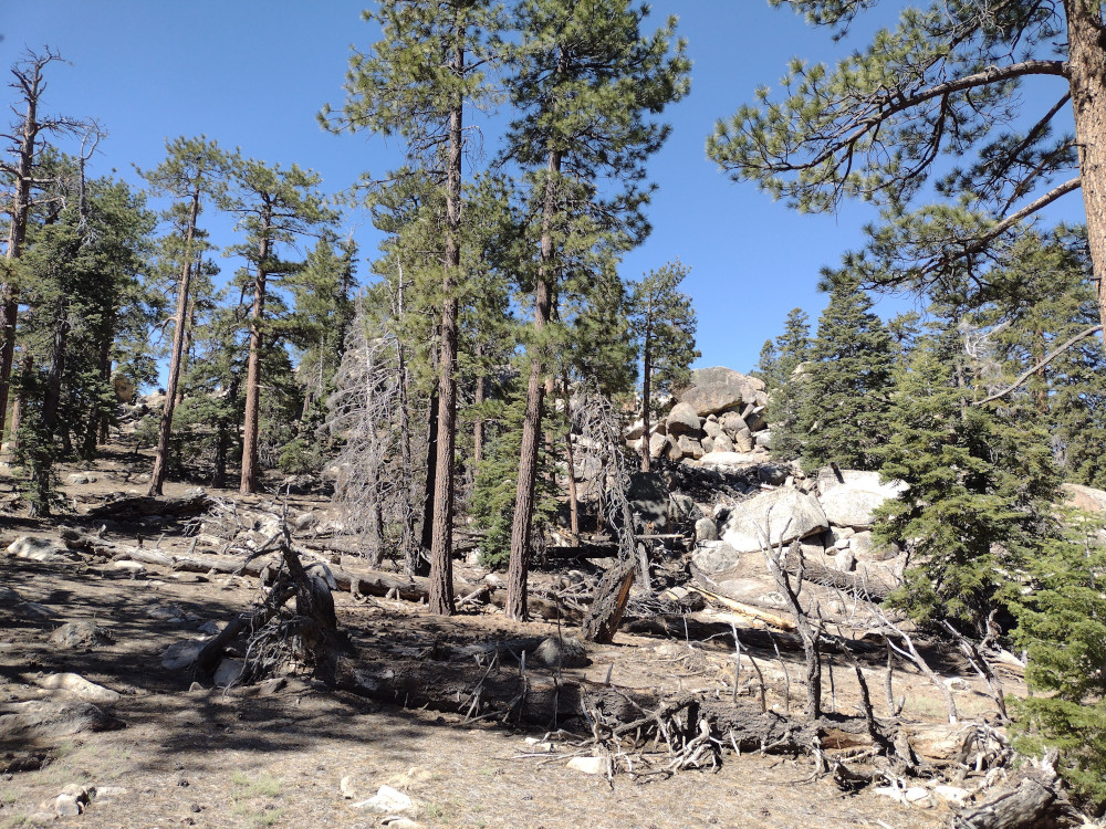
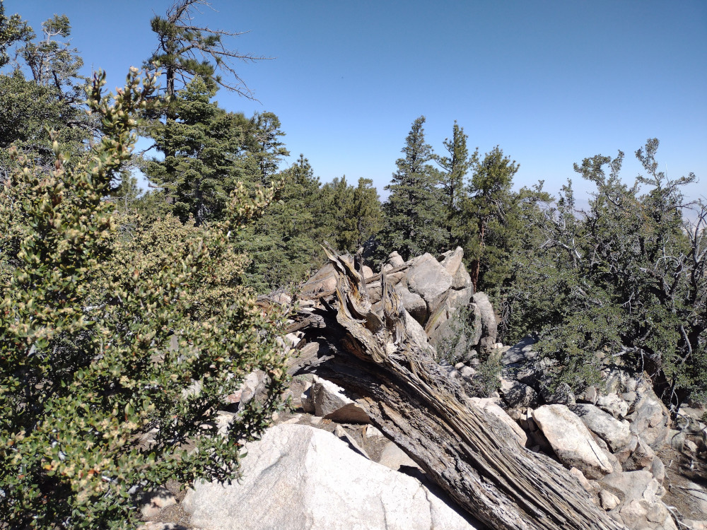
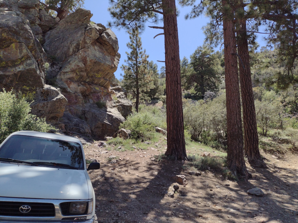
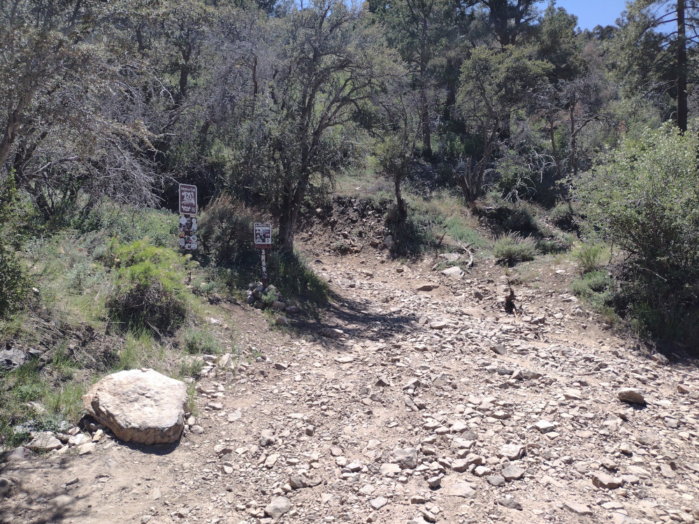
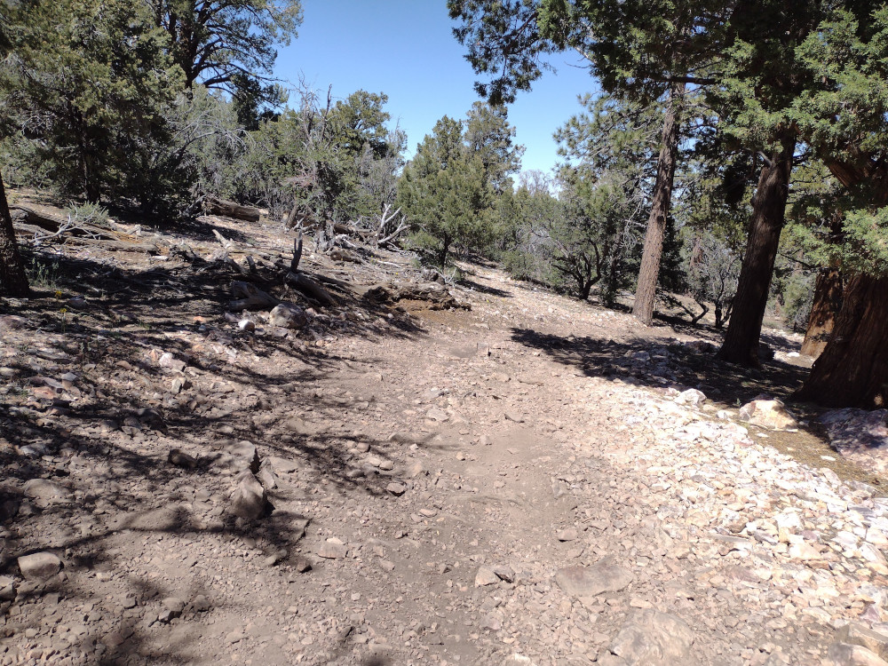
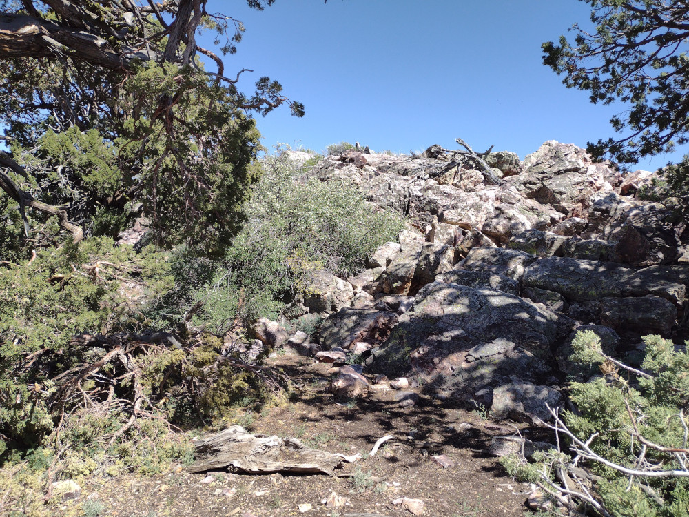
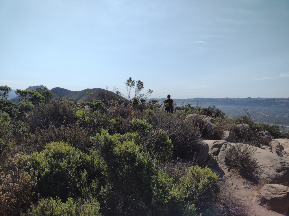
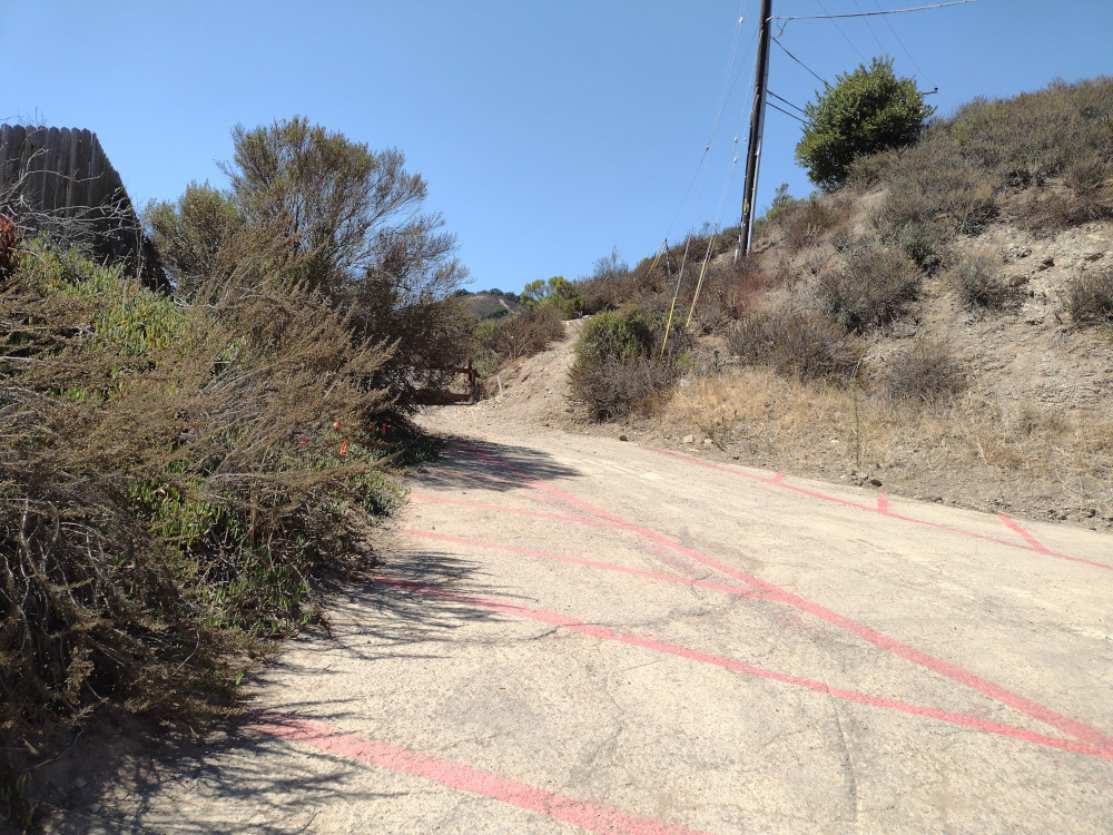
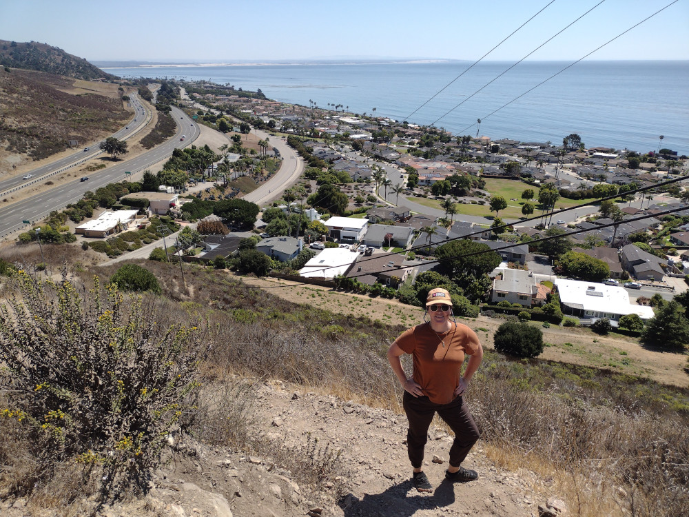
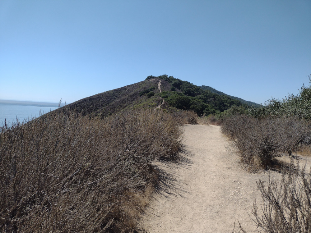
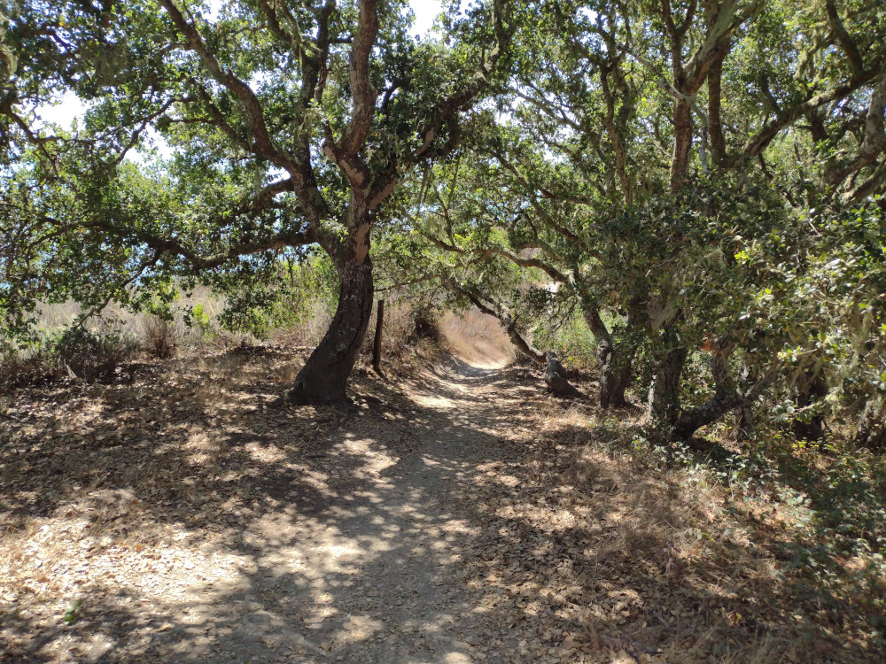
This was the first summit climbed on a trip out to Tonopah, NV with Kel. I was planning on climbing more hills in the immediate area but things don’t always go as planned. This was a a 1st activation of the summit in addition to being my 300th total, so kinda special for me. There is no trail. We parked the car off a decent 2-track desert road and started hiking up. The photos lie, it was pretty steep in some parts. At the top was a rock cairn which I used as a mast support. A register was hidden within. Worked 20, 30, and 40M CW. On the way down I met a rattle snake who I apparently got too close to. Even though I could clearly hear the snake, I never actually saw it even though I looked for a good minute.
https://sotl.as/summits/W7N/EM-112
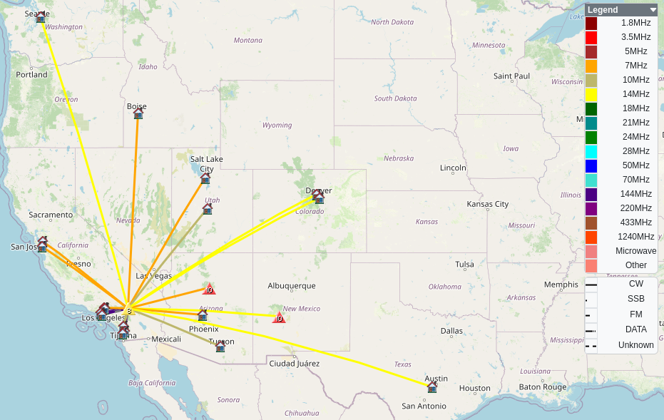
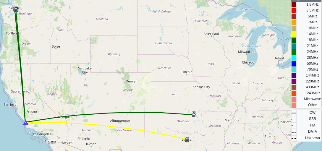
Total climbing: 670 ft
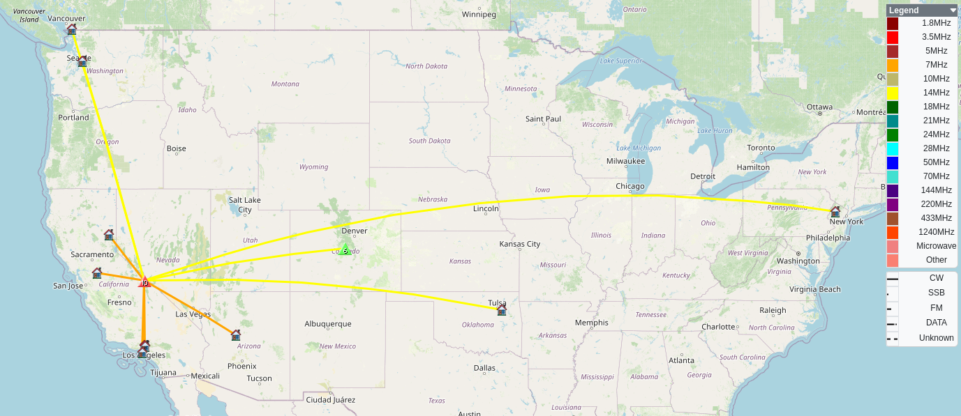
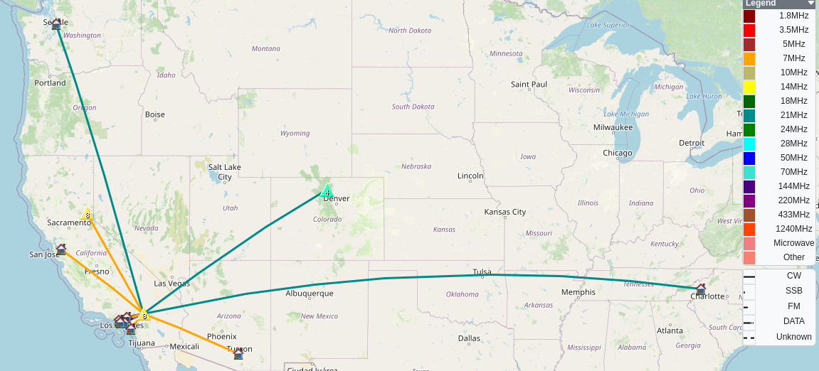
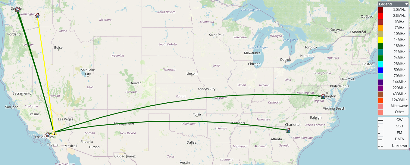
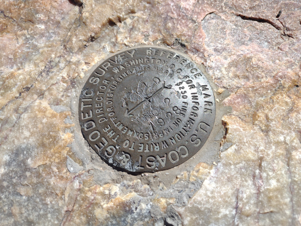
Date:04/10/2024 | Summit:W7N/EM-112 (Douglas Benchmark)
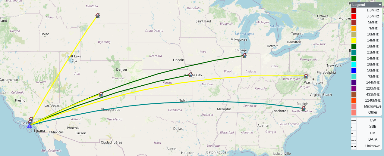
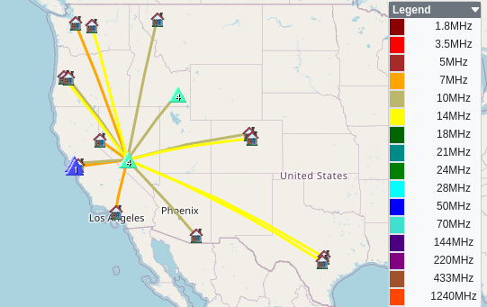
| Time | Callsign | Band | Mode | Notes |
|---|---|---|---|---|
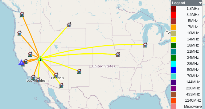
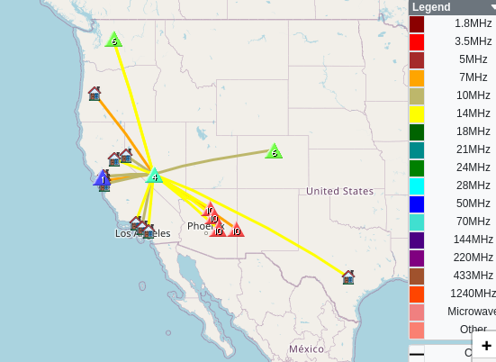
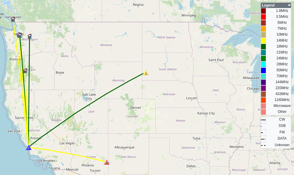
| 16:59 | W7MDN | 7MHz | CW | S2S W6/NC-209 S54N R55N |
| 17:05 | AE7I | 7MHz | CW | S58N R55N |
| 17:06 | NT6E | 7MHz | CW | S56N R53N |
| 17:07 | KN6OMN | 7MHz | CW | S56N R55N |
| 17:07 | WU7H | 7MHz | CW | S53N R33N |
| 17:15 | N0DNF | 10MHz | CW | S2S W7I/SI-186 S44N R52N |
| 17:18 | AA7OY | 10MHz | CW | S51N R56N |
| 17:19 | K6EL | 10MHz | CW | S2S W6/NC-423 S56N R58N |
| 17:20 | W6TDX | 10MHz | CW | S55N R55N |
| 17:22 | KT0P | 10MHz | CW | S51N R55N |
| 17:22 | KX0R | 10MHz | CW | S55N R55N |
| 17:30 | NU7A | 14MHz | CW | S57N R55N |
| 17:32 | NS7P | 14MHz | CW | S55N R55N |
| 17:33 | AD0WB | 14MHz | CW | S55N R599 |
| 17:36 | AK5SD | 14MHz | CW | S44N R42N |
| 17:37 | AC7P | 14MHz | CW | S42N R33N |
| 17:43 | JG0AWE | 14MHz | CW | S32N R33N |