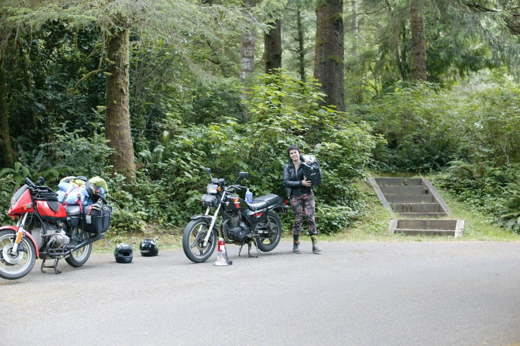
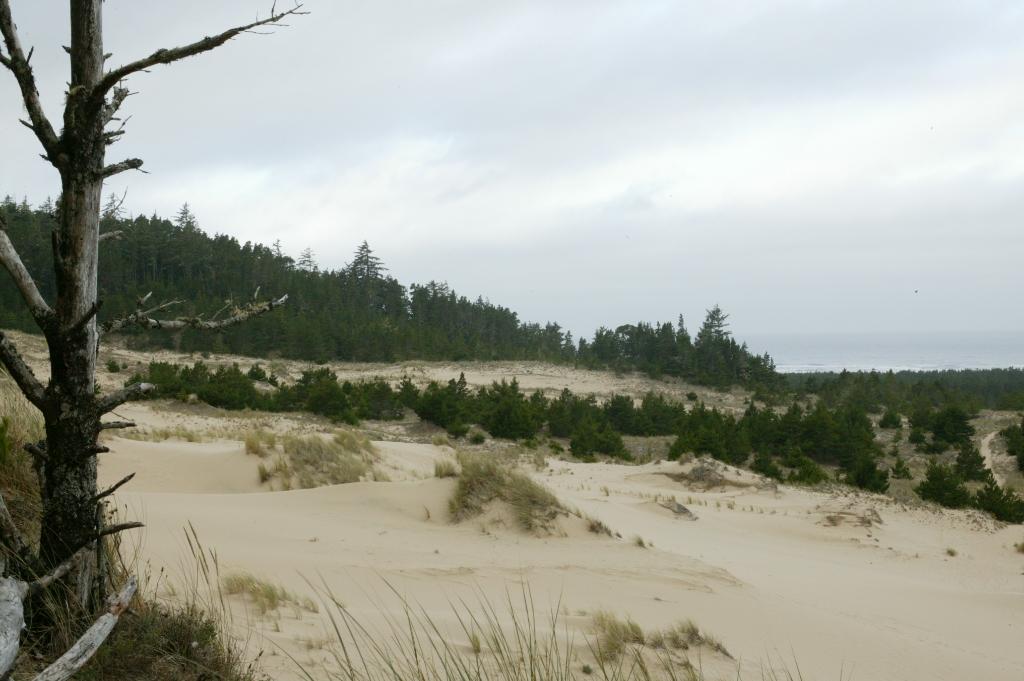
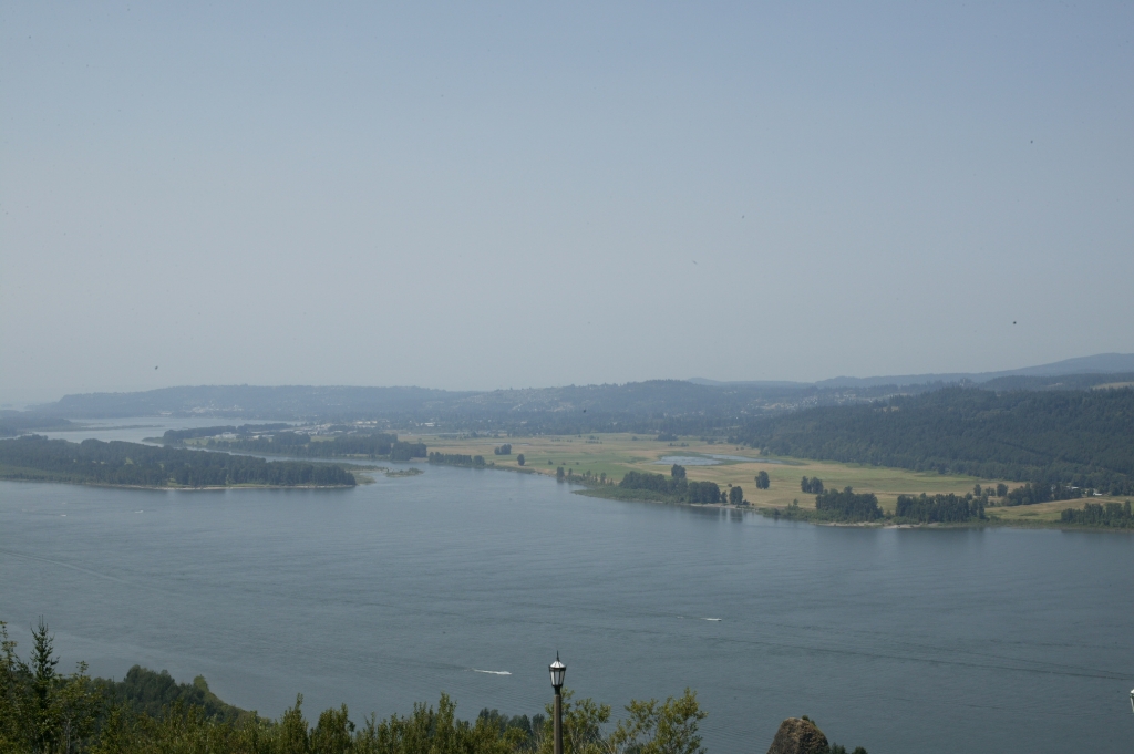
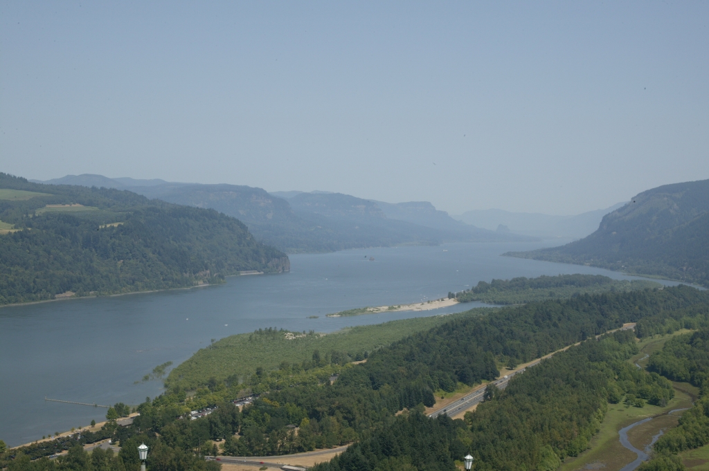
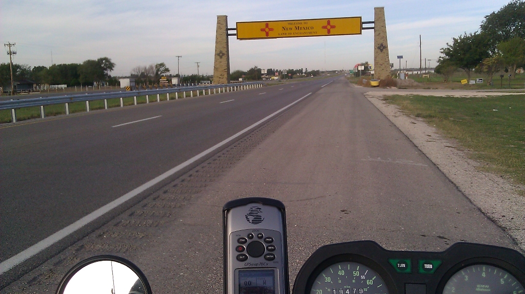
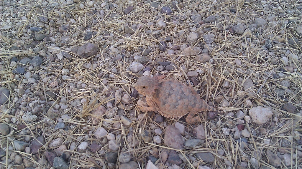
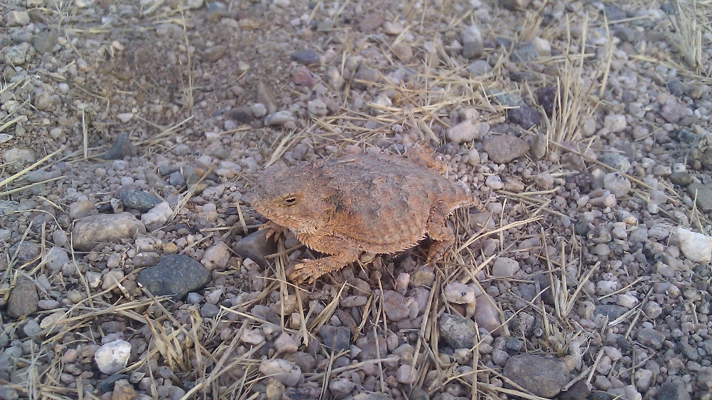
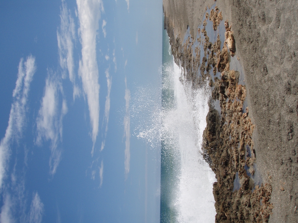
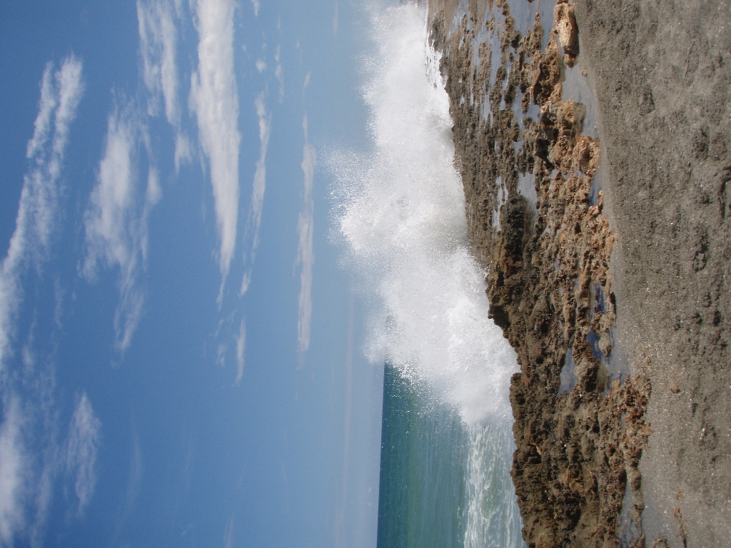
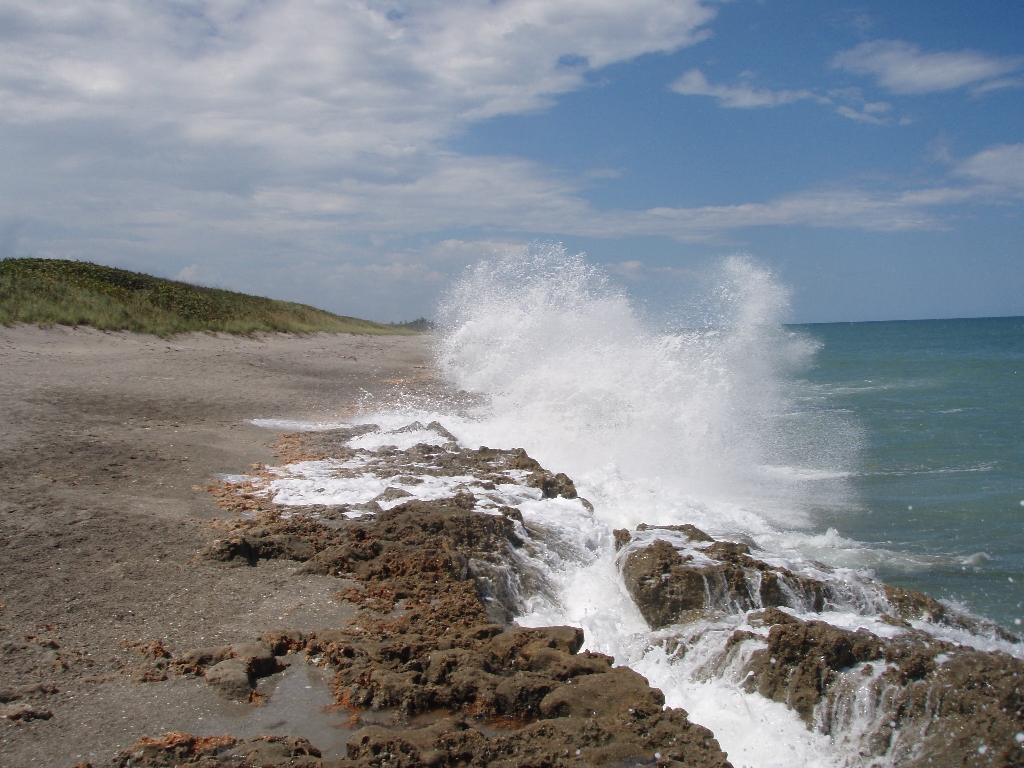
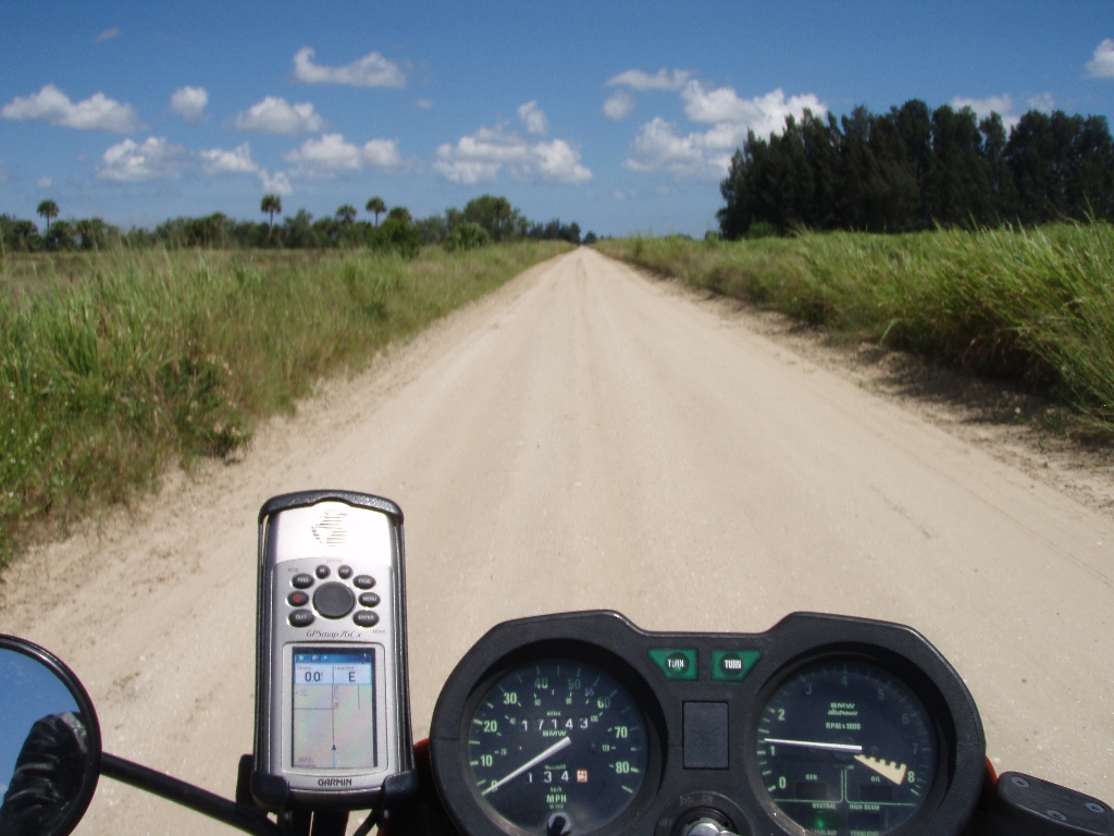
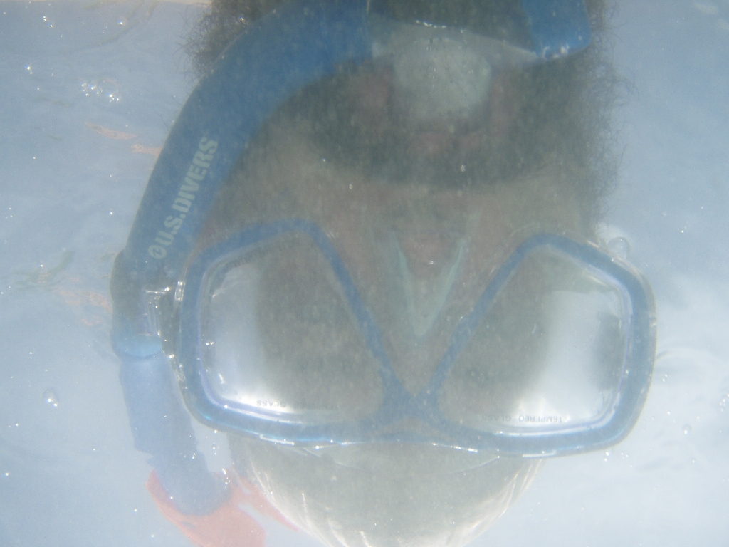
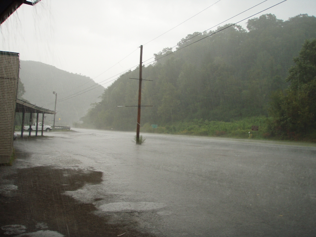
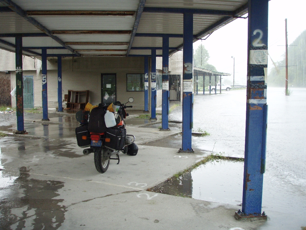
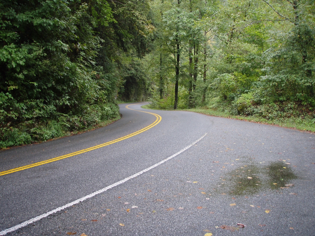
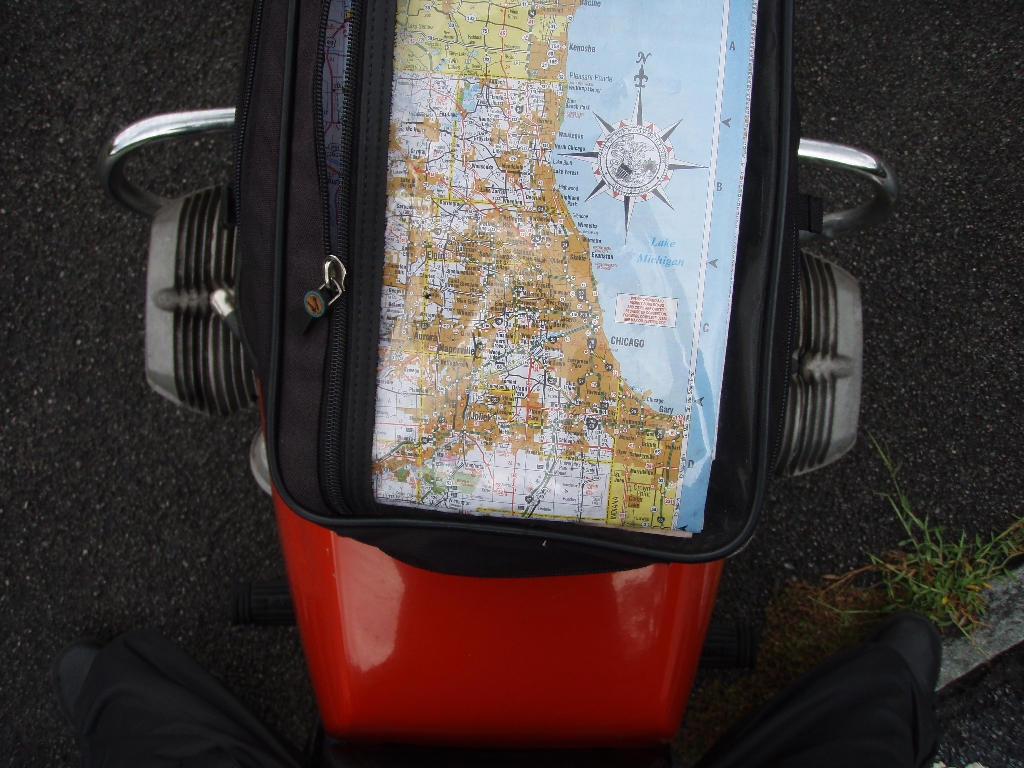
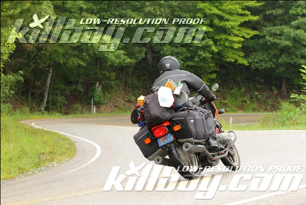
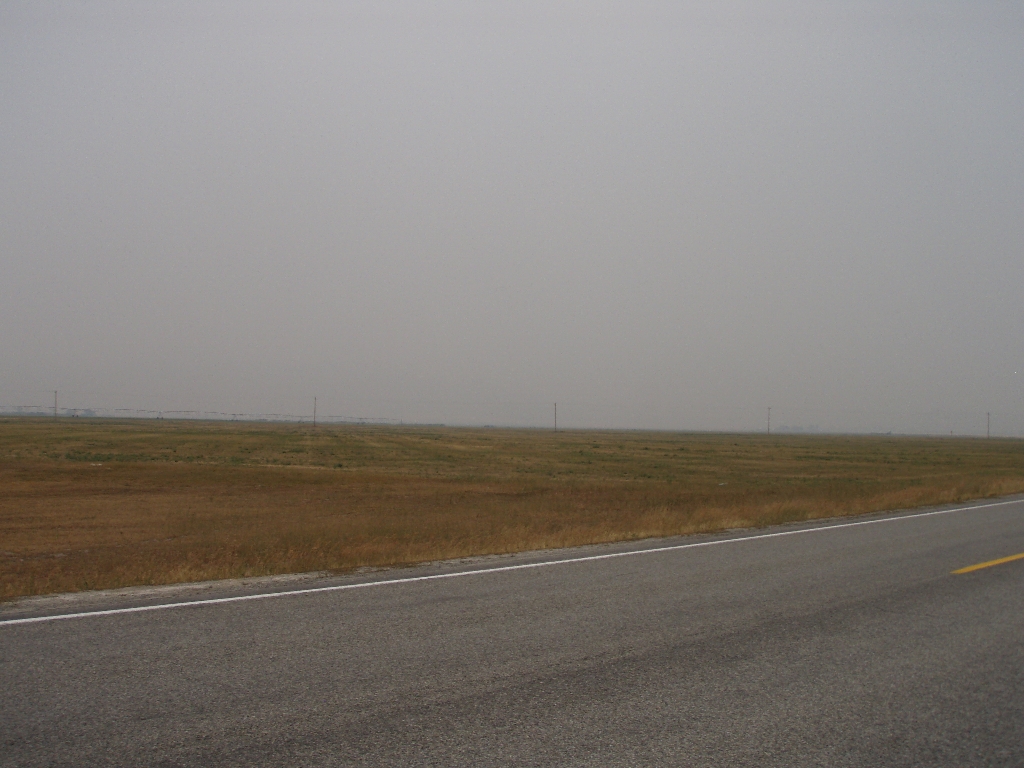
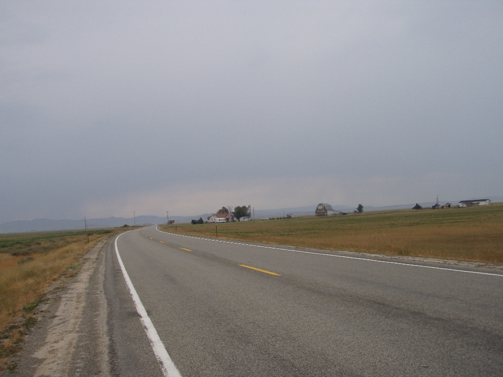
This ride started at Norm’s Restaurant in Santa Monica; cheap food, big portions. We left for a little cruise up the PCH then pause in front of Pepperdine to take in the ocean view. Next, it’s canyon carving in the famed Santa Monica Mountains. We took Latigo Canyon Road and Kanan Dune Road to Rustic Canyon General Store & Grill, 2598 Sierra Creek Rd, Agoura CA 91301. Then, a bit more of the twisties on Mulholland Hwy to Yerba Buena Rd which took us back to the ocean toward our final destination: hiking in Leo Carrillo State Park to a SEA CAVE.
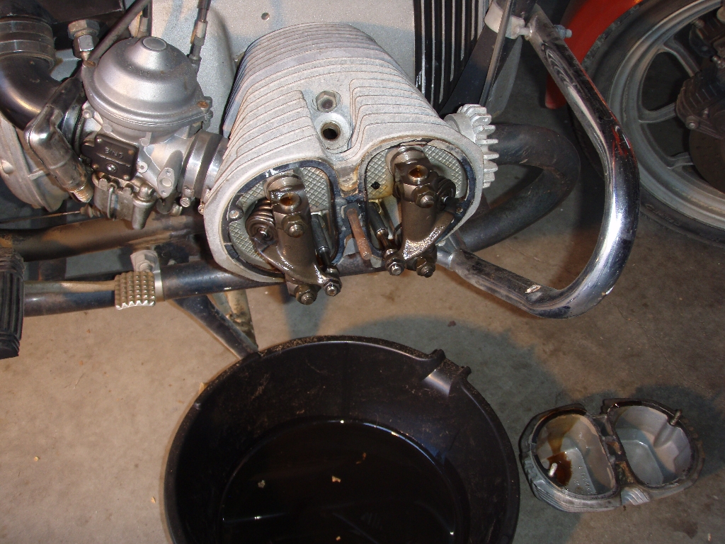
Photos stolen from Facebook, from Marcel M., Richie T., Jeff C. and Walt C. Mine are still not developed yet.


Total distance: 33.5 mi
Total climbing: 8743 ft
Download file: 20130118.gpx
Total climbing: 8743 ft