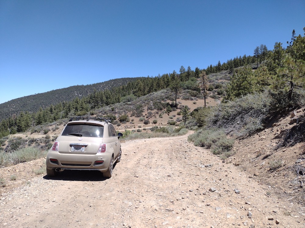
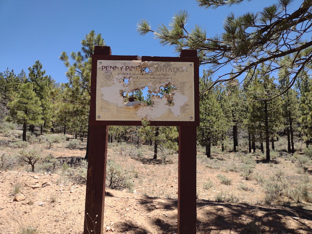
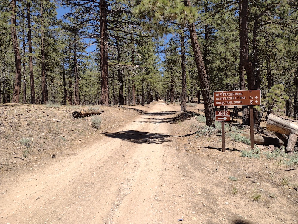
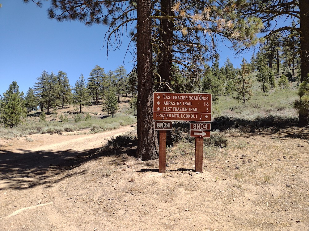
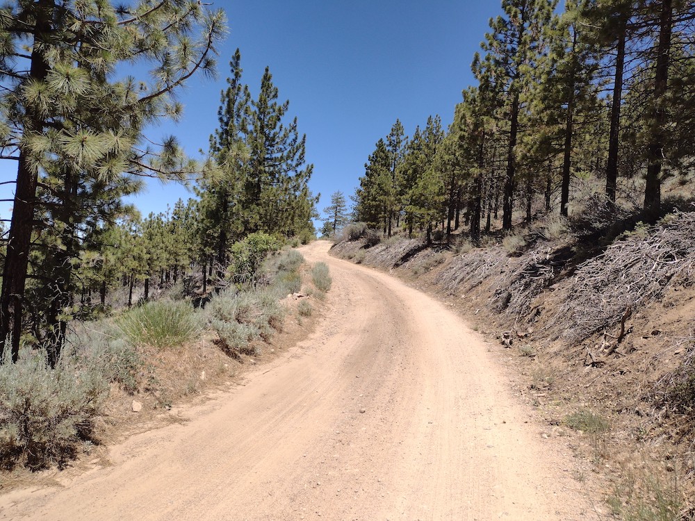
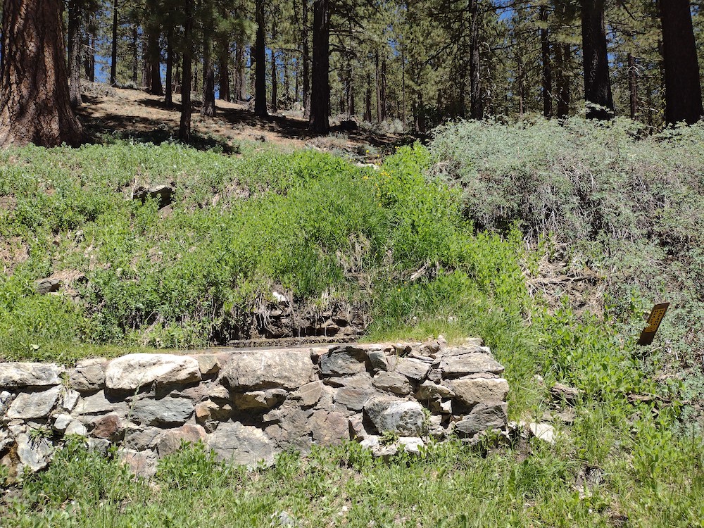
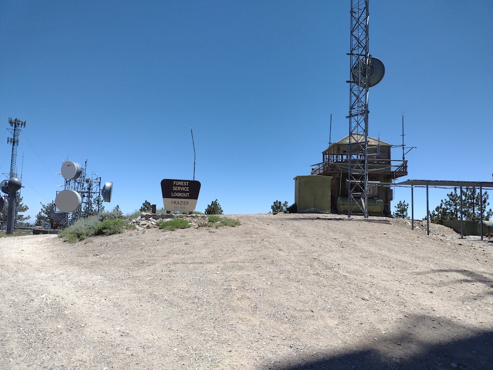
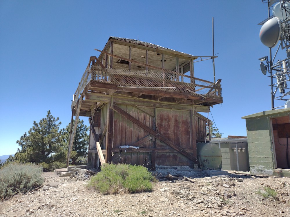
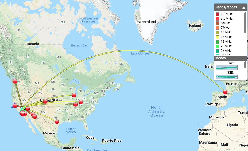
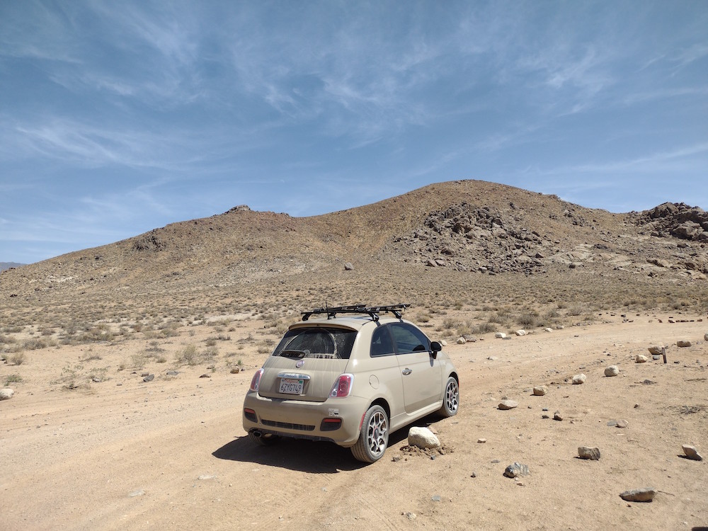
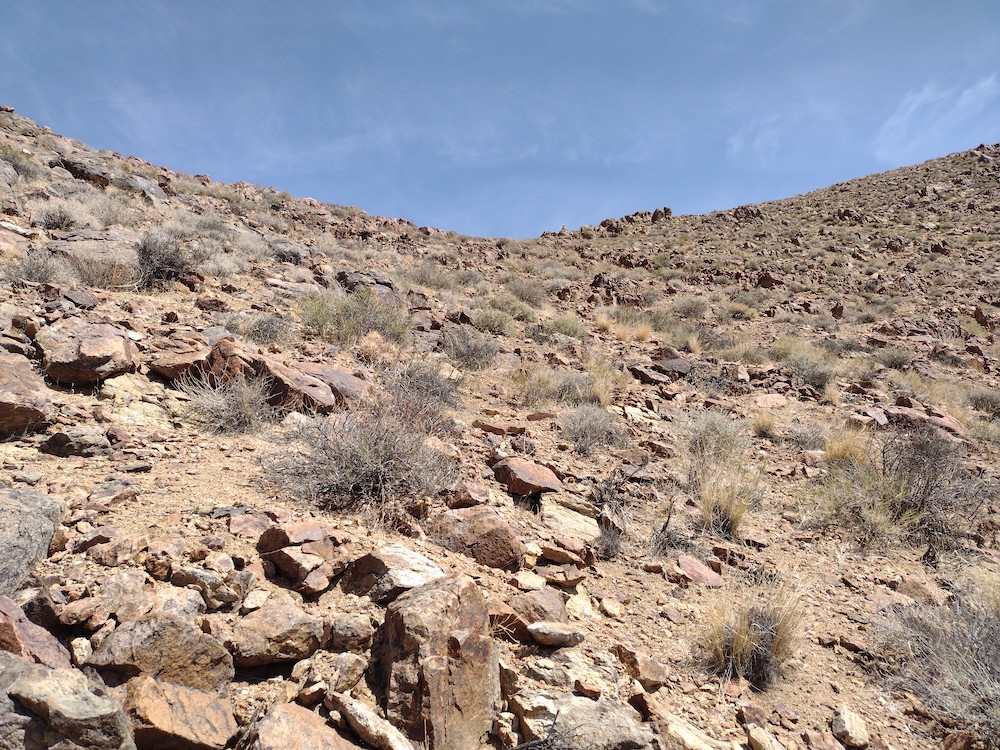
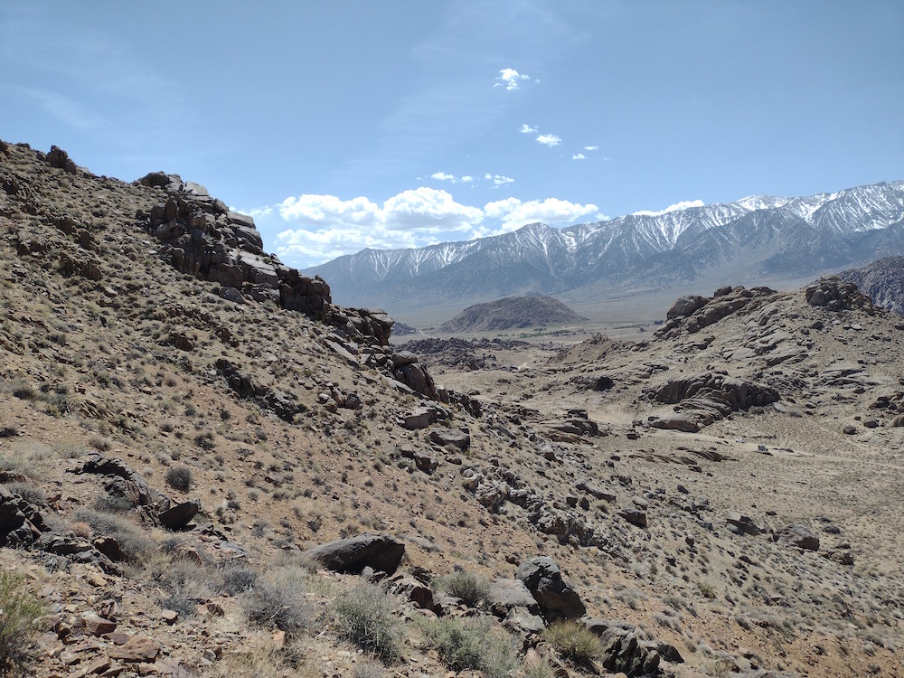
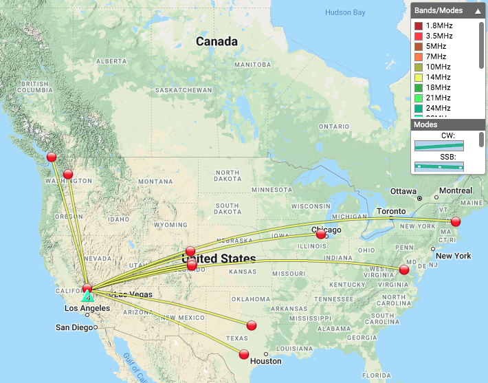
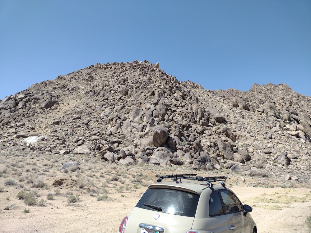
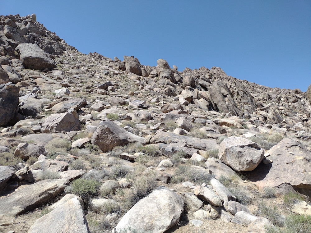
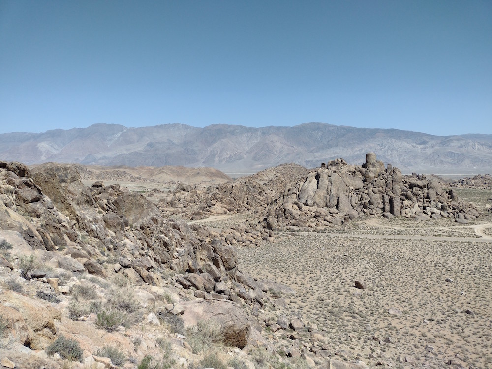
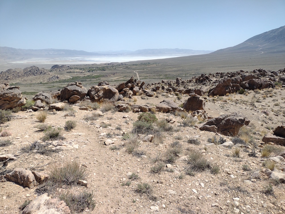
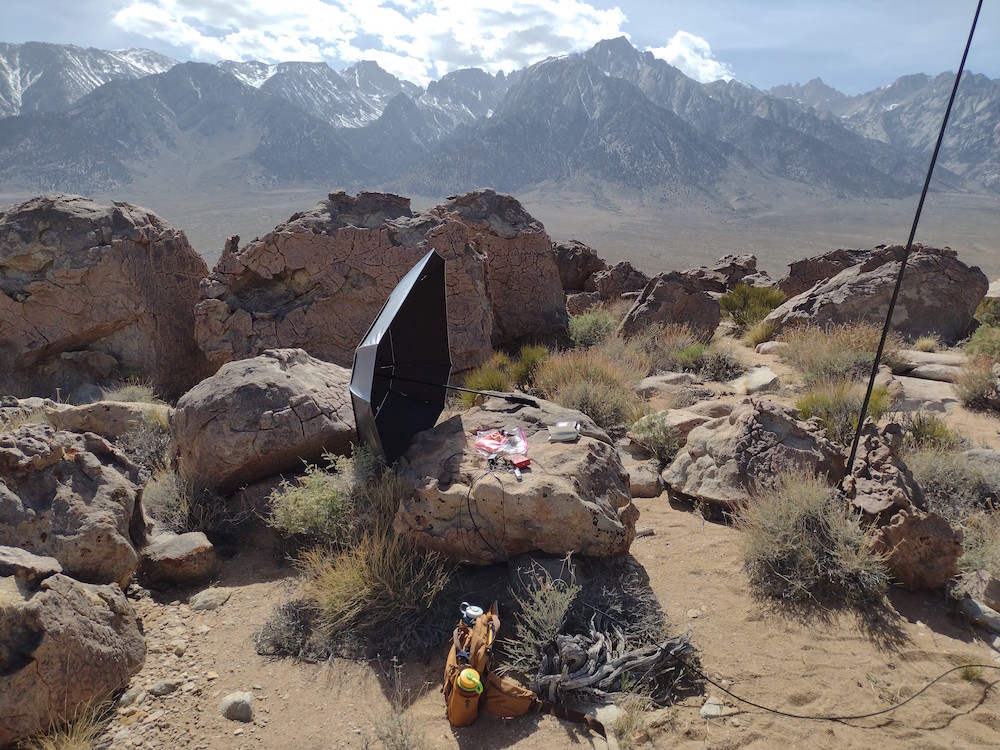
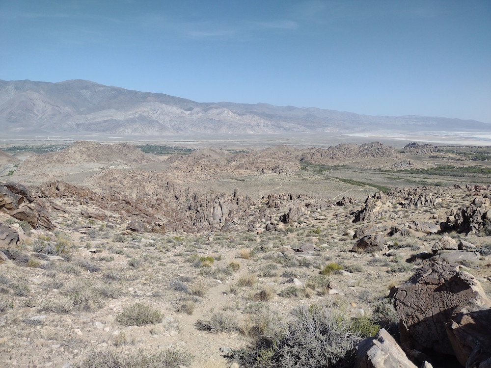
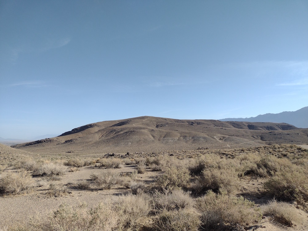
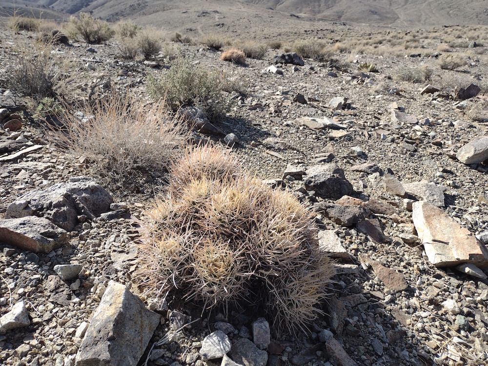
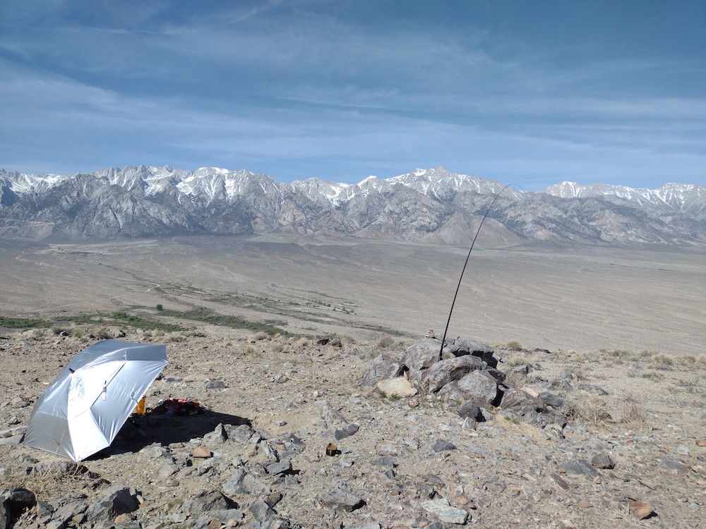
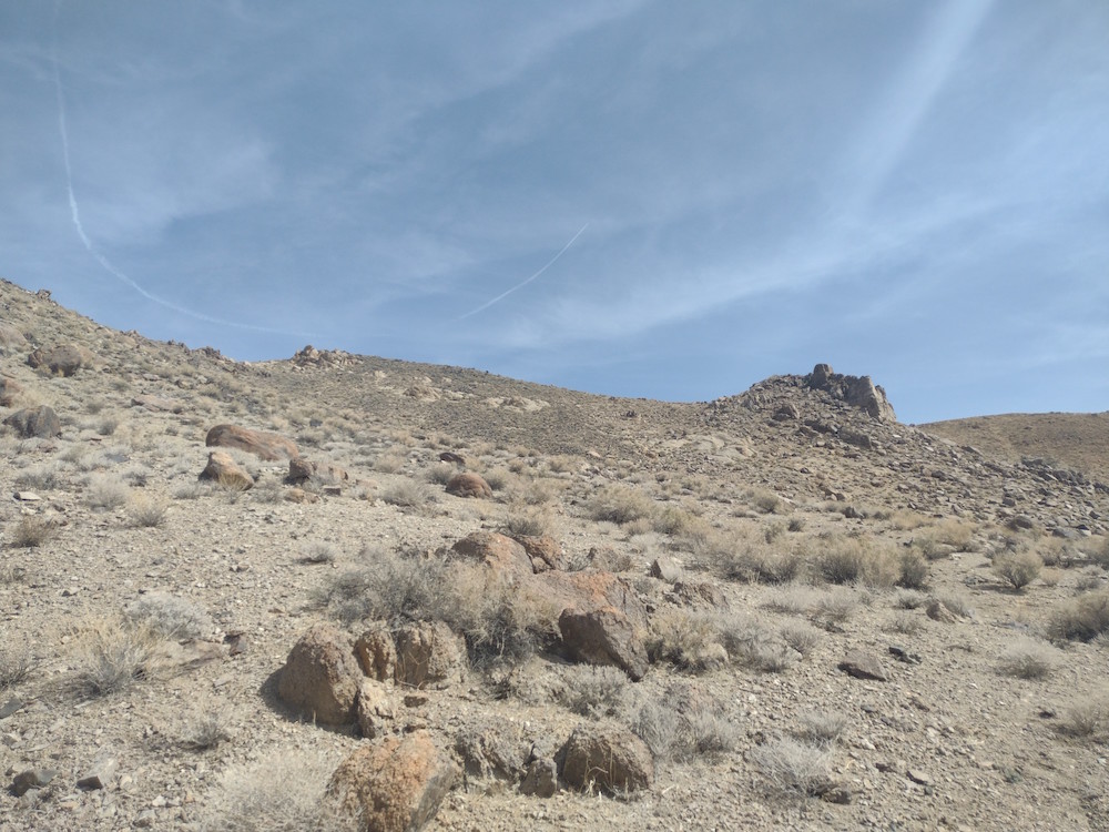
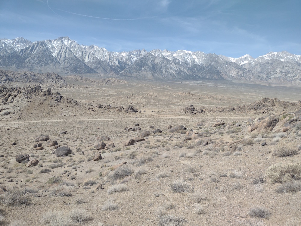
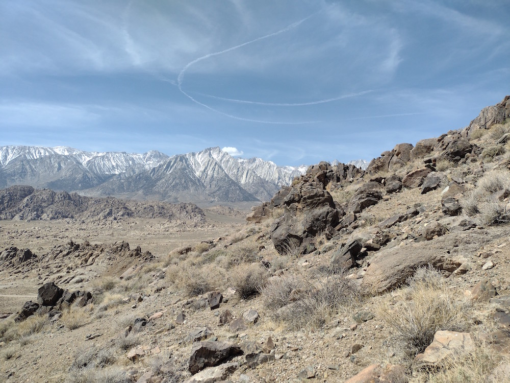
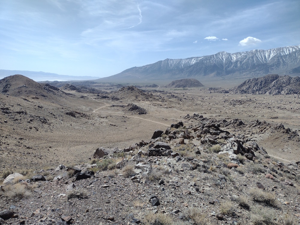
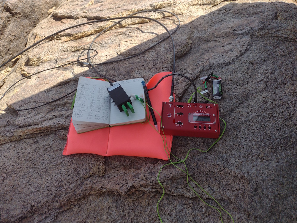
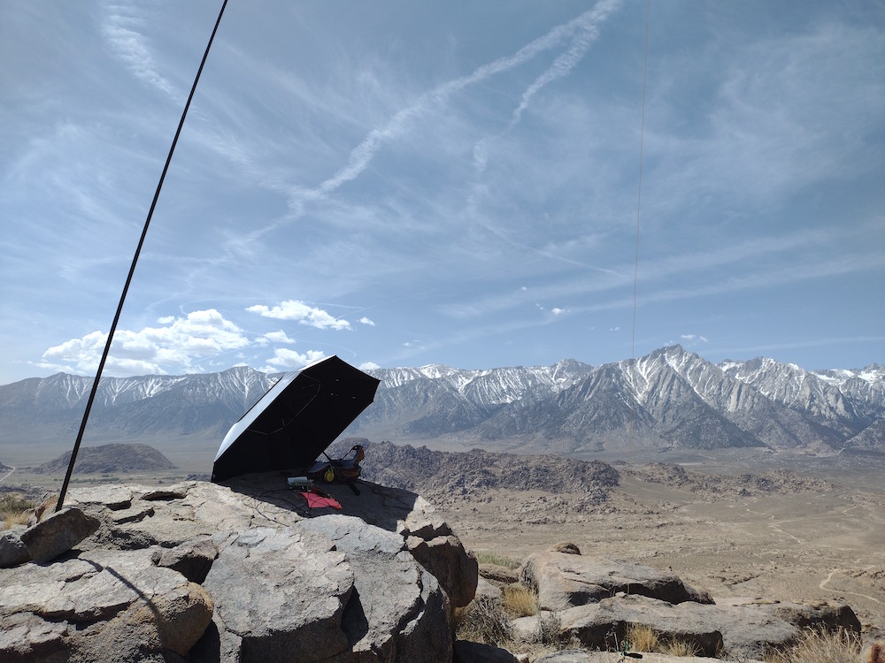
This was my third time attempting to activate Frazier Mountain, but this time I found success. The first time I wanted to drive to the top, but my small commuter car with low profile tires was not the correct vehicle for the task. I returned 6 months later with a mountain bike, but deep snow stopped me a few miles up the road. This time, I drove the commuter car a mile or so up Frazier Mountain Road until it got too rocky, parked on the edge of the road and hiked the rest of the way, which was a bit further than I thought! At the top, I pulled out my HT and immediately heard N6JZT for a quick S2S. After, I used 23cm for one microwave QSO, which I believe was just over 100km, my furthest. I then worked 40m, 30m, and 20m CW for additional contacts. I wanted to activate a few other summits in the area, so I packed everything down and headed down to the car.
https://sotl.as/summits/W6/CC-003
Max elevation: 7933 ft
Total climbing: 4423 ft
Date:07/07/2022 | Summit:W6/CC-003 (Frazier Mountain
| Time | Callsign | Band | Mode | Notes |
|---|---|---|---|---|
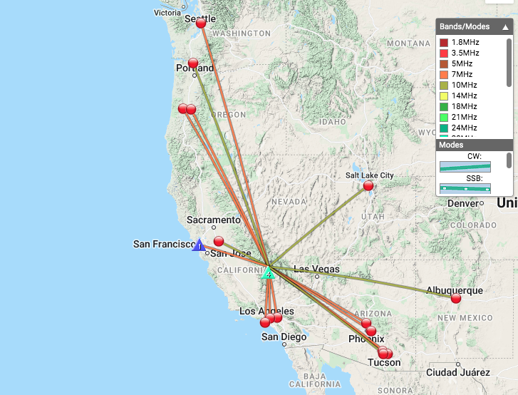
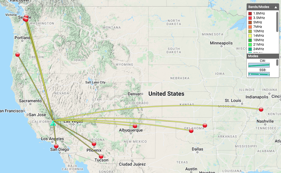
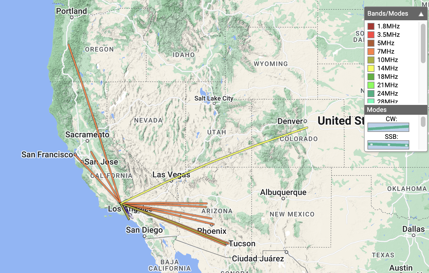
| 21:36 | N6JZT | 144MHz | FM | S45 R55 S2S W6/CT-014 |
| 21:37 | KK6TDU | 144MHz | FM | S45 R59 |
| 21:38 | KI6SLA | 144MHz | FM | S45 R59 |
| 21:49 | NT6E | 1240MHz | FM | %QRA%DM03TU% S51 R51 |
| 21:59 | W7RV | 7MHz | CW | S55N R53N |
| 22:00 | K6YK | 7MHz | CW | S57N R58N |
| 22:01 | K6EL | 7MHz | CW | S53N R55N S2S W6/NC-423 |
| 22:02 | KF6HI | 7MHz | CW | S58N R54N |
| 22:03 | N7CW | 7MHz | CW | S53N R55N |
| 22:03 | KR7RK | 7MHz | CW | S55N R54N |
| 22:04 | AF7M | 7MHz | CW | S56N R55N |
| 22:06 | KB7HH | 7MHz | CW | S33N R53N |
| 22:07 | W6TDX | 7MHz | CW | S53N R55N |
| 22:09 | K6STR | 7MHz | CW | S57N R55N |
| 22:22 | N7PHI | 10MHz | CW | S33N R53N |
| 22:24 | K6HPX | 10MHz | CW | S57N R53N |
| 22:26 | N6JZT | 10MHz | CW | S58N R599 S2S W6/CT-014 |
| 22:40 | N0IPA | 14MHz | CW | S32N R55N |