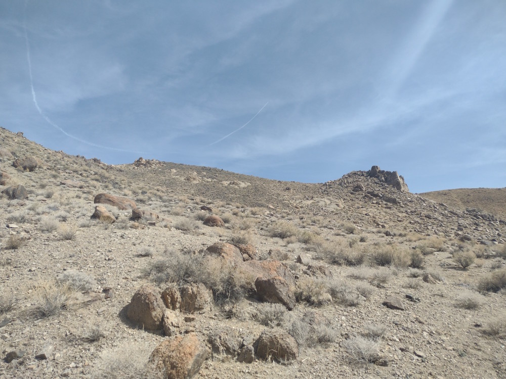
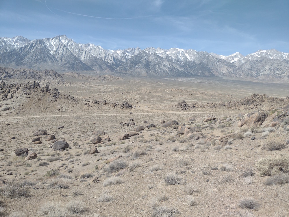
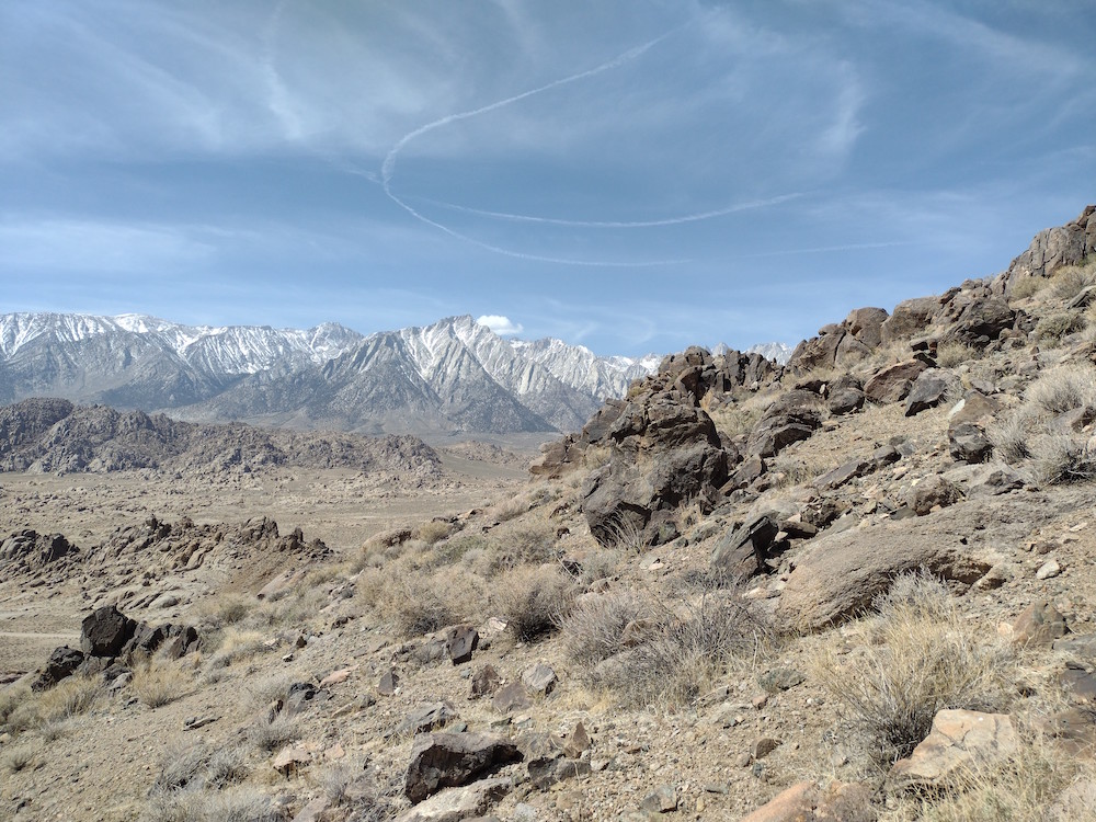
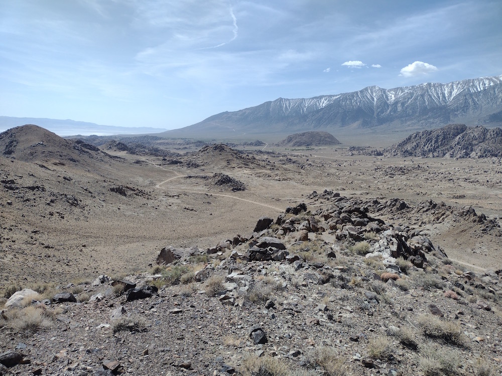
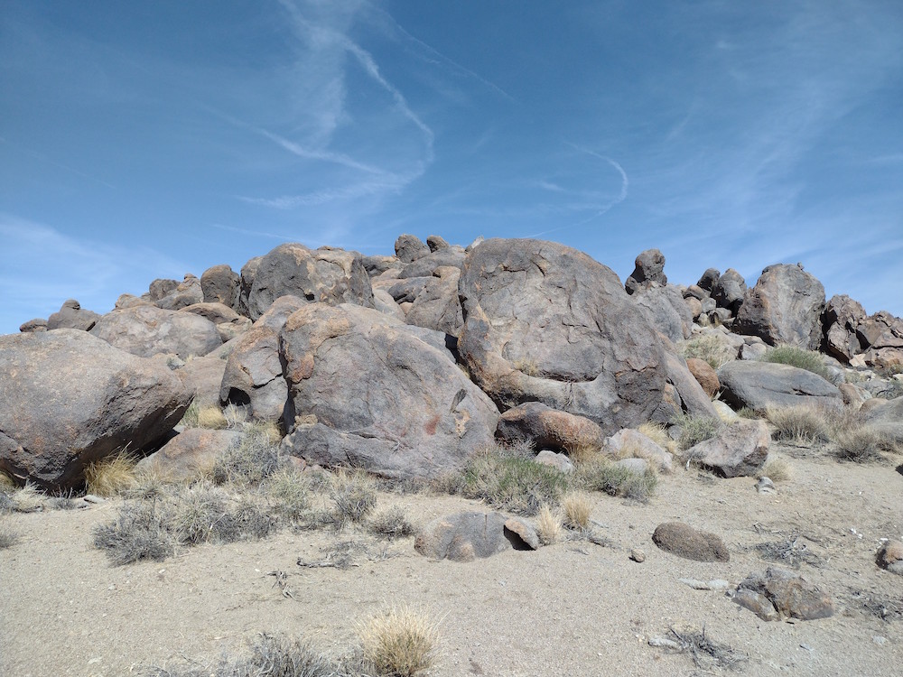
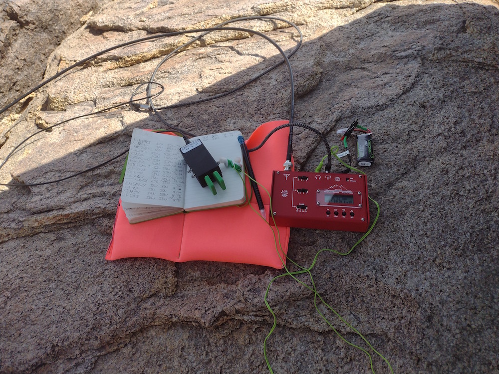
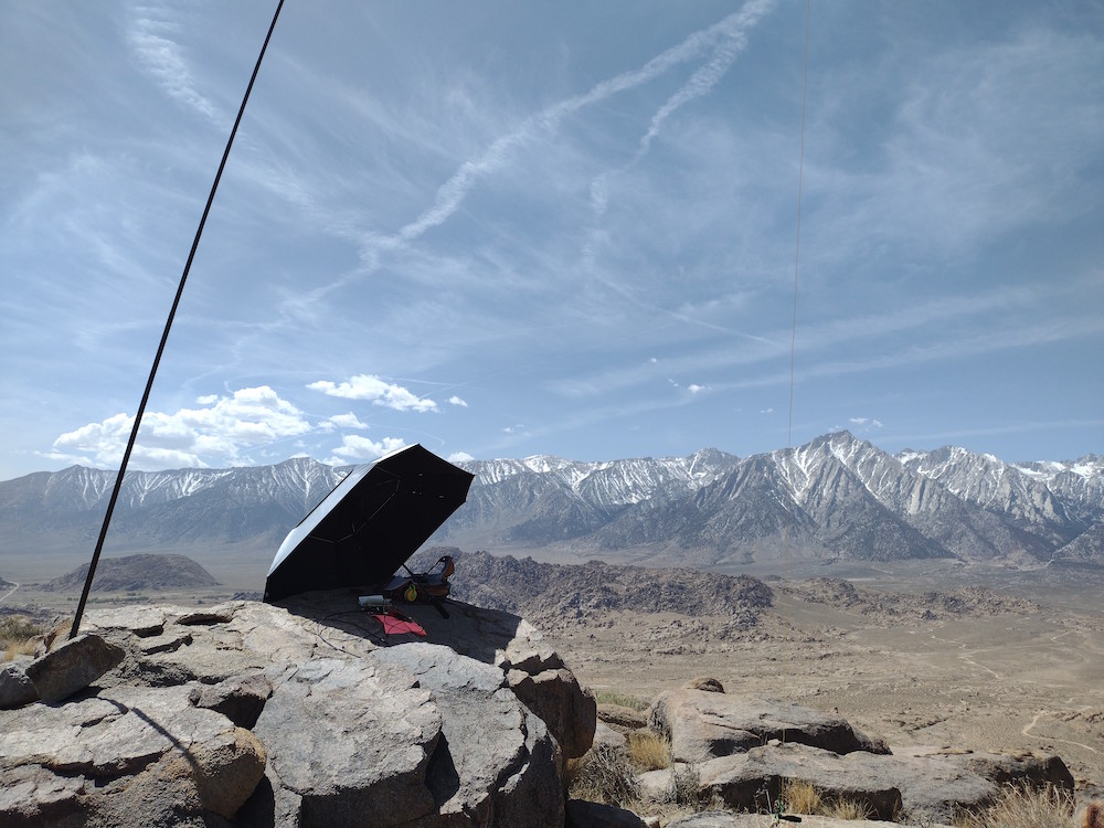
This was my third summit of four on a solo camping trip in Lone Pine. The hike up was a relatively short cross country jaunt, less than a mile, but just under 1K elevation gain so kinda steep. Up top I used a tri-band vertical; not much room for a end fed. Worked 20,30,40M CW for about 30 minutes before packing down and heading to W6/IN-048
https://sotl.as/summits/W6/SS-636
Total distance: 1.31 mi
Total climbing: 984 ft
Download file: W6SS636.gpx
Total climbing: 984 ft
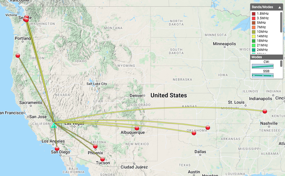
Date:08/04/2022 | Summit:W6/SS-636 (Alabama Hills)
| Time | Callsign | Band | Mode | Notes |
|---|---|---|---|---|
| 18:40 | KN6FNY | 10MHz | CW | S58N R55N |
| 18:41 | NS7P | 10MHz | CW | S55N R55N |
| 18:42 | K6HPX | 10MHz | CW | S57N R559 |
| 18:42 | KF6HI | 10MHz | CW | S58N R55N |
| 18:44 | WW7D | 10MHz | CW | S339 R319 |
| 18:47 | WU7H | 10MHz | CW | S22N R33N |
| 18:59 | K7WFM | 14MHz | CW | S559 R519 |
| 19:00 | WA5AFD | 14MHz | CW | S56N R45N |
| 19:01 | WU7H | 14MHz | CW | S599 R55N |
| 19:01 | N7SM | 14MHz | CW | S57N R599 |
| 19:03 | WA2USA | 14MHz | CW | S51N R33N |
| 19:06 | W5ODS | 14MHz | CW | S52N R43N |