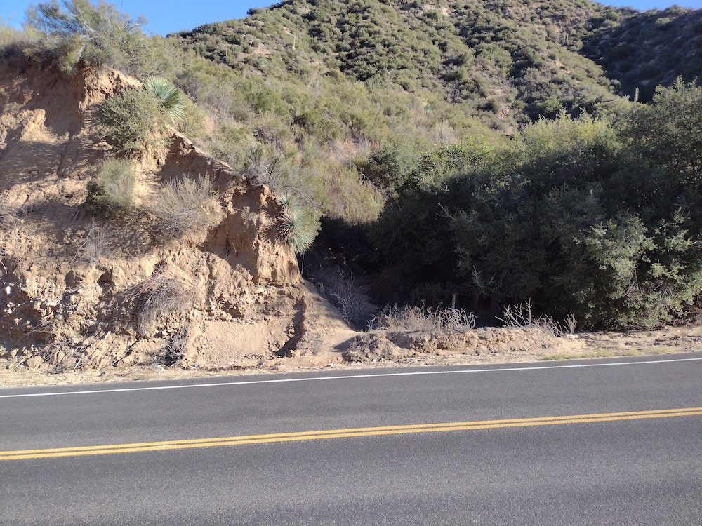
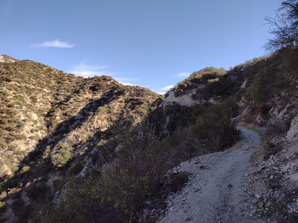
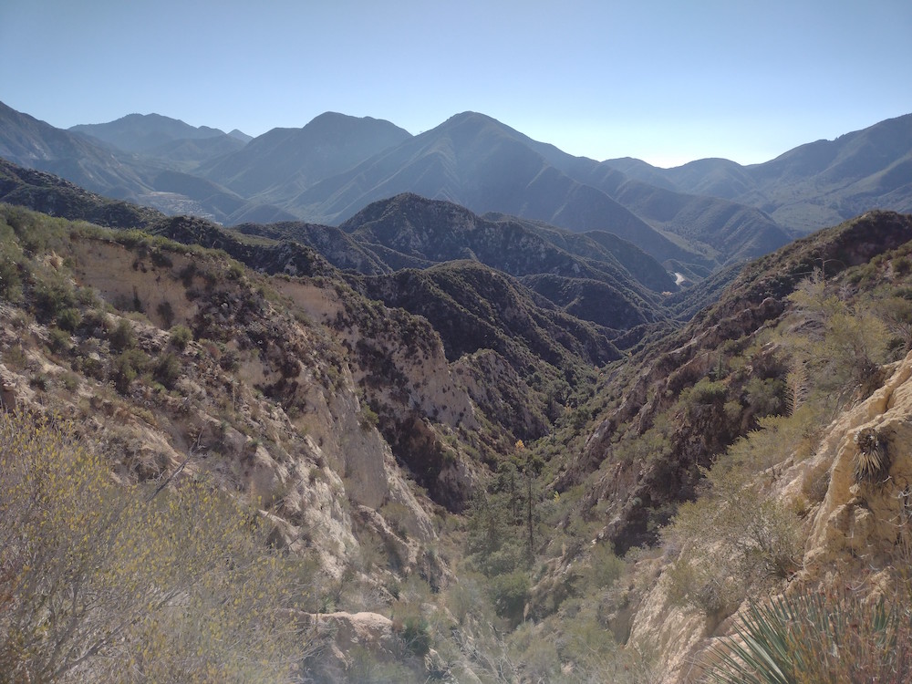
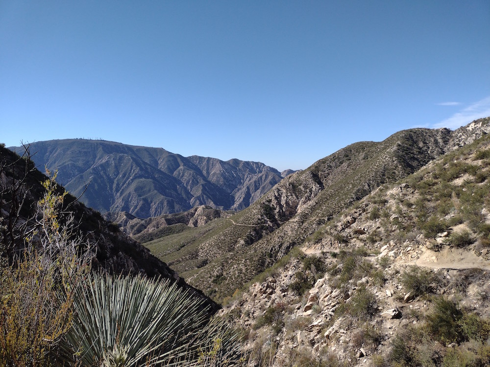
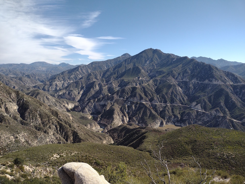
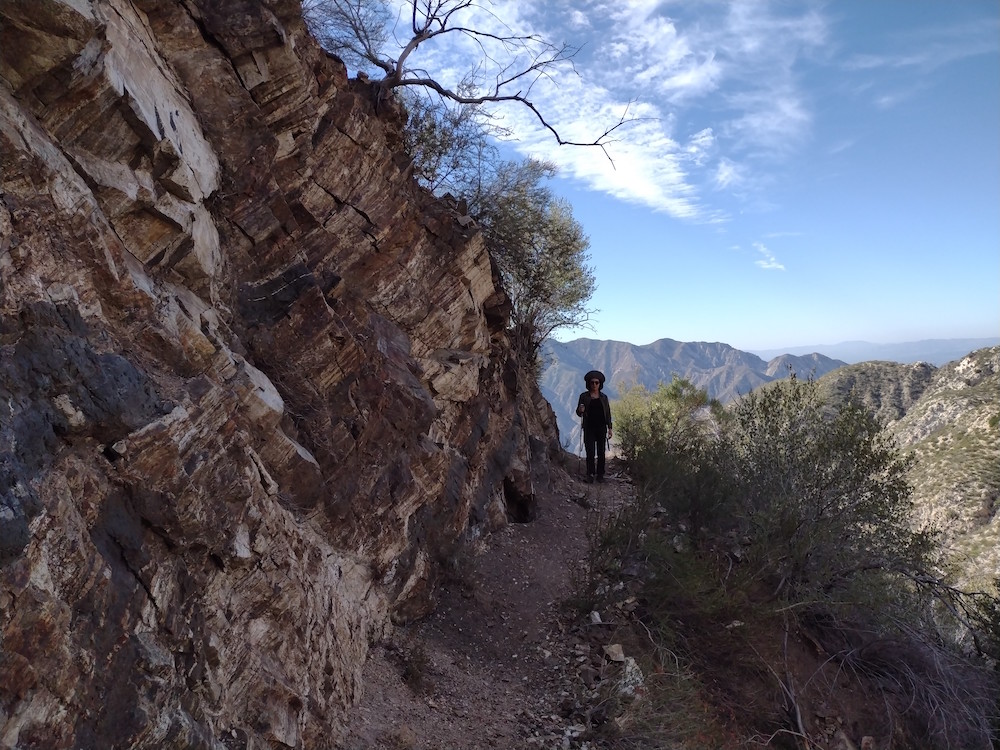
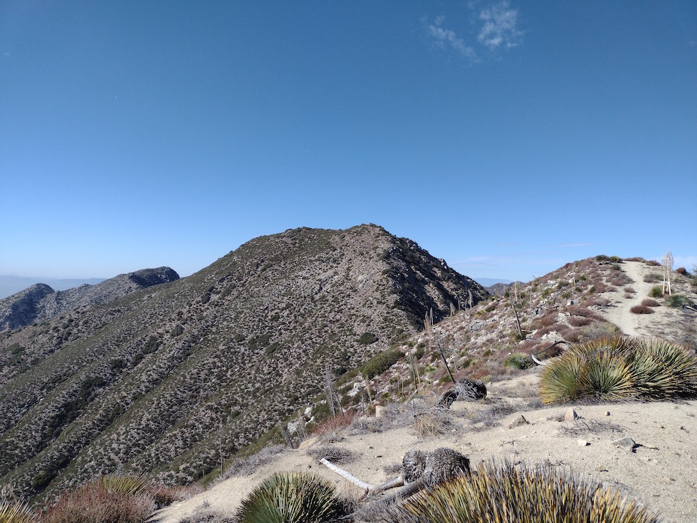
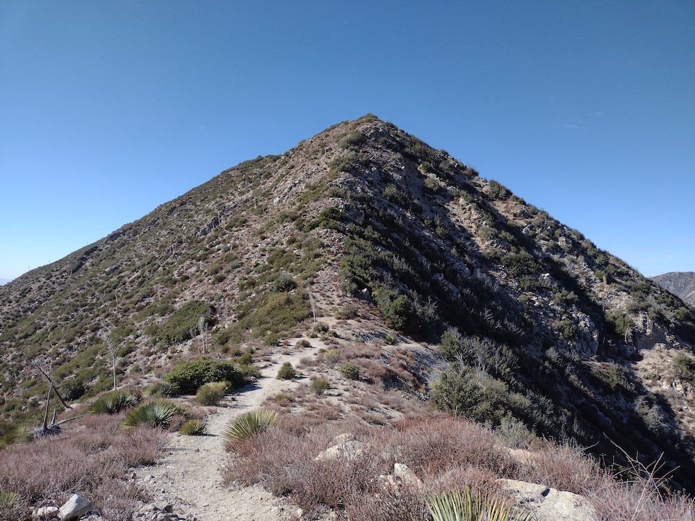
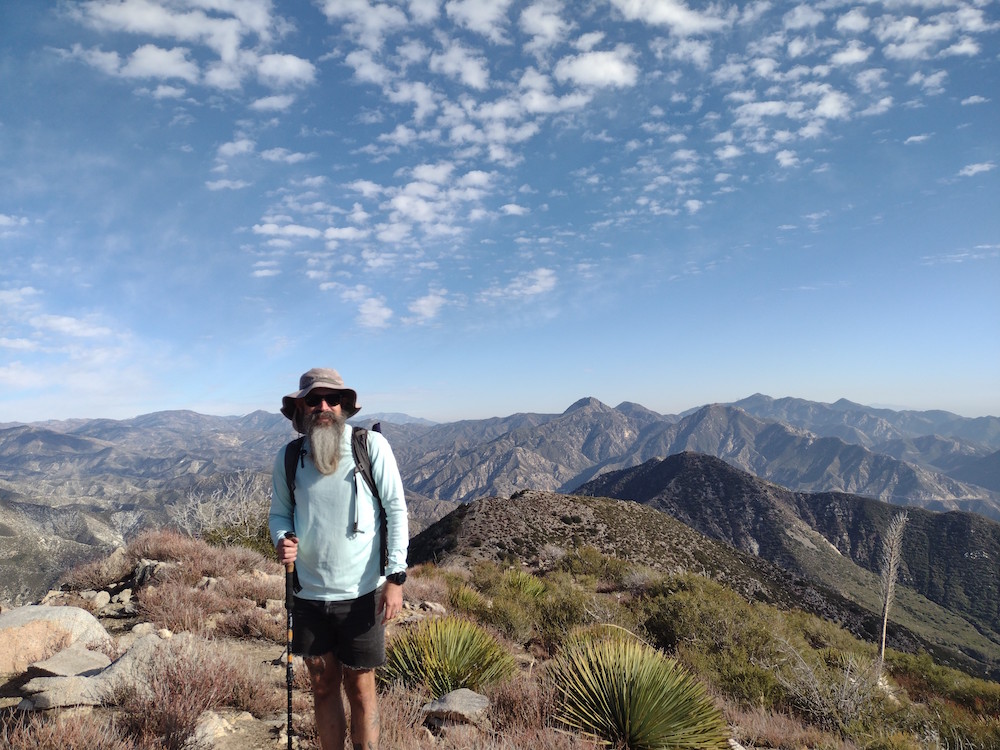
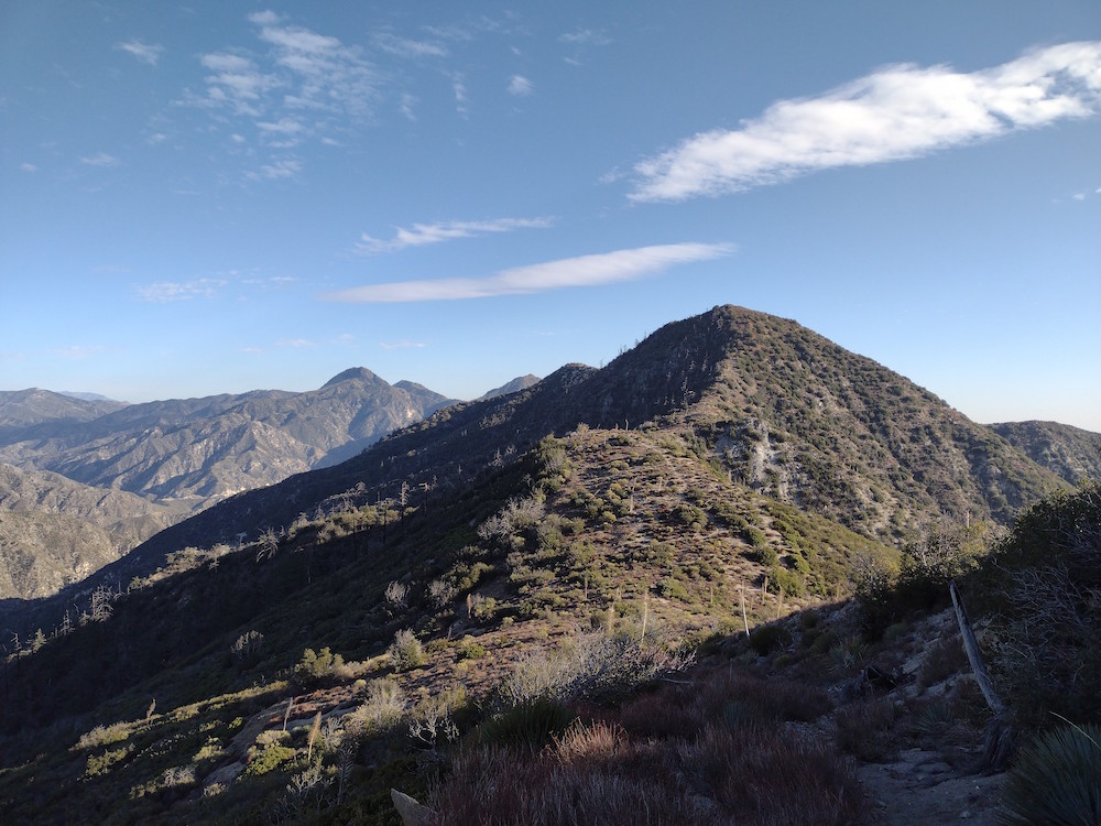
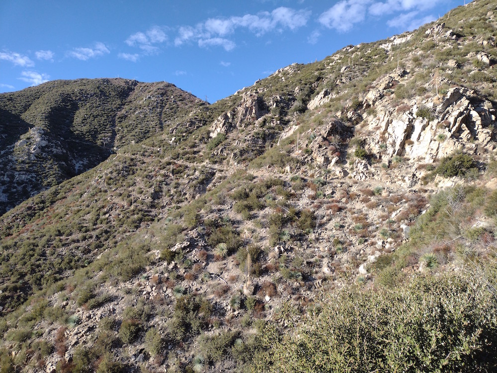
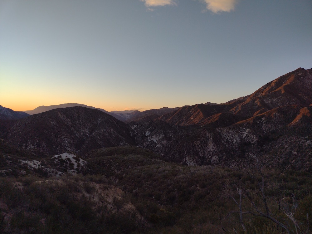
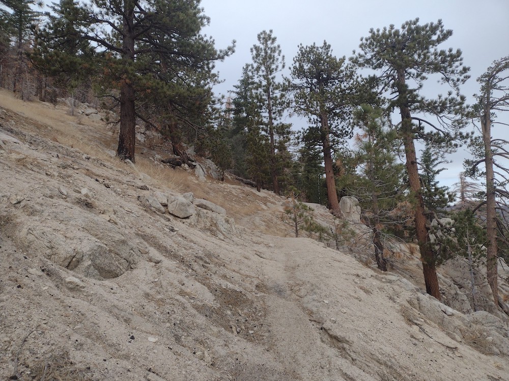
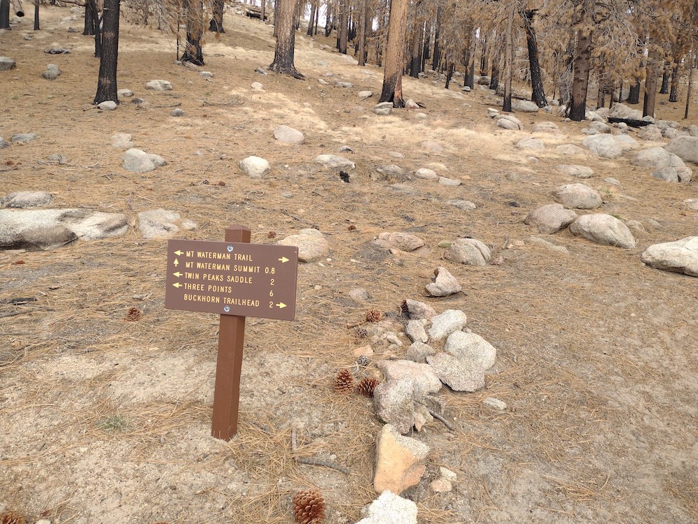
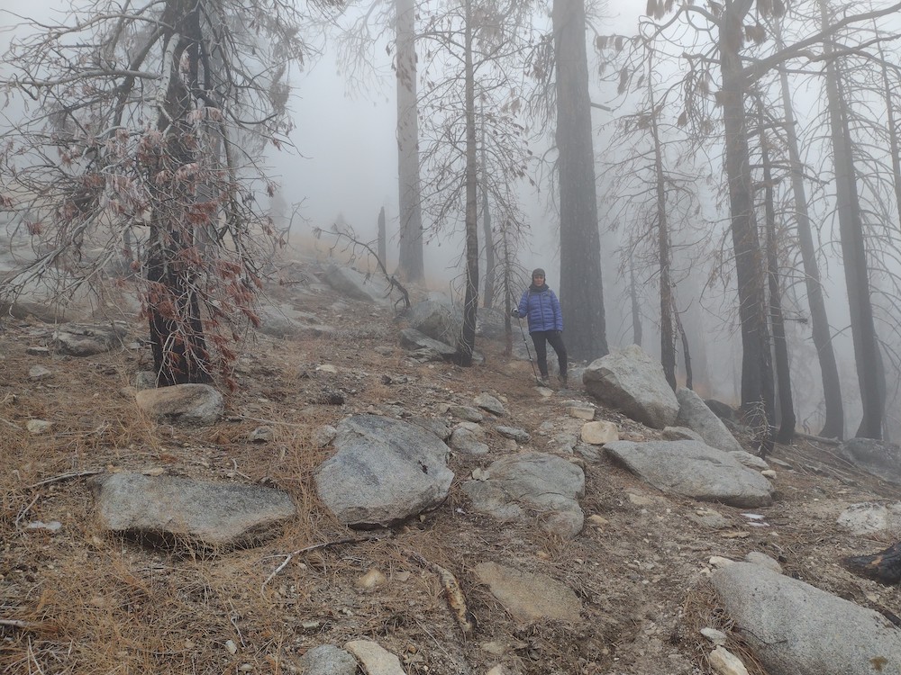
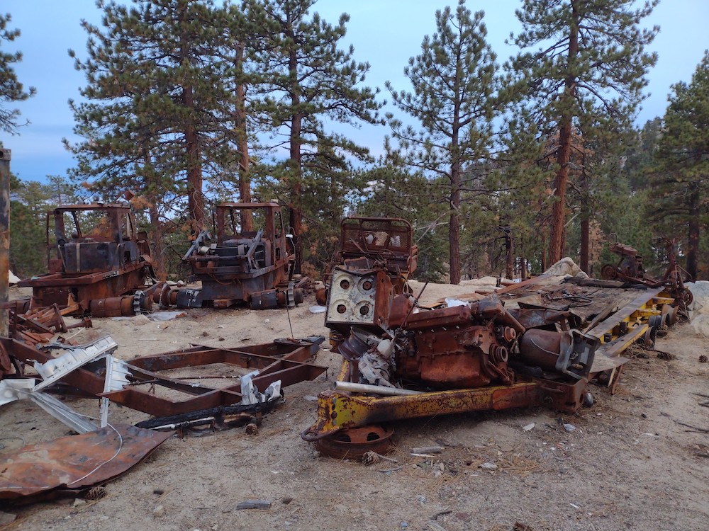
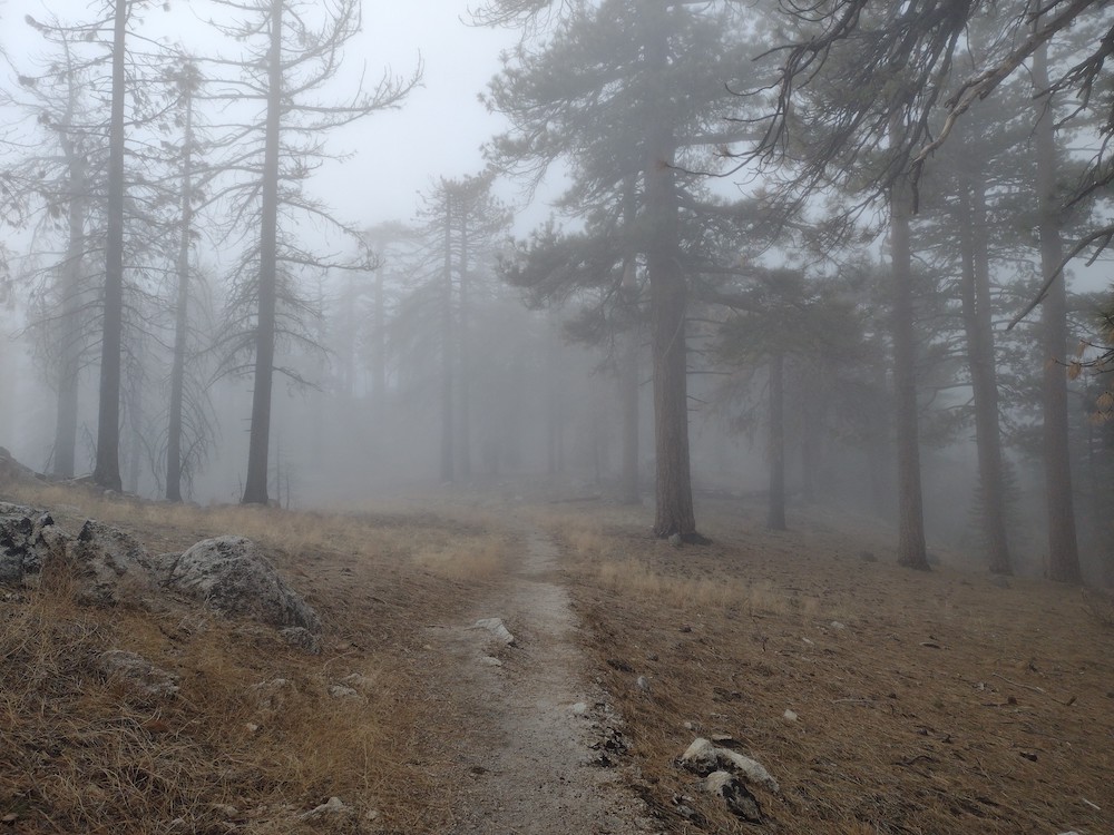
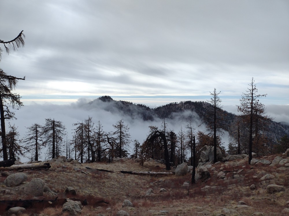
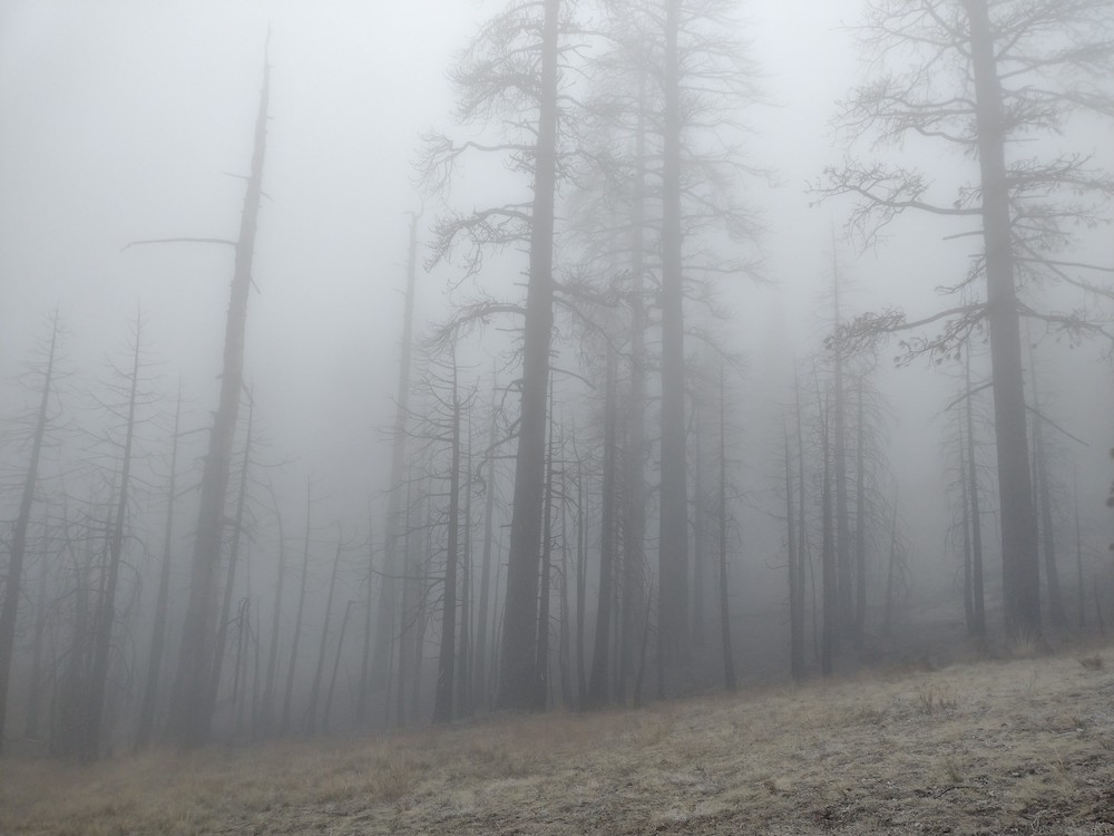
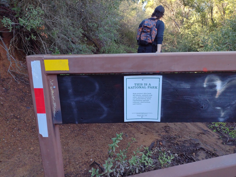
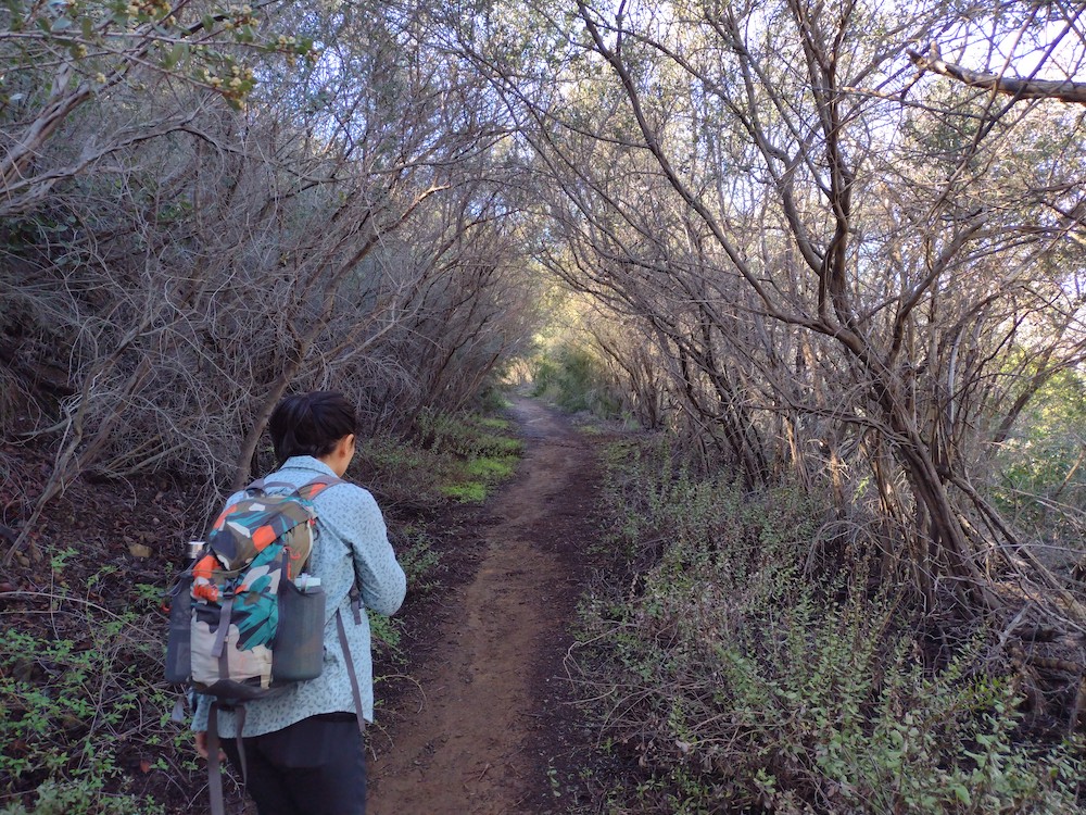
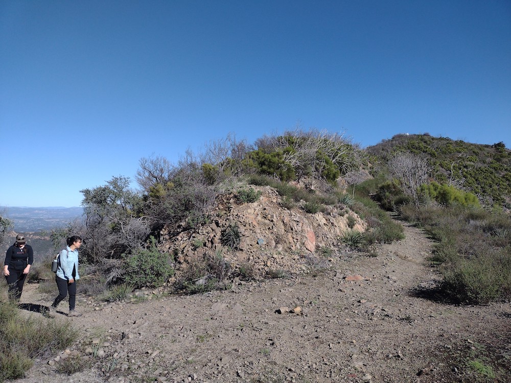
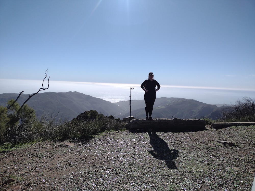
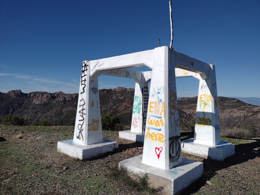
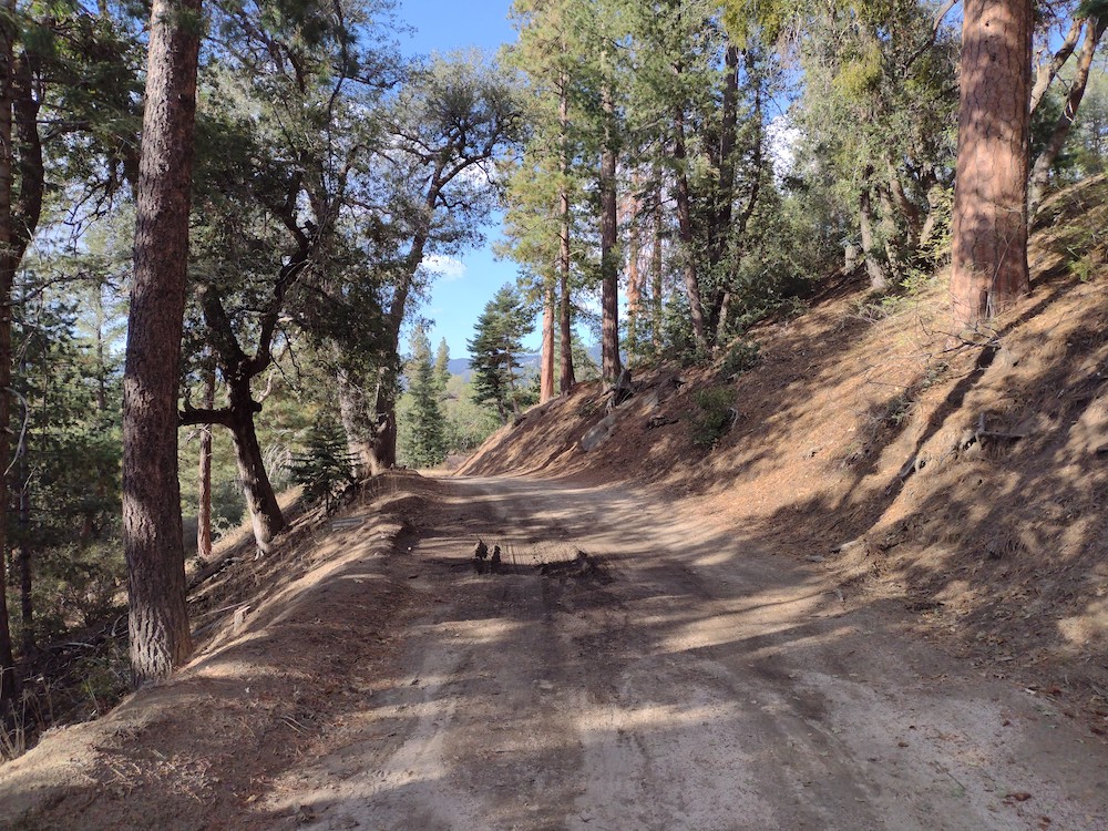
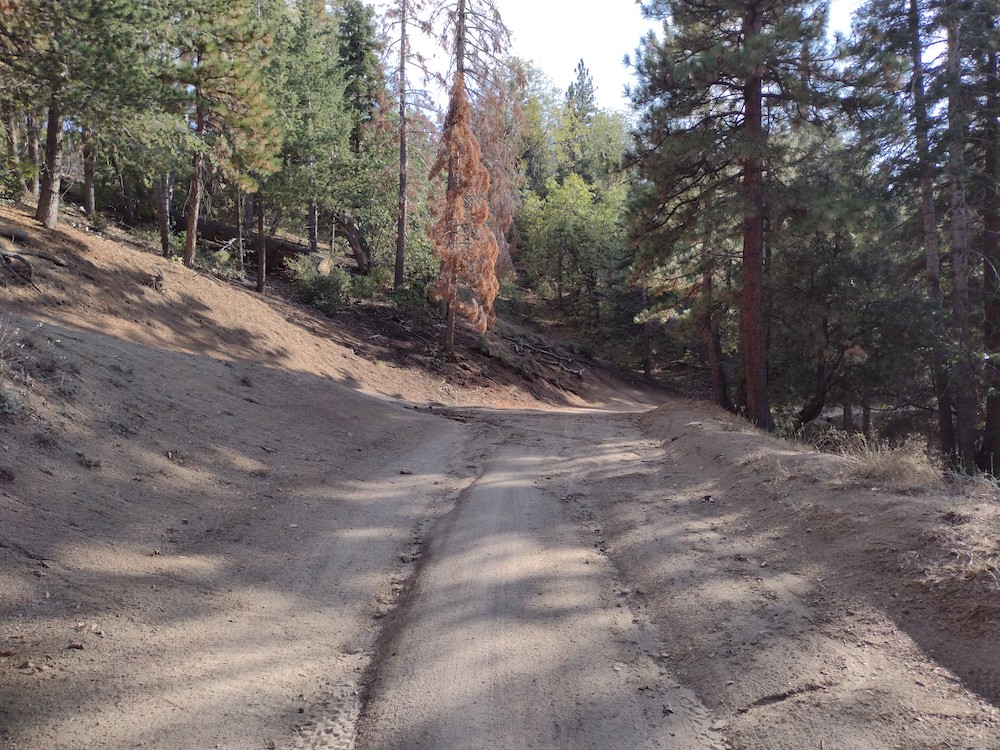
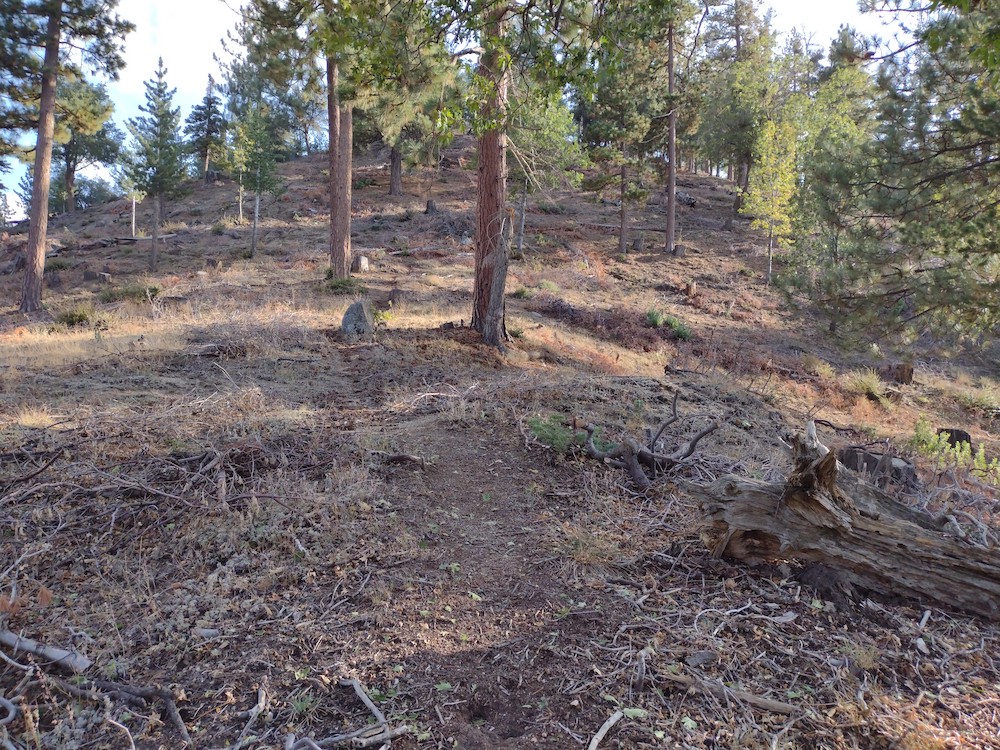
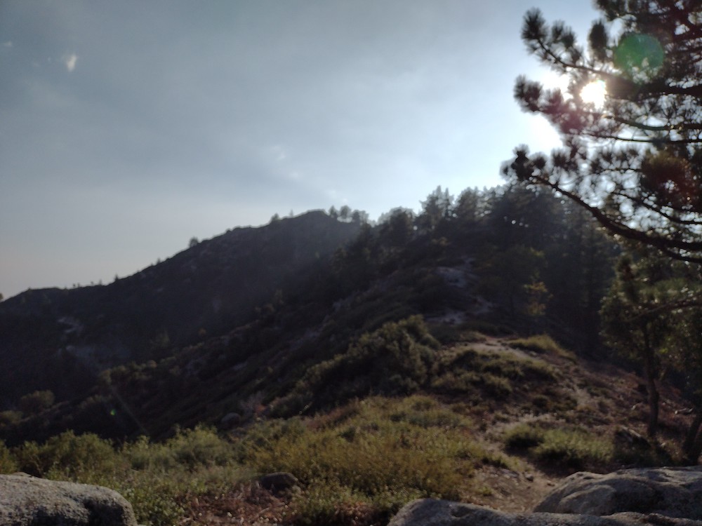
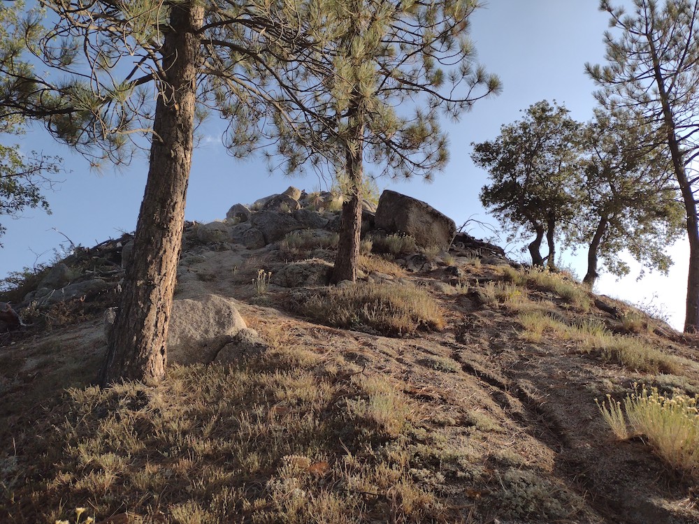
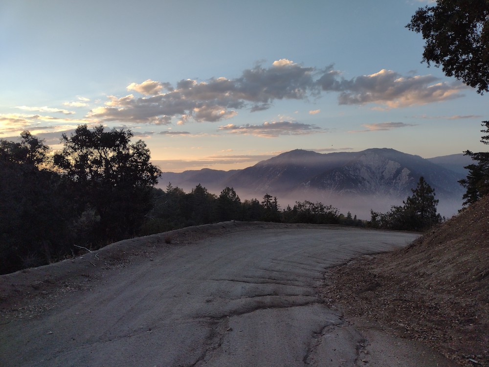
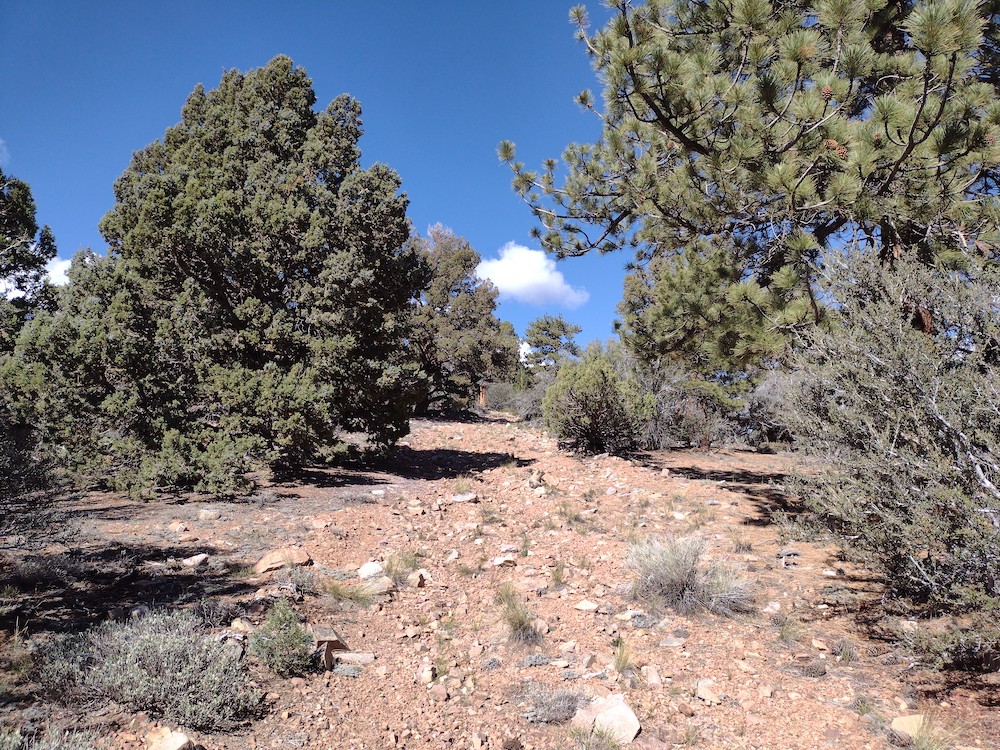
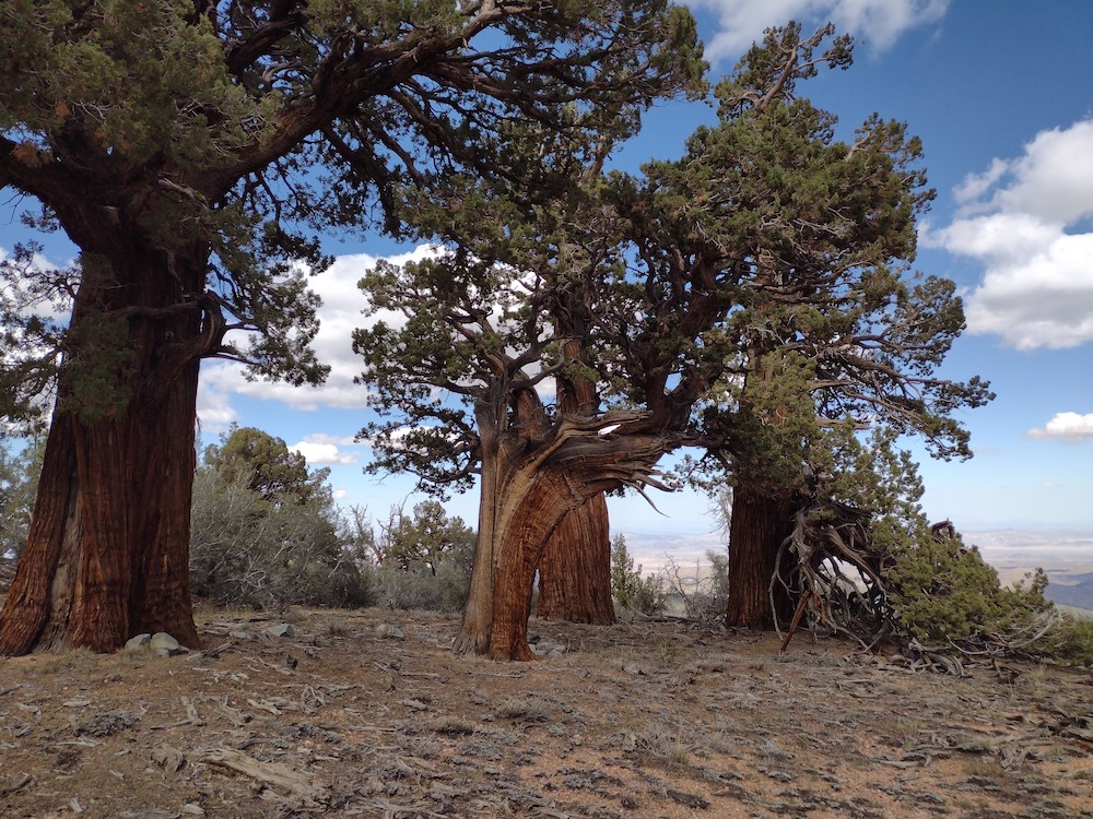
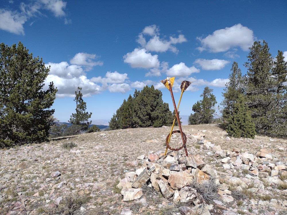
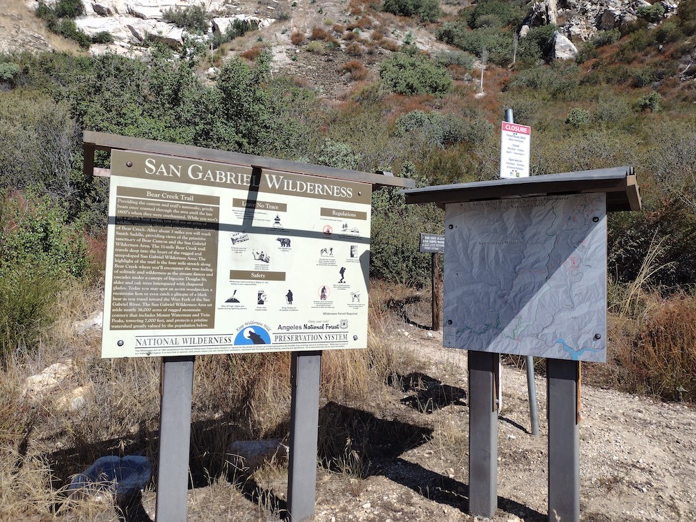
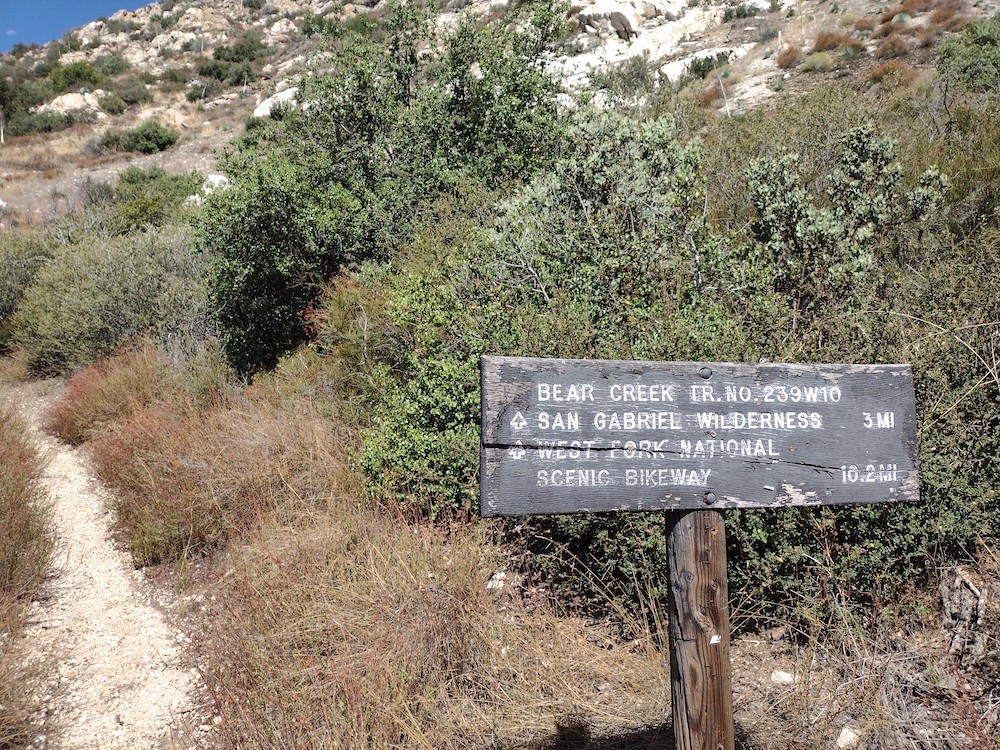
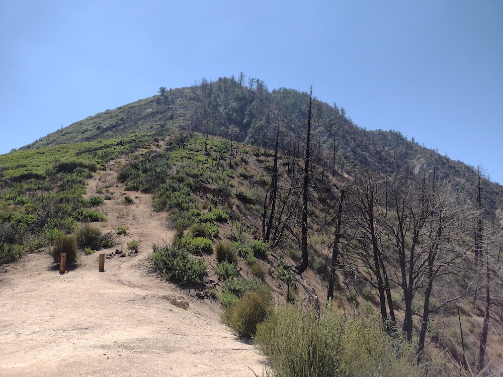
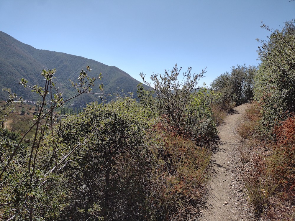
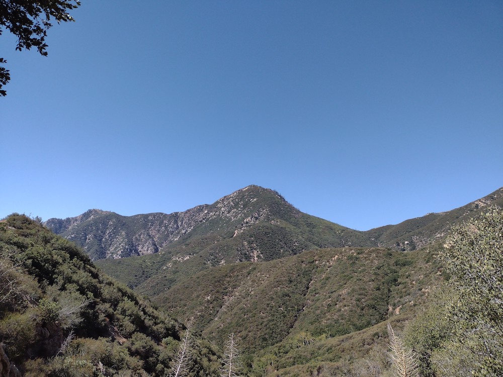
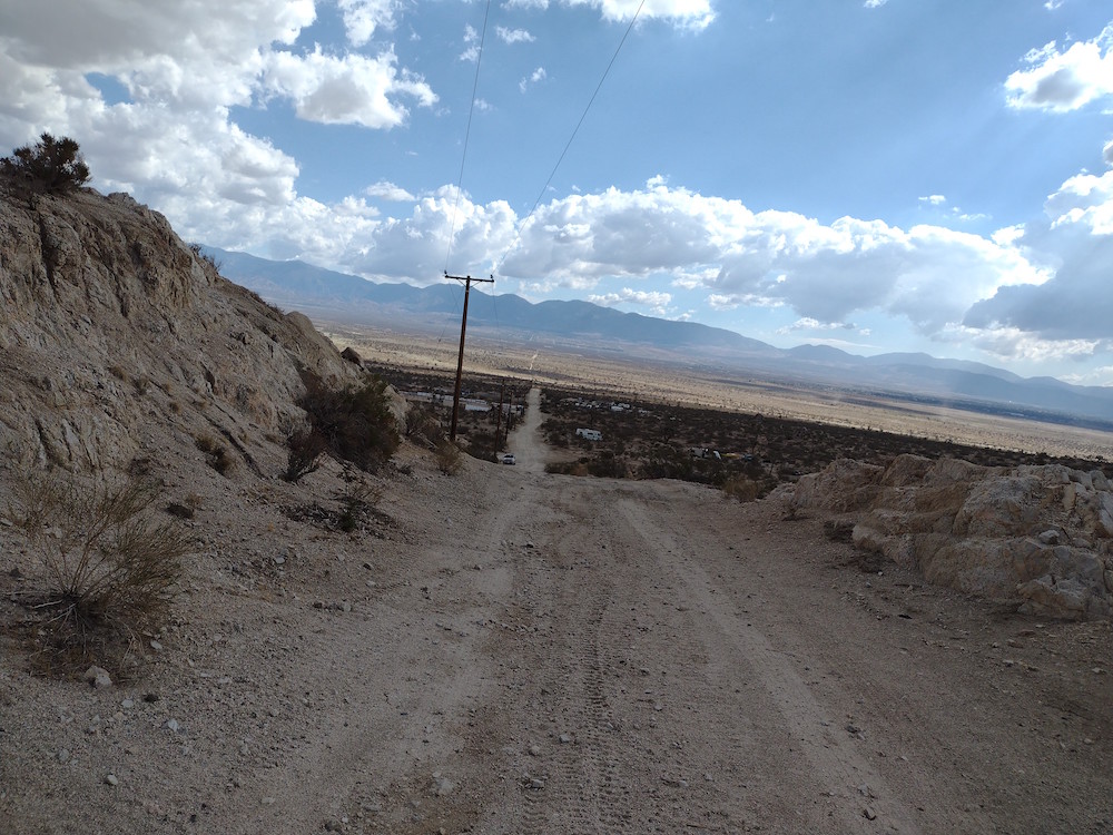
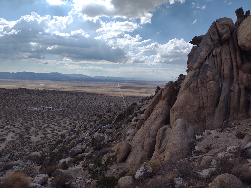
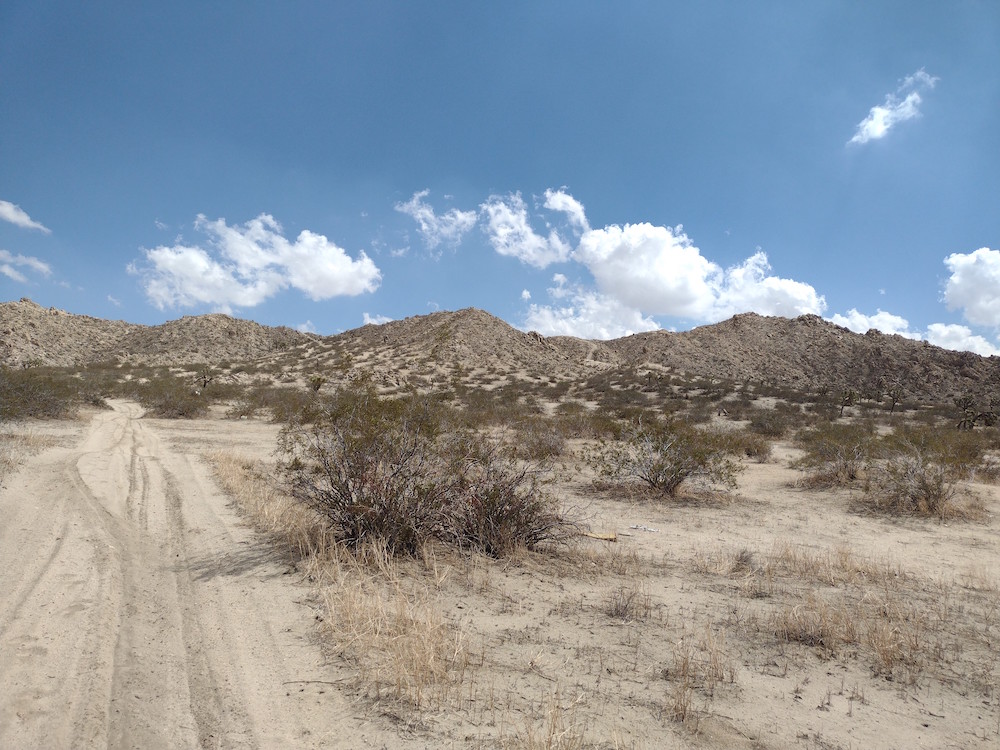
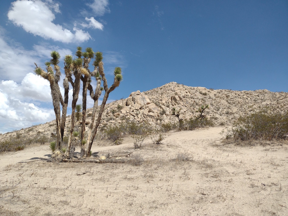
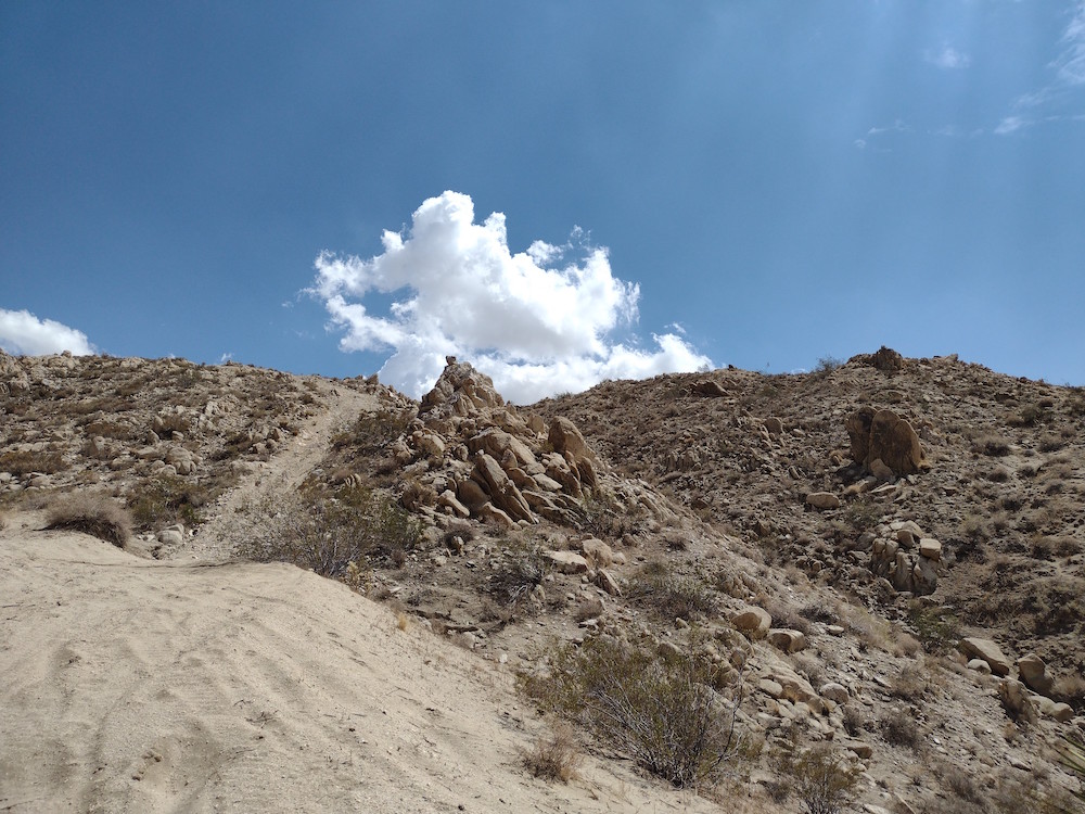
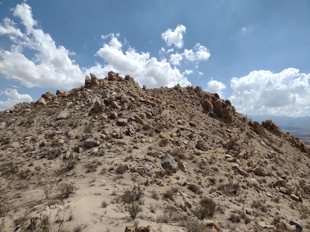
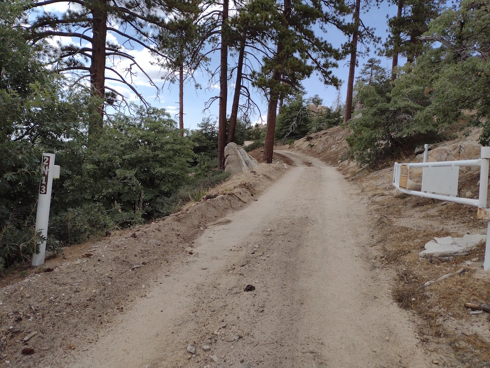
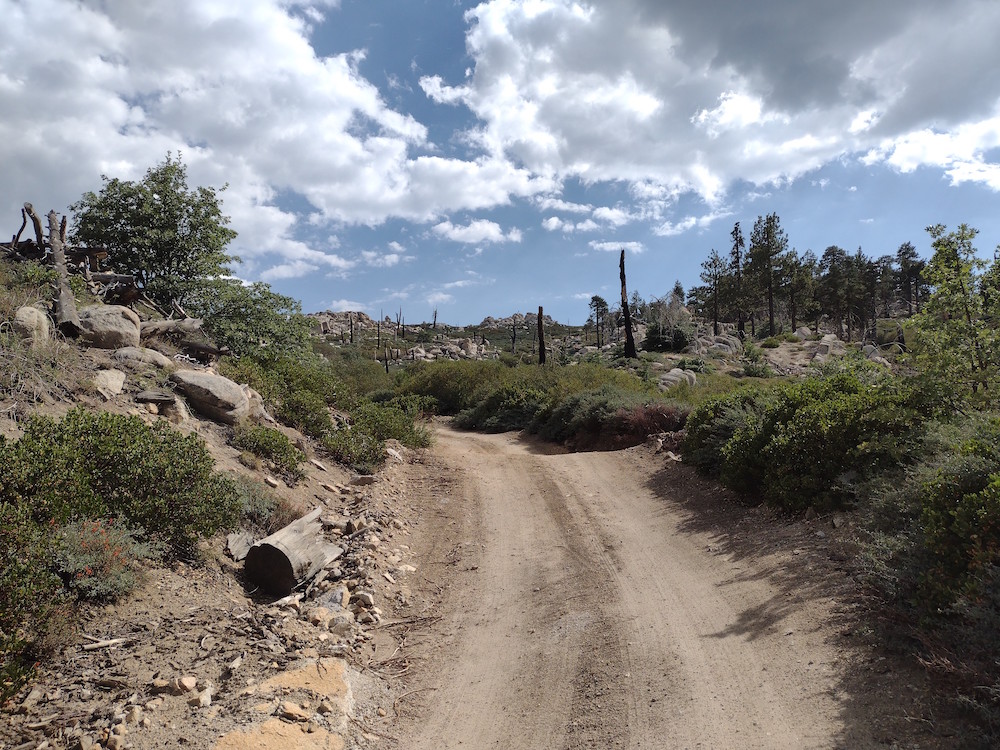
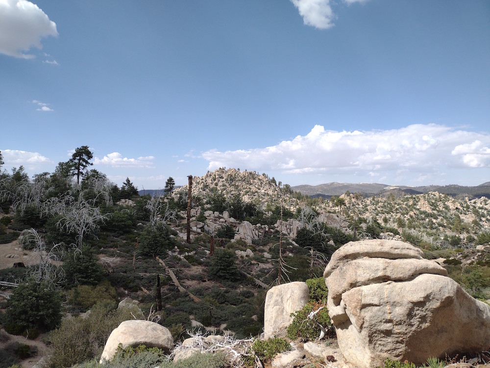
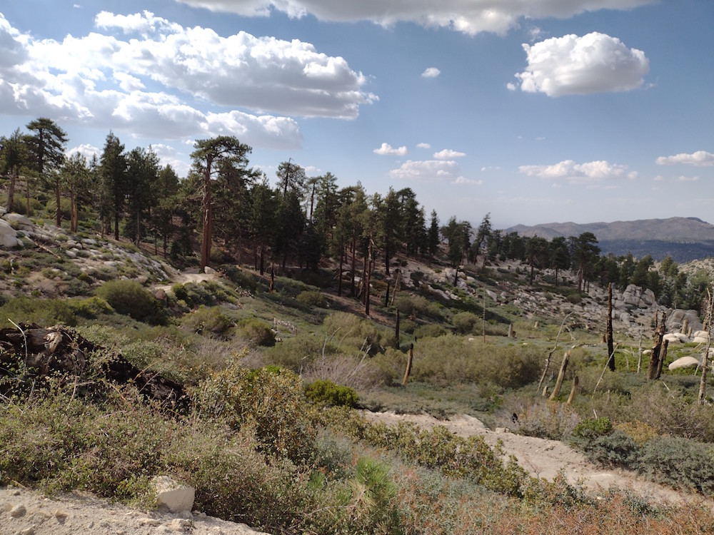
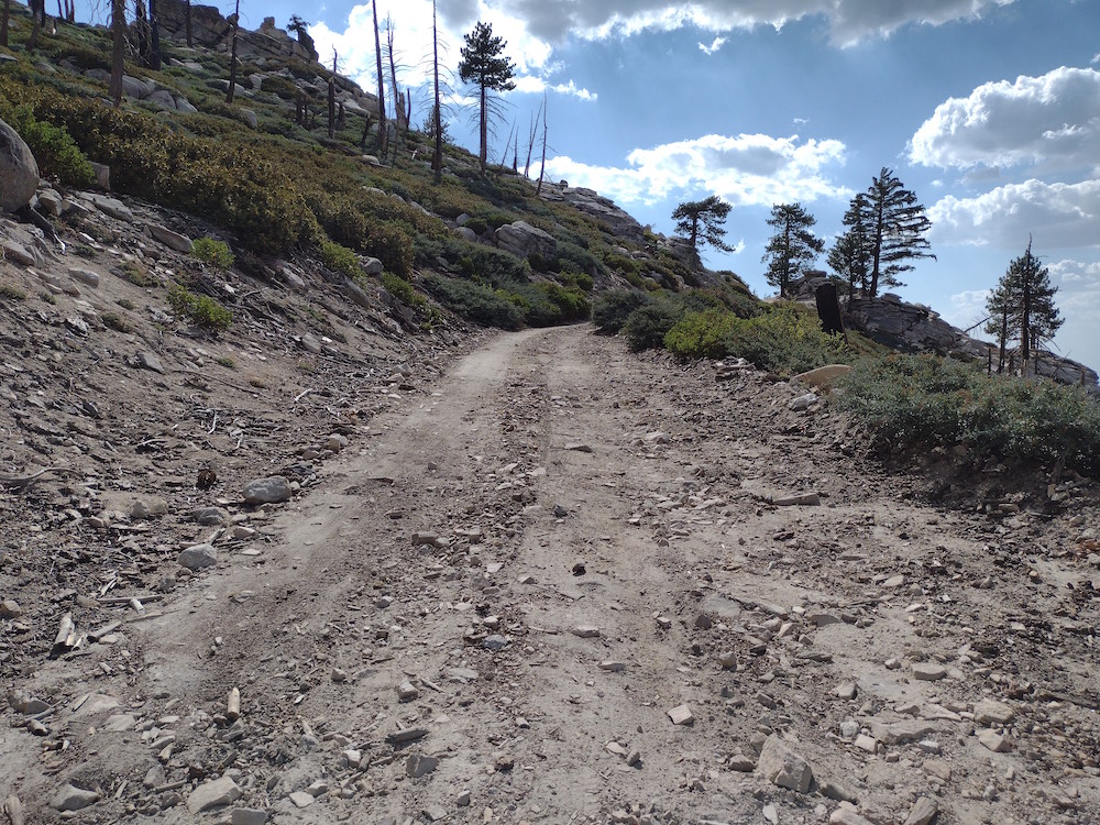
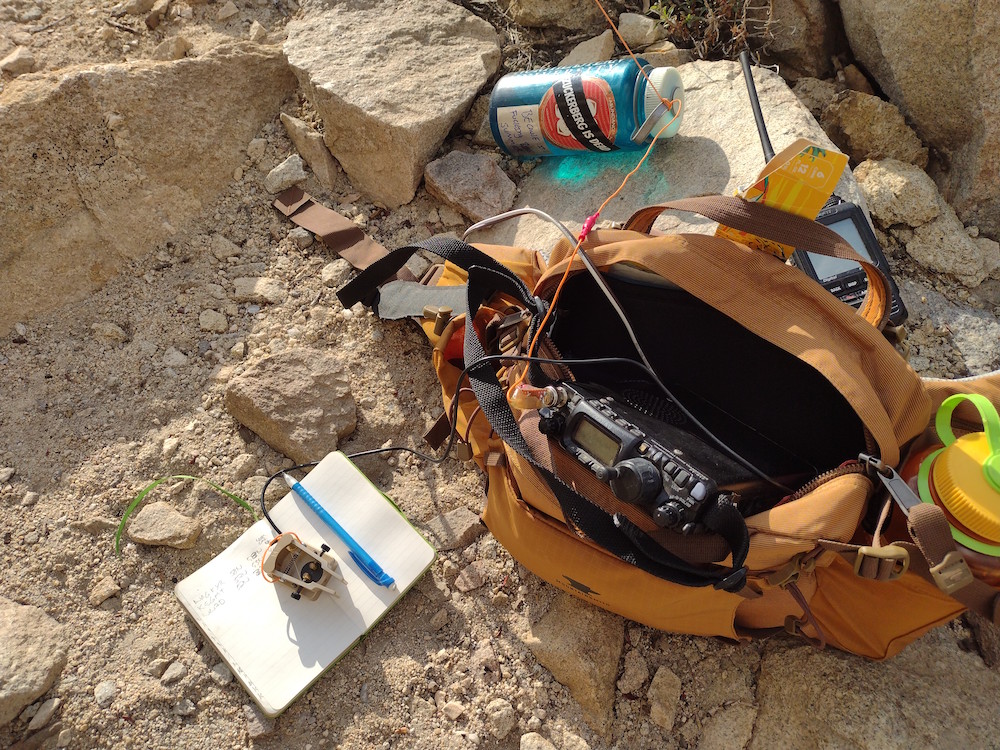
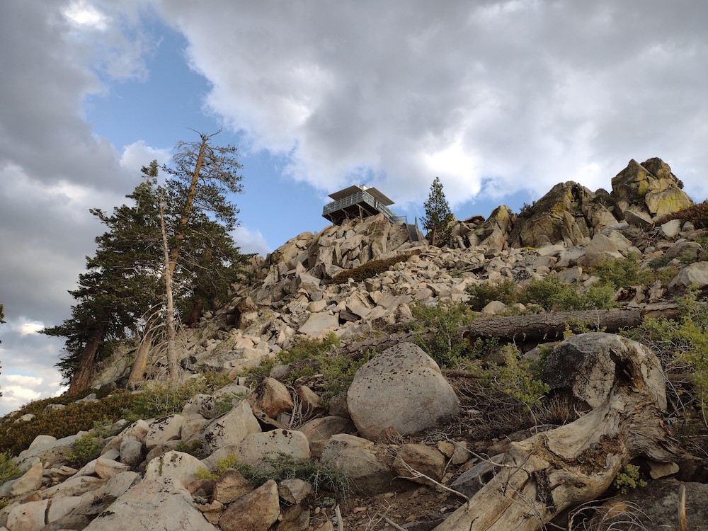
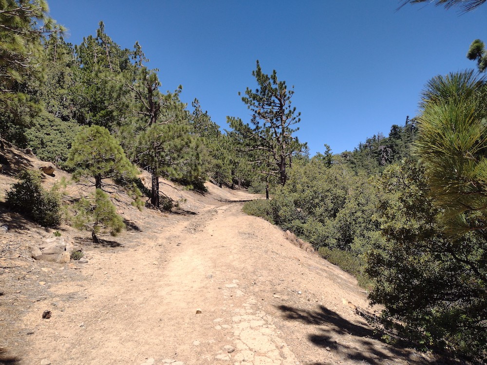
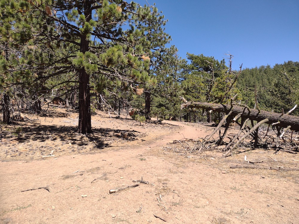
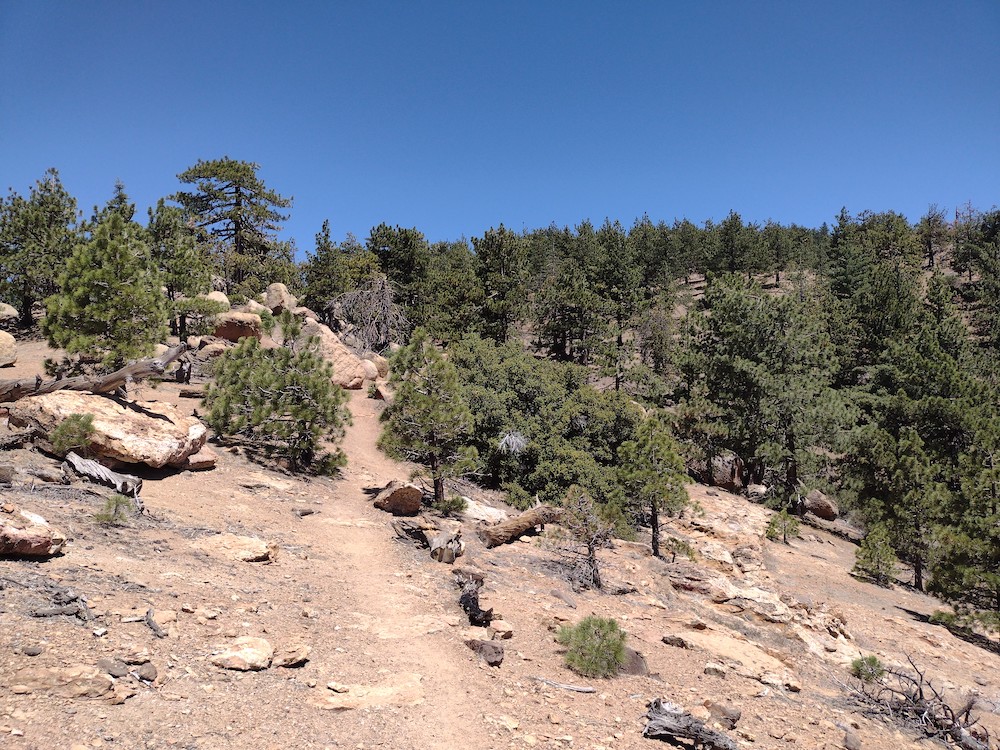
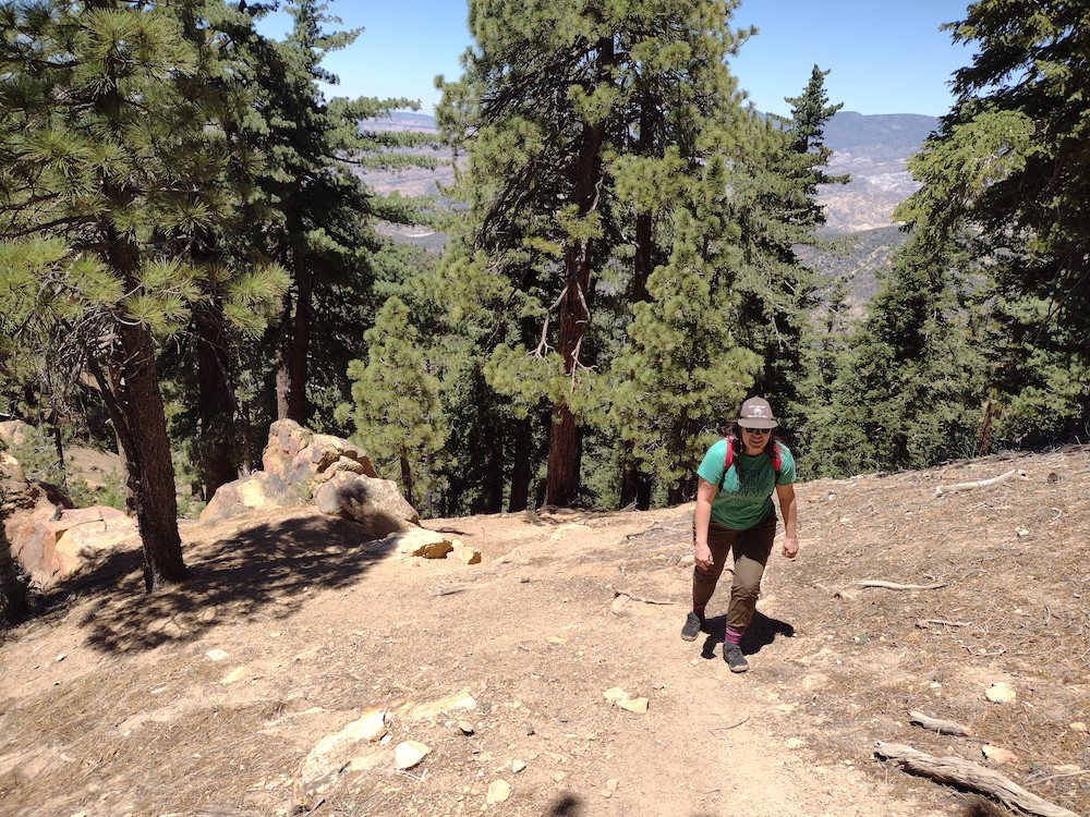
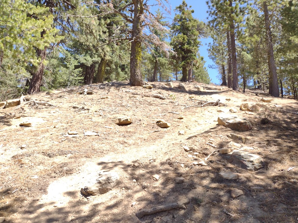
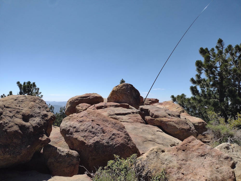
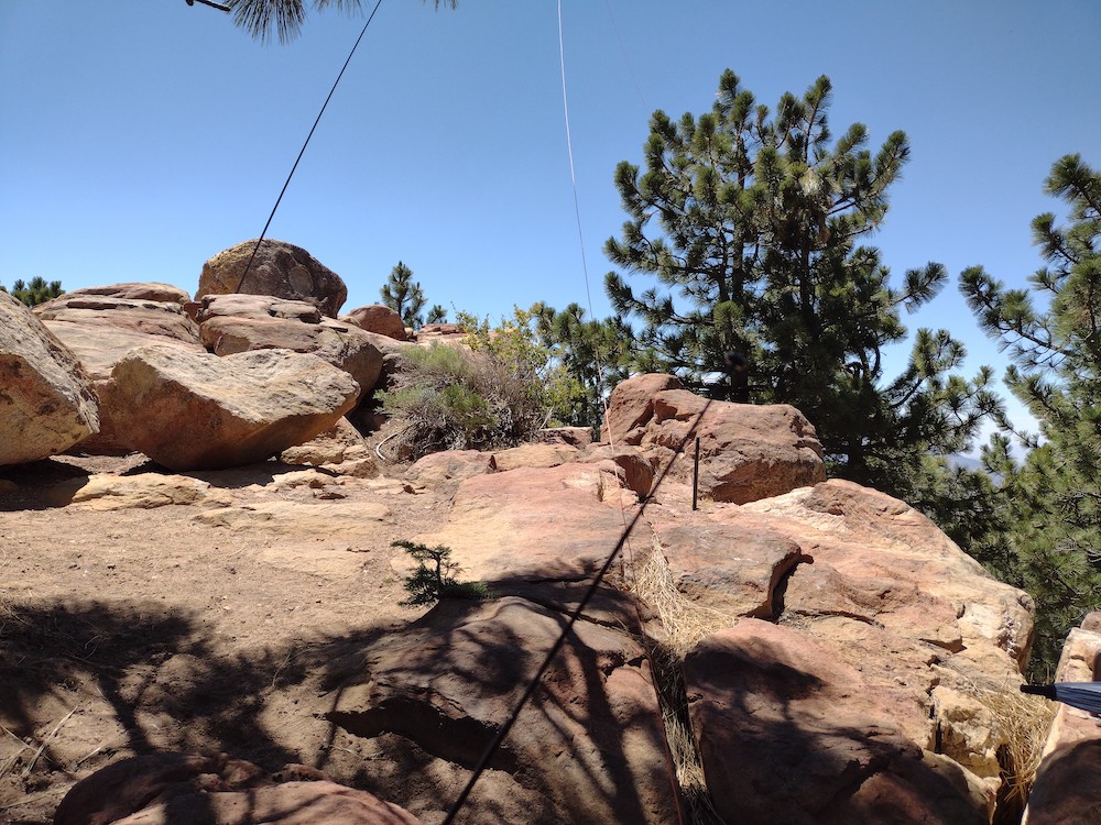
This is a pretty long hike for 4 SOTA points, but since the Lowel Life crew rebuilt the Condor Peak Trail, Esther and I wanted to check it out. Most of the trail felt pretty flat (it’s not), with multiple switchbacks and a waterfall. The last mile or so was a bit more difficult but that might have just been me being fatigued. Getting to the actual summit required some scrambling, but nothing too bad. At the top I worked 40M and 30M, then hopped on 2M to work local chasers. Worried about running out of daylight, we headed back down after about an hour. I hoped to activate Fox Benchmark on this same trip, but there just wasn’t enough time. By the time we got back to the car it was dark. Perfect timing.
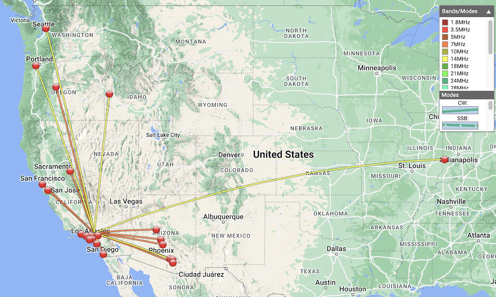
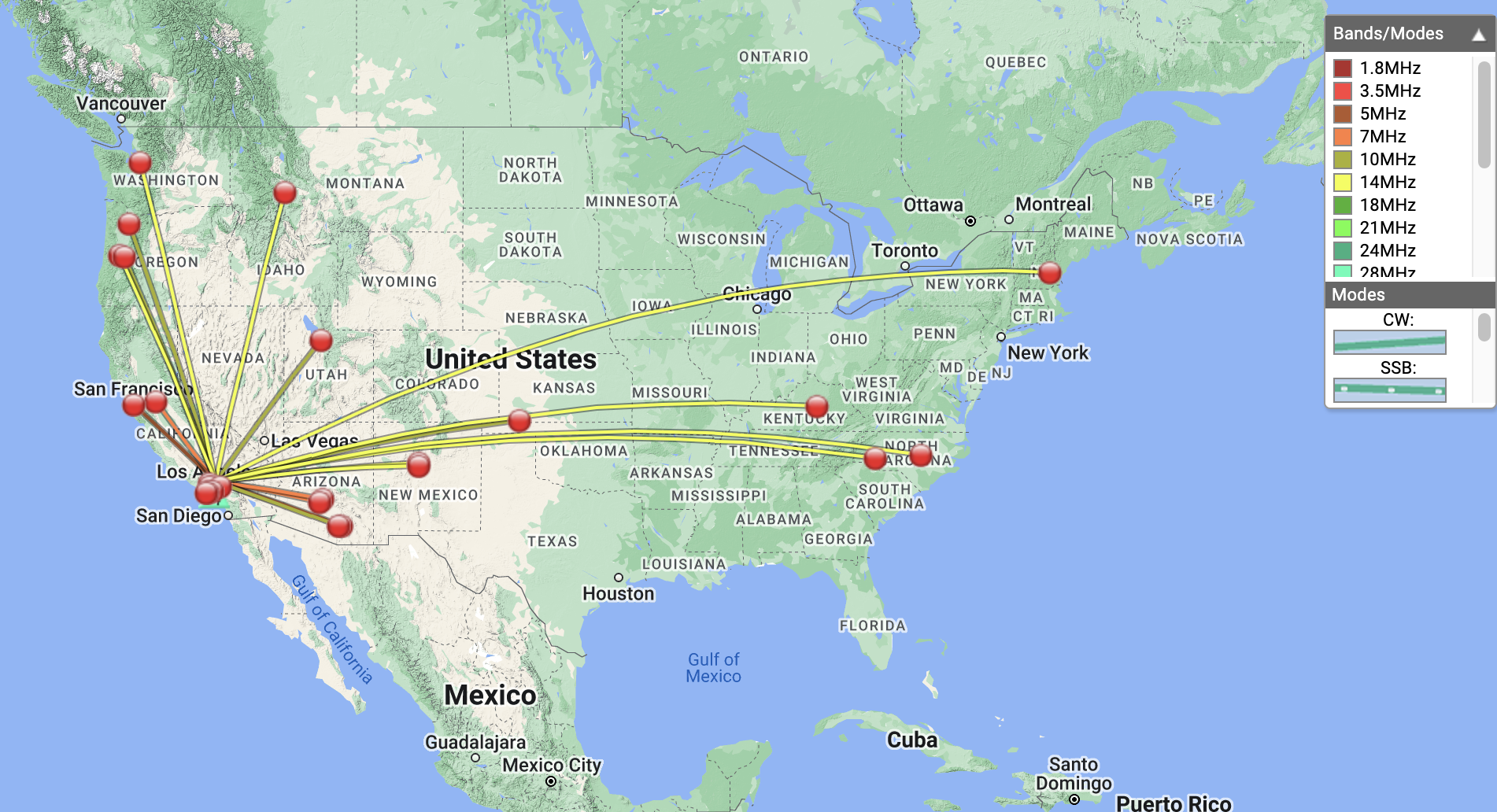
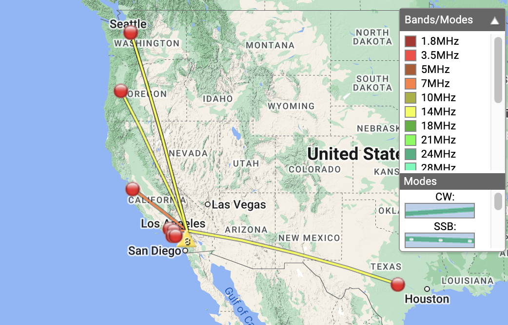
https://sotl.as/summits/W6/CT-027
Total climbing: 4527 ft
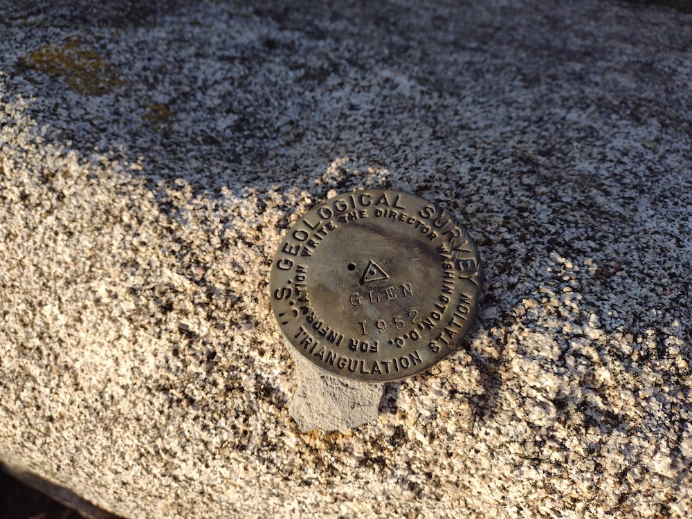
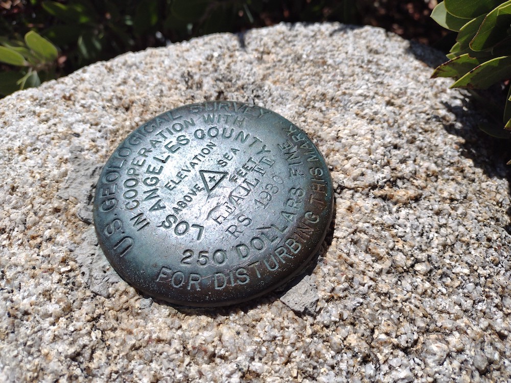
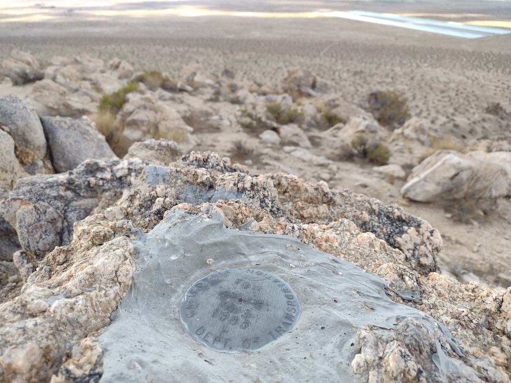
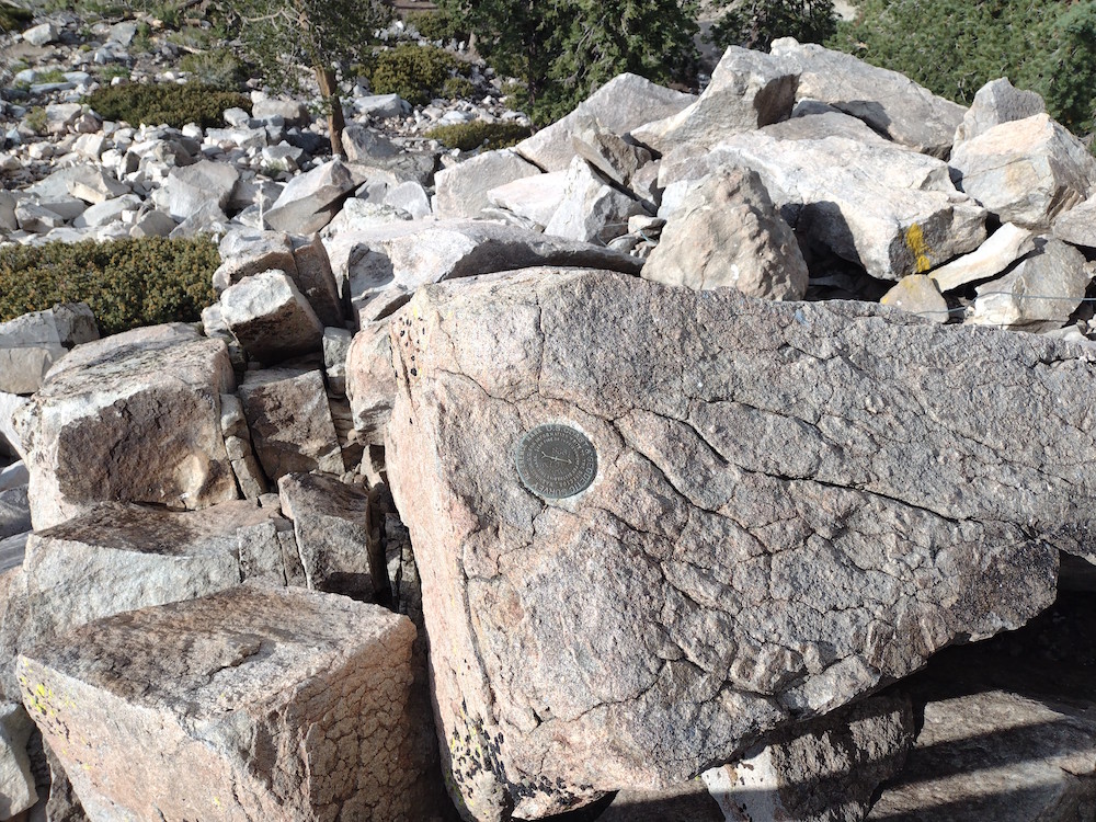
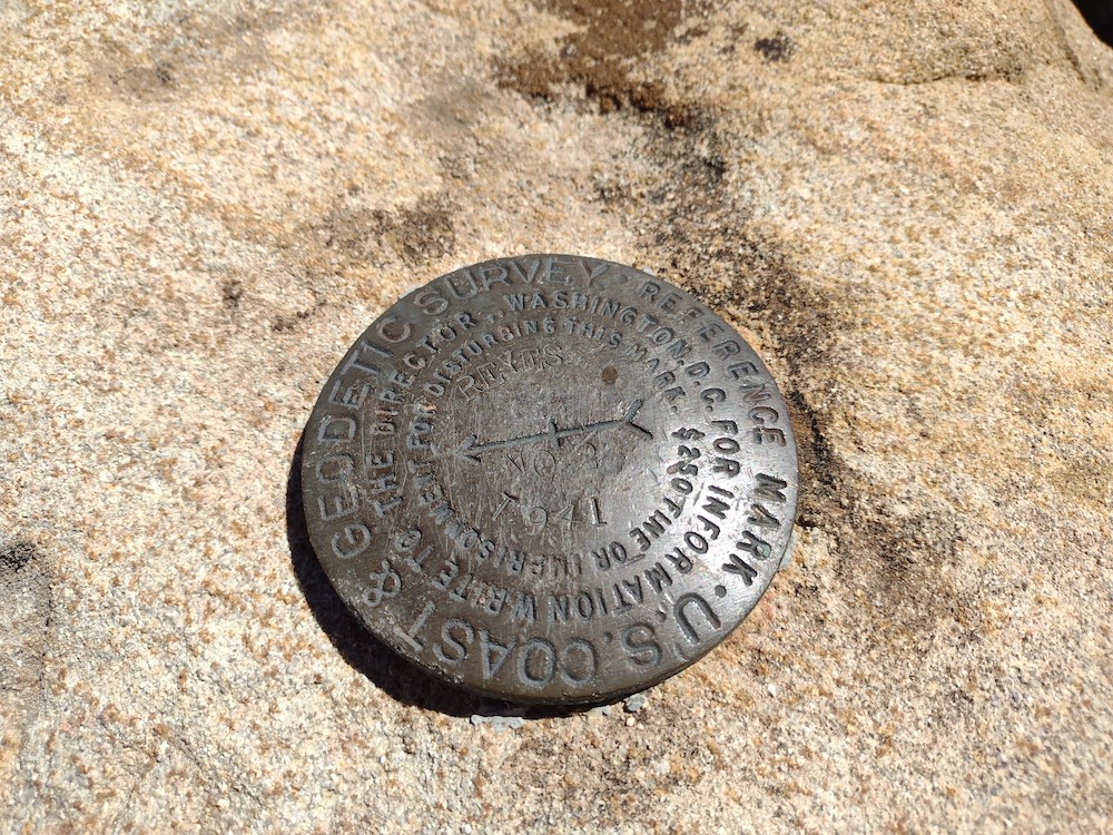
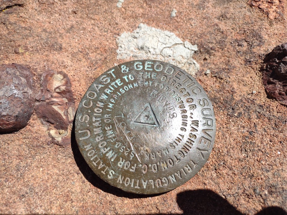
Date:18/11/2022 | Summit:W6/CT-027 (Condor Peak
| Time | Callsign | Band | Mode | Notes |
|---|---|---|---|---|
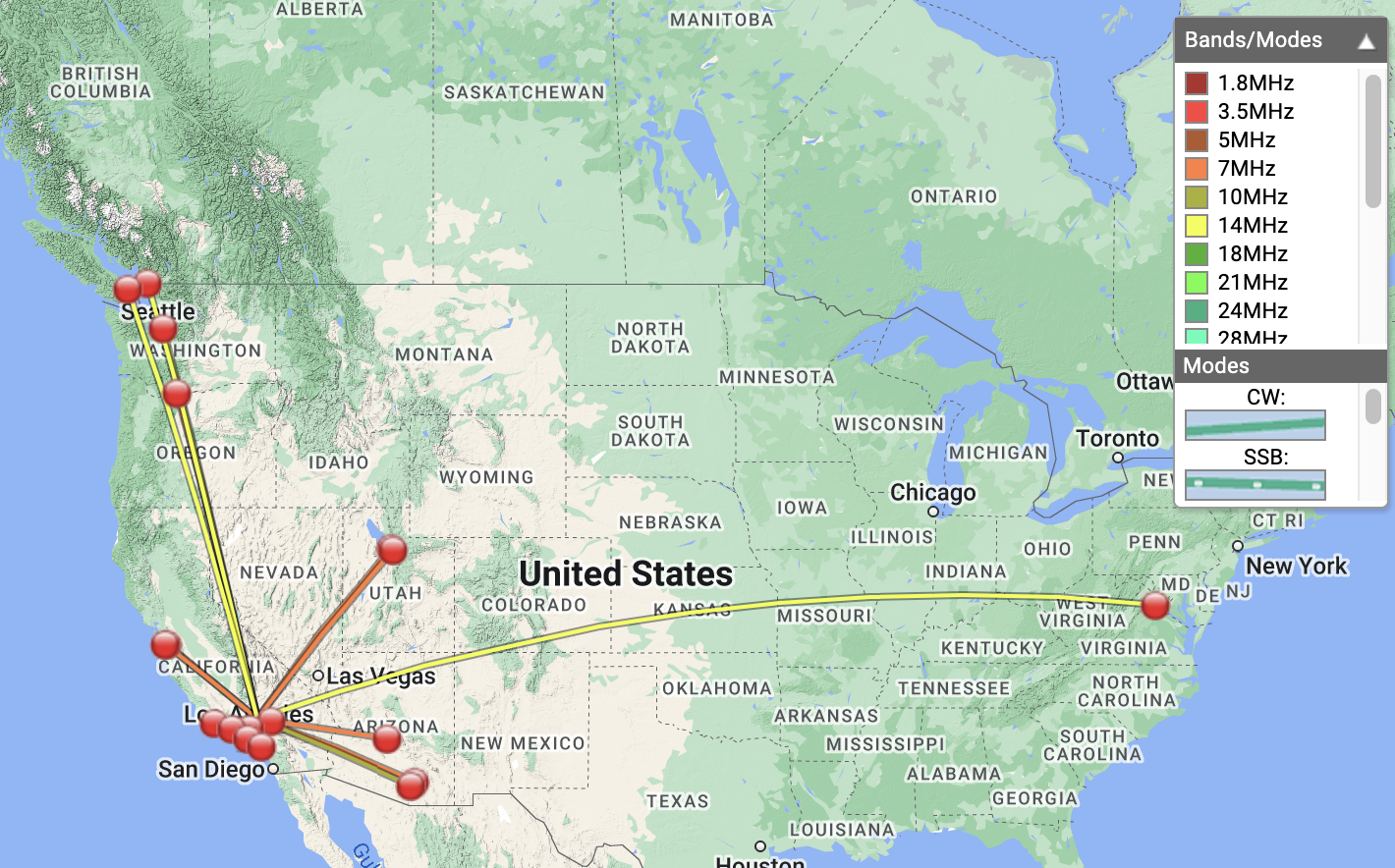
| 21:05 | NT6E | 144MHz | FM | S59 R59 |
| 21:07 | KI6SLA | 144MHz | FM | S59 R59 |
| 21:08 | WA6WV | 144MHz | FM | S59 R59 |
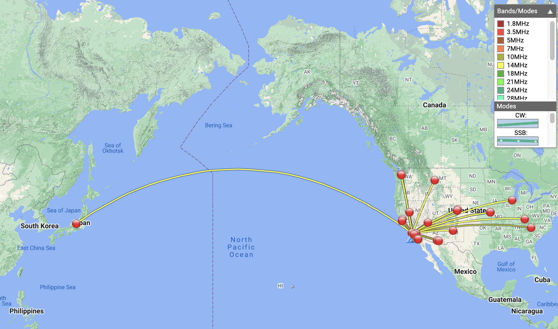
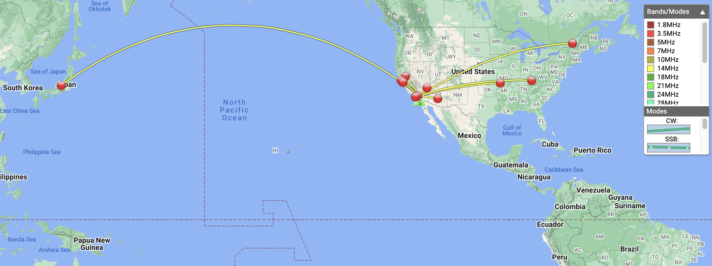
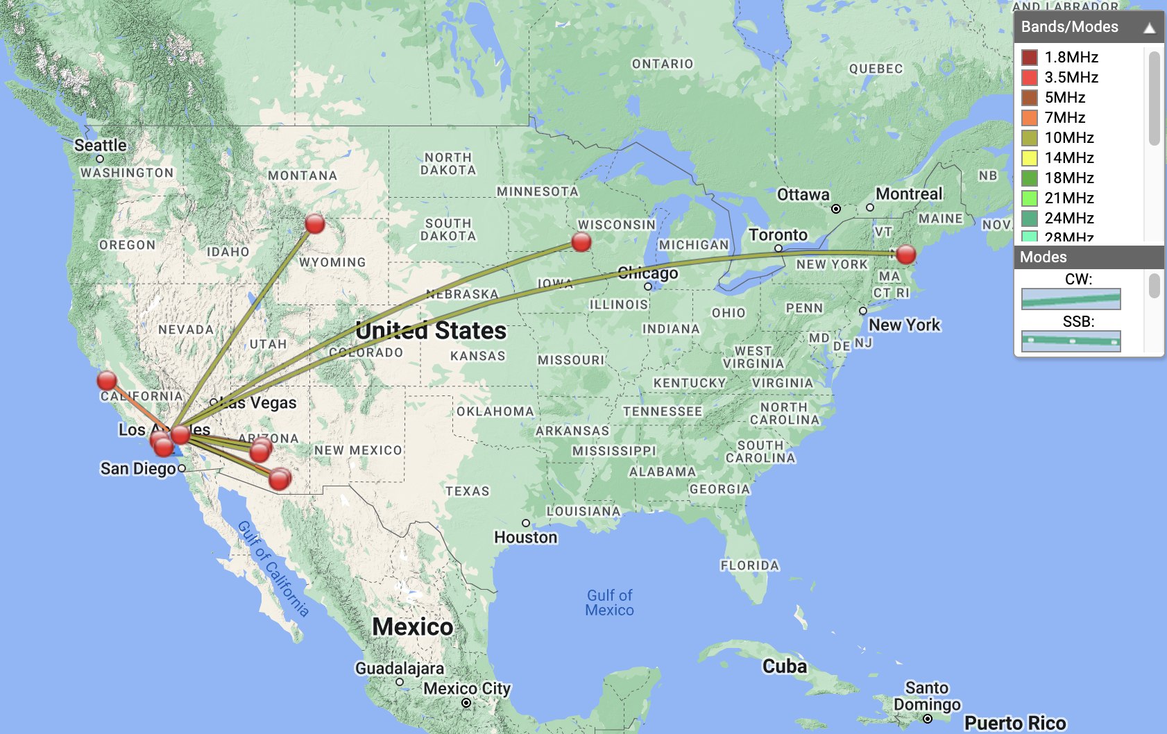
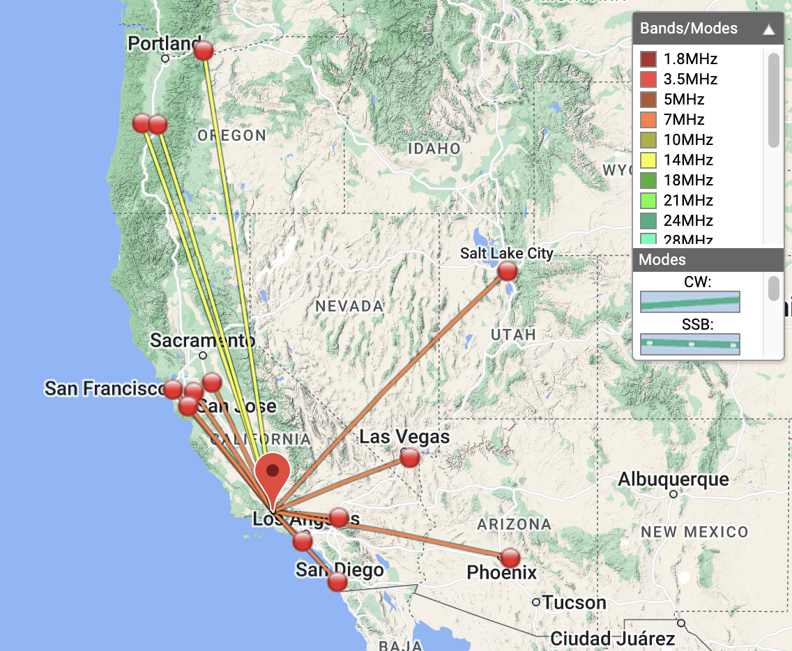
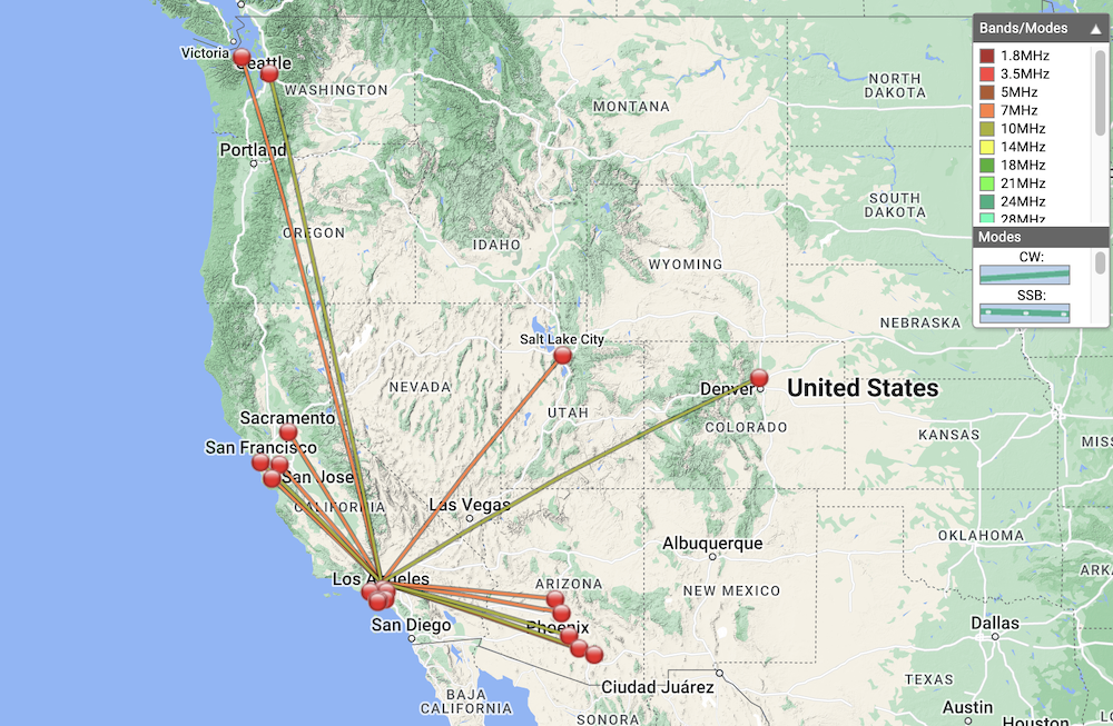
| 21:22 | W7RV | 7MHz | CW | S57N R56N |
| 21:23 | K7EA | 7MHz | CW | S51N R33N |
| 21:24 | W6DER | 7MHz | CW | S51N R51N |
| 21:25 | N6AN | 7MHz | CW | S44N R33N |
| 21:27 | K7NEW | 7MHz | CW | S42N R33N |
| 21:28 | KR7RK | 7MHz | CW | S56N R55N |
| 21:29 | K7UOU | 7MHz | CW | S42N R599 |
| 21:30 | K3GX | 7MHz | CW | S57N R57N |
| 21:31 | WB6POT | 7MHz | CW | S57N R58N |
| 21:37 | KG6MZS | 144MHz | FM | S59 R9 |
| 21:40 | K6EL | 10MHz | CW | S41N R55N S2S W6/NC-432 |
| 21:41 | WW7D | 10MHz | CW | S51N R51N |
| 21:41 | NA6MG | 10MHz | CW | S56N R51N |
| 21:42 | N7EDK | 10MHz | CW | S44N R55N |
| 21:43 | NQ7R | 10MHz | CW | S57N R599 |
| 21:46 | KX0Y | 10MHz | CW | S56N R44N |
| 21:49 | N6JZT | 144MHz | FM | S59 R44 |