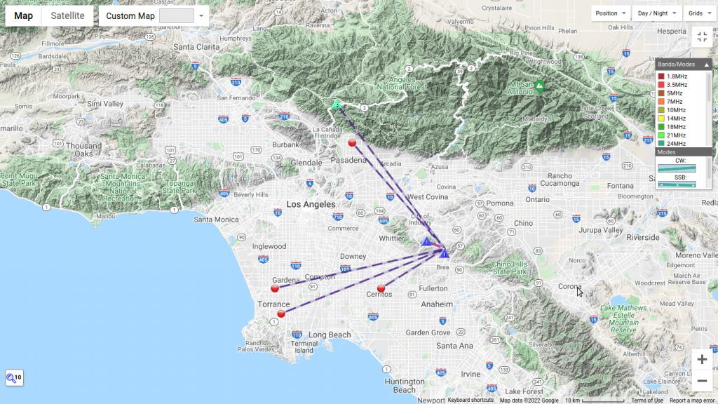
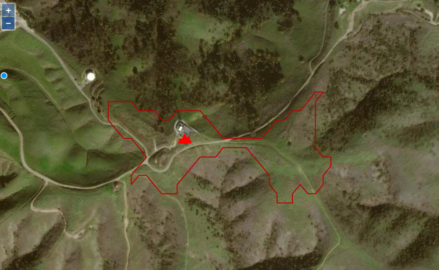
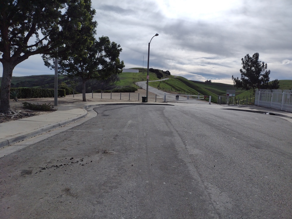
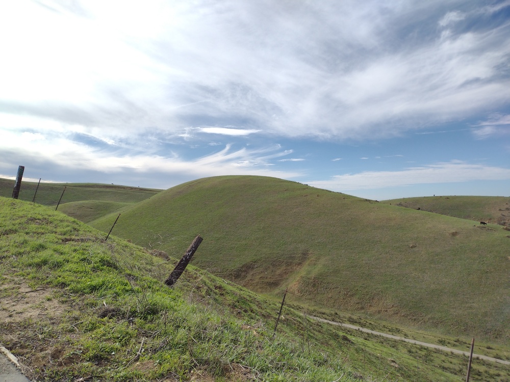
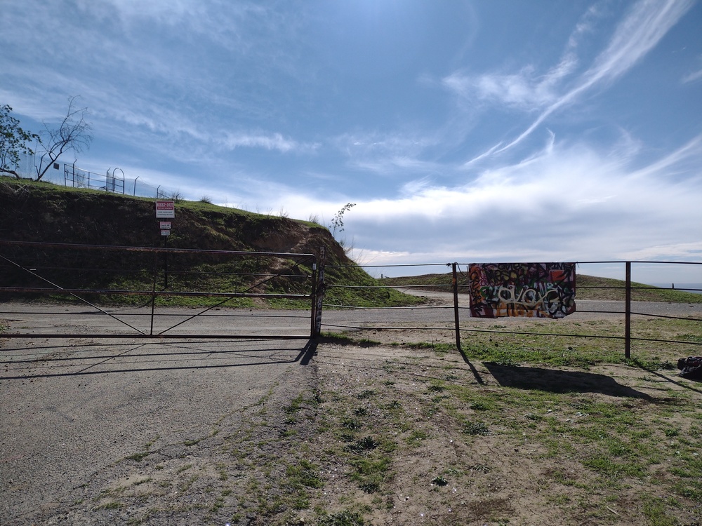
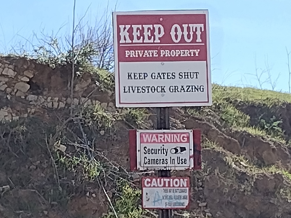
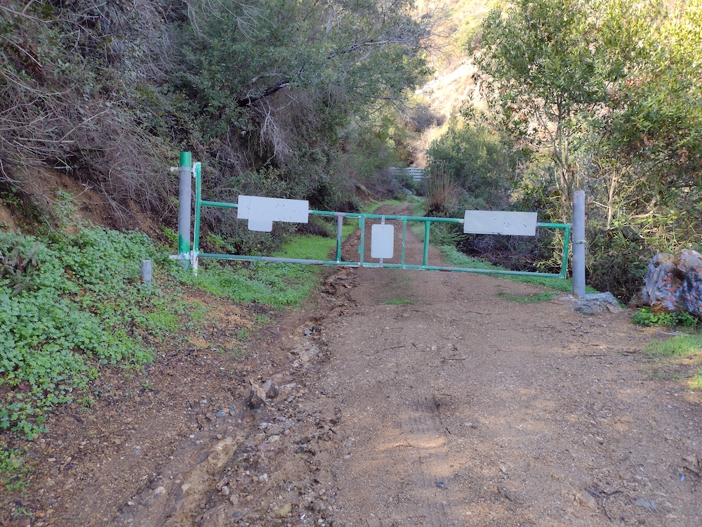
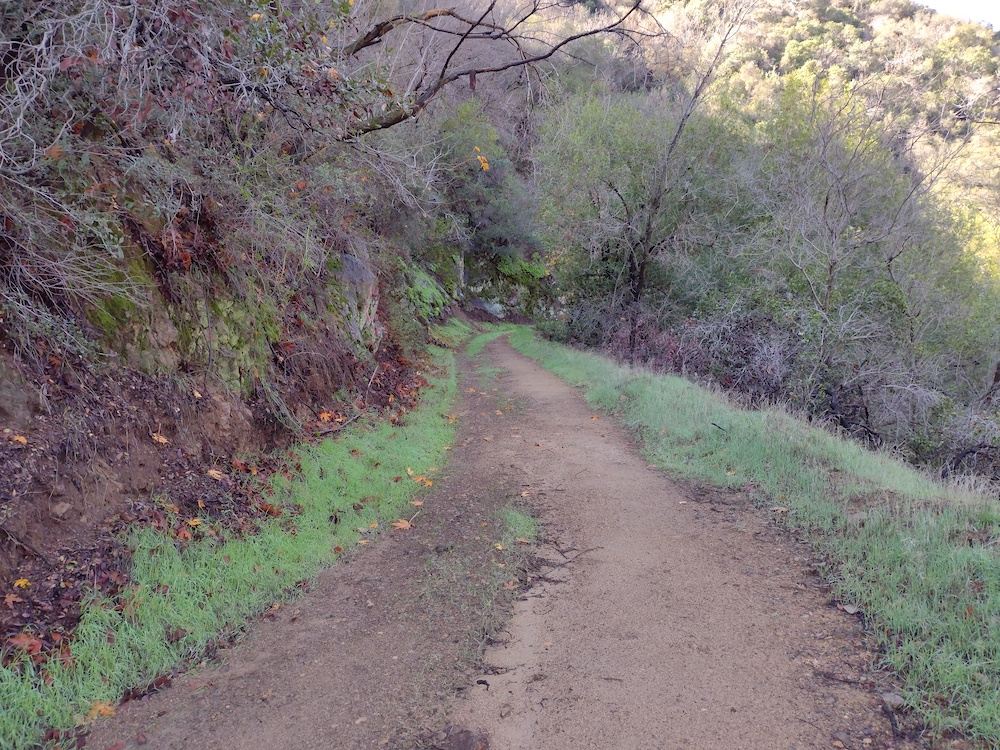
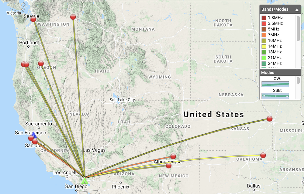
This is a one point summit near Whittier, and my first activation of the day of three planned. I parked the car at the end of Vantage Point Drive and headed up the paved road to the summit. After a very short walk I came to a locked gate with several “keep out” signs. This gate didn’t look like the area where others activated, so I wasn’t sure if I was in the activation zone. I considered hopping the fence and climbing a small hill, but there were several long horn cattle in the area and I liked the idea of a fence between me and them. I called another SOTA station on the next summit over, they said the gate area is where they activated in the past. They also shared an story of how a rancher found them on the other side of the gate and was not too happy about it. Still skeptical about actually being in the activation zone, I didn’t bother setting up the HF station and just used HTs. Made seven, 2M FM contacts, and one, 1.2GHz FM contact, 3 S2S. Back at the house, I checked activation.zone and found I was indeed in the correct place.
Sorry, no video or .gpx file for this report. I might update this in the future.
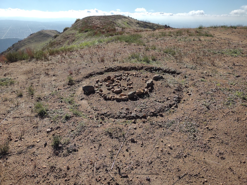
The gate is indeed in the activation zoneI parked here then walked up the road to the gateWindows XP hills, with longhorn cattleClosed gateI was actually thinking about jumping over the fence
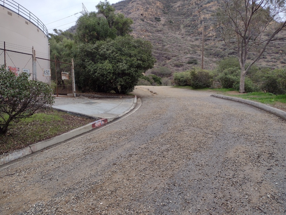
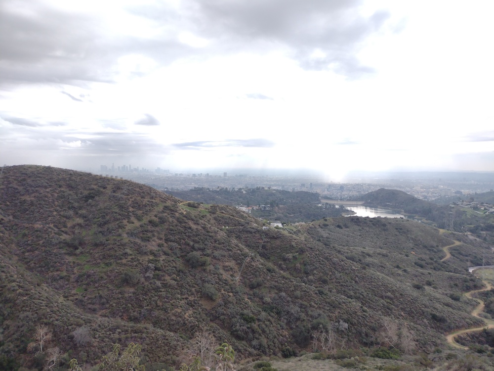
If you live in Los Angles chances are you have looked at this summit several times, it’s right next to the world famous Hollywood sign. I live just a few mile away, however It took me awhile to actually activate it, and honestly, I tried to a few times but got discouraged and did something else. Why? From the parking area, you can see streams of people hiking up and down the hillside. Way too crowded for me, way too crowded to put up any kind of antenna without being in the way.
One rainy day I wanted to get out of the house and thought the weather might keep people inside, so I headed over to the trailhead. While the trail wasn’t completely empty, it wasn’t jam packed as I’ve observed before. Since rain has been scare around here for the past few years it was either now, or maybe next year, so I headed up. he trail was steeper than I imagined, but nothing that difficult.
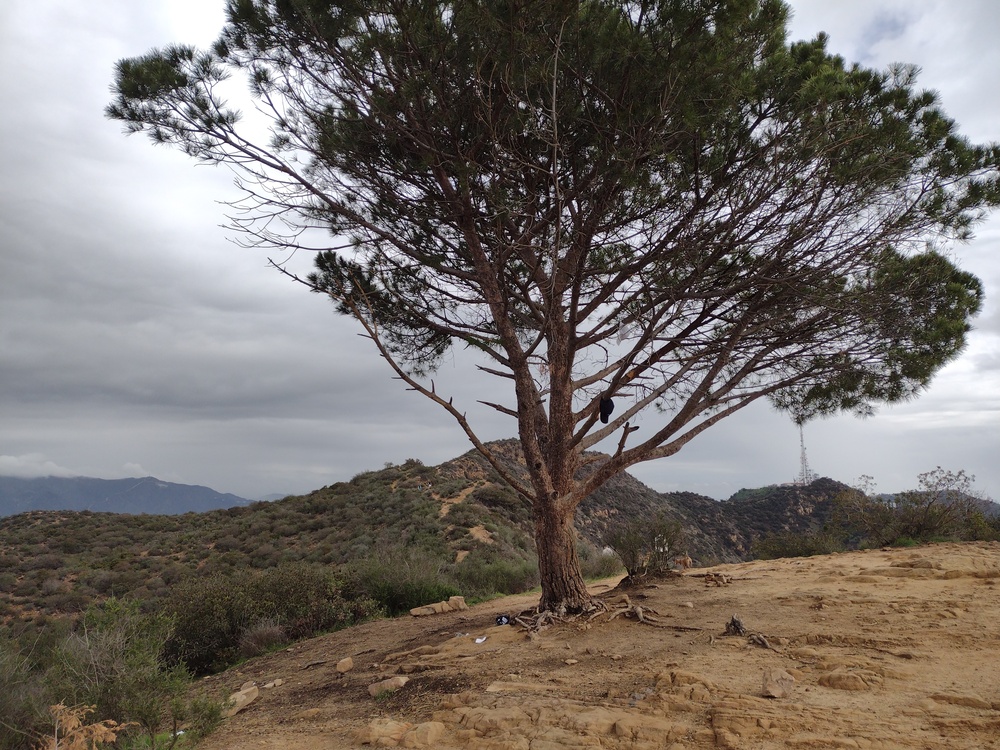
At the top of the ridge, I went to look at the wisdom tree. I could see this single tree from my old office on Wilshire. Rumor says it came in a McDonald’s Happy Meal in the 70’s as a sapling, and someone planted it up there and returned with water every few weeks to keep it alive. I have no idea if this is true or not but it’s a good story. After trying to grab a photo of it without people taking 100 selfies in the background, I continued up the ridge to the summit marker.
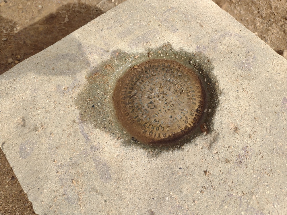
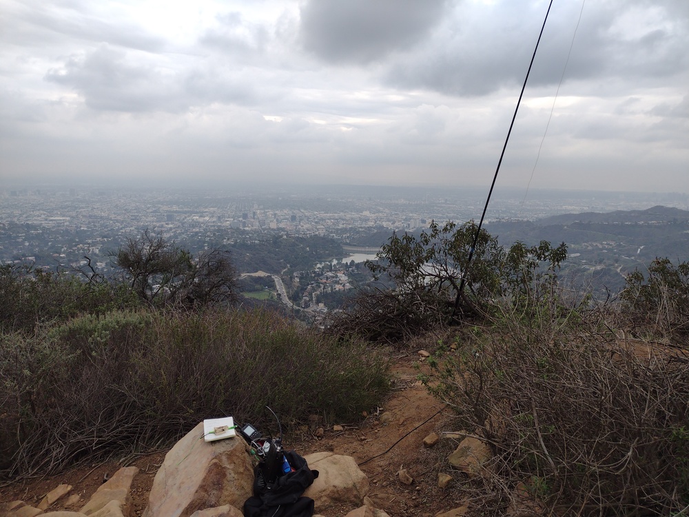
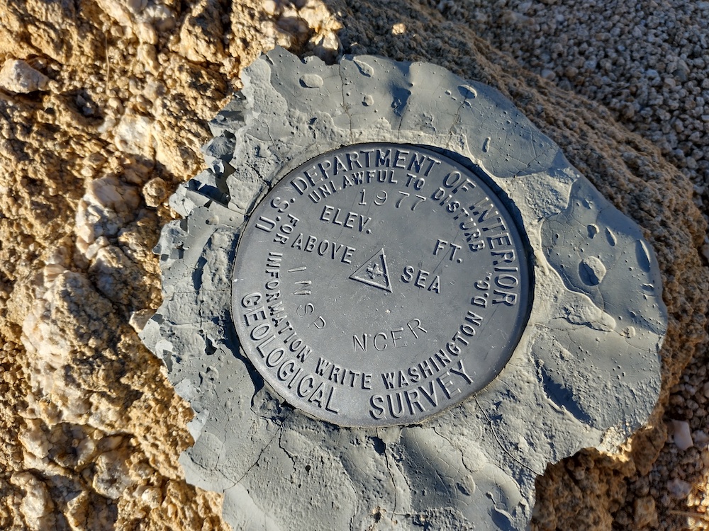
Shortly after leaving the tree I arrived at the summit marker. Since this is a ridge, there isn’t a lot of room, but I was able to find a small offshoot to setup the station that was mostly out of the way. I setup the vertical and got everything setup. Worked 30M, 40M, and 20M CW. This was hard at times because at one point there were loud kids just a few feet away from me. In addition, hikers would use the small offshoot I was on, and I worried about someone tripping over one of the wires I had going everywhere.
After working all the chasers, the station was packed down and put away. I hiked around and found the benchmark, then considered going over to the Hollywood sign, but decided not to. I think it took longer to get down that it was to get up because the weather cleared and there were more trail users. Overall, it was a fun day, but I wish it rained a bit harder, for a bit longer.
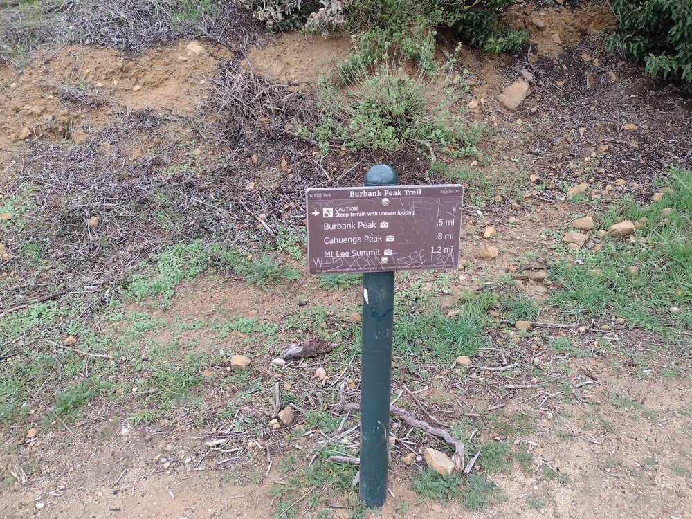
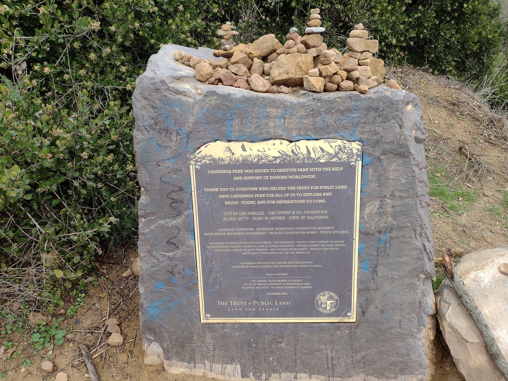
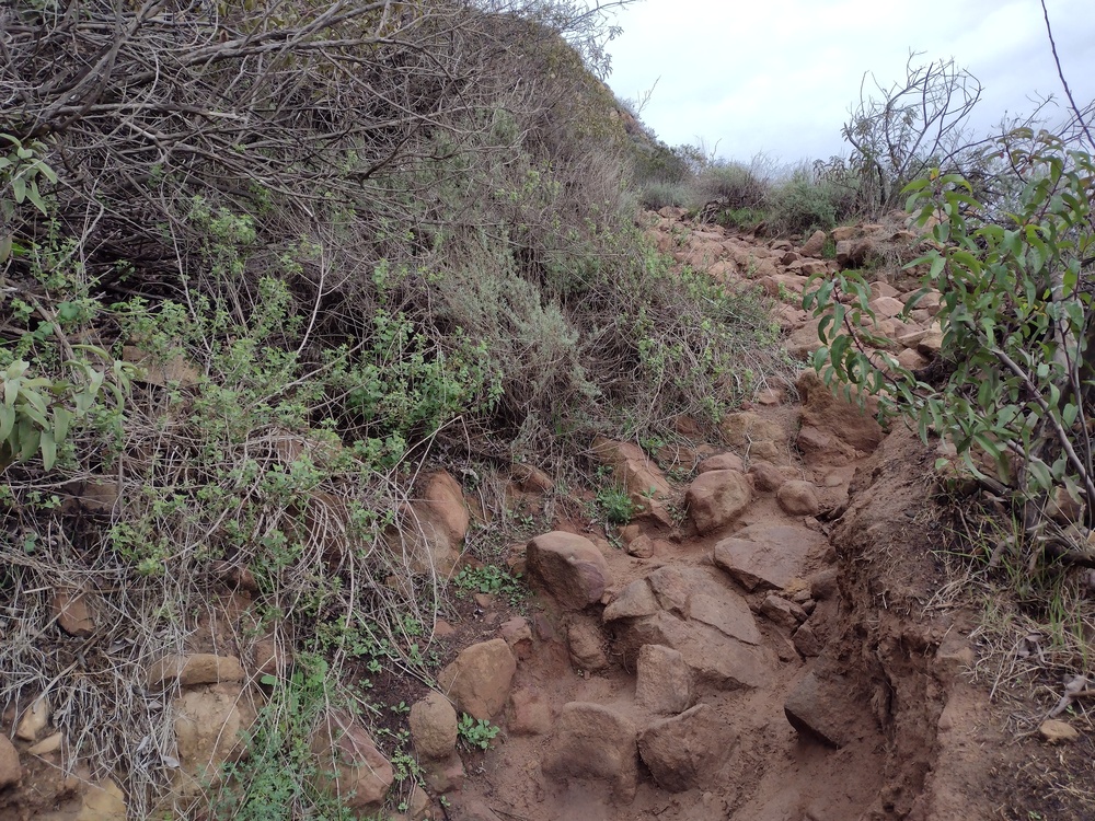
Pass through a gate to get to the trailheadtank on the left, hill on the rightThis sign didn’t seem to be in the right placeA bit of history about the propertyTypical trail conditionsAbout half way upWisdom TreeBenchmarkStation. I think I can see my house from here!
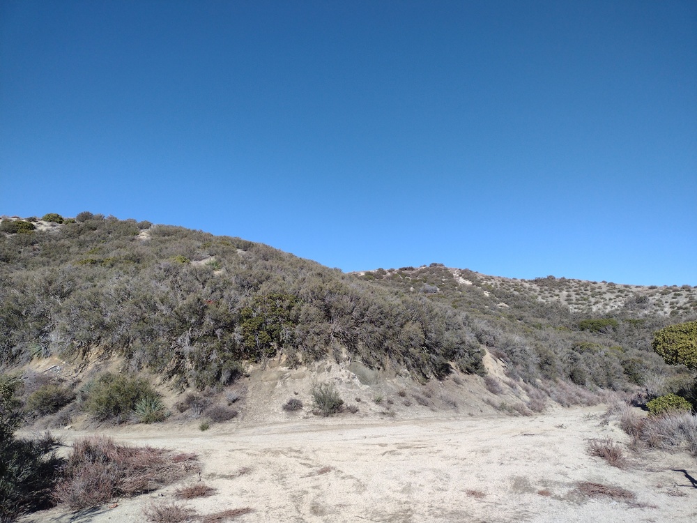
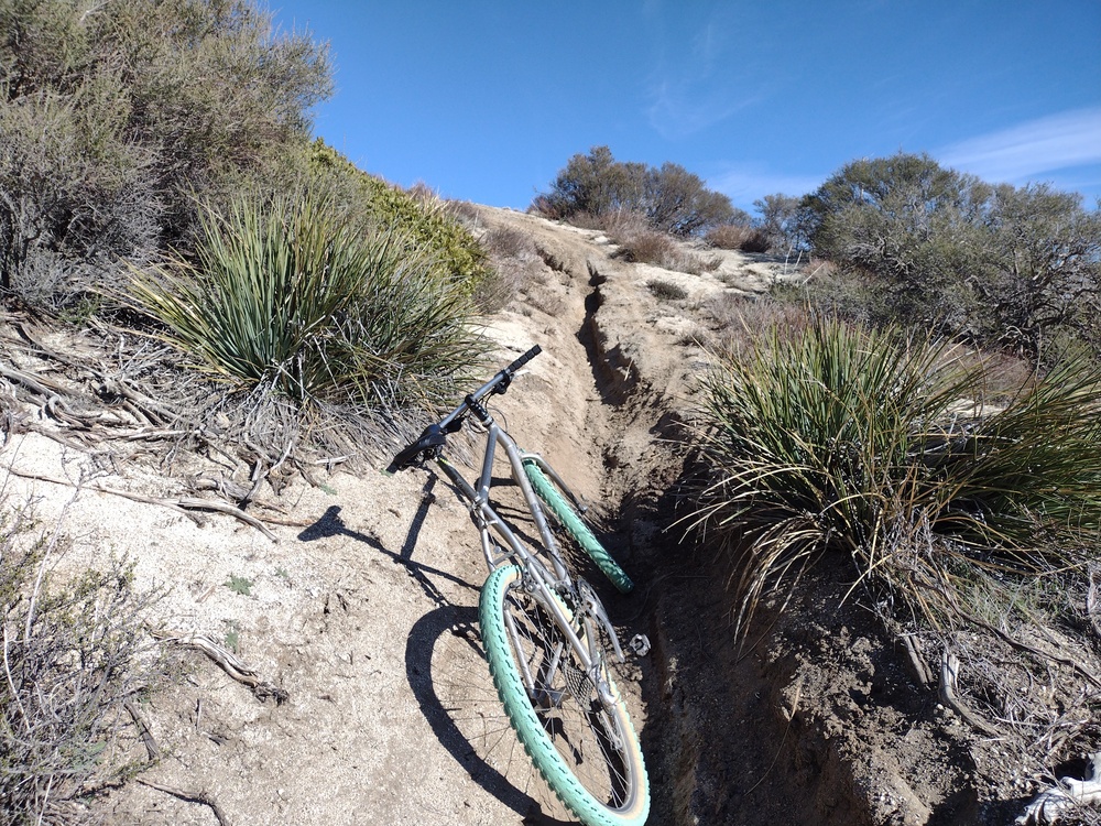
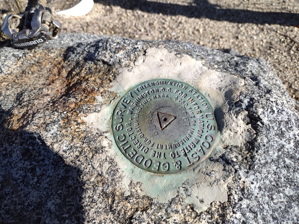
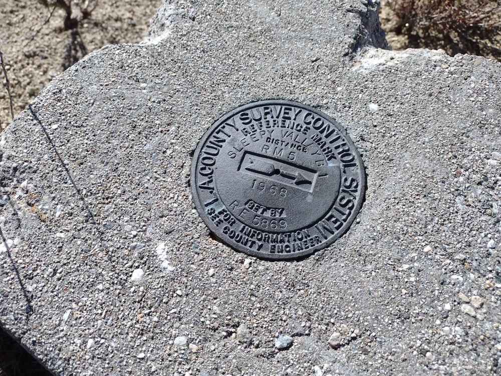
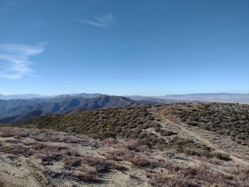
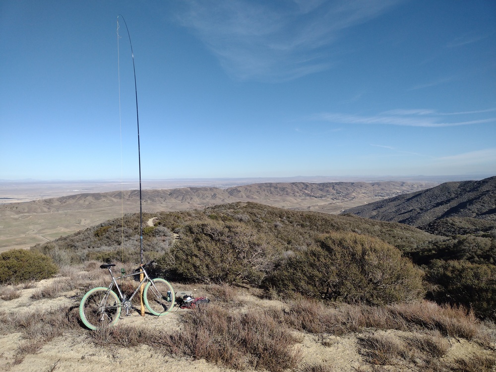
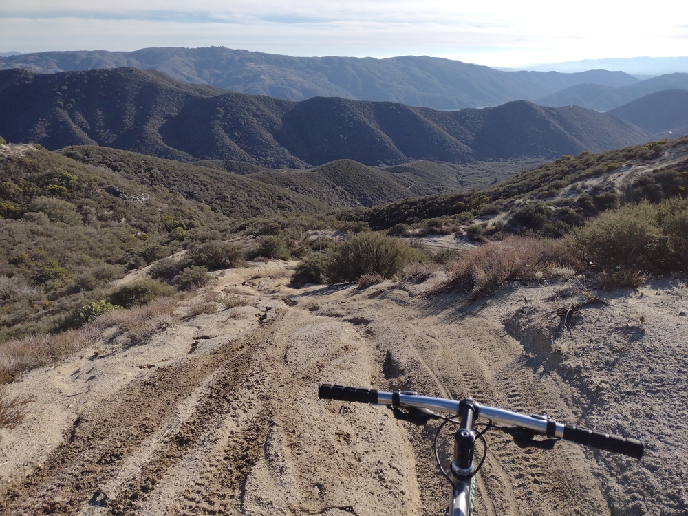
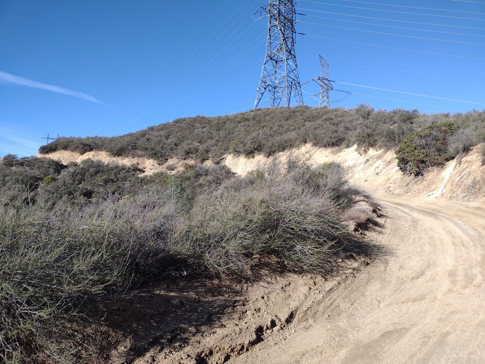
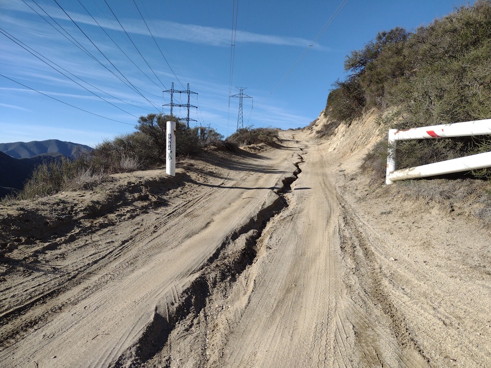
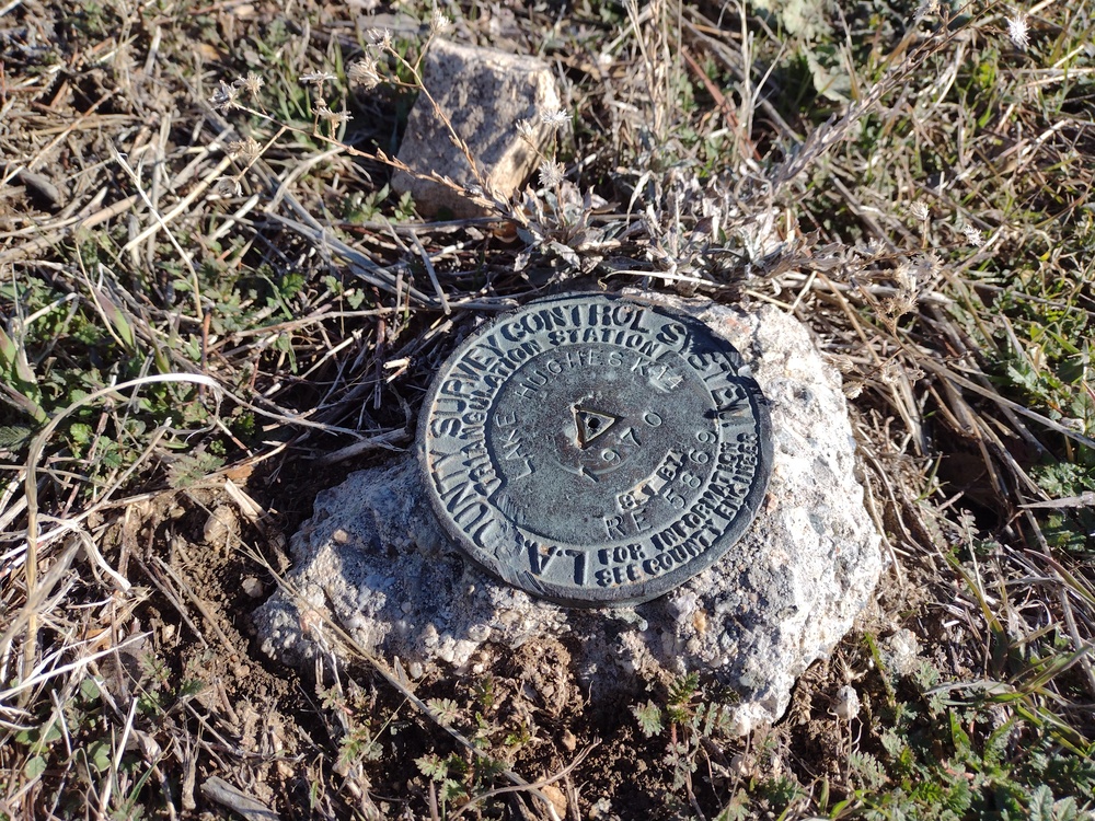
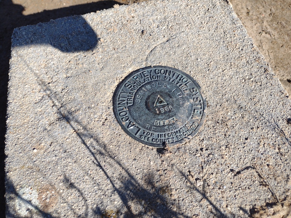
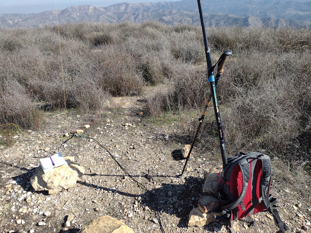
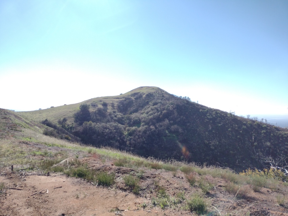
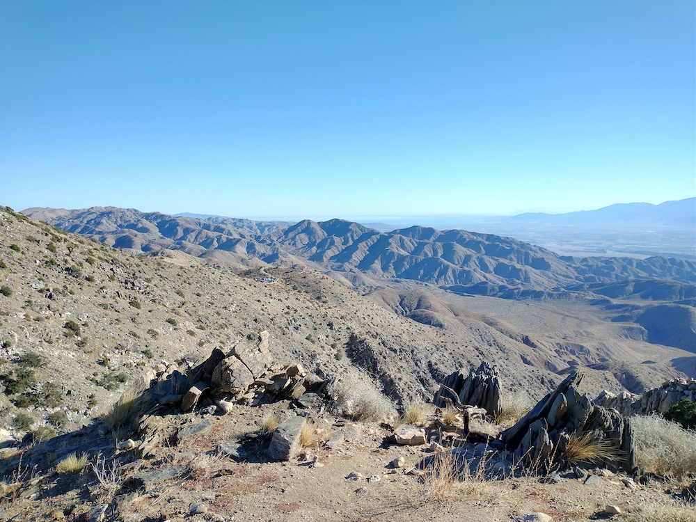
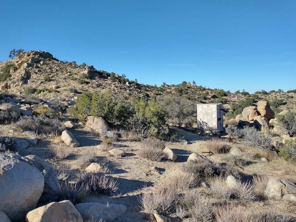
This was the second summit of the day, having just activated Grass Mountain on the other side of the paved road. Like Grass Mountain, you could pretty much drive this one but I took a mountain bike. The road up was a nice gradual uphill until the last mile or so where it got steeper. The surface condition on this part was deteriorating to to aggressive off road vehicle tires so it was difficult to cycle so I walked a few chunks. Near the summit, I followed a dirt bike trail up, which lead straight to the summit. Sadly, the whole area is a dirt bike hellscape and isn’t very nice. There were several benchmarks, one 90 years old, which I found interesting. Worked 30M and 20M, one S2S. Sadly, I forgot to turn my GPS on, so no recorded track.
I can’t remember why I took this photo, but this gives you an idea of the landscapeDirt bike use trail I took up. Very steep, I pushed the bike up.Off road stuff tearing up the landscapeStationHeading down after a long day
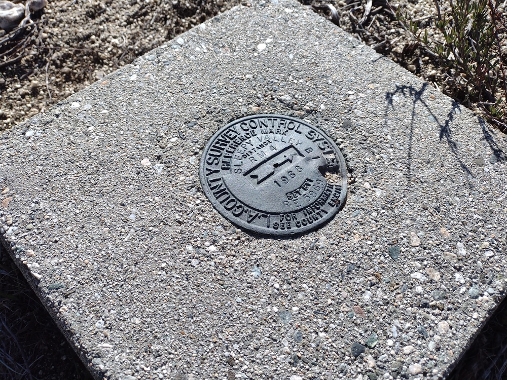
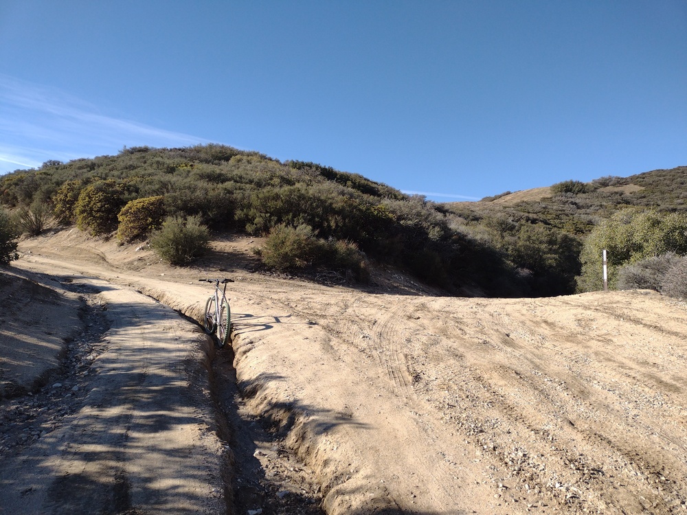
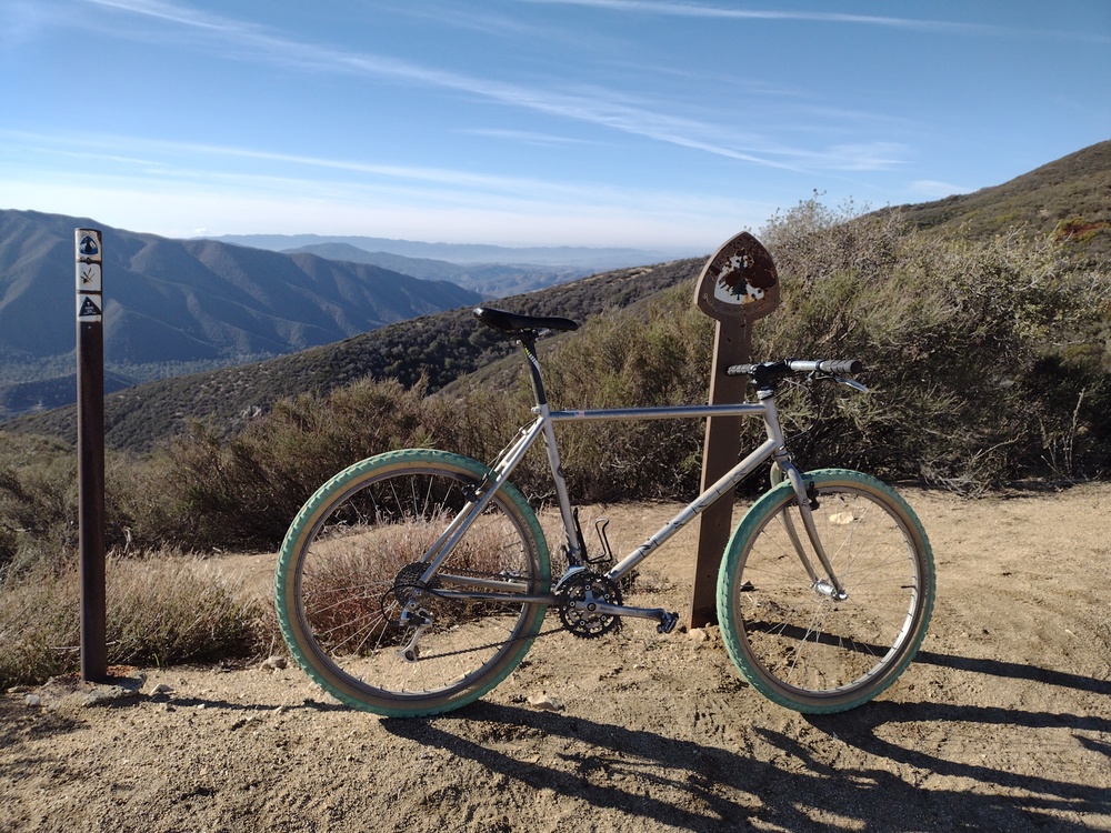
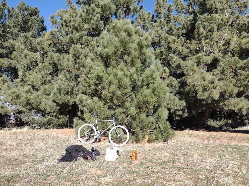
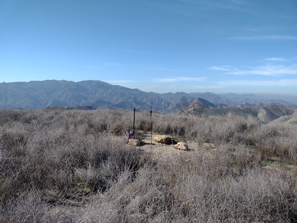
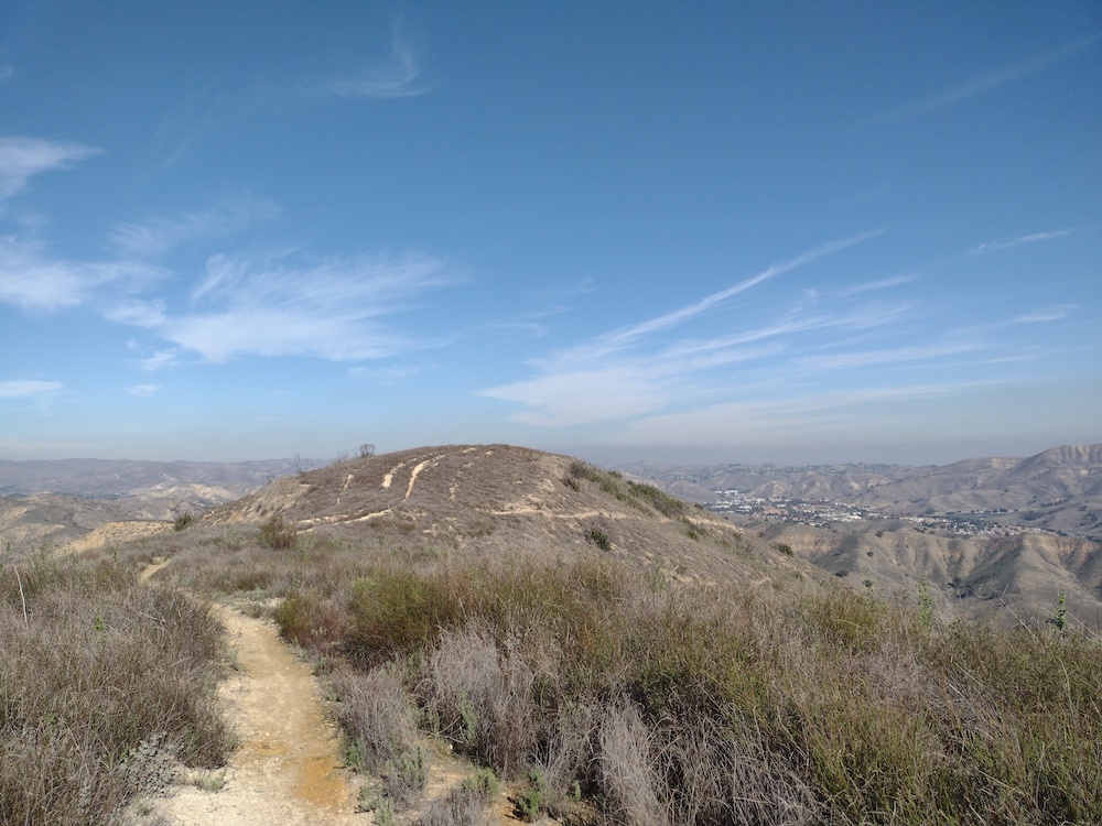
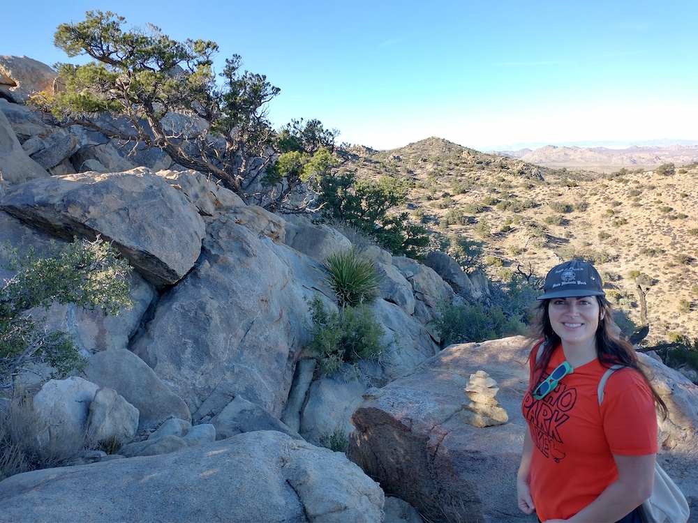
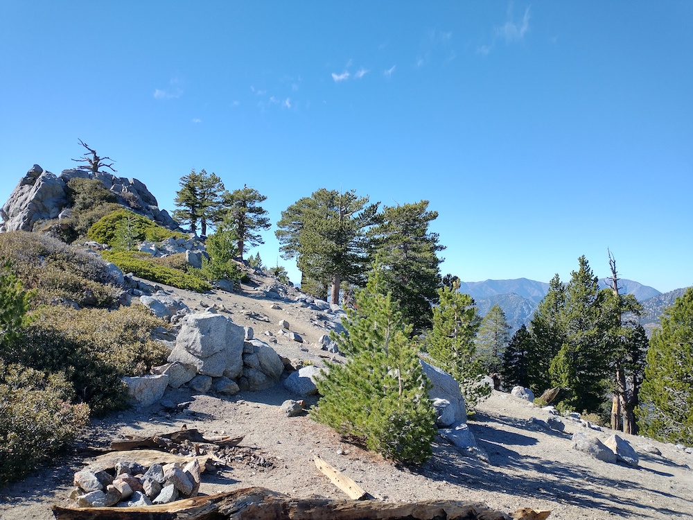
I like this one because there are several large trees on top, which is kinda unusual for this area. From what I’ve read, most people activate Grass Mountain as a drive up, but I parked the car at the paved road and took a mountain bike up the service road. The ride is under 3 miles and ~1000′ of elevation gain. Parts of the road were deeply rutted after recent rains, and I don’t think a passenger car would make it, however this will likely change once it gets graded. The top sports a few radio towers with equipment shelters. Adjacent to that is a nice grass field, where I setup my HF station. Worked 20M, 30M, 40M with several S2S contacts. I would have loved to stay up there longer, but I wanted to activate a second summit on the next ridge over, Burn Benchmark. I think I’ll bring a hammock and a cooler with a few drinks and a sandwich next time I’m here and spend all day in the trees.
Service road right before the gateRuts that would swallow my commuter carDeep ruts, bike for scaleThe PCT crosses the service roadThe only benchmark I could findThe station
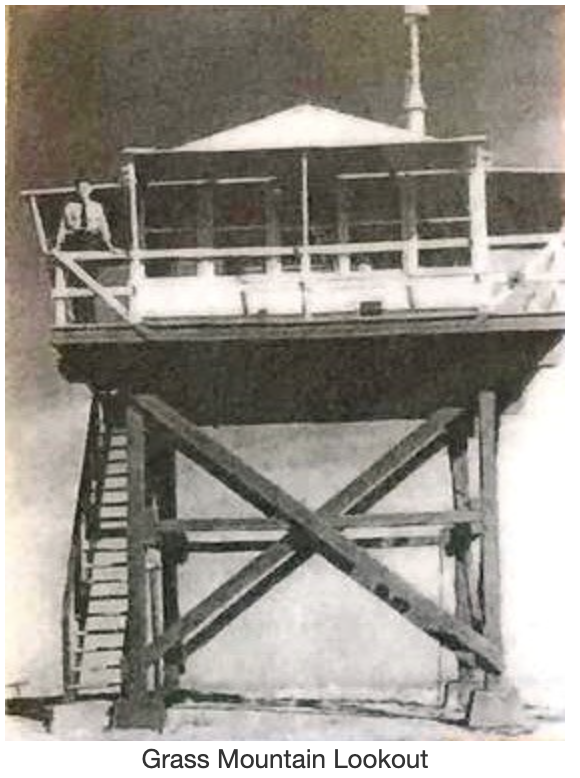
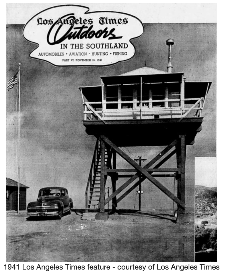
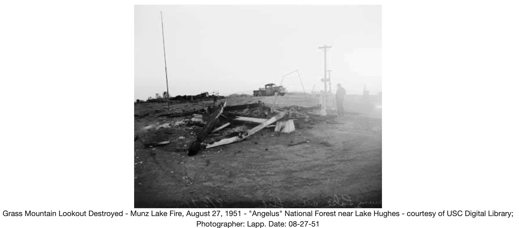
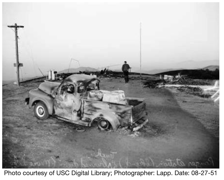
Edit – December 5th, 2022. At one time Grass Mountain hosted a fire lookout tower which was destroyed in a fire. The following info was borrowed from firelook.org without any permission whatsoever.
The Grass Mountain lookout was a cooperative lookout between the U.S. Forest Service and the Los Angeles County Forestry Department built in 1934. The structure was a California Region revision of the L-4 cabin on a 10 foot open timber tower.
The lookout was destroyed a wildfire in August 1951 and was not rebuilt.
This was my third summit of the day. I decided to hike this one last minute because SoCal traffic was going to start loading up, and I figured why not hike instead of sit in traffic? I parked in a neighborhood somewhere in Thousand Oaks/ Westlake Village right next to the trailhead. Not entirely sure the name. Also not sure if this is still the Santa Monica Mountains? The path up is well defined and easy to follow. At the top is a single bench. I setup my station here as the sun set and called CQ on 40M, but only two takers. Pulled out the FM HT and called CQ on 2M and had a few local contacts. At this point the dew was setting and everything was getting extremely wet, to the point my paper wasn’t working anymore. Made two additional contacts on 40M then packed the station down and headed back to the car. I took the fire break down instead of the trail the wraps around the back side of the summit. My flashlight died on the way down so I used the white LED on my Yaesu, ha! I should probably pack a spare set of cells next time.
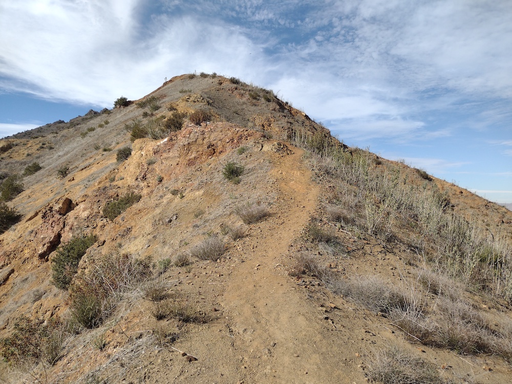
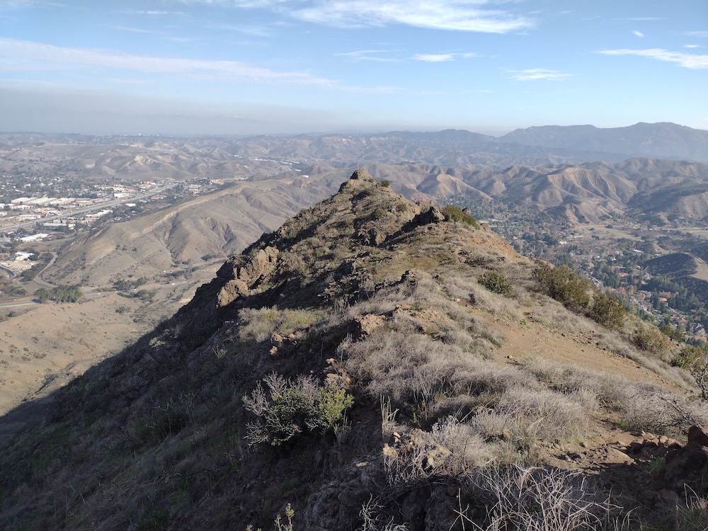
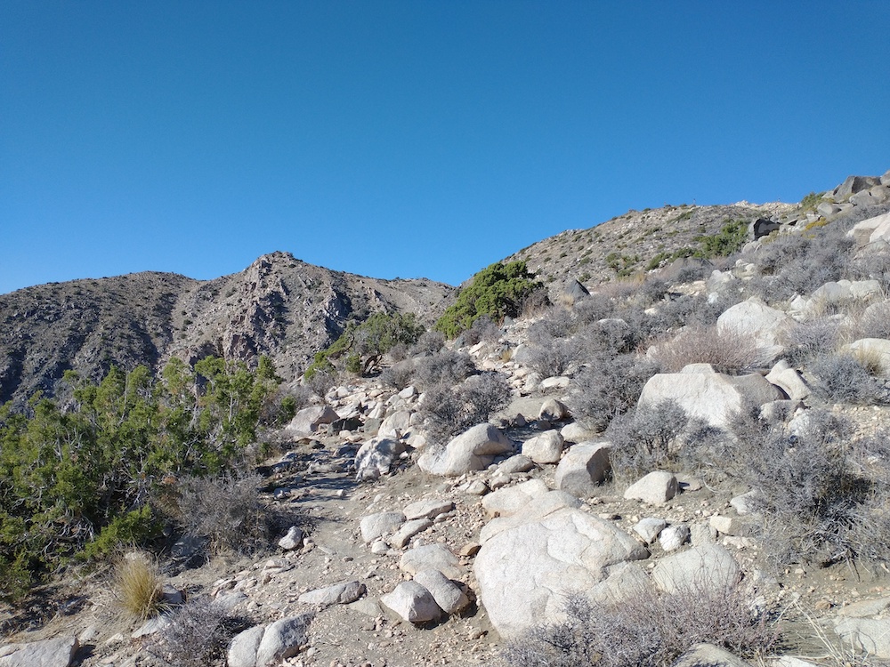
This was my first summit of the day out of three, one point summits in the Santa Monica Mountains. The trailhead is right off Mulholland Highway near Agoura Hills, and after about a mile hike in, you’re at the summit! No shade whatsoever. No rock pile to jam an antenna mast in. I ended up keeping my pole in my backpack and used my trekking pole as a secondary support which worked pretty well. It had been a few weeks since I thought about CW so I was super rusty and couldn’t remember how to send some things; I’m pretty sure I send David the wrong summit ref for our S2S. Worked 10M and 40M. Called out on 2M FM but had no takers. I packed the station up, headed down the hill and over to the next summit, Ladyface.
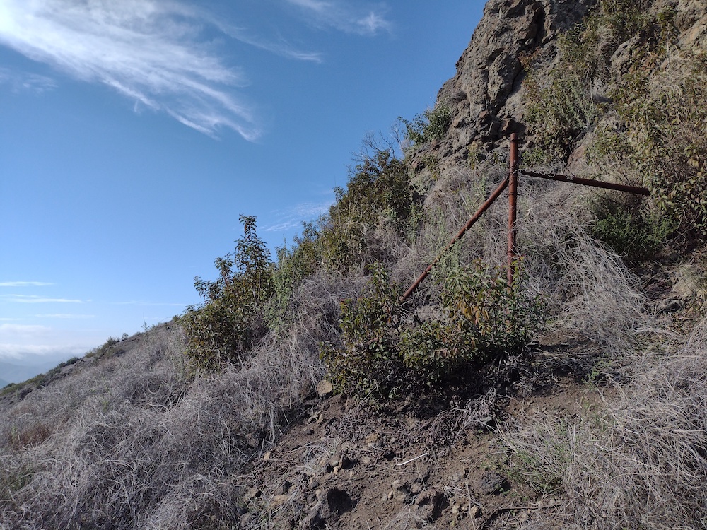
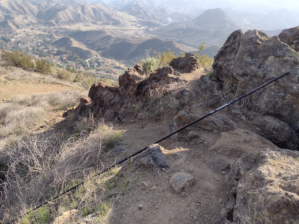
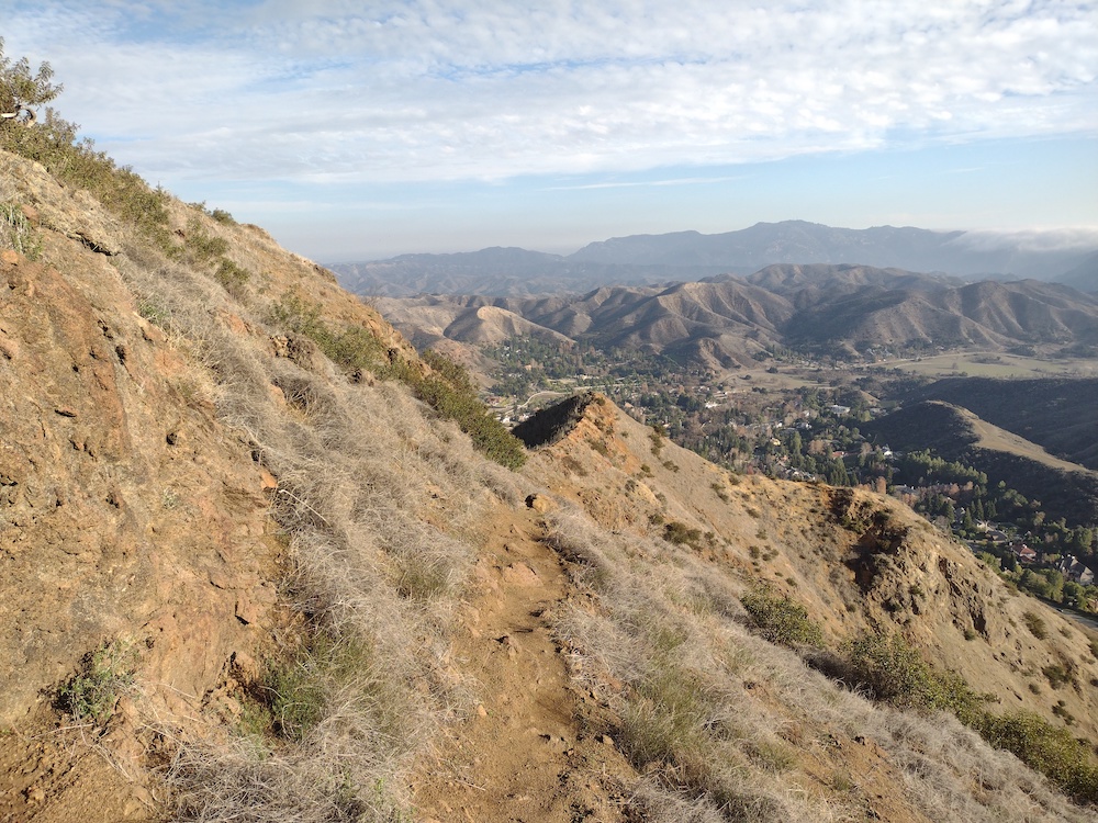
Ladyface is the second summit I did on a warm January day. The trailhead is easy to find, located just off the 101 on Kanan Rd. I parked on the side of the road and followed Ladyface Peak Trail to the summit. Quite steep in some areas and the road noise from the 101 and Kanan Rd never disappeared. I took the opportunity to rest a few times and marvel at the large estates below, and thought about how many tennis matches are actually played at all the tennis courts in various back yards. At the summit, I found a fiberglass fishing pole. I emailed the last activator asking if they wanted it back, but it wasn’t their pole! I setup my vertical and worked 10M and 40M. Two S2S. Tried 2M FM, but no takers. The weather turned and it got very cold quickly, which I was thankful for as it had been so hot hiking up. I packed the station away and headed down, thinking about how brutal this one would be in the middle of summer, and how I was glad to be doing it in January.
The trailheadHeading upSomeone put a fence up here years ago!Getting closer to the topFound a fishing pole! This wasn’t forgotten by the last person who activated the summit though.Heading downContinuing down
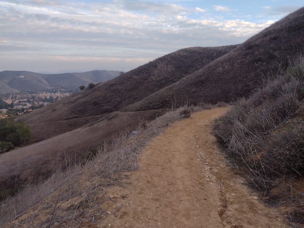
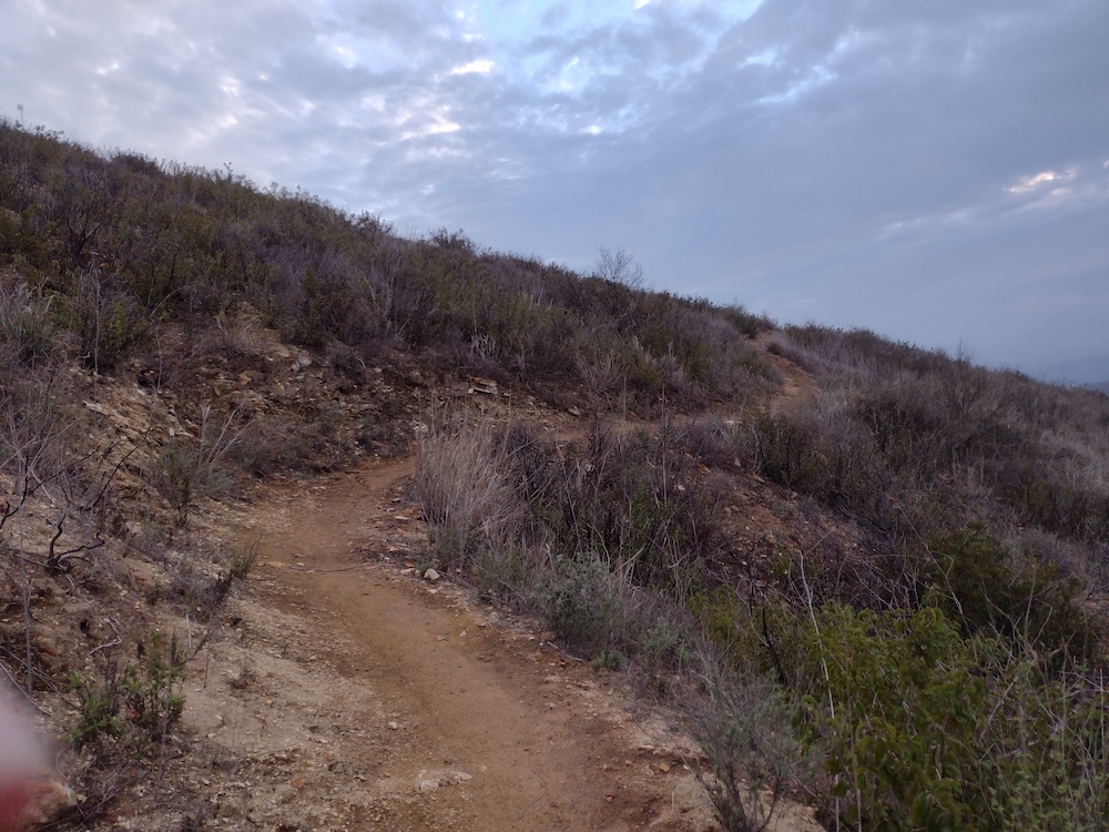
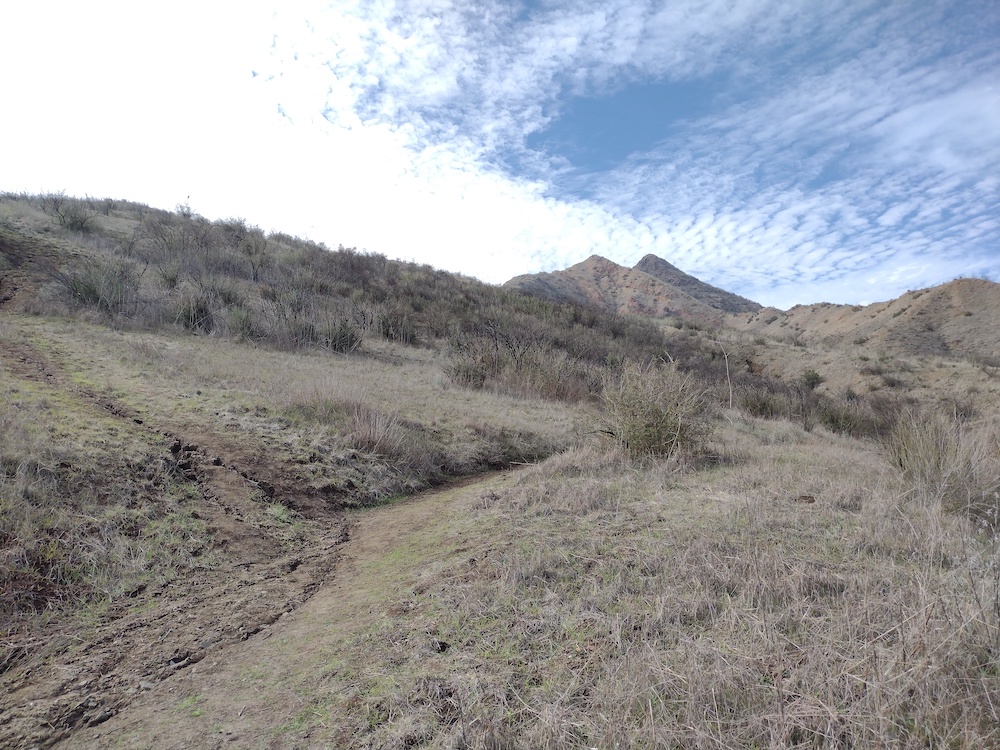
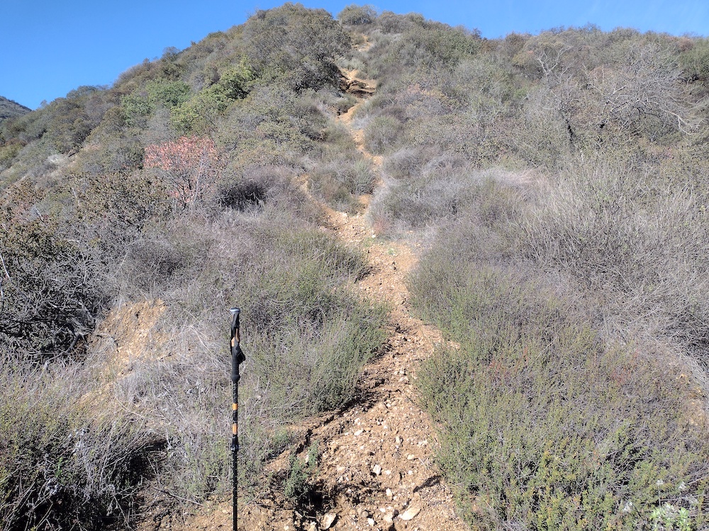
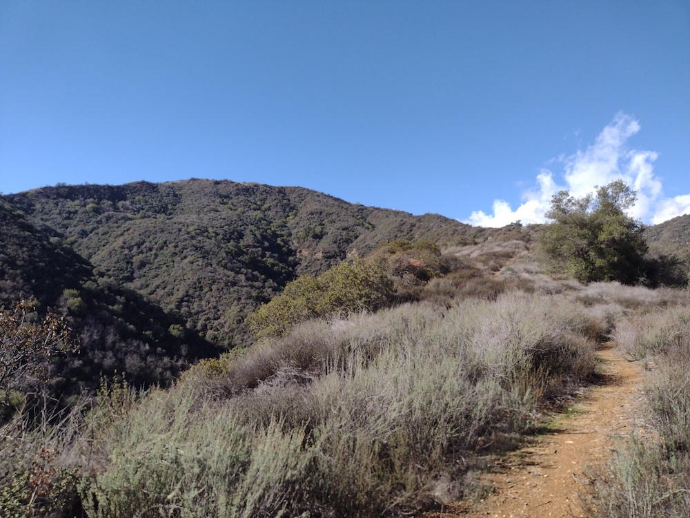
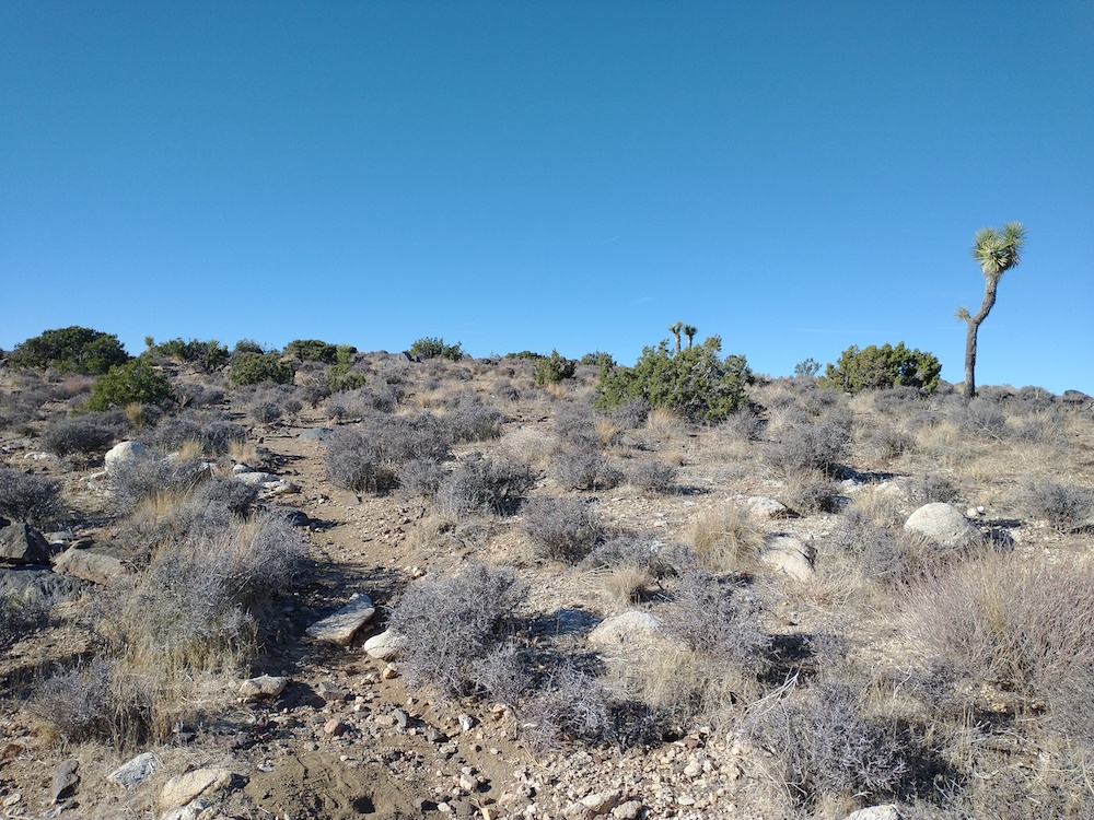
This activation wasn’t really planned. I was actually going to hike a different summit, however the trailhead had a large “Trail Closed” sign due to the Bobcat Fire. This didn’t stop anyone though, as I could see several others hiking up and down the switchbacks…. Anyways, I went back to the car and tried to figure out a plan B, which happened to be 2843. The hike starts out on a fire road. Around the one mile mark, split off road and head up a very steep firebreak. Luckily, we got some rain the ground was grippy instead of loose dust. Eventually you pass another road, but continue straight up the steep firebreak. At this point I felt like I was being stalked by a creature, but I never saw anything. Near the top, the hills were green with fresh grass, that reminded me of the default Windows XP desktop image. Once at the summit I setup my HF station, but I forgot to charge the battery! Doh! I was able to activate the summit with a HT only, on 2M, with one S2S. Hiking down, I wish I had a second trekking pole, because it was very steep!
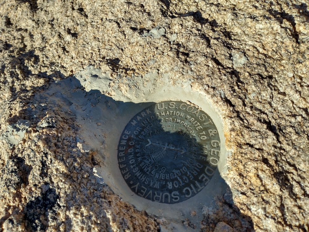
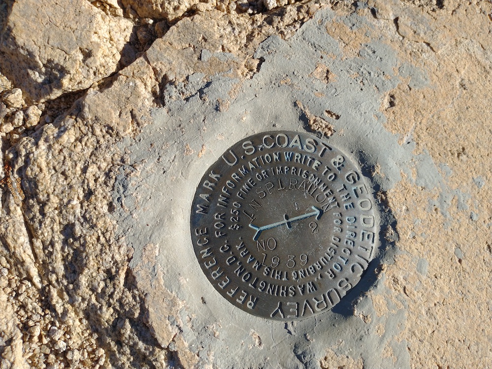
One of my hiking pals rented a house in Wonder Valley for their birthday, so, of course we needed to go hiking somewhere, and since we were right by Joshua Tree National Park, that’s where we went! At the crowded trailhead, we were able to easily find a parking spot. Others were not so lucky and had to turn around. In addition to passenger vehicles, there were a few tour busses, full of people, all headed up a paved walking path to a vista. Luckily, Inspiration point was the opposite direction of the tourists, and after a few minutes of hiking, they were out of sight. At the summit, I mostly worked 10M, with one S2S.
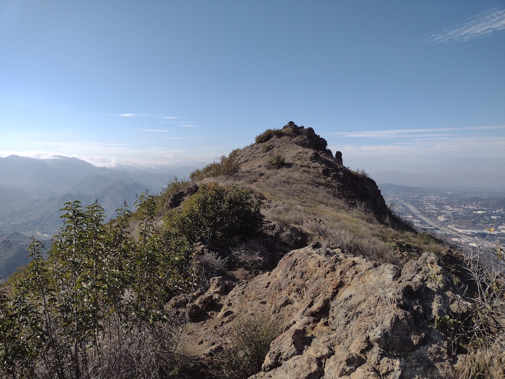
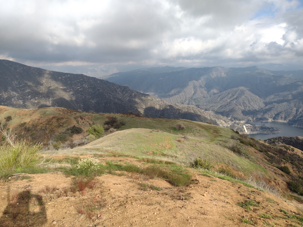
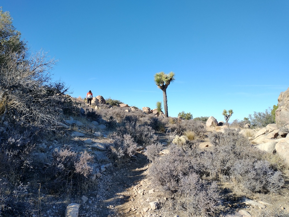
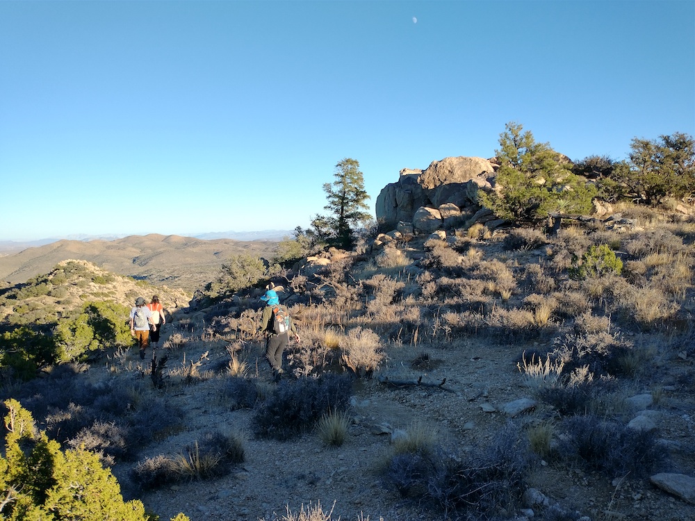
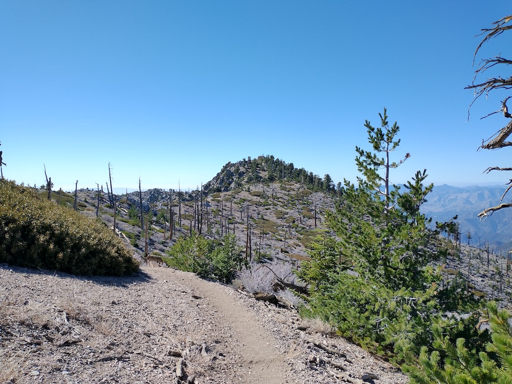
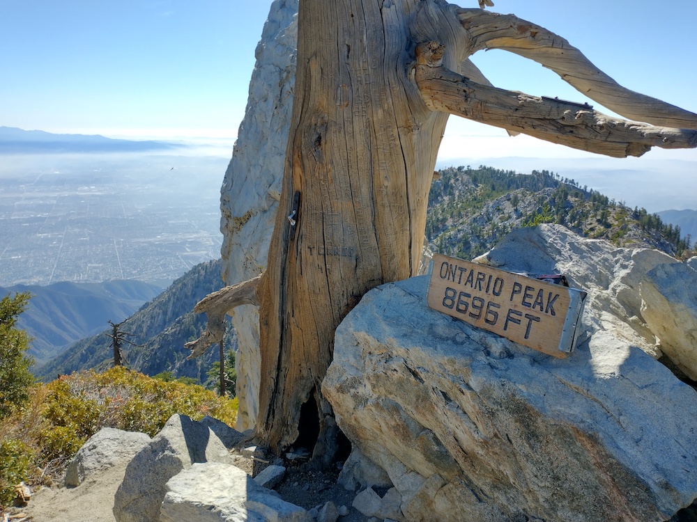
Ontario Peak was my 100th activation in the logbook, but really only my 97th or 98th activation as I’ve stayed on a couple summits past 00:00z a few times and worked chasers a second time so they could get double points. All that being said, I wanted my 100th activation to be a long hike, in addition, I wanted to hike to a summit I’ve never been to. Ontario Peak fit that description, and having hiked Ice House Canyon twice before I knew what I was getting into. Originally I was only going to bring an HT for UHF/ VHF to save weight, but at the last moment the FT817 kit found it’s way into my pack, however, I omitted the antenna mast and Bioenno battery and just brought some twine to support my vertical antenna from a tree, and some AA batteries to run the rig.
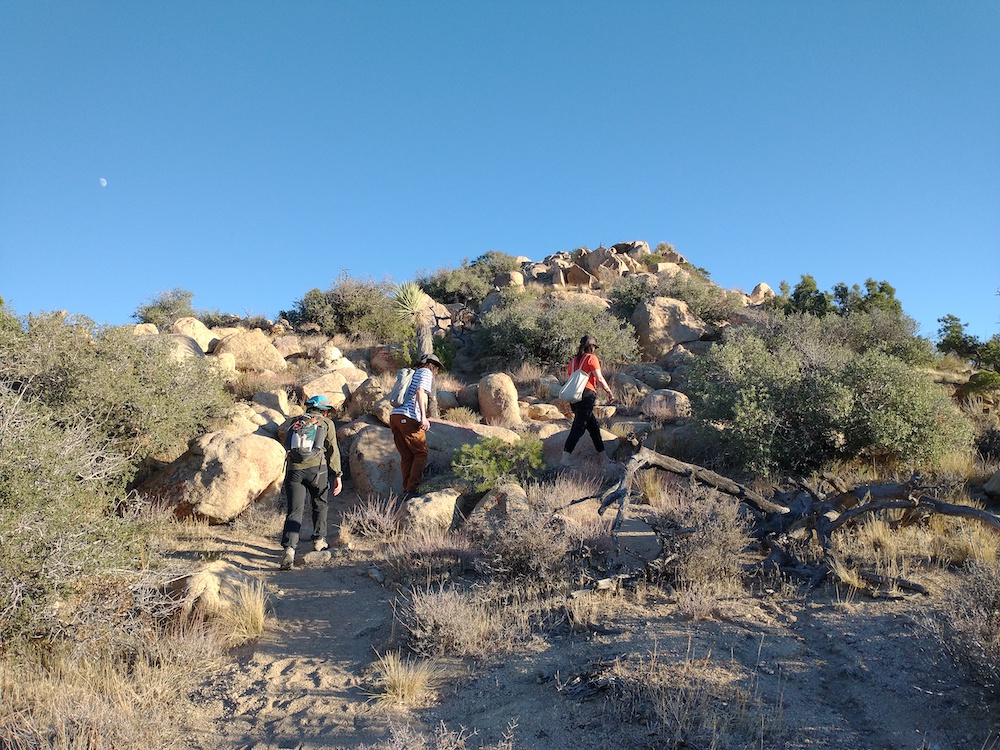
The hike up is somewhat popular, and about 6 miles to the summit with a bunch of elevation gain. Once at the top I was surprised to find how small the actual summit is. I ate a burrito and relaxed a bit before calling CQ on my HT. This immediately got me 4 contacts, 1 S2S. Feeling pretty exhausted from the hike up, I wasn’t feeling motivated to set up the HF station. Good trees to support a wire are all kinda off the edge of ridge and likely outside of the activation zone. Since I hauled the equipment up there, I figured I would just lay the vertical over the chaparral and see what happened. I sent a spot on 20m CW and to my surprise, made several contacts. Moving to 30m, the AA batteries in my radio were acting up and the rig shutdown several times while calling CQ, so I gave up. While packing up the rig, I heard 3 S2S stations on 2m. Whoooohoo! After working the S2S stations, I finished packing up for the 6 mile hike back to the trailhead.
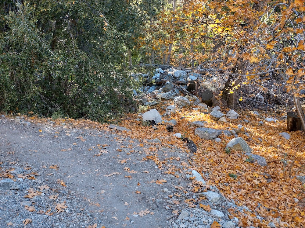
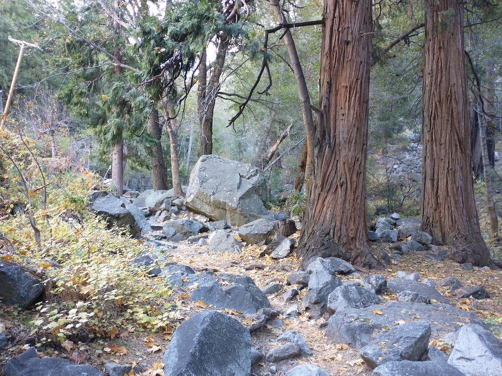
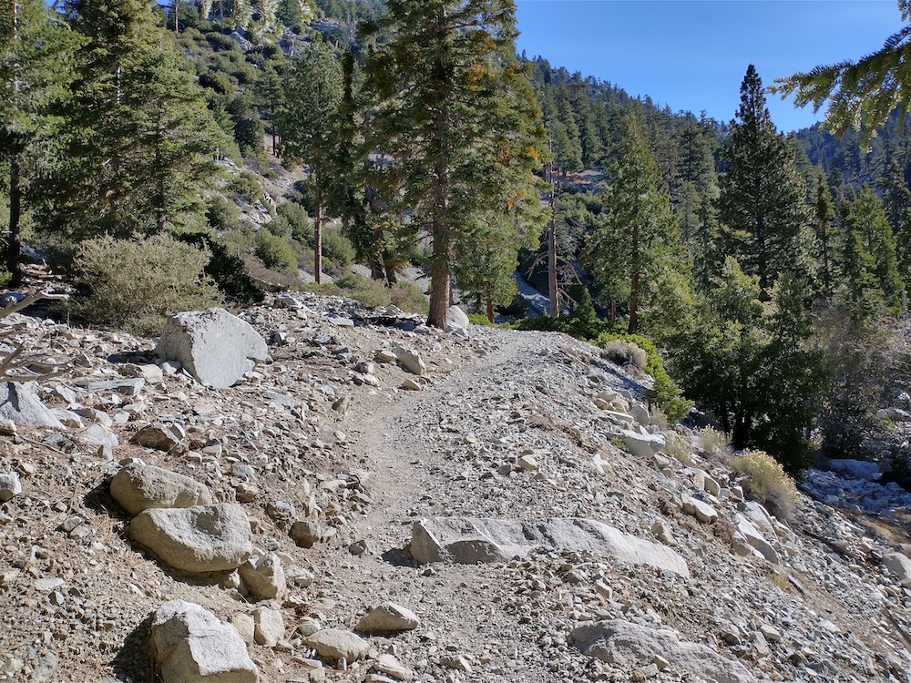
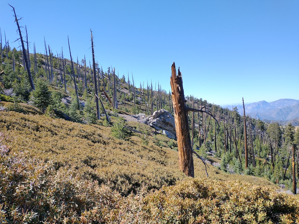
Fall colors!Icehouse Canyon Past the saddle, on the way to Ontario PeakLots of dead trees near the summitFirst view of the top!Made it to the top!One last photo of the summit on the way down.