W6/CT-214 – Calabasas Peak

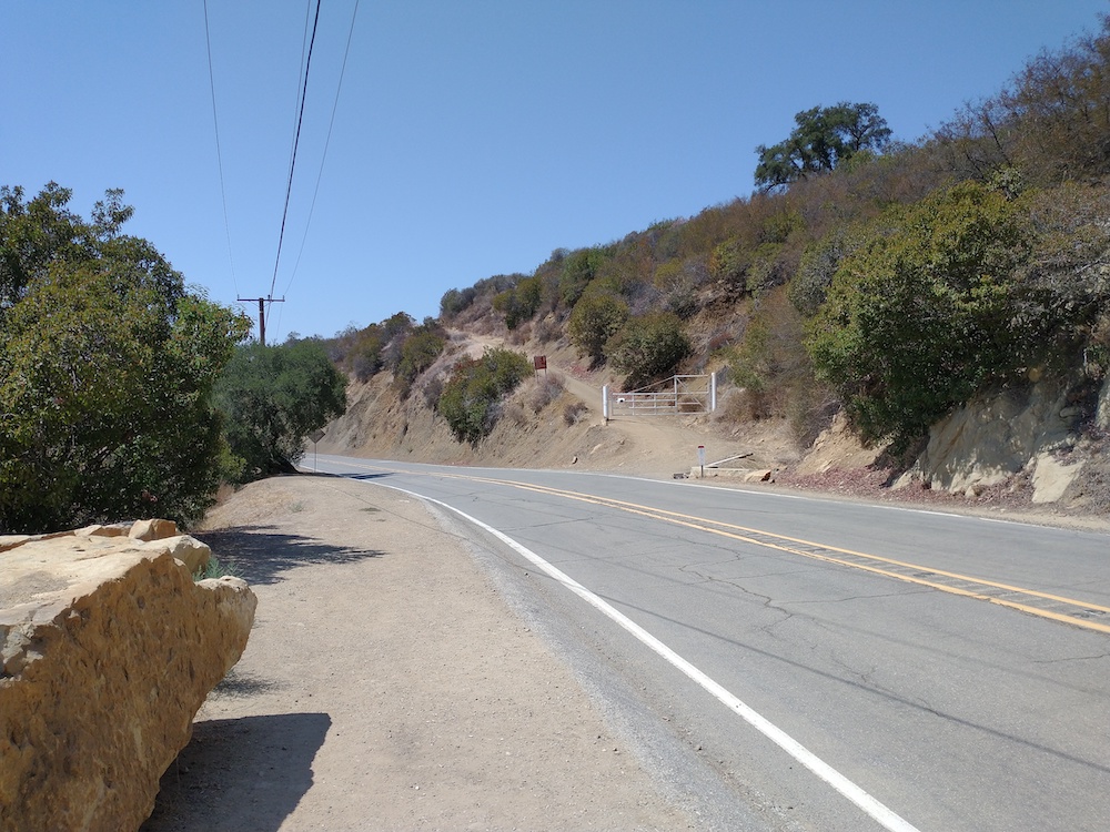
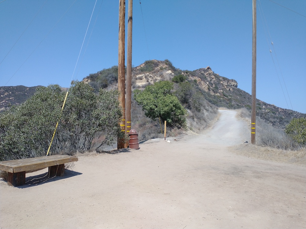
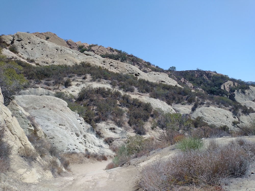
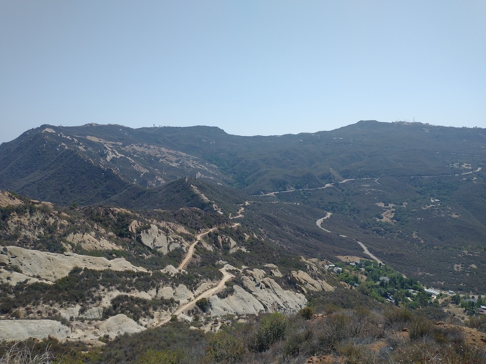
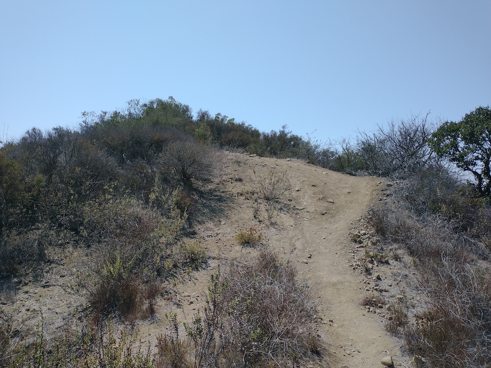
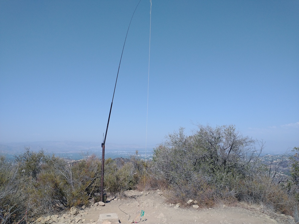
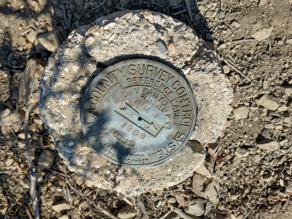
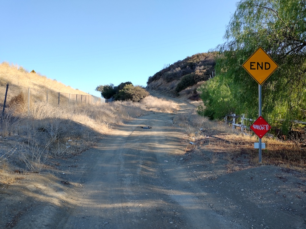
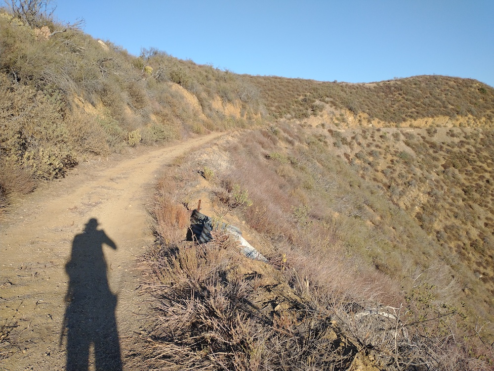
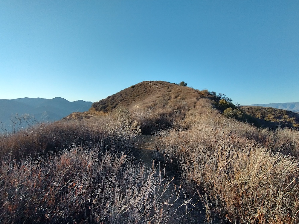
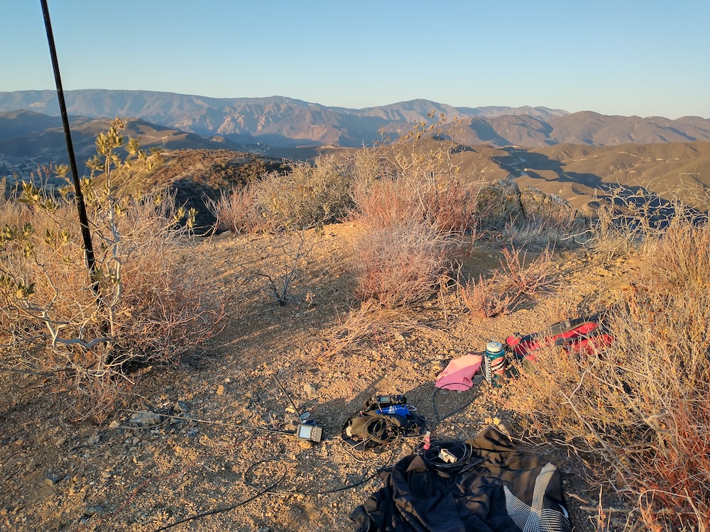
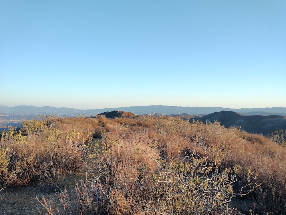
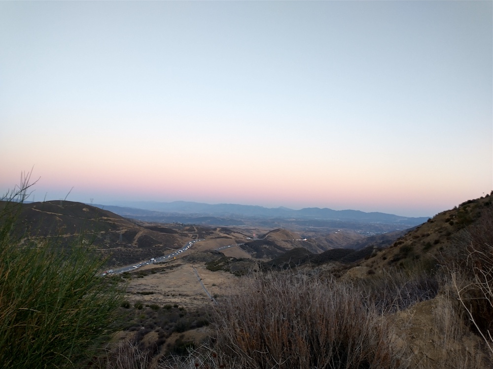
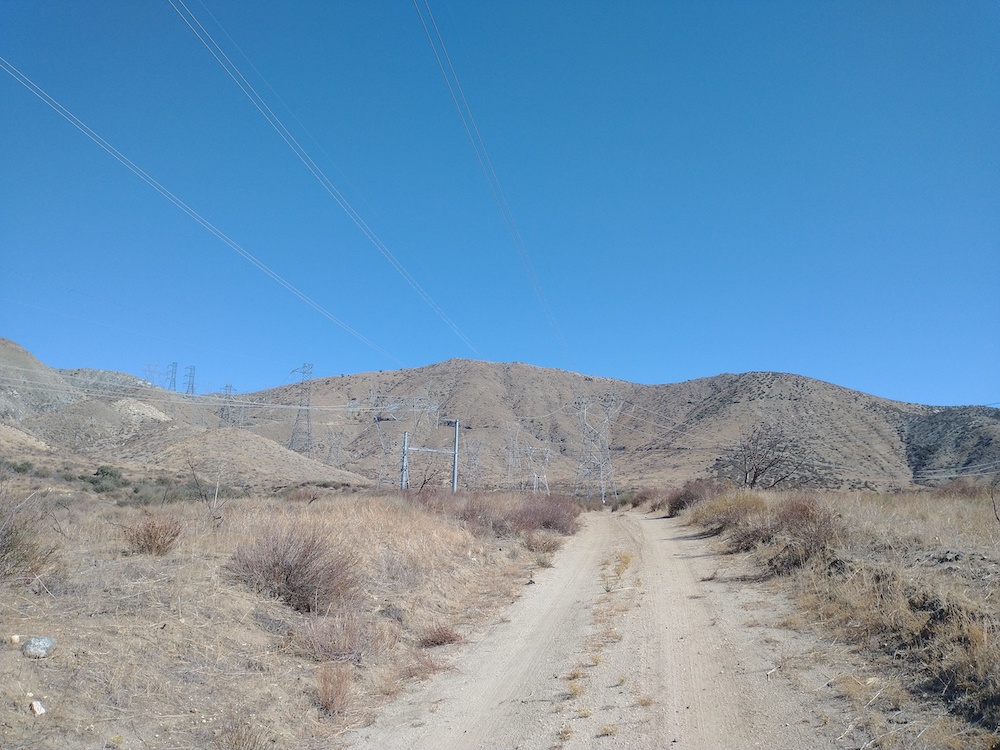
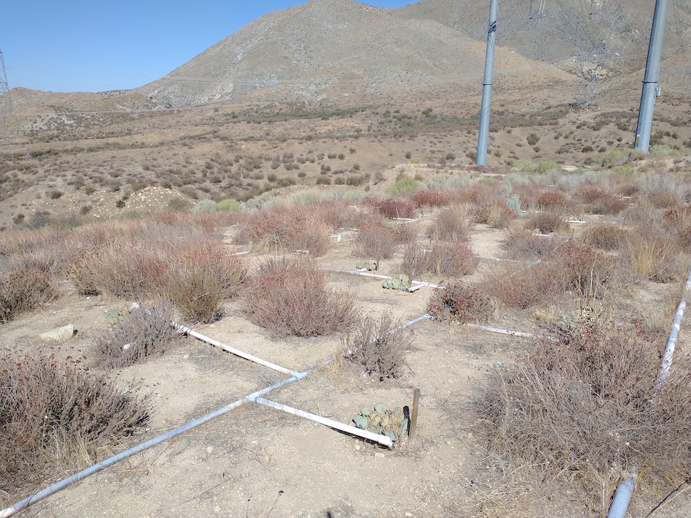
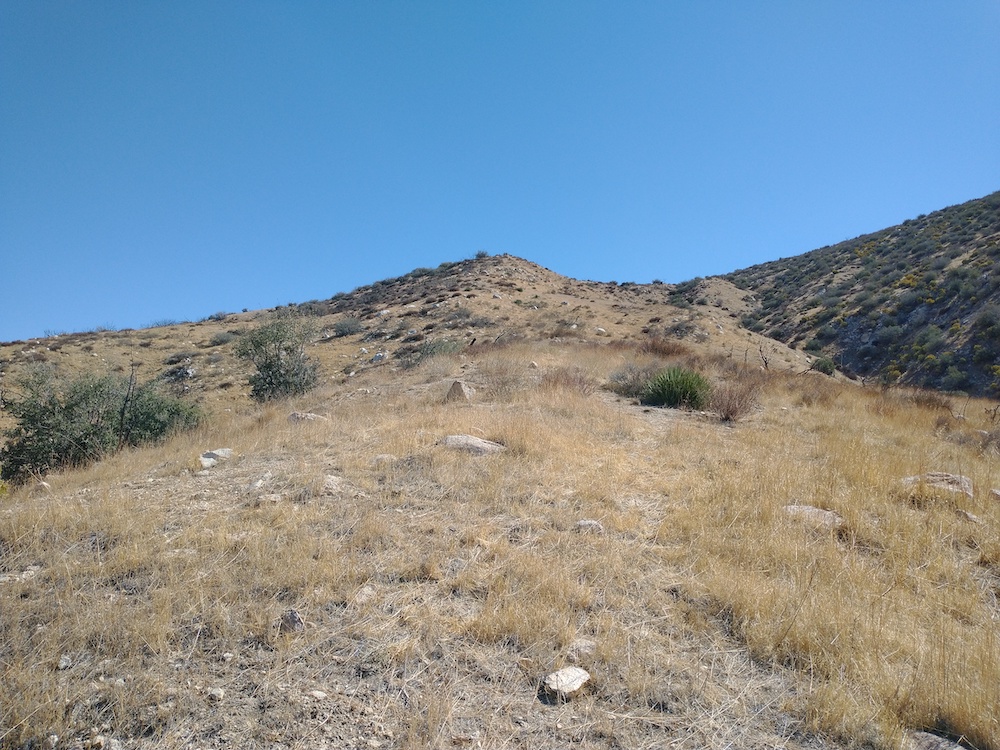
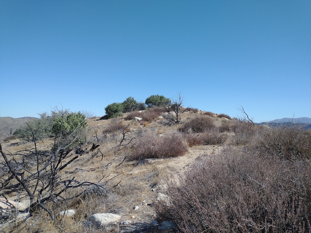
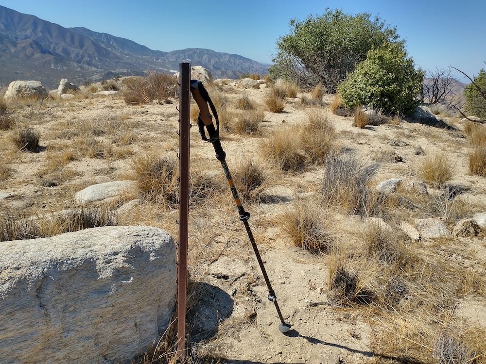
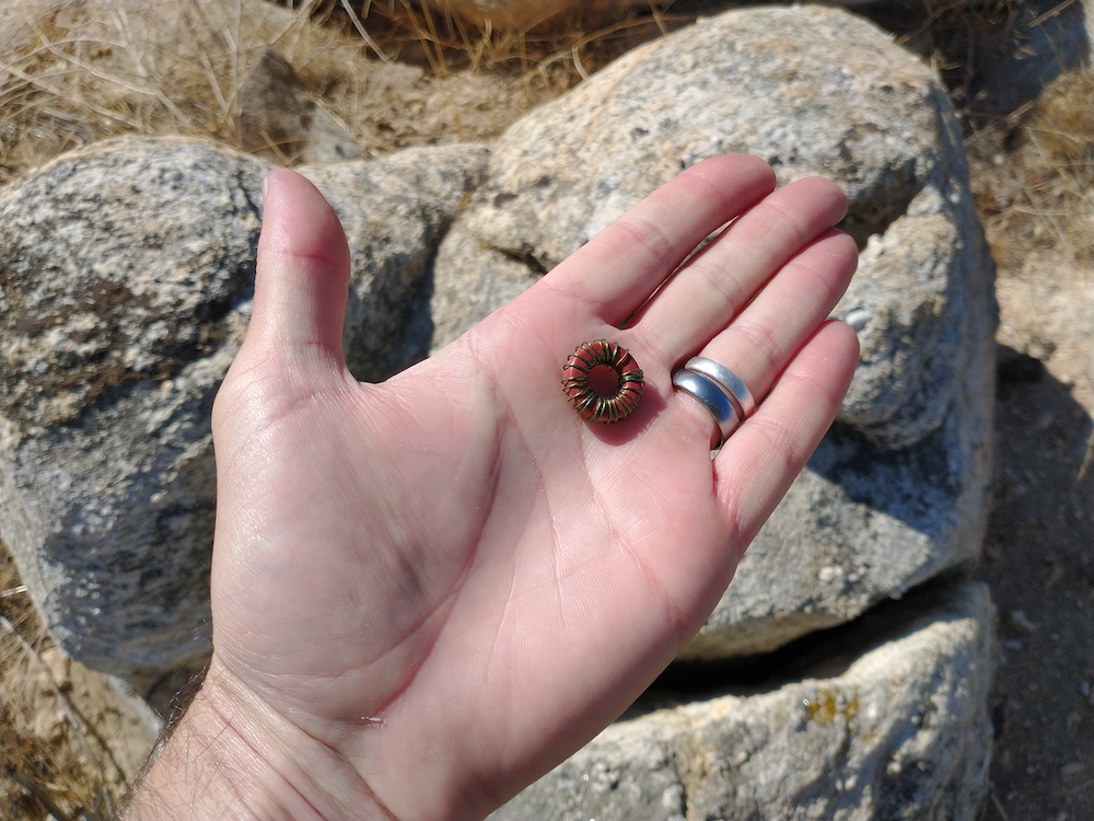
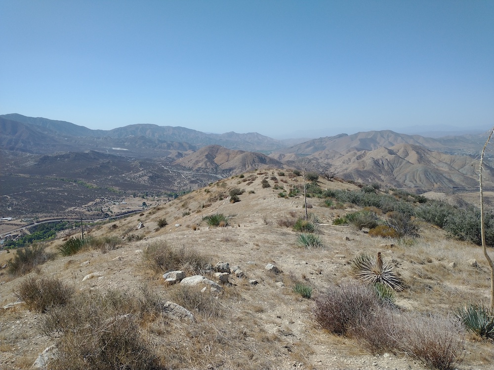
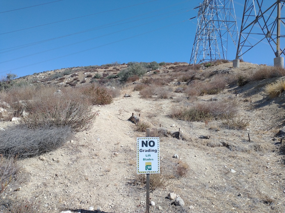
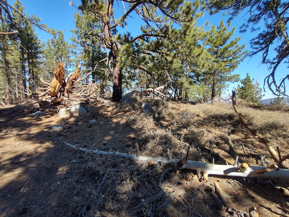
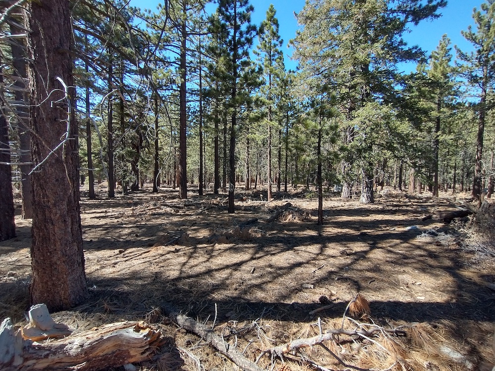
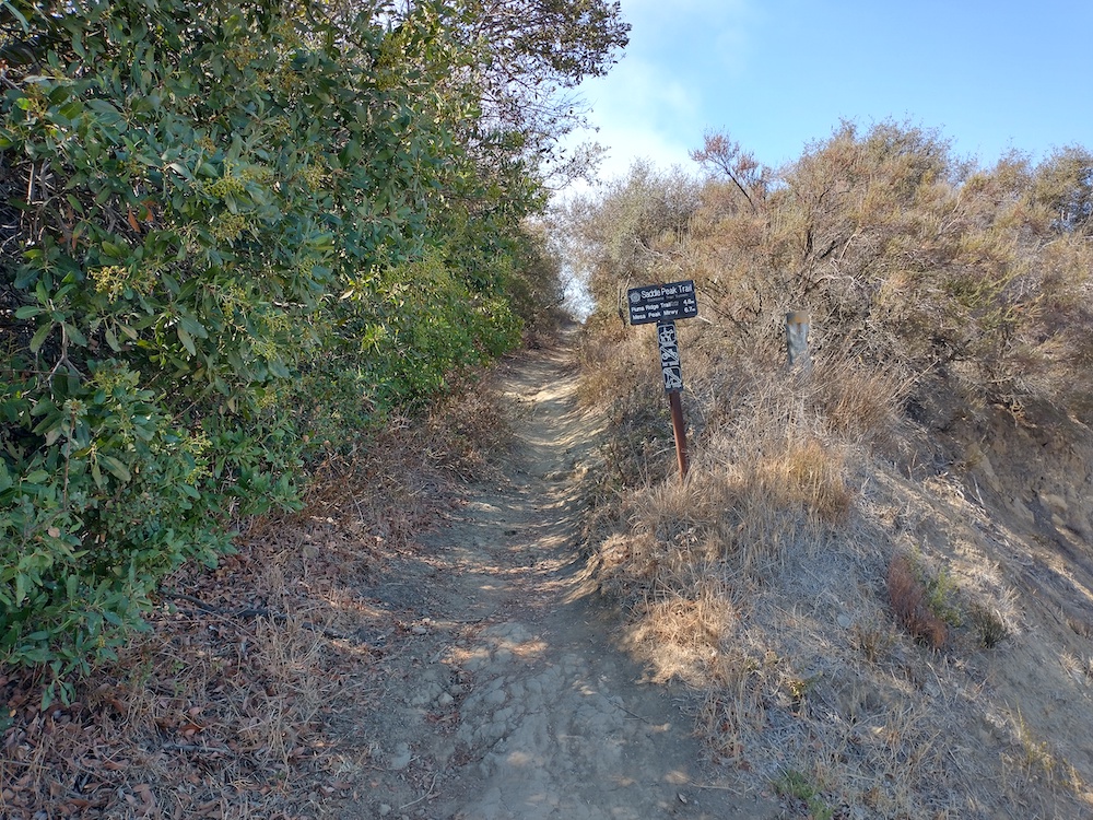
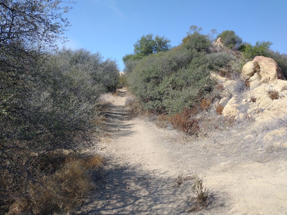
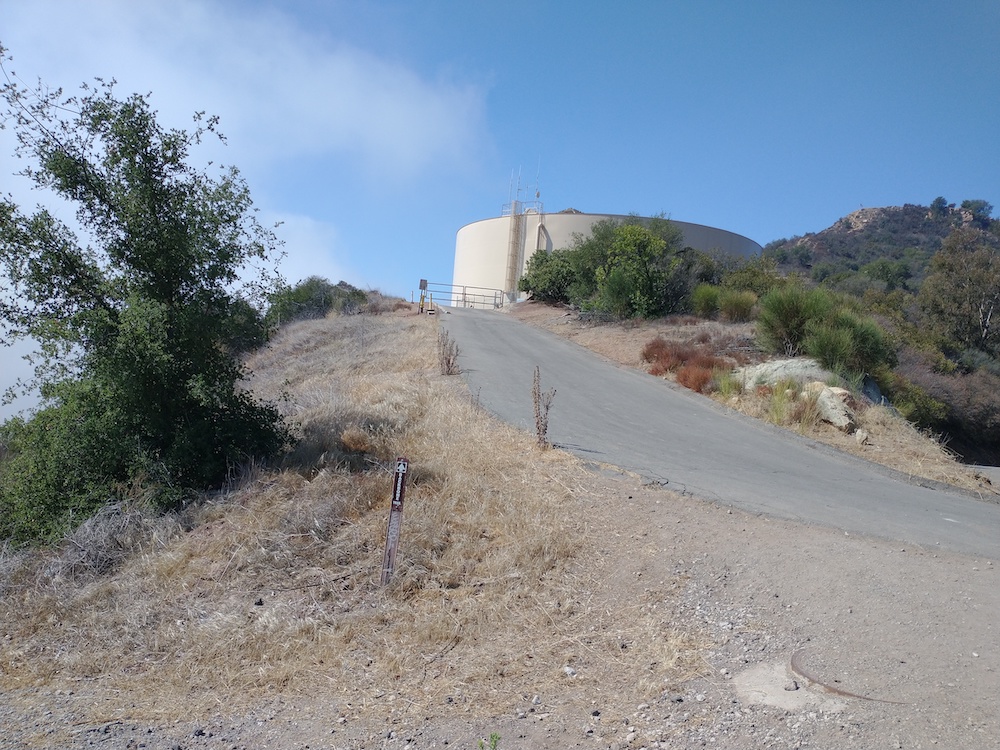
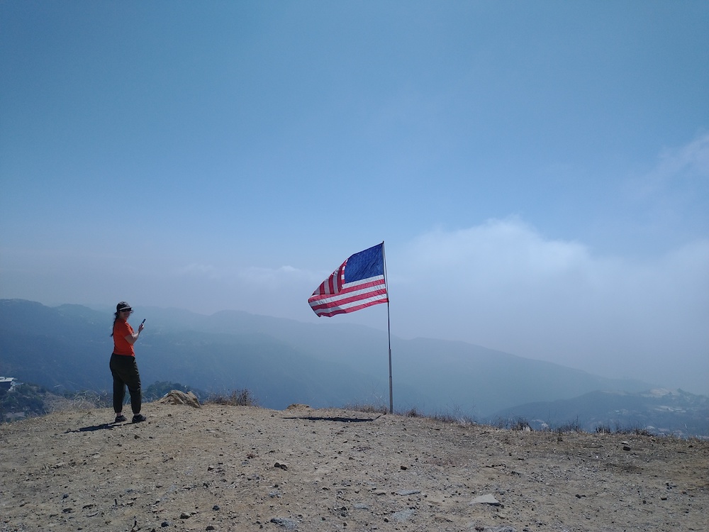
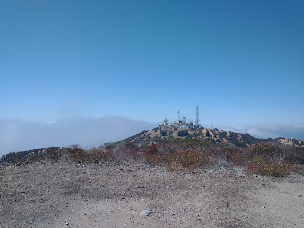
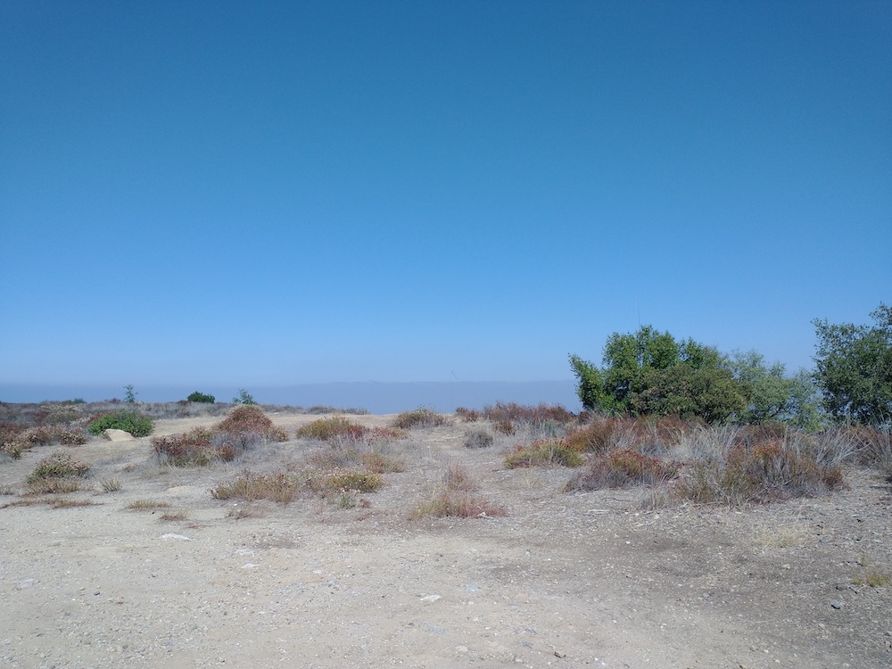
Calabasas Peak is the first summit I activated in the Santa Monica Mountains. I parked across the street from the trailhead on Stunt Road and walked up the steep fire road to the summit. Once there, you will find a couple different benchmarks and a sturdy post to hold an antenna mast. There is little to no shade on the hike up, and very little shade at the summit. I drank 2 liters of water on the short 3.5 mile hike, as it was quite hot the day of my activation.

https://sotl.as/summits/W6/CT-214

Total distance: 3.69 mi
Max elevation: 2152 ft
Total climbing: 1107 ft
Total time: 03:18:26
Download file: Calabasas_Peak.GPX

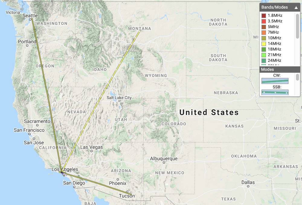
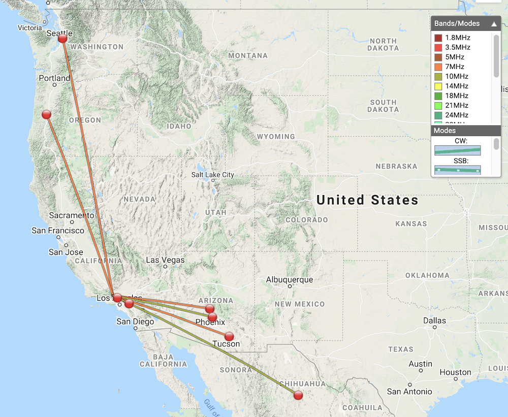
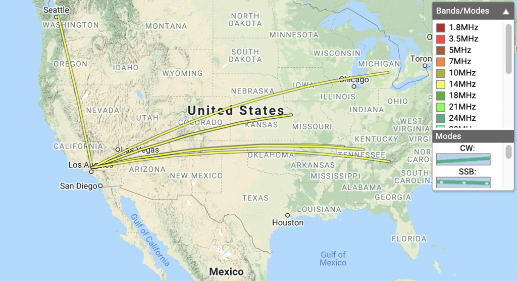
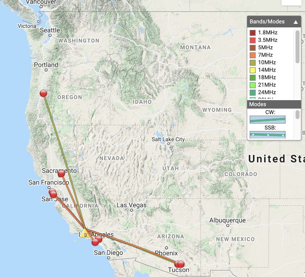
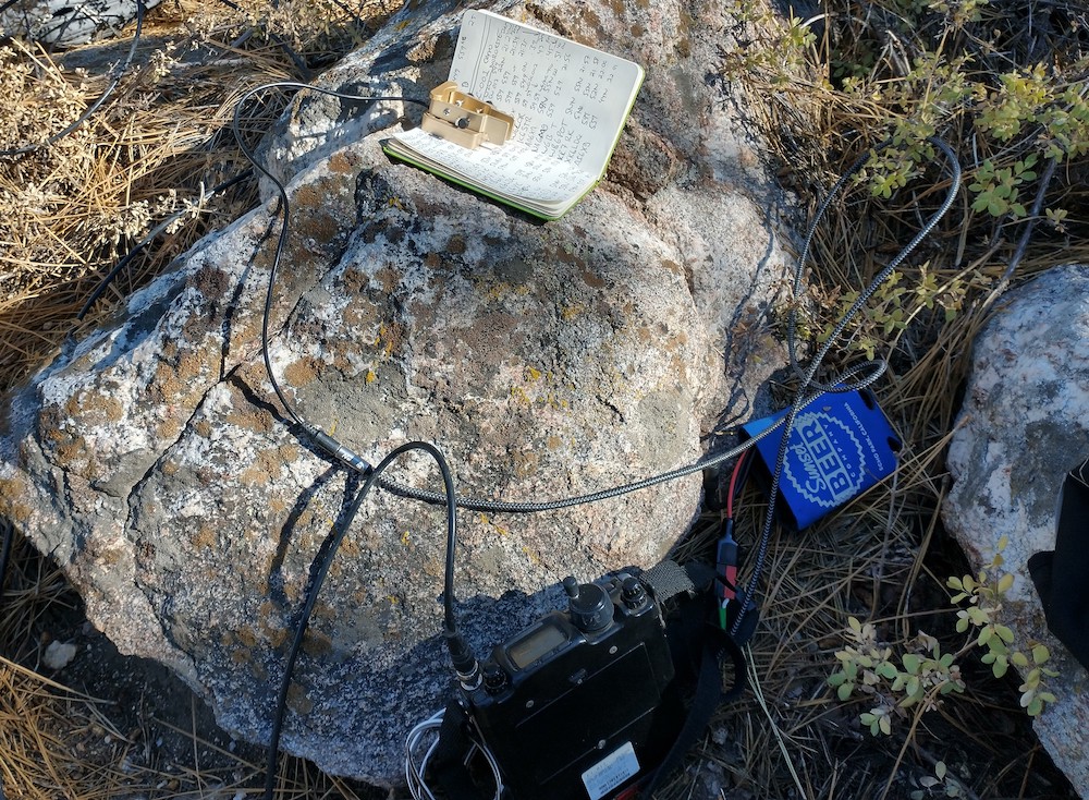
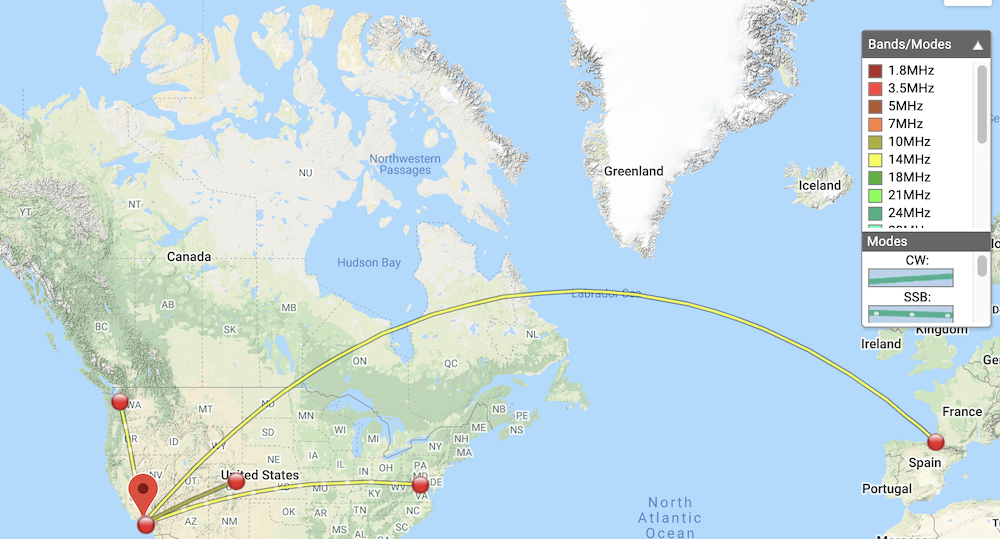
Date:08/09/2021 | Summit:W6/CT-214 (Calabasas Peak)

TimeCallsignBandModeNotes
21:24KB9ENS10MHzCWS559 R559 S2S W5N/SI-001
21:41K6TUY14MHzSSBS59 R59
21:42K6ARV14MHzSSBS58 R53
21:42N0WAE14MHzSSBS58 R44
21:54AJ6CL14MHzCWS599 R599 S2S W6/CT-218
22:04WW7D10MHzCWS559 R549
22:05NG6R10MHzCWS559 R559
22:07AA7OY10MHzCWS559 R559
22:09AB6ET10MHzCWS559 R579
22:26K6LDQ144MHzFMS59 R59
22:27KI6SLA144MHzFMS59 R57
Stay to the left here
Hard to tell here, but the road is a bit too steep for reasonable mountain biking.

W6/SC-161 – Townsend Peak

This is a pretty easy two point summit just off Interstate 5 north of Santa Clarita. Park near Templin Highway and find the fire road along the south side of the highway. Follow this up to a locked gate and continue up the hill. Eventually you will come to a saddle, with a light use trail which leads to the summit. Watch out for rattle snakes! Worked 20M, and 40M CW, no S2S.

https://sotl.as/summits/W6/SC-161

Total distance: 3.01 mi
Max elevation: 3179 ft
Total climbing: 824 ft
Total time: 01:50:59
Download file: Townsend.GPX

Date:11/10/2021 | Summit:W6/SC-161 (Townsend Peak)

TimeCallsignBandModeNotes
00:37WW7D7MHzCWS559 R439
00:40K6QCB7MHzCWS549 R42N
00:42N7CNH7MHzCWS559 R44N
00:44KF6HI7MHzCWS599 R559
00:48KR7RK7MHzCWS599 R229
00:51W6GRT7MHzCWS549 R56N
00:55NU7B10MHzCWS559 R33N
00:58N7BHP10MHzCWS55N R33N

W6/CT-262 – 4300

There is something about the lower elevation summits along highway 14 that I really like, and while I’m not sure exactly what that thing is, 4300 has it. I started this hike from Aliso Canyon Road and followed the transmission line service road under a support tower and started hiking up cross country style as there was no trail. After a false summit, I made it to the top where it was quite windy. I was able to find a place to sit next to a thick bush which provided some relief from the wind, and a burned tree provided good support for the vertical antenna. There was good cell service, so I spotted myself on 30M. While calling CQ, I noticed some strange noises from the receiver, thinking nothing of it, I continued calling but got no replies… I figured I would try another band. Changing bands require a switch to flipped at the feed point, which adds a loading coil for whatever band was selected. To my surprise, the loading coil for 30m was sitting on the ground – no wonder the radio wasn’t working! The good news was I could still activate on 20M, as this antenna design resinated well there without coils. Made one S2S. On the hike down I picked up a faint use trail and followed it back to the service road. What a great day!

https://sotl.as/summits/W6/CT-262

Total distance: 17.83 mi
Max elevation: 4183 ft
Total climbing: 34045 ft
Total time: 04:22:25
Download file: 4300.gpx

Date:15/10/2021 | Summit:W6/CT-262 (4300) | 

TimeCallsignBandModeNotes
19:40W0MNA14MHzCWS559 R559
19:42K2JB14MHzCWS229 R229 S2S W4C/WM-014
19:45W0ERI14MHzCWS589 R55N
19:46N4MJ14MHzCWS559 R559
19:49AI7FF14MHzCWS55N R559
19:53W4SK14MHzCWS559 R559
19:55WW7D14MHzCWS599 R569
19:57K8LJG14MHzCWS5NN R33N
Typical views
restoration area
Summit is in view
This post must be the summit marker?
Lost a loading coil which took out 30M/ 40M. 🙁
Heading down

W6/SC-001 – Cerro Noroeste

Cerro Noroeste is a super accessible summit and campground near Pine Mountain Club/ Frazier Mountain. At the entrance there you will find an iron ranger asking for a $10 day use fee. I parked down the road and displayed my forest service pass on my rear view mirror and hiked 5 minutes to the summit instead of taking a camping spot. Lots of trees available to string up an antenna. Worked 20m, 30m, 40m, cw, 2m s2s with K6STR and W6LOR on San Emigdio Mountain, just one peak over!

https://sotl.as/summits/W6/SC-001

Date:10/10/2021 | Summit:W6/SC-001 (Cerro Noroeste)

TimeCallsignBandModeNotes
21:23K7DDC14MHzCWS54N R22N S2S W7W/CW-017
21:34K6HPX10MHzCWS559 R559
21:35K6EA10MHzCWS599 R559
21:39W6TDX10MHzCWS559 R549
21:43W6LOR144MHzFMS59 R59 S2S W6/SC-002
21:45K6STR144MHzFMS59 R59 S2S W6/SC-002
21:51AA6XA7MHzCWS599 R55N S2S W6/NC-410
21:56NA6MG7MHzCWS559 R519
21:57WB6POT7MHzCWS599 R559
21:58KR7RK7MHzCWS599 R55N
22:00K6LDQ7MHzCWS599 R529
22:01AI6XG7MHzCWS559 R44N
Summit is this pile of rocks.
Hard to tell from this photo, but the paved campground road is right through those trees.
Station setup on the rocks.

W6/CT-274 – Saddle Peak

At the time of this activation, the Angeles National Forest was closed due to fires, so my SOTA efforts move to the Santa Monica Mountains. Saddle Peak is a 2 point summit and is well hiked by locals. An quick mile up, and a mile down makes this an easy summit to bag, but please note there isn’t much shade. At the summit, paragliders were starting their flights to the beach in Malibu. Worked 20M SSB/ CW and 30M CW.

https://sotl.as/summits/W6/CT-274

Total distance: 2 mi
Max elevation: 2789 ft
Total climbing: 537 ft
Total time: 02:17:52
Download file: Saddle_Peak.GPX

Date:17/09/2021 | Summit:W6/CT-274 (Saddle Peak)

TimeCallsignBandModeNotes
18:34KN6PHZ14MHzSSBS57 R56
18:37WW7D14MHzSSBS56 R53
18:38K6LDQ14MHzSSBS59 R56
18:39W4KRN14MHzSSBS52 R33
18:54WY7N10MHzCWS559 R52N S2S W7U/TO-016
19:02WG0AT10MHzCWS579 R529
19:13N4LAG14MHzCWS559 R549 S2S W0D/BB-028
19:21N6ARA14MHzCWS599 R5NN S2S W6/CT-153
19:23F4WBN14MHzCWS549 R5NN
Trailhead sign for Saddle Peak
Water tank, trail continues around the back side.
Wife at summit
Radio facility over on the next hill.
Typical view at the top.