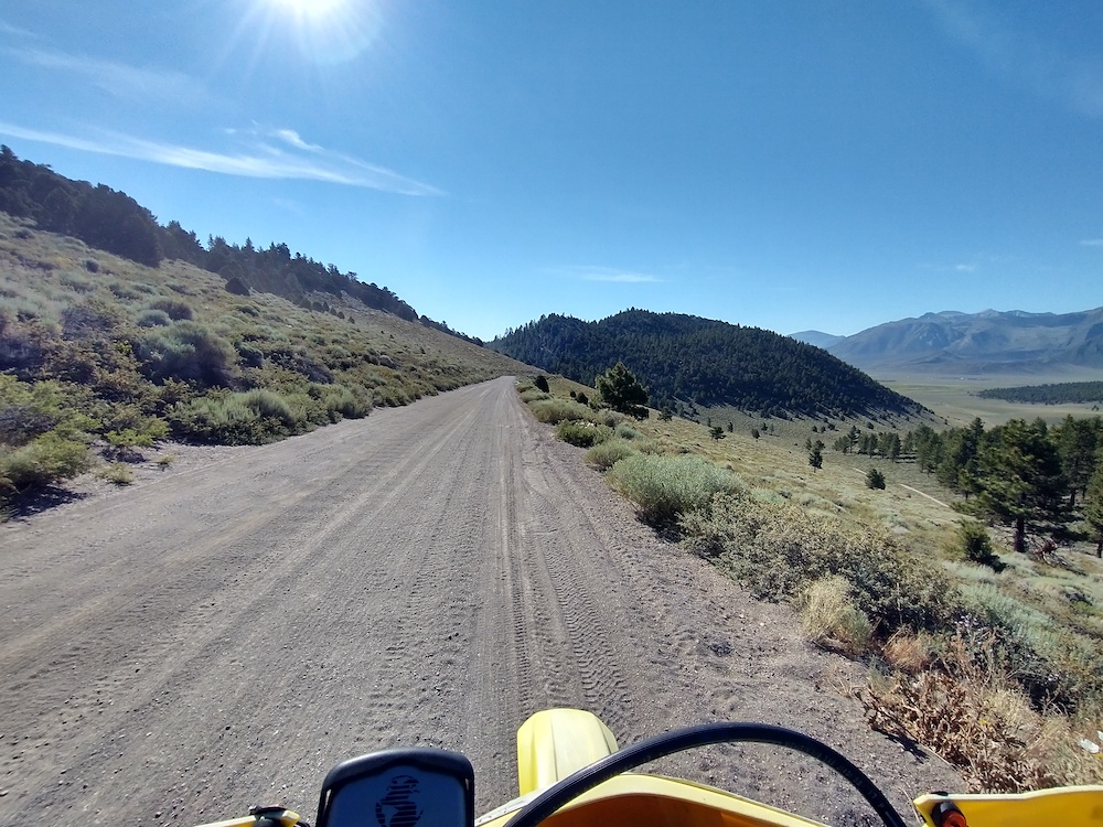
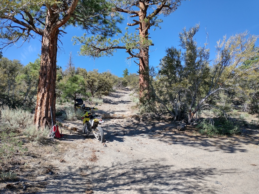
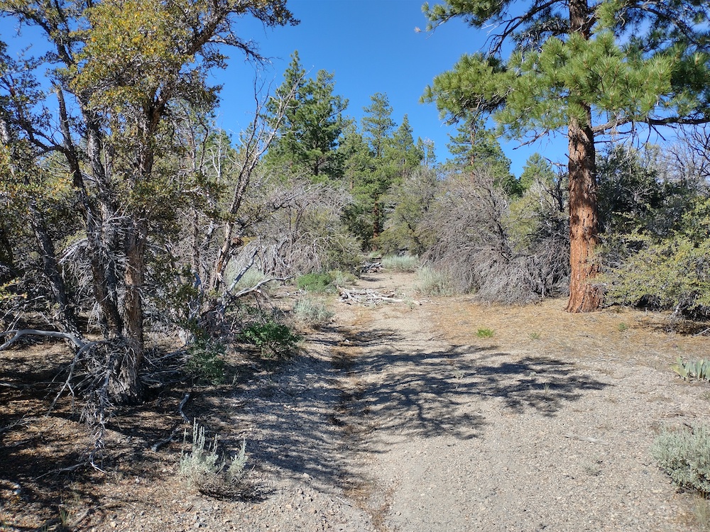
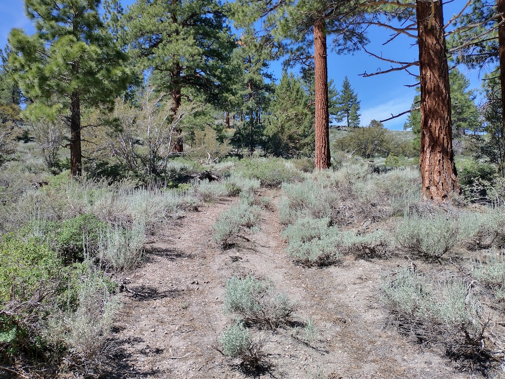
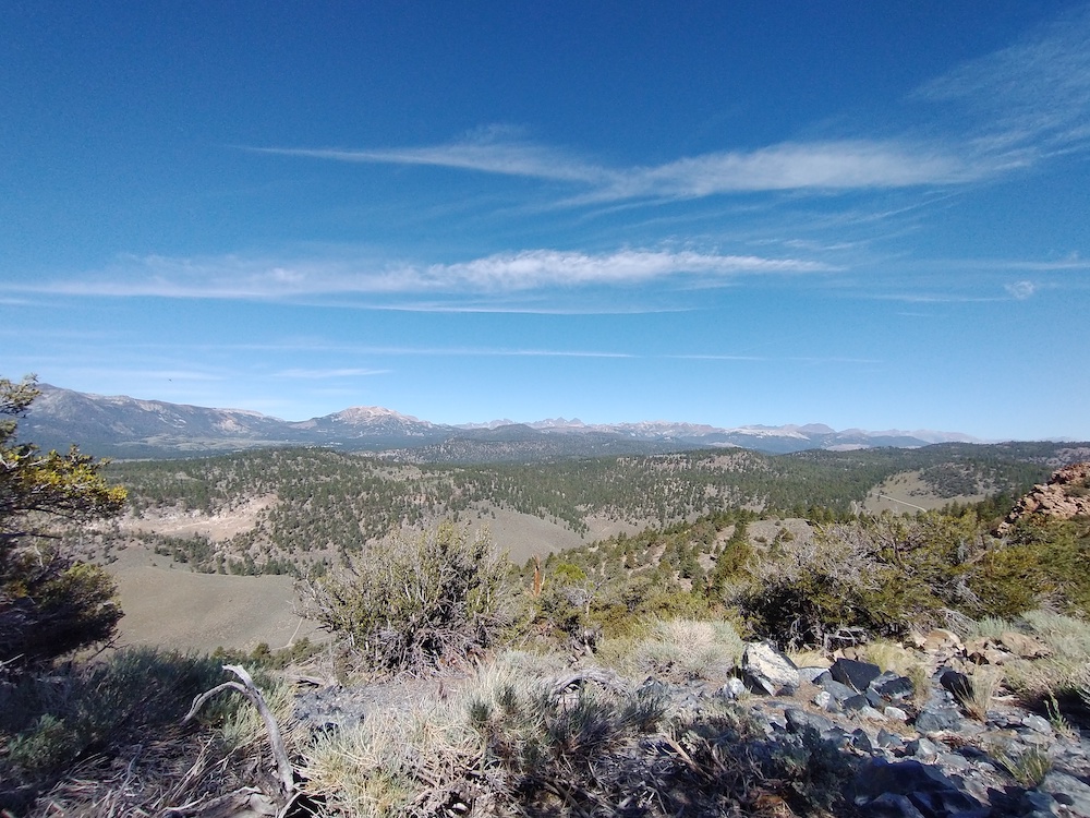
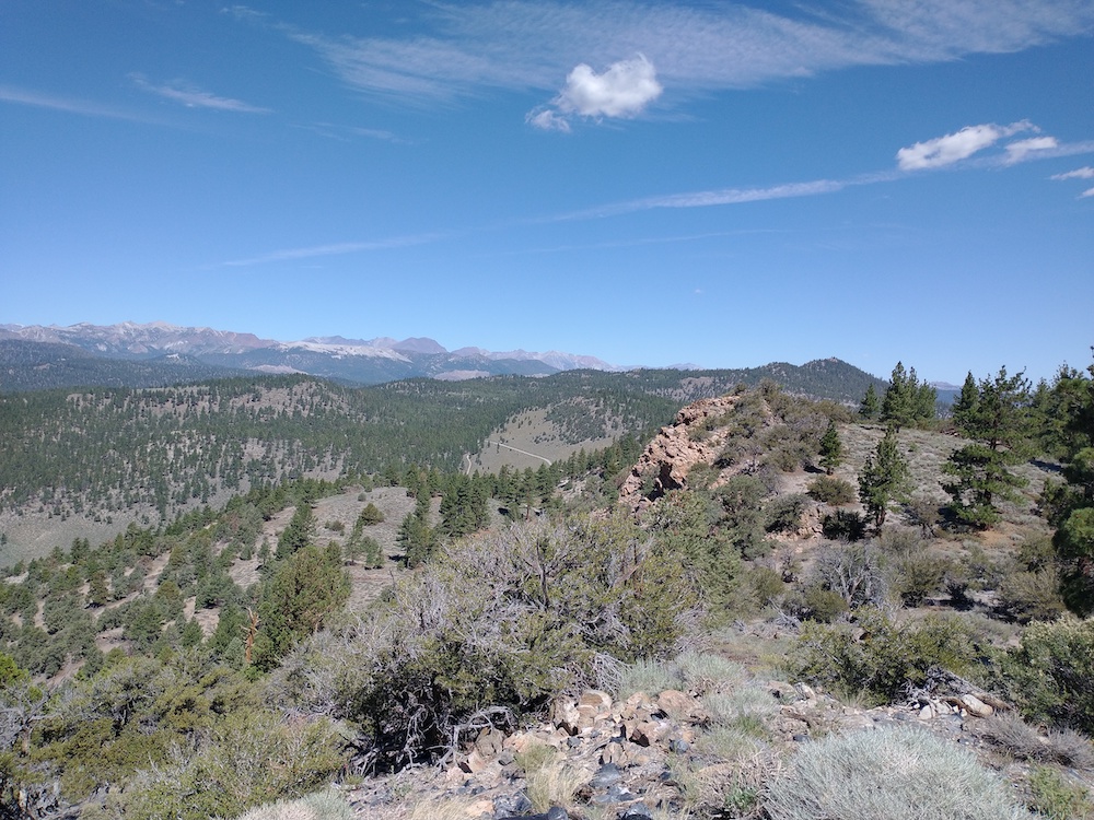
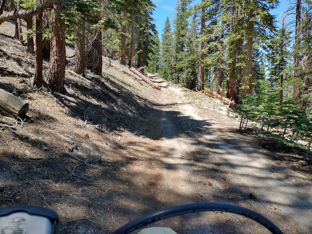
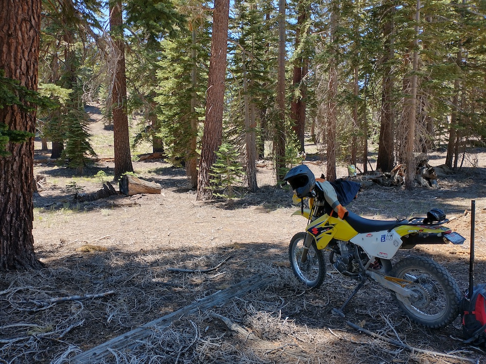
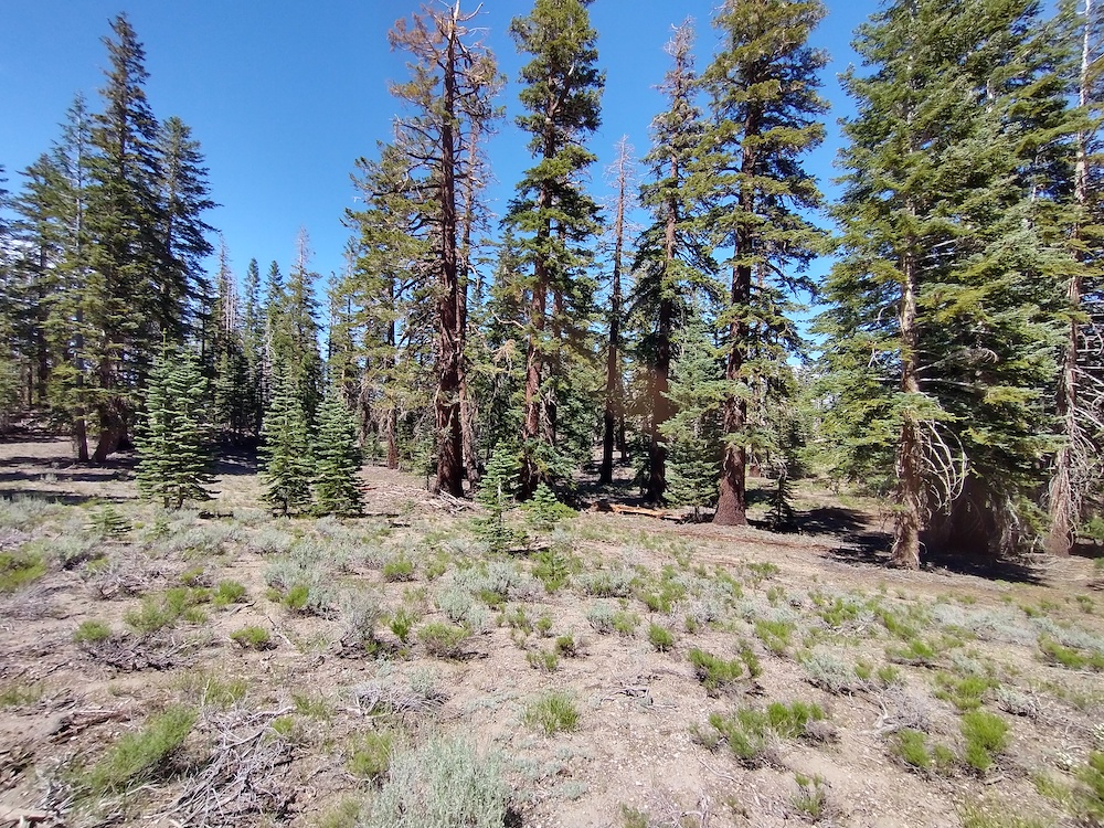
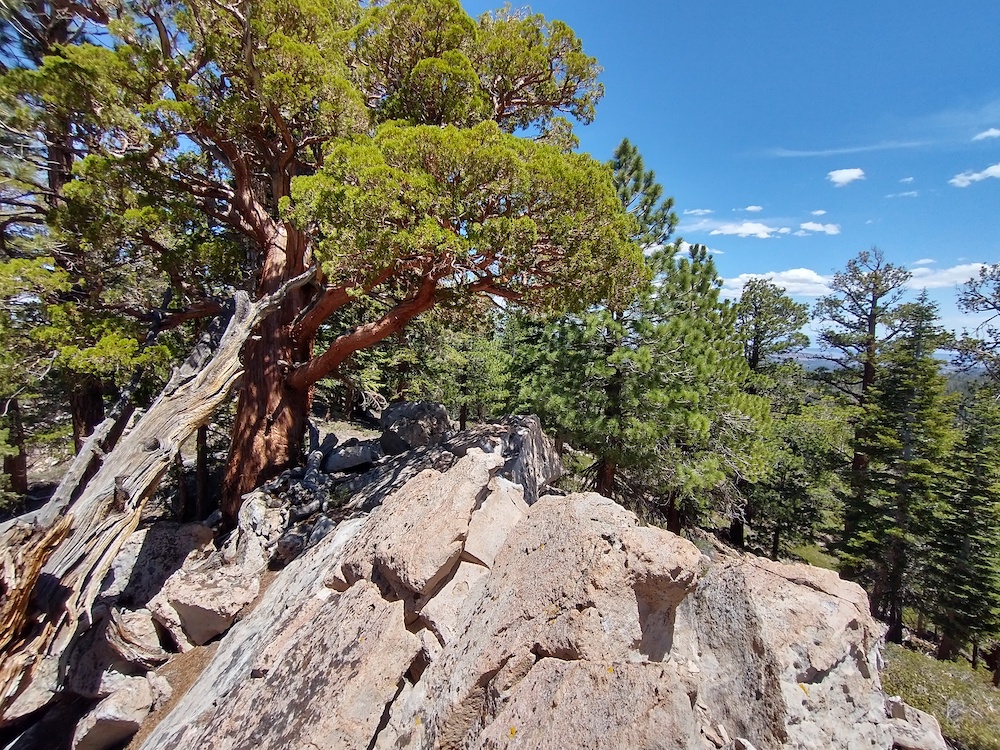
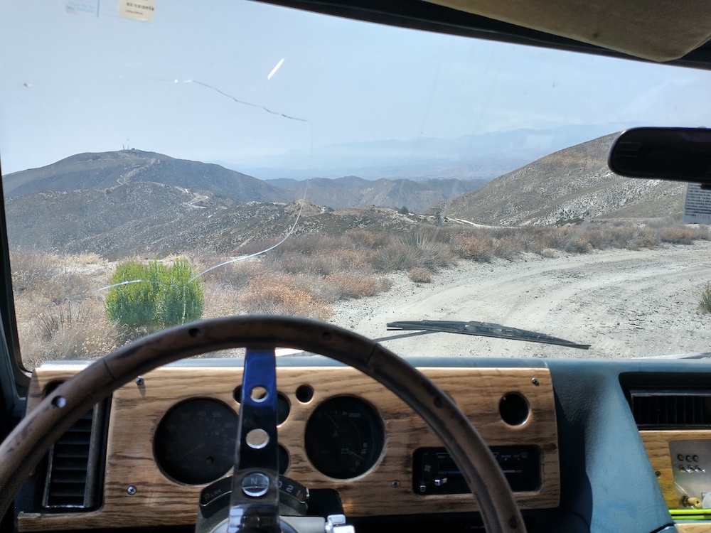
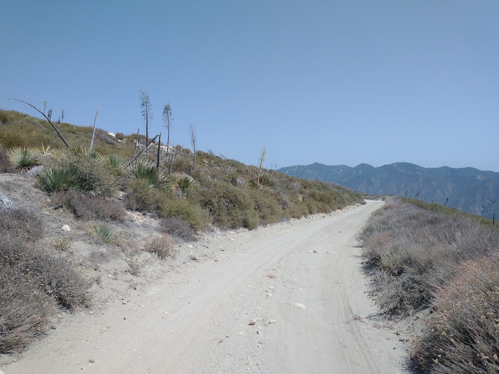
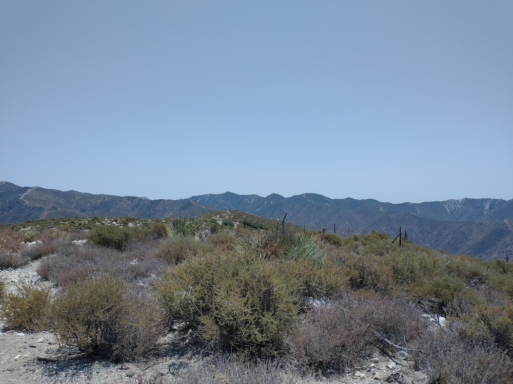
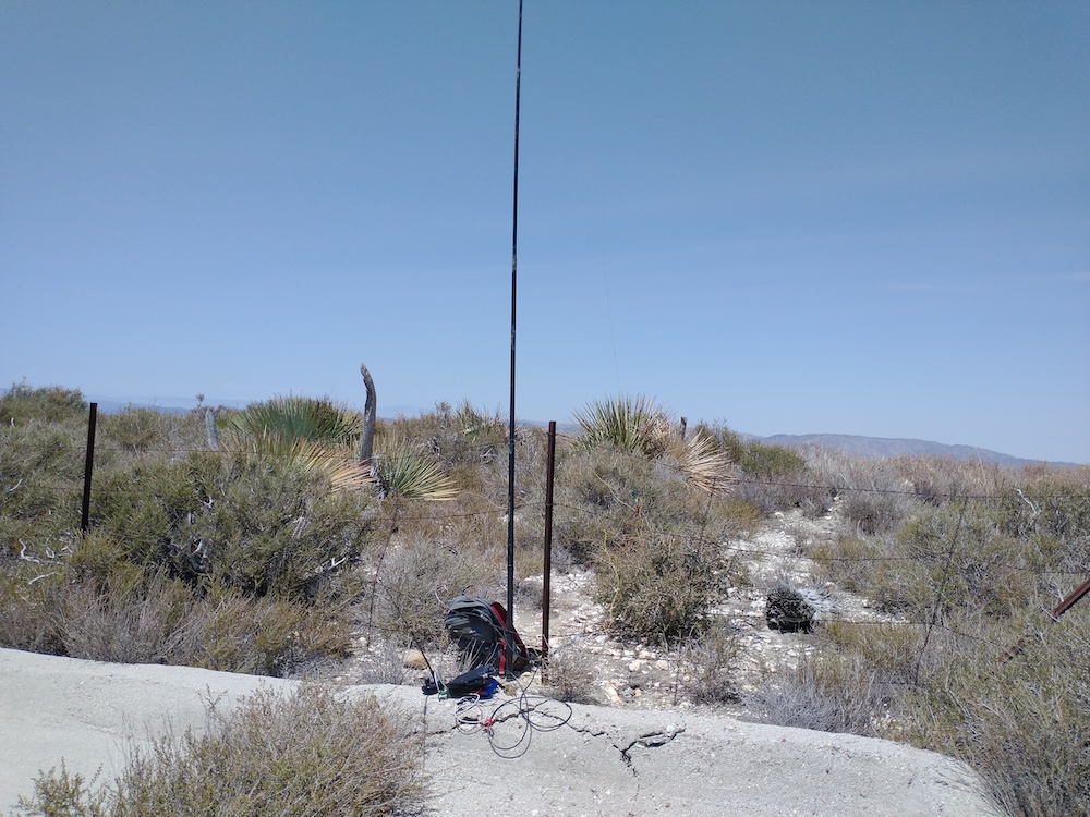
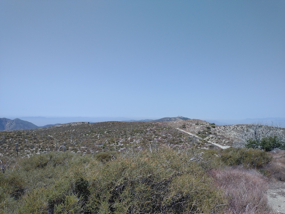
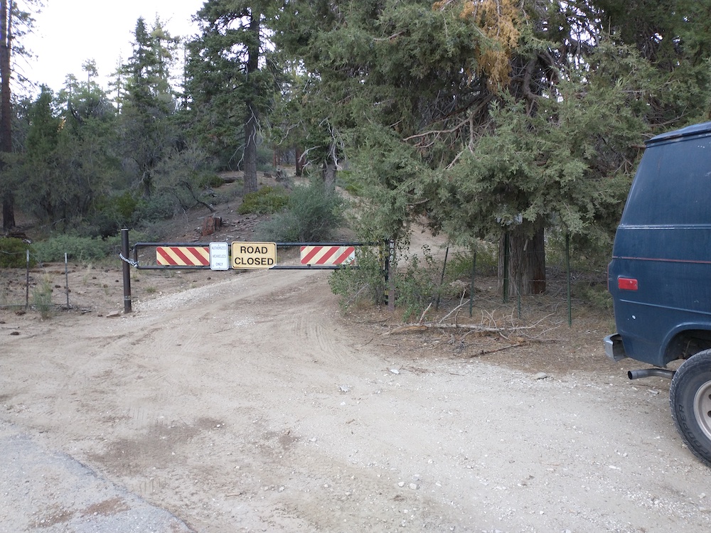
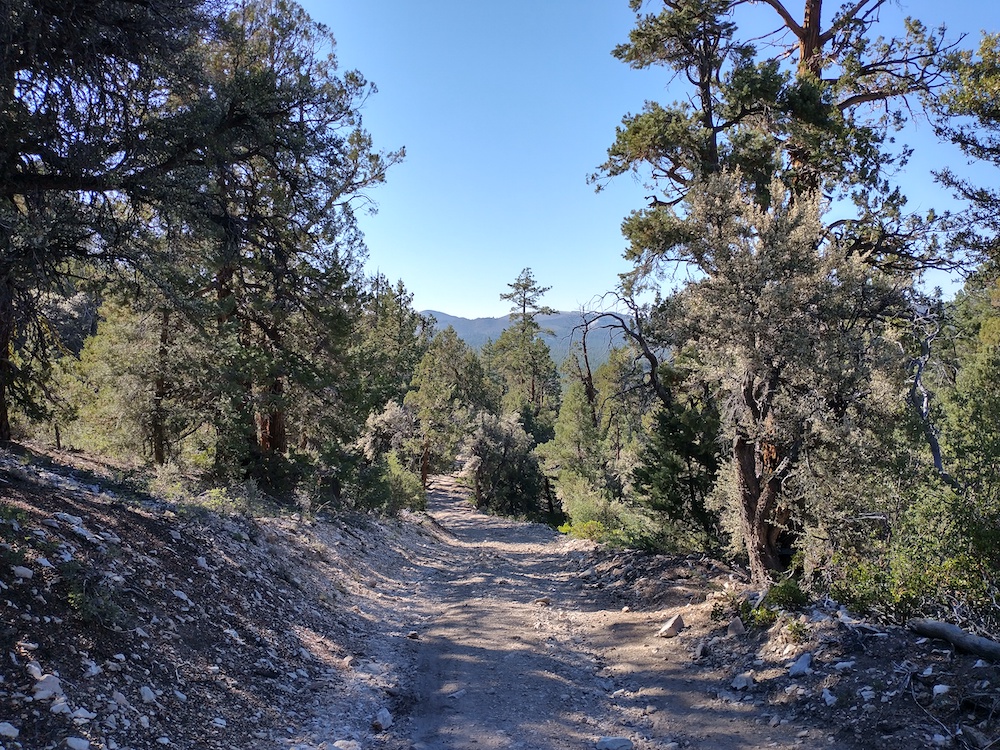
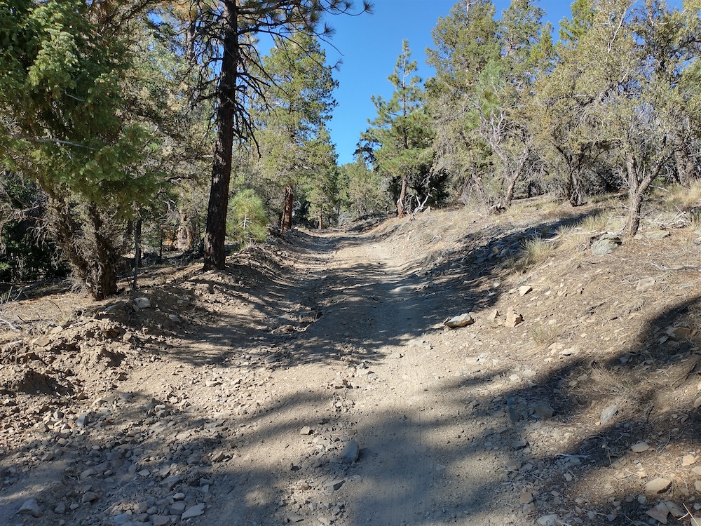
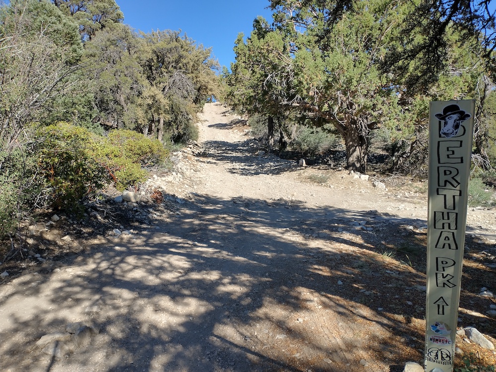
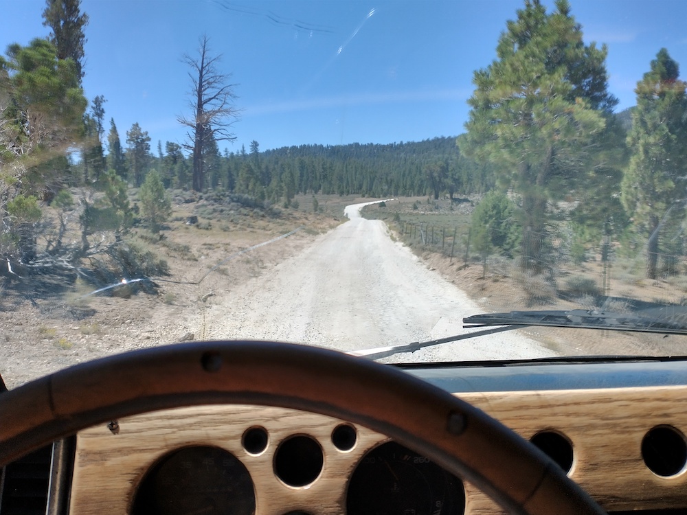
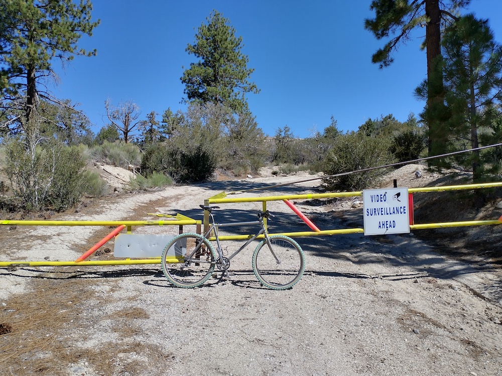
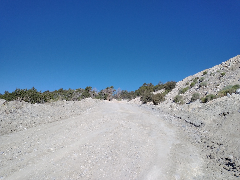
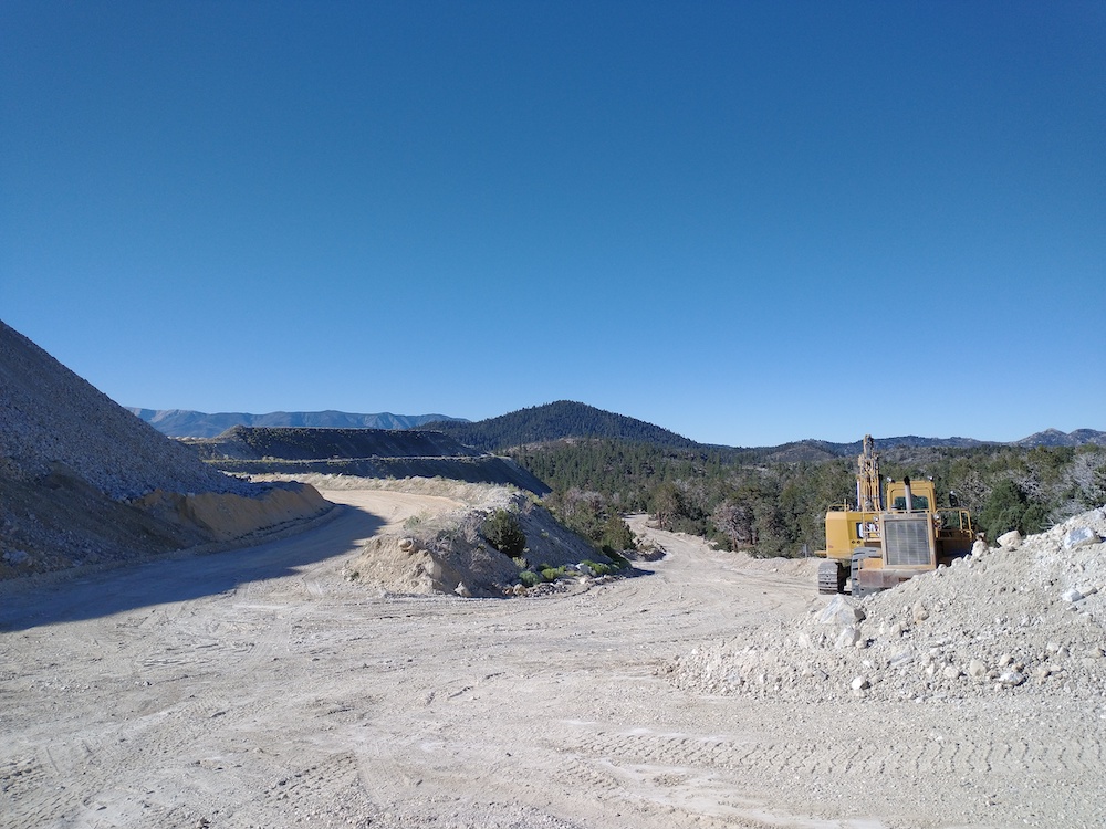
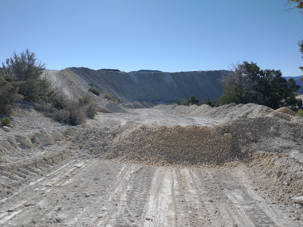
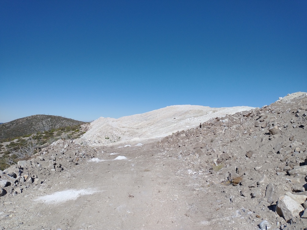
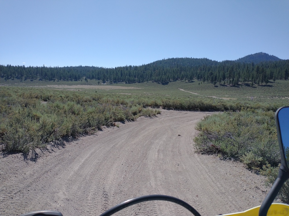
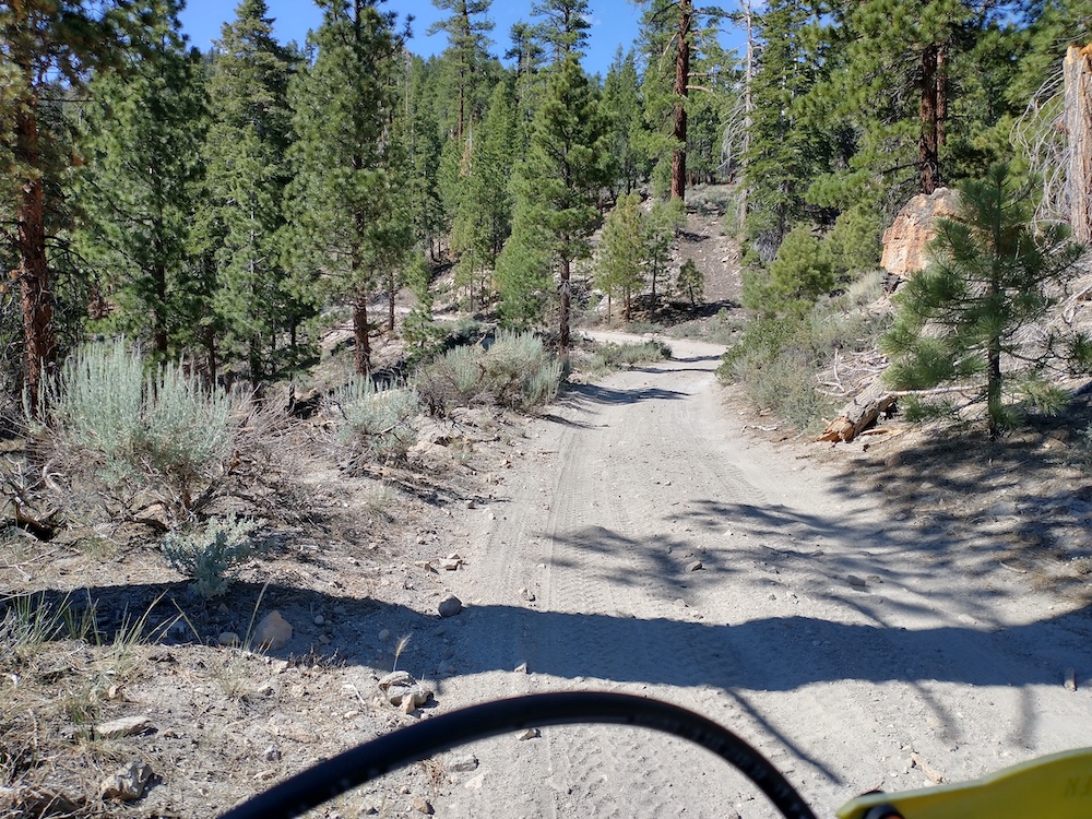
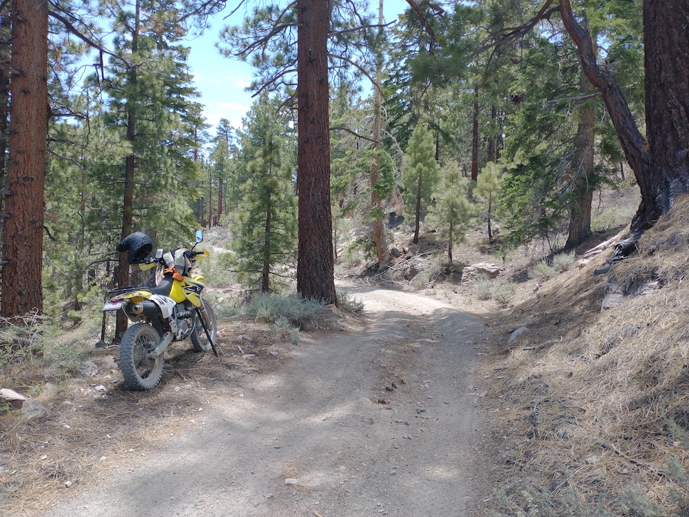
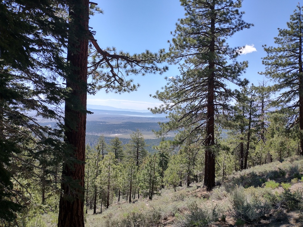
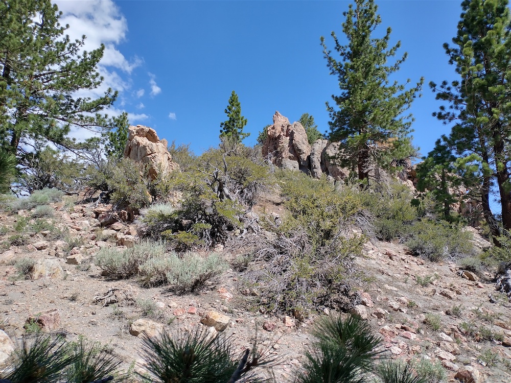
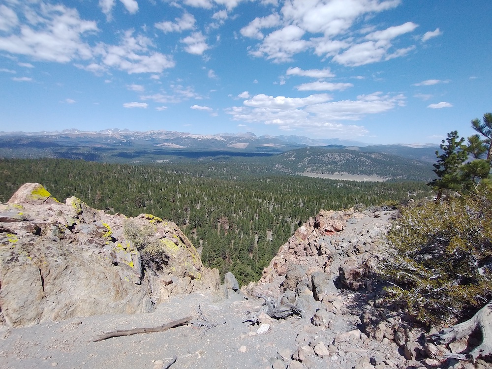
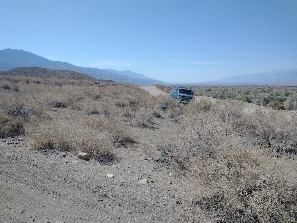
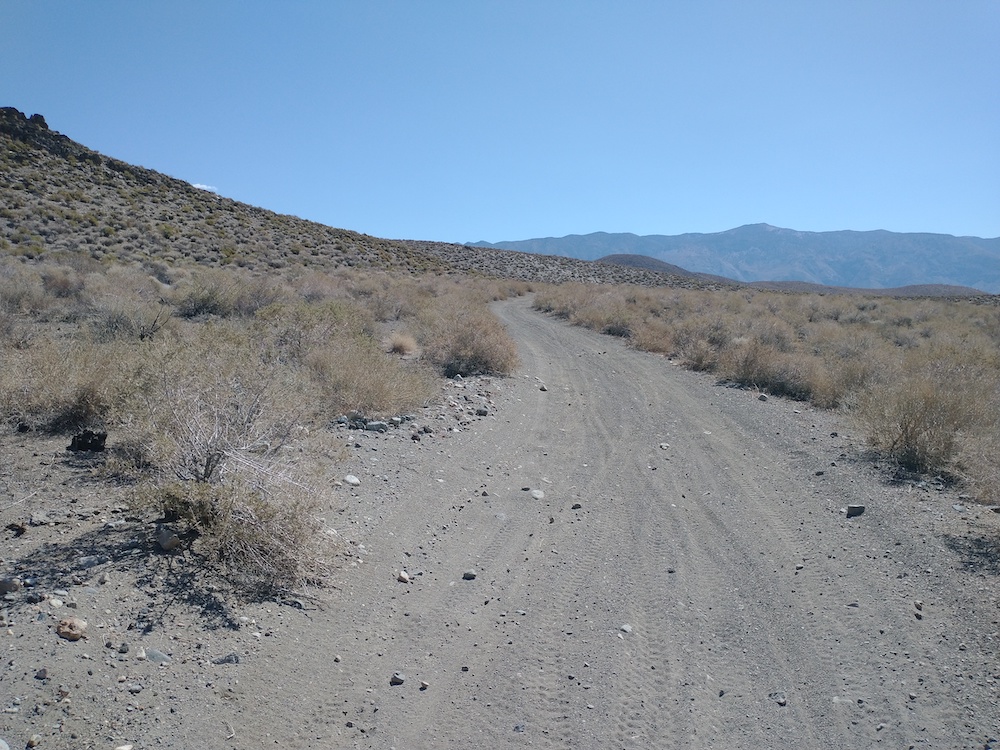
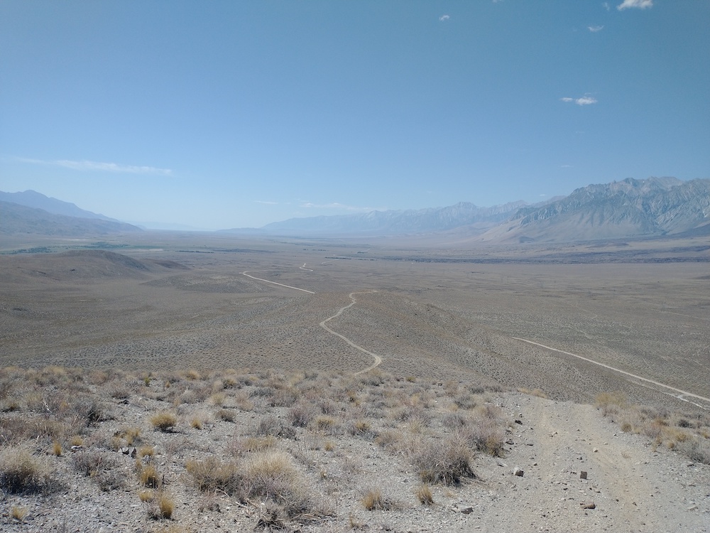
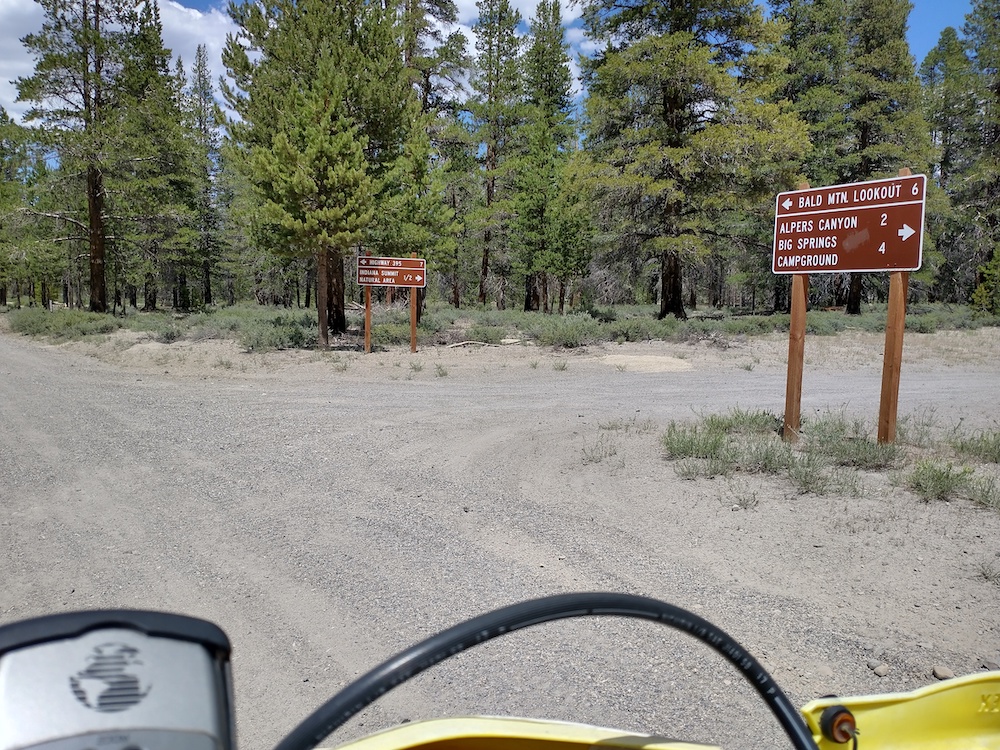
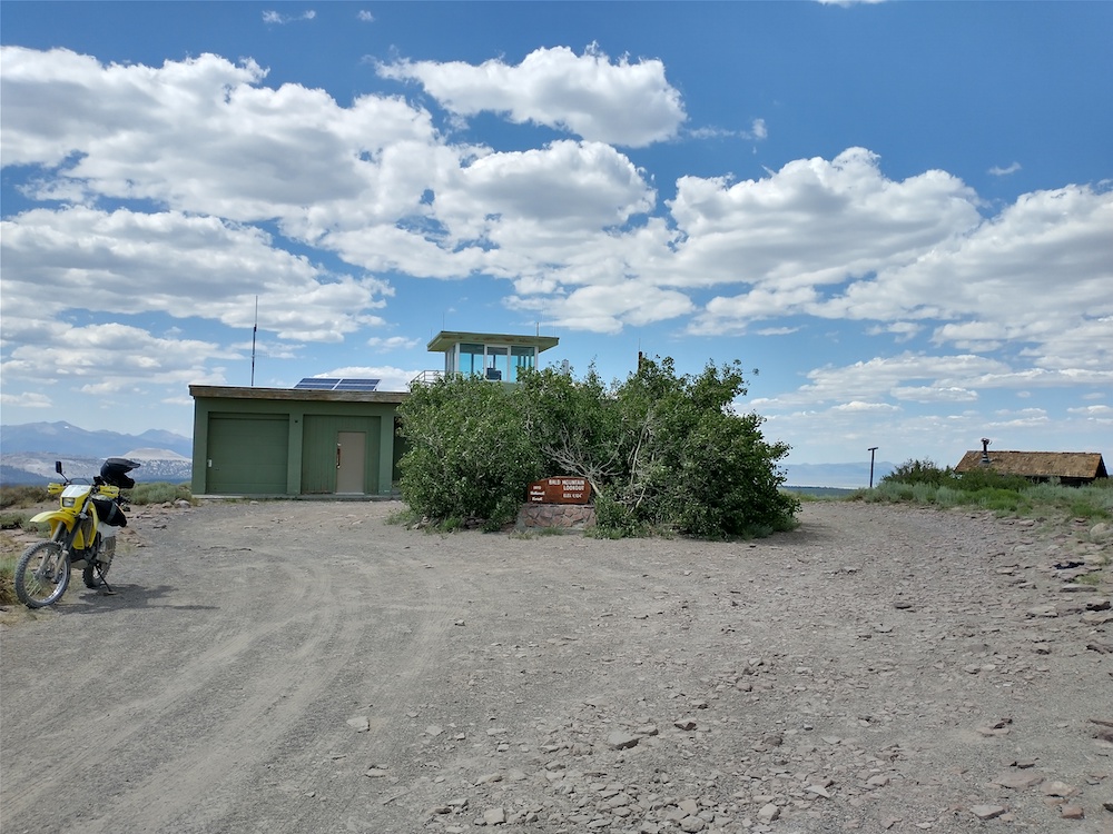
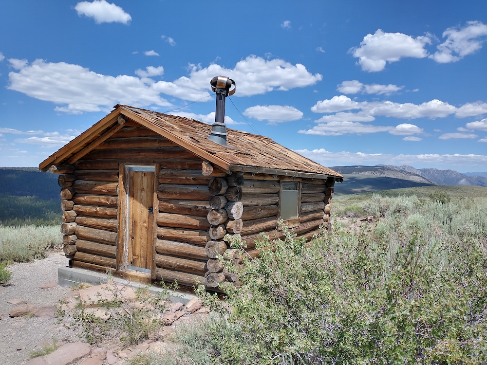
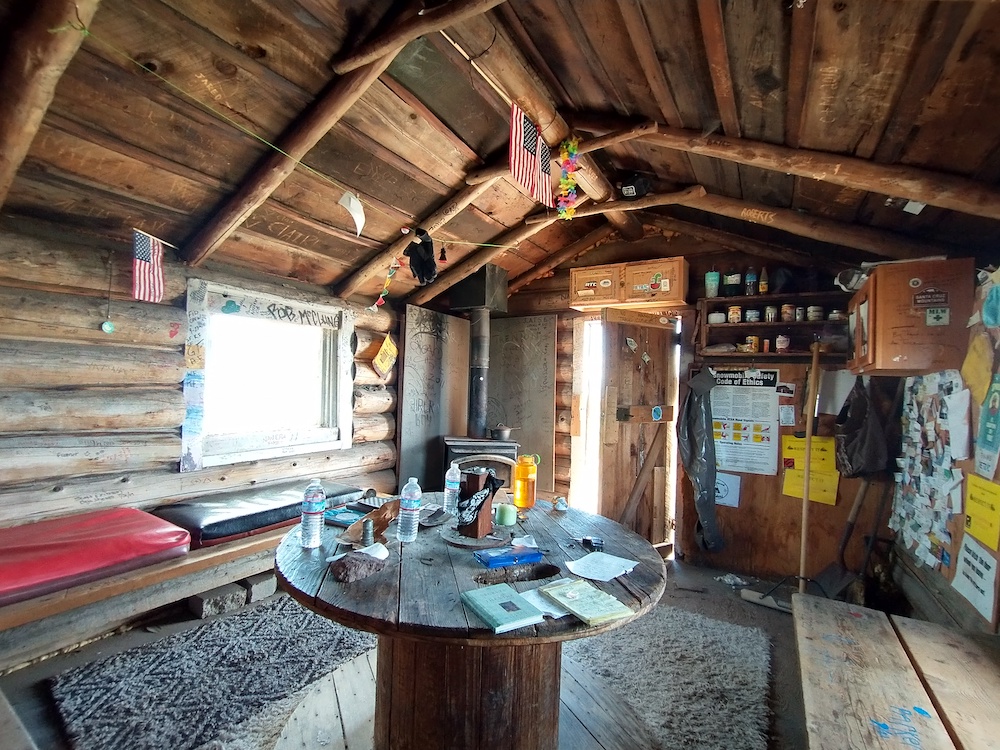
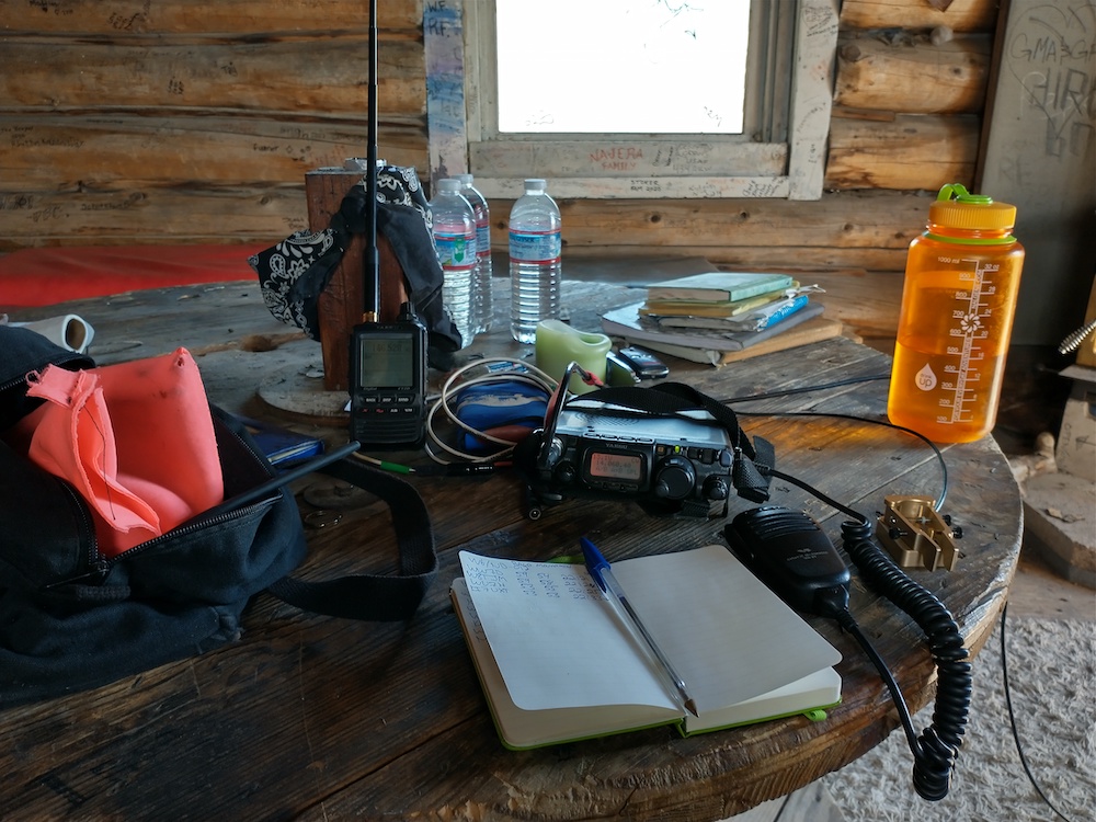
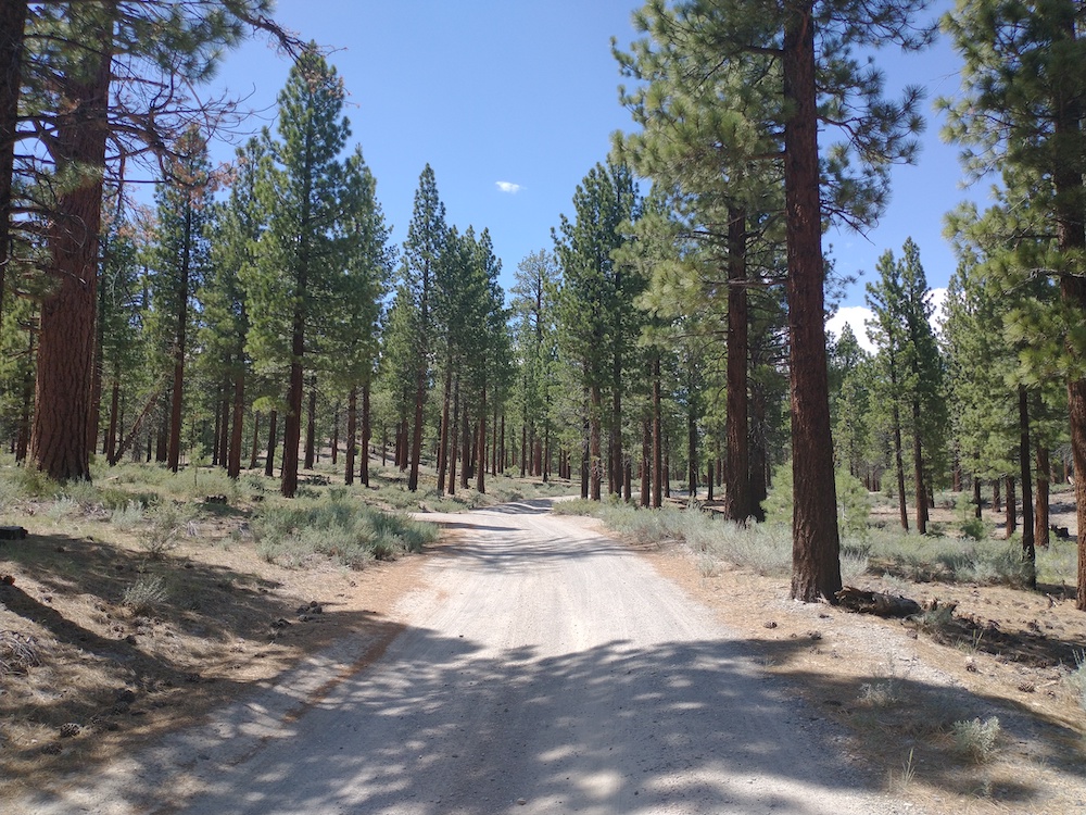
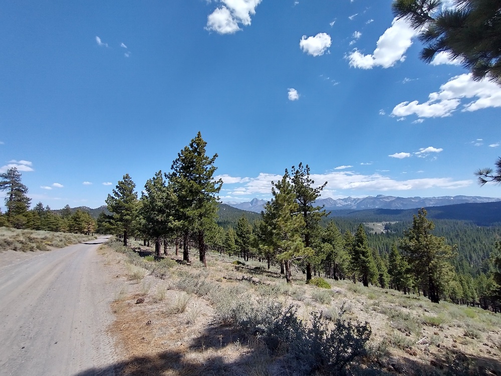
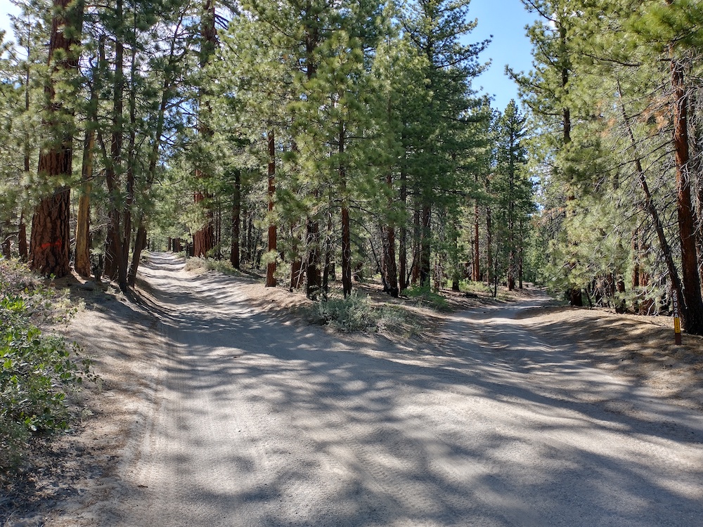
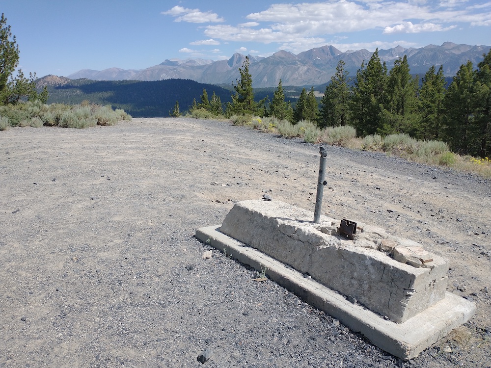
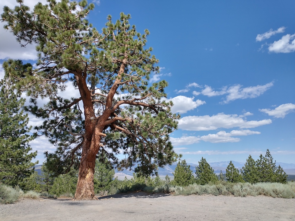
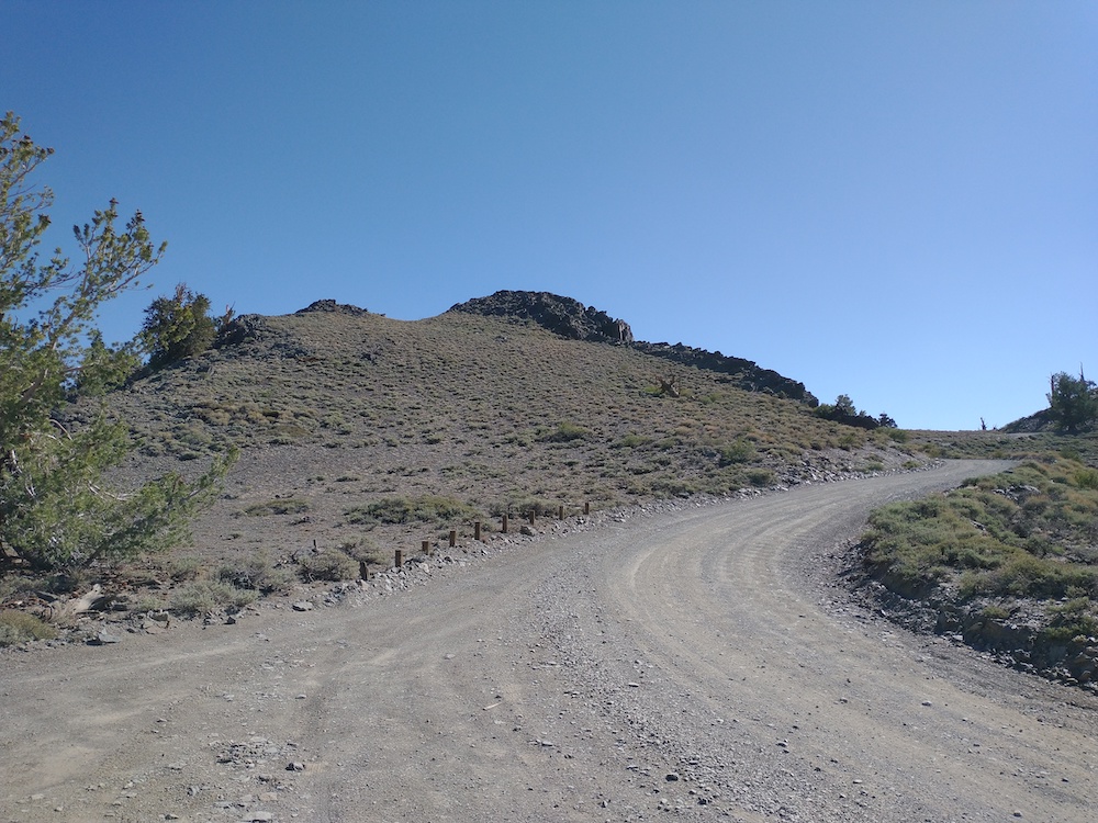
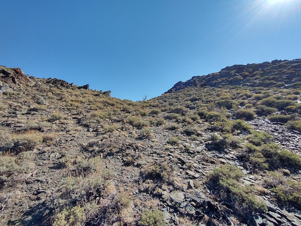
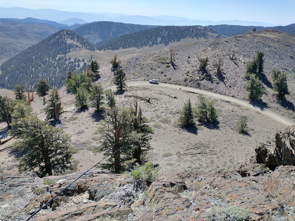
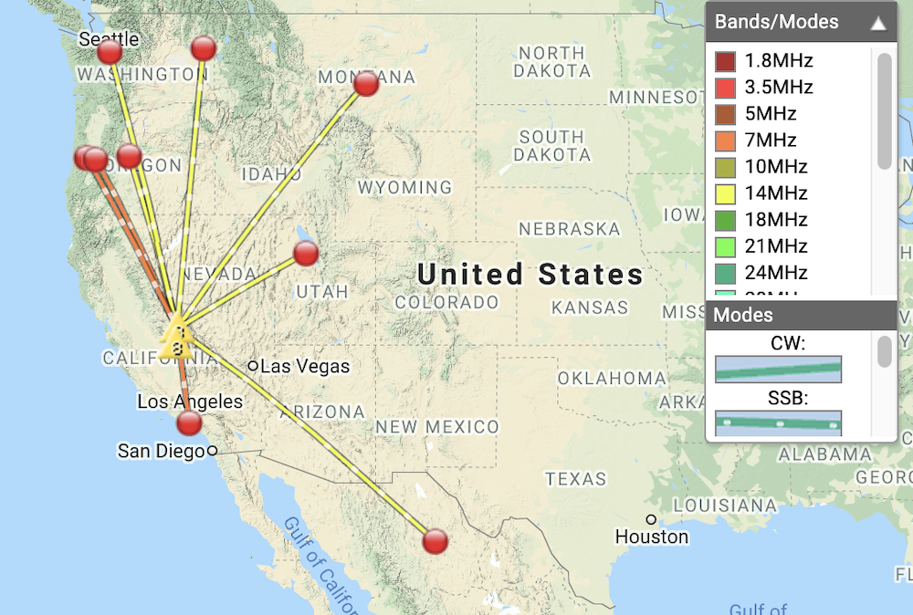
This summit is just outside of Mammoth Lakes and worth the journey if you’re in the area. I started out from my campsite off Owens River Road, and meandered through various forest roads on the moto to get as close to 8126 as I could. There are quite a bit of small spur trails in this area and my GPS isn’t granular enough to navigate the correct intersections, which meant, I needed to travel down a spur a few 100 feet before the GPS would indicate which road I was actually on. Often times, I was wrong and had to turn around. Eventually, I got as close to the summit as I could. A large tree blocked a road which goes to the top. I stopped here and hiked the rest of the way up a short, but steep, rocky and rutted path. At the top, there was little shade, and it was hot. Worked 20m and 40m SSB, and had a S2S with N6MKW on 2m, who found and returned an antenna I lost on Mt. Pacifico in the San Gabriels. Thanks again!
https://sotl.as/summits/W6/ND-041
Max elevation: 8166 ft
Total climbing: 396 ft
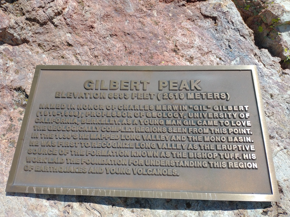
Date:07/07/2021 | Summit:W6/ND-041 (8126)
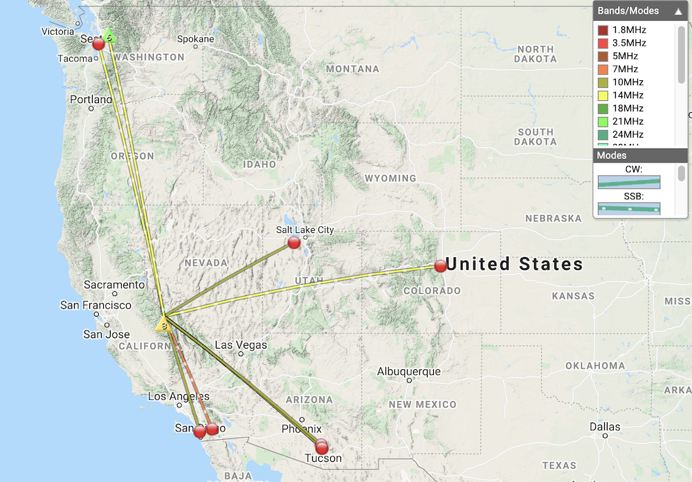
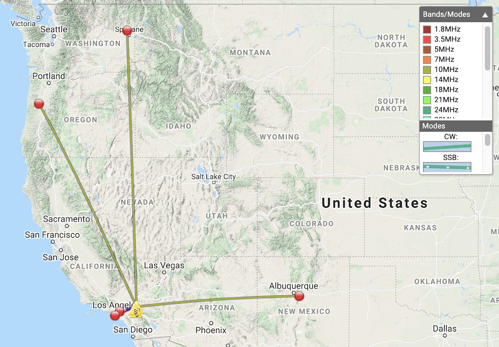
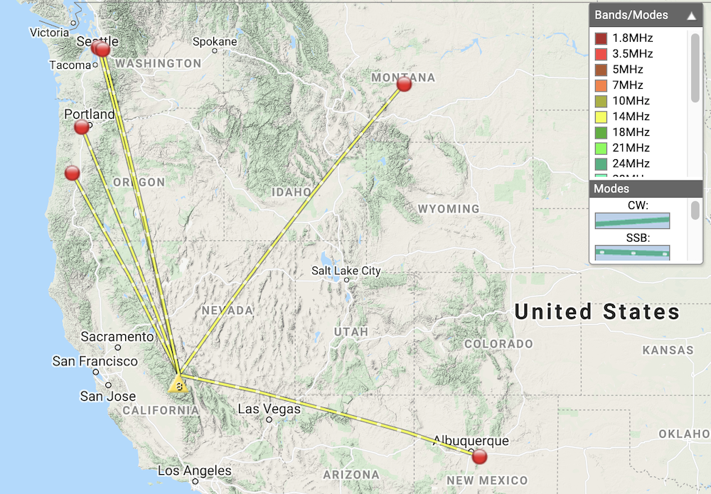
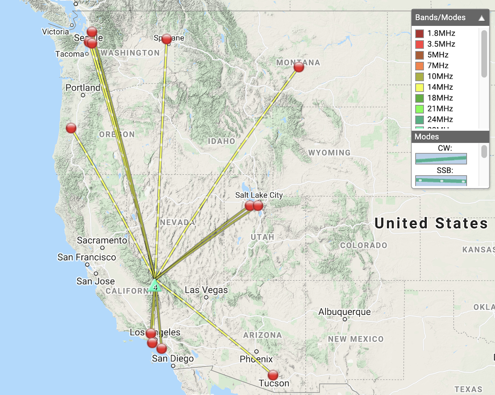
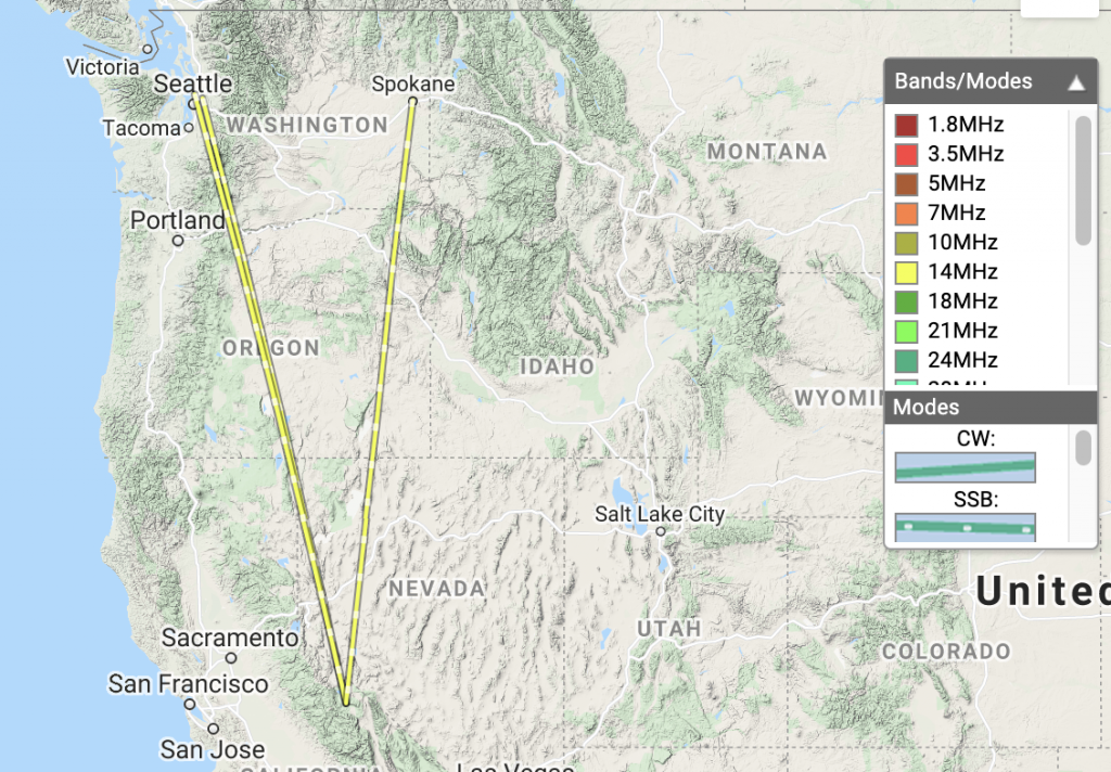
| Time | Callsign | Band | Mode | Notes |
|---|---|---|---|---|
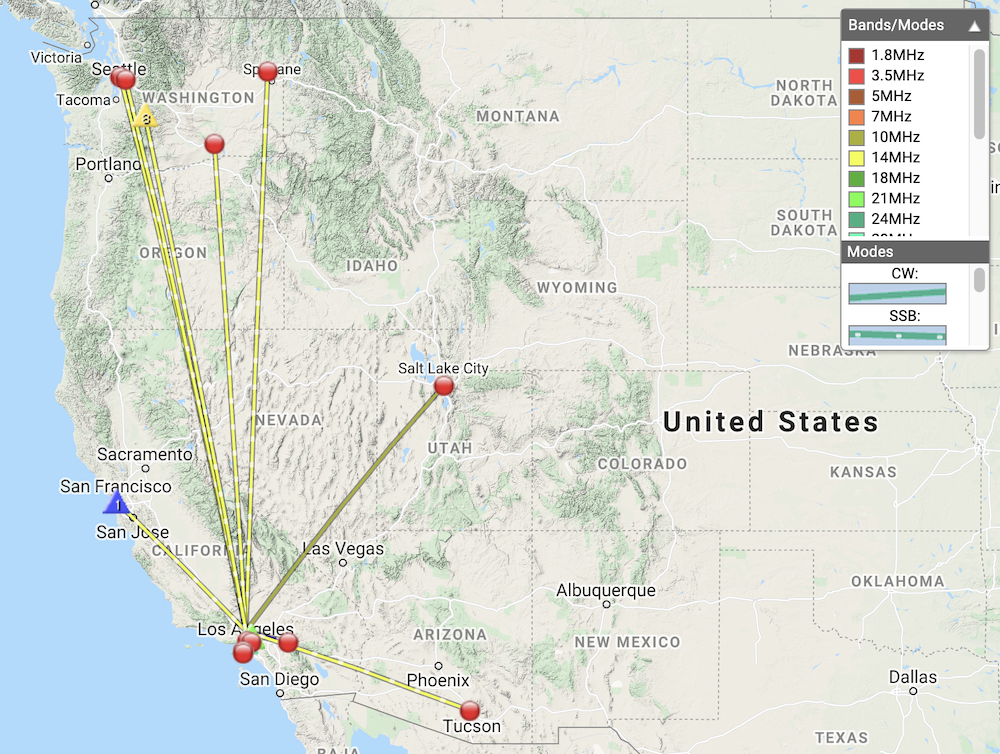
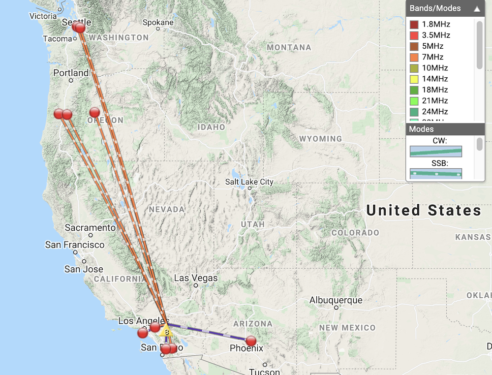
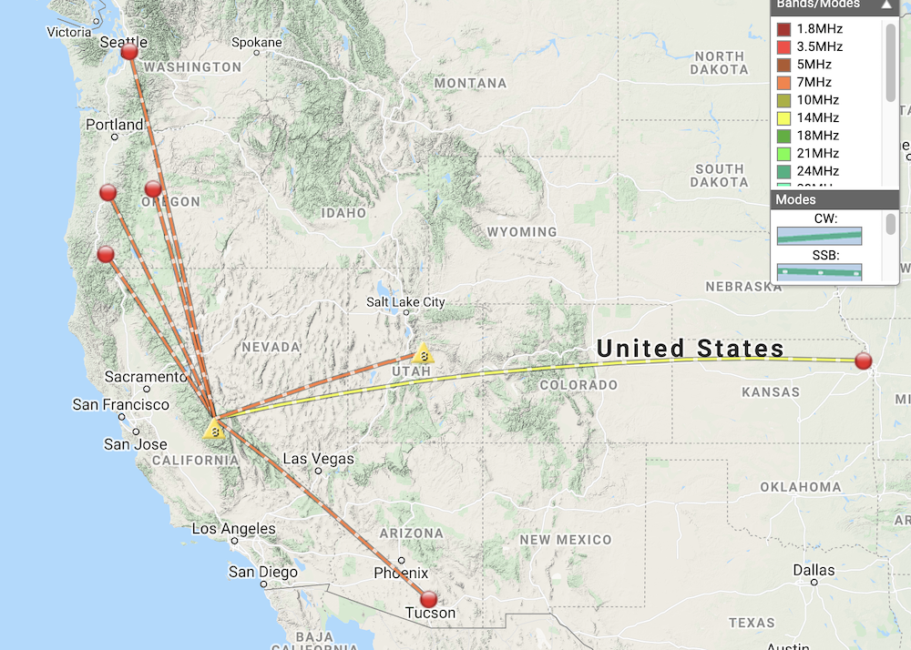
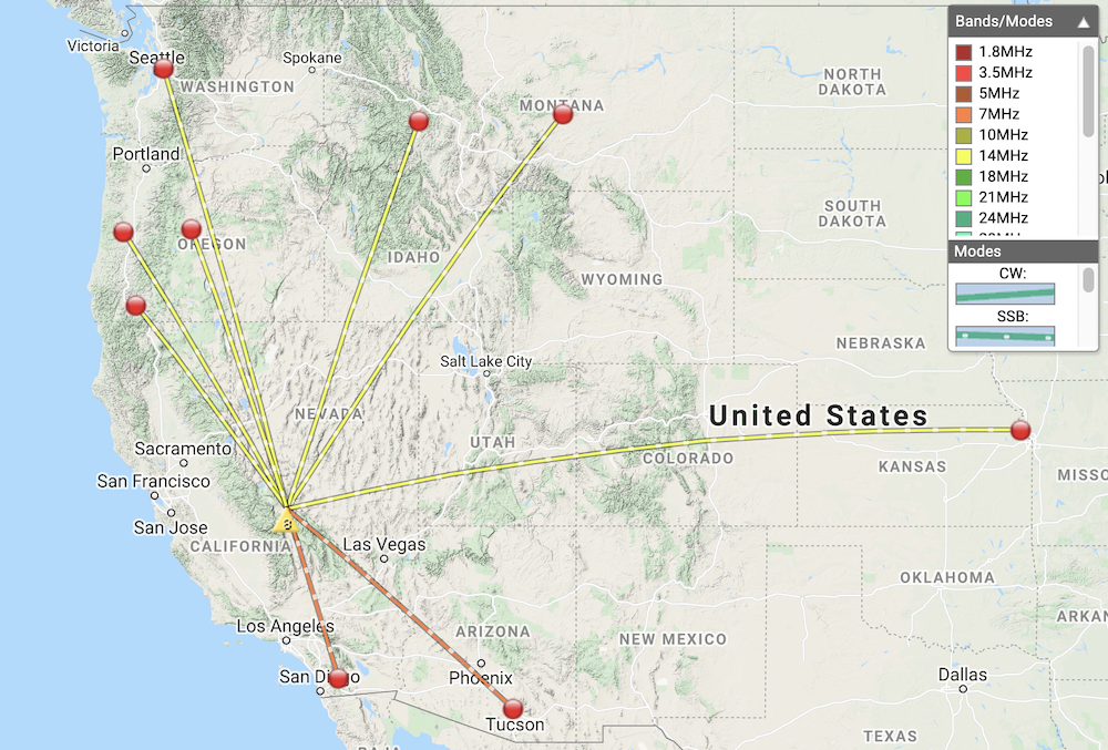
| 16:41 | NW7E | 14MHz | SSB | S55 R53 |
| 16:42 | N0WAE | 14MHz | SSB | S55 R45 |
| 16:43 | N7BHP | 14MHz | SSB | S54 R43 |
| 16:43 | K6MW | 14MHz | SSB | S58 R55 |
| 16:47 | WU7H | 14MHz | SSB | S57 R55 |
| 16:51 | WY7N | 14MHz | SSB | S33 R55 |
| 17:02 | N6MKW | 144MHz | FM | S59 R59 S2S W6/ND-026 |
| 17:07 | W6TDX | 7MHz | SSB | S33 R33 |
| 17:09 | NS7P | 7MHz | SSB | S45 R45 |
| 17:12 | K6LDQ | 7MHz | SSB | S45 R33 |