W6/ND-037 – Lookout Mountain

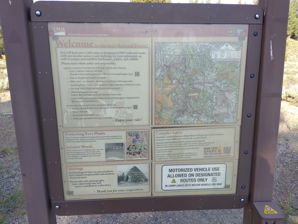
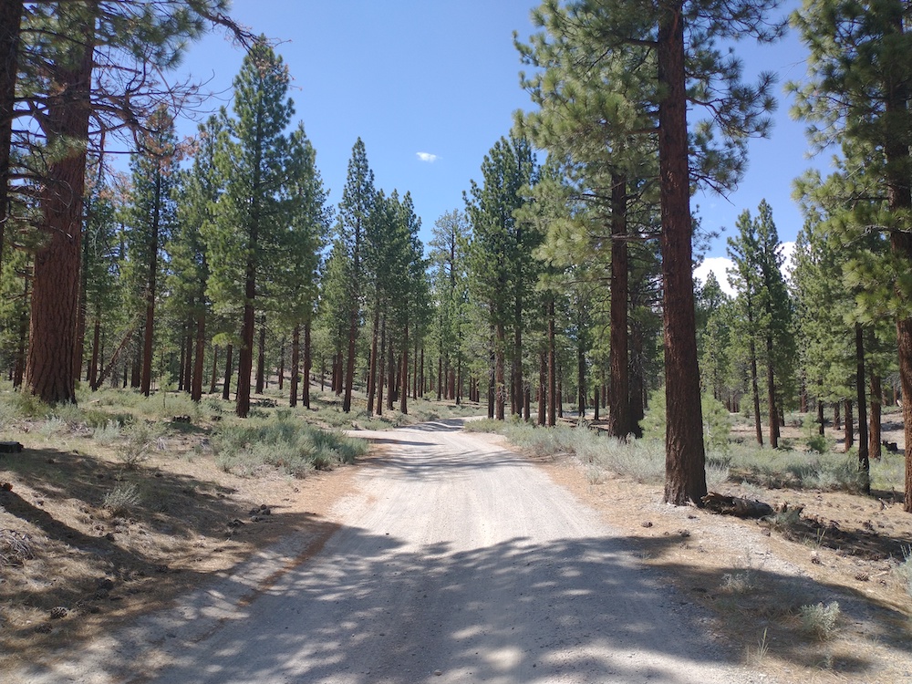
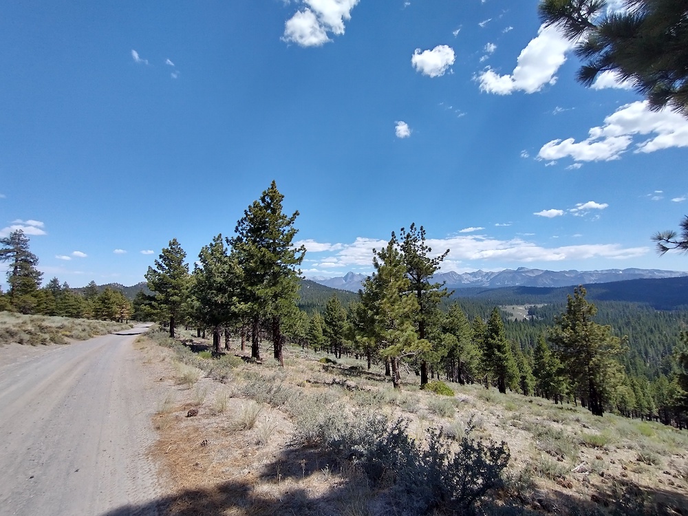
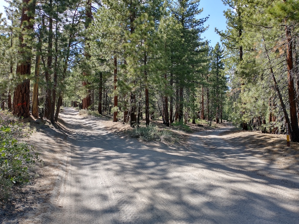
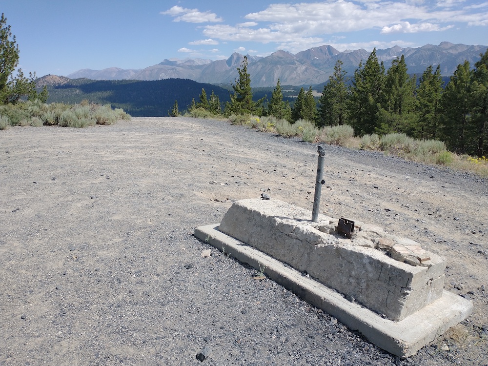
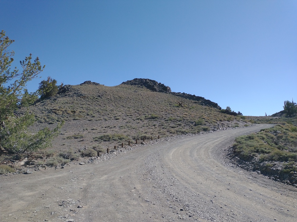
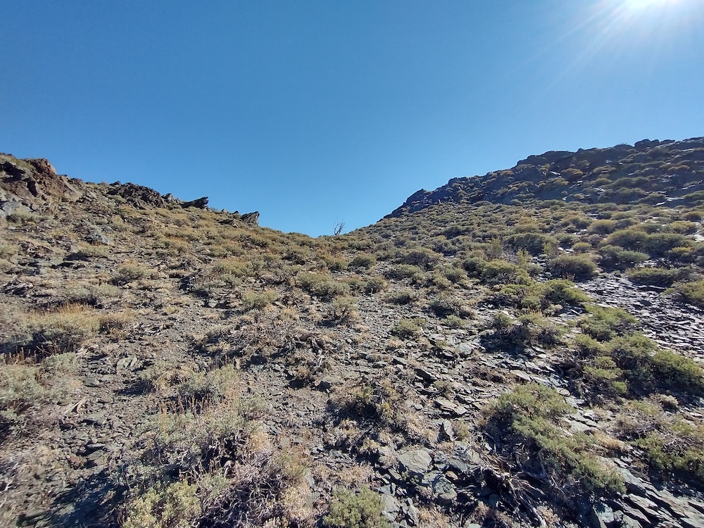
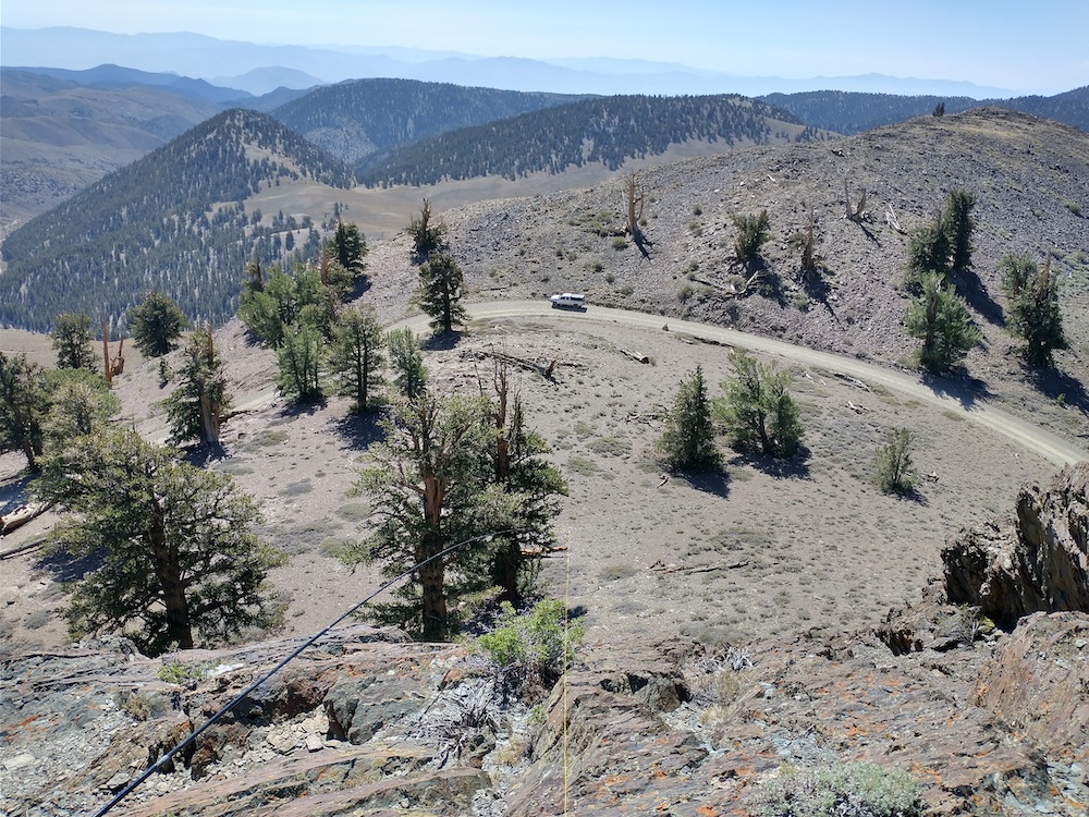
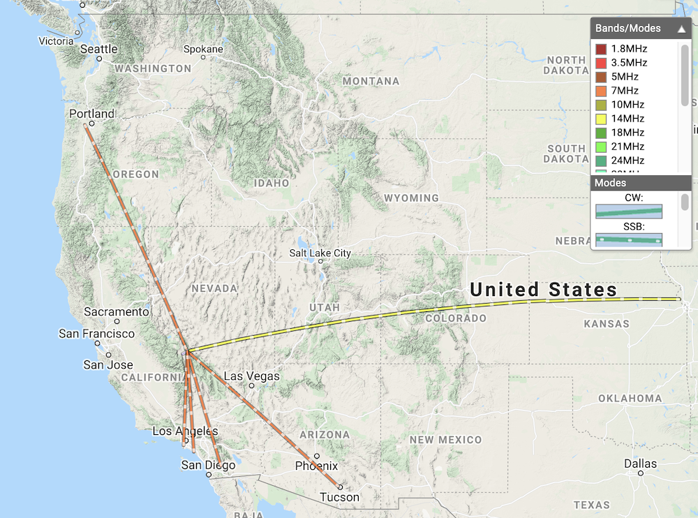
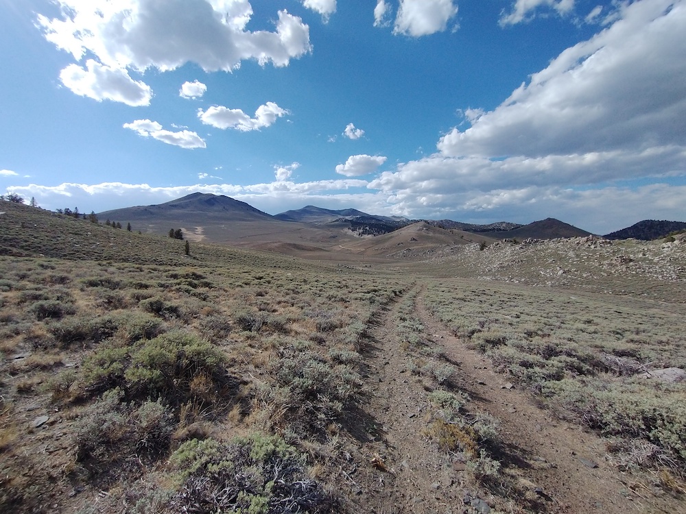
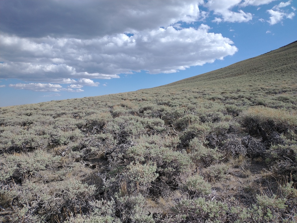
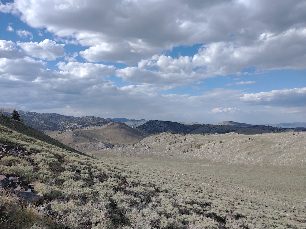
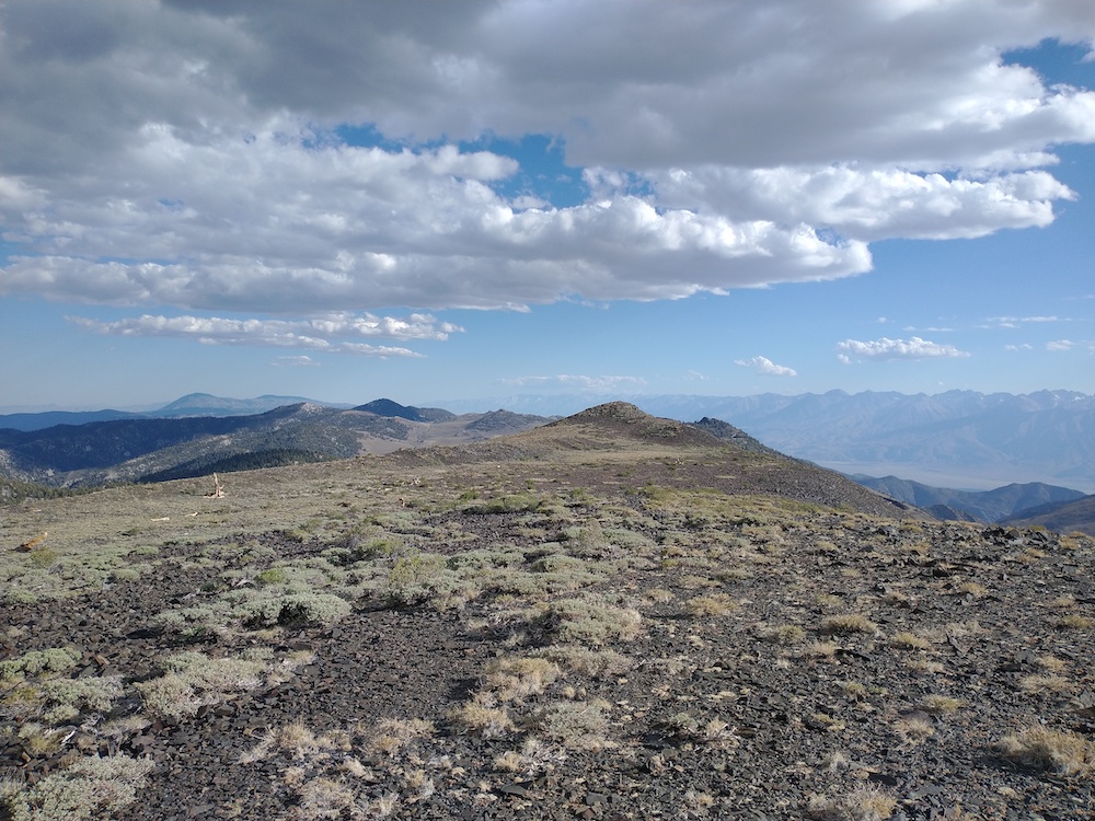
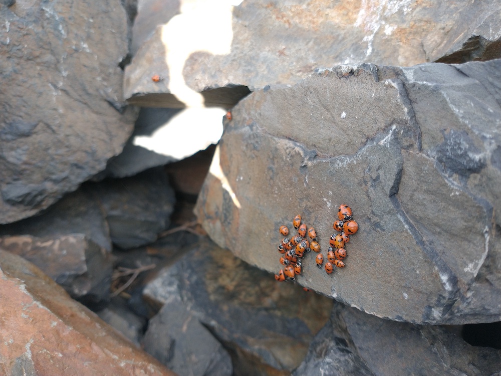
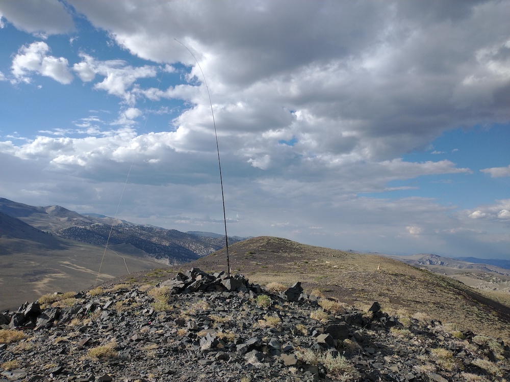
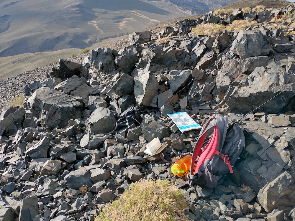
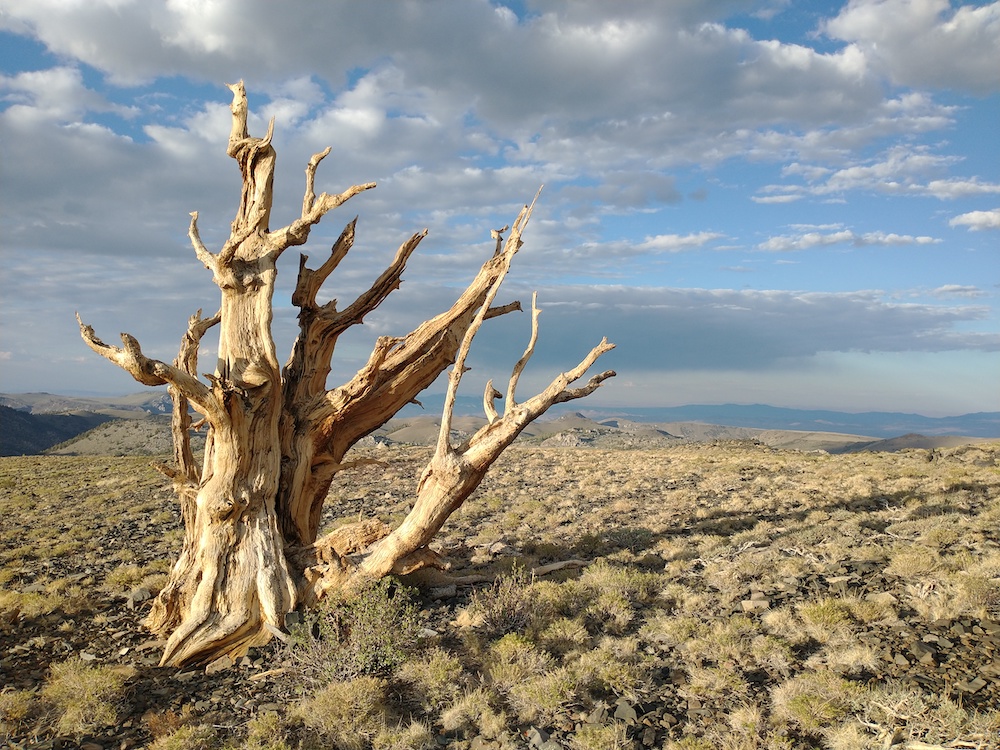
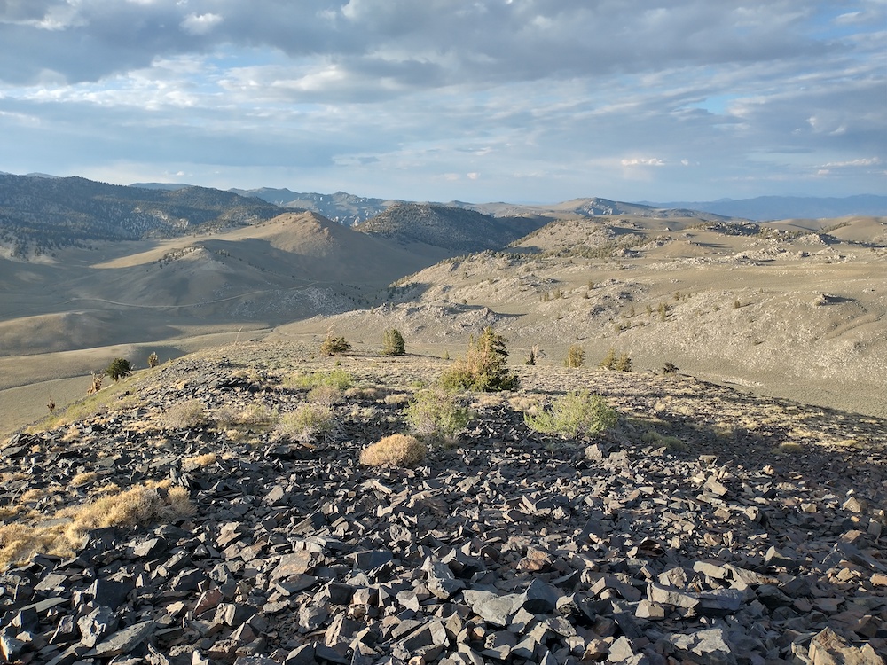
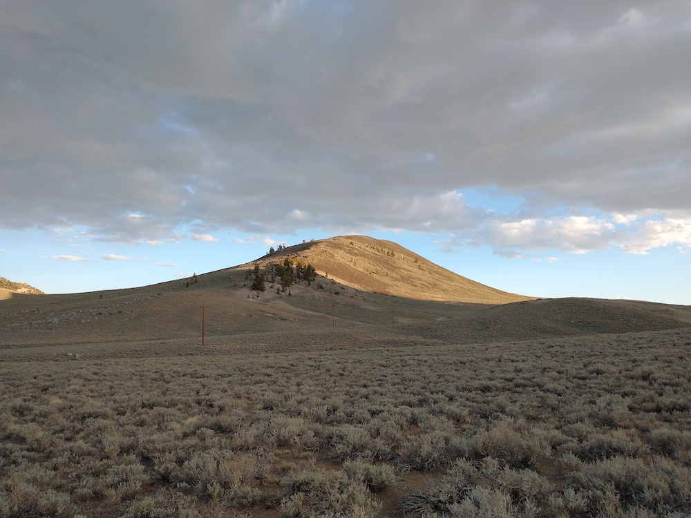
This is a drive up, but you may need 4-wheel drive for the last bit through sharp obsidian, which is everywhere in this area. I hiked up from a parking area off highway 395, 6 miles round trip through a beautiful forest. Worked 20M, 40M SSB with one S2S in Utah.

https://sotl.as/summits/W6/ND-037

Total distance: 6.05 mi
Max elevation: 8364 ft
Total climbing: 1603 ft
Total time: 03:37:23
Download file: Lookout Mountain.GPX

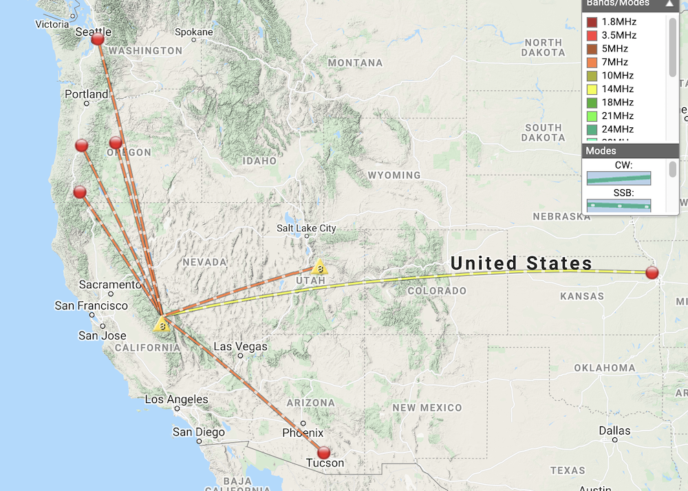
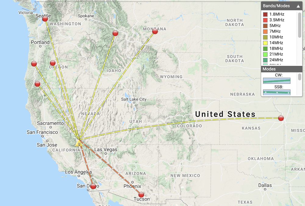
Date:05/07/2021 | Summit:W6/ND-037 (Lookout Mountain)

TimeCallsignBandModeNotes
23:02W0MNA14MHzSSBS59 R56
23:08K7GT7MHzSSBS59 R55
23:11W6TDX7MHzSSBS45 R45
23:18WW7D7MHzSSBS33 R33
23:18K6HPX7MHzSSBS59 R41
23:21WY7N7MHzSSBS42 R11 S2S W7U/SP-008
23:45NW7E7MHzSSBS59 R52
A welcome sign at the parking area.
This is just past a paved parking area off 395
Typical views
Stretches of no shade, it was hot!
Not sure what this was?
I setup under this tree.

W6/WH-008 – 10940

If you’re in the area, this is a very easy summit to activate, it’s right off White Mountain Road, and a short, 5 minute (if that) hike up from a small parking area. Activation zone is pretty small, so I’m not sure one could stretch out a dipole. Worked KM6QCE on 2M FM, who then drove by to say hello! Also worked 20M, 40M SSB.

https://sotl.as/summits/W6/WH-008

Total distance: 0.3 mi
Max elevation: 10960 ft
Total climbing: 216 ft
Total time: 01:18:44
Download file: 10940.GPX

Date:05/07/2021 | Summit:W6/WH-008 (10940)

TimeCallsignBandModeNotes
16:03KM6QCE144MHzFMS55 R55
16:20N0WAE14MHzSSBS56 R55
16:21NS7P14MHzSSBS57 R56
16:21KR7Q14MHzSSBS59 R53
16:22WW7D14MHzSSBS48 R55
16:22K7GT14MHzSSBS59 R57
16:23NW7E14MHzSSBS58 R55
16:23W0MNA14MHzSSBS57 R54
16:45K6HPX7MHzSSBS58 R51
16:47K6CWC7MHzSSBS35 R33
View of the summit
Short trek from the road to the saddle
‘QCE stopped by to say hello. Also, my mast fell over.

W6/WH-006 – County Line Hill

This summit is in the White Mountain range. I hiked an old two track road to the east side of the hill, then headed straight up to the summit through thick, knee high sage. Once on the ridge it was easy to get over to the summit. Worked 2M FM, 20M, and 40M SSB. On the way down, I took the ridge down to see if there was anything left of old prospecting mines marked on the forest service maps. I found a couple old tin cans and collapsed mine shafts.

https://sotl.as/summits/W6/WH-006

Total distance: 3.87 mi
Max elevation: 11237 ft
Total climbing: 1144 ft
Total time: 03:00:21
Download file: County Line Hill.GPX

Date:04/07/2021 | Summit:W6/WH-006 (County Line Hill)

TimeCallsignBandModeNotes
01:34KM6QCE144MHzFMS59 R59
01:35WA6IQO144MHzFMS59 R59
01:36W0MNA14MHzSSBS59 R59
01:38W0ERI14MHzSSBS59 R59
01:40AL6H14MHzSSBS54 R55
01:52K6HPX7MHzSSBS55 R51
01:53KJ7UIZ7MHzSSBS58 R56
01:54K6CWC7MHzSSBS55 R48
01:55K6LDQ7MHzSSBS55 R36
01:56KX6A7MHzSSBS55 R33
Where I parked the moto, County Line Hill in the background.
Old two track road. I followed this around to the west side of the summit.
Knee deep bushwhacking
At the top
Lady bugs hiding under rocks.
At the summit with my vertical.