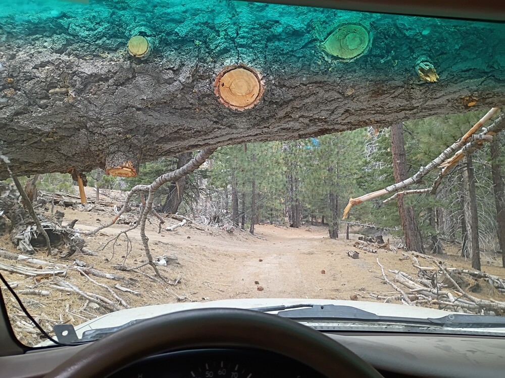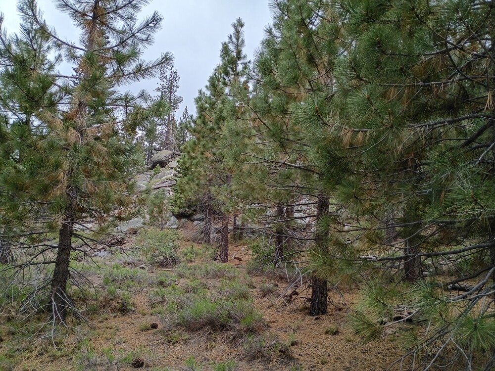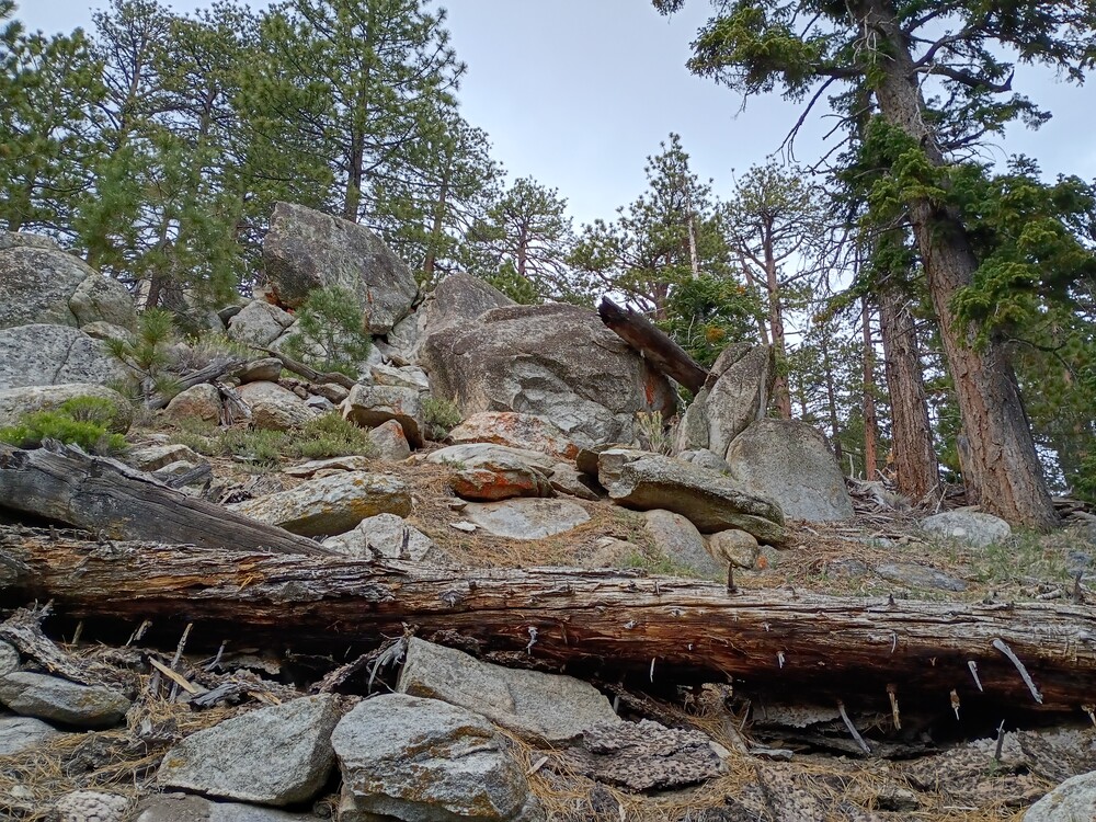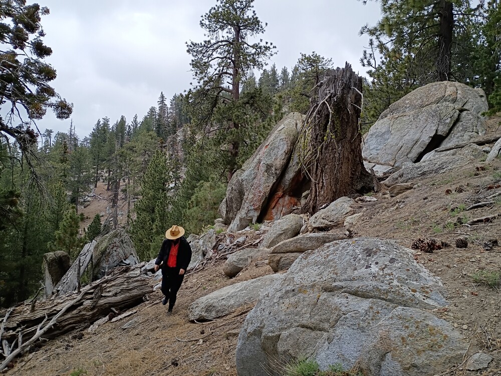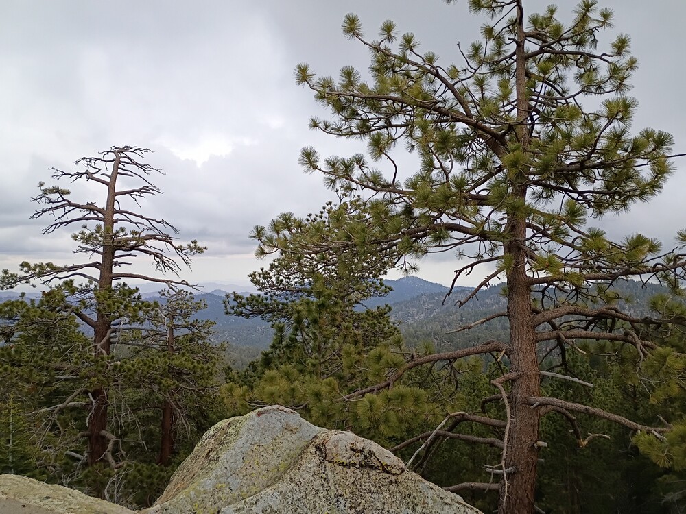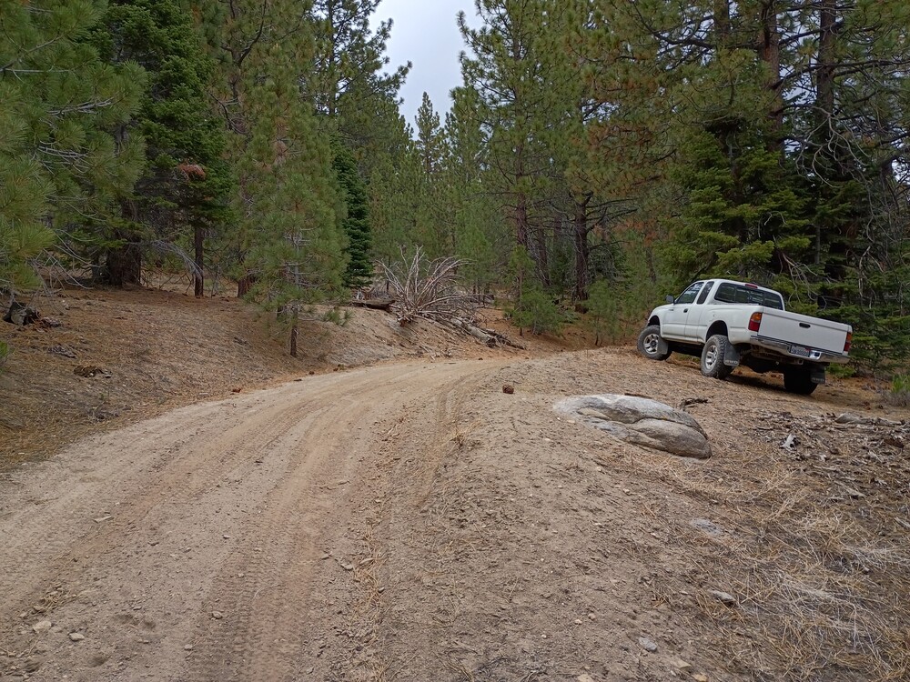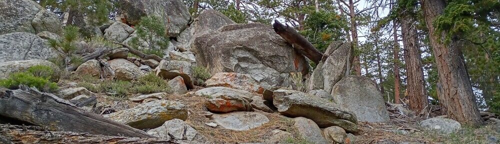
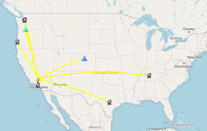
I’ve wanted to visit this area for a long time, but never made the trip because it’s kinda a far drive from my pad in Los Angeles. Well, after studying maps and looking over forest service maps, I found a perfect opportunity to go. Kel and I left home early in the morning, navigating various freeways out of the city, eventually ending up on Highway 14 north past Mojave, CA. From there, we turned left on Jawbone Canyon Road (dirt) and continued for quite a long way, eventually making a left on Grouse Meadow Trail, which got us close to the base of 7895. Once parked, it was an easy hike up to the summit. At the top I setup my Yaesu 817 with a roll-up 2M antenna and posted a spot. I didn’t think I would make any QSOs here, but Jon from Torrence boomed right in. I didn’t get any other takers, so I moved to the 20M band which resulted in two S2S QSOs. The weather was a bit stormy so I packed up and headed back to the truck.
https://sotl.as/summits/W6/SS-348
Total climbing: 274 ft
Date:28/05/2026 | Summit:W6/SS-348 (7895)
| Time | Callsign | Band | Mode | Distance (km) | Notes |
|---|---|---|---|---|---|
| 19:30 | NT6E | 144MHz | CW | 178 | %QRA%DM03TU% S599 R52N |
| 19:42 | KX6I | 14MHz | CW | 1204 | S2S W7W/LC-107 S5NN R52N |
| 19:43 | WW7D | 14MHz | CW | S57N R53N | |
| 19:45 | KX0R | 14MHz | CW | 1254 | S2S W0C/FR-085 S55N R33N |
| 19:46 | WU7H | 14MHz | CW | S57N R56N | |
| 19:47 | NW7E | 14MHz | CW | S57N R55N | |
| 19:48 | AC7P | 14MHz | CW | S52N R55N | |
| 19:52 | WD4CFN | 14MHz | CW | S56N R44N |