Chariot Mountain was the second of two summits I completed while camping at Cuyamaca Rancho State Park with the So. Cal SOTA group. Before the event N6MTB published a route from camp to the summit of Chariot. At that point my mind was made up, this is what I was going to do. After a quick breakfast, I jumped on the bike and headed up the mountain.
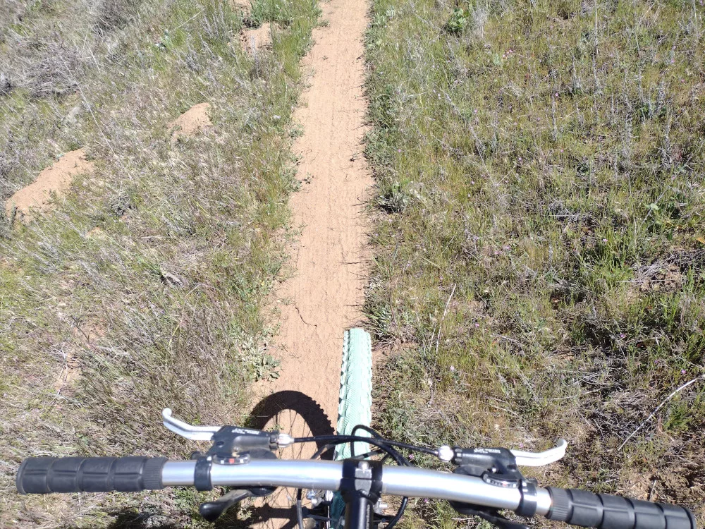
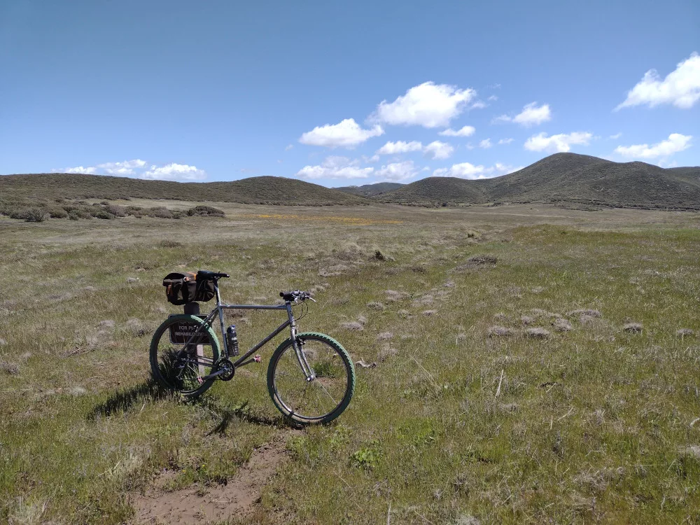
The ride was awesome, starting with some single track right at the camp, then into more single track through a meadow, to a fire road, to more single track through another meadow. Oh, weather was perfect too! Near the end of the fun stuff there is a big downhill over a fire road which leads to the bottom of Chariot. This wasn’t going to be fun climbing up! Once at the bottom, I realized there isn’t a trail up to the top! The summit is also guarded by thick pokey bushes. I stashed my bike, gathered my stuff and started the painful bushwhack to the top.
Since I didn’t have a backpack, I was hand carrying everything I couldn’t fit onto my pockets. Unfortunately, my Yaesu HT was clipped to my pocket and disappeared somewhere in the brush. I was never going to find it. After attempting to backtrack my exact route for 15 minutes or so, I heard a radios squelch crack open – Ara was on a summit, and I was able to locate my radio about 30 feet away from where I was standing. I would have never found it otherwise!
I now had to backtrack through the brush again. My skin was starting to feel ‘raw’ from all the scratches. I wasn’t having a good time. Fortunately, the higher you go, the thinner the brush, and near the top, there isn’t any brush! Once on the actual summit, I signed the register and pulled out my KH1 with the whip. Worked 15, 17, and 20M, then 2M FM. After exhausting all the chasers I started my decent through the brush once again.
Back at the road it took me a minute to find my bike and pack all my stuff up for the ride back to camp. That big uphill wasn’t so bad and before I knew it I was back riding through the various meadows on single track. I chose not to take the exact route back, which was rad because I ran into Bill and Drew on the main road and rode with them back to camp on a different trail. What a rad day!
https://sotl.as/summits/W6/SD-074
Total climbing: 2584 ft

Date:27/04/2024 | Summit:W6/SD-074 (Chariot Mountain)
| Time | Callsign | Band | Mode | Notes |
|---|---|---|---|---|
| 19:15 | K6ARK | 144MHz | FM | S59 R59 |
| 19:16 | KD7DTS | 144MHz | FM | S59 R59 |
| 19:17 | WO6JO | 144MHz | FM | S59 R59 S2S W6/CC-014 |
| 19:18 | N6AN | 144MHz | FM | S59 R59 S2S W6/CC-014 |
| 19:18 | KX6I | 144MHz | FM | S59 R59 S2S W6/CC-014 |
| 19:19 | KI6SLA | 144MHz | FM | S59 R59 |
| 19:20 | N6XZN | 144MHz | FM | S59 R59 |
| 19:35 | W9SSN | 21MHz | CW | S57N R599 S2S W6/CC-014 |
| 19:37 | WD4CFN | 21MHz | CW | S51N R44N |
| 19:38 | W7TMD | 21MHz | CW | S57N R599 |
| 19:42 | N7KRN | 21MHz | CW | S52N R53N |
| 19:44 | KC1NDQ | 21MHz | CW | S52N R33N |
| 19:48 | KI5JG | 18MHz | CW | S52N R55N |
| 19:50 | WU7H | 18MHz | CW | S52N R53N S2S W7W/CH-241 |
| 19:52 | WW7D | 18MHz | CW | S52N R51N S2S W7W/CH-241 |
| 19:53 | NU7A | 18MHz | CW | S57N R33N |
| 20:00 | N1SMB | 14MHz | CW | S42N R55N S2S W6/SC-335 |
| 20:03 | W6LOR | 14MHz | CW | S53N R52N S2S W6/CT-268 |