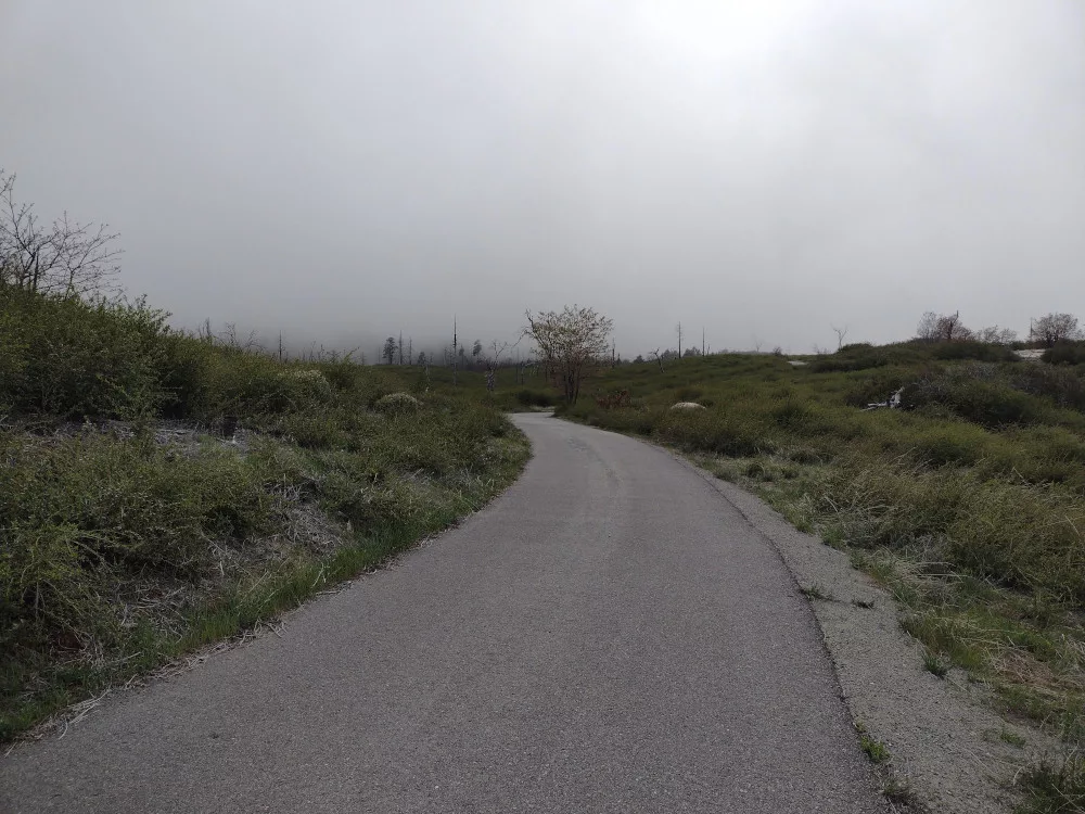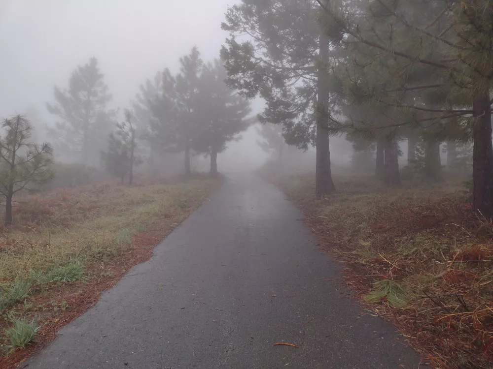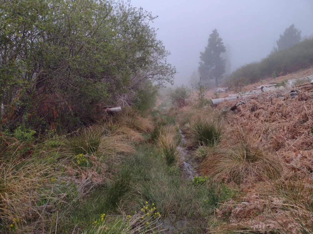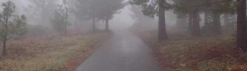
Cuyamaca Peak is one of two summits I completed while camping at Cuyamaca Rancho State Park with the So. Cal SOTA group. I rode my mountain bike up the steep paved road from the campground and ended up operating in a gravel parking area near the tower facility. There was thick fog, with water accumulating on the infrastructure above. Whenever the wind blew, it would feel like it was raining, and perhaps it was a bit. It was starting to get late by the time I got up there, so I worked 20M CW, then 2M FM which got me most of the camping group in 3 minutes. I took a different way down to make a loop out of the ride, but I think I would go up this way next time as it was a nicer experience.
https://sotl.as/summits/W6/CC-014
Total climbing: 1573 ft
Date:27/04/2024 | Summit:W6/CC-014 (Cuyamaca Peak)
| Time | Callsign | Band | Mode | Notes |
|---|---|---|---|---|
| 01:00 | WW7D | 14MHz | CW | S58N R51N |
| 01:01 | N7KRN | 14MHz | CW | S55N R55N |
| 01:03 | W2MHS | 14MHz | CW | S51N R22N |
| 01:09 | N4DH | 14MHz | CW | S51N R44N |
| 01:13 | N6XZN | 144MHz | FM | S59 R59 |
| 01:13 | K6ARK | 144MHz | FM | S59 R59 |
| 01:13 | W9SSN | 144MHz | FM | S59 R59 |
| 01:14 | N6MTB | 144MHz | FM | S59 R59 |
| 01:14 | KB9ENS | 144MHz | FM | S59 R59 |
| 01:14 | KD7DTS | 144MHz | FM | S59 R59 |
| 01:14 | K6RWZ | 144MHz | FM | S59 R59 |
| 01:15 | KI6SLA | 144MHz | FM | S59 R59 |
| 01:15 | WB6EDK | 144MHz | FM | S59 R59 |
| 01:15 | K6CWC | 144MHz | FM | S59 R59 |
| 01:15 | WO6JO | 144MHz | FM | S59 R59 |
| 01:18 | KK6WLD | 144MHz | FM | S55 R31 |