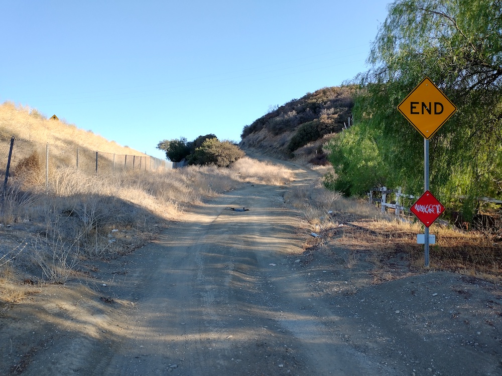
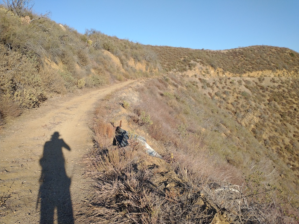
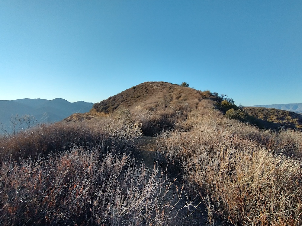
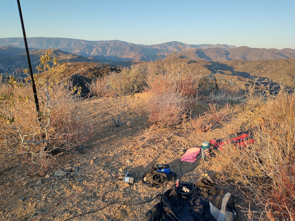
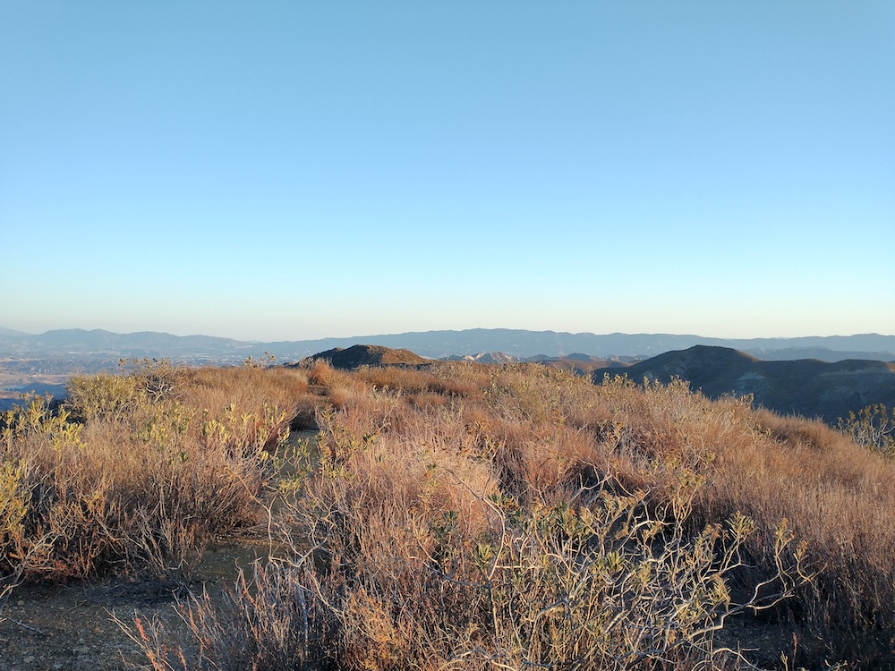
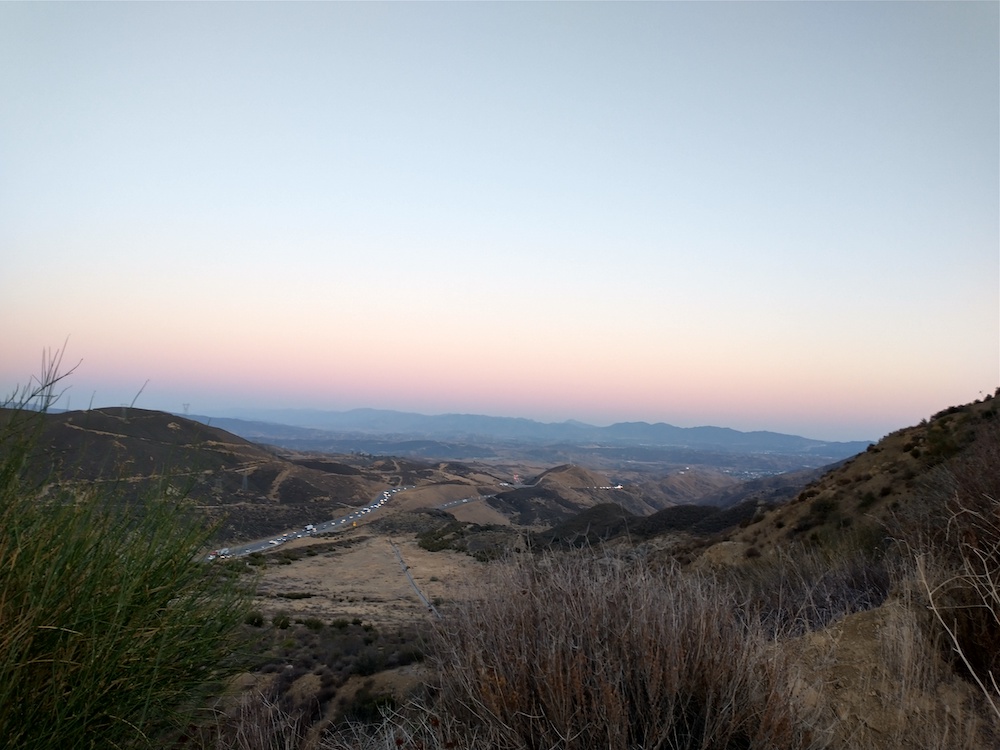
This is a pretty easy two point summit just off Interstate 5 north of Santa Clarita. Park near Templin Highway and find the fire road along the south side of the highway. Follow this up to a locked gate and continue up the hill. Eventually you will come to a saddle, with a light use trail which leads to the summit. Watch out for rattle snakes! Worked 20M, and 40M CW, no S2S.
https://sotl.as/summits/W6/SC-161
Total distance: 3.01 mi
Total climbing: 824 ft
Download file: Townsend.GPX
Total climbing: 824 ft
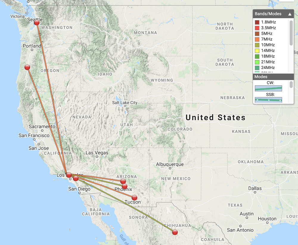
Date:11/10/2021 | Summit:W6/SC-161 (Townsend Peak)
| Time | Callsign | Band | Mode | Notes |
|---|---|---|---|---|
| 00:37 | WW7D | 7MHz | CW | S559 R439 |
| 00:40 | K6QCB | 7MHz | CW | S549 R42N |
| 00:42 | N7CNH | 7MHz | CW | S559 R44N |
| 00:44 | KF6HI | 7MHz | CW | S599 R559 |
| 00:48 | KR7RK | 7MHz | CW | S599 R229 |
| 00:51 | W6GRT | 7MHz | CW | S549 R56N |
| 00:55 | NU7B | 10MHz | CW | S559 R33N |
| 00:58 | N7BHP | 10MHz | CW | S55N R33N |