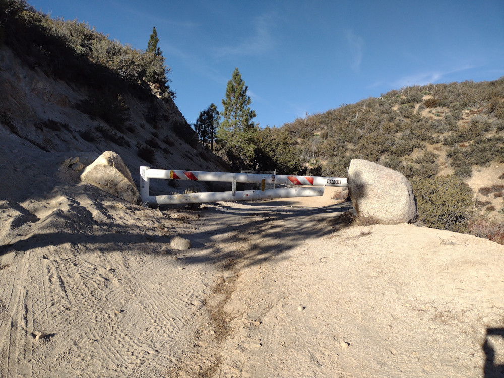
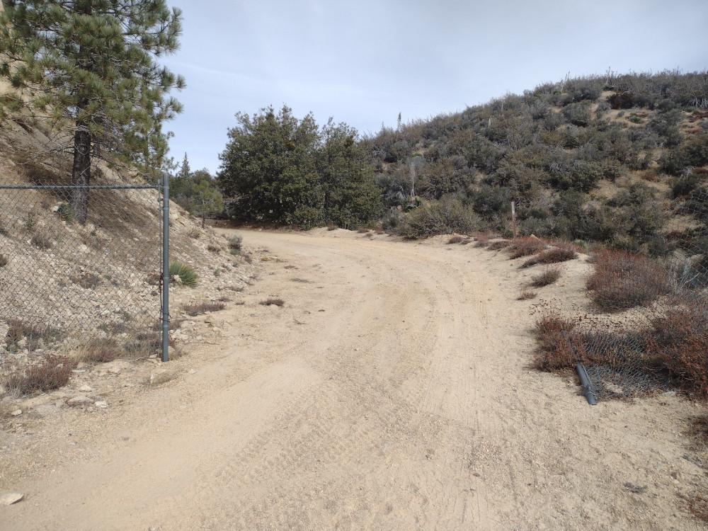
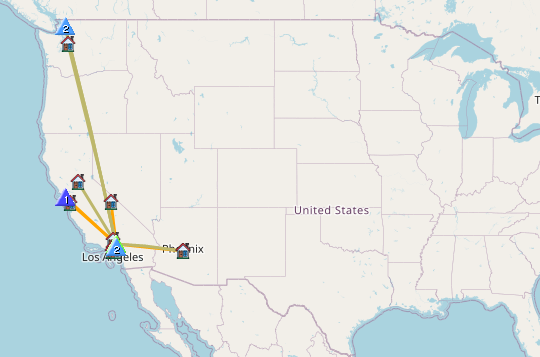
Kel and I started this trip from Mill Creek Summit at the intersection of Pacifico Mountain Road (3N17) and Angels Forest Highway. From there we took a Subaru all the way down Pacifico Mountain Road, past Alder saddle to Little Rock Canyon Road and stopped at a locked gate. I was surprised to see several hunting groups here meeting up to head out of the forest after a long night. It’s deer season, but the hunters I spoke to said they didn’t see any deer this year.
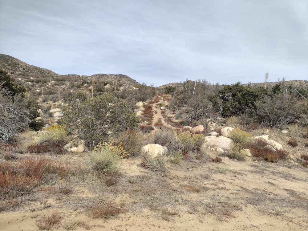
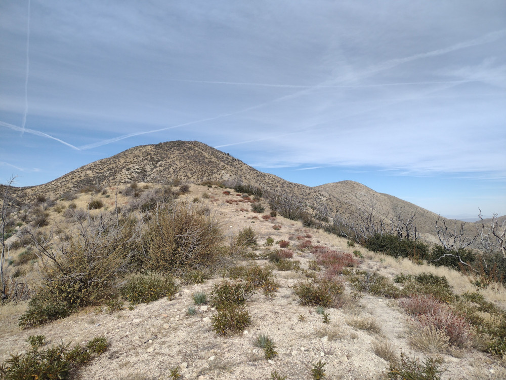
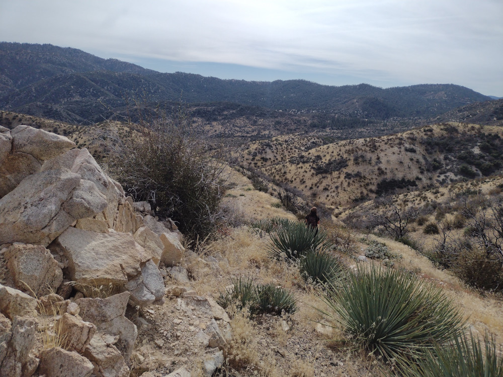
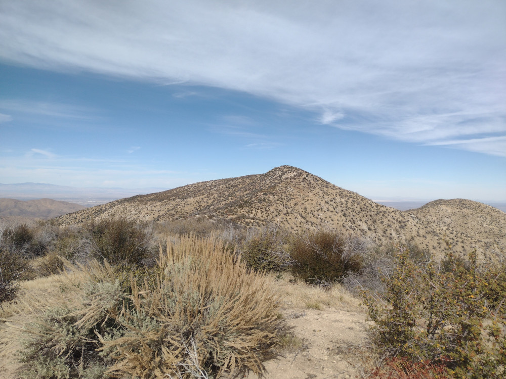
No time was wasted after arriving at the trailhead so we quickly started hiking down 5N04 to a fire break that runs up to Bare Mountain. This is on the left side of the forest road by a water culvert. See the attached .gpx for more details. The hike is steep with several false summits. There is no tree cover or shade of any type so the name of this summit is appropriate. For me, hiking this in the summer would be uncomfortable. At the top, I worked 40m, 30m, and 2m, with 4 S2S QSOs. The return trip was the same as the accent. I don’t know why it took me so long to visit this mountain; I really enjoyed everything about it and will be back next year to activate again.
https://sotl.as/summits/W6/CT-082
Total climbing: 1837 ft
Date:10/11/2023 | Summit:W6/CT-082 (Bare Mountain)
| Time | Callsign | Band | Mode | Notes |
|---|---|---|---|---|
| 21:00 | KD7DTS | 144MHz | FM | S22 R45 S2S W6/CT-266 |
| 21:01 | NT6E | 144MHz | FM | S44 R59 |
| 21:02 | KI6SLA | 144MHz | FM | S55 R55 |
| 21:18 | NN7O | 7MHz | CW | S58N R53N |
| 21:19 | KF6HI | 7MHz | CW | S57N R57N |
| 21:20 | K6EL | 7MHz | CW | S55N R57N S2S W6/NC-423 |
| 21:21 | WB6POT | 7MHz | CW | S57N R599 |
| 21:31 | N7EDK | 10MHz | CW | S32N R54N |
| 21:32 | AI6XG | 10MHz | CW | S57N R58N |
| 21:36 | WU7H | 10MHz | CW | S21N R55N S2S W7W/WH-194 |
| 21:37 | WW7D | 10MHz | CW | S21N R51N S2S W7W/WH-194 |
| 21:38 | K7MAS | 10MHz | CW | S52N R55N |
| 21:40 | WA7JTM | 10MHz | CW | S57N R57N |
| 21:41 | KN6DMO | 10MHz | CW | S57N R56N |
| 21:51 | KN6KS | 144MHz | FM | S59 R59 |