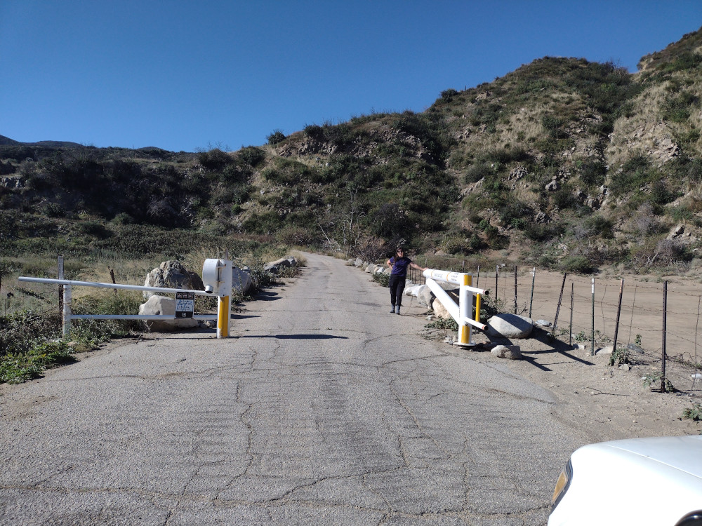
I read that 1N34 was open for deer hunting season which means there is access to Buck Point. I started out by driving out from Los Angeles to the 15, getting off on Sierra Avenue, then continuing straight until Lytle Creek road. From here, there is a forest gate on the left which might be open. When we got there, it looked closed from the road, but upon further inspection, it was unlocked and slightly ajar – so perhaps wind blew it closed, or a hunter closed it to keep others out? Either way, my wife pushed it open and we drove through.
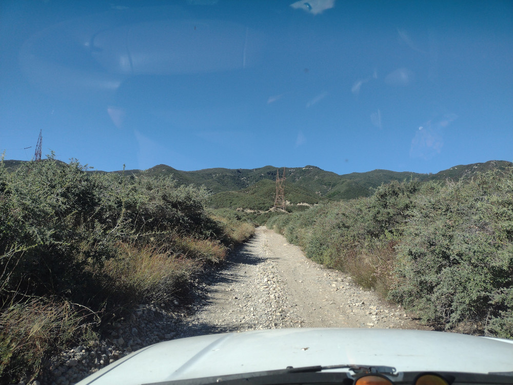
It’s a long way up a forest road, which gets narrower and rockier the further you travel. There are several switchbacks and not very many opportunities for two way traffic. About three quarters of the way there is a large commercial communications site. This is where the nice part of the forest road ends. You need to continue further down the road which is overgrown, rocky, and sorta steep. You will not make this in a 2wd car. I would be very uncomfortable in a 2wd high clearance vehicle. Your paint will get pinstriped from the woody brush.
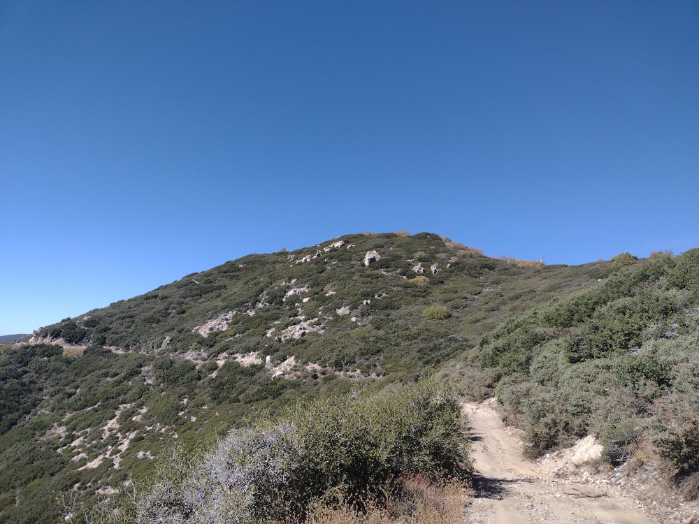
Near our target, we parked the truck in an small clearing where the topo map lines of the summit seemed gentle, slathered on some sunscreen and attempted to find any kind of trail that would lead us to the top. I had read this was overgrown, so I brought some garden clippers to help maintain the trail. This effort was abandoned after 30 minutes of fighting through dense vegetation and making no gain in elevation. We turned around and went back to the truck to come up with another plan.
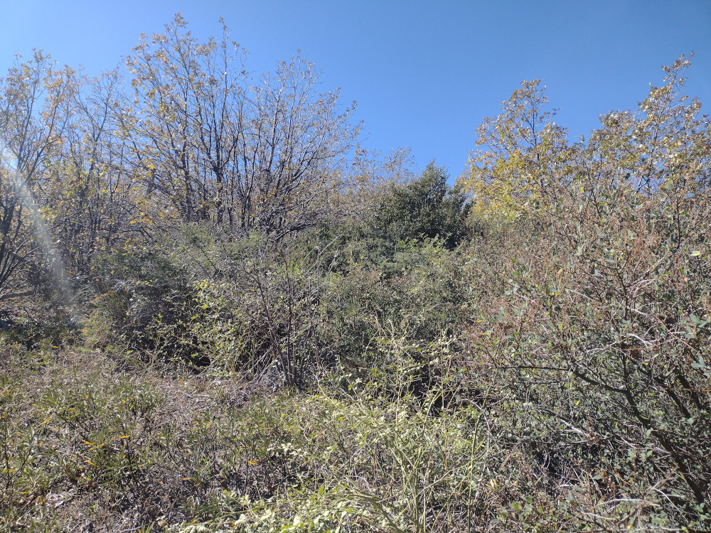
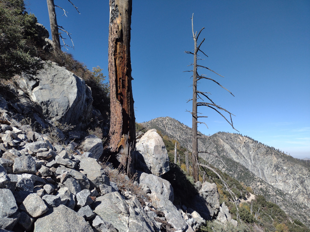
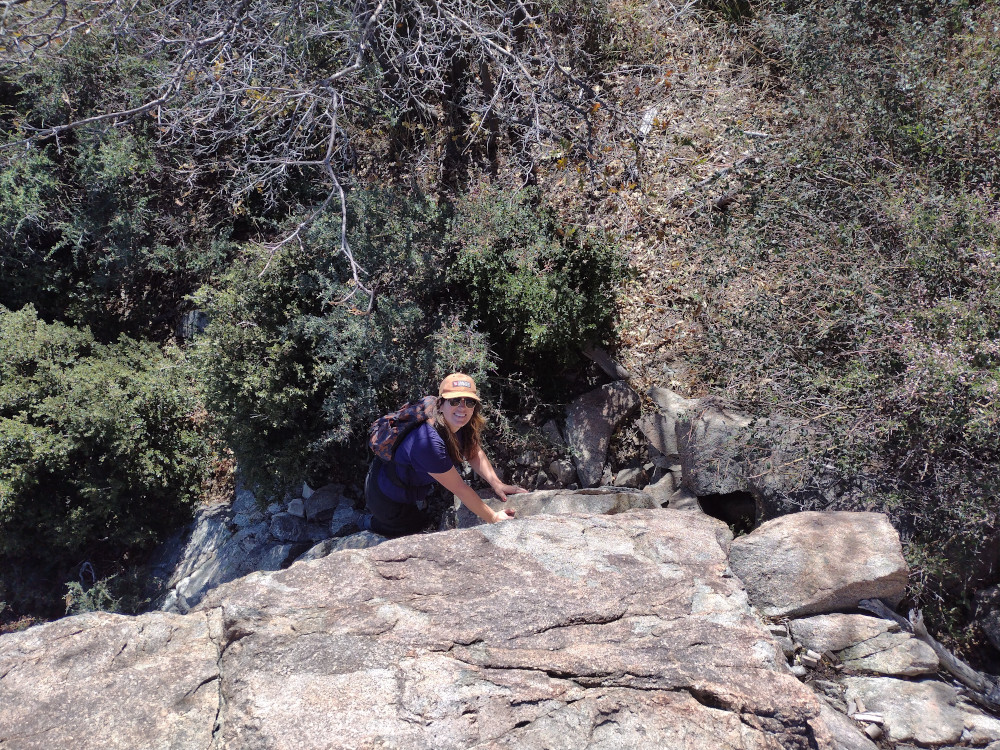
Leaving the truck we continued down the forest road on foot to a gps location AJ6KZ said was the trailhead in his write up about Buck Point. (34.21503, -117.53971). From the road, there was no obvious trail or cairn in sight, but I shimmied myself up the steep embankment and scrambled up a field of loose rocks anyways. Kel followed. From here I saw a cairn, then two, then areas where there was an obvious trail, which was very overgrown to the point it wasn’t visible in some places. We moved slowly, using garden clippers to open the trail back up for others after us.
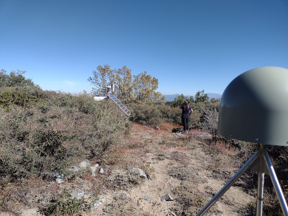
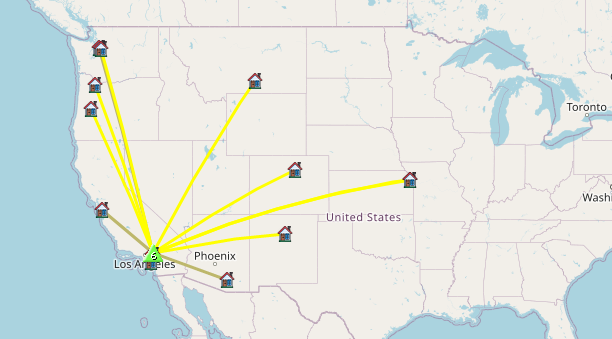
Finally making it to the top, there is a seismic monitoring station, powered by a small solar array with a microwave data back-haul. There wasn’t enough room at the top to stretch out 40M worth or antenna, so I only worked 30m, 20m CW, 2m FM for the locals. After exhausting the chasers we headed back down which took no time at all. The sketchiest bit was the last 10 feet or to get back to the forest road.
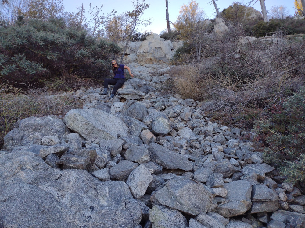
Walking back to the truck I talked with Kel about how I wish I had worn long pants, as I was badly scraped and bleeding from all the thorny plants up there. Later that night I started getting blisters on my legs which erupted in yellow goo the following days – so in addition to the thorny plants guarding the summit, I also got into something poisonous even though I didn’t notice any poodle dog bush. Maybe it was something else? Either way, the effort was totally worth it, however, I don’t see myself making this trip again.
https://sotl.as/summits/W6/CT-080
Total climbing: 691 ft
Date:02/11/2023 | Summit:W6/CT-080 (Buck Point)
| Time | Callsign | Band | Mode | Notes |
|---|---|---|---|---|
| 20:59 | N6XZN | 144MHz | FM | S59 R59 |
| 21:00 | K6NOV | 144MHz | FM | S55 R59 |
| 21:01 | KK6JM | 144MHz | FM | S54 R59 |
| 21:11 | N7EDK | 10MHz | CW | S22N R33N |
| 21:13 | K6HPX | 10MHz | CW | S57N R56N |
| 21:13 | WB6POT | 10MHz | CW | S57N R55N |
| 21:15 | WU7H | 10MHz | CW | S52N R43N |
| 21:21 | KN6TMT | 144MHz | FM | S59 R59 |
| 21:23 | WW7D | 14MHz | CW | S55N R52N |
| 21:24 | W0MNA | 14MHz | CW | S56N R55N |
| 21:25 | KT5X | 14MHz | CW | S51N R33N |
| 21:26 | W0ERI | 14MHz | CW | S56N R55N |
| 21:27 | K7TCU | 14MHz | CW | S55N R55N |
| 21:28 | K7ATN | 14MHz | CW | S31N R55N |
| 21:28 | W6TDX | 14MHz | CW | S55N R55N |
| 21:30 | WB7BWZ | 14MHz | CW | S55N R57N |
| 21:31 | KX0Y | 14MHz | CW | S55N R55N |