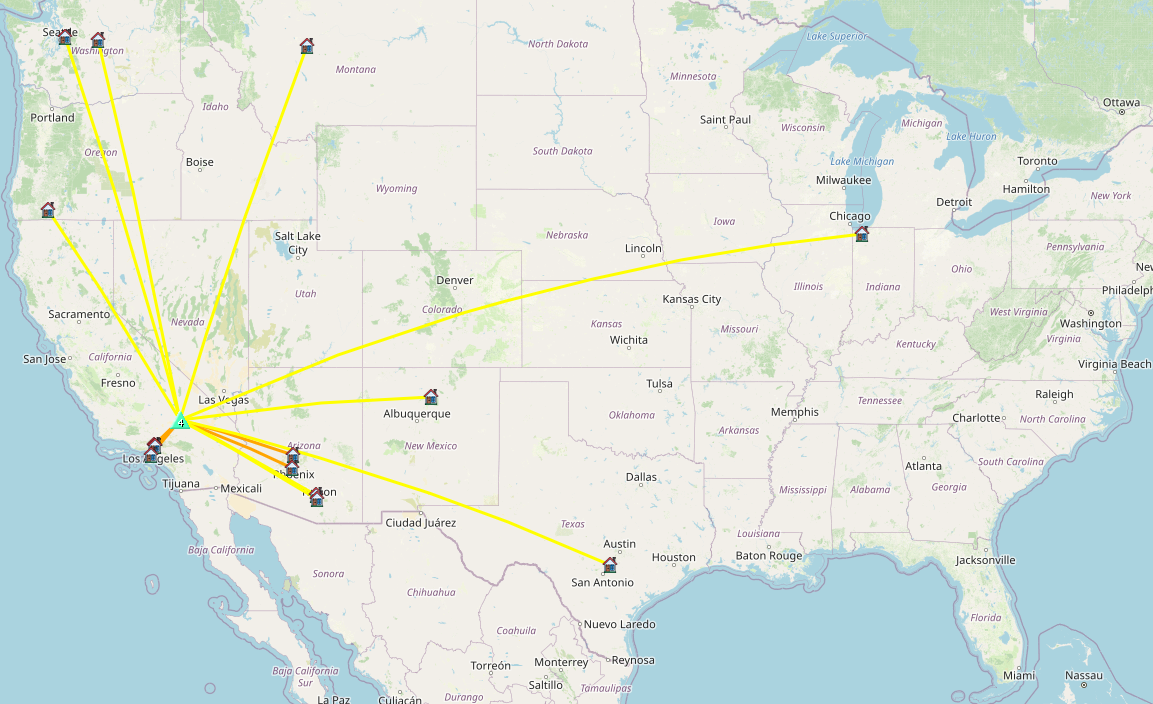
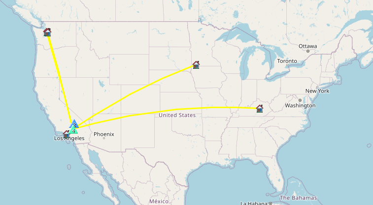
2026 SoCal Winter SOTA Fest schedule –
1st –> https://blog.benmook.com/w6-sd-080-4633/
2nd –> https://blog.benmook.com/w6-sd-013-east-ord-mountain/
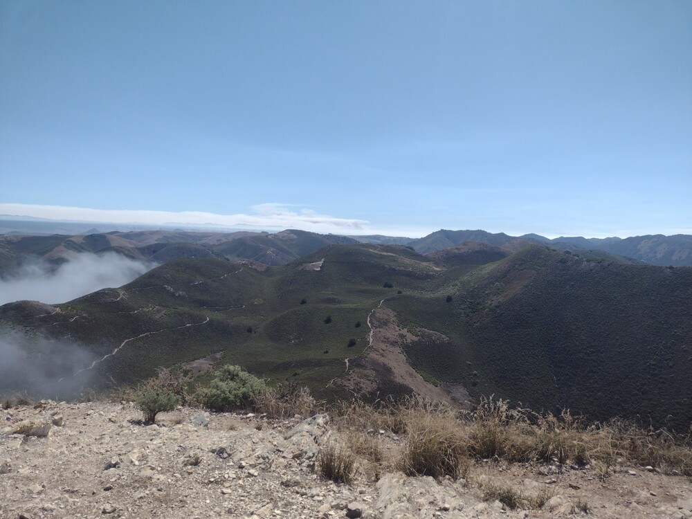
3rd –> (This one) https://blog.benmook.com/w6-sd-010-ord-mountain/
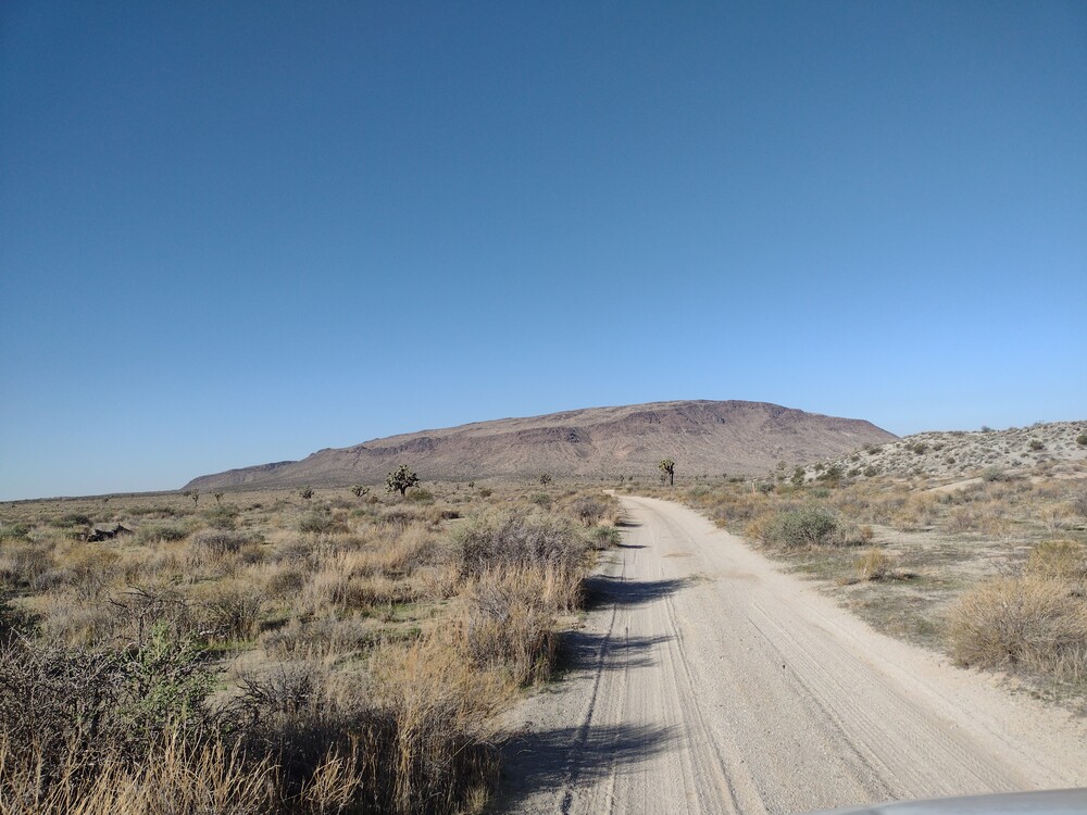
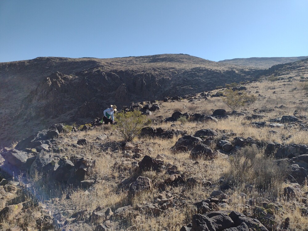
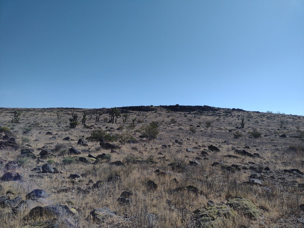
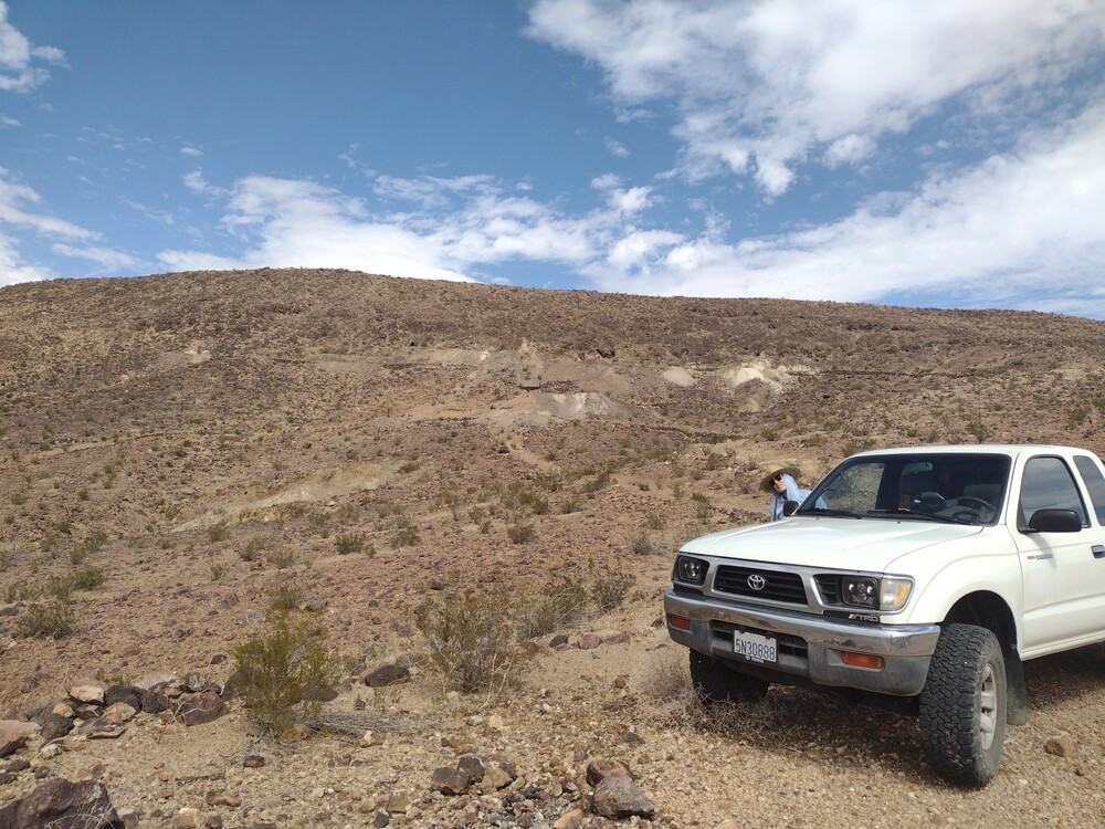
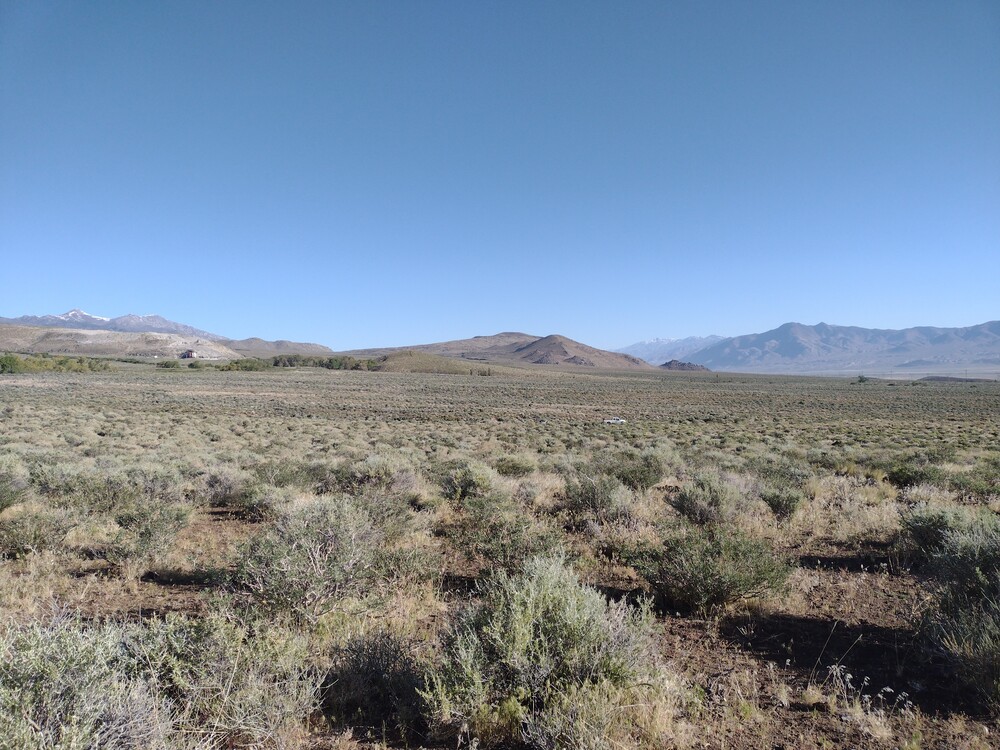
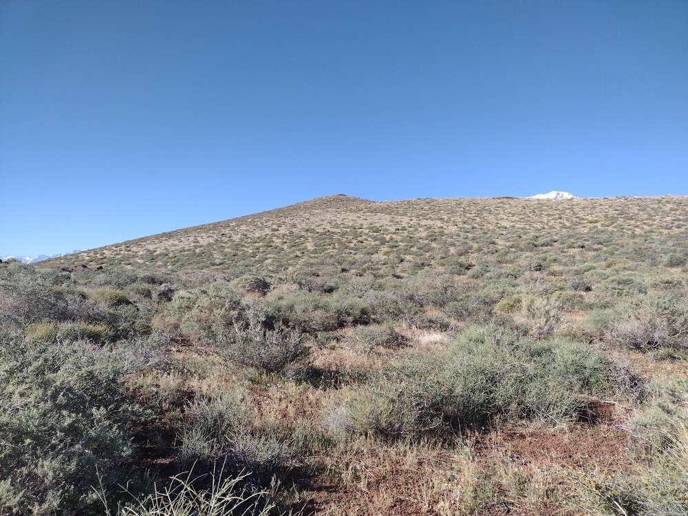
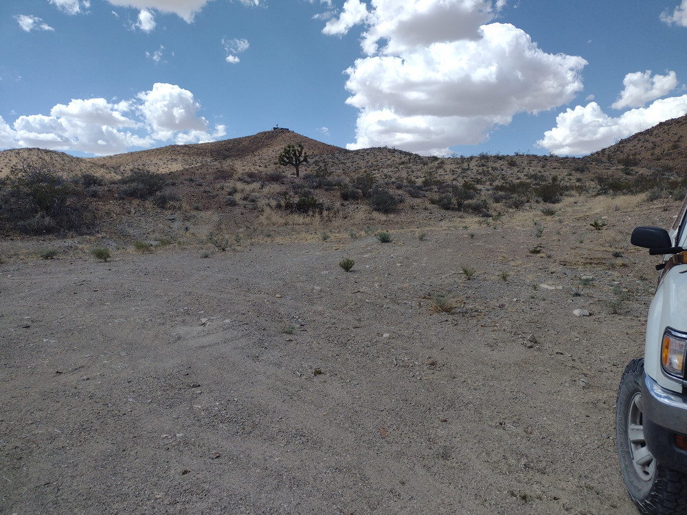
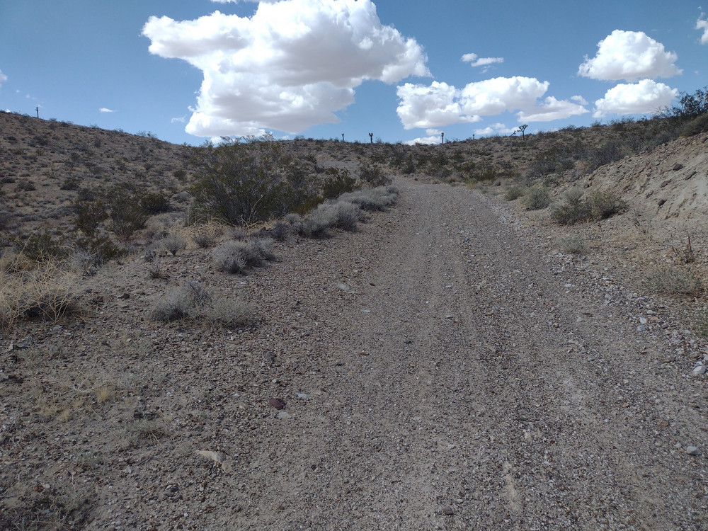
This was my third summit for SoCal Winter SOTA Fest 2026. I woke up in the morning, headed down to the hotel restaurant, and ordered breakfast with coffee. My knees were feeling “okay” but I was worried about doing more summits after East Ord destroyed them. I figured I could try an “easy” summit today so I headed out to Stoddard Mountain, W6/SD-060. Once I got close to the bottom of Stoddard, I parked the truck, slathered on some sunscreen and started a slow ascent. My knees were hurting. About 1/4 mile up, I wanted to make sure I could actually get down without stabbing knife pains, so I walked back a bit, and my knees were screaming. There was no way I could get up and down any summit today, so I continued back to the truck with the plan of heading home to Los Angeles early.
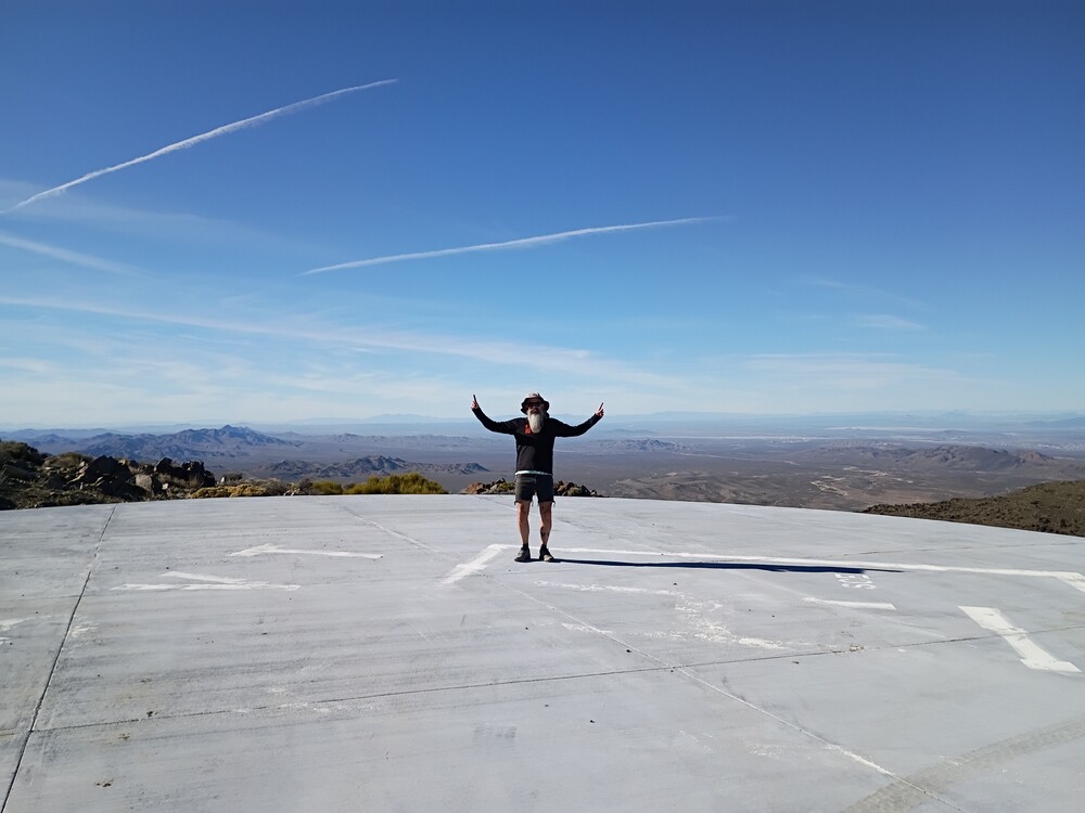
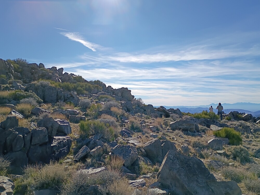
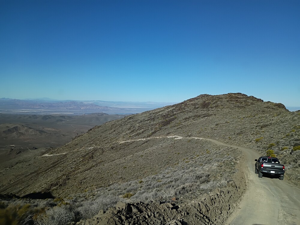
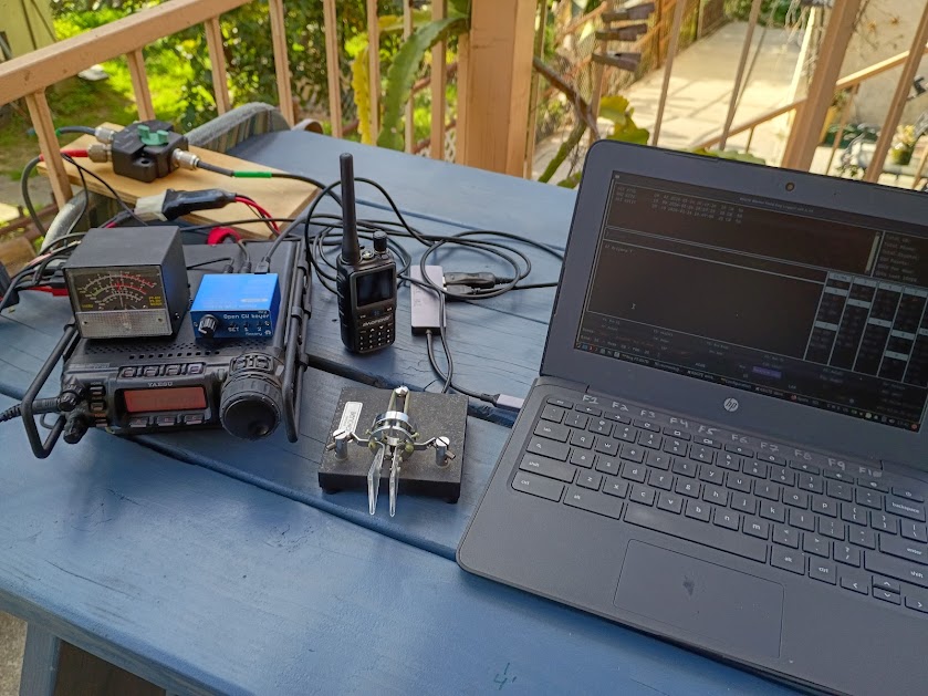
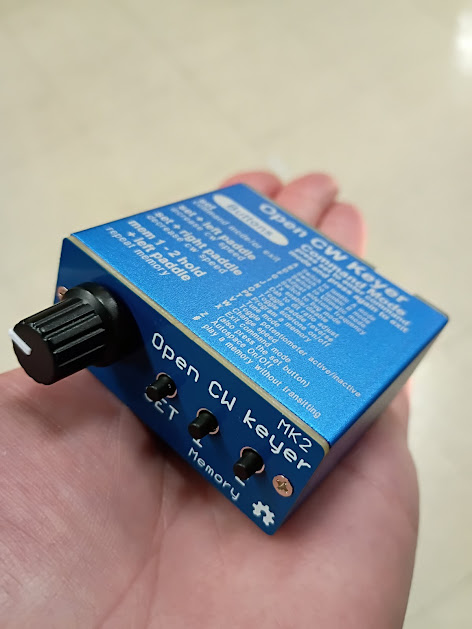
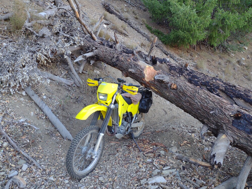
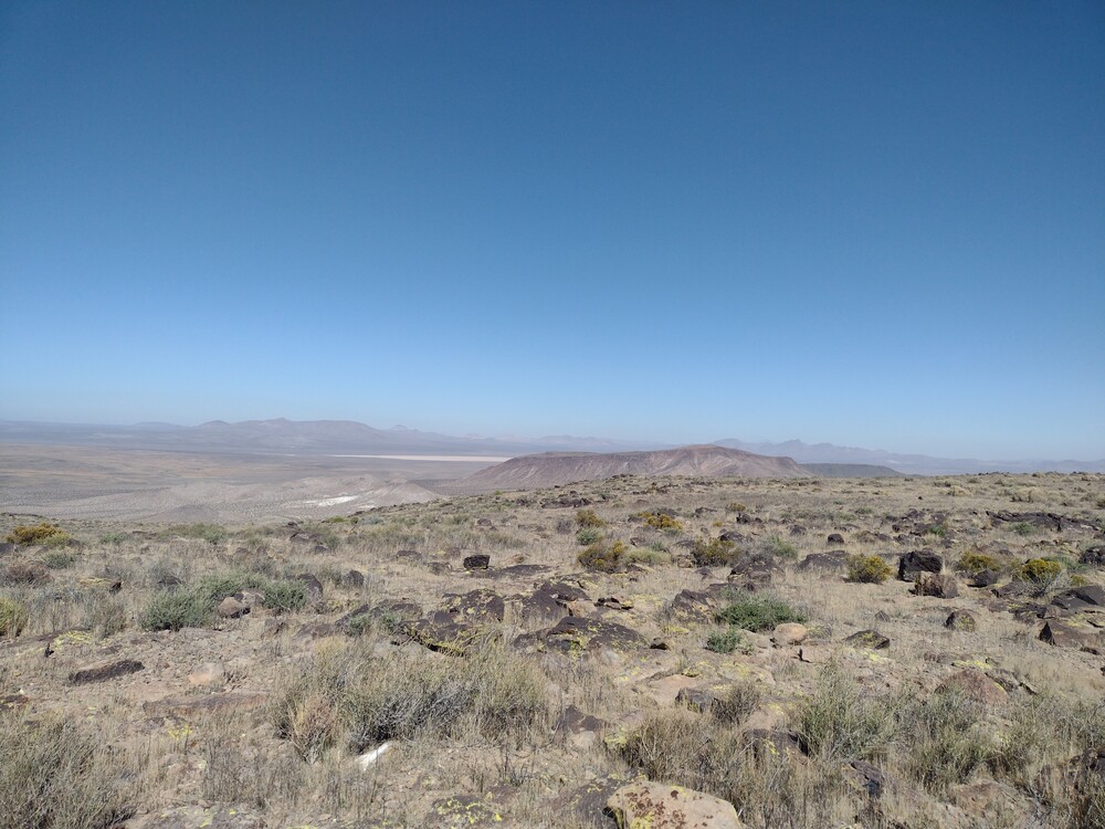
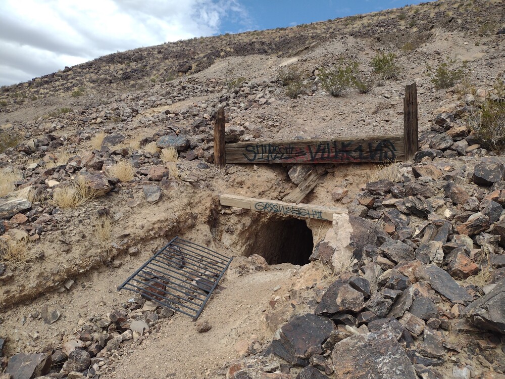
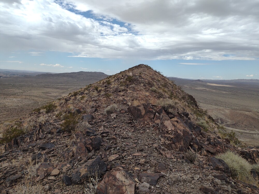
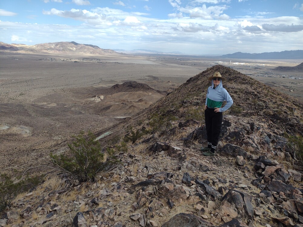
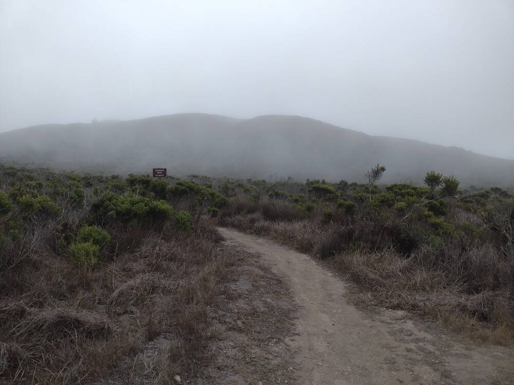
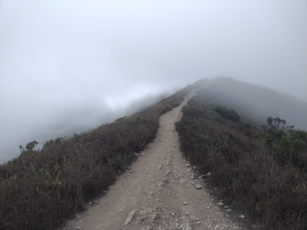
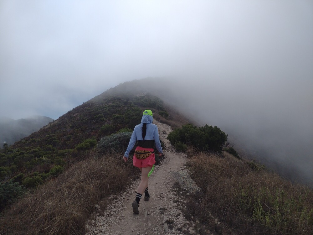
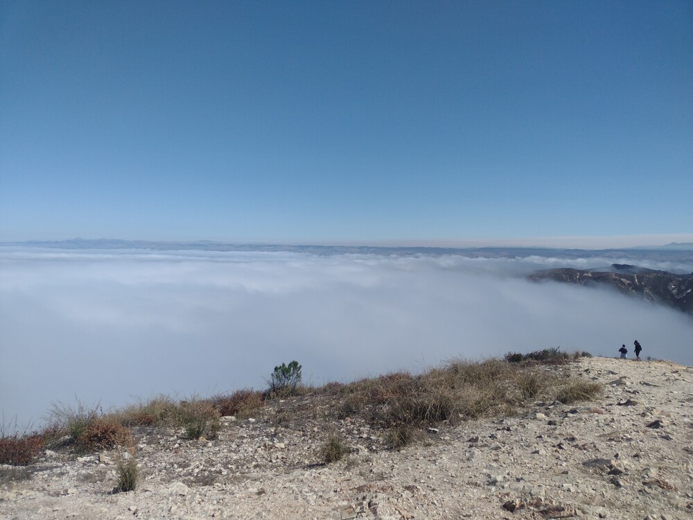
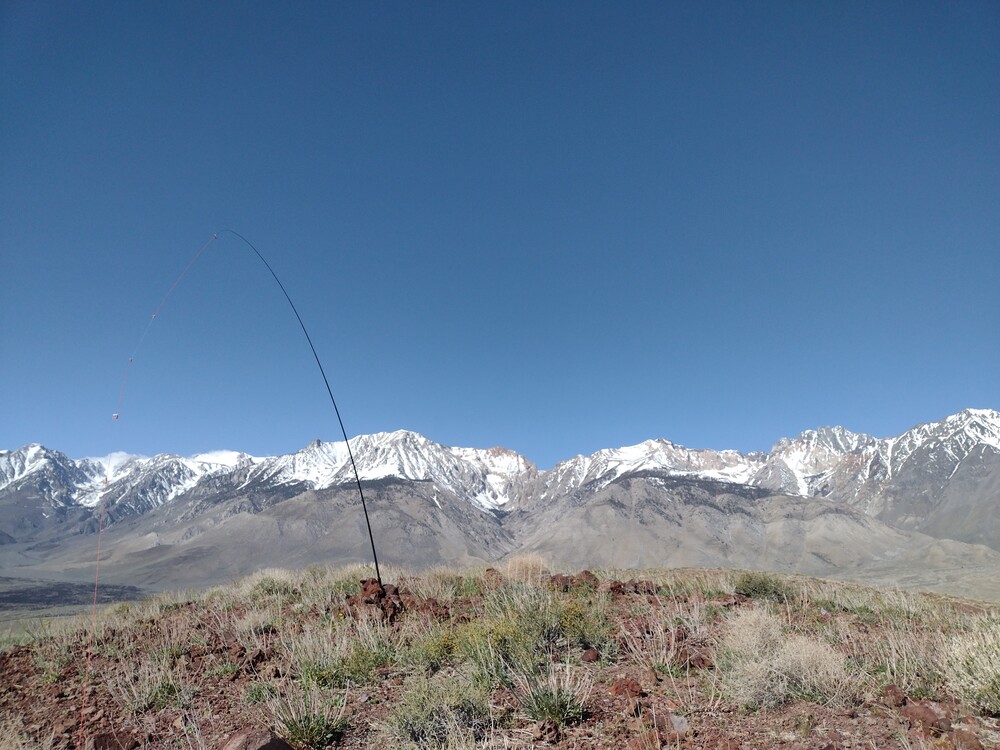
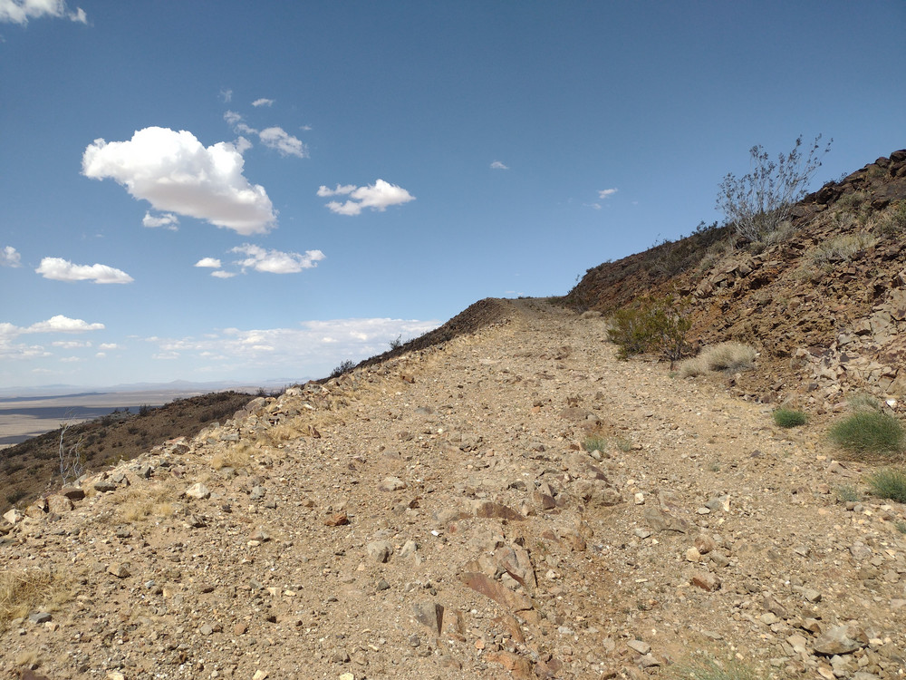
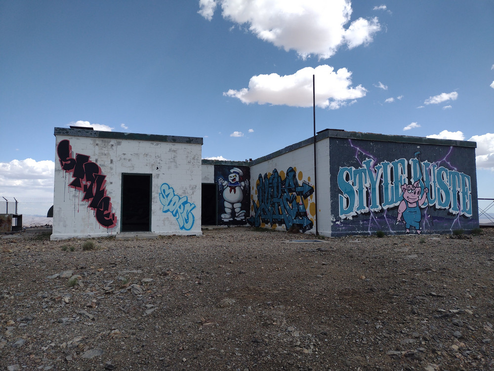
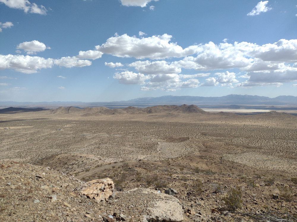
Over 2M, I heard two local hams at the Slash X Cafe talking about how they were heading up to Ord Mountain. I interjected, introduced myself, and asked if I could joint them, and they agreed! I headed over to the Slash X to meet up with them, and after a quick chat we were on our way. (I’m leaving out all of details on who/ how we got up there) Once at the top I used a 2M HT and called CQ, which was quickly answered by others activating in the area. Two S2S. From there, I went on 2M CW with a yaesu 817 and got two more QSOs. I didn’t want my hosts to stand around waiting for me to work HF bands, so I signed QRT and packed up.
https://sotl.as/summits/W6/SD-010
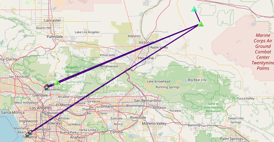
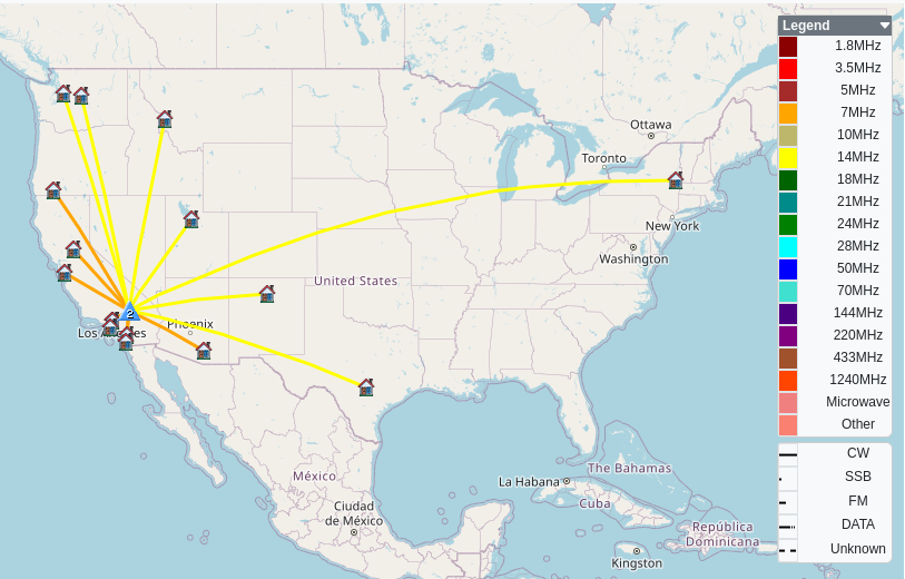
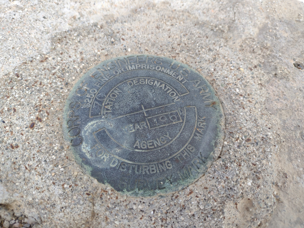
Date:17/01/2026 | Summit:W6/SD-010 (Ord Mountain)
| Time | Callsign | Band | Mode | Distance (km) | Notes |
|---|---|---|---|---|---|
| 21:51 | W6LOR | 144MHz | FM | S59 R59 | |
| 21:52 | K6STR | 144MHz | FM | S59 R59 | |
| 21:52 | KE6SRN | 144MHz | FM | S59 R59 | |
| 21:53 | KE6SRO | 144MHz | FM | S59 R59 | |
| 21:53 | K6TW | 144MHz | FM | S59 R59 | |
| 21:55 | K6CPR | 144MHz | FM | 13 | S2S W6/SD-116 S59 R59 |
| 21:57 | AK6IY | 144MHz | FM | 127 | S2S W6/CT-019 S45 R57 |
| 22:03 | K6STR | 144MHz | CW | 107 | %QRA%DM15MP% |
| 22:04 | NT6E | 144MHz | CW | 174 | %QRA%DM03TU% |