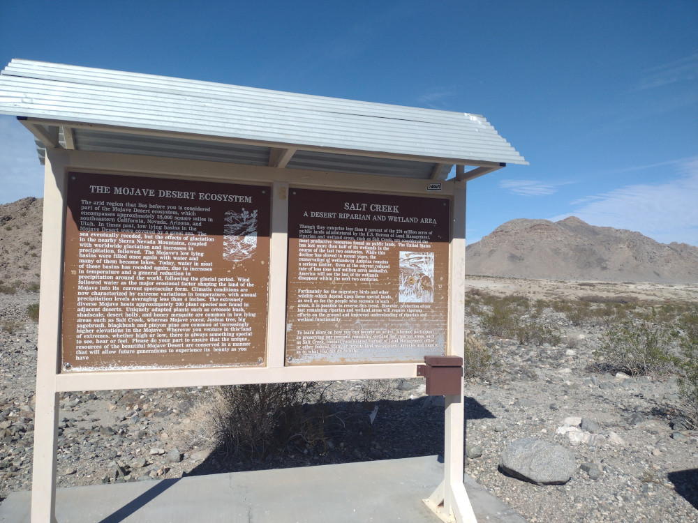
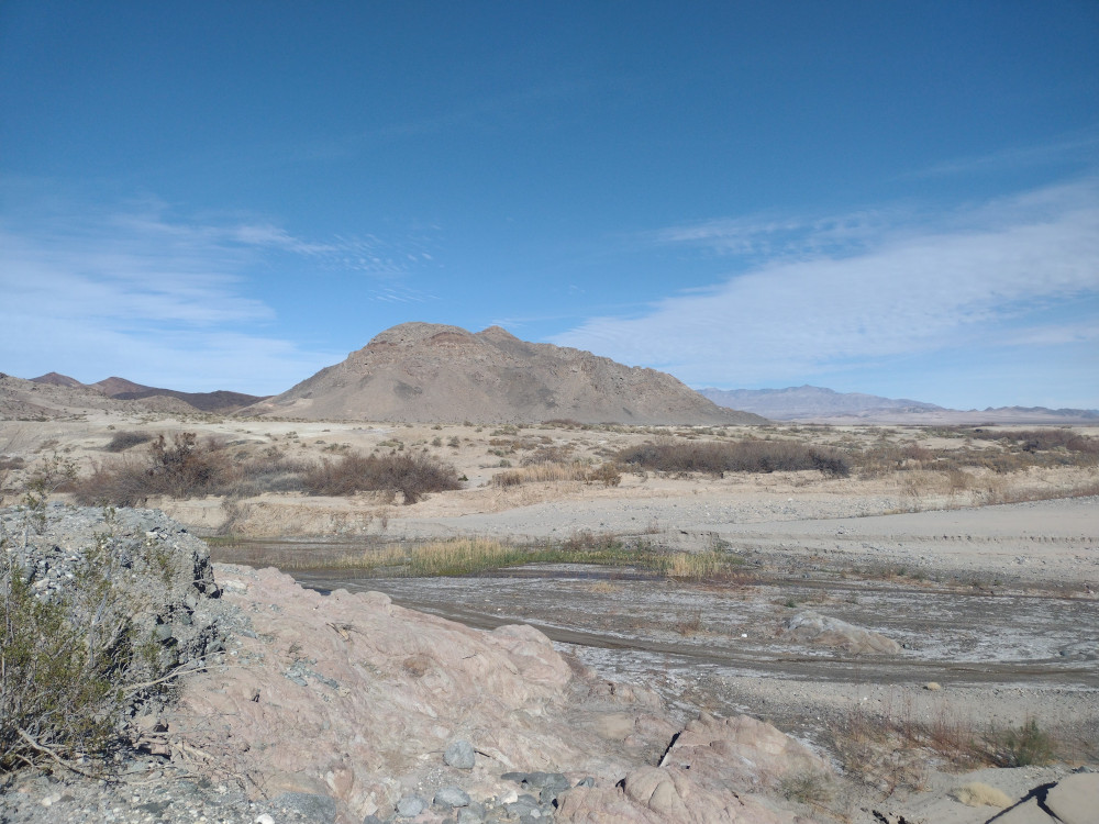
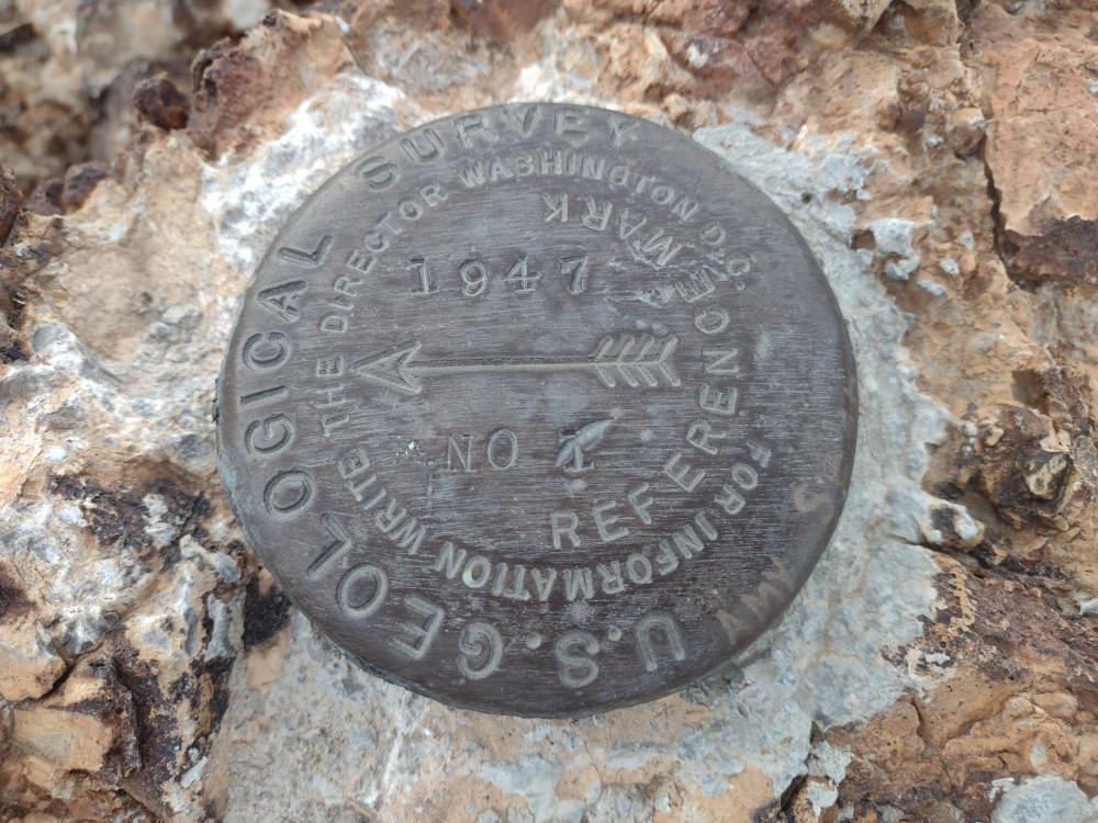
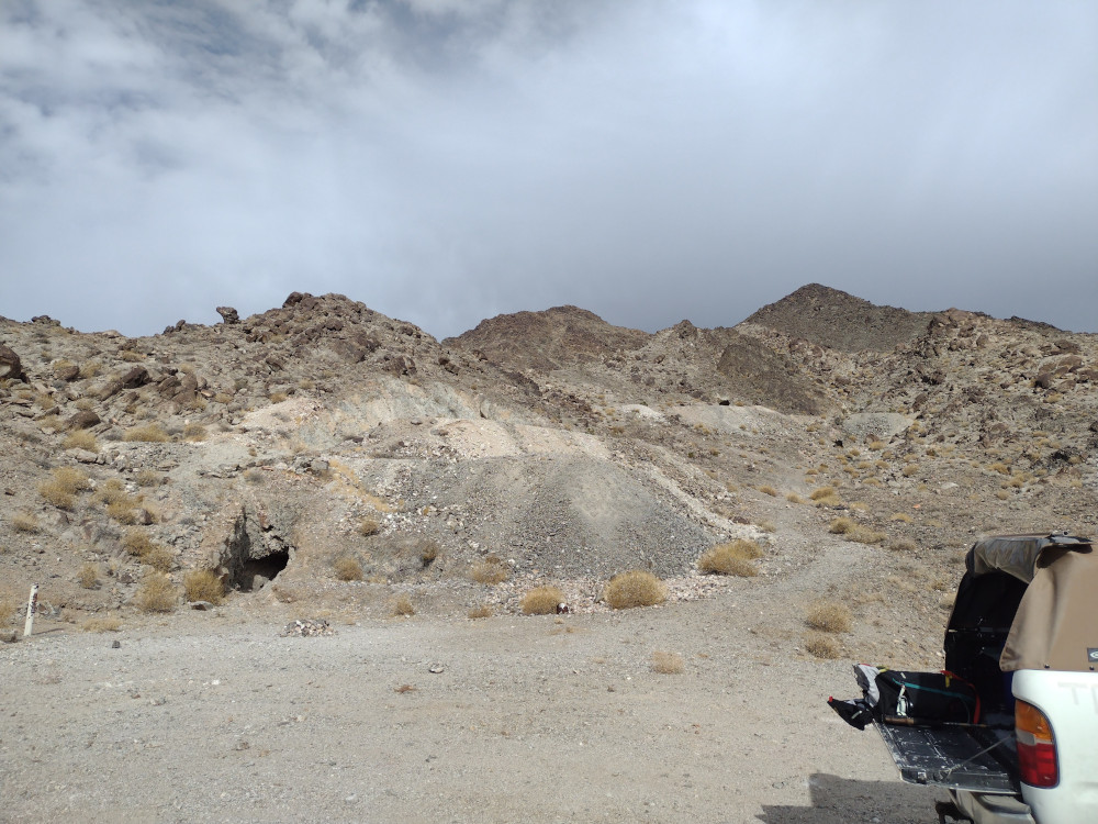
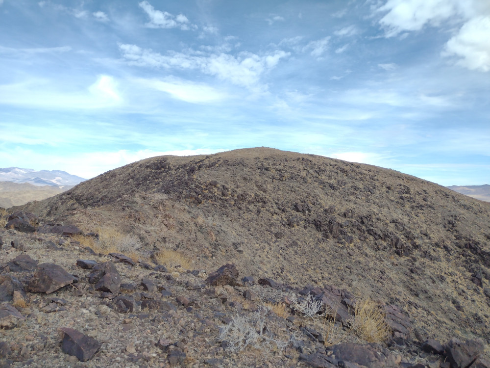
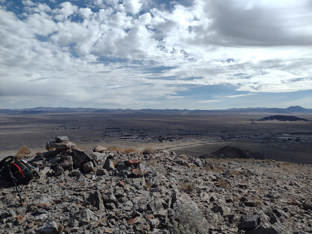
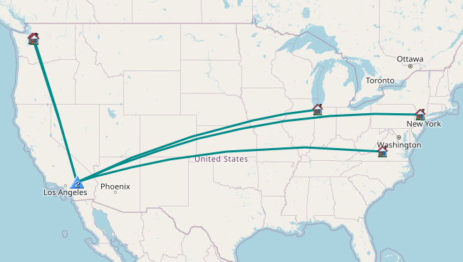
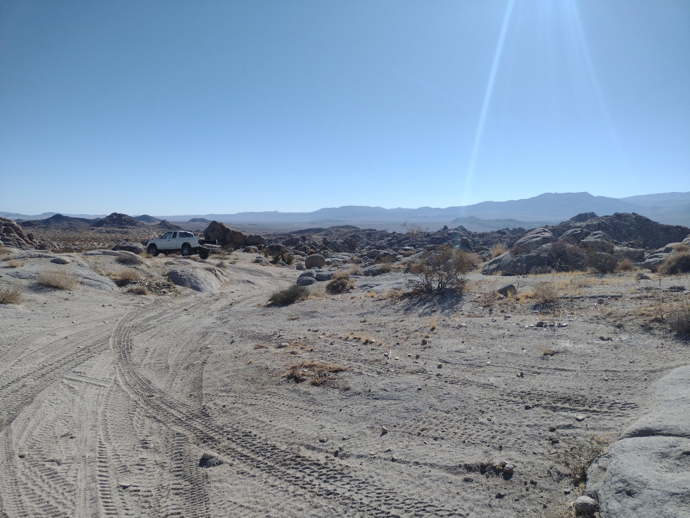
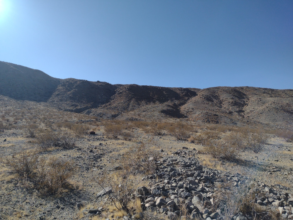
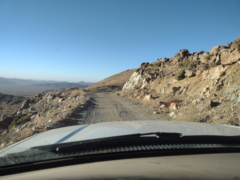
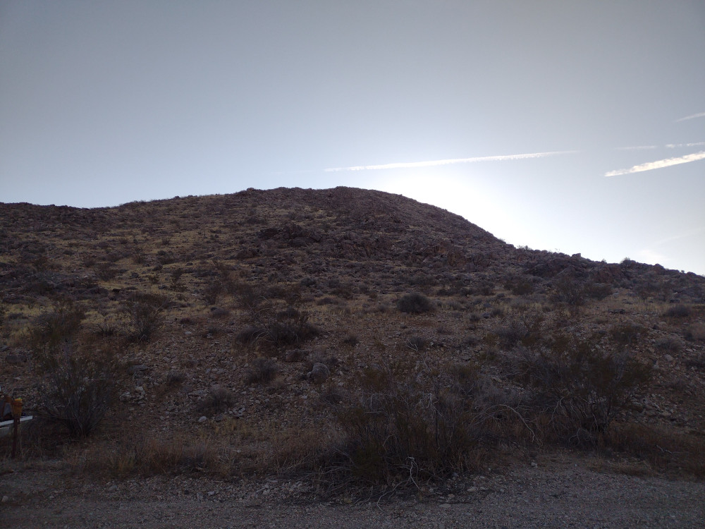
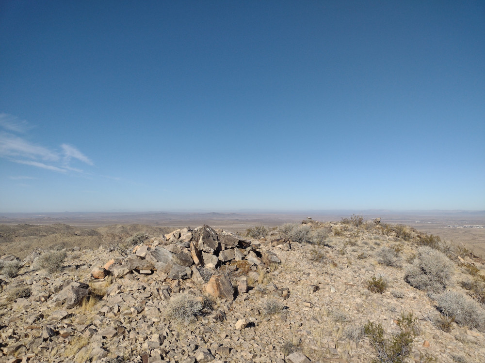
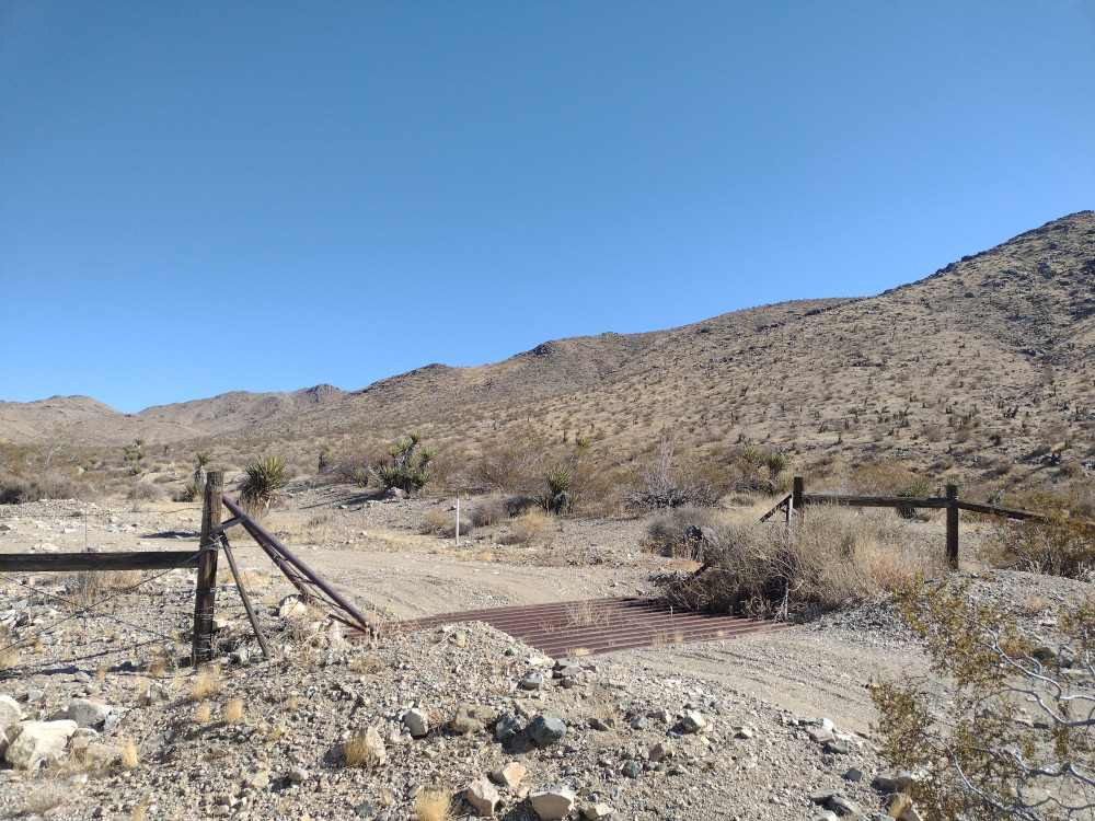
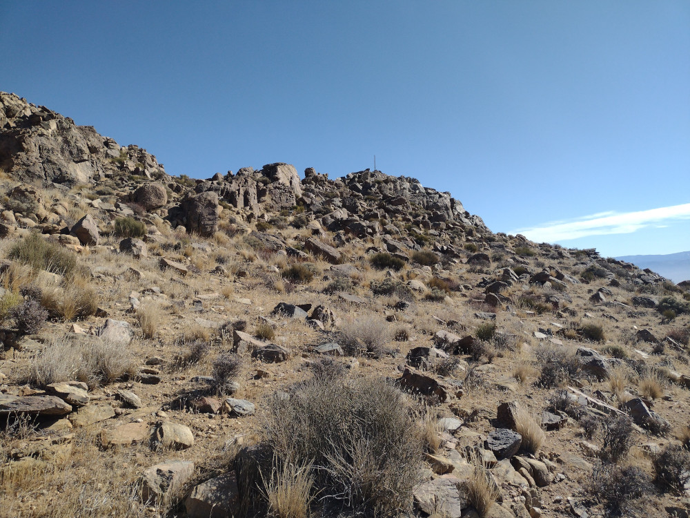
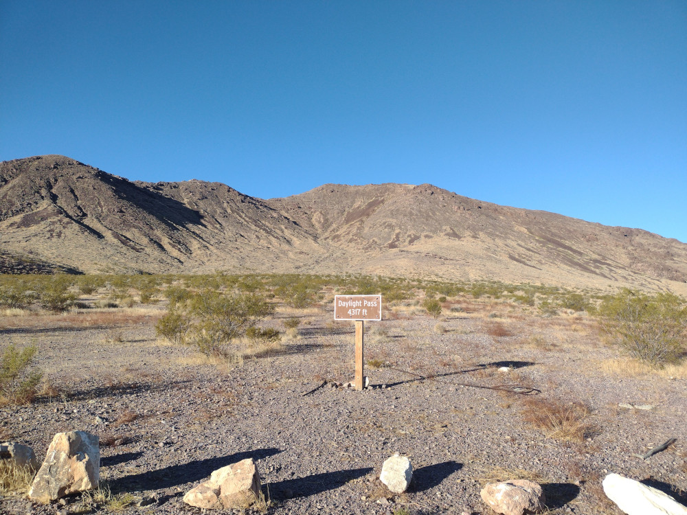
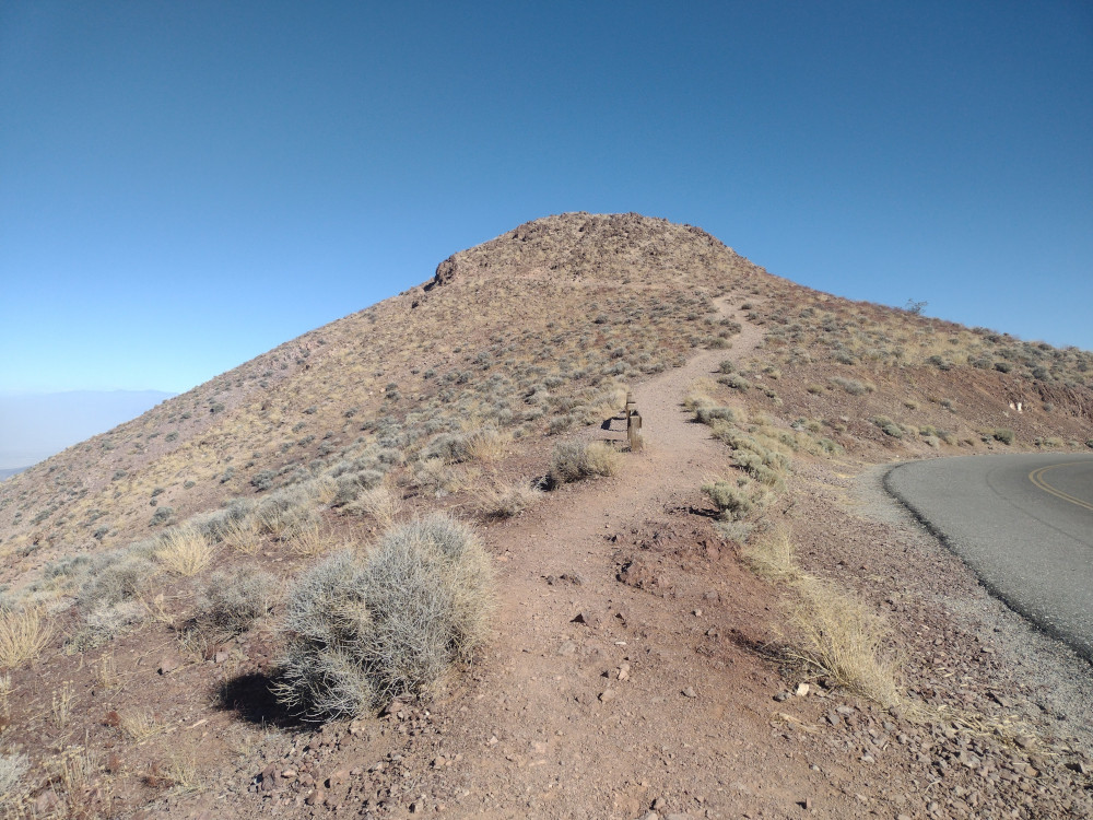
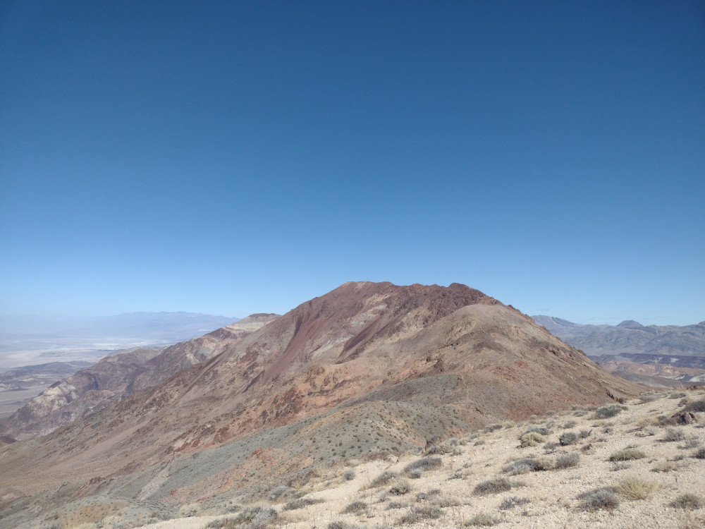
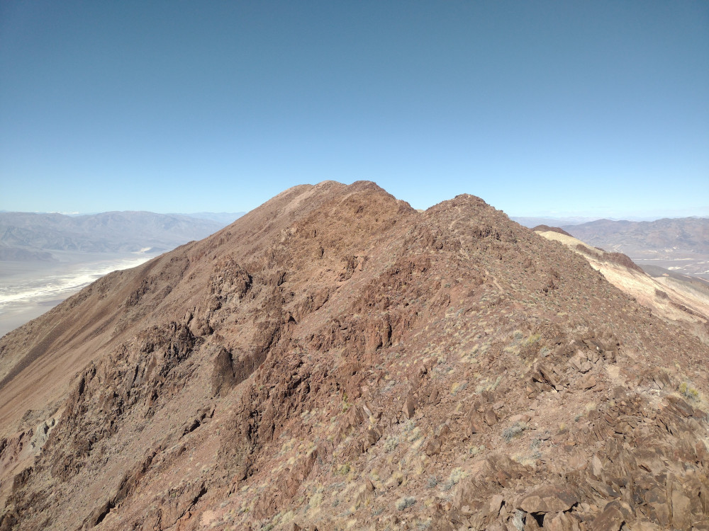
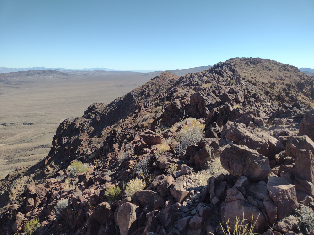
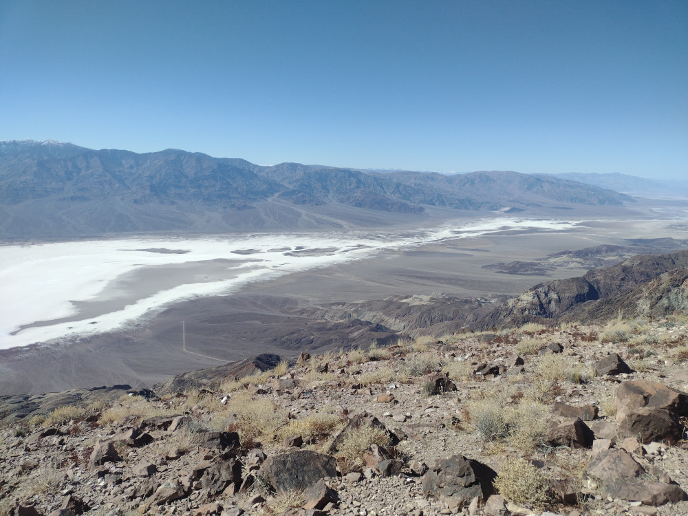
From Highway 190, take Dante’s View Road all the way to a large parking area. This is a pretty well known spot in Death Valley which offers stunning views of Badwater Basin and the Panamint Range. The summit of Dante Benchmark is just a short hike north of the parking area, and beyond that, Mount Perry, a little over 4 miles away on a well worn trail.
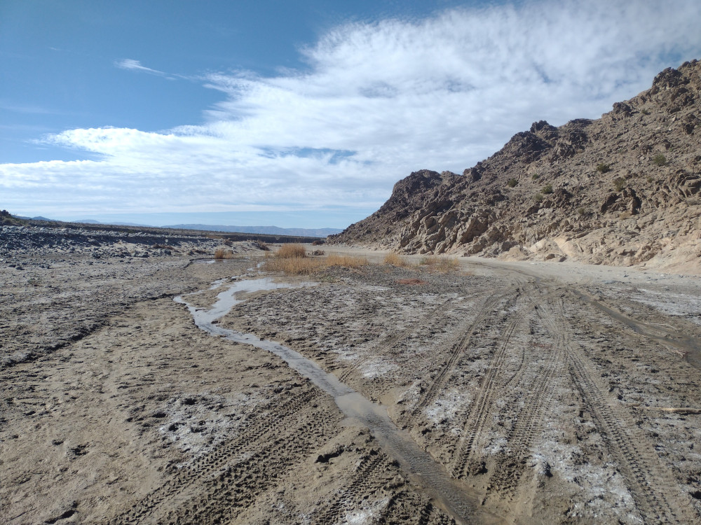
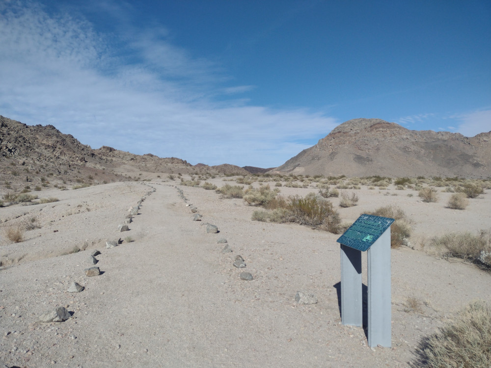
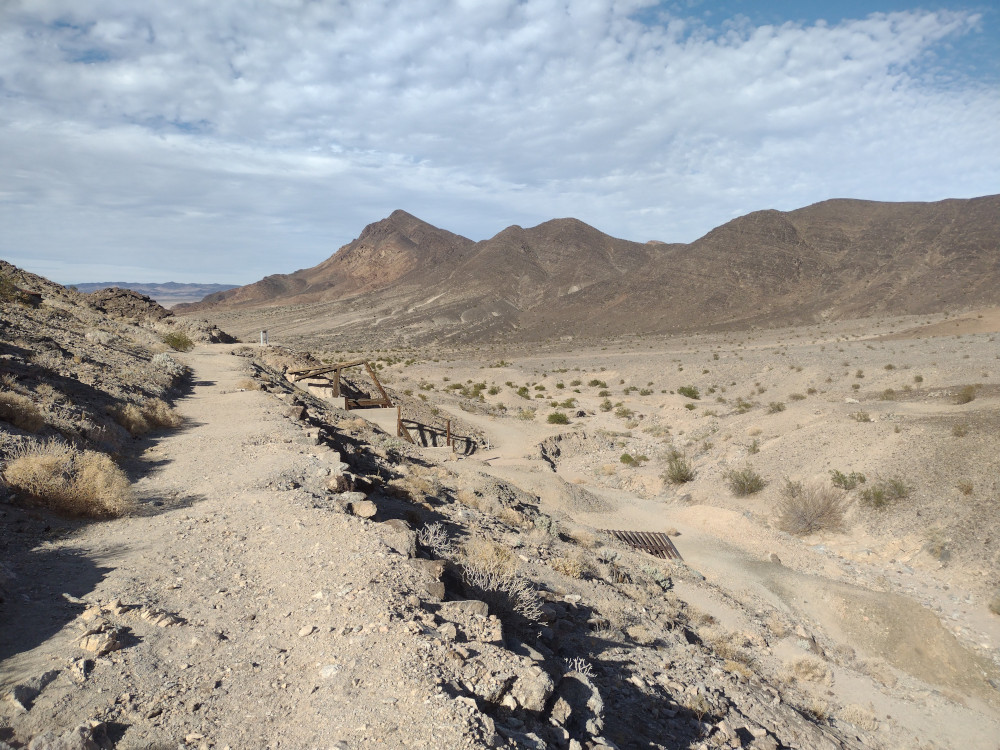
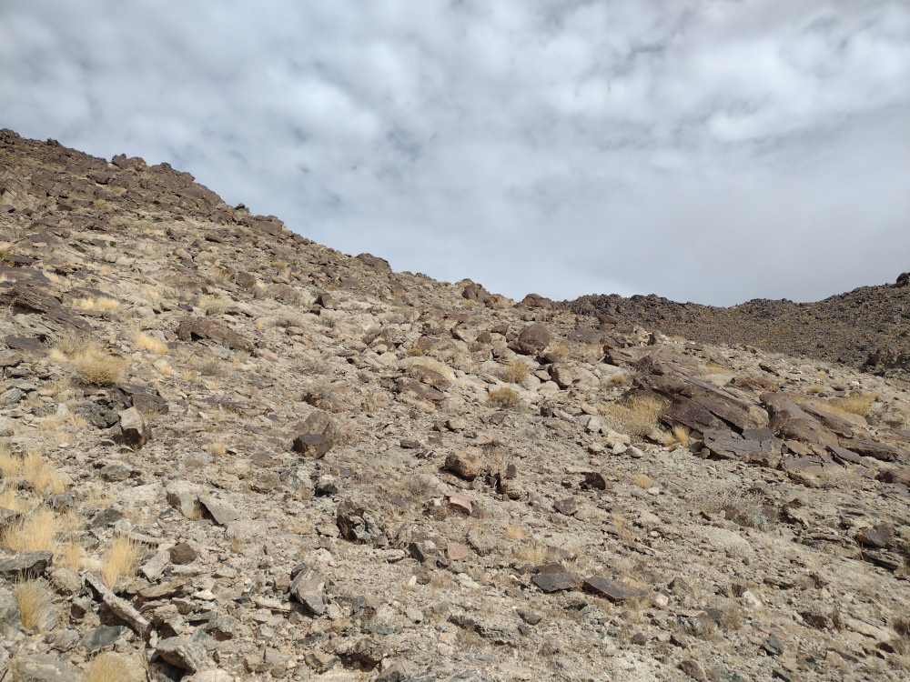
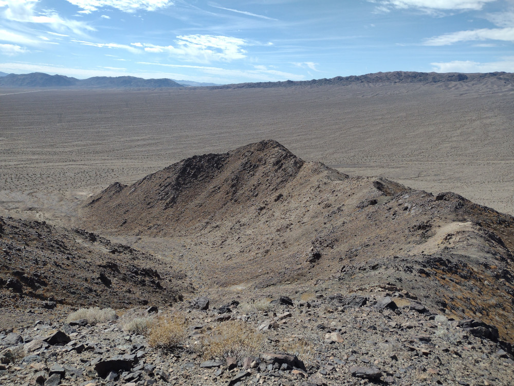
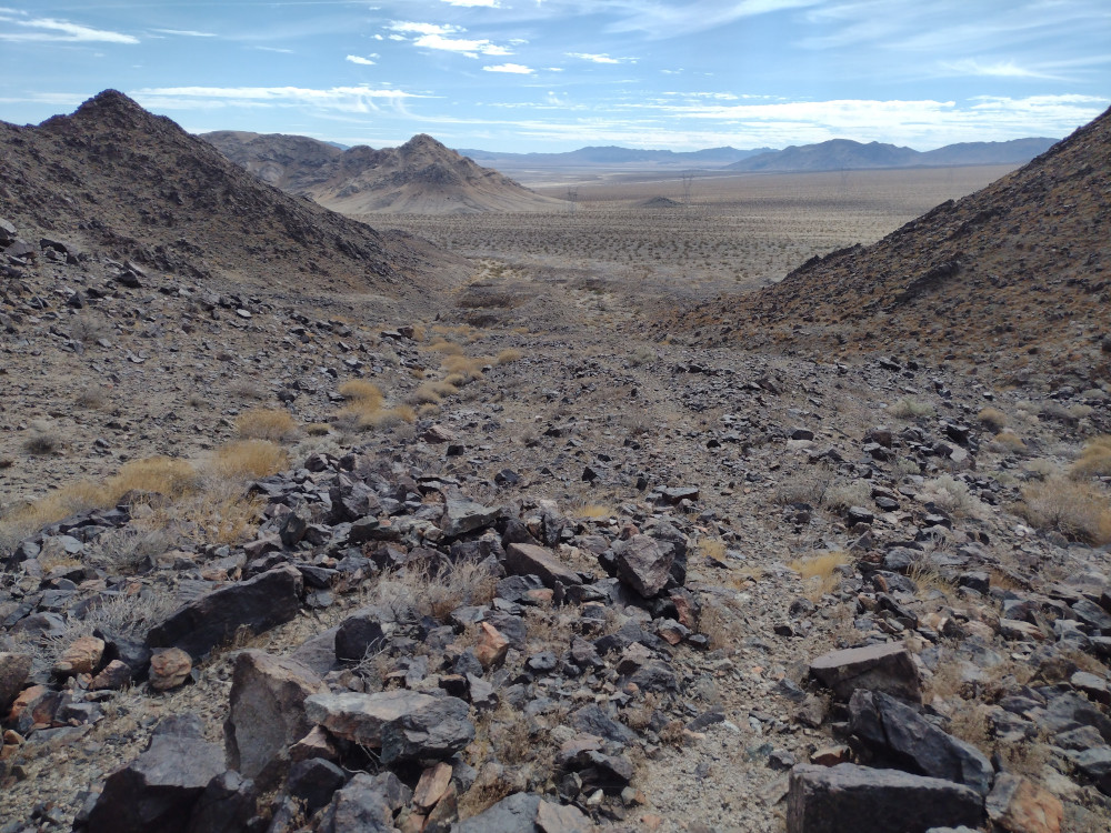
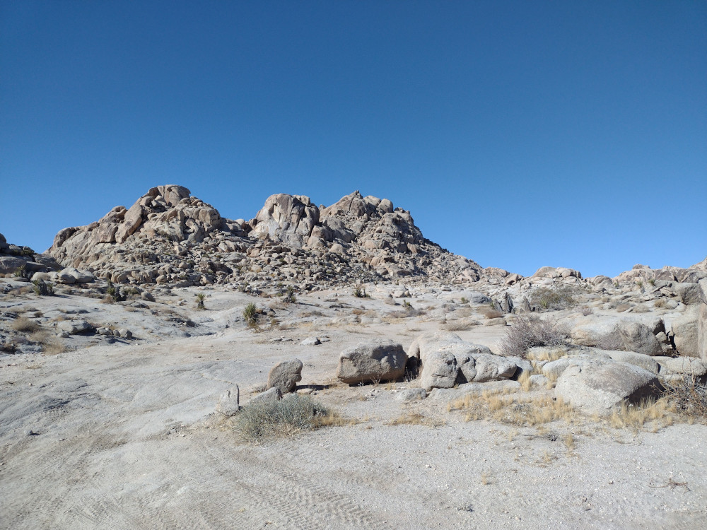
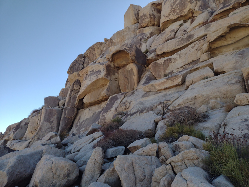
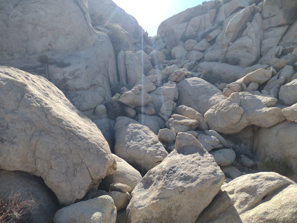
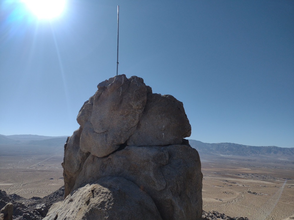
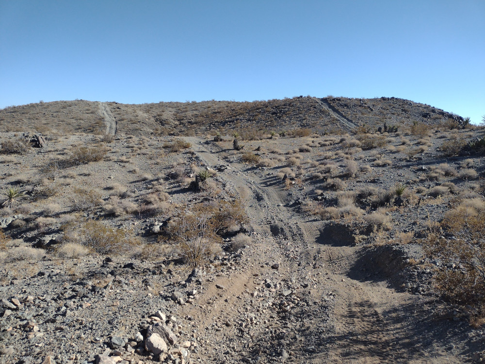
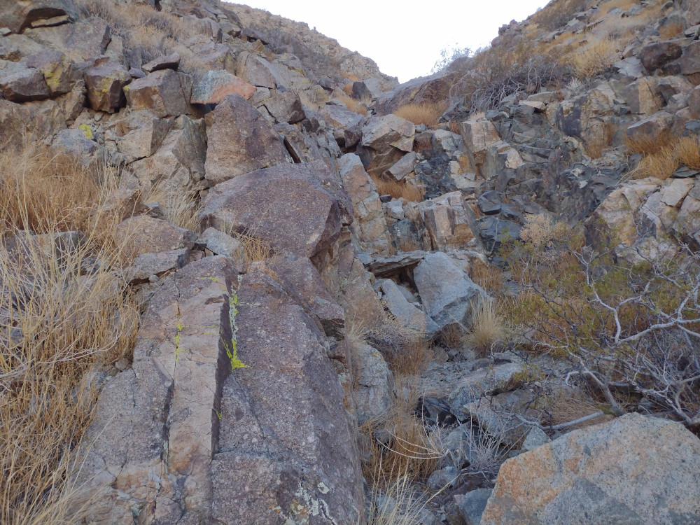
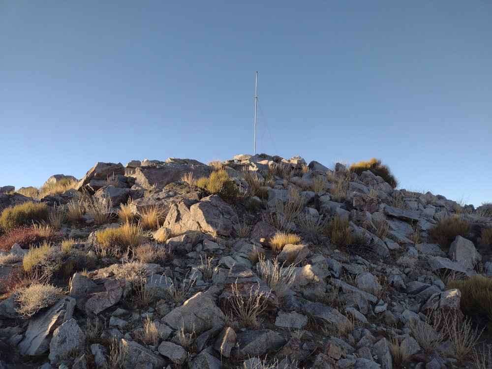
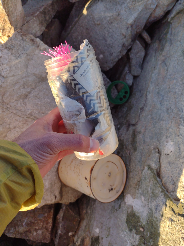
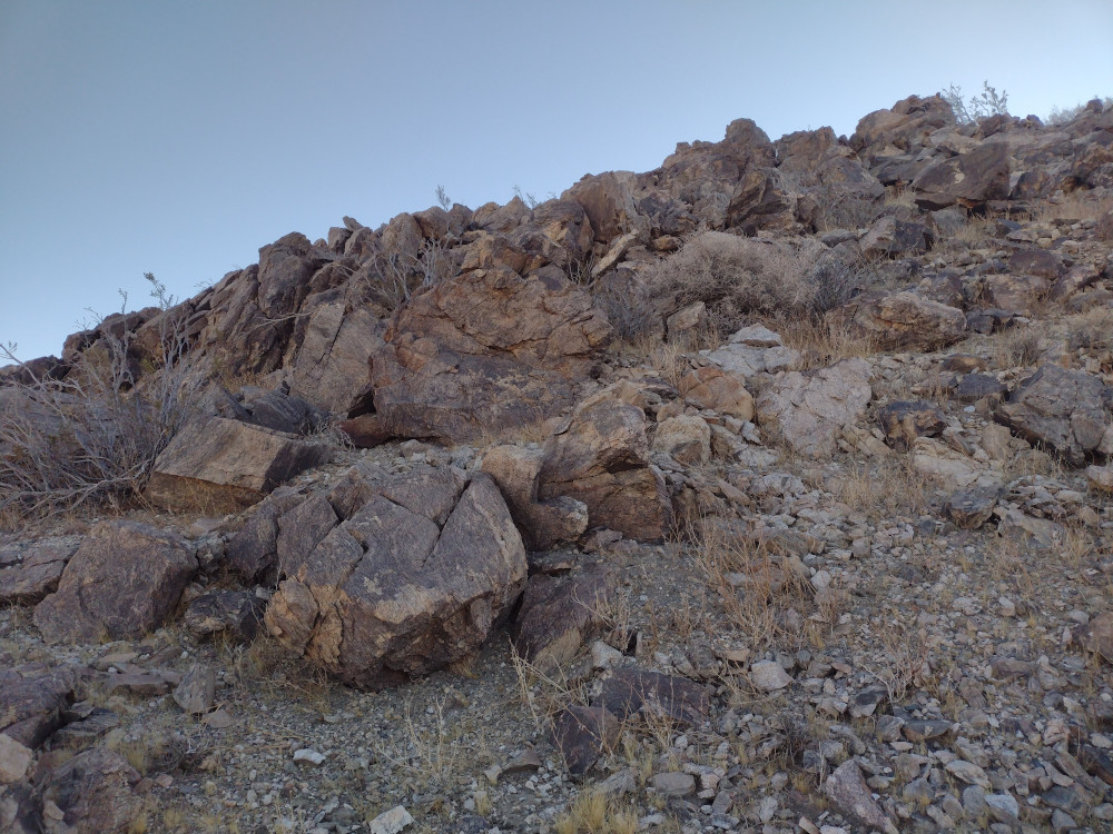
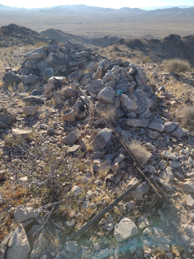
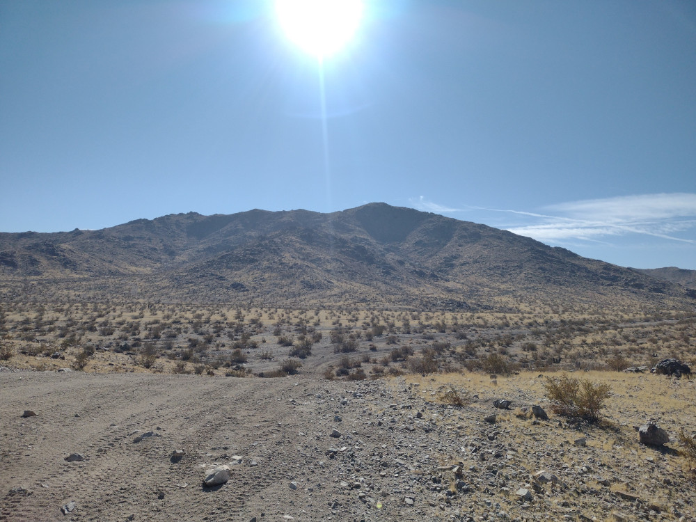
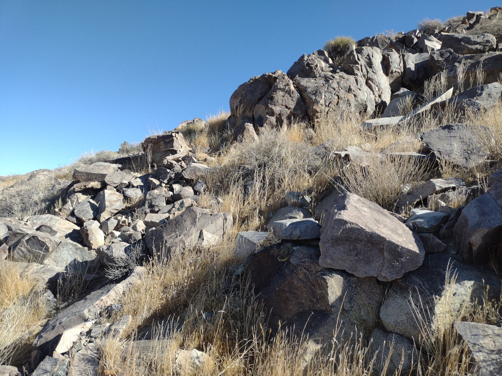
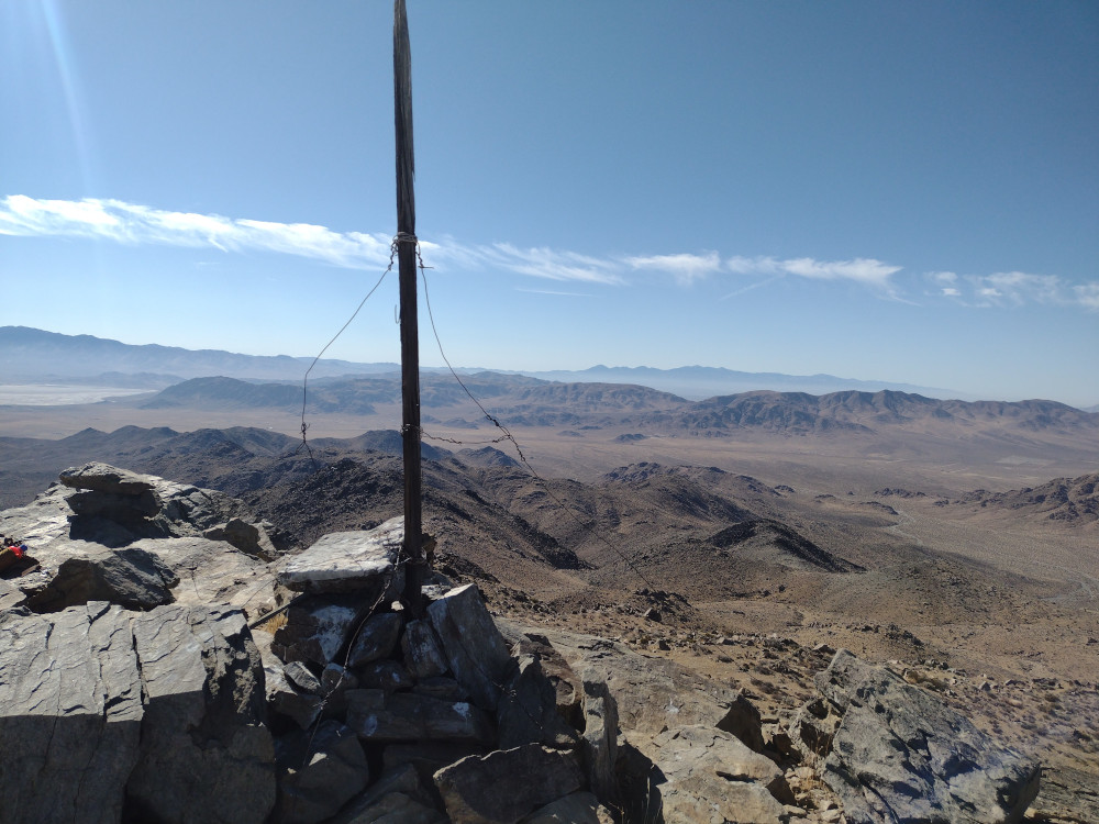
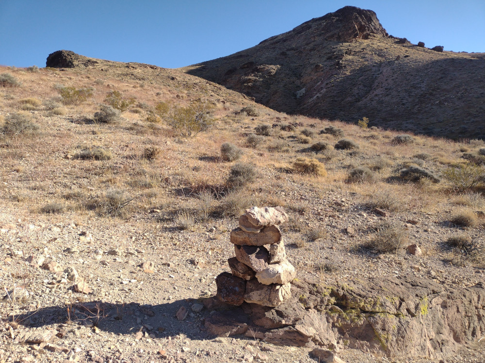
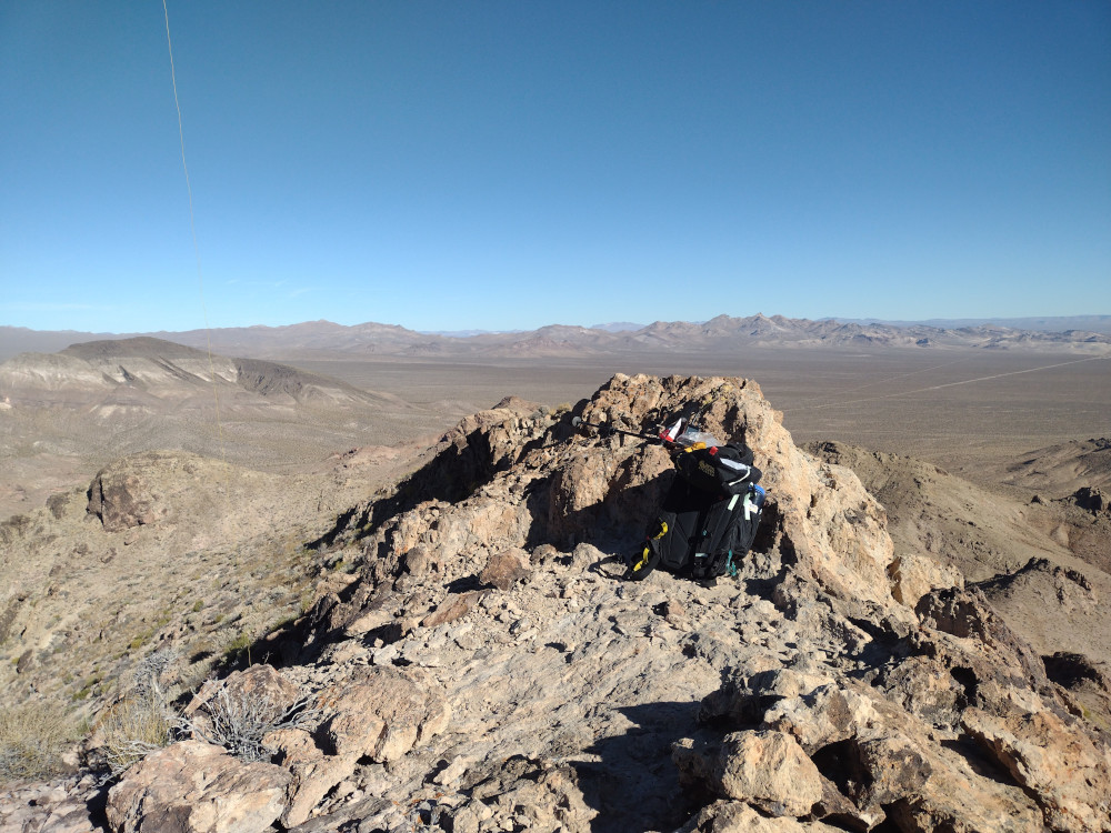
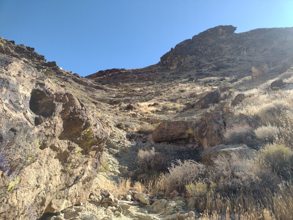
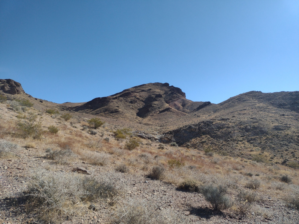
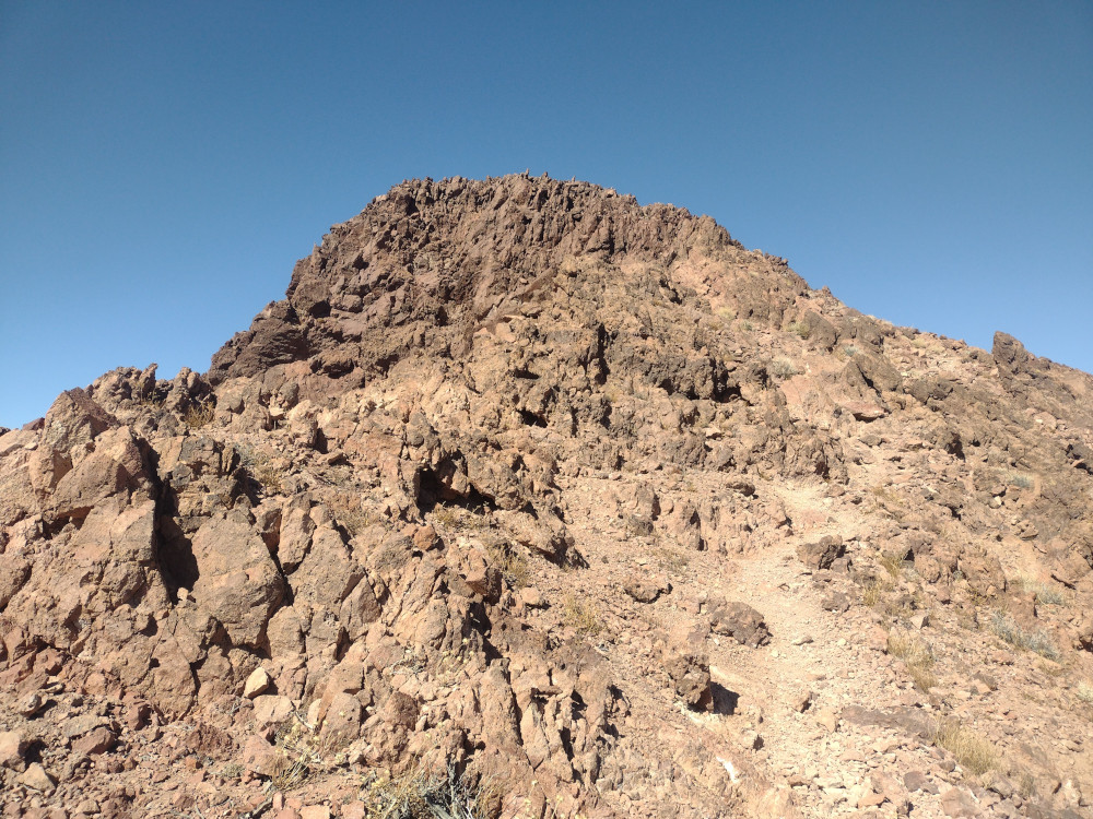
Like most of my hikes, I got up to the trailhead later than I would have liked. From there I wasted no time getting on the trail and away from the tourists on the pavement. It only takes about 5 minutes (or less) to get to the first summit, but my plan was to activate the furthest one first. The trail to Mount Perry is easy to follow, but you loose about 1,000 feet of elevation on the way there, before climbing another 1,000 feet back up. Near the summit the trail is a bit of a scramble. See .gpx file below. Once at the top I had the whole mountain to myself. I setup an EFHW and worked 15M and 7M CW, no S2S. After exhausting the initial round of chasers I packed up and headed back to Dante Benchmark.
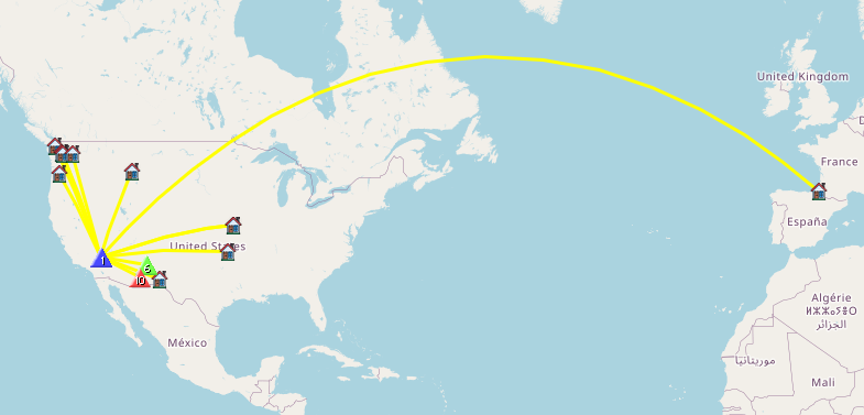
https://sotl.as/summitRidges/W6/ND-142
Total climbing: 2493 ft
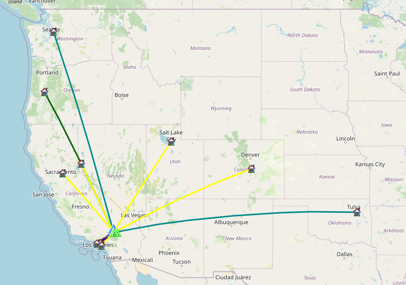
Date:20/02/2025 | Summit:W6/ND-142 (Mount Perry)
| Time | Callsign | Band | Mode | Notes |
|---|---|---|---|---|
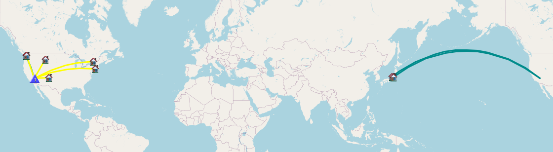
| 20:47 | WB6POT | 7MHz | CW | S57N R57N |
| 20:48 | KN6DMO | 7MHz | CW | S57N R55N |
| 20:49 | W6LEN | 7MHz | CW | S58N R599 |
| 20:50 | K6HPX | 7MHz | CW | S57N R54N |
| 20:51 | K1CT | 7MHz | CW | S58N R52N |
| 20:52 | AE7I | 7MHz | CW | S57N R57N |
| 20:52 | W6TDX | 7MHz | CW | S55N R54N |
| 20:54 | WB7ULD | 7MHz | CW | S57N R53N |
| 21:05 | WW7D | 21MHz | CW | S58N R56N |
| 21:05 | W0MNA | 21MHz | CW | S57N R57N |
| 21:06 | W0ERI | 21MHz | CW | S57N R57N |
| 21:08 | NU7A | 21MHz | CW | S55N R55N |
| 21:08 | N7ITU | 21MHz | CW | S57N R57N |
| 21:09 | 7N1FRE | 21MHz | CW | S55N R41N |
| 21:10 | AK5SD | 21MHz | CW | S58N R55N |
| 21:12 | WU7H | 21MHz | CW | S58N R55N |
| 21:12 | W9UUM | 21MHz | CW | S57N R53N |
| 21:14 | N4EX | 21MHz | CW | S55N R53N |
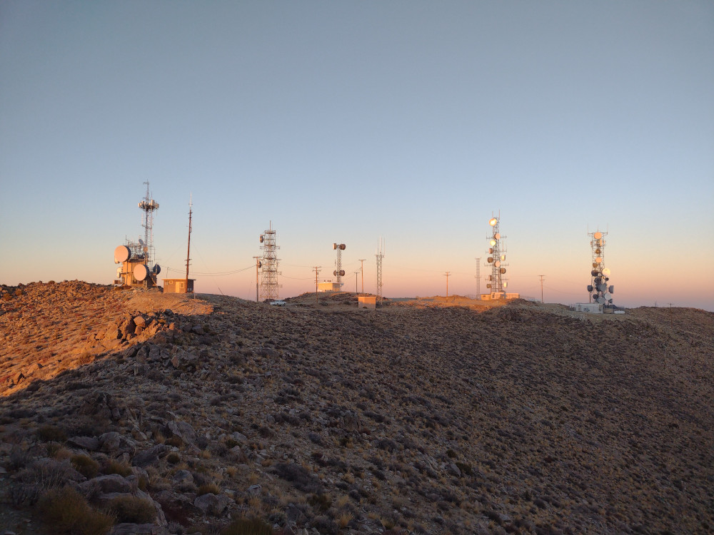
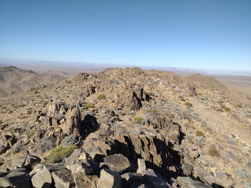
I made it back to Dante Benchmark 30-ish minutes before UTC turnover and was feeling pretty scorched from wind and sun exposure. I was also pretty hungry. Not wanting to setup a full sized antenna, I found a nice rock near the top to sit on, and used a KH1 with the internal whip to make contacts on 17M CW. By the time I was getting back to the truck the sun was setting and the cold desert temperatures were creeping in.
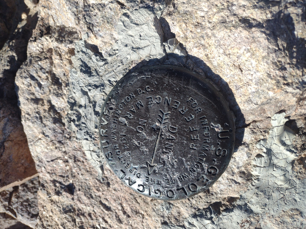
https://sotl.as/summits/W6/ND-144
Date:20/02/2025 | Summit:W6/ND-144 (Dante Benchmark)
| Time | Callsign | Band | Mode | Notes |
|---|---|---|---|---|
| 23:35 | WW7D | 18MHz | CW | S599 R56N |
| 23:35 | N4DSH | 18MHz | CW | S53N R44N |
| 23:36 | W1UL | 18MHz | CW | S55N R55N |
| 23:37 | WU7H | 18MHz | CW | S53N R53N |
| 23:38 | W0MNA | 18MHz | CW | S57N R56N |
| 23:38 | W0ERI | 18MHz | CW | S57N R57N |
| 23:40 | JG0AWE | 18MHz | CW | S22N R22N |
| 23:40 | NU7A | 18MHz | CW | S55N R33N |
| 23:41 | W5GDW | 18MHz | CW | S56N R44N |