W6/CT-024 – Iron Mountain

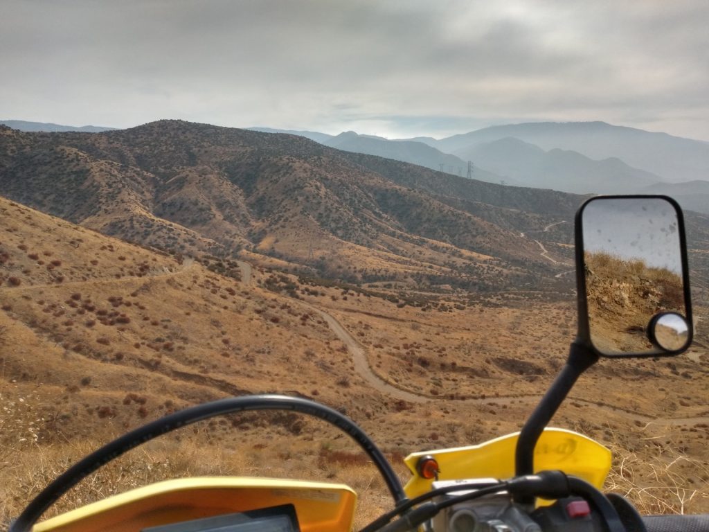
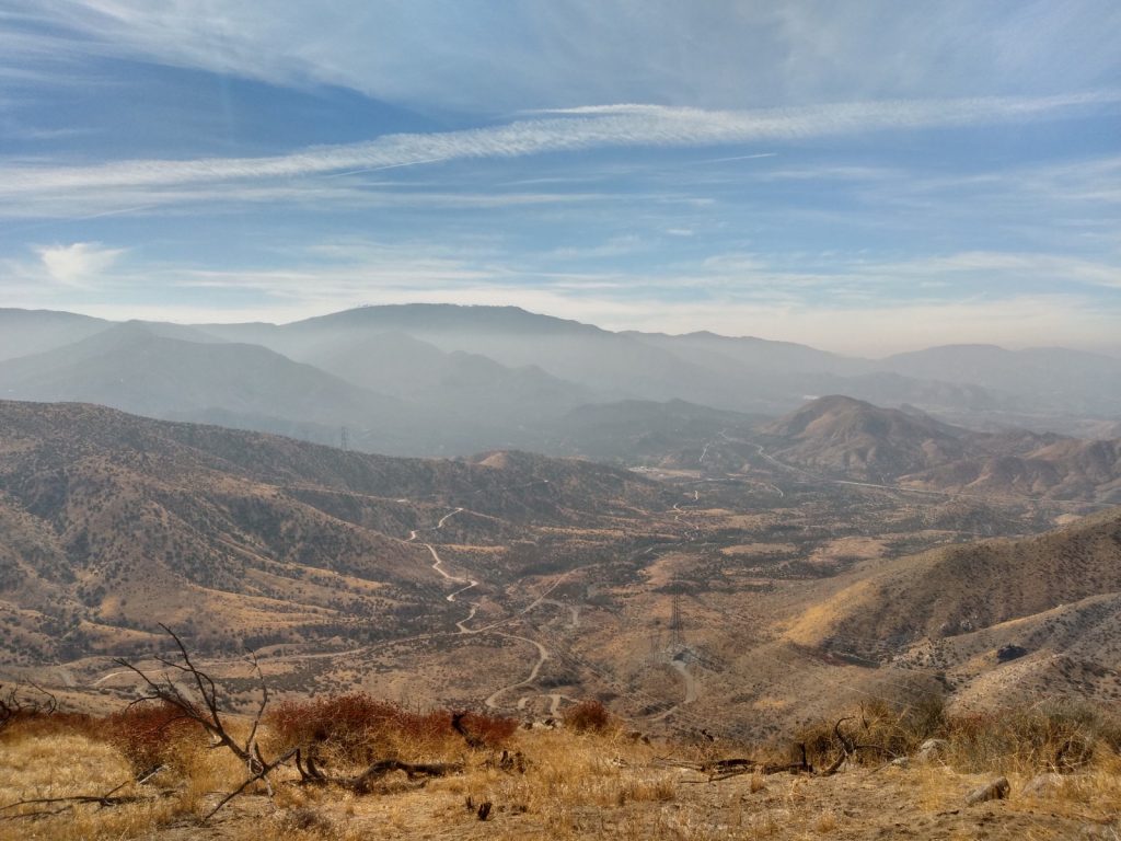
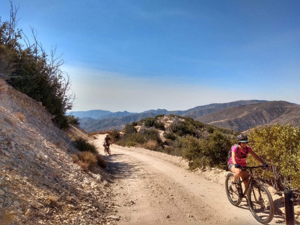
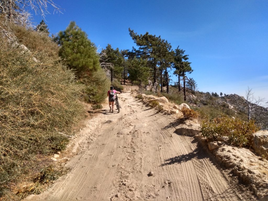
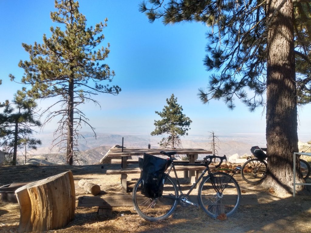
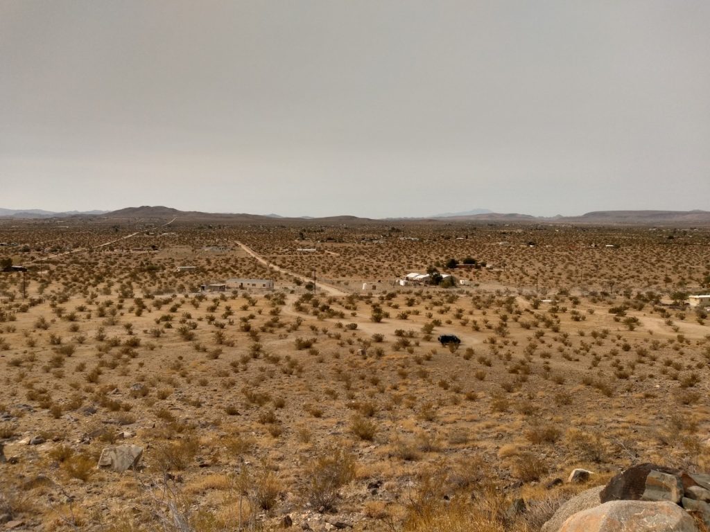
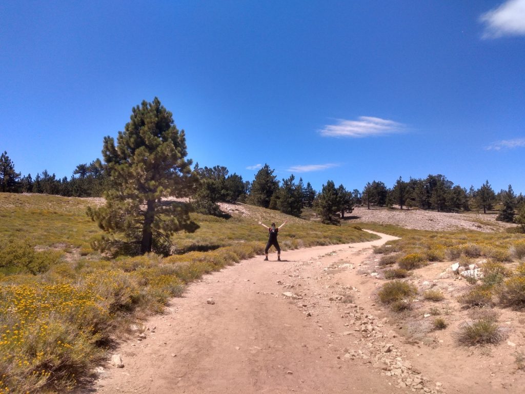
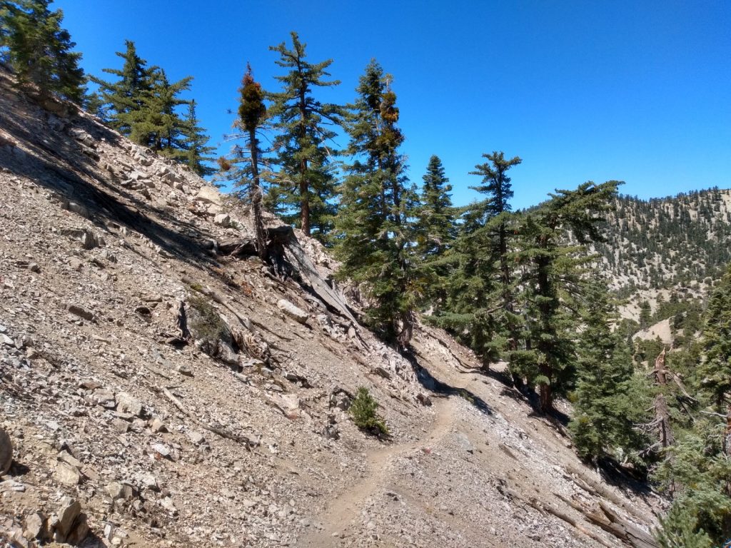
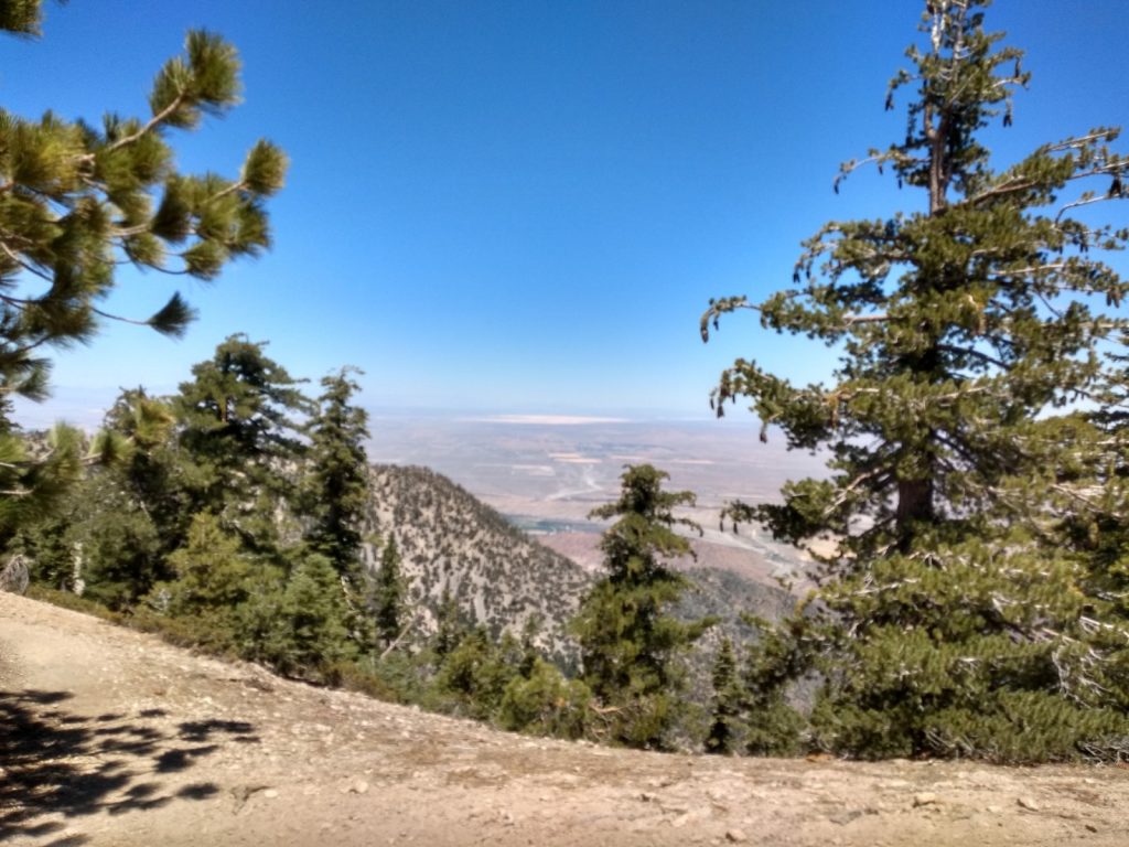
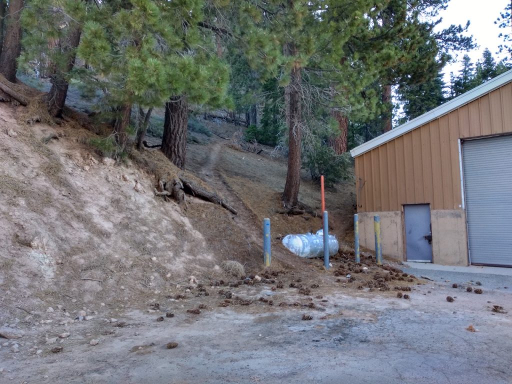
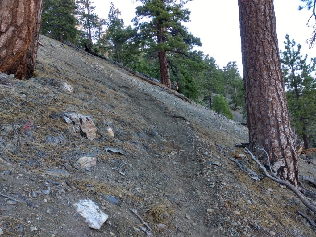
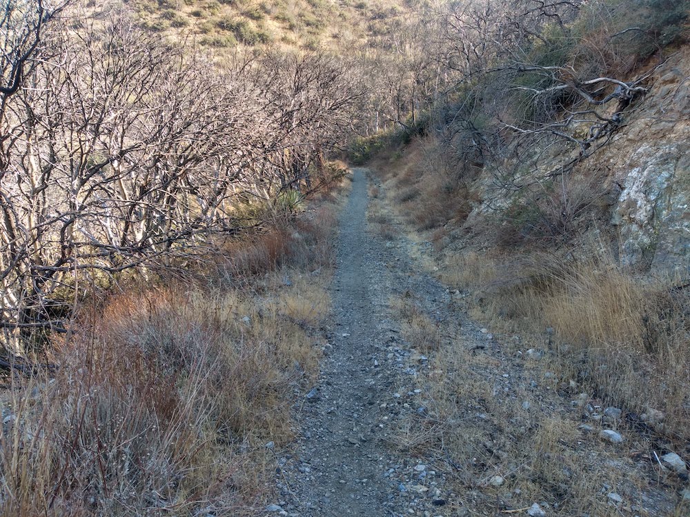
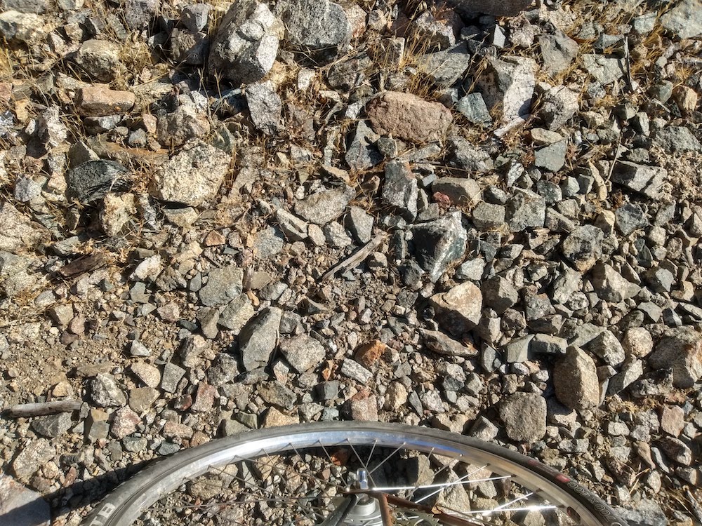
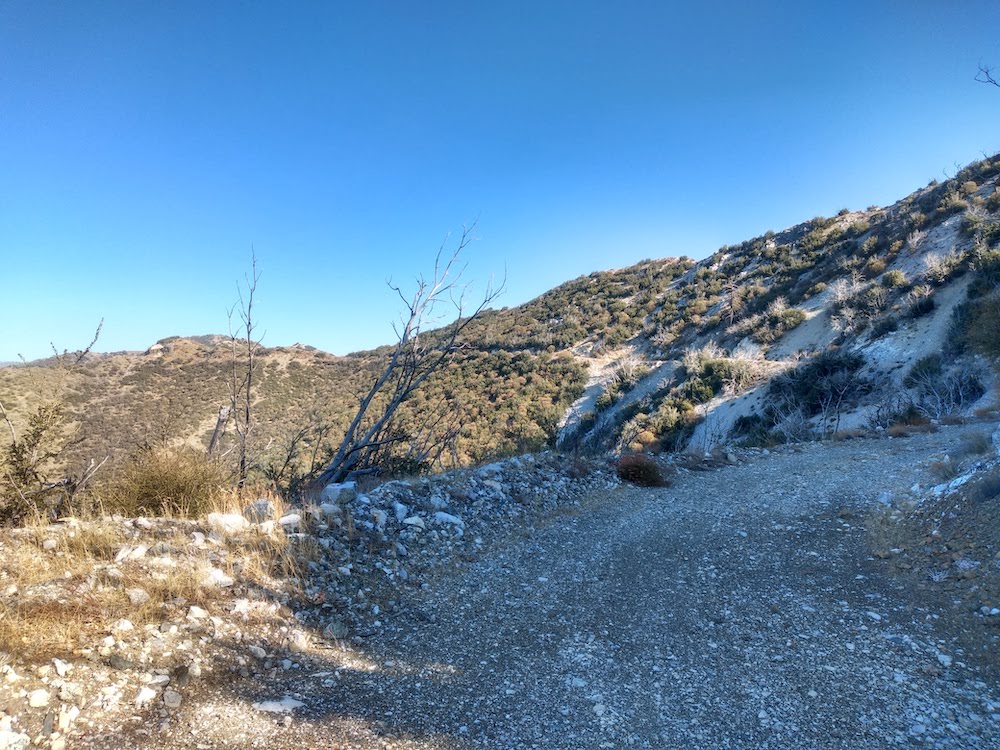
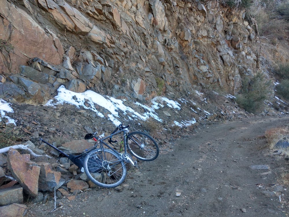
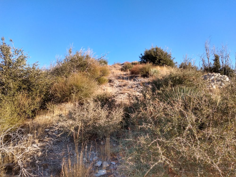
Iron Mountain is one of those summits in Southern California which hasn’t been activated too many times, and for a good reason. It’s a long hike, or in my case, a long, hard bicycle ride. I started at Dillon Divide full of energy ready to tackle the summit around 11am, but quickly found this bike ride to be laborious, not because of the distance or the uphill grade, but because the road was covered in rocks ranging in size from a softball, to large marbles. Trying to put any kind of effort into the rear wheel resulted in a tire without traction. In the worst spots on the trail, the front wheel was bobbing around left and right, looking for traction as well! Needless to say, I had to push the bike up most of the way.

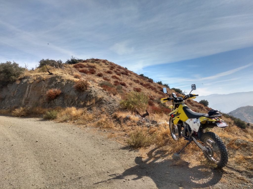
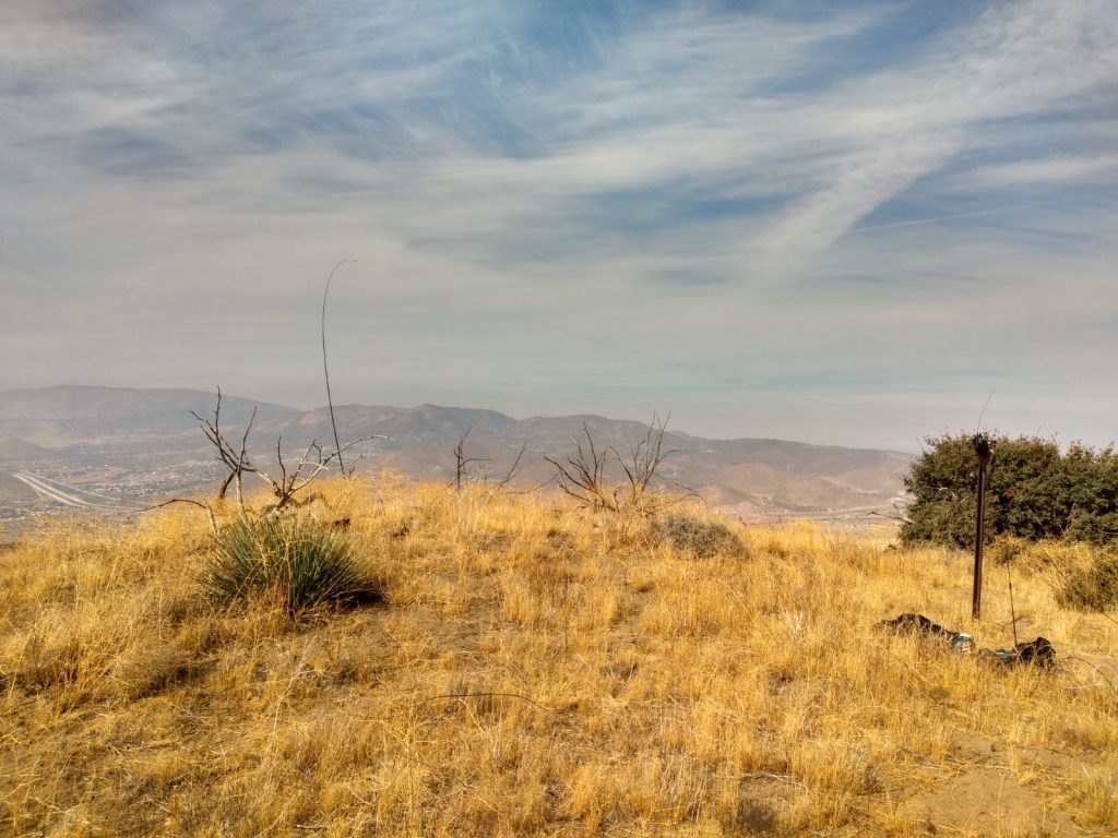
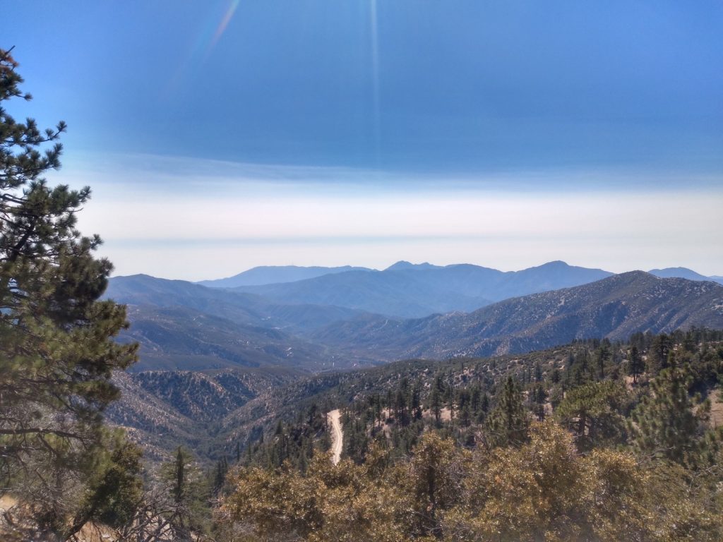
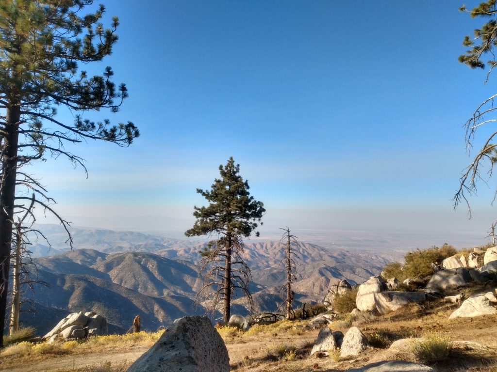
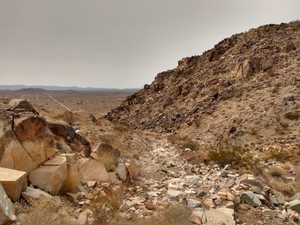
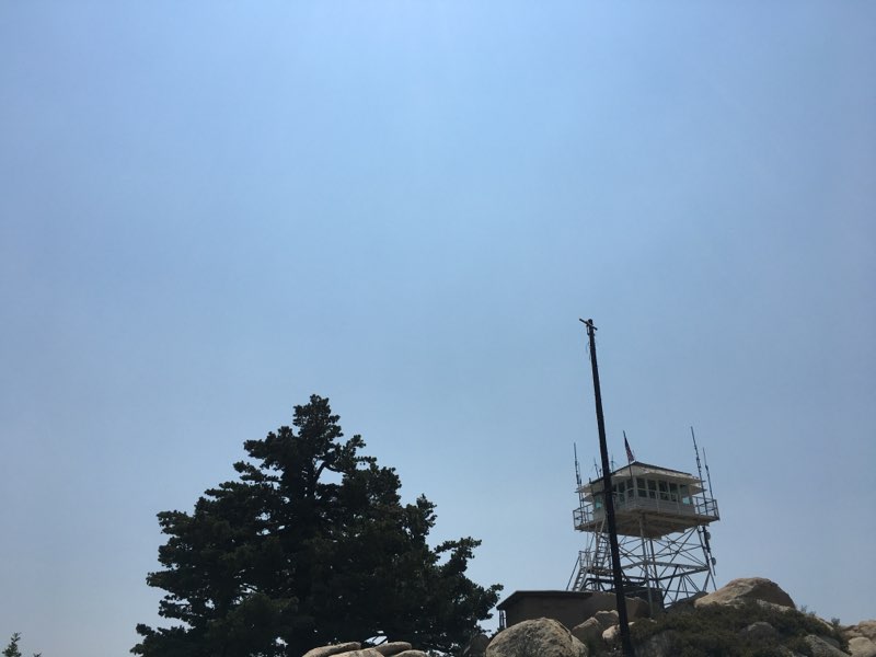
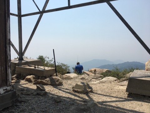
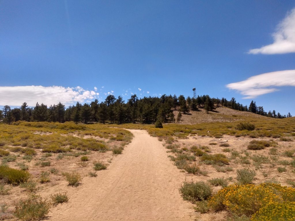
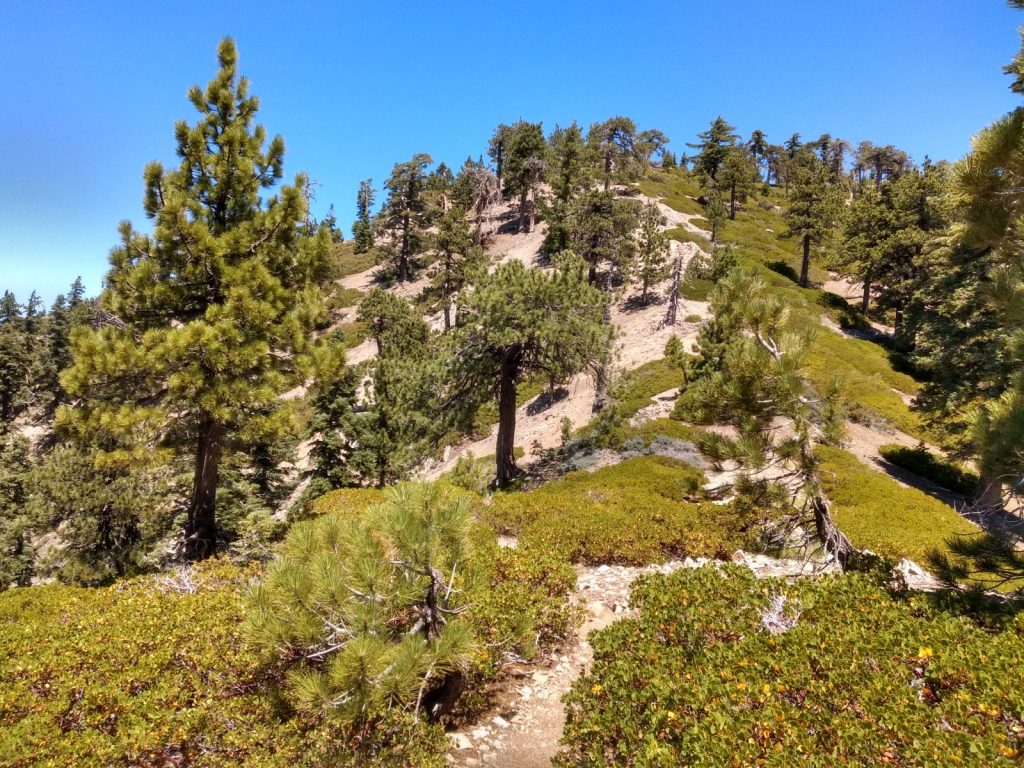
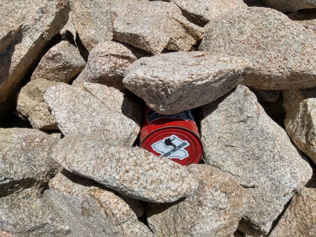
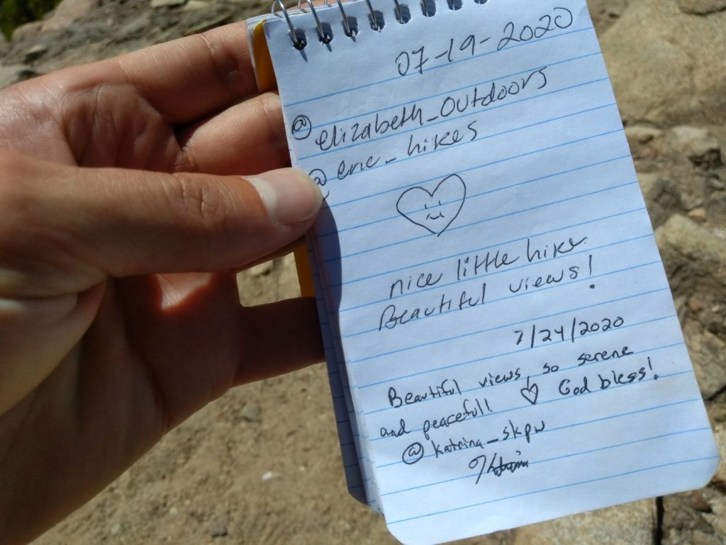
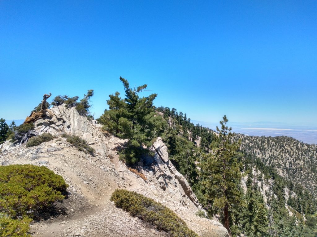
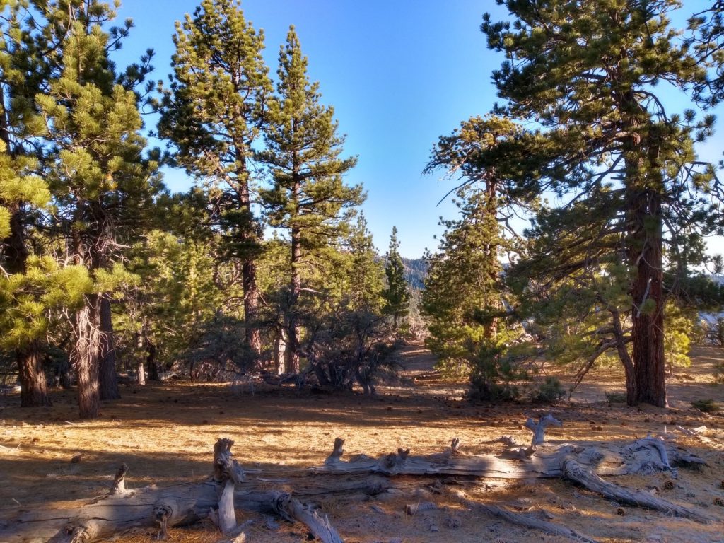
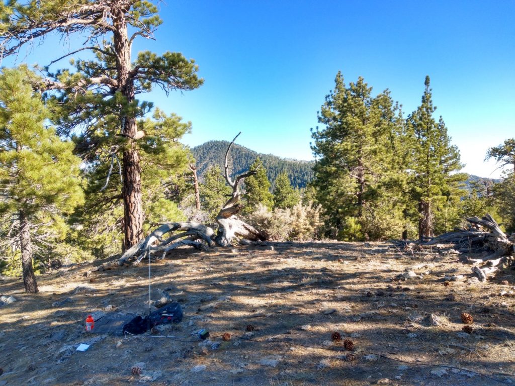
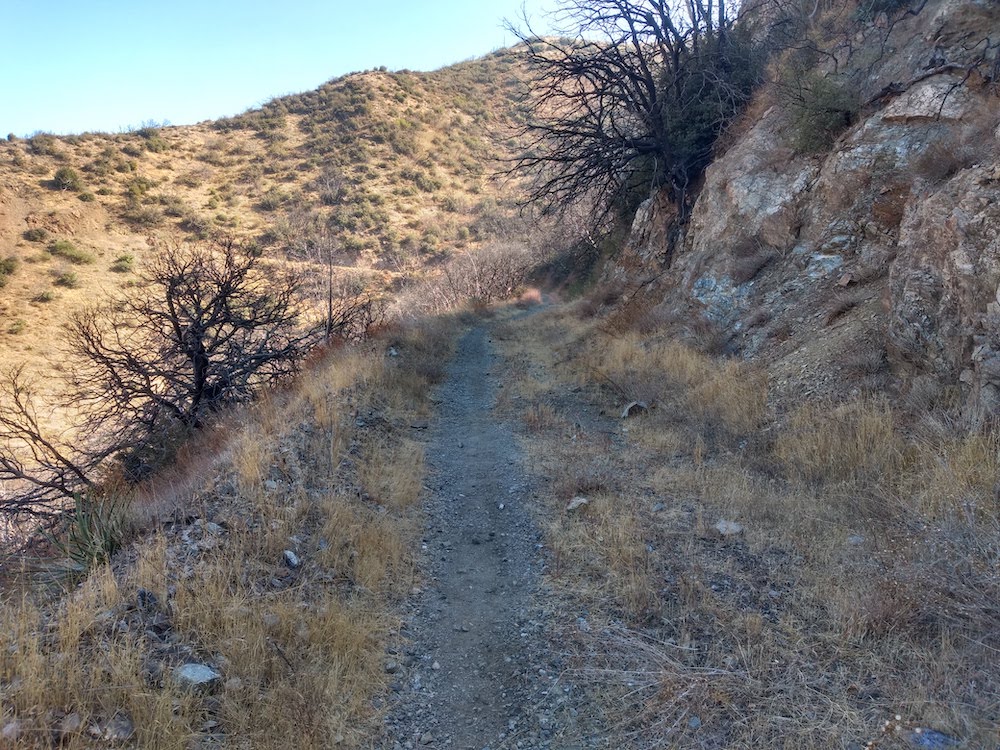
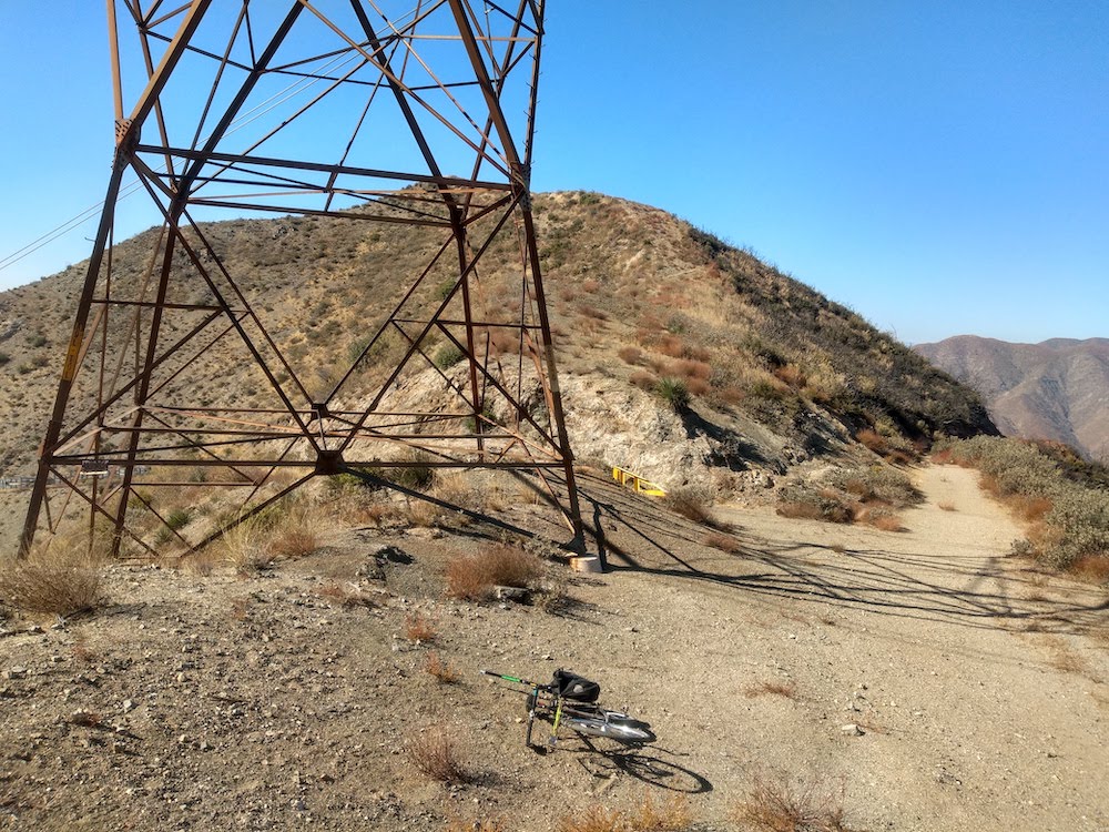
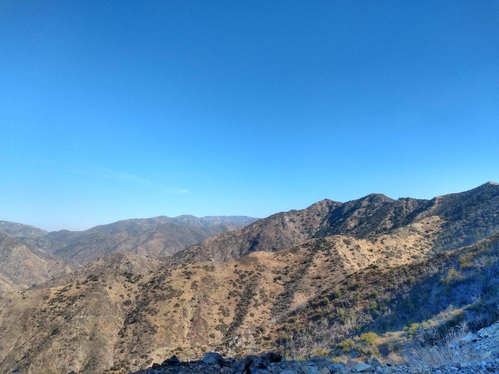
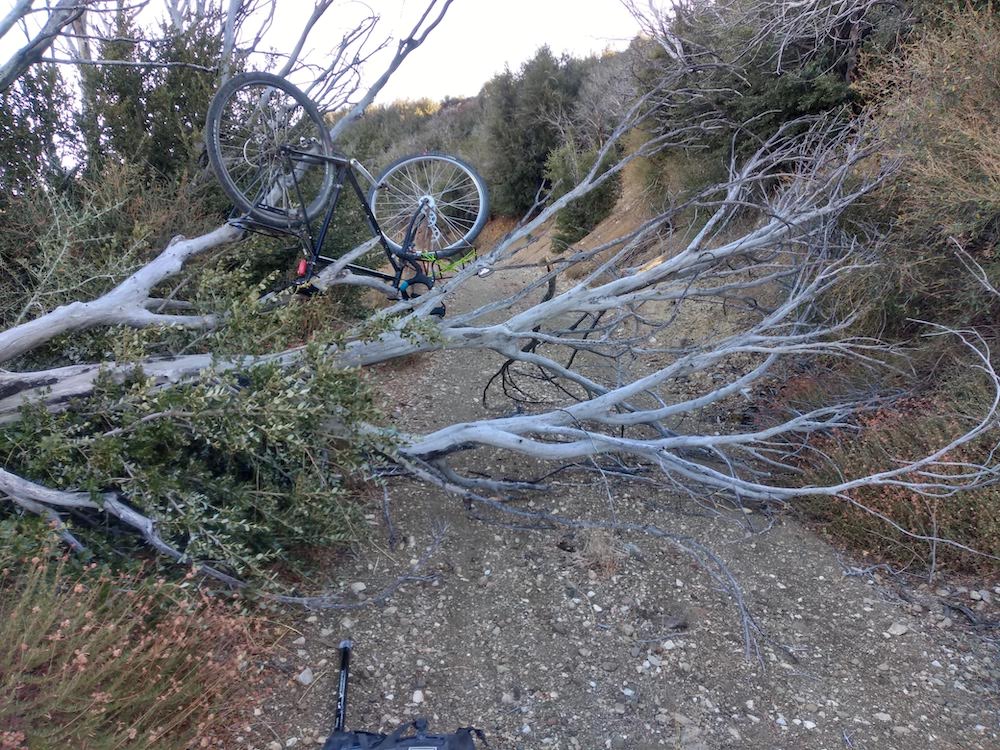
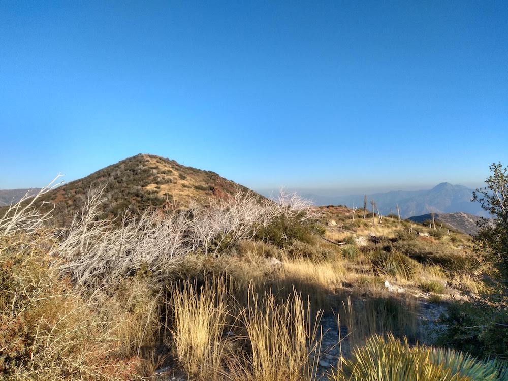
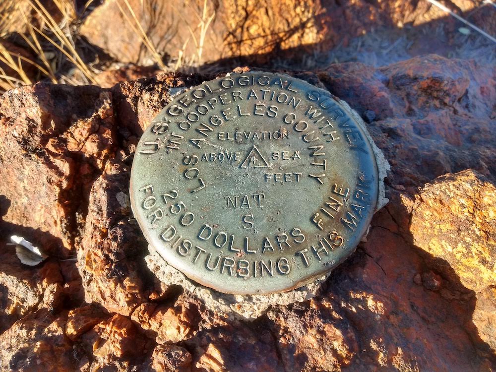
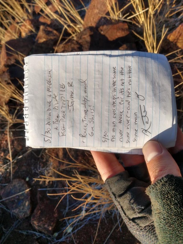
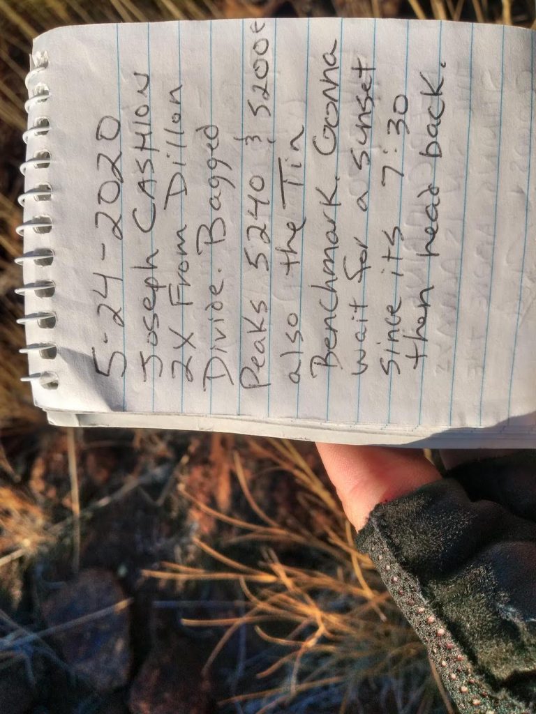
Fallen trees and rock slides along the way made this hike with a bike more difficult. After a few hours of climbing over fallen trees, through deep gravel – wanting to give up and turn around, I made it to the bottom of the summit. Of course, I didn’t do any research on how to actually get to the top so I spent some time looking at contour maps to find the least steep route. This turned out to be an old fire break, which was quite over grown and not really visible. At the top, the benchmark was easy to find. I signed the summit log, which was last signed in May.

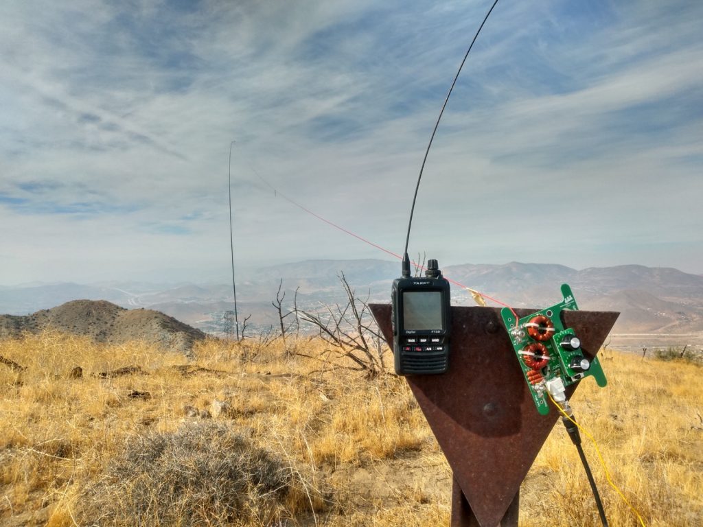
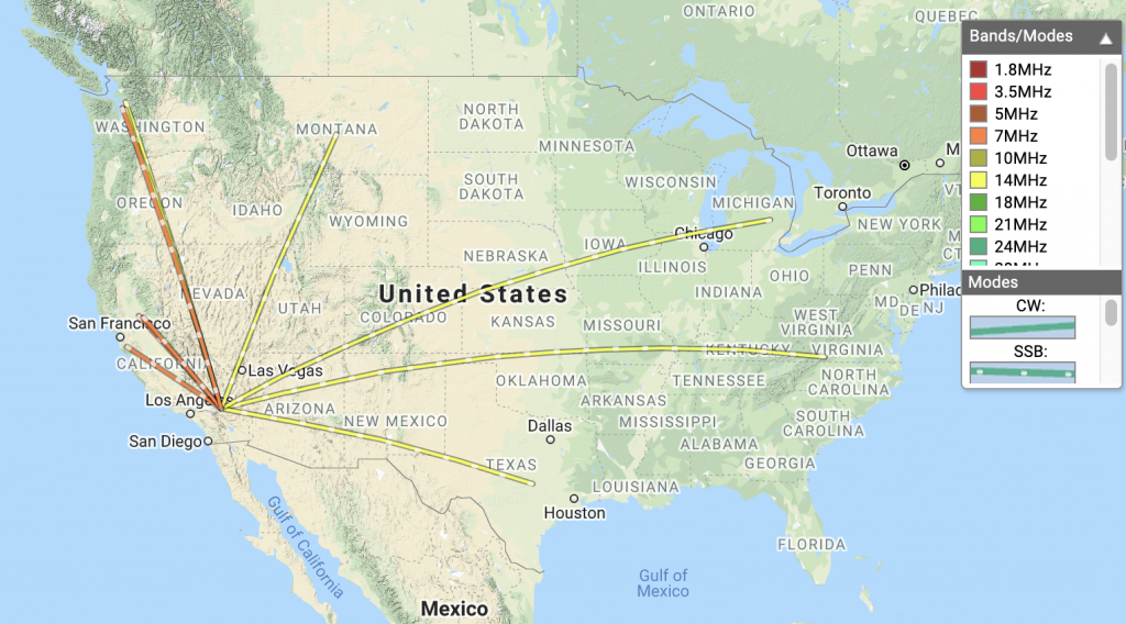
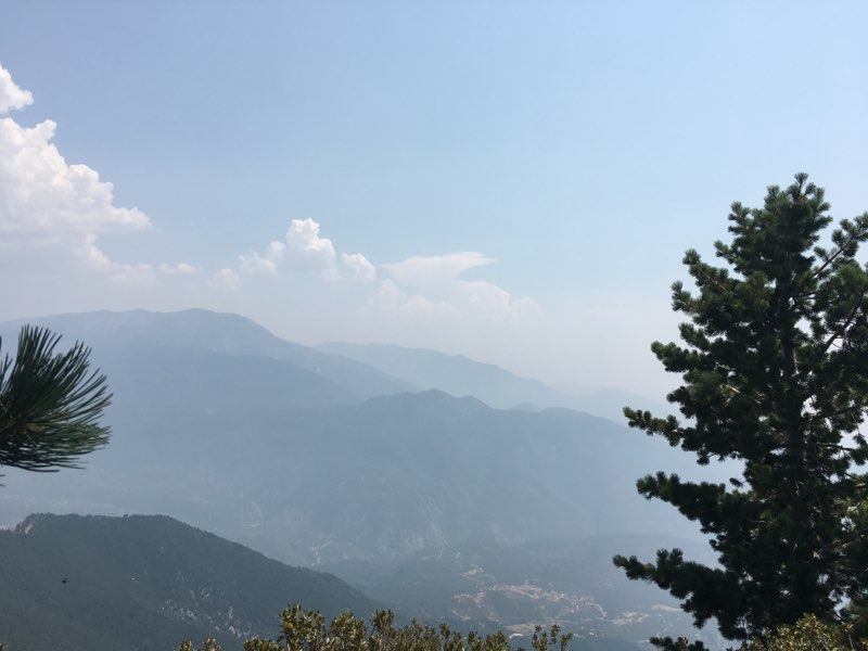
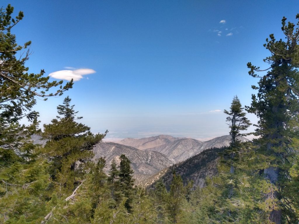
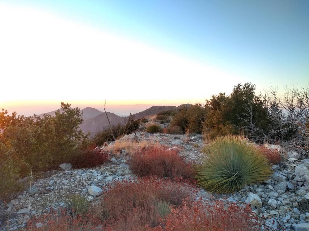
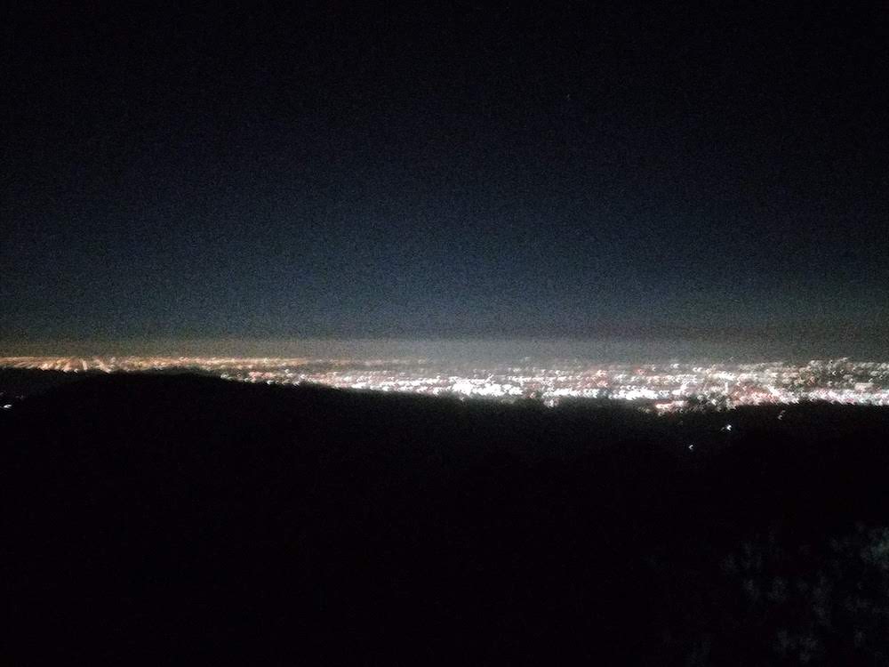
Daylight was running out quickly, so I setup my station as fast as I could and made enough HF contacts to qualify the summit, switching over to VHF for additional contacts while breaking down the long wire antenna. As the sun started to dip below the horizon, I started the hike down to my bike, which I left near the road up. It was twilight, but the bike I was riding has a dynamo front wheel that generates light. Going downhill was somewhat easier than going up. You see, I’m riding a bike with somewhat skinny tires and brakes that don’t work well at all. This trip would have been better on a different bike! About a quarter of the way down, it was pitch black. Ten miles plus endless switchbacks and large rock dodging, in addition to severely cramped hands and not enough light required laser focused concentration, but I made it down safely, with all my gear – tired, beat up, cold and hungry. All in all, this was pretty tough and I can’t wait to do it again.

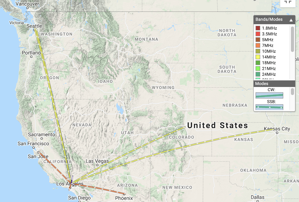
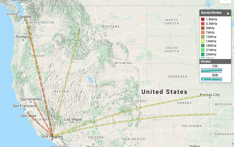
https://sotl.as/summits/W6/CT-024

Total distance: 23.34 mi
Total climbing: 5037 ft
Download file: Iron%20Mountain.GPX

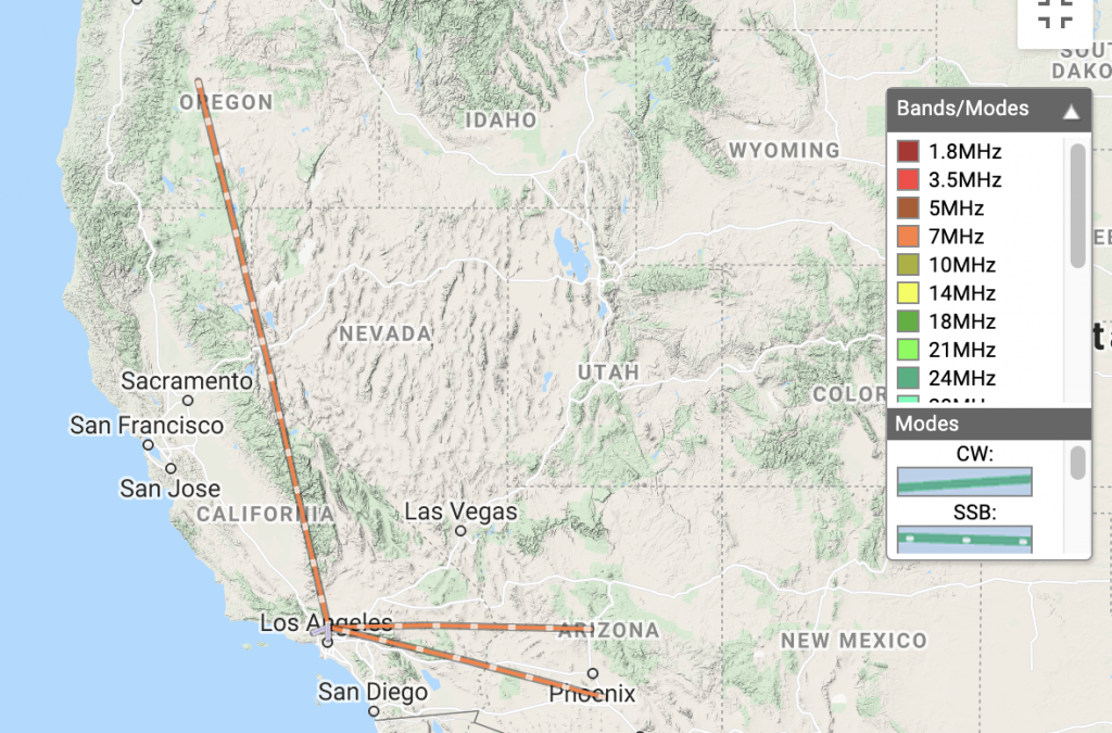
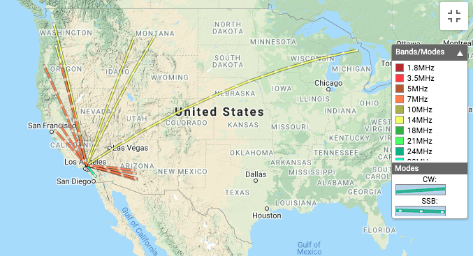
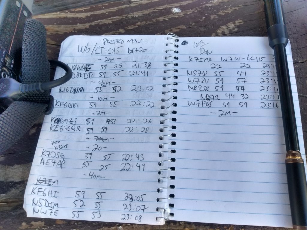
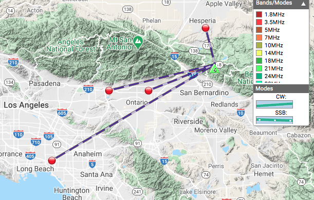
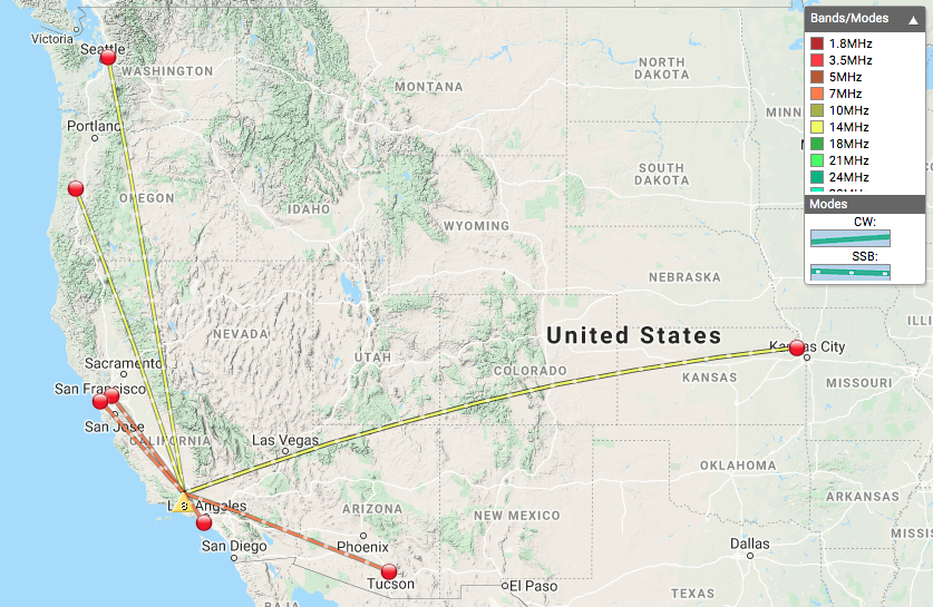
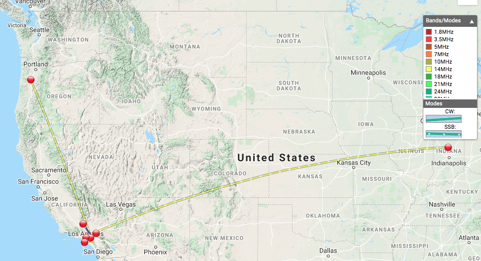
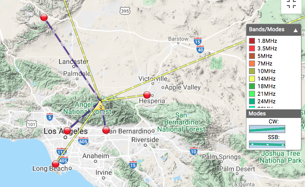
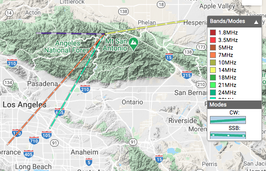
Date:14/11/2020 | Summit:W6/CT-024 (Iron Mountain)

TimeCallsignBandModeNotes
00:04KB7JJG7MHzSSB59 52
00:05NW7E7MHzSSB59 53
00:06N0RSR7MHzSSB55 55
00:18NE6R14MHzSSB59 59
00:25KN6LBJ144MHzFM
00:26WB2WIK144MHzFM
00:27KK6TLN144MHzFM
00:28W1SAV144MHzFM
00:28KI6PMD144MHzFM
00:31KK6TDU433MHzFM
Gate at Dillon Divide

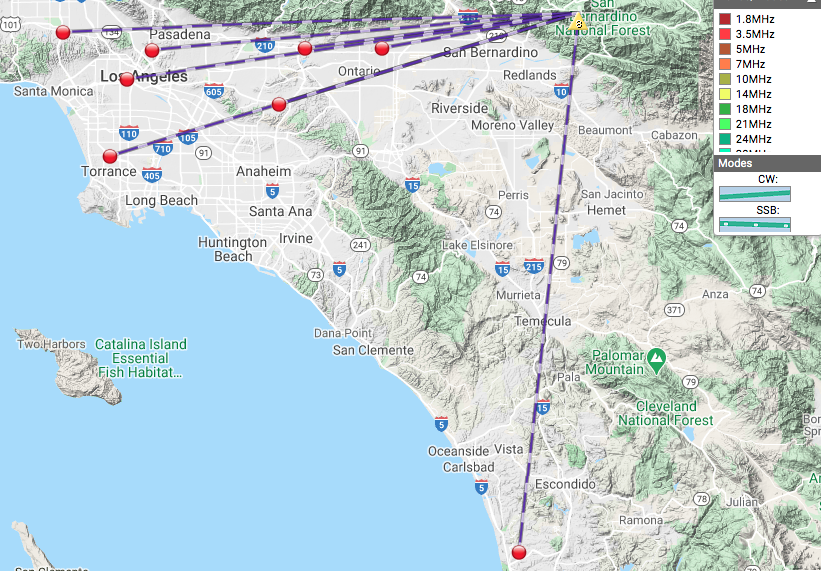
UPDATE! May 31st, 2021

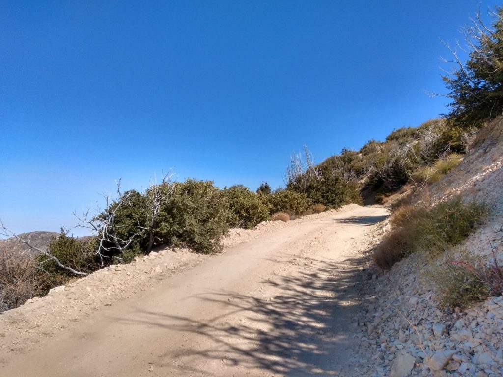
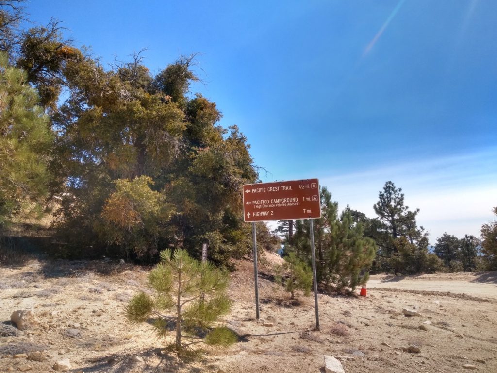
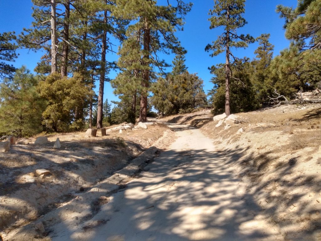
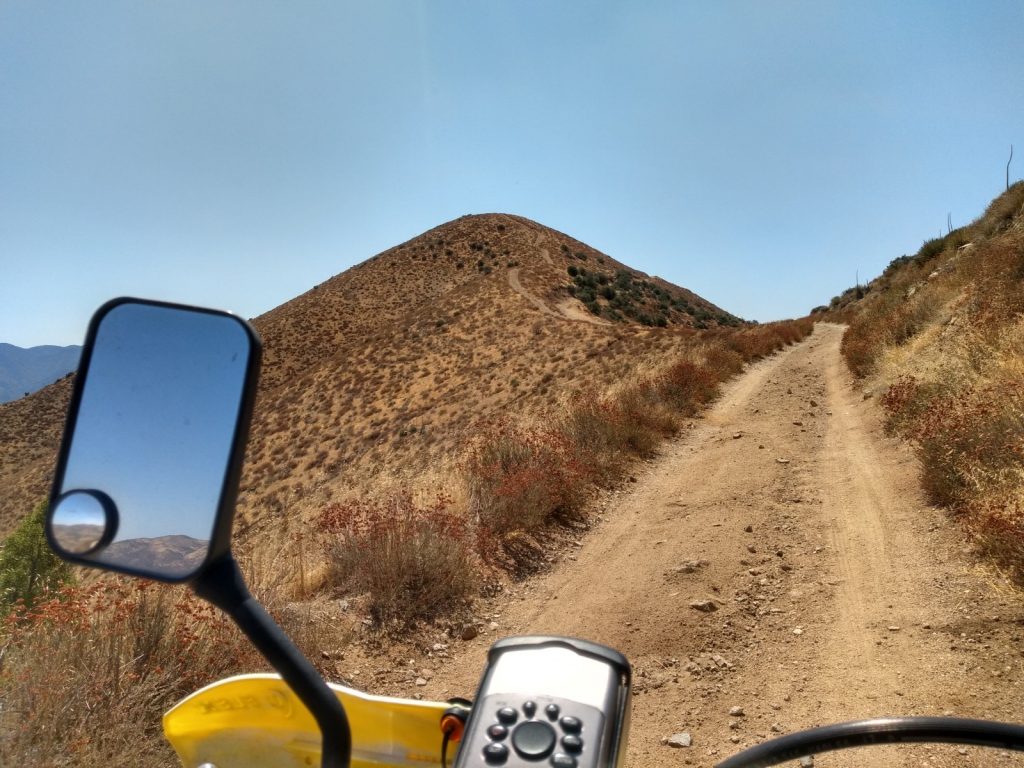
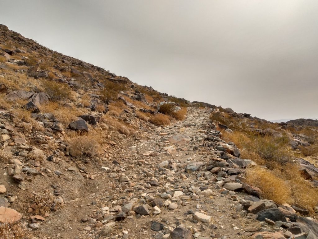
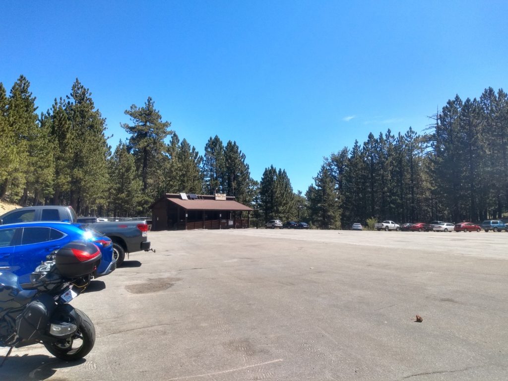
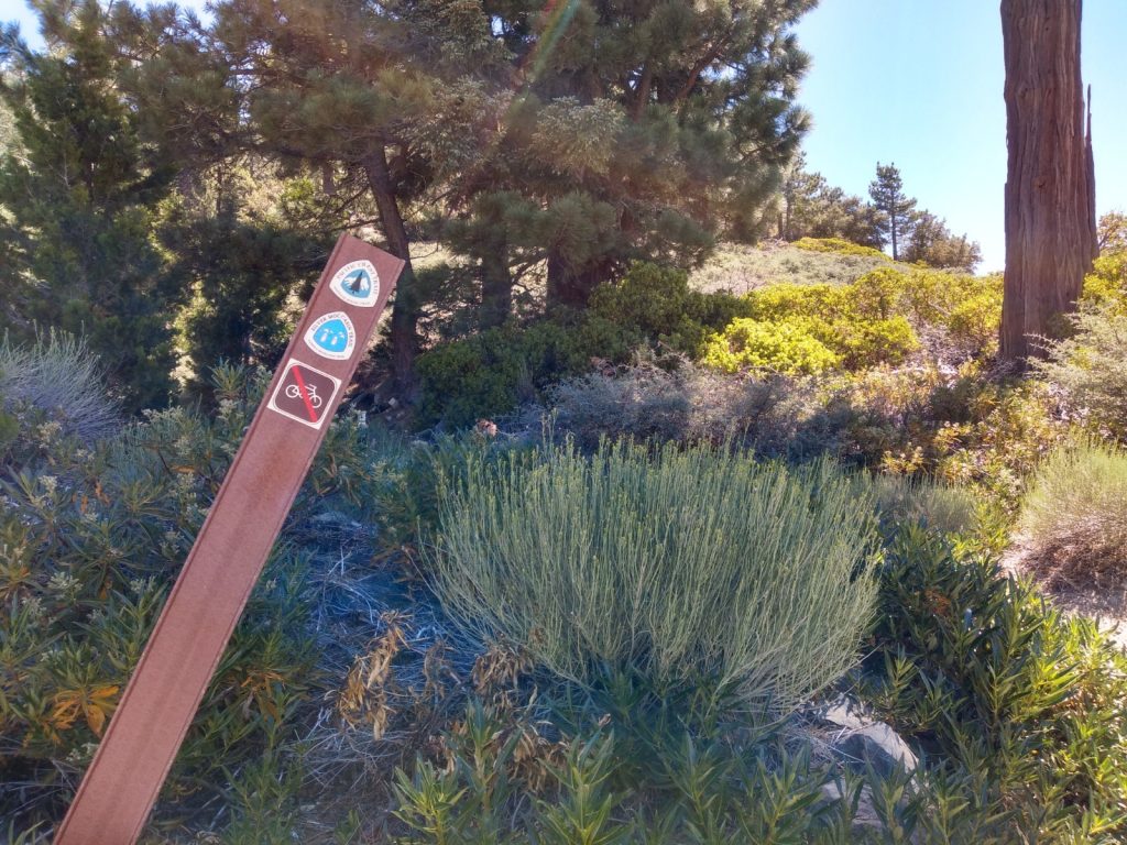
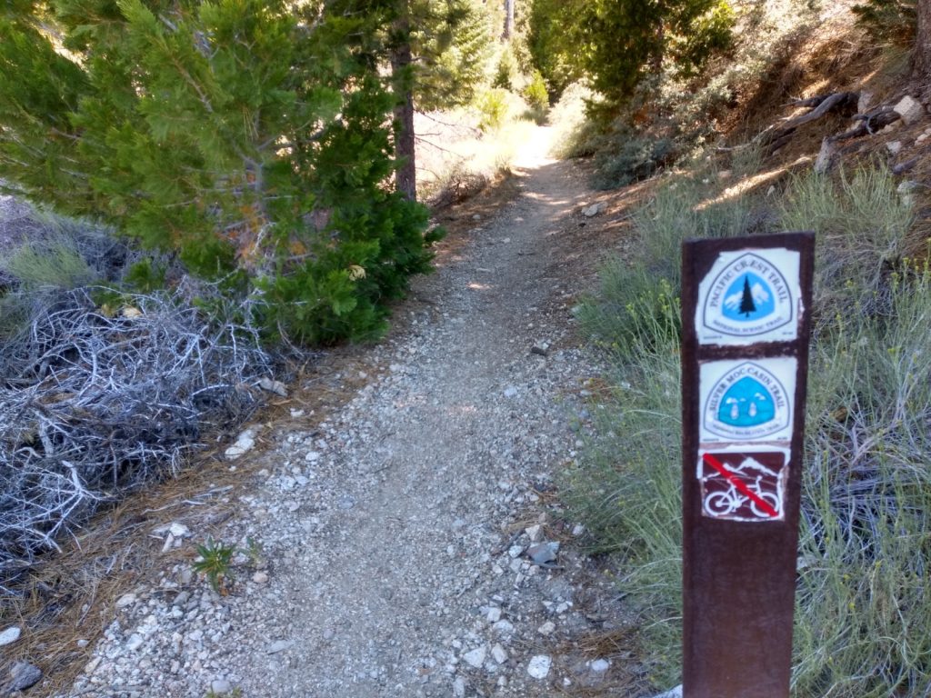
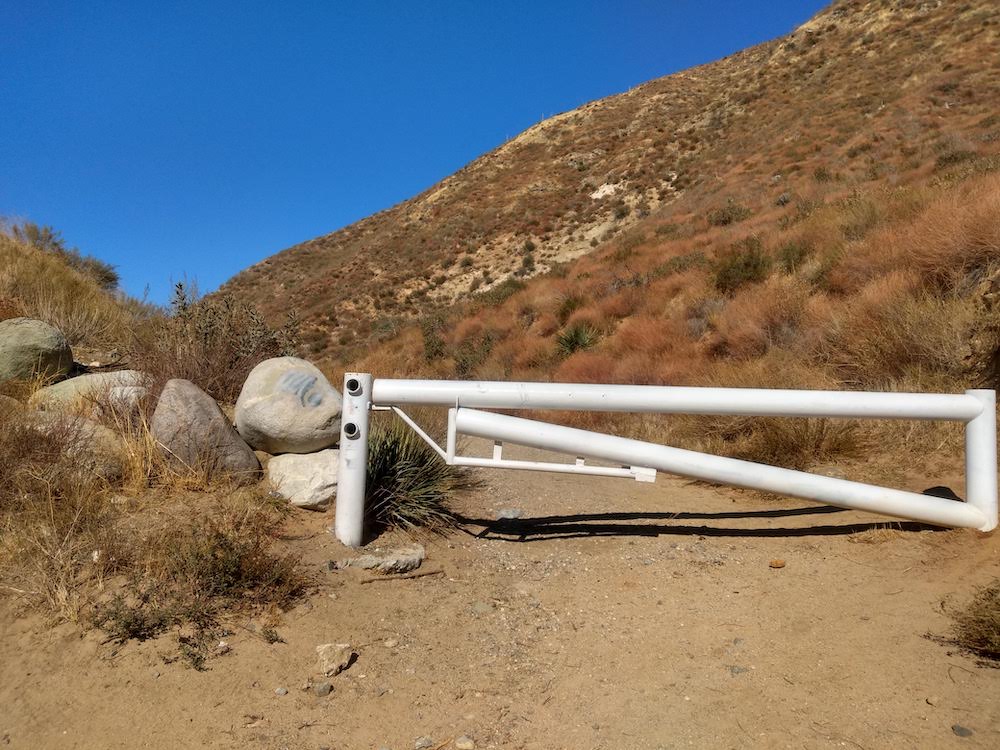
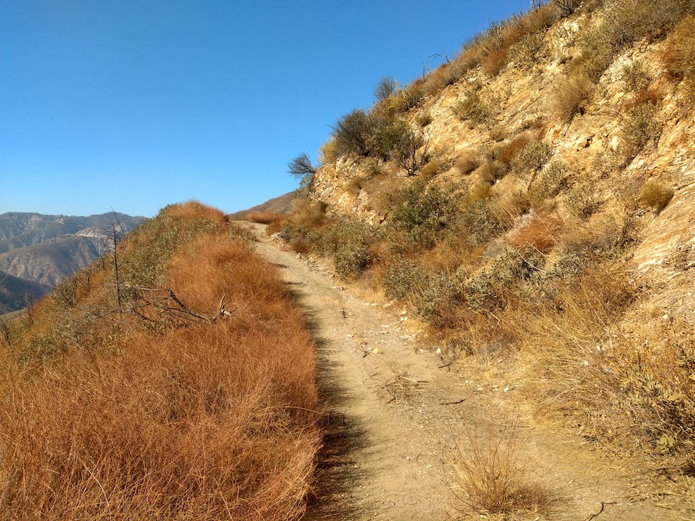
Forest road 3N17 is open, so I decided to activate Iron Mountain again, but from from the other direction; Mount Gleason area. I drove my SOTA mobile about as far as I was comfortable, ending up just to the side of Lightning Point campground. You could drive another mile or so down the narrow dirt road until you reach a locked gate. From here, you hike down to the summit! I think this is a first for me. The trail is mostly exposed, so bring extra water.

Total distance: 9.87 mi
Total climbing: 2251 ft
Download file: IronMountain2.gpx

W6/CT-144 – 4460

I’ve been looking for more summits which are accessible by dual sport motorcycle, and the western edge of the Angeles National Forest seems to have a few from what I can gather via internet research. I just need to ride around the area and see how accessible they are. This summit is just off BPL Road, which I believe, is private. However, the roads are in the forest, which is open. It shouldn’t be an issue to use the land so off I went. Near the summit, I parked the moto off the side of the road and followed the ridge line up to the top. An inverted triangle post was used to hold a QRP Guys end fed tuner, with 41′ of wire stretched out to a collapsible fishing pole. I worked 20M, 40M, and 2M. One summit to summit contact on FM. There are a few more 2 and 4 point summits in the area, which I hope to activate soon.

https://sotl.as/summits/W6/CT-144

Total distance: 0.56 mi
Total climbing: 308 ft
Download file: W6:CT-144.GPX

Date:23/10/2020 | Summit:W6/CT-144 (4460)

TimeCallsignBandModeNotes
20:20NOWAE14MHzSSB59 55
20:21WW7D14MHzSSB59 57
20:22N0MNA14MHzSSB55 44
20:24W0ERI14MHzSSB55 44
20:25KG6MZS14MHzSSB57 43
20:27WU7H14MHzSSB59 58
20:43N6NKT7MHzSSB59 33
20:44W7RV7MHzSSB20:44
20:46K6LDQ7MHzSSB55 33
20:53KA6VVD144MHzFM
21:06KN6CQX144MHzFMS2S W6/CT-004
Twisty dirt roads
I parked here and hiked the rest of the way to the top.
Yaesu FT2D + QRP Guys end fed tuner + 41′ of wire
Looking off from the summit
Activation Zone

W6/CT-015 – Mt. Pacifico

I’ve read that the road to Mt. Pacifico was closed to traffic, which made me want to cycle up to the top and enjoy the views with little interaction with others. This wasn’t the case. At the time of writing this, the road is open, all the way to the top, and the campground was occupied. Most traffic and the campers seemed to be hunting something, maybe birds? It’s not a very nice hike up the fire road, so if I’d known the road was open I probably would have ridden my DRZ dual sport motorcycle to the summit. (You can also hike the PCT to the summit, which I might do next time!) I made the trip with T. and E., my cycling pals. Of course, we got to the trailhead at the hottest time of the day. The fire road up doesn’t supply any shade, which made the ascent much harder in the blaring sun. After about 5 miles of climbing, you will see a sign directing you to the summit. This road offers some well needed shade, but not much. At the top, my standard HF station was setup at a picnic table. APRS packets were getting to an iGate for self spotting. In all, we spent two hours on the summit with contacts made on 10M, 20M, 40M and 2M. The thrilling ride down took a fraction of the time it took to get up. The downhill made cycling all the way up worth it!

https://sotl.as/summits/W6/CT-015

Total distance: 12.35 mi
Total climbing: 2499 ft
Download file: Pacifico.GPX

Date:17/10/2020 | Summit:W6/CT-015 (Pacifico Mountain)

TimeCallsignBandModeNotes
21:38N0WAE14MHzSSB59 55
21:41WD8KDB14MHzSSB59 55
22:02N6DNM7MHzSSB55 52
22:22KF6QBS28MHzSSB59 55
22:26KM6MZS144MHzFM
22:28KE6ZGR144MHzFM
22:43K7JSG14MHzSSB59 55 POTA K3288
22:49AE7AP14MHzSSB55 25
23:05KF6HI7MHzSSB59 55
23:07N5DIM7MHzSSB52 55
23:08NW7E7MHzSSB55 53
23:10K7IMA7MHzSSB22 22 S2S W7W-LC115
23:11NS7P7MHzSSB55 44
23:11W7RV7MHzSSB59 57
23:11N0RSR7MHzSSB59 44
23:13NQ7R7MHzSSB44 32
23:16W7FAS7MHzSSB23:16
23:38KW6ACK144MHzFM
23:40K6KWI144MHzFM
23:41KI6RF144MHzFM
23:43KM6CEM144MHzFM
3N17, the road up to Pacifico. I thought this was closed to motor traffic, but there were several vehicles.
No shade
After about 5 miles, you see this sign directing you to the summit.
The trail gets a bit of shade.
But it’s rocky and steeper than the previous road.
Almost there!
Bikes at the top
Views
More views
Logbook

W6/CT-153 – Parker Mountain

The weather in L.A. is hot, and I wanted to get on the air. I also didn’t feel like hiking in the heat, but wanted to activate a summit. Doesn’t seem like a good combination, but I had an idea for a hobby stack. Earlier in the week I spent some time pulling my dual-sport motorbike out of the weeds in the backyard, and evicting the various spiders from the motor. After a quick hose off, fluid check, and battery charge, the bike was highway ready after being neglected for so long.

I’ve been curious about summits along Hwy 14, as these appear to be drive ups, however, I don’t have a 4×4 to make it up there, but I do have a dual-sport motorcycle! I left my house and wizzed the 400cc motor for about 60 miles to the area of the summit. It was hard to find, and it took a few tries to get up there, which cost quite a bit of time. Some parts of this trail were quite steep and had me second guessing my skills on the bike, but I made it up without incident. At the summit, there is evidence of an old tower site, and a single tree which could offer a bit of shade. I started with 10M, moved to 20, then 40. Called out on 2M simplex and didn’t make any contacts there.

I attempted to activate another summit nearby, however, I was hungry, running low on water, and couldn’t easily find the trailhead so I headed home. Next time I activate a summit in this area I think I’ll load the bike in the van, then drive to a friends house in the canyons and start the ride there. Being on a small displacement bike, on the highway, in the hot sun, is quite taxing!

https://sotl.as/summits/W6/CT-153

Total distance: 3.84 mi
Total climbing: 916 ft
Download file: Parker_Mountain.GPX

Date:27/08/2020 | Summit:W6/CT-153 (Parker Mountain)

TimeCallsignBandModeNotes
19:50WA6KYR28MHzSSB59 31
20:07W0MNA14MHzSSB55 55
20:11K0LAF14MHzSSB45 44
20:12WW7D14MHzSSB59 44
20:13KR7Q14MHzSSB55 43
20:25WU7H7MHzSSB33 33
20:26WB6POT7MHzSSB59 56
20:27KE6GLA7MHzSSB59 52
20:30K6LDQ7MHzSSB59 33
Summit is in view – Yes, it’s steep
Benchmark at the summit
A sign that let’s you know you found Parker Mtn.
My mechanical mule, a Suzuki DRZ 400
View of Acton, CA below

W6/SD-183 – Goat Mountain

This summit is very close to my cabin in Landers, and I’ve always wanted to hike it. Generally, I’m pretty worn out from working on the property to do anything like hiking though.

Goat Mountain was mined for gold as early as 1914. There are still places along the trail where you can see the mine shafts. The trail the top of the mountain is well defined, where I can only assume mule teams dragged carts of ore up and down. The hike up is relatively easy, however, it’s very rocky. The summit offers sweeping views of the surrounding desert. At the summit, I called out on 10M, and 2M without success. 20M and 40M was working well. Thanks for all the chasers!

https://sotl.as/summits/W6/SD-183

Total distance: 2.25 mi
Total climbing: 815 ft
Download file: Goat_Mountain.GPX

Date:11/09/2020 | Summit:W6/SD-183 (Goat Mountain)

TimeCallsignBandModeNotes
17:44W7H014MHzSSB59 57
17:45K9VD14MHzSSB55 32
17:46AK4AT14MHzSSB55 33
17:47KC5OLC14MHzSSB59 53
17:48K8LJG14MHzSSB55 33
17:48WW7D14MHzSSB55 43
17:49N0WAE14MHzSSB55 44
17:59WB6POT7MHzSSB59 45
18:00W6DT7MHzSSB59 44
18:01KE6GLA7MHzSSB55 43
18:02WU7H7MHzSSB55 33
Trail to the top. I’m assuming this was a bit more clear when there was mining activity.
You can just make out my van.
One of the mine shafts, which a engine of some kind pushed in.
From what I gather, crystal grippers love goat mountain.
Looking down, Landers in the distance.

Keller Peak/ Strawberry Peak

VHF only activation of two peaks in the Lake Arrowhead area. These are both drive ups, and easy to find on Google Maps. GPS will probably take you straight to the top. There was a heatwave in Los Angeles, so I didn’t feel super enthusiastic about going on a hike, but I wanted to get out of the house and on the air. The first summit of the day was Strawberry peak (not to be confused with the other Strawberry Peak!). This peak is covered in RF equipment, with little room to property setup a HF antenna. My Yaesu 817 was full noise in the 2 meter band, with the squelch al the way closed, which made making contacts interesting. I quickly made the required contacts (plus a few more) and headed over to Keller Peak. This summit is also covered in RF equipment and a fire lookout tower. There isn’t much room on the summit, but I ended up finding a spot under the tower, and behind a large rock in an attempt to block RF. Contacts came easily, and I was wrapping up after about 10 minutes at the top. Overall, beautiful area, and a nice summer drive.

https://sotl.as/summits/W6/CT-013

https://sotl.as/summits/W6/CT-086

Date:20/08/2020 | Summit:W6/CT-086 (Strawberry Peak)

TimeCallsignBandModeNotes
18:56KM6CNF144MHzFM
18:57AJ6N144MHzFM
18:58KM6CEM144MHzFM
19:02KM6CYF144MHzFM
19:04K6QCB144MHzFM
19:08KK6PWU144MHzFM

Date:20/08/2020 | Summit:W6/CT-013 (Keller Peak)

TimeCallsignBandModeNotes
20:51KI6PMD144MHzFM
20:51KM6CEM144MHzFM
20:52K6QCB144MHzFM
20:53K6TVI144MHzFM
20:55K6LDQ144MHzFM
20:55AJ6N144MHzFM
20:56KF6REU144MHzFM
20:57N6OKO144MHzFM
20:58KK6WVY144MHzFM
20:58WA6WV144MHzFM
20:59WA6JFK144MHzFM
21:00WD6TED144MHzFM
21:01AF6ZV144MHzFM
21:01KD5IOZ144MHzFM
21:02N6MG144MHzFM
21:02WE4IAS144MHzFM
Under the fire lookout

W6/CC-002 – Mt. Pinos

My wife and I were itching to get out of the house, so I suggested a day trip up to Frazier to check out some of the easy summits in the area. At the time, there was a heat wave throughout Southern California, so I wasn’t in the mood to do much hiking! We started out by heading up to Frazier Mountain, W6/CC-003, a drive up. The first half of the road was paved, but after a few miles the road splits at a campground and turns to dirt. I attempted to pilot my Fiat 500 carefully down the dirt, but quickly found this wasn’t the best idea with minimal ground clearance and low profile tires. We turned around and headed to Mt. Pinos. Getting there is easy on the paved road, which ends at a large parking area at several trail heads. The hike up is beautiful, through a tree canopy which eventually opens up to meadows of wildflowers. Made several contacts on 20, 40 and 2 meters, including three summit to summits.

https://sotl.as/summits/W6/CC-002

Total distance: 3.52 mi
Total climbing: 925 ft
Download file: MtPinos.GPX

Date:14/08/2020 | Summit:W6/CC-002 (Mount Pinos)

TimeCallsignBandModeNotes
20:08KC9TZM144MHzFM59 59 – Trucker
20:21KA7GPP14MHzSSB52 52 S2S W7W/CH-223
20:24WW7D14MHzSSB59 55
20:26W0MNA14MHzSSB45 44
20:27W0ERI14MHzSSB45 44
20:30W6PZA14MHzSSB45 33 S2S W70/CE-059
20:34NS7P14MHzSSB55 55
20:42N6DNM7MHzSSB55 55
20:43K6EL7MHzSSB56 55 S2S W6/NC-298
20:45AG7TX7MHzSSB55 56
20:46K6HPX7MHzSSB59 51
20:49K6LDQ7MHzSSB33 33

Update – December 5th, 2022. The following was borrowed from firetower.org without any kind of permission at all.

http://firetower.org/lookouts/us/ca/mount-pinos-aws-site/

Description

Forest fire detection was occurring as early as 1927 according to newspaper reports. It is unknown if any structure was built prior to WWII.

The Mount Pinos structure was a dual purpose site, used for enemy aircraft spotting and fire detection. A standard AWS post structure with a ground cabin and cupola were constructed in 1942/43.

The US Forest Service built, provisioned and staffed these posts. The US Army reimbursed the US Forest Service for all costs. Operators were expected to report all aircraft activities and report all fires and smokes to USFS dispatch. Aircraft information was then relayed to the Army.

Fire detection may have continued after WWII. Building removal date is unknown.

W6/CT-247 – Mount Williamson

This is a fun 8 point SOTA hike, which is around 5 miles round trip. Note: If you’re looking at a map, the actual summit is past Mount Williamson; keep going and follow Pleasant View Ridge to a peak named 8248. If you keep going even further, you will run into Pallet Mountain, the site of a C-119 aircraft crash.

https://sotl.as/summits/W6/CT-247

Total distance: 4.82 mi
Total climbing: 2115 ft
Download file: MtWilliamson.GPX

Date:31/07/2020 | Summit:W6/CT-247 (Mount Williamson)

TimeCallsignBandModeNotes
20:17WWD728MHzSSB55 55
20:18K6WLD28MHzSSB59 59
20:30KI6PMD28MHzSSB59 59
20:50W7HO14MHzSSB59 56
20:50KB6AE14MHzSSB59 52
20:52N9XG14MHzSSB49 54
20:59N6JZT14MHzSSB55 43
21:21N1WAX144MHzFM59 59
21:25KM6CEM144MHzFM59 33
21:26AJ6N144MHzFM59 53
21:28WB6FQZ144MHzFM59 55
21:29KI6PMD144MHzFM59 42
21:31KM6SVN144MHzFM59 51
The start of the trail, just off Hwy 2
The PCT
This PCT marker is at the point where you turn to hike the ridge.
Looking up at the ridge
Summit log on Mt. Williamson.. This isn’t the SOTA summit, keep going!
View at the top
It gets somewhat technical at this point, but evens out eventually.

W6/CT-246 – Mount Lewis

Mt. Lewis is a short, steep hike with easy access just off highway 2, which can easily be combined with any of the surrounding summits, such as Throop, Mt. Baden-Powell, exc for a 16 point day. At the summit, you get nice views of the Antelope Valley and plenty of shade.

The peak is named after the first Superintendent of Yosemite National Park who worked in the San Gabriels in the early 1900’s. Mt. Lewis made it on the original 1946 Sierra Club Hundred Peaks List.

https://sotl.as/summits/W6/CT-246

Total distance: 0.98 mi
Total climbing: 1023 ft
Download file: MtLewis.GPX

Date:01/08/2020 | Summit:W6/CT-246 (Mount Lewis)

TimeCallsignBandModeNotes
00:04K6ICS28MHzSSB59 55 (10-10 contester)
00:25KB6AE14MHzSSB59 57
00:52K6LDQ7MHzSSB55 33
00:57KK6TDU433MHzFM59 59
00:59N6MDZ433MHzFM59 59
01:08N1WAX433MHzFM59 59
01:13KB9ENS144MHzFMS2S – W6/CT-012
01:14AJ6N144MHzFM59 59