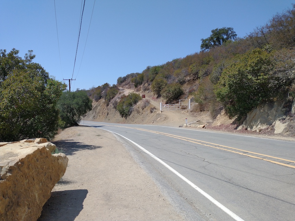
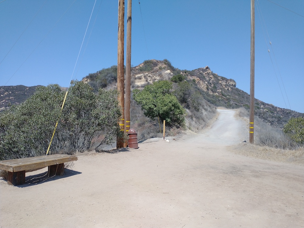
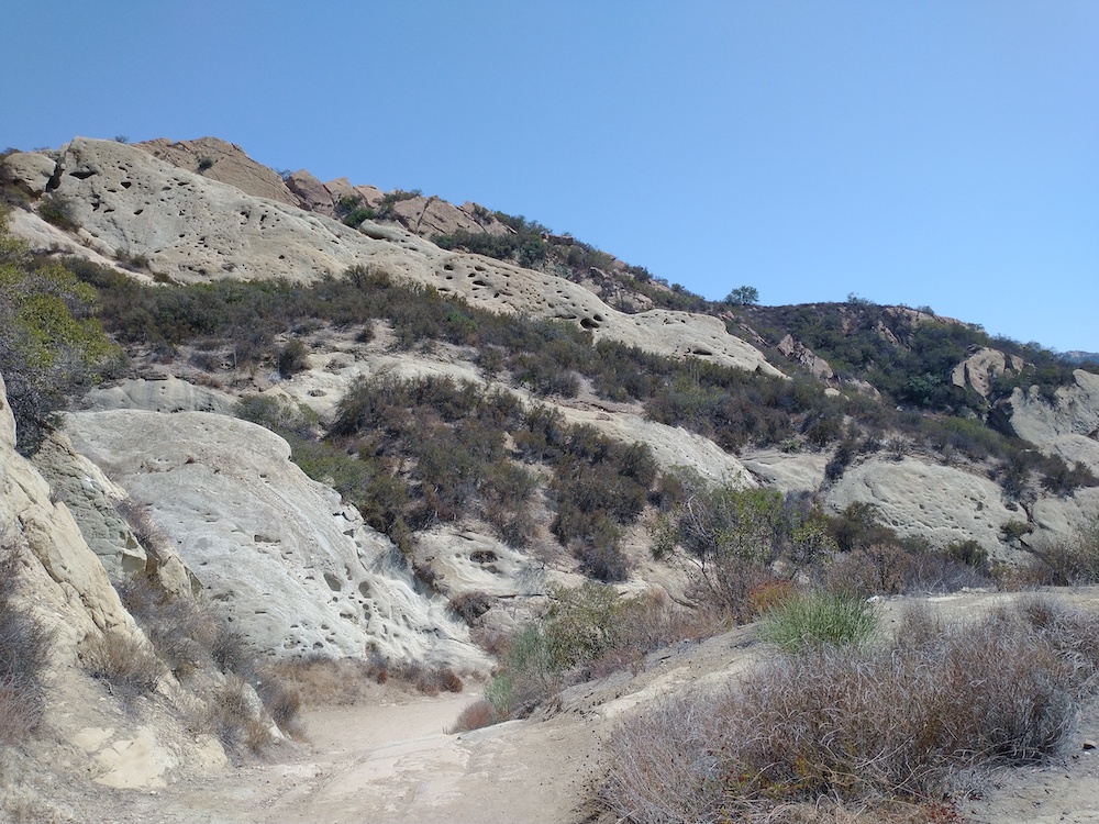
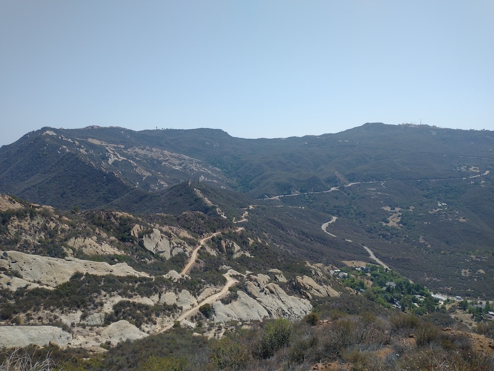
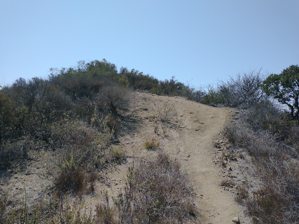
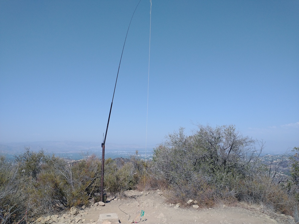
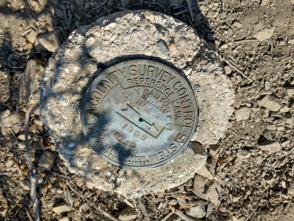
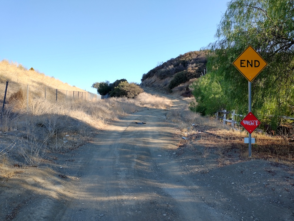
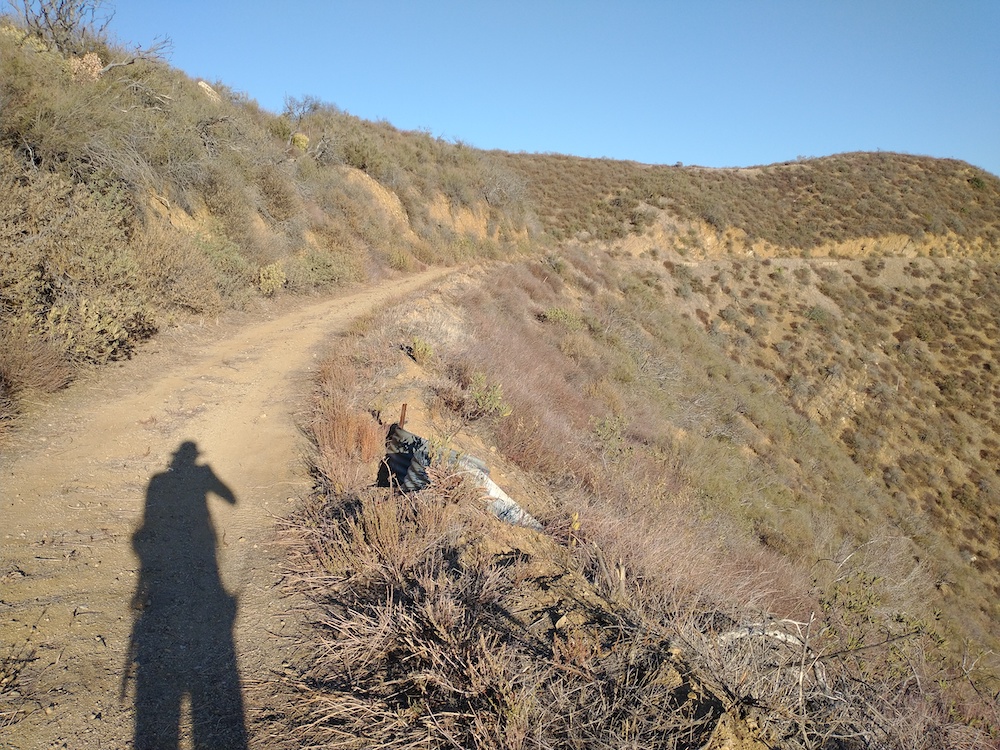
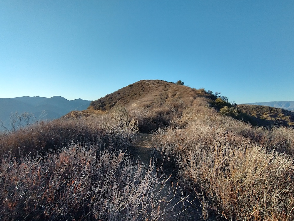
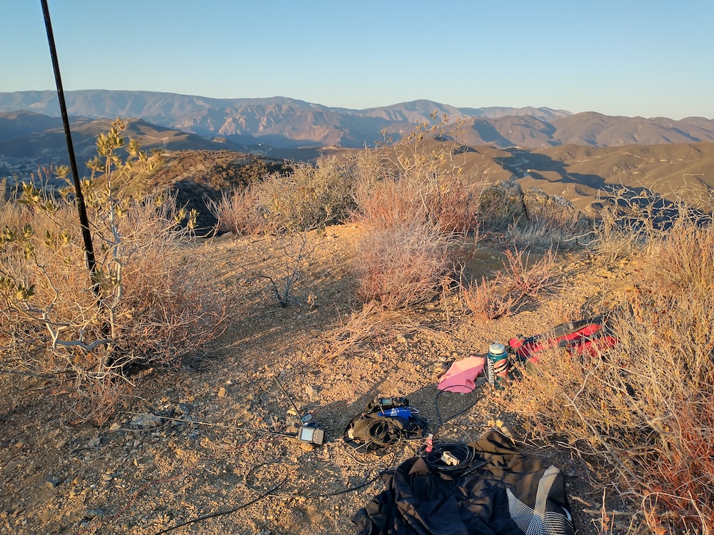
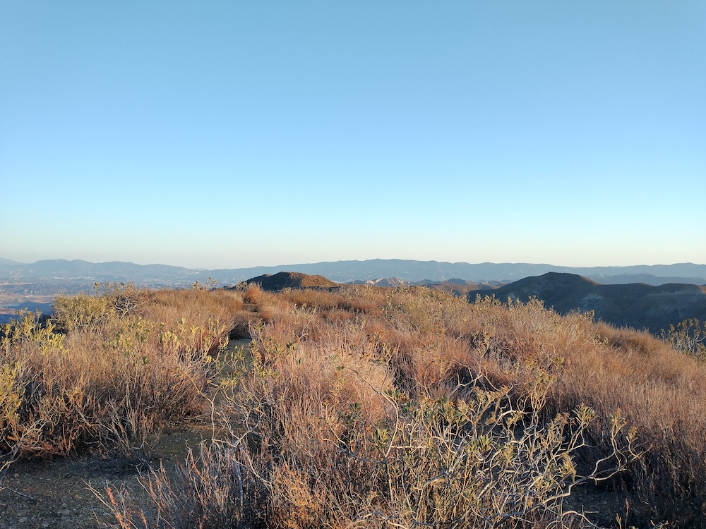
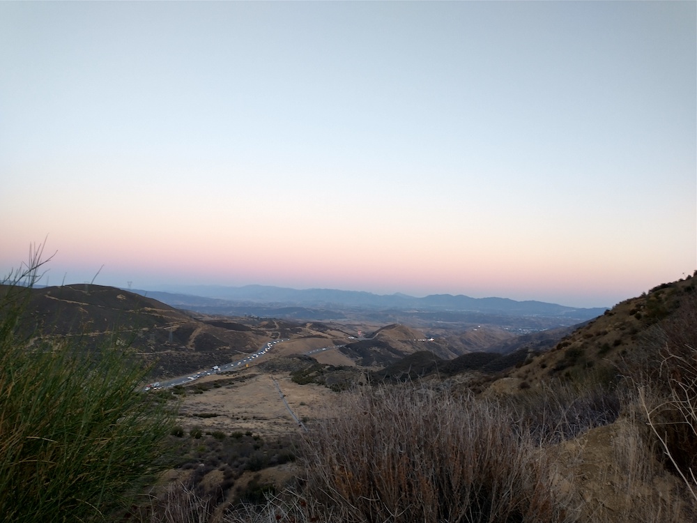
Calabasas Peak is the first summit I activated in the Santa Monica Mountains. I parked across the street from the trailhead on Stunt Road and walked up the steep fire road to the summit. Once there, you will find a couple different benchmarks and a sturdy post to hold an antenna mast. There is little to no shade on the hike up, and very little shade at the summit. I drank 2 liters of water on the short 3.5 mile hike, as it was quite hot the day of my activation.
https://sotl.as/summits/W6/CT-214
Total climbing: 1107 ft
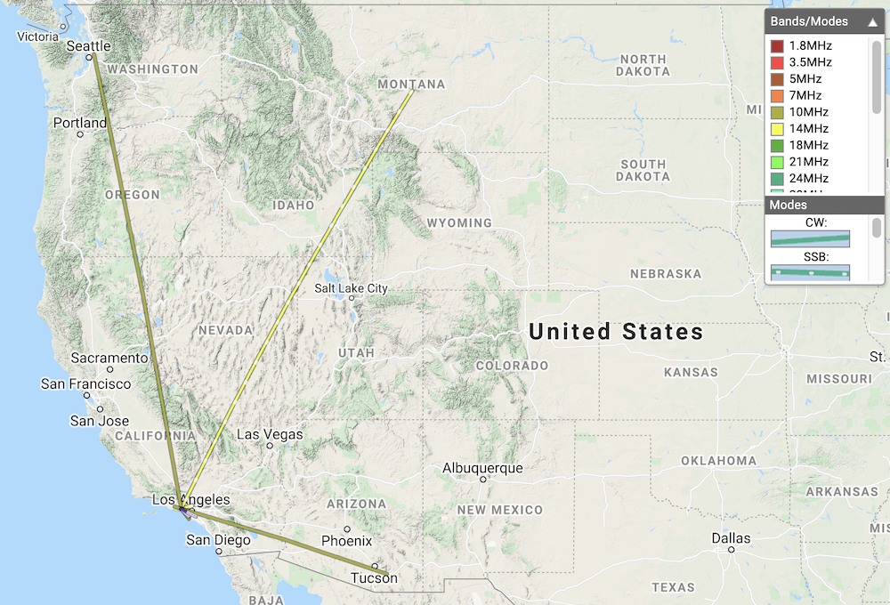
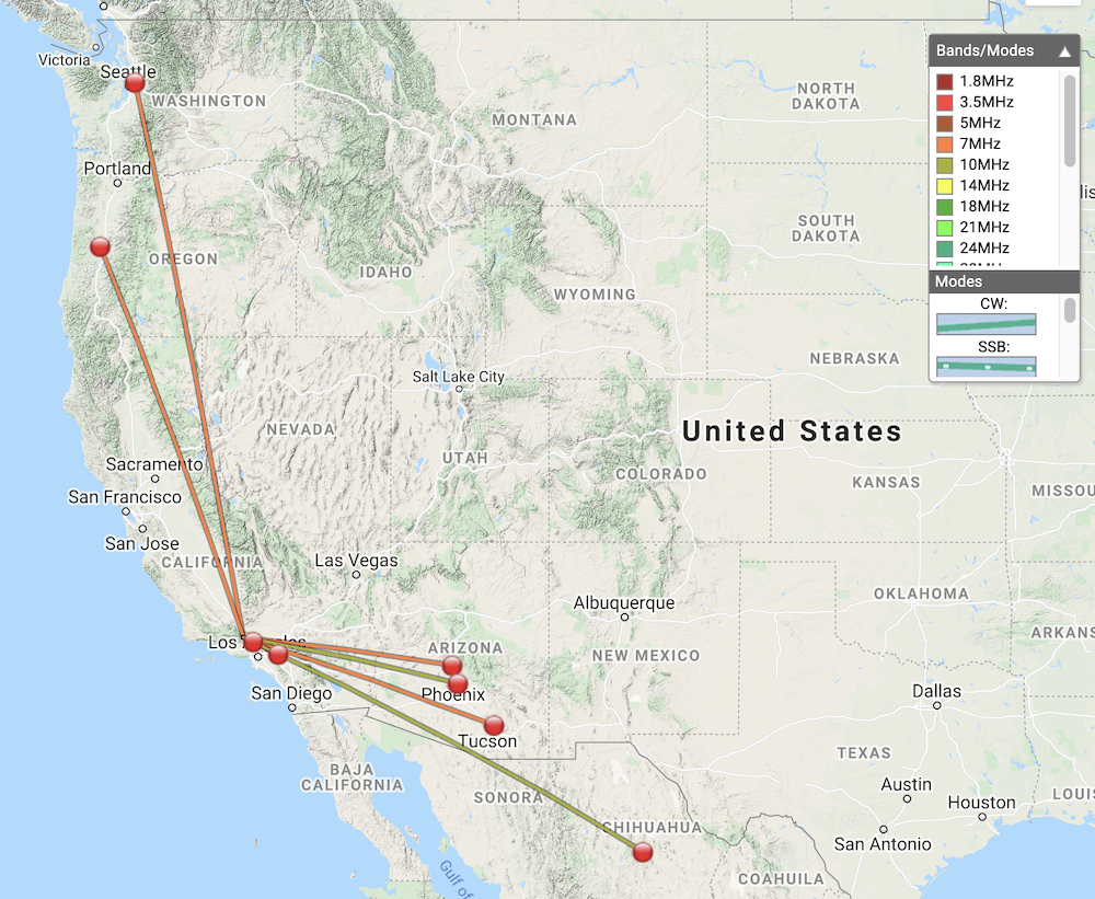
Date:08/09/2021 | Summit:W6/CT-214 (Calabasas Peak)
| Time | Callsign | Band | Mode | Notes |
|---|---|---|---|---|
| 21:24 | KB9ENS | 10MHz | CW | S559 R559 S2S W5N/SI-001 |
| 21:41 | K6TUY | 14MHz | SSB | S59 R59 |
| 21:42 | K6ARV | 14MHz | SSB | S58 R53 |
| 21:42 | N0WAE | 14MHz | SSB | S58 R44 |
| 21:54 | AJ6CL | 14MHz | CW | S599 R599 S2S W6/CT-218 |
| 22:04 | WW7D | 10MHz | CW | S559 R549 |
| 22:05 | NG6R | 10MHz | CW | S559 R559 |
| 22:07 | AA7OY | 10MHz | CW | S559 R559 |
| 22:09 | AB6ET | 10MHz | CW | S559 R579 |
| 22:26 | K6LDQ | 144MHz | FM | S59 R59 |
| 22:27 | KI6SLA | 144MHz | FM | S59 R57 |
