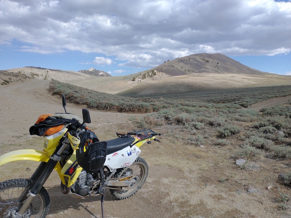
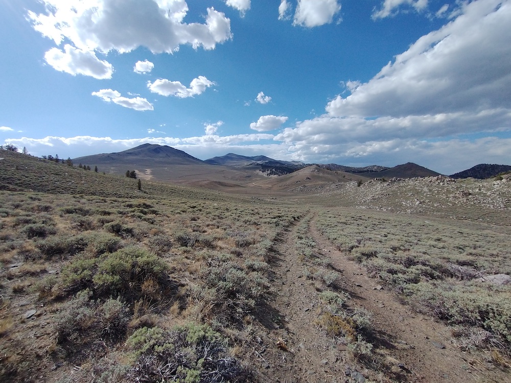
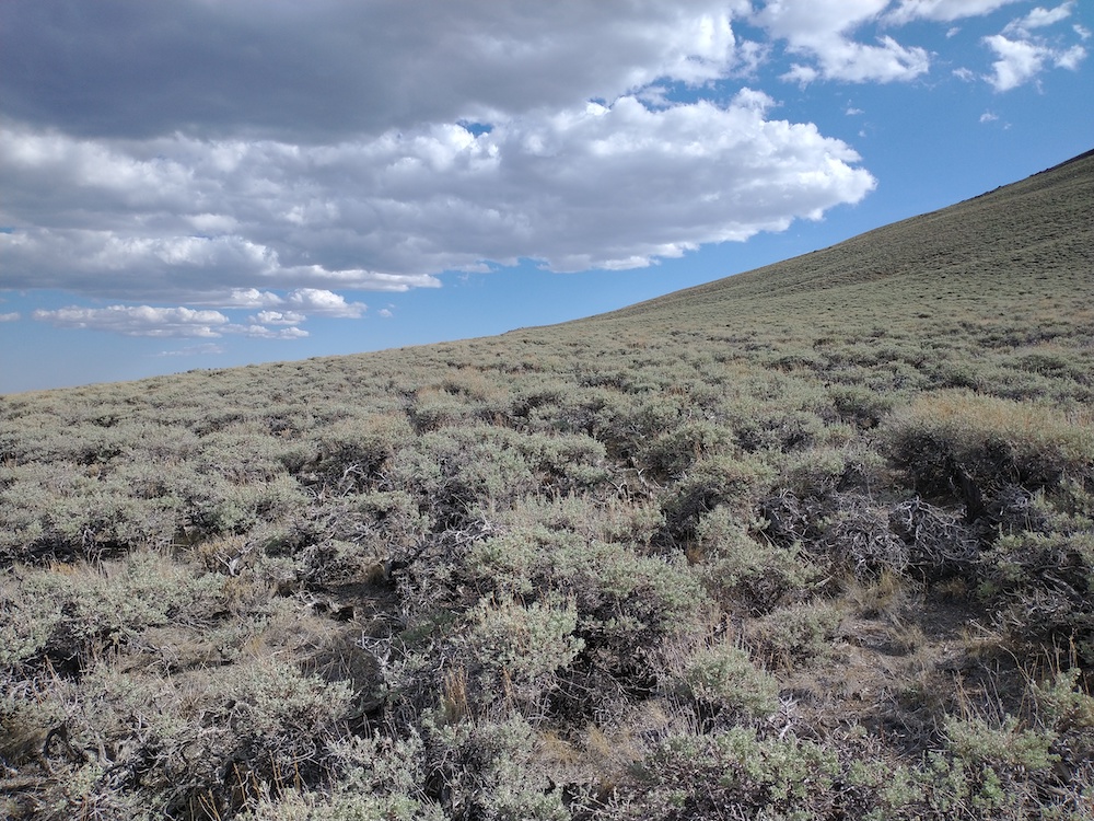
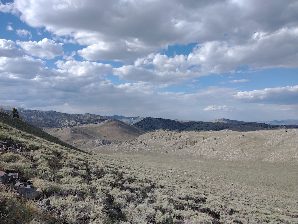
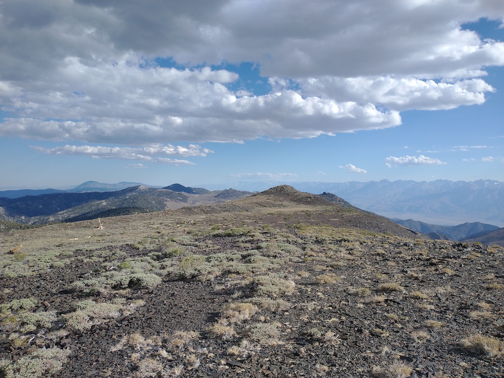
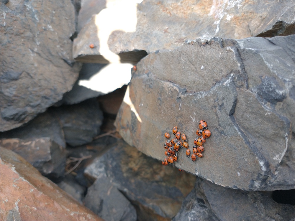
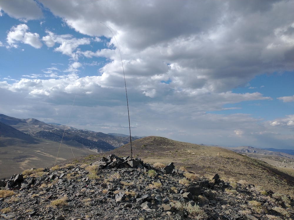
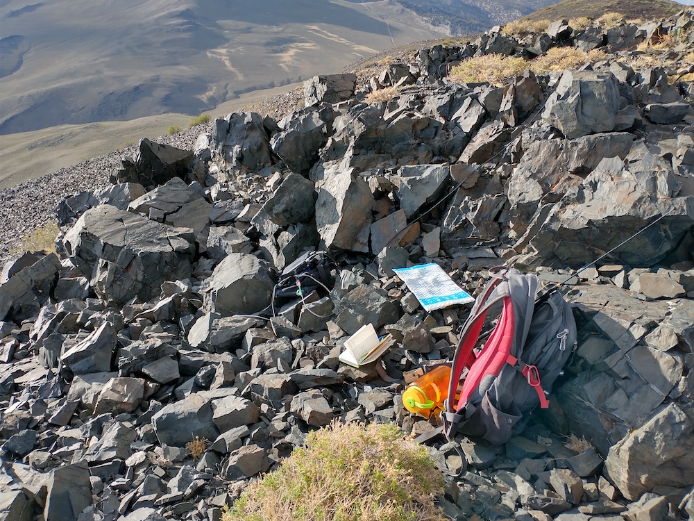
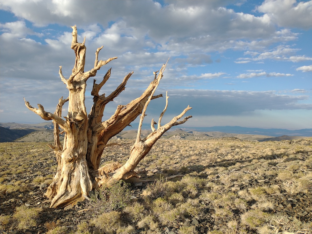
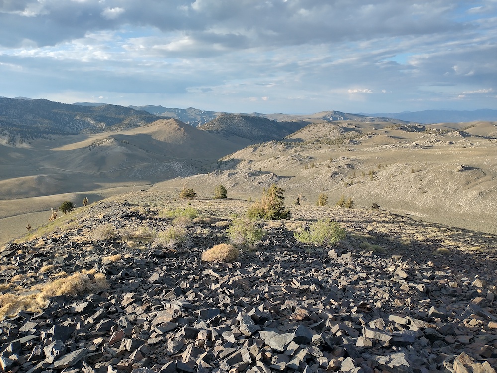
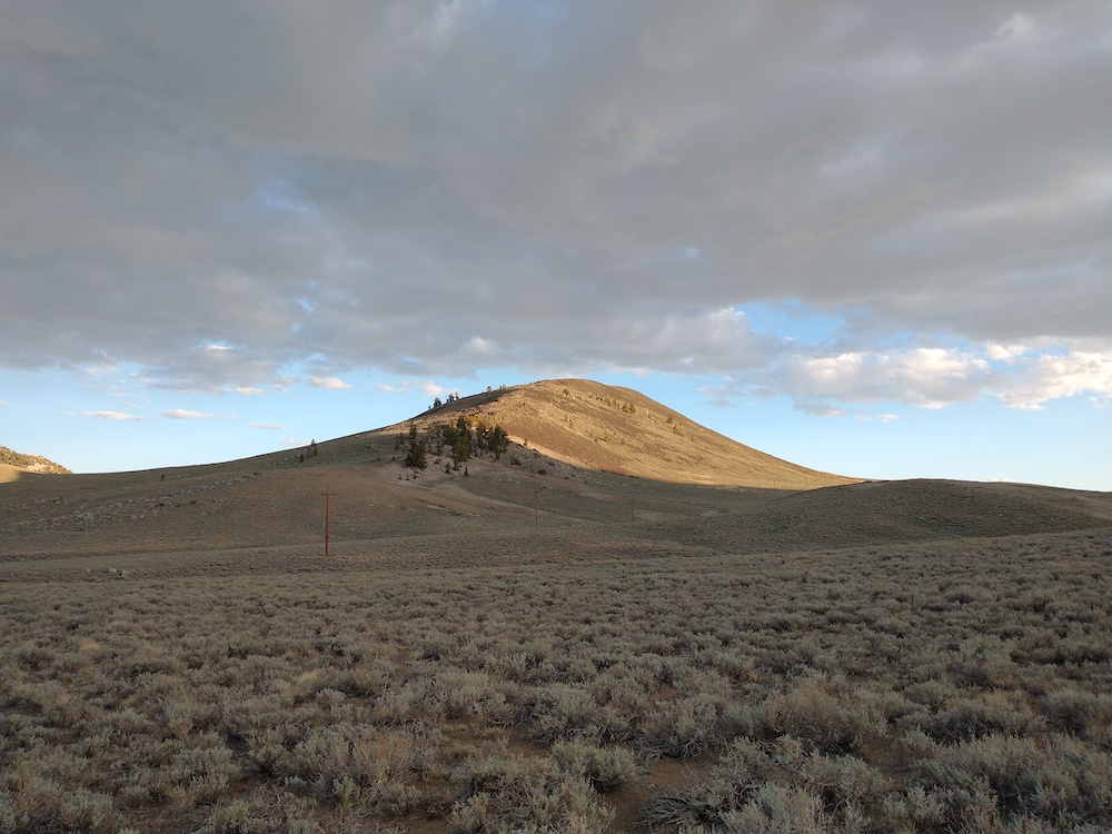
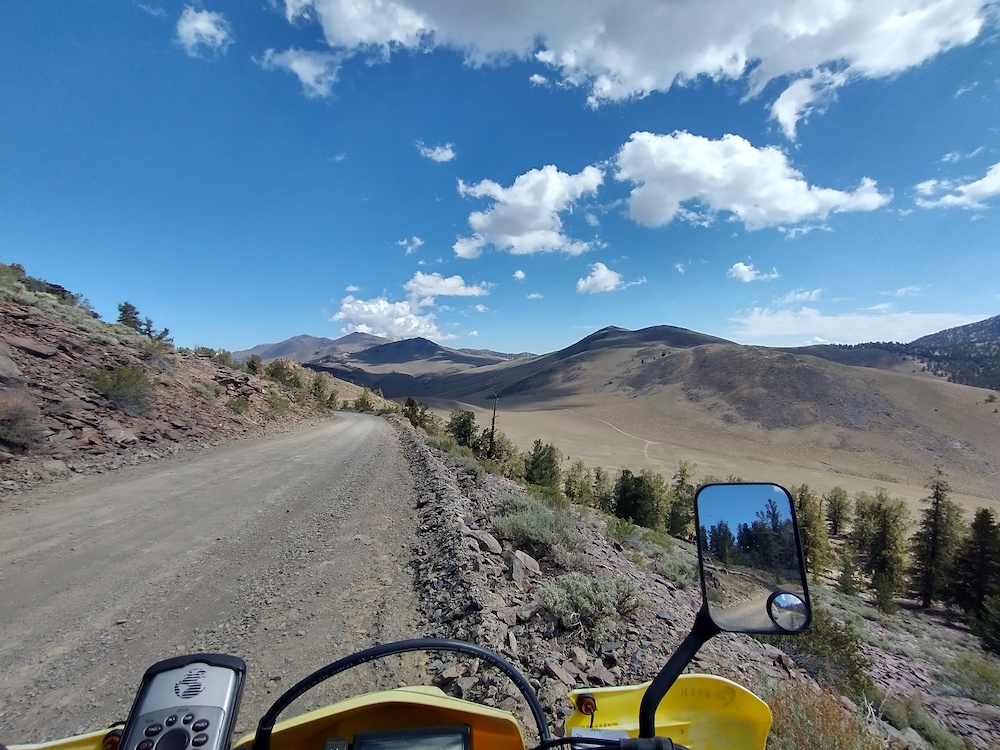
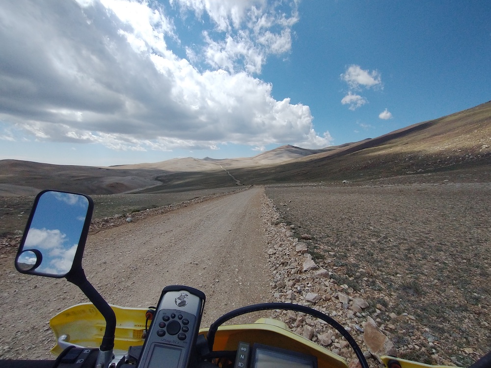
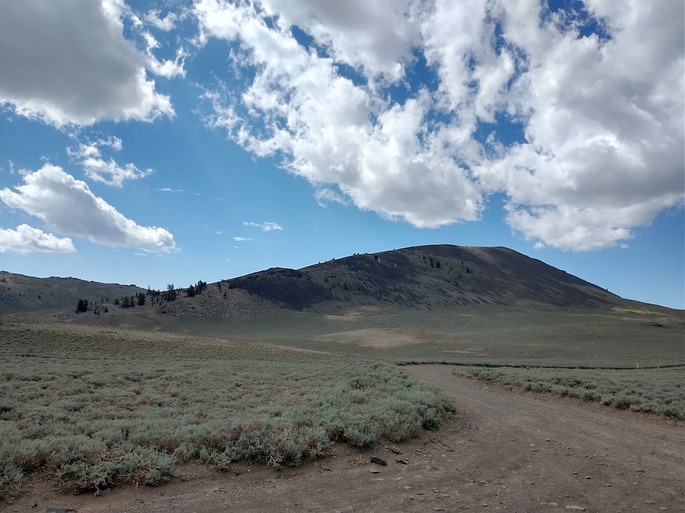
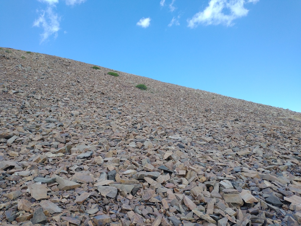
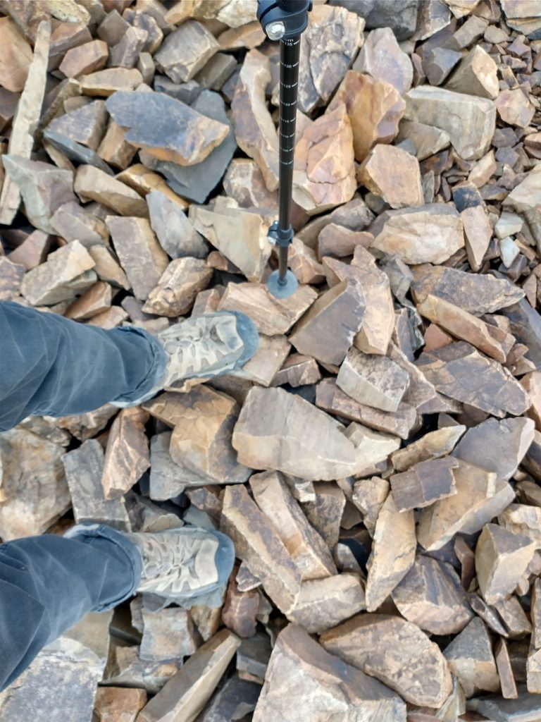
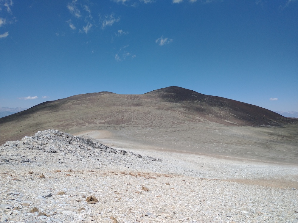
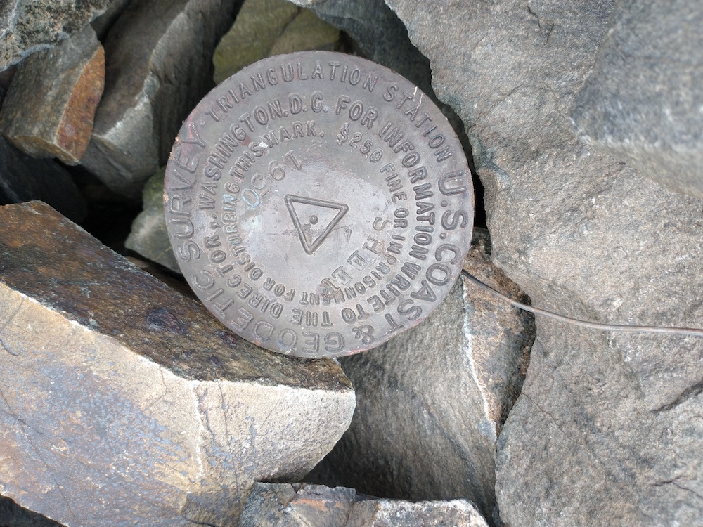
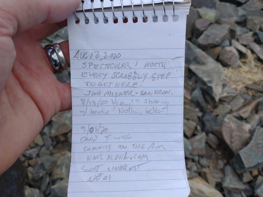
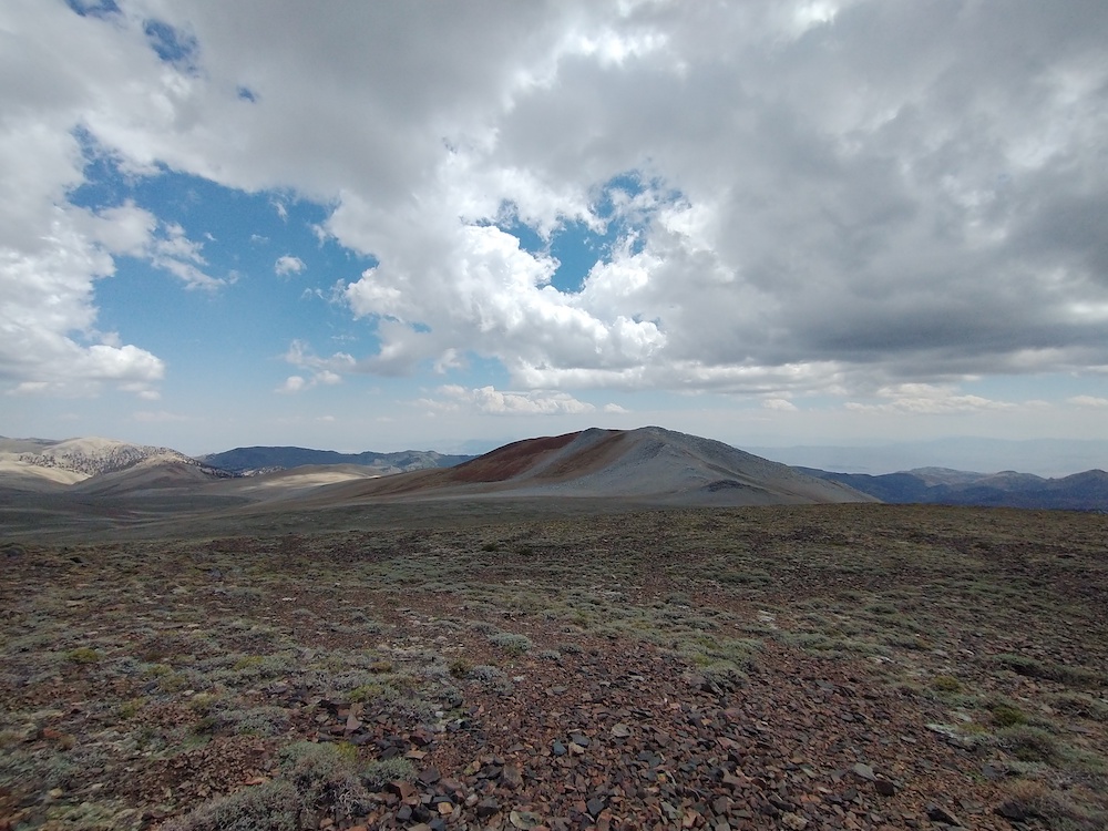
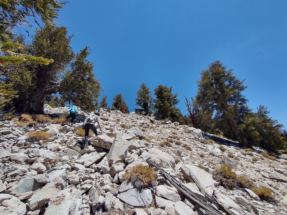
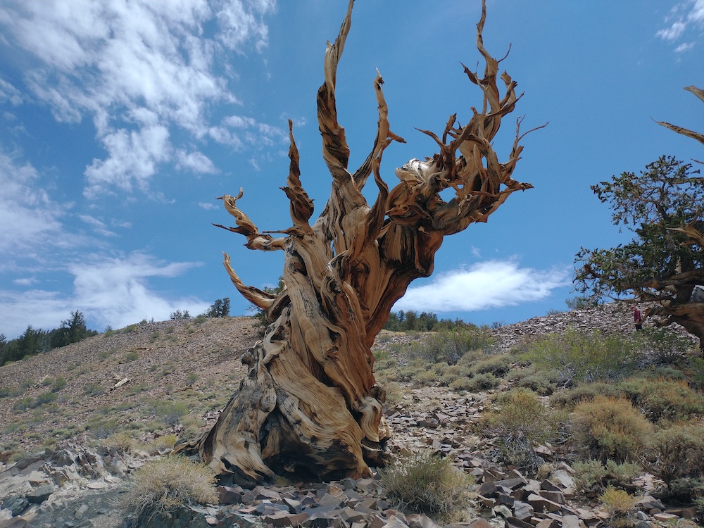
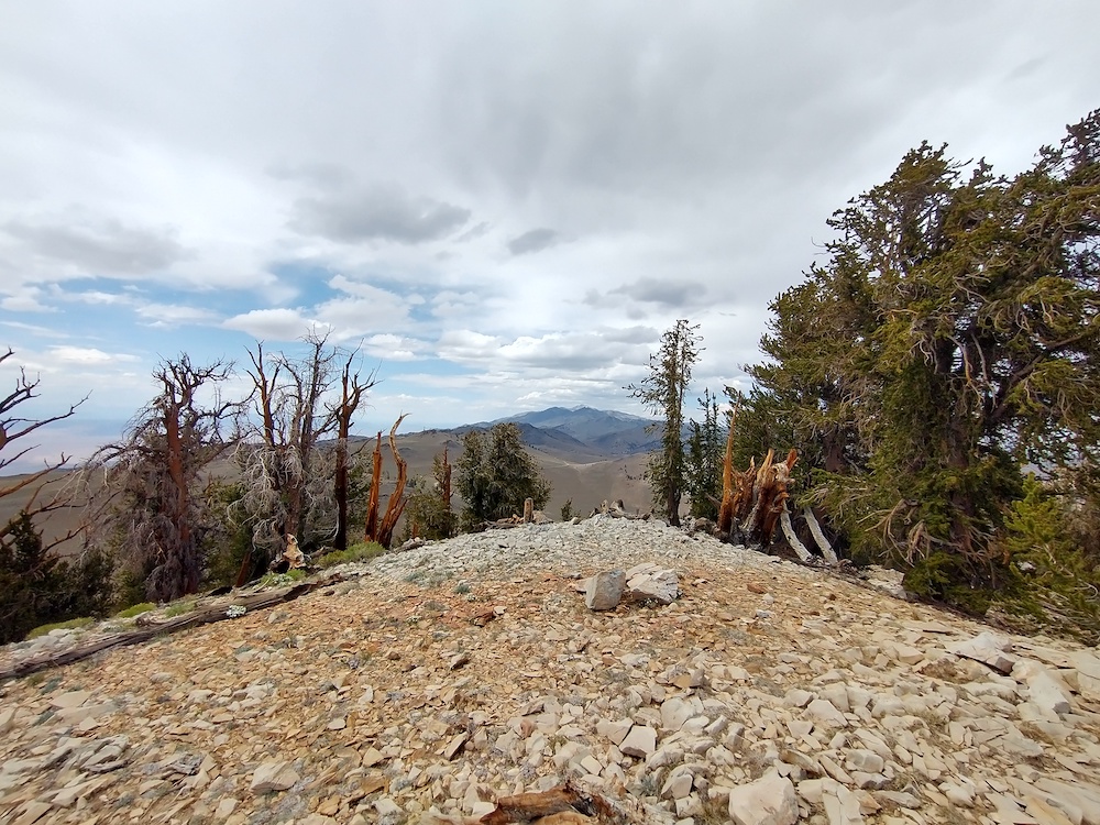
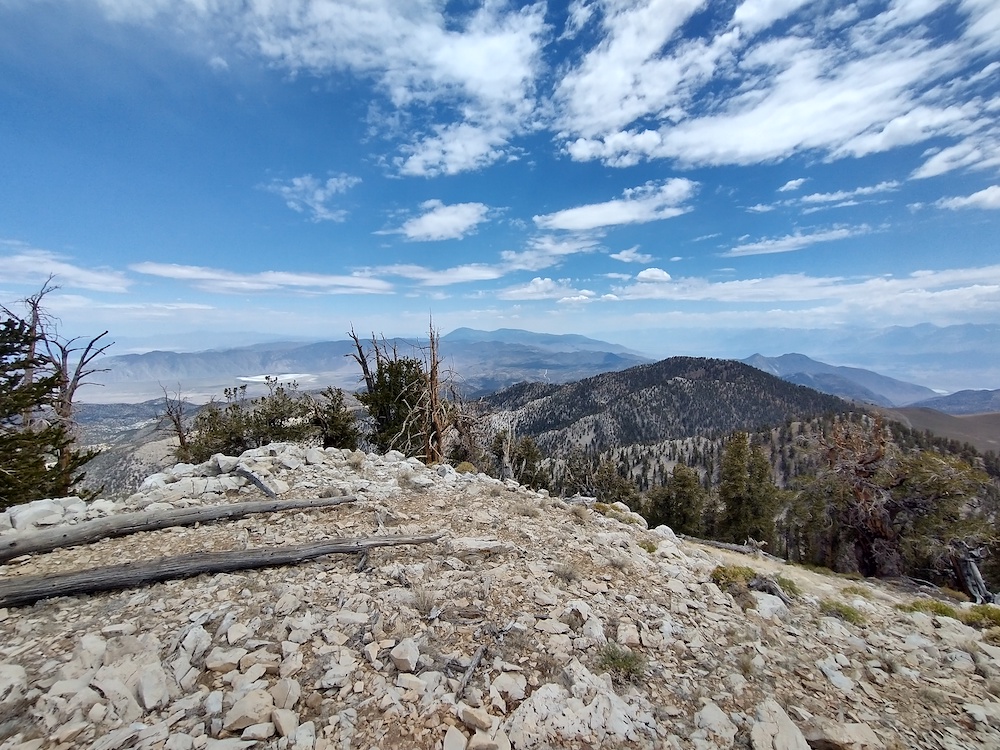
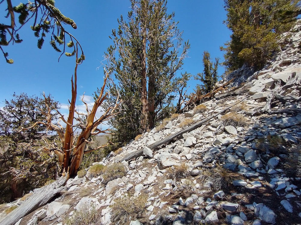
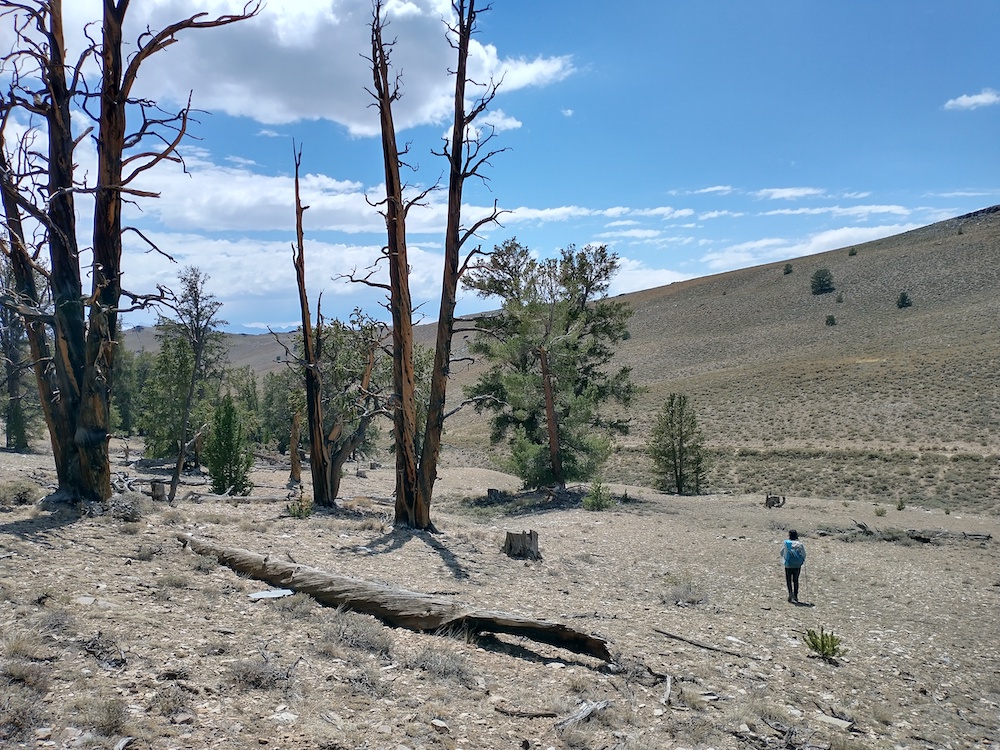
This summit is in the White Mountain range. I hiked an old two track road to the east side of the hill, then headed straight up to the summit through thick, knee high sage. Once on the ridge it was easy to get over to the summit. Worked 2M FM, 20M, and 40M SSB. On the way down, I took the ridge down to see if there was anything left of old prospecting mines marked on the forest service maps. I found a couple old tin cans and collapsed mine shafts.
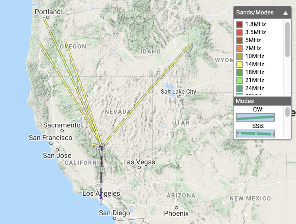
Date:04/07/2021 | Summit:W6/WH-006 (County Line Hill)
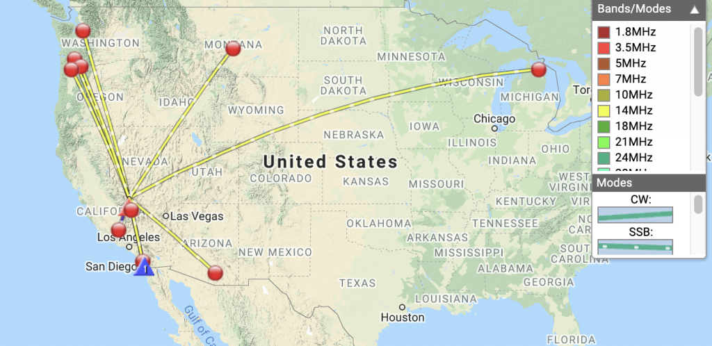
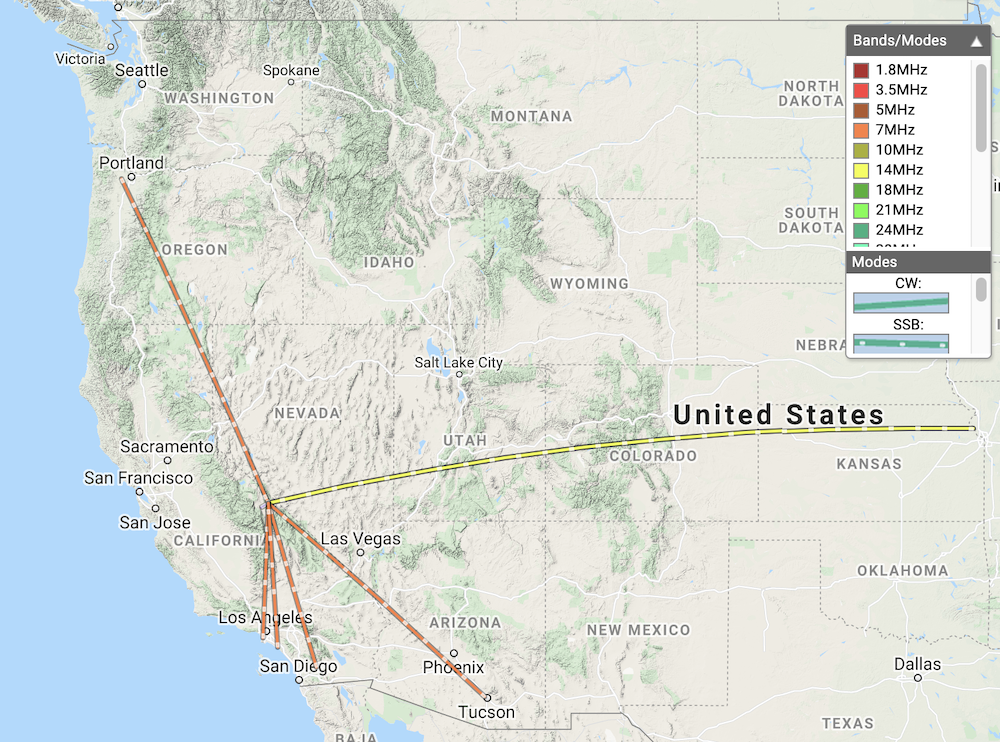
Time
Callsign
Band
Mode
Notes
01:34
KM6QCE
144MHz
FM
S59 R59
01:35
WA6IQO
144MHz
FM
S59 R59
01:36
W0MNA
14MHz
SSB
S59 R59
01:38
W0ERI
14MHz
SSB
S59 R59
01:40
AL6H
14MHz
SSB
S54 R55
01:52
K6HPX
7MHz
SSB
S55 R51
01:53
KJ7UIZ
7MHz
SSB
S58 R56
01:54
K6CWC
7MHz
SSB
S55 R48
01:55
K6LDQ
7MHz
SSB
S55 R36
01:56
KX6A
7MHz
SSB
S55 R33
Where I parked the moto, County Line Hill in the background.Old two track road. I followed this around to the west side of the summit.Knee deep bushwhackingAt the topLady bugs hiding under rocks.At the summit with my vertical.
Sheep Mountain is near the end of White Mountain Road. I don’t have a car that will make it down this road reliably, so I brought my dual sport motorcycle which ran well at elevation. I was worried about it, as other carbureted motos I’ve owned completely loose power or refuse to idle when faced with altitude. While the hike wasn’t far, less than two miles, and not insanely steep, the elevation 12,439′ according to my GPS, really slowed me down. After reaching the top and catching my breath, I setup my vertical antenna with 8 radials and spotted myself on 20m via APRS. Made 3 S2S contacts, and 1 POTA contact. Unknown to me at the time of activation, this summit qualifies for summer bonus points, which was a nice surprise. I can’t wait to come back to this area for more hiking in the future!
White Mountain RoadMore White Mountain RoadMore White Mountain Road, this is County Line Peak.Where I parked the moto. Summit can’t be seen from here.All rocks hiking over the first hill.Not too terrible to hike overOver the first hill, Sheep Mountain is to the right.Benchmark at the topAnother benchmarkSummit log, signed by KM3A and N0OIHiking down, this is the hill I hiked over. I went around it going down.Looking at White Mountain Road from the first hill.
Access to this summit is pretty easy from the Bristle Cone Pine Visitors Center, either by taking the Discovery Trail, or by walking down White Mountain Road, then hiking up. See my .gpx file for more info on this. The assent is steep with loose rocks. Watch your step!