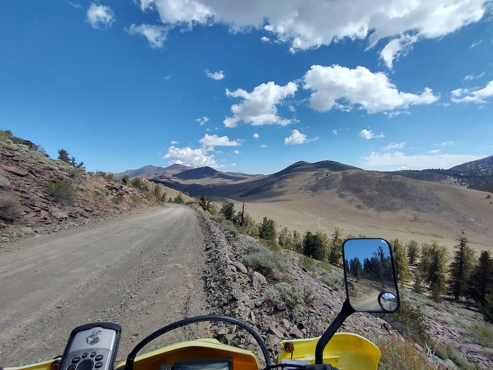
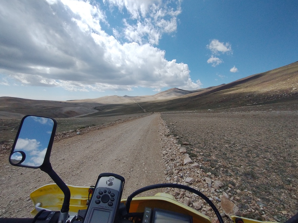
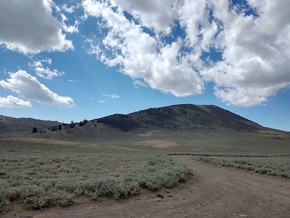
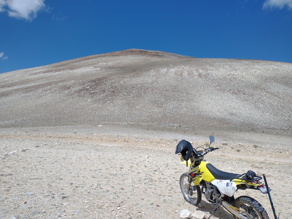
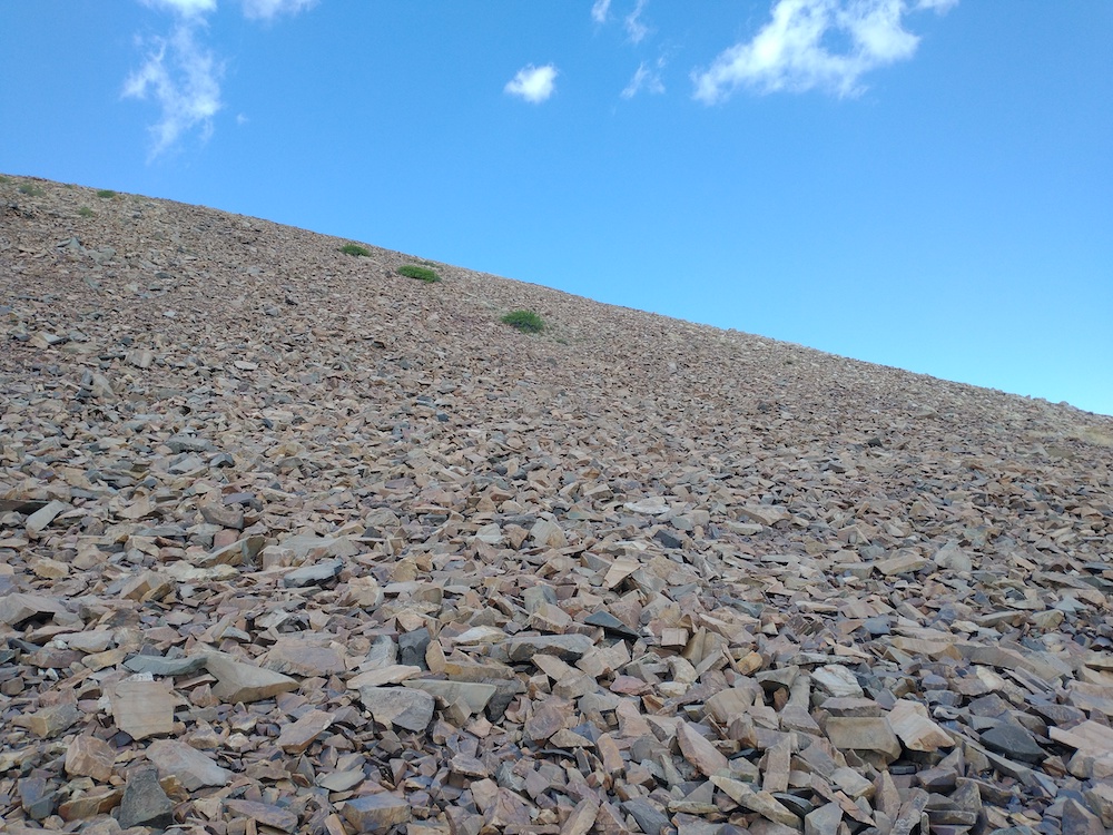
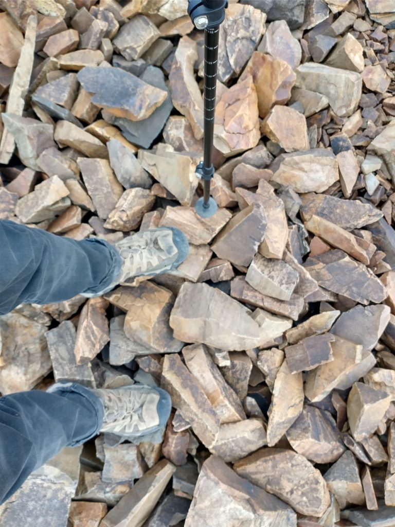
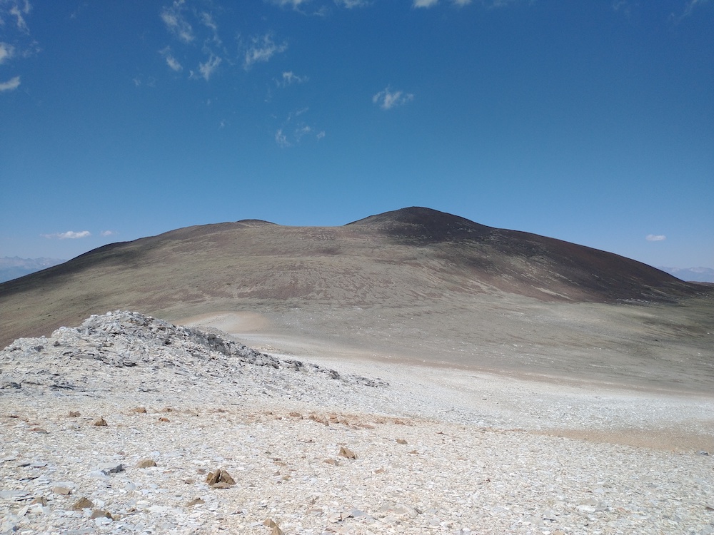
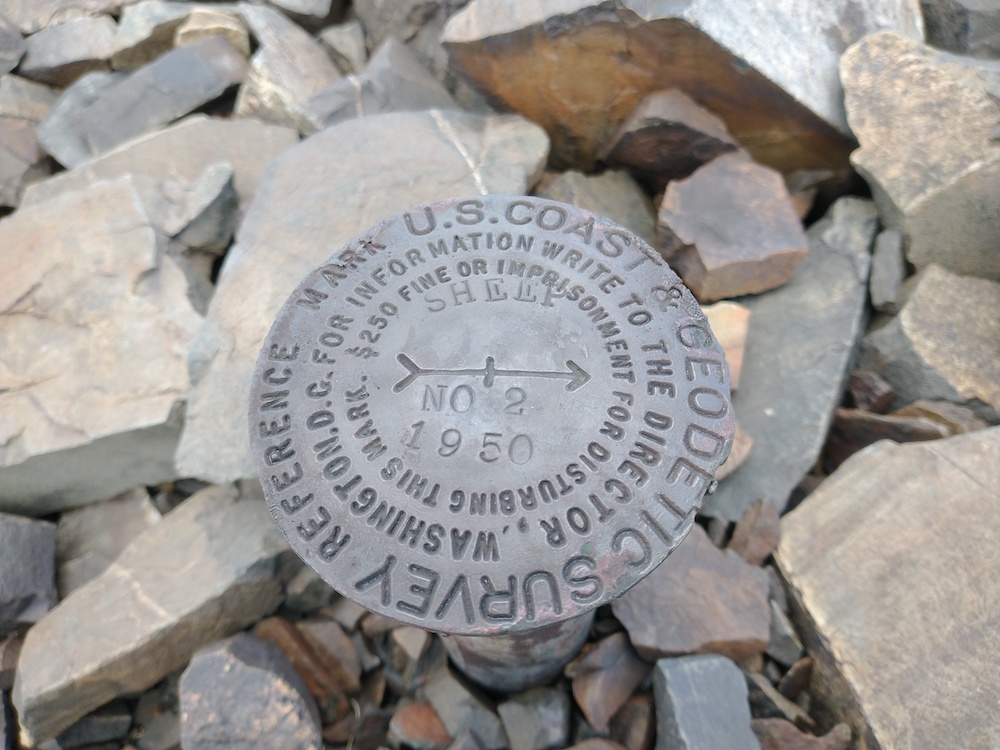
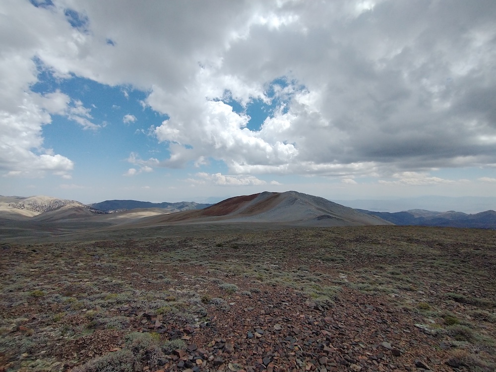
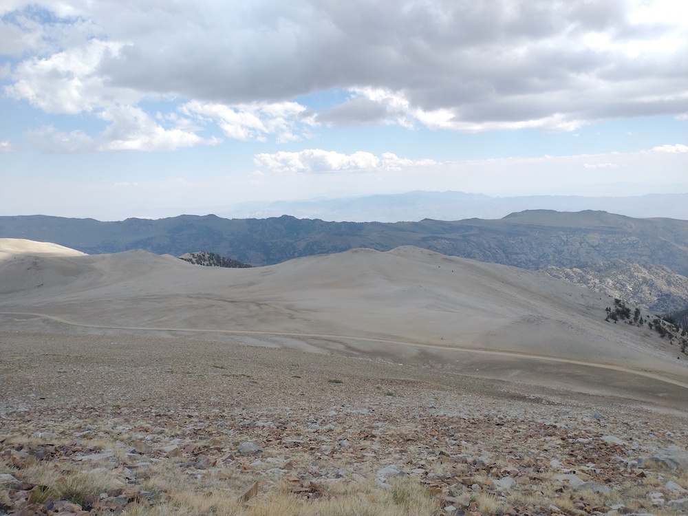
Sheep Mountain is near the end of White Mountain Road. I don’t have a car that will make it down this road reliably, so I brought my dual sport motorcycle which ran well at elevation. I was worried about it, as other carbureted motos I’ve owned completely loose power or refuse to idle when faced with altitude. While the hike wasn’t far, less than two miles, and not insanely steep, the elevation 12,439′ according to my GPS, really slowed me down. After reaching the top and catching my breath, I setup my vertical antenna with 8 radials and spotted myself on 20m via APRS. Made 3 S2S contacts, and 1 POTA contact. Unknown to me at the time of activation, this summit qualifies for summer bonus points, which was a nice surprise. I can’t wait to come back to this area for more hiking in the future!
https://sotl.as/summits/W6/ND-378
Total climbing: 801 ft
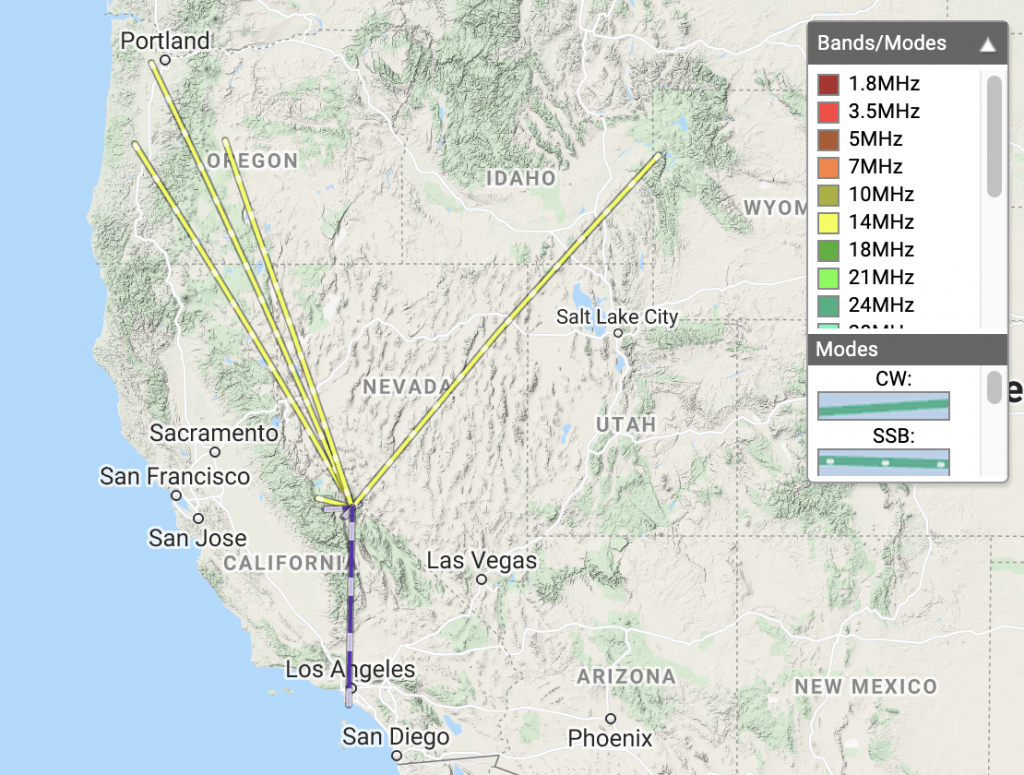
Date:04/07/2021 | Summit:W6/ND-378 (Sheep Mountain)
| Time | Callsign | Band | Mode | Notes |
|---|---|---|---|---|
| 18:51 | W3JPH | 14MHz | SSB | S55 R55 |
| 18:56 | KI7ADV | 14MHz | SSB | S59 R59 S2S W6/SS-252 |
| 18:57 | KE0JVS | 14MHz | SSB | S59 R58 TOM POTA K4026 |
| 18:59 | NS7P | 14MHz | SSB | S52 R33 |
| 19:01 | K7GUD | 14MHz | SSB | S35 R51 S2S W7Y/TT-075 |
| 19:02 | KJ7UIZ | 14MHz | SSB | S59 R52 |
| 19:03 | NW7E | 14MHz | SSB | S59 R55 |
| 19:11 | KG6DTZ | 144MHz | FM | S59 R59 S2S W6/SS-059 |
| 19:12 | WA6IQO | 144MHz | FM | S59 R59 |
| 19:15 | AC6AT | 144MHz | FM | S54 R55 |
| 19:18 | W7WOW | 144MHz | FM | S59 R59 BOB |
| 19:21 | KB6LHM | 144MHz | FM | S59 R59 STEVE |