APRS – Position data over amateur radio


Automatic Packet Reporting System (APRS) is an amateur radio-based system for real time tactical digital communications of information of immediate value in the local area. In addition, all such data are ingested into the APRS Internet System (APRS-IS) and distributed globally for ubiquitous and immediate access. Along with messages, alerts, announcements, and bulletins, the most visible aspect of APRS is its map display. Anyone may place any object or information on his or her map, and it is distributed to all maps of all users in the local RF network or monitoring the area via the Internet. Any station, radio, or object that has an attached GPS is automatically tracked. Other prominent map features are weather stations, alerts and objects and other map-related amateur radio volunteer activities including Search and Rescue and signal direction finding.

Ventura refinery ride

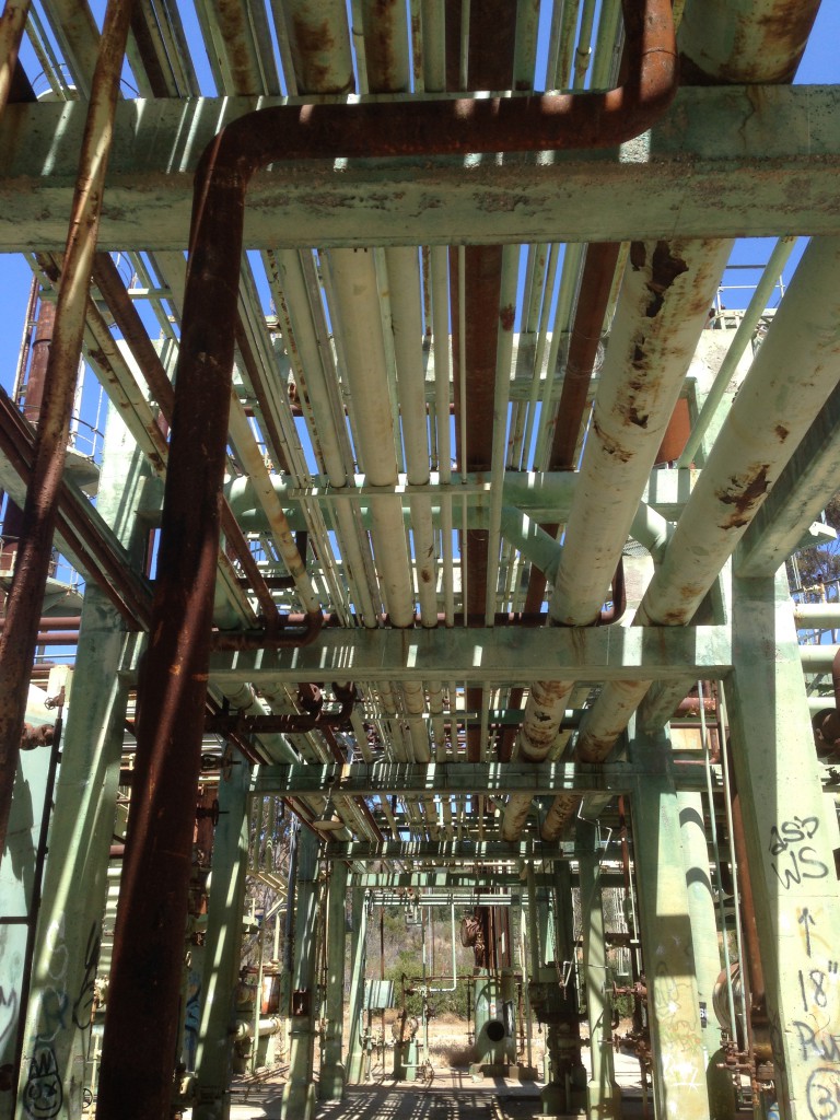
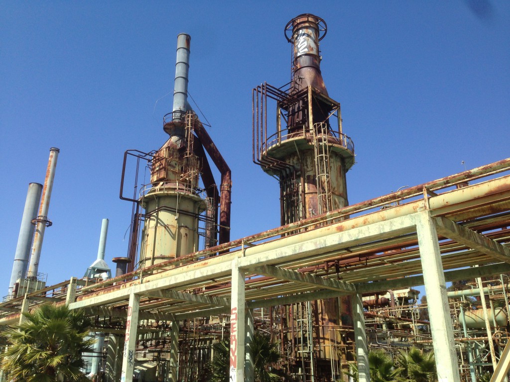
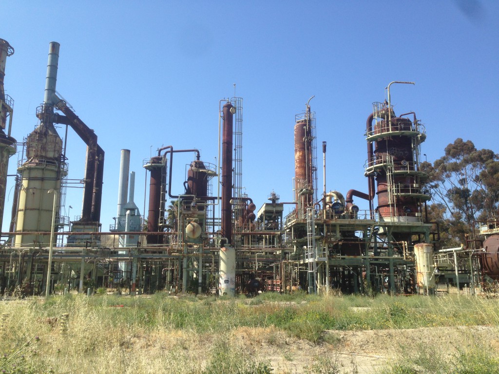
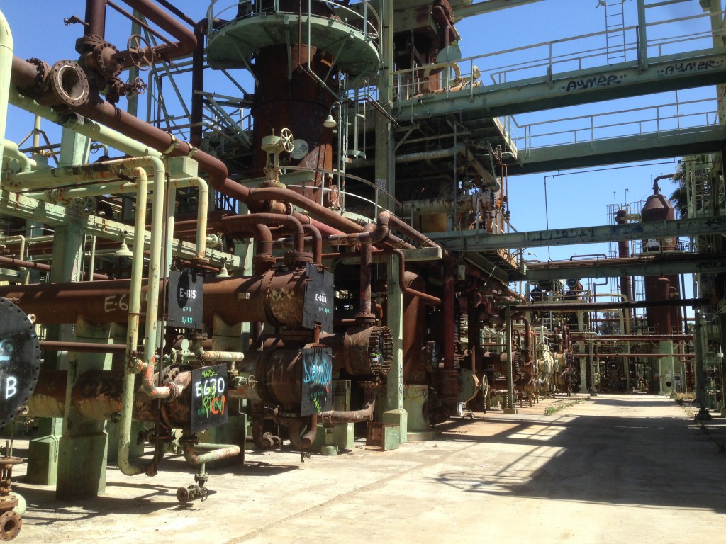
IMG_1741 IMG_1743 IMG_1747 IMG_1750 IMG_1751Vlad wanted to make a trip up to Ventura to explore a abandoned refinery.  I thought I had visited this site several years ago, but this one was completely different.  How many abandoned refineries are there in Ventura?

Total distance: 161.22 mi
Max elevation: 1554 ft
Total climbing: 6882 ft
Total time: 08:45:48
Download file: 20150510.gpx

Somewhere in Brazil?

I made a visit to Saõ Paulo, I left my GPS on in a taxi and captured the tracks.

Total distance: 13.87 mi
Max elevation: 2710 ft
Total climbing: 1199 ft
Total time: 00:45:13
Download file: 20150325.gpx

Rincon Trail

Braaappppppppp!

Screen Shot 2015-05-13 at 10.21.52 AM

 Click here for official info

Total distance: 99.05 mi
Max elevation: 4526 ft
Total climbing: 9265 ft
Total time: 08:58:41
Download file: 20150419.gpx