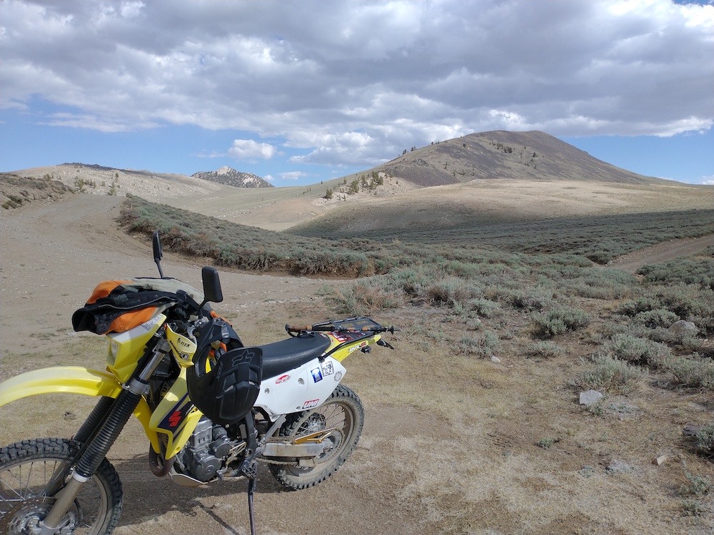
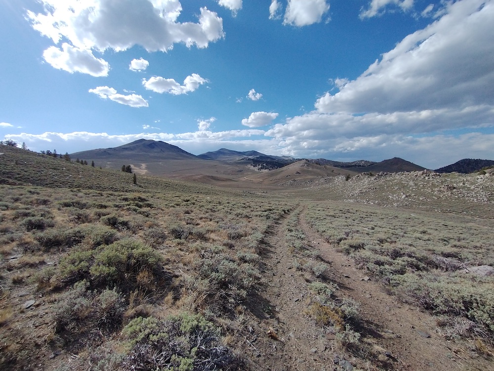
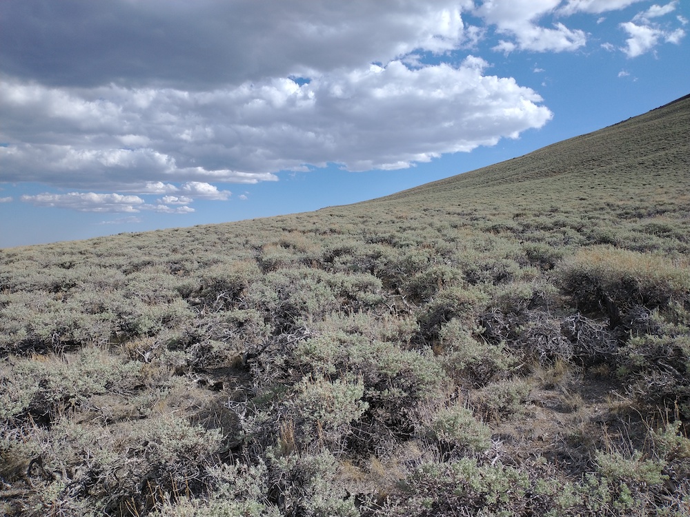
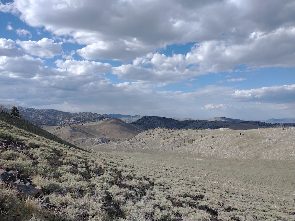
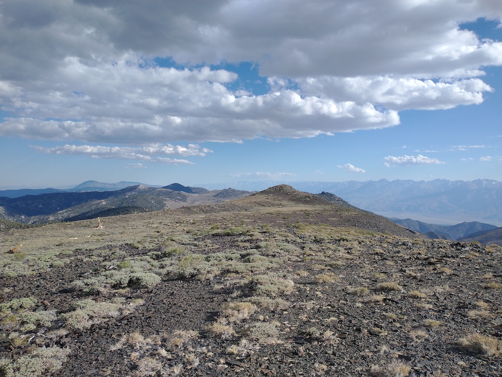
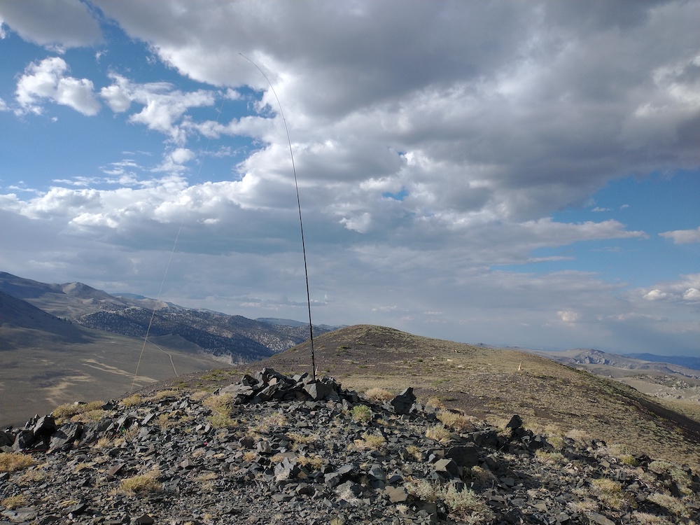
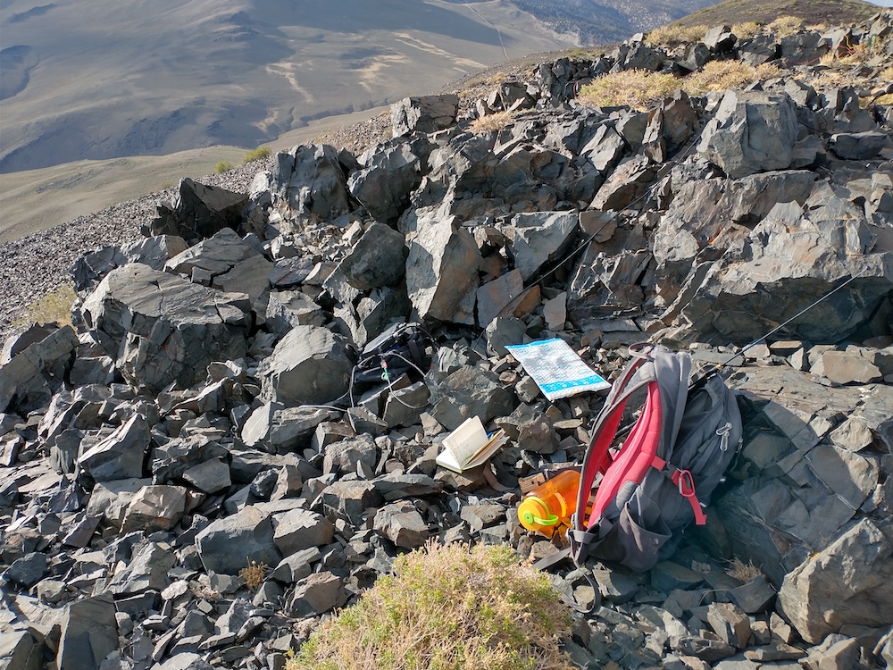
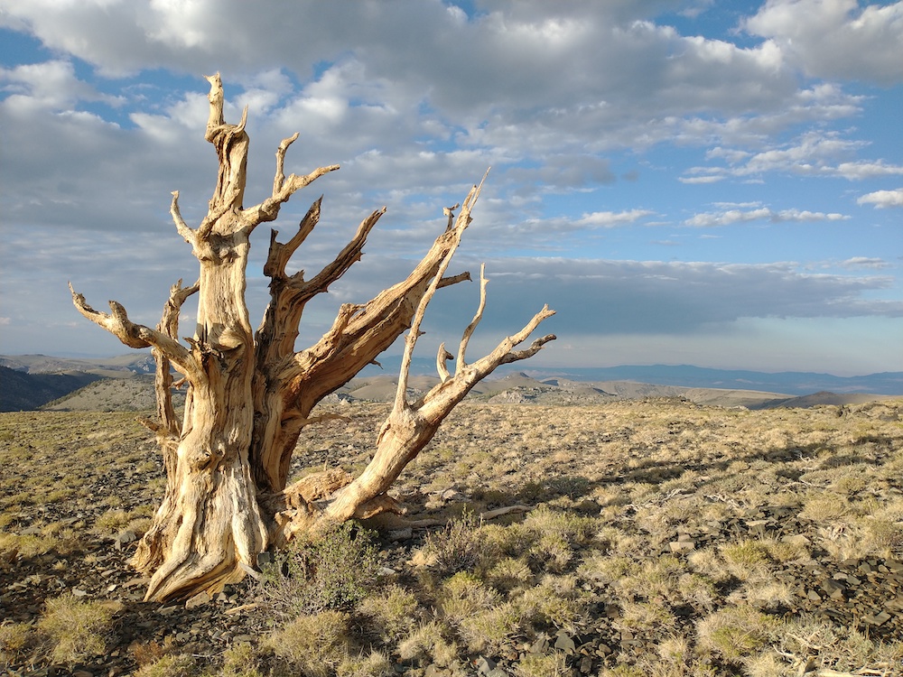
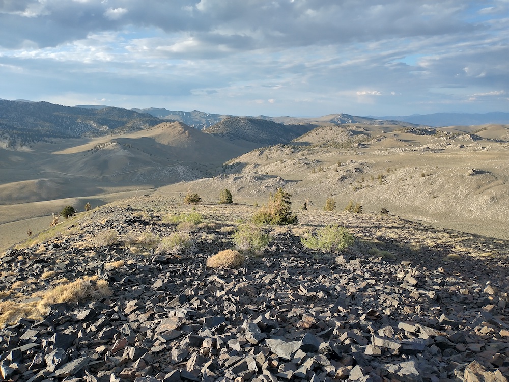
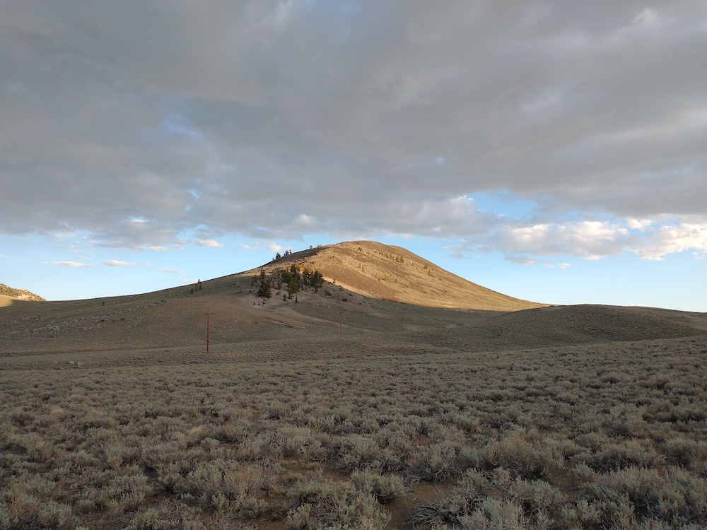
This summit is in the White Mountain range. I hiked an old two track road to the east side of the hill, then headed straight up to the summit through thick, knee high sage. Once on the ridge it was easy to get over to the summit. Worked 2M FM, 20M, and 40M SSB. On the way down, I took the ridge down to see if there was anything left of old prospecting mines marked on the forest service maps. I found a couple old tin cans and collapsed mine shafts.
https://sotl.as/summits/W6/WH-006
Total distance: 3.87 mi
Total climbing: 1144 ft
Download file: County%20Line%20Hill.GPX
Total climbing: 1144 ft
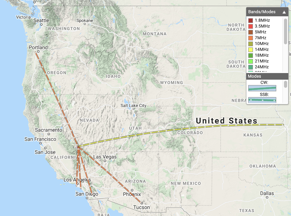
Date:04/07/2021 | Summit:W6/WH-006 (County Line Hill)
| Time | Callsign | Band | Mode | Notes |
|---|---|---|---|---|
| 01:34 | KM6QCE | 144MHz | FM | S59 R59 |
| 01:35 | WA6IQO | 144MHz | FM | S59 R59 |
| 01:36 | W0MNA | 14MHz | SSB | S59 R59 |
| 01:38 | W0ERI | 14MHz | SSB | S59 R59 |
| 01:40 | AL6H | 14MHz | SSB | S54 R55 |
| 01:52 | K6HPX | 7MHz | SSB | S55 R51 |
| 01:53 | KJ7UIZ | 7MHz | SSB | S58 R56 |
| 01:54 | K6CWC | 7MHz | SSB | S55 R48 |
| 01:55 | K6LDQ | 7MHz | SSB | S55 R36 |
| 01:56 | KX6A | 7MHz | SSB | S55 R33 |
