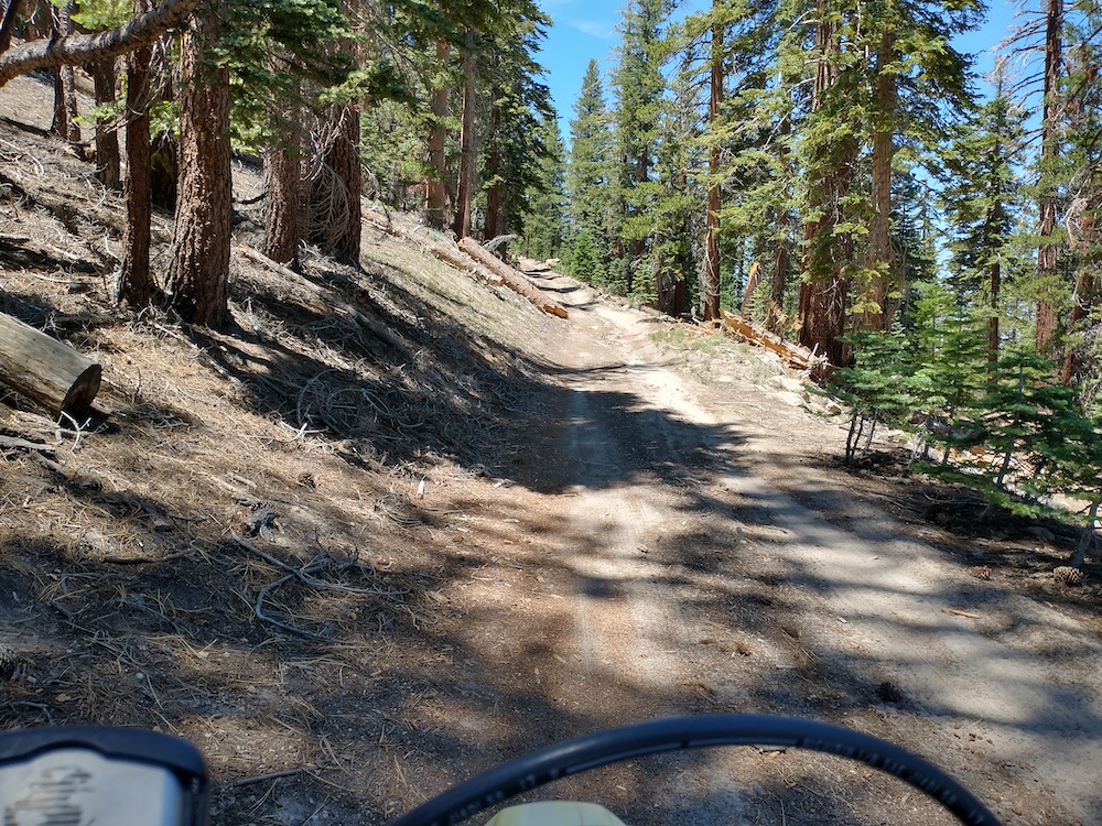
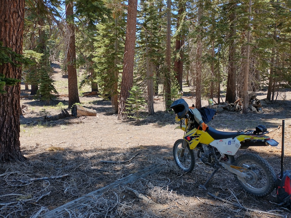
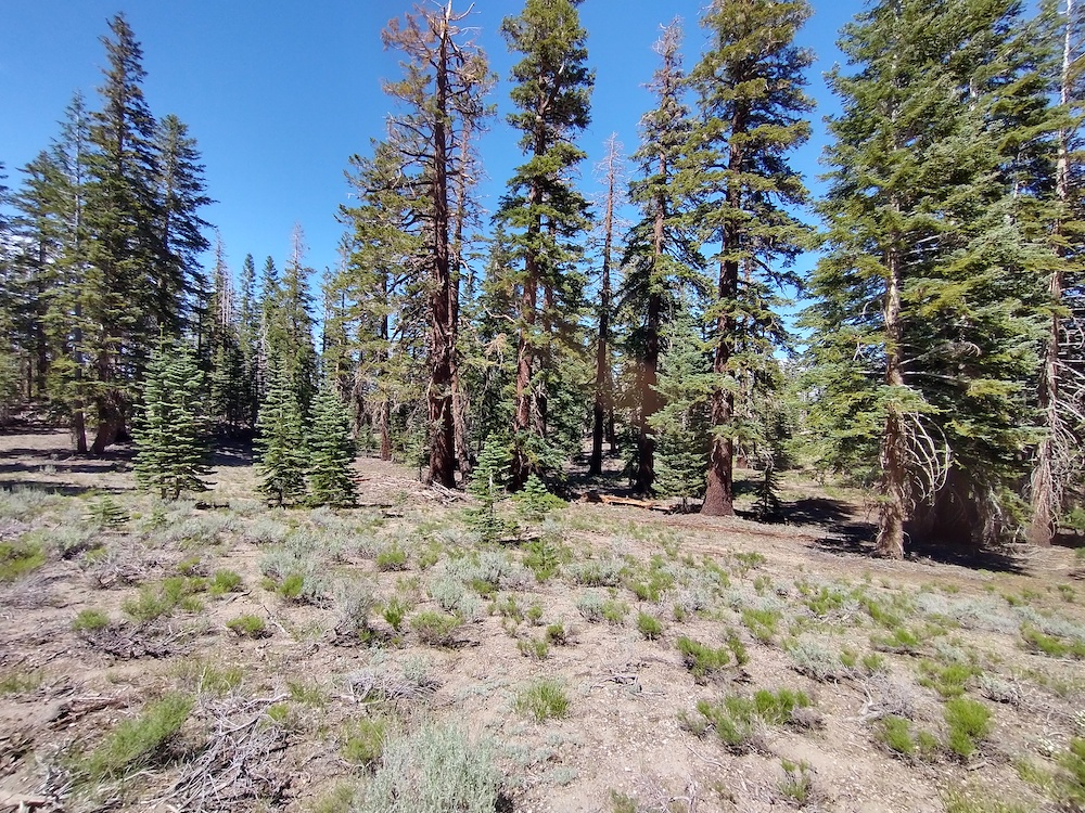
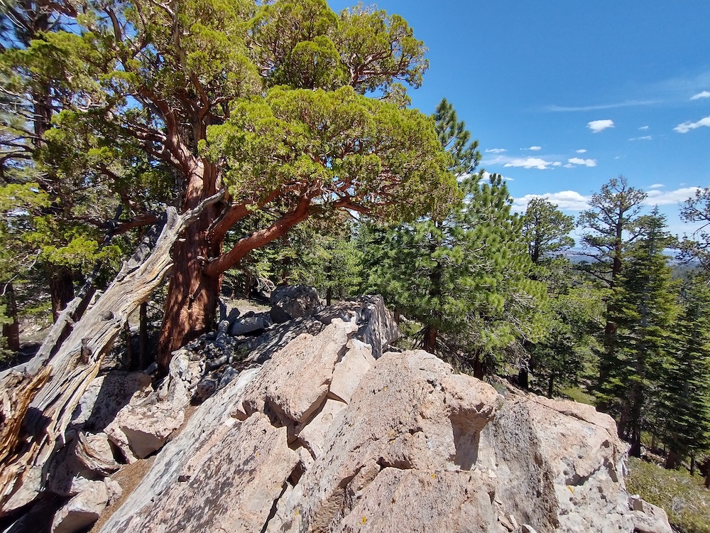
Dry Creek Knoll is just outside Mammoth Lakes and, a pretty easy summit to bag if you’re in the area. This could be a drive up, but I don’t think a sedan would make it. I took Mammoth Scenic Loop from Hwy 395, then took one of the several off-highway roads and meandered up to the top by loosely following my GPS. Once near the summit, I parked the moto off the side of the road and hiked the rest of the way. At the very top is a small rock pile, which wasn’t a great place to setup my vertical and spread out the radials. I ended up setting up slightly off to the side of these rocks. Worked 20m, 40m SSB, and 30m CW. One S2S to Washington State on 20m.
https://sotl.as/summits/W6/ND-392
Total distance: 0.35 mi
Total climbing: 234 ft
Download file: DryCreekKnoll.GPX
Total climbing: 234 ft
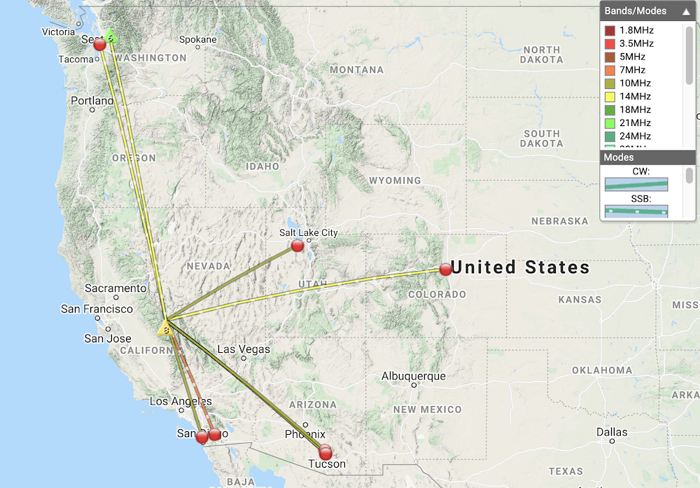
Date:07/07/2021 | Summit:W6/ND-392 (Dry Creek Knoll)
| Time | Callsign | Band | Mode | Notes |
|---|---|---|---|---|
| 20:38 | WW7D | 14MHz | SSB | S44 R44 S2S W7W/SN-105 |
| 20:40 | WU7H | 14MHz | SSB | S57 R33 |
| 21:15 | AD0WB | 14MHz | SSB | S59 R57 |
| 21:32 | K6HPX | 7MHz | SSB | S55 R51 |
| 21:33 | K6CWC | 7MHz | SSB | S45 R33 |
| 21:39 | N7HNL | 7MHz | SSB | S33 R45 |
| 21:52 | K6HPX | 10MHz | CW | S599 R599 |
| 21:52 | W6TED | 10MHz | CW | S599 R42N |
| 21:54 | WY7N | 10MHz | CW | S599 R599 |
| 21:59 | N6PKT | 10MHz | CW | S599 R33N |
