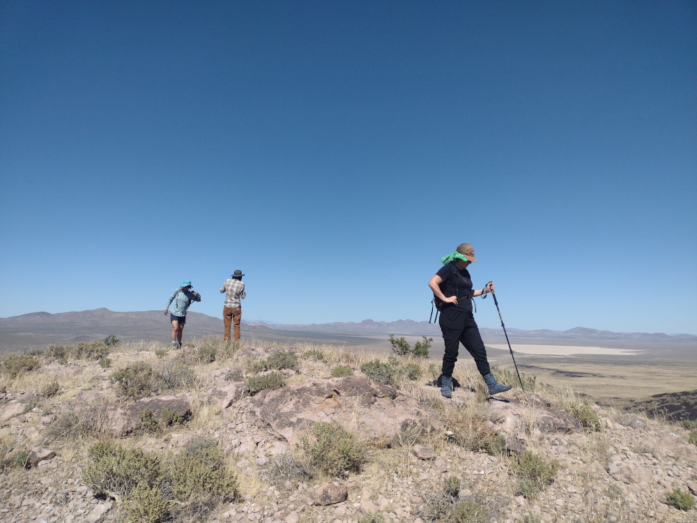
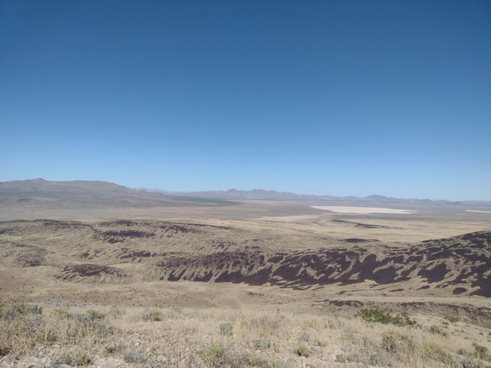
This was our second summit of the day, having just come from Mesa Benchmark. While most of the trails in the area are in pretty good shape, driving the trail to the bottom of this summit was pretty rough in some places. I was happy to have 4L in two spots, although, I sure you could just “send it” and it would have been fine. I’m assuming there is a better way than the path I took.
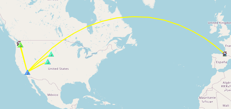
The hike starts out pretty steep, tapering off to a flat ridge before one last final climb to the top. It’s around 1/2 mile one way, but a tad over 500′ of elevation gain. I setup my broken antenna which only works on 20M and started calling CQ. Made several S2S contacts to Washington State and Colorado which is always a treat.
After exhausting the chasers and packing up everything, we headed down the hill the way we came, then headed back to our camp.
https://sotl.as/summits/W6/ND-285
Total climbing: 551 ft

Date:07/10/2023 | Summit:W6/ND-285 (3951)
| Time | Callsign | Band | Mode | Notes |
|---|---|---|---|---|
| 20:01 | KM6FXK | 144MHz | FM | S59 R59 |
| 20:12 | KI7DAD | 14MHz | CW | S55N R599 |
| 20:14 | W7UM | 14MHz | CW | S55N R55N S2S W0C/FR-085 |
| 20:14 | F4WBN | 14MHz | CW | S54N R599 |
| 20:15 | N7CHN | 14MHz | CW | S53N R54N |
| 20:17 | WU7D | 14MHz | CW | S57N R57N S2S W7W/CW-065 |
| 20:18 | WW7D | 14MHz | CW | S57N R57N S2S W7W/CW-065 |
| 20:19 | KX0R | 14MHz | CW | S57N R55N S2S W0C/FR-174 |
| 20:21 | KT0A | 14MHz | CW | S55N R56N S2S W0D/BB-024 |
| 20:22 | K7AMM | 14MHz | CW | S57N R52N |
| 20:22 | N7EDK | 14MHz | CW | S55N R599 |
| 20:23 | NM5SXM | 14MHz | CW | S57N R55N |
| 20:24 | AC7MA | 14MHz | CW | S57N R55N |
| 20:25 | N7SE | 14MHz | CW | S52N R53N |


