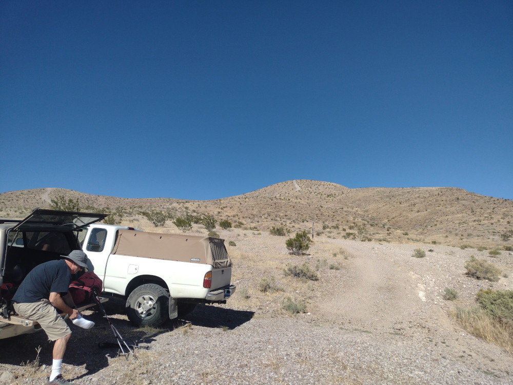
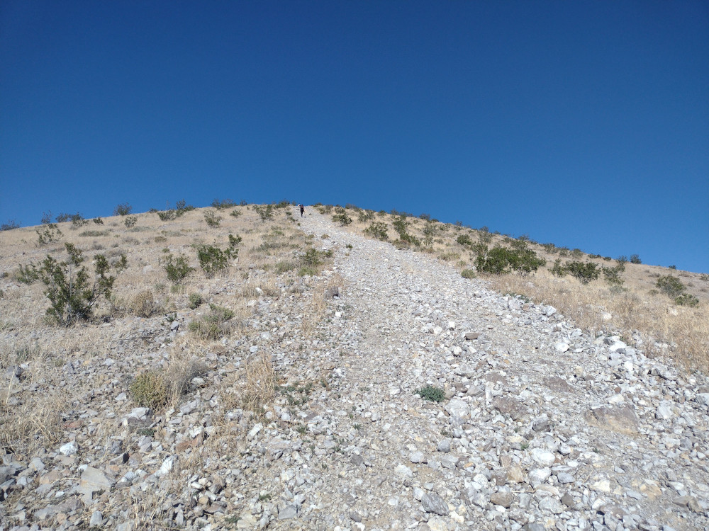
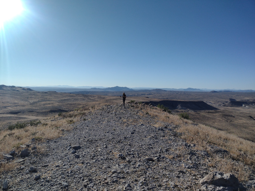
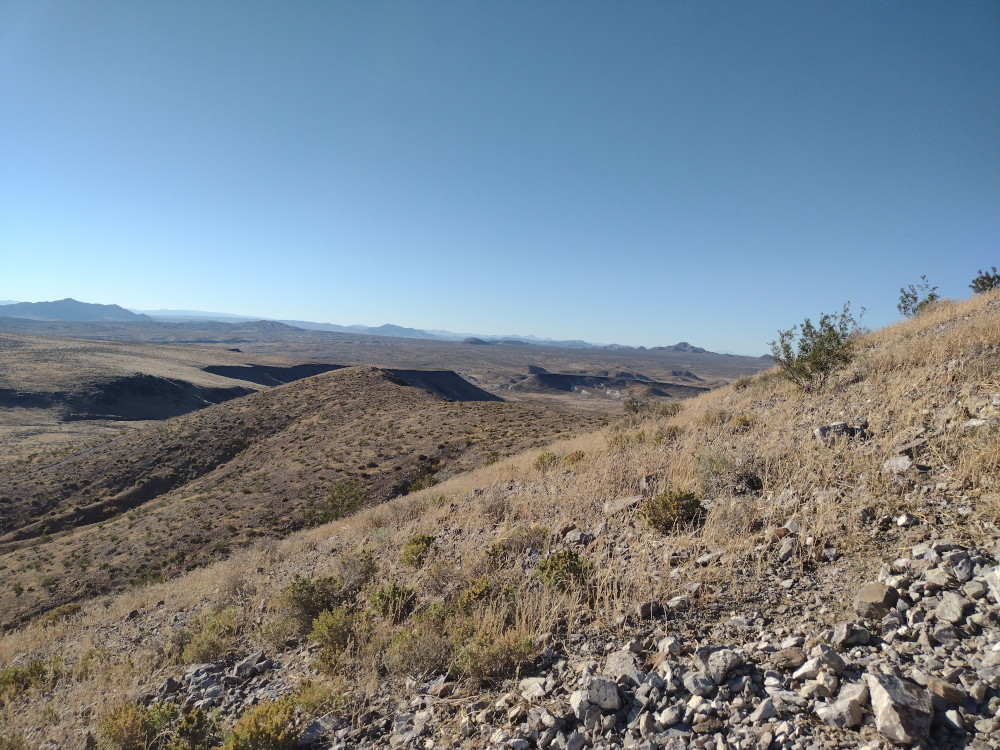
This was the second summit of the day, having just come from a short activation of Waterman Hills. By surprise, my wife and I ran into our pal Buck on the corner of Copper Canyon Road and Irwin Road. He had come up from San Diego to camp with us, however I didn’t expect him to arrive to early. That being said, I invited him to hike up to Opal Mountain with us. On the way to the trailhead we stopped in various locations to look at petroglyphs, Indian circles, and possible places to camp in the future. A bit over an hour through the desert trails, we got to the start. The hike up is pretty steep and rocky, but short. I didn’t find a summit register or a benchmark. Worked 20M CW and headed down pretty quickly. Back at the truck we drank some beers and headed over to a dry lake where we were meeting other friends to camp.
https://sotl.as/summits/W6/ND-284
Total climbing: 461 ft
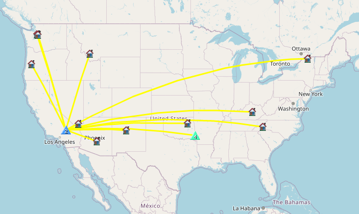
Date:06/10/2023 | Summit:W6/ND-284 (Opal Mountain)
| Time | Callsign | Band | Mode | Notes |
|---|---|---|---|---|
| 23:13 | K7AMM | 14MHz | CW | S55N R55N |
| 23:13 | WW7D | 14MHz | CW | S57N R57N |
| 23:14 | N7CNH | 14MHz | CW | S53N R52N |
| 23:17 | AK5SD | 14MHz | CW | S44N R31N S2S W5A/CS-020 |
| 23:18 | N4LAG | 14MHz | CW | S56N R42N |
| 23:20 | W5ODS | 14MHz | CW | S57N R57N |
| 23:20 | K2LT | 14MHz | CW | S22N R22N |
| 23:21 | WU7H | 14MHz | CW | S58N R55N |
| 23:22 | N7EDK | 14MHz | CW | S51N R55N |
| 23:23 | W7SKH | 14MHz | CW | S33N R55N |
| 23:23 | KE5AKL | 14MHz | CW | S57N R55N |
| 23:24 | W7CBR | 14MHz | CW | S22N R33N |
| 23:25 | N4GO | 14MHz | CW | S55N R32N |
| 23:26 | AK7U | 14MHz | CW | S57N R53N |