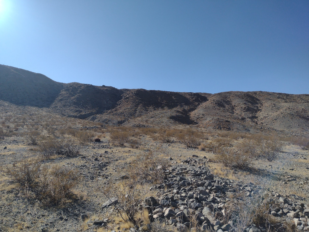
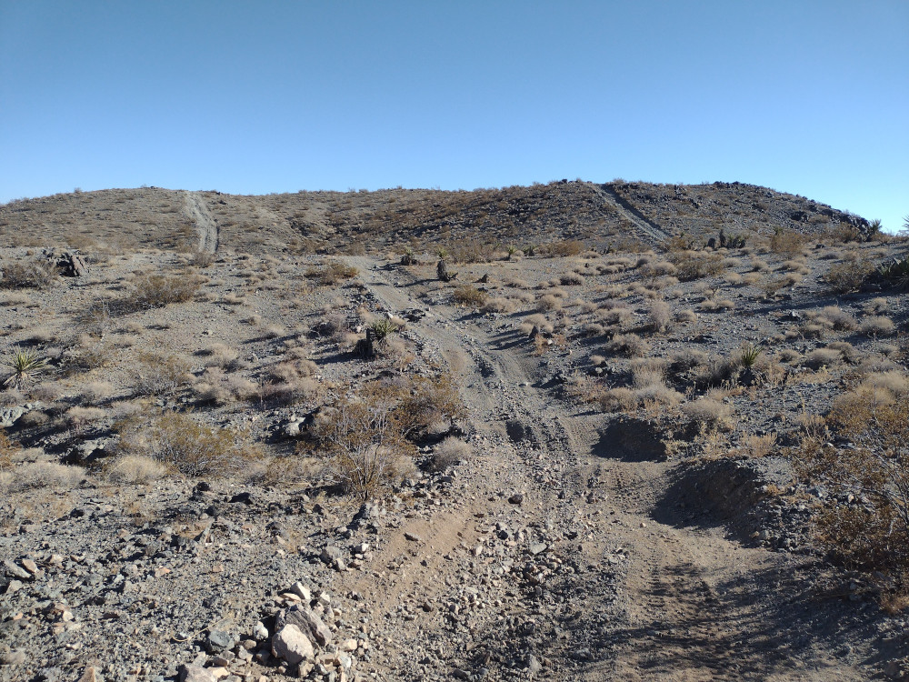
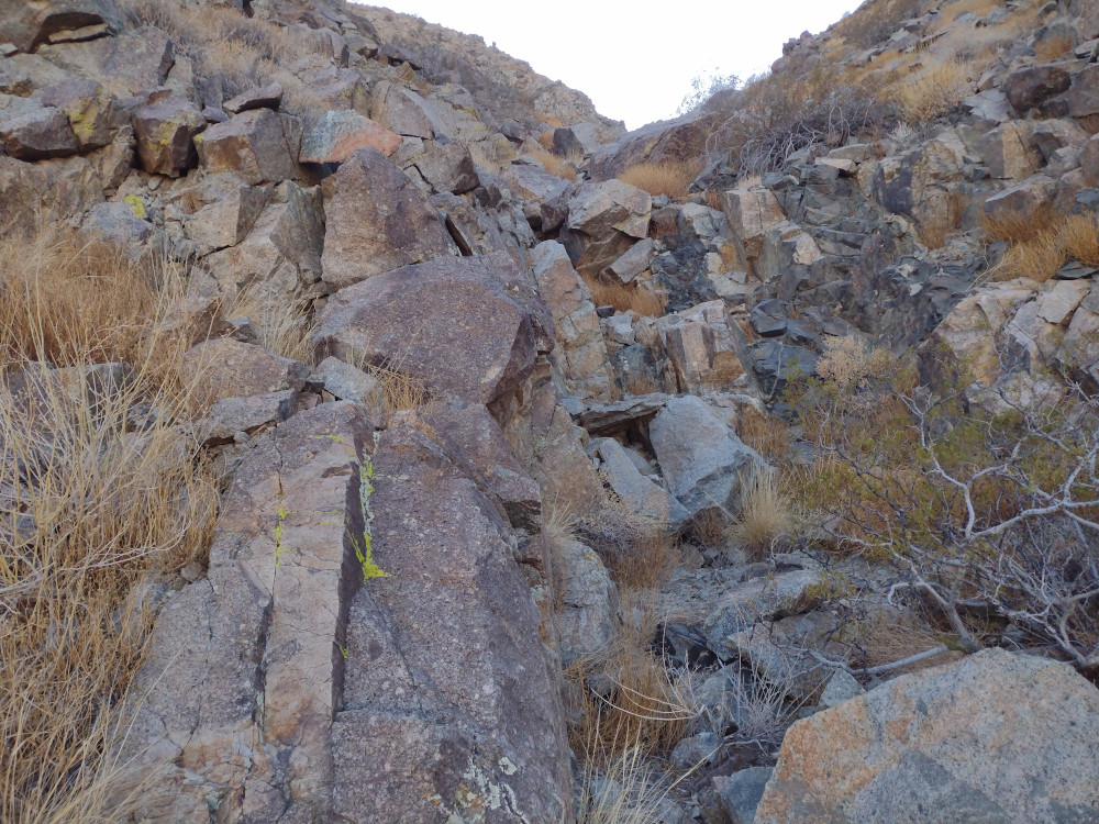
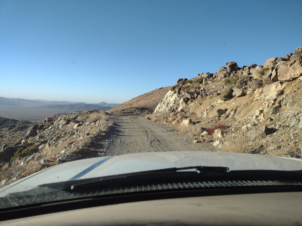
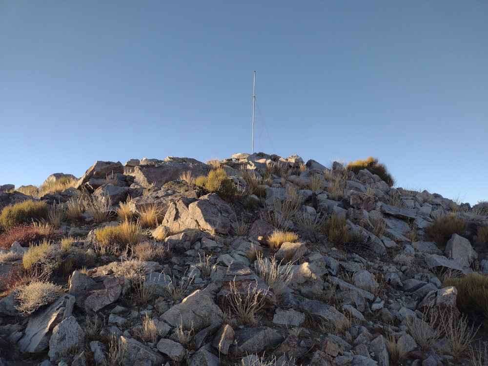
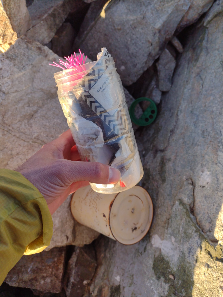
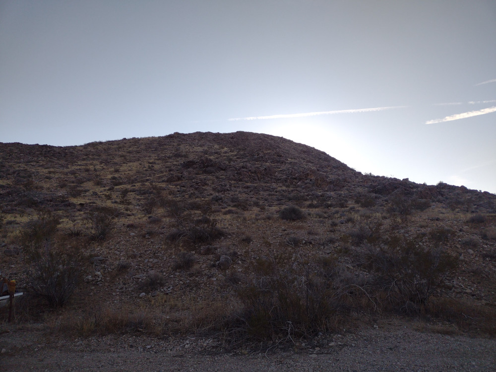
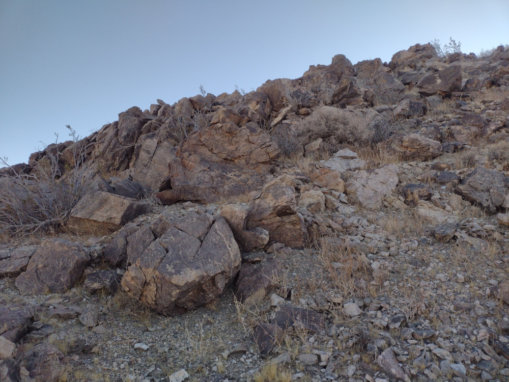
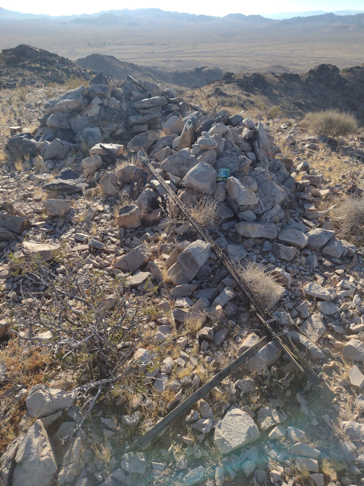
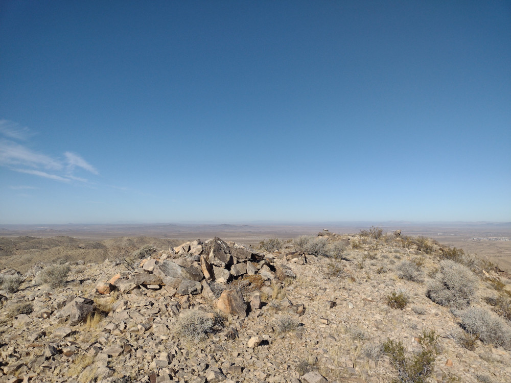
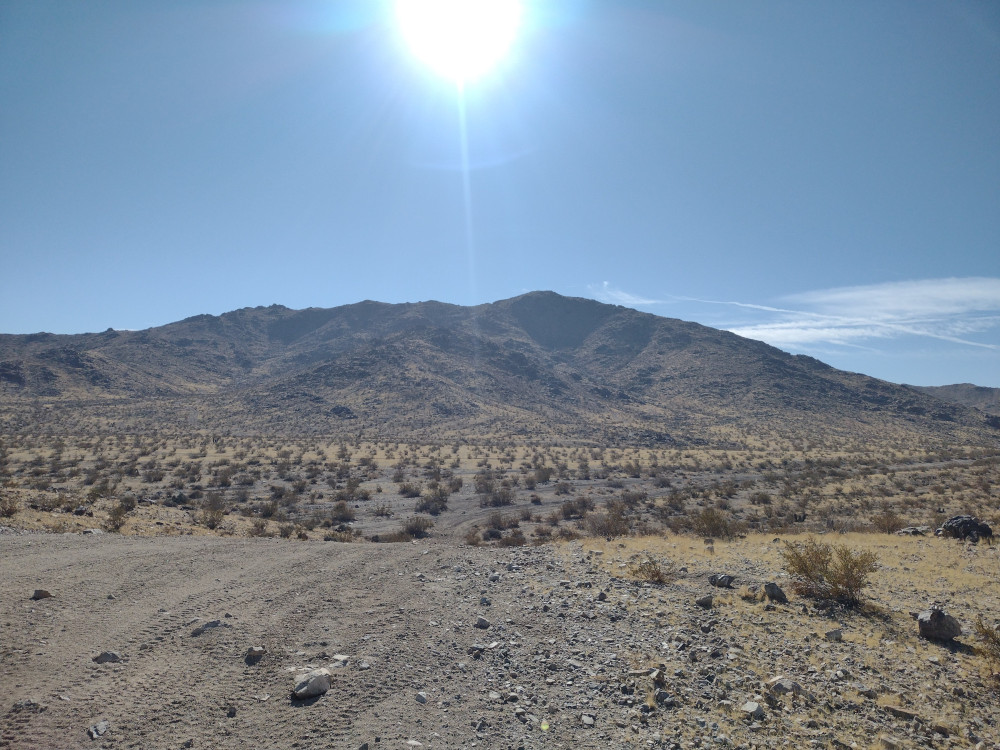
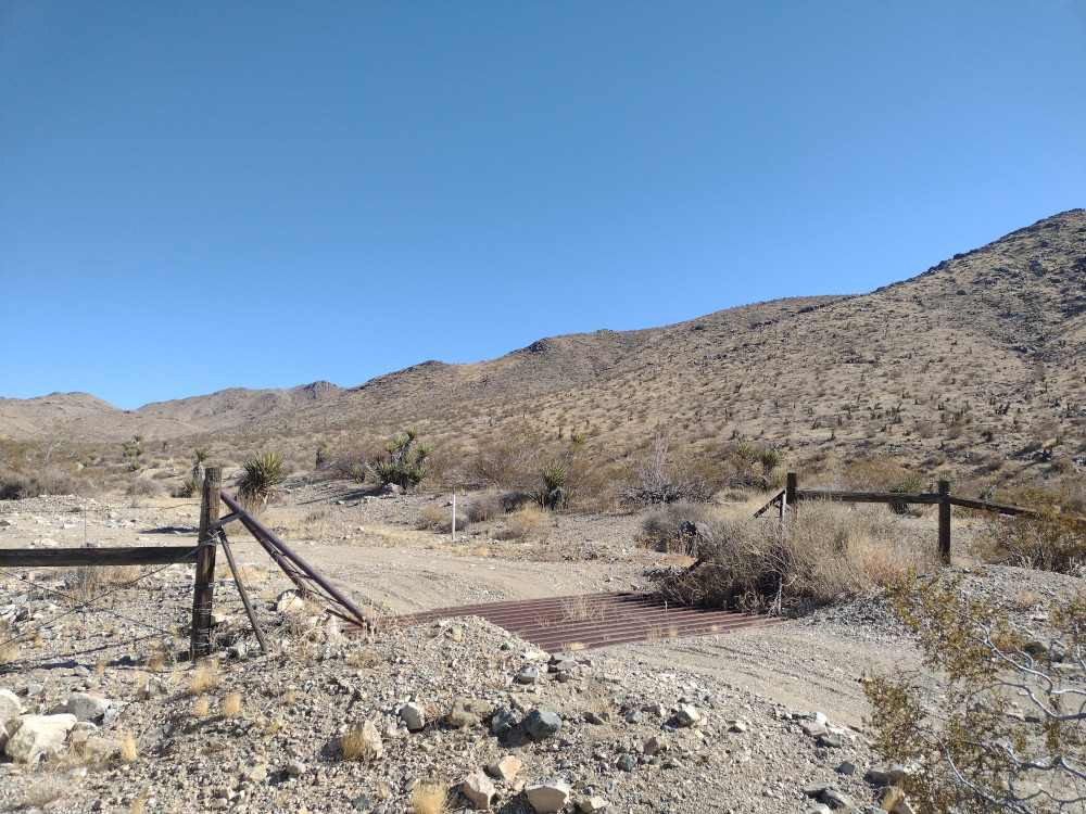
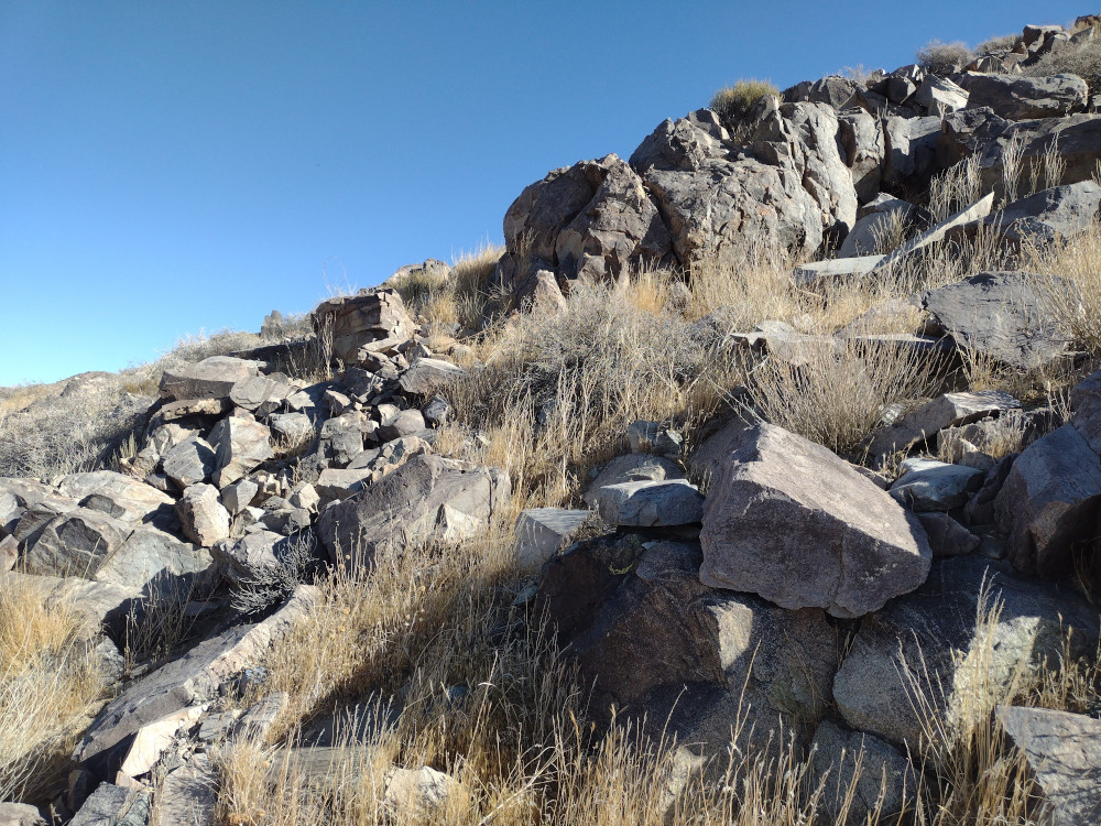
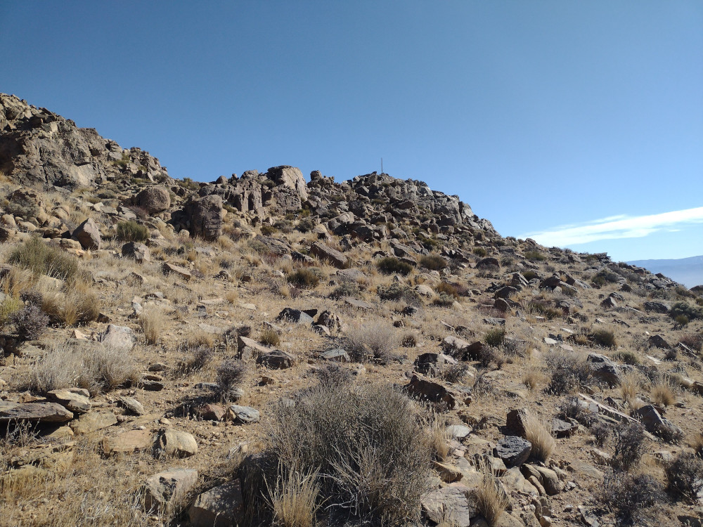
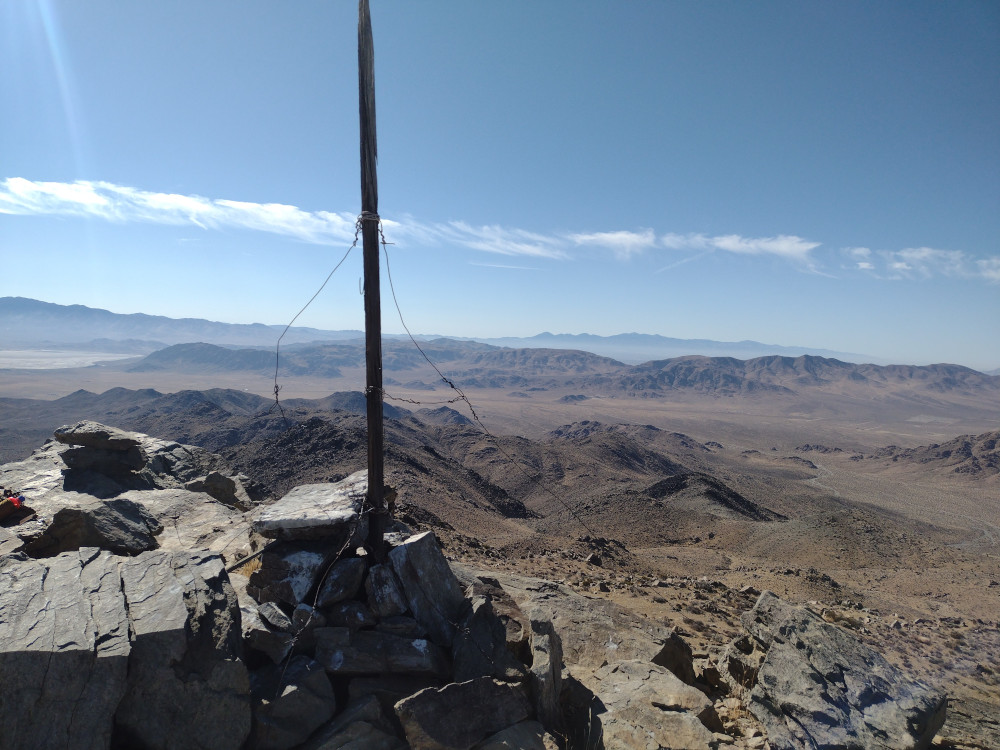
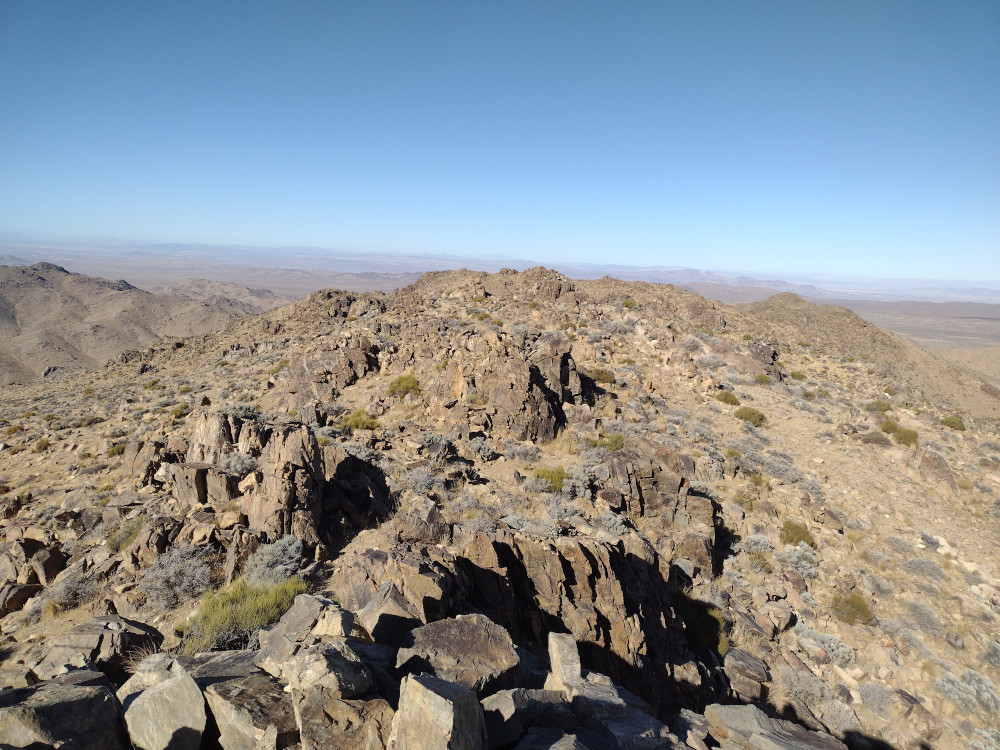
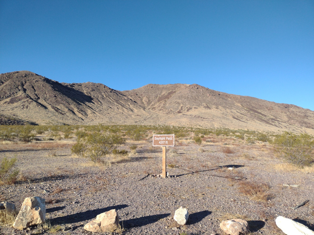
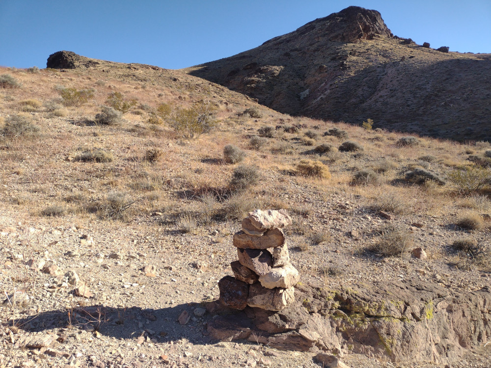
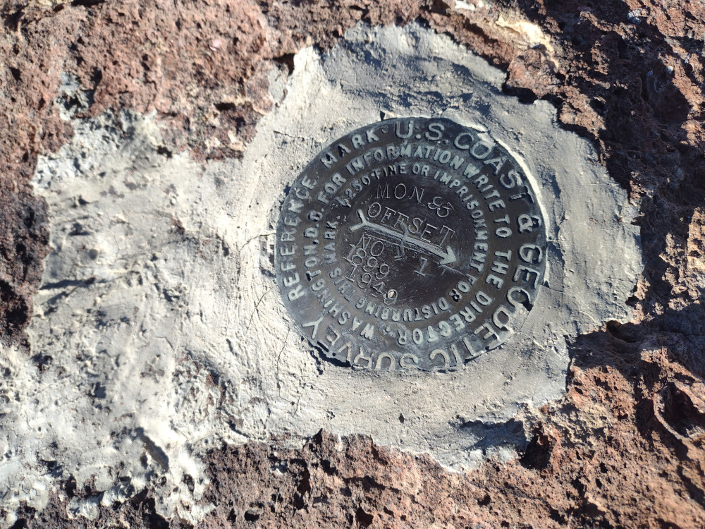
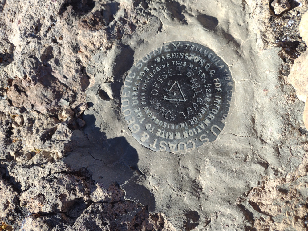
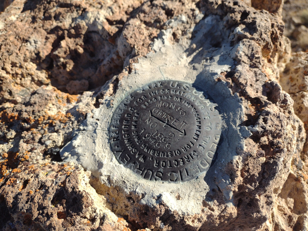
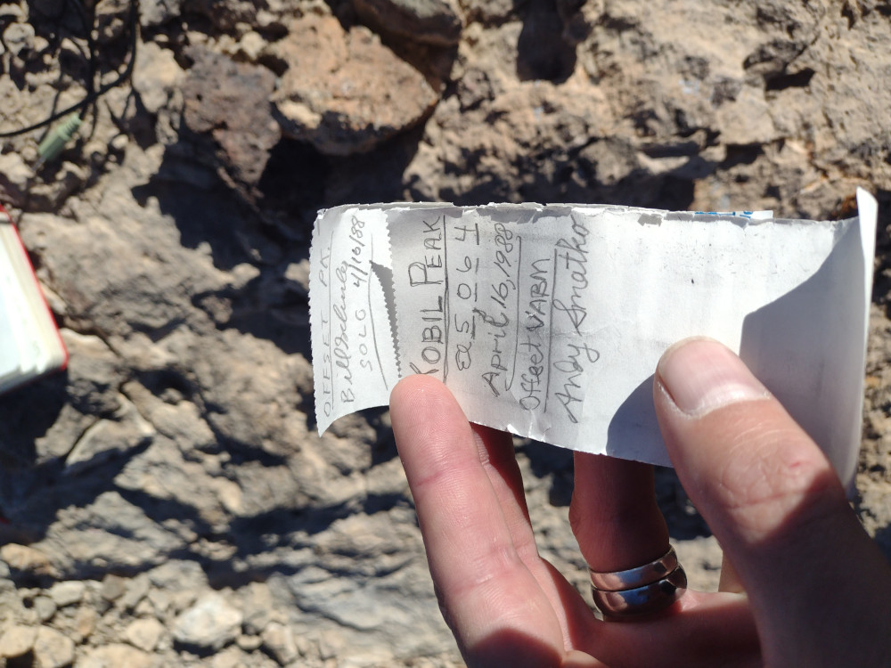
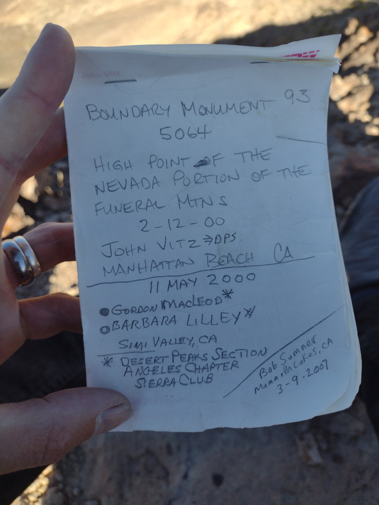
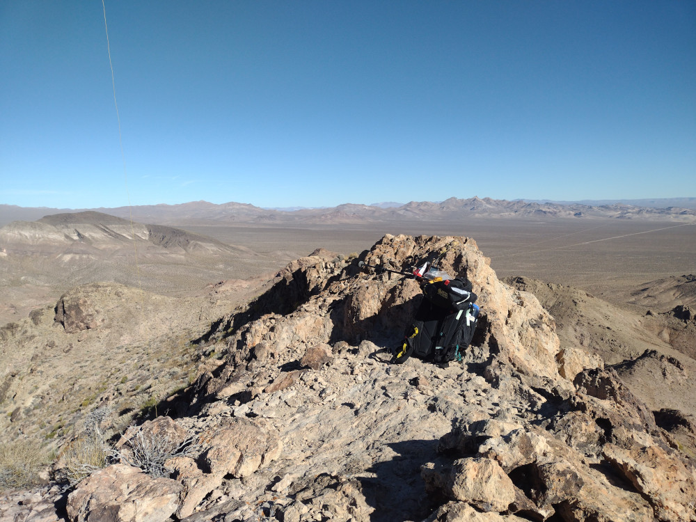
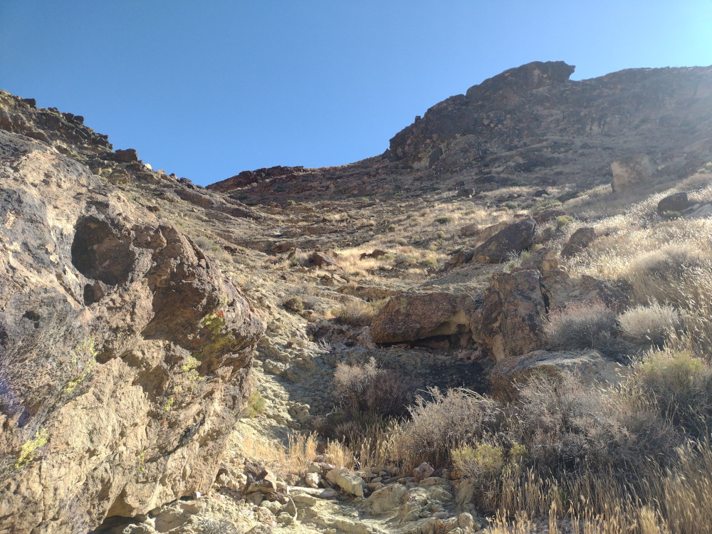
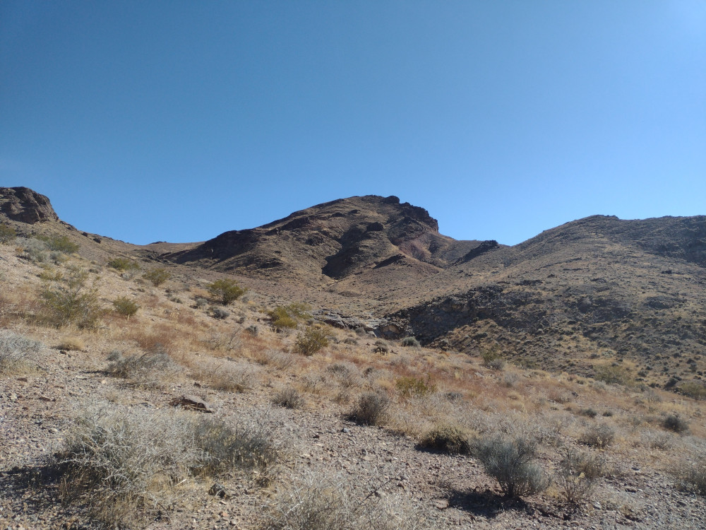
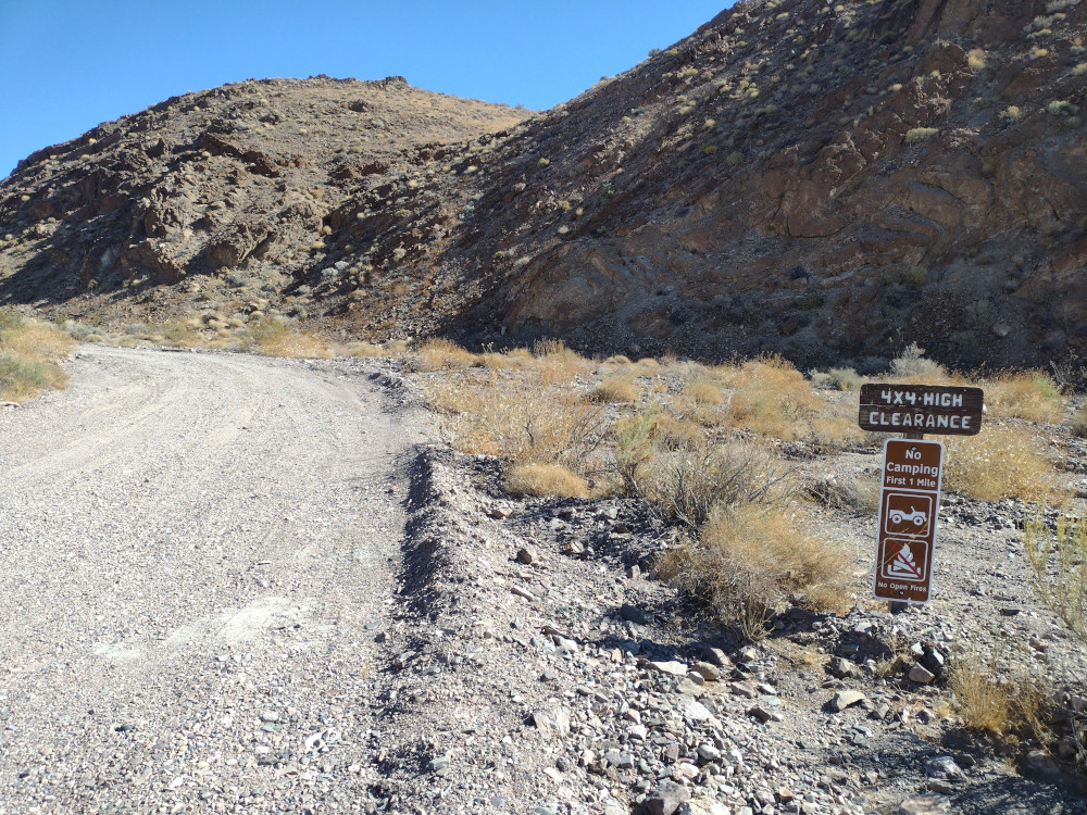
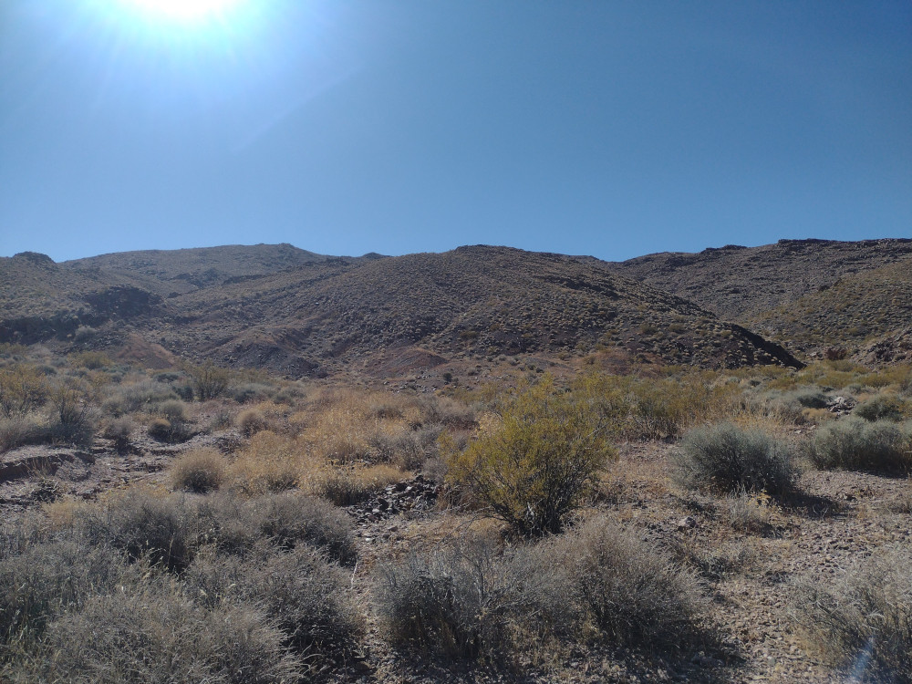
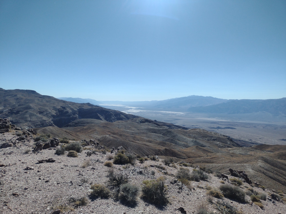
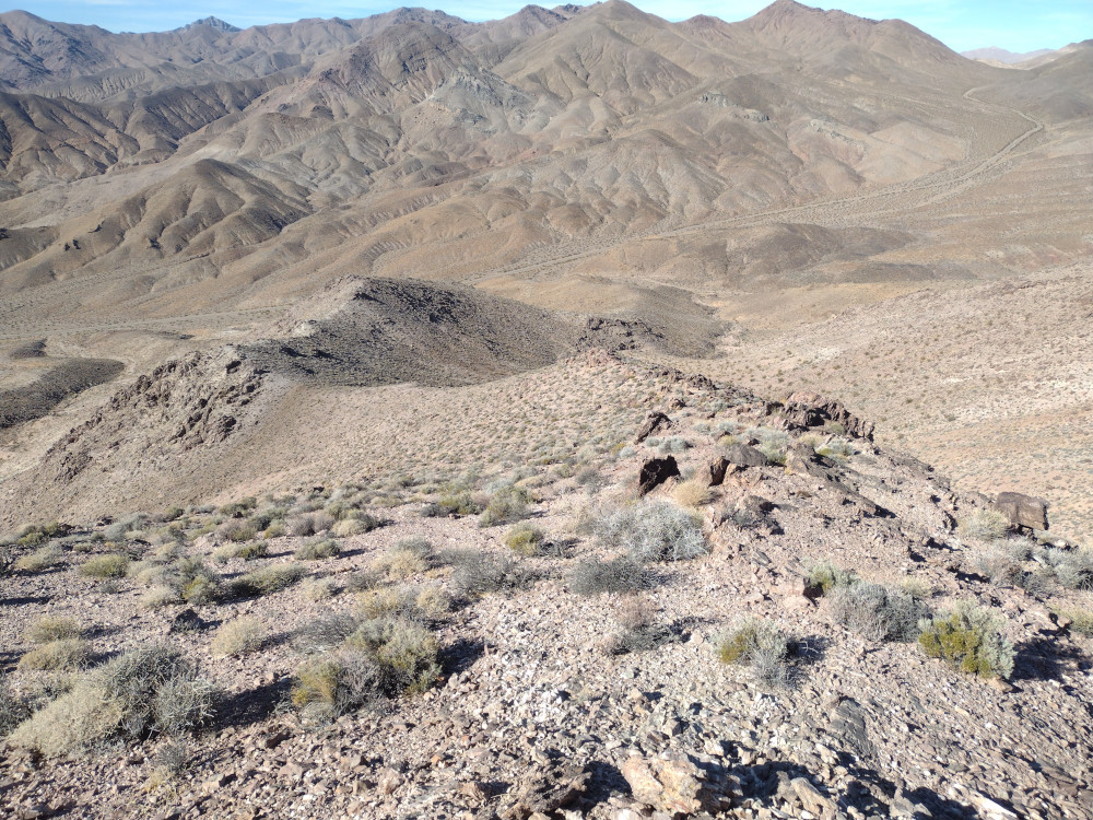
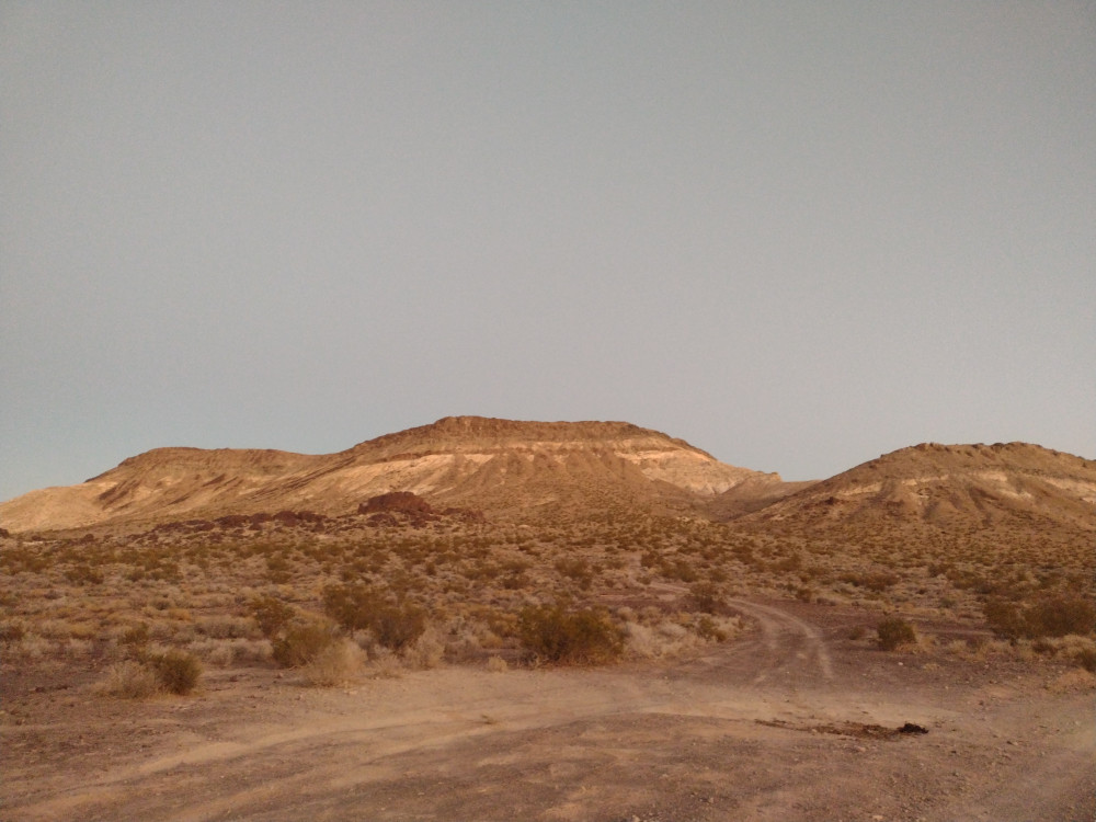
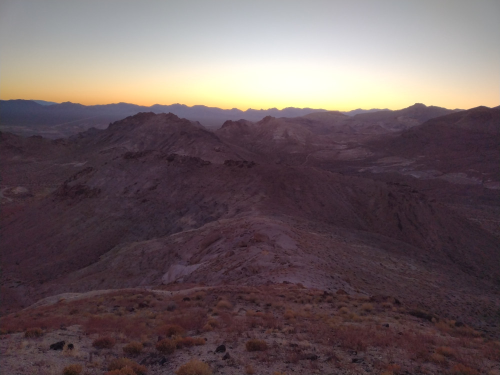
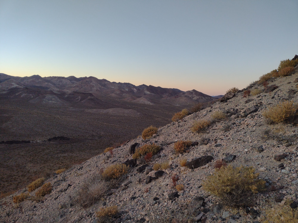
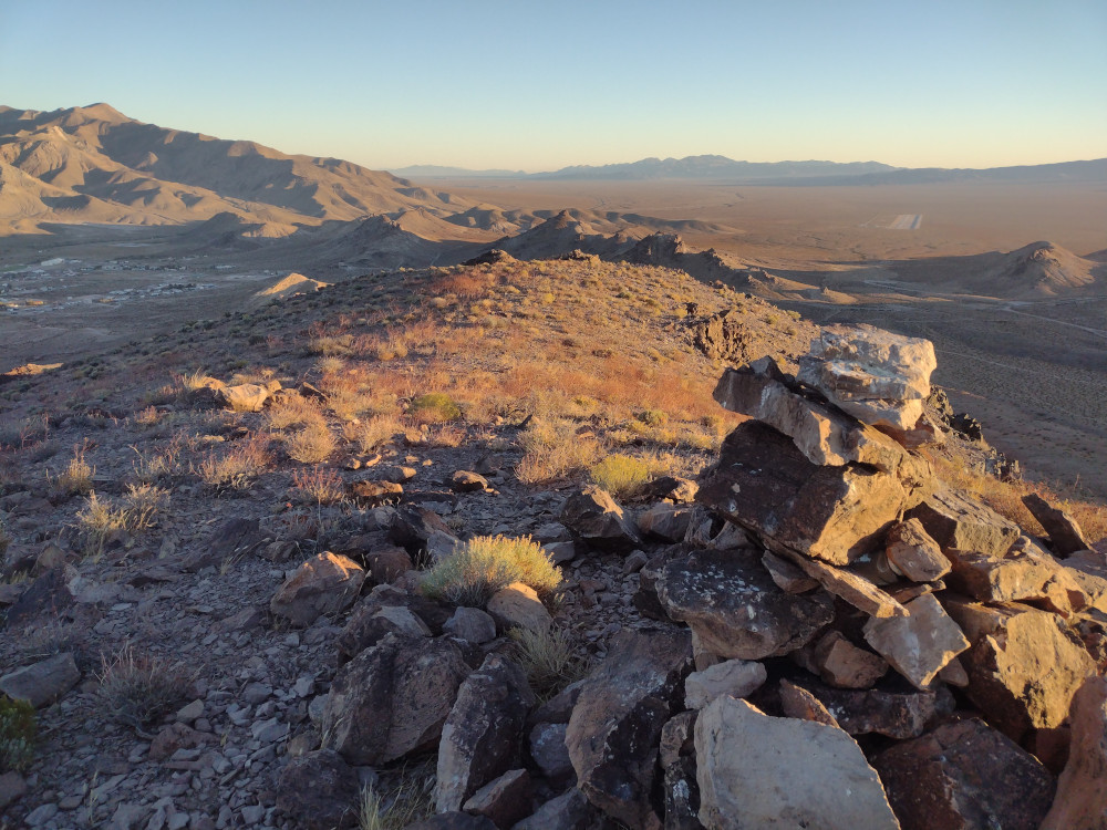
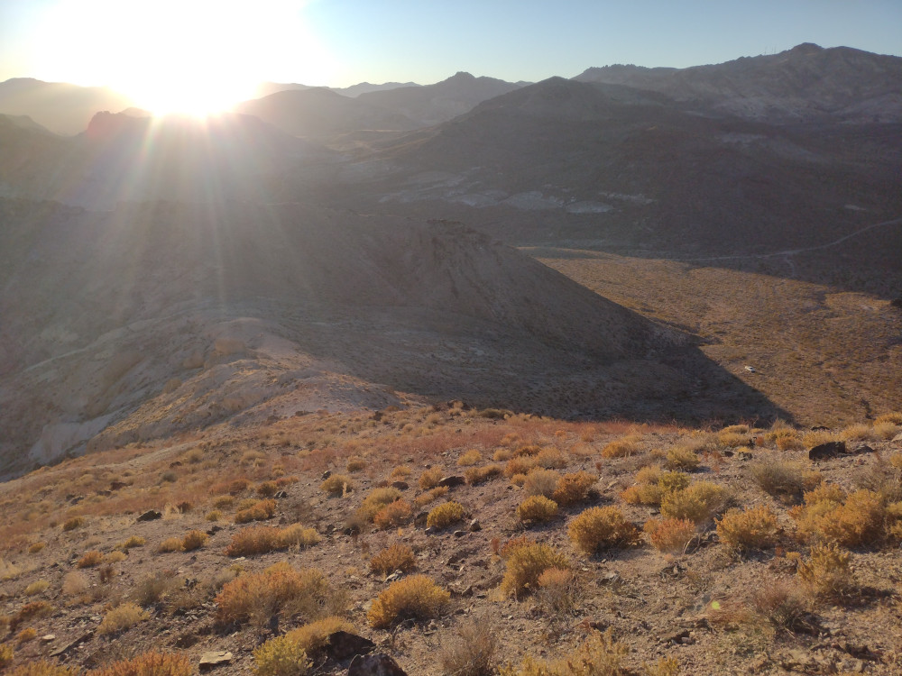
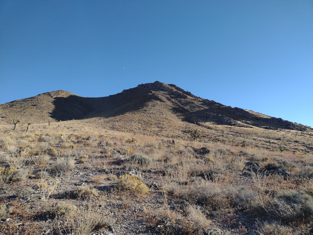
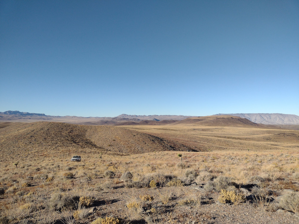
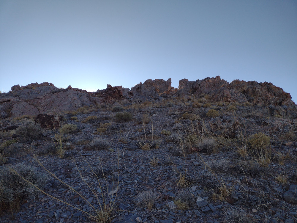
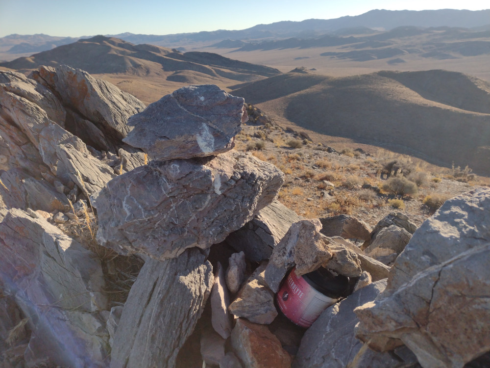
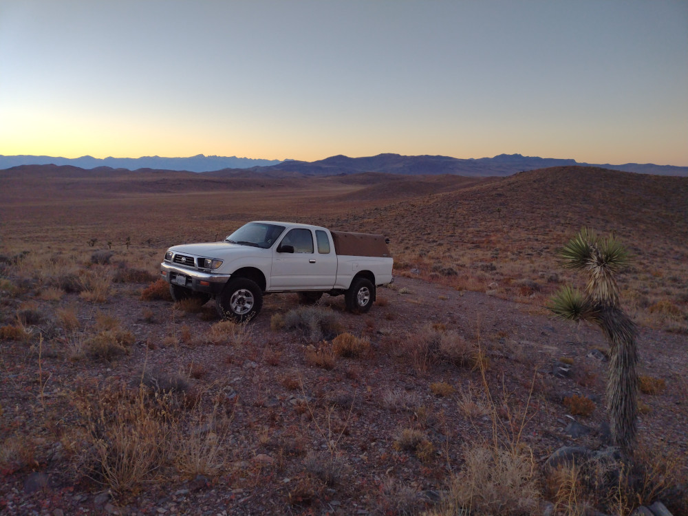
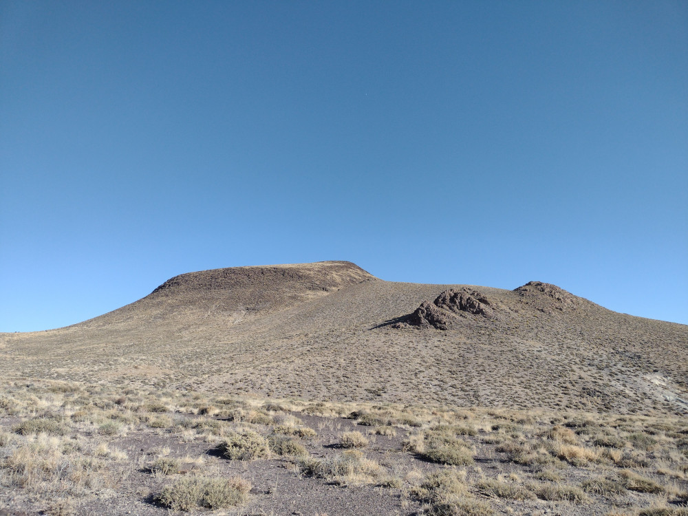
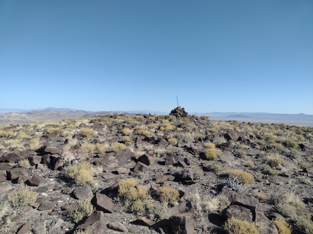
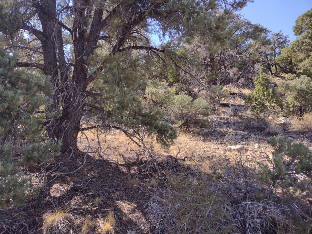
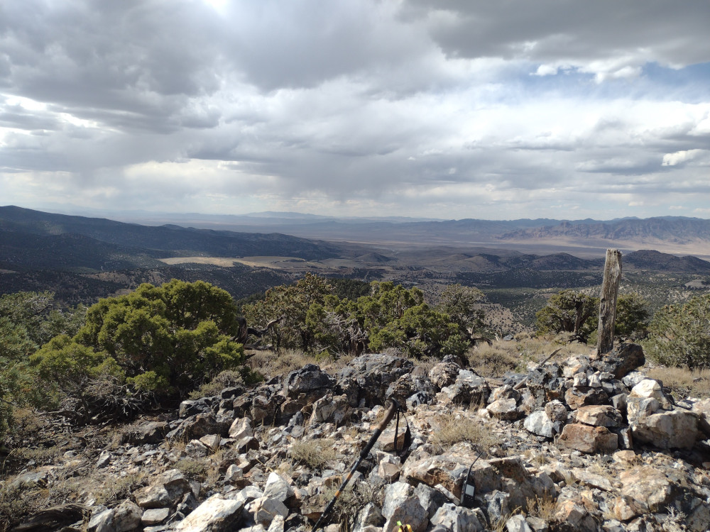
This was my 2nd summit for 2025 So.Cal Winter SOTA Fest. I wasn’t planning to climb this one, but it was close to me after a failed attempt at Fry Benchmark. I got as close to the summit as I could on a wide gravel road, then hiked a short distance up the steep hillside, where I was surprised to see a two track truck trail. I followed this all the way to the actual summit where strong wind had me hiding behind a rock pile. I used a KH1 with the whip on 20M, and 15M, and ended my quickly activation quickly after only 15 minutes or so at the top. The way down was more technical then the ascent, traveling through dry waterfalls and a short ravine. Over all, pretty fun, short hike. You could probably drive up there with a jeep or dual sport bike but hiking is pretty easy too.
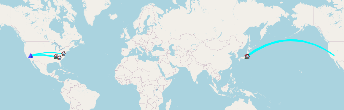
Summit 1-> https://blog.benmook.com/w6-sd-140-cougar-buttes/
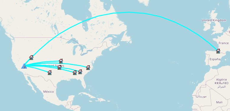
Summit 2-> https://blog.benmook.com/w6-sd-145-3938/
Summit 3-> https://blog.benmook.com/w6-sd-018-rodman-mountains-hp/
Summit 4-> https://blog.benmook.com/w6-sd-218-watkins-benchmark/
Summit 5-> https://blog.benmook.com/w6-sd-040-west-ord-mountain/
https://sotl.as/summits/W6/SD-145
Total climbing: 687 ft
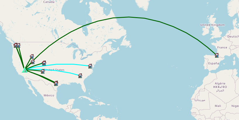
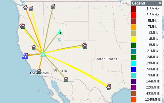
Date:17/01/2025 | Summit:W6/SD-145 (3938)
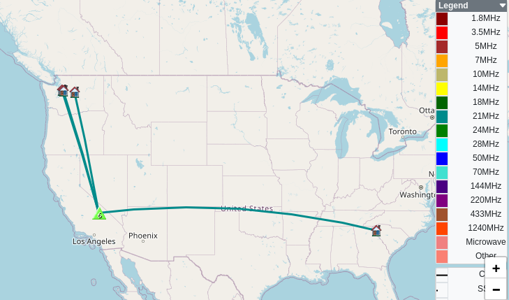
| Time | Callsign | Band | Mode | Notes |
|---|---|---|---|---|
| 22:19 | KN6FNY | 144MHz | FM | S59 R59 |
| 22:23 | WU7H | 21MHz | CW | S58N R53N |
| 22:24 | KN6EZE | 21MHz | CW | S58N R57N |
| 22:24 | WW7D | 21MHz | CW | S58N R52N |
| 22:25 | KF6HI | 21MHz | CW | S58N R55N |
| 22:25 | AK5SD | 21MHz | CW | S55N R42N |
| 22:31 | WB7BWZ | 14MHz | CW | S599 R55N |
| 22:33 | N7ET | 14MHz | CW | S599 R599 |