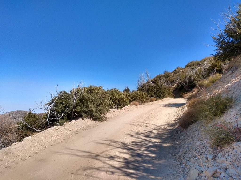
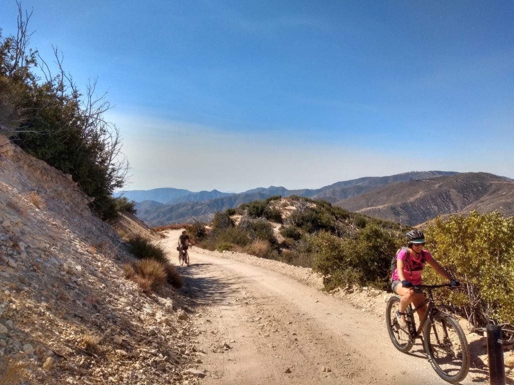
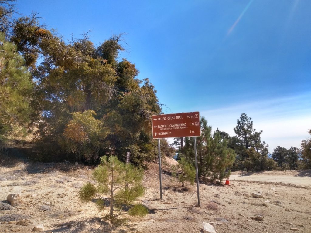
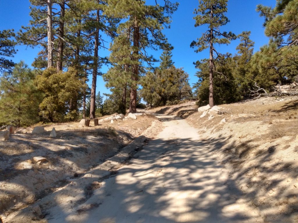
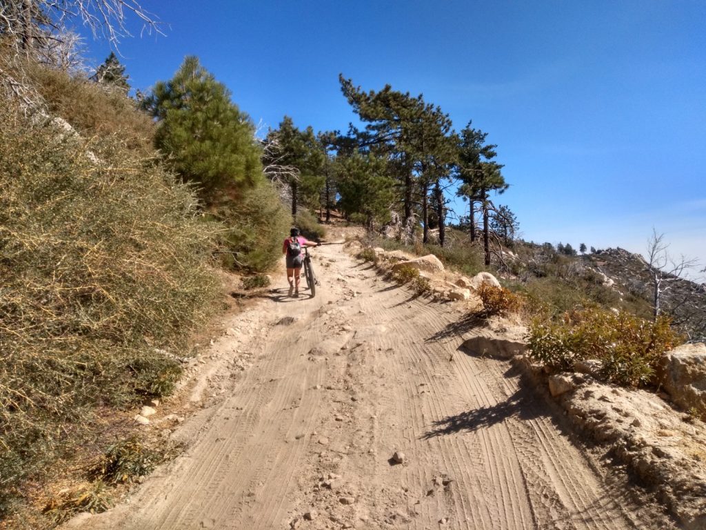
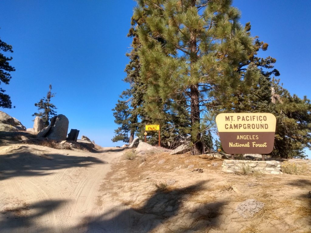
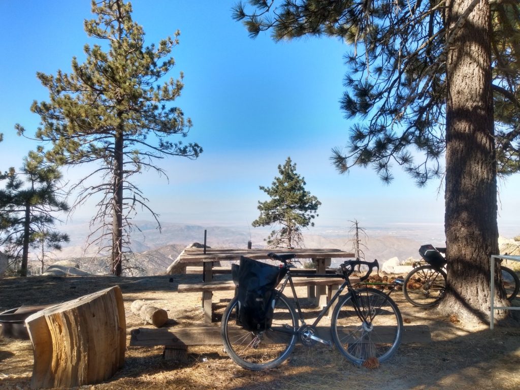
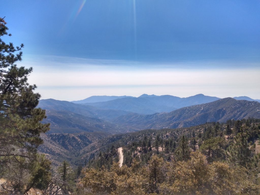
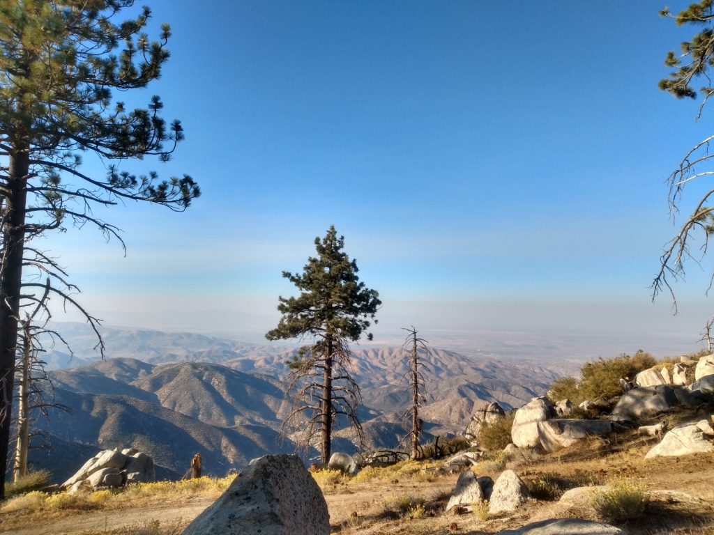
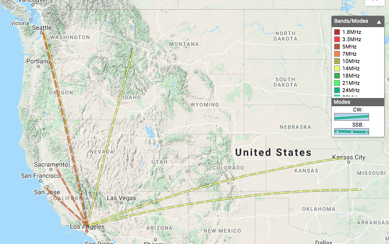
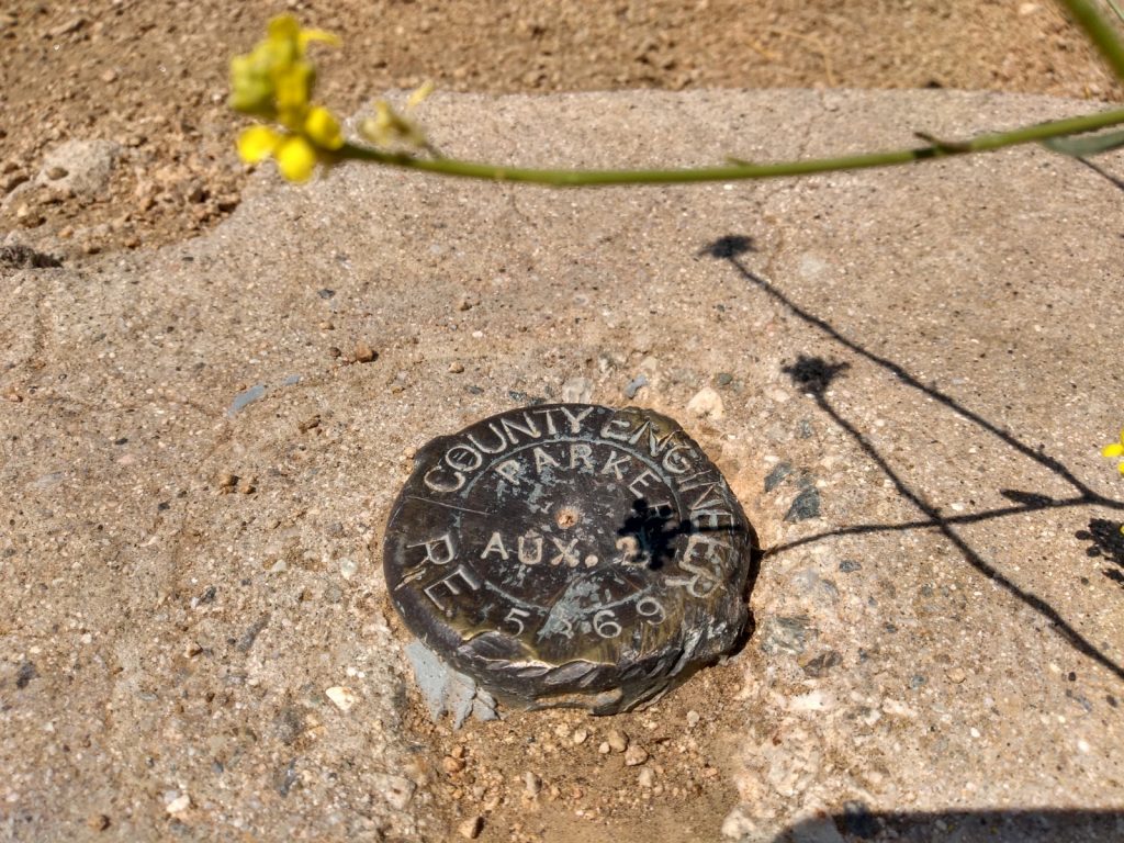
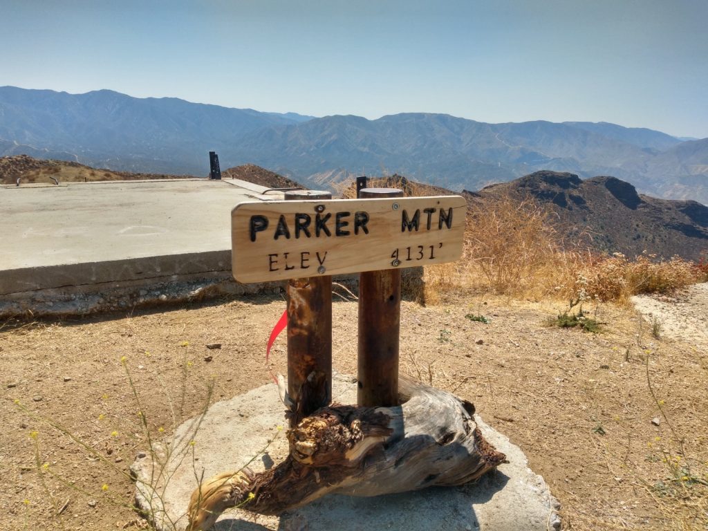
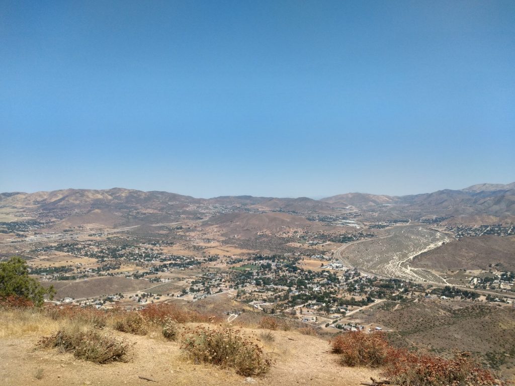
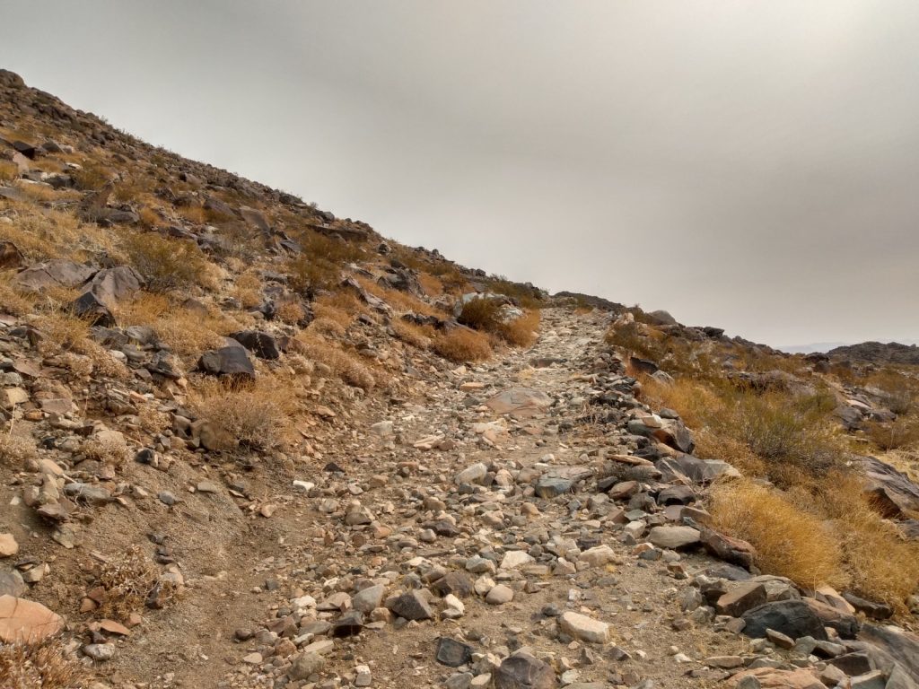
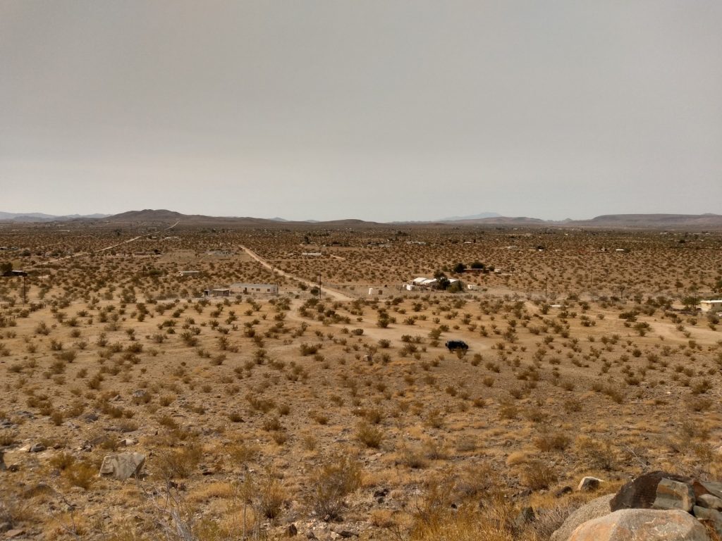
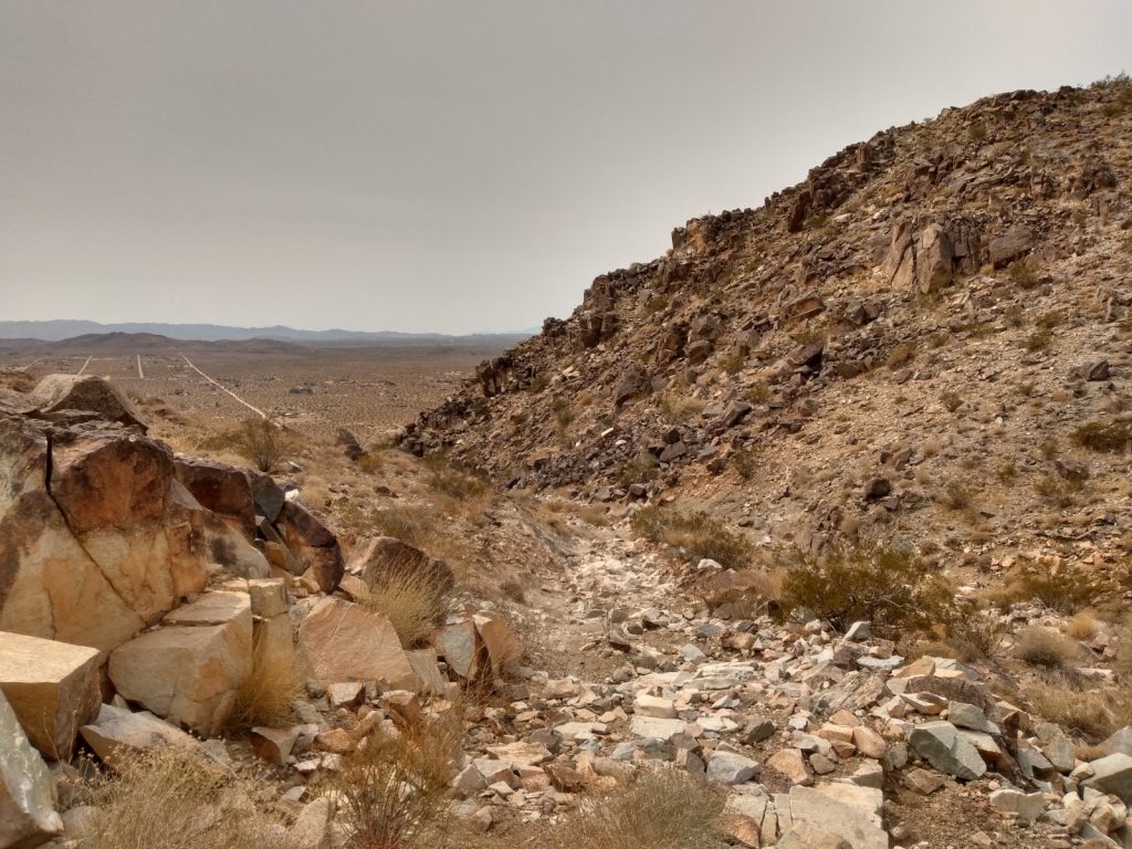
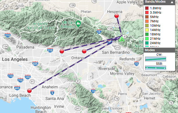
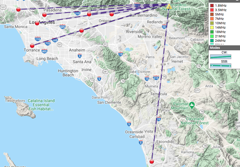
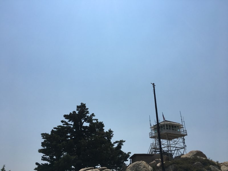
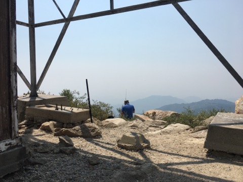
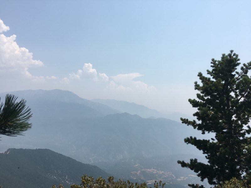
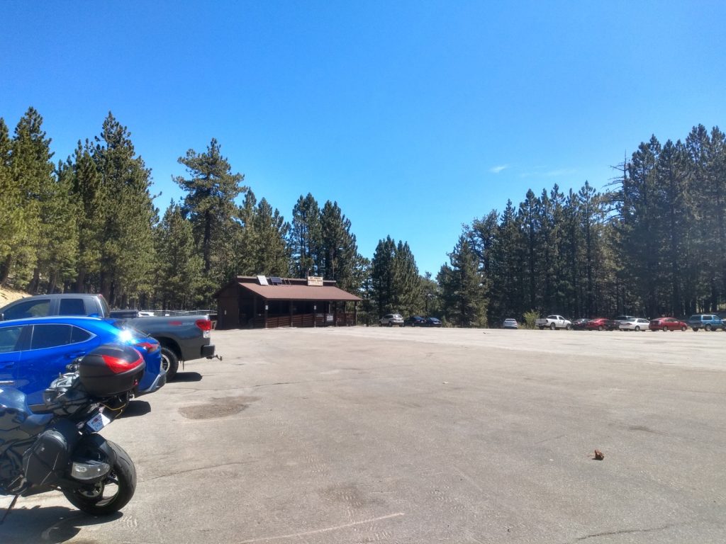
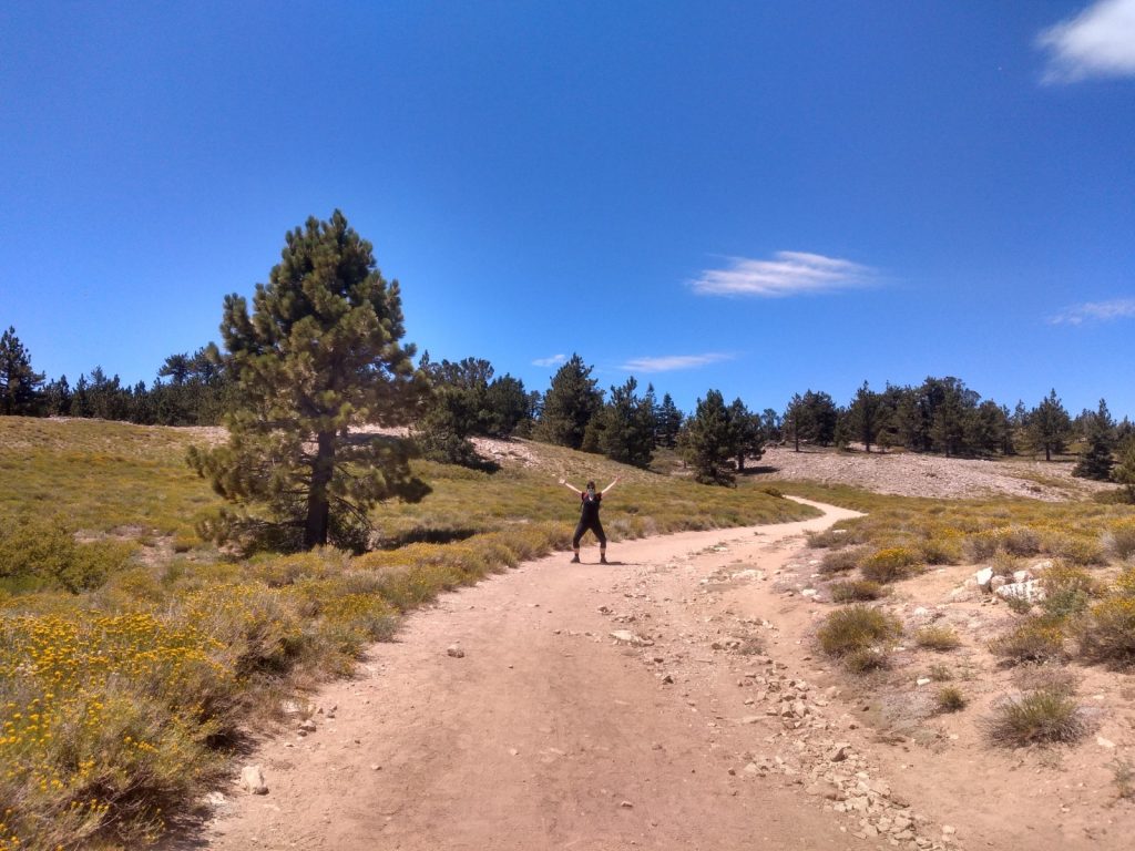
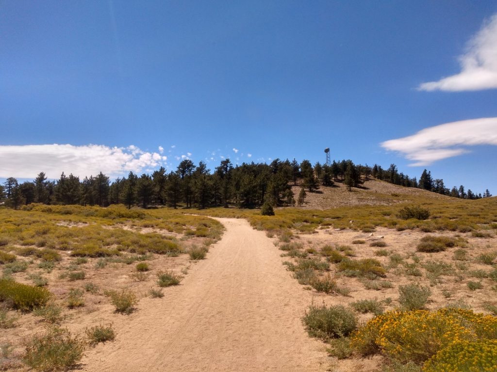
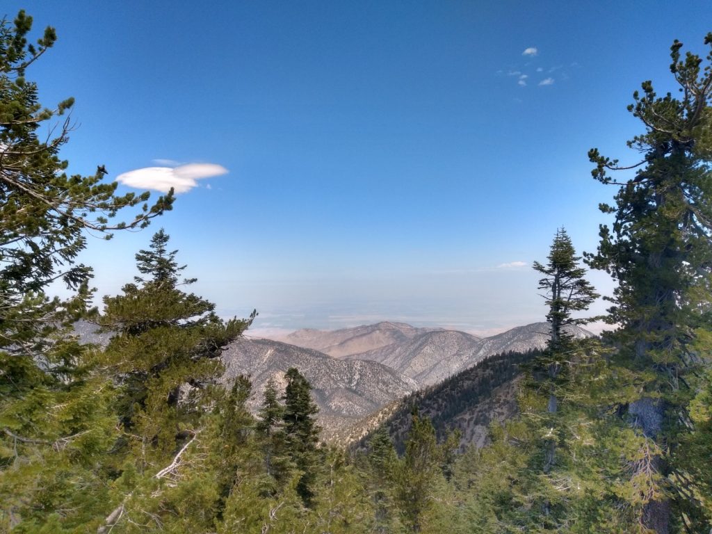
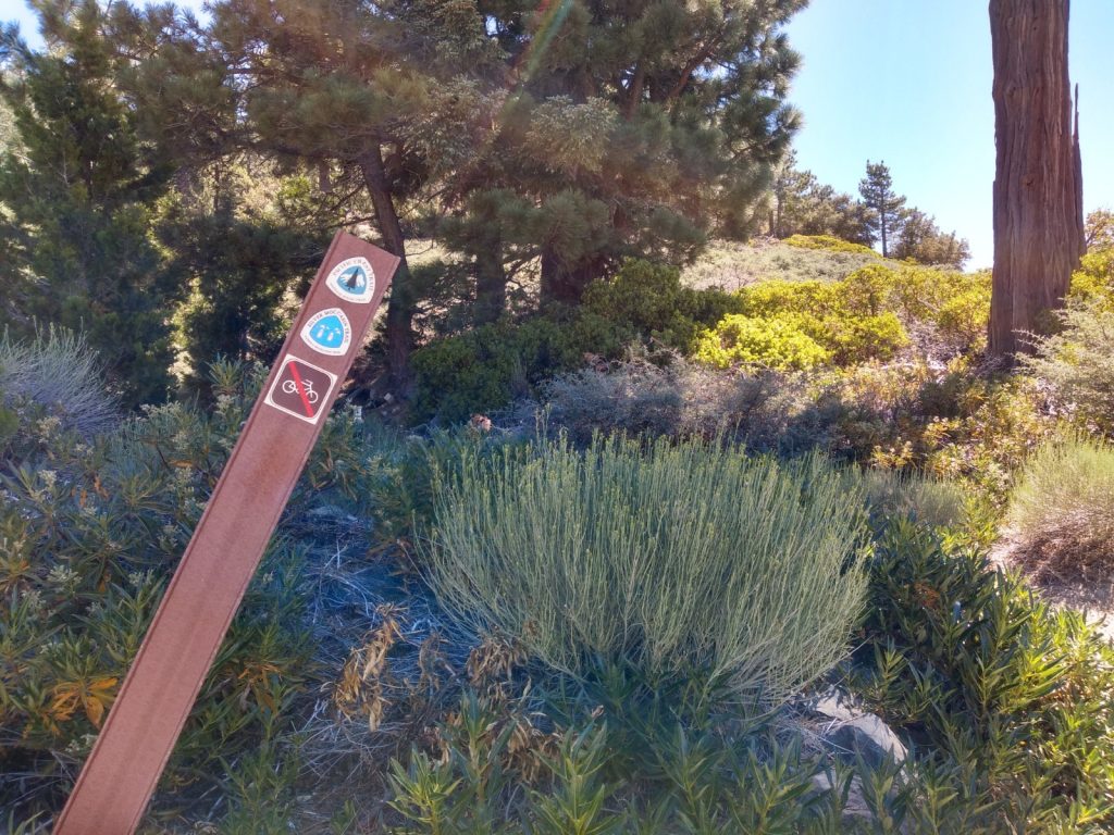
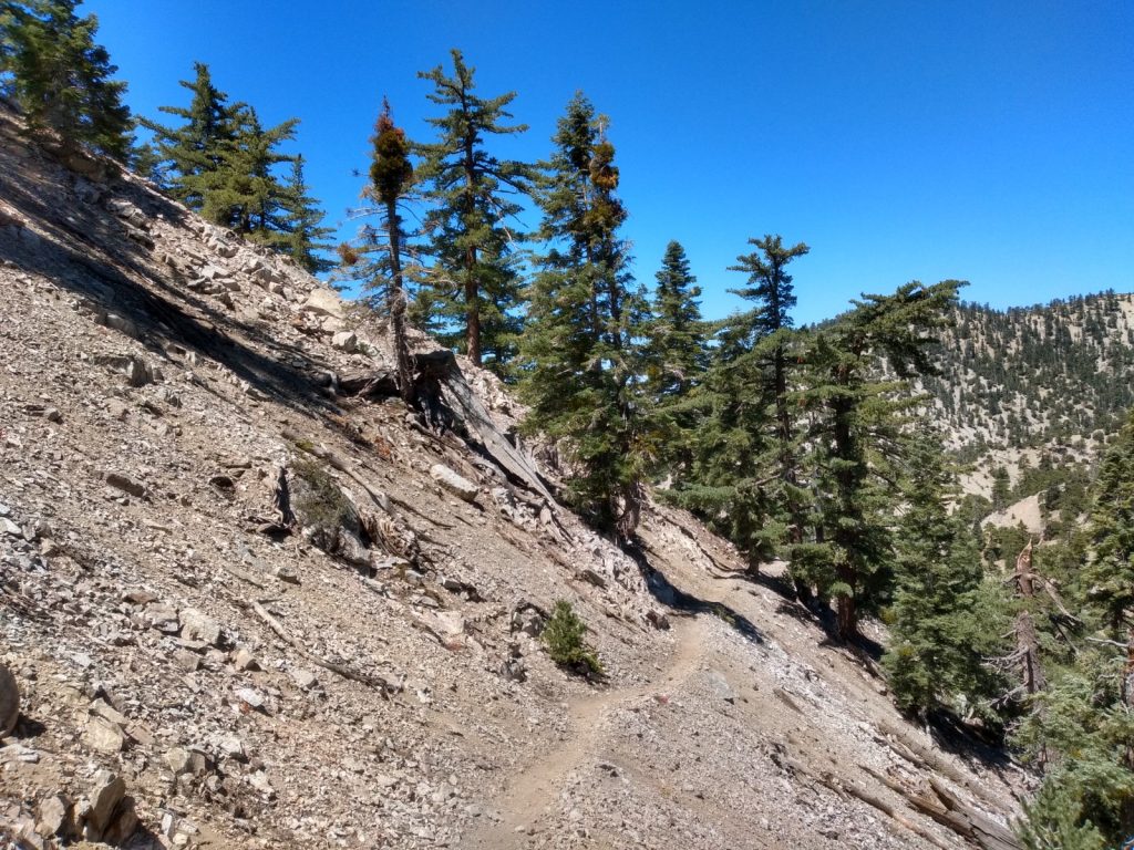
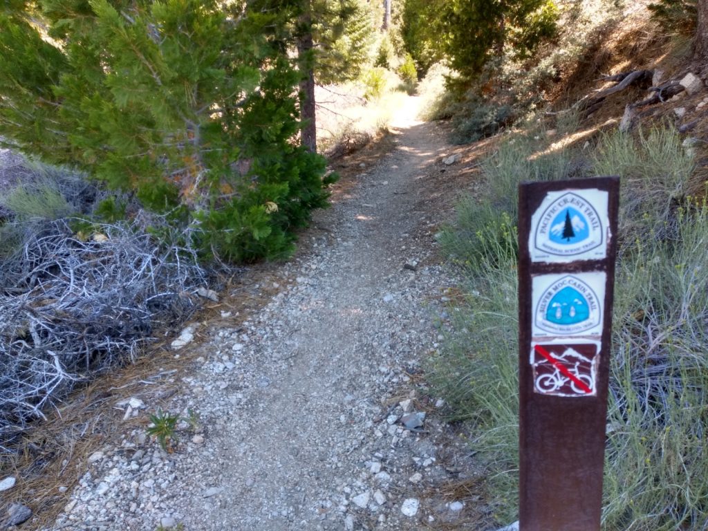
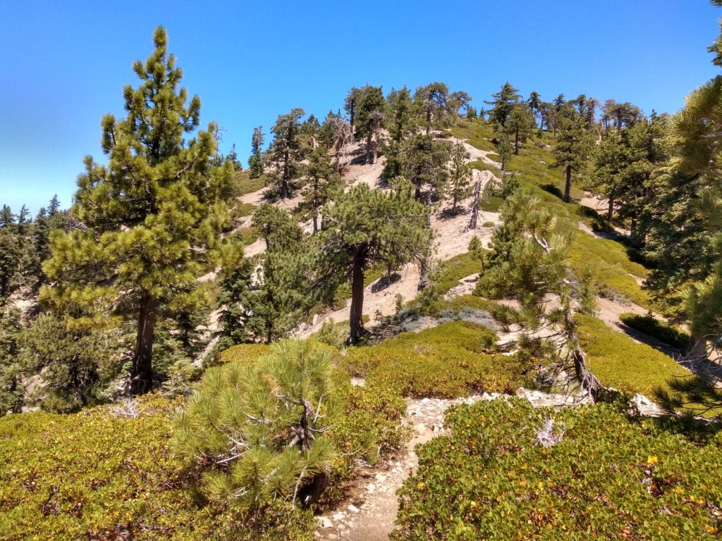
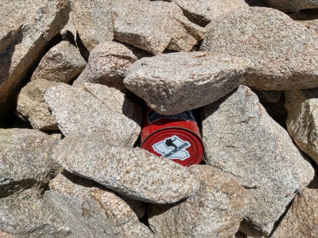
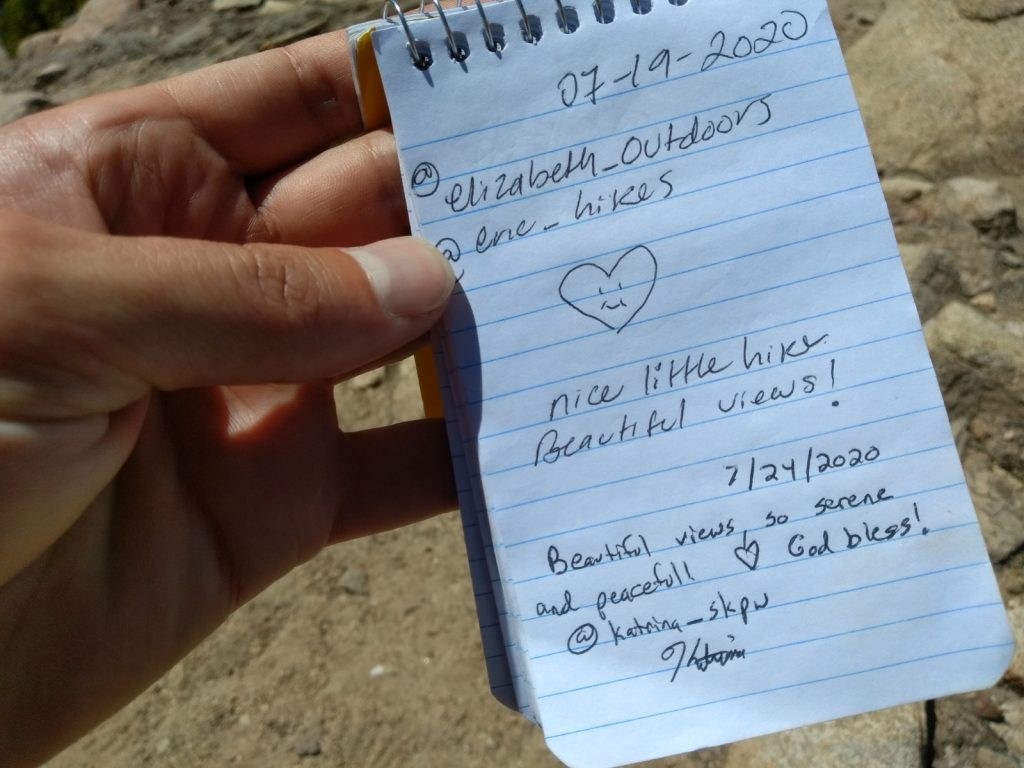
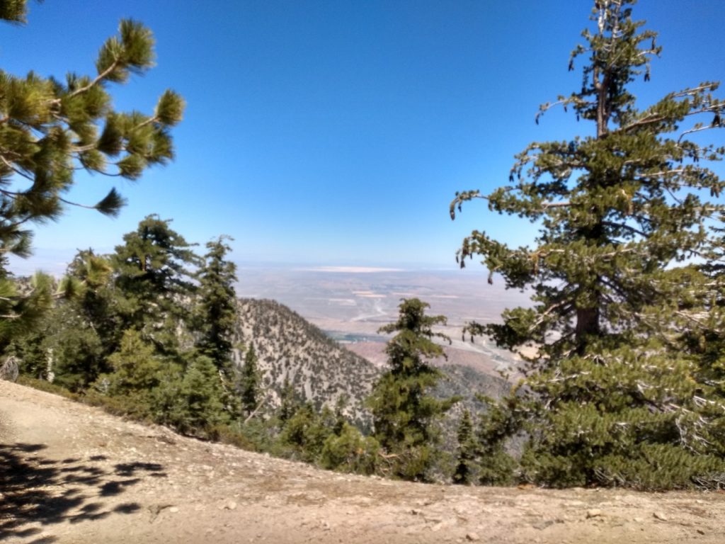
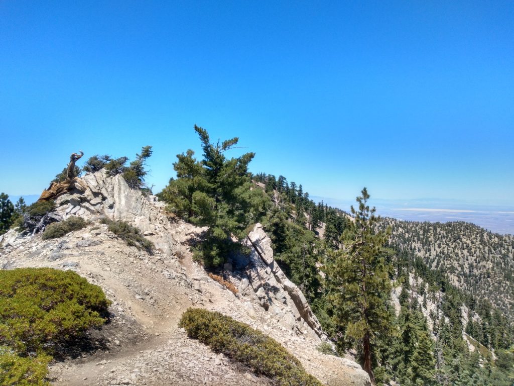
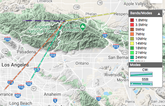
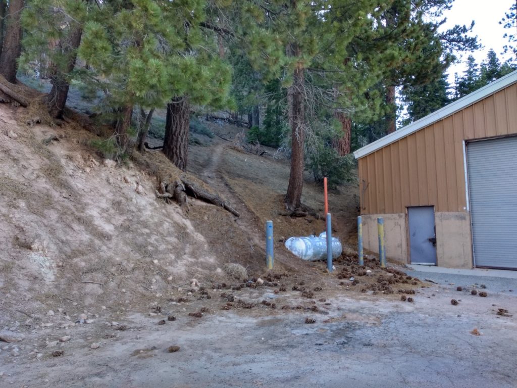
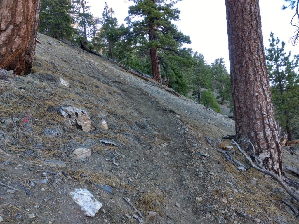
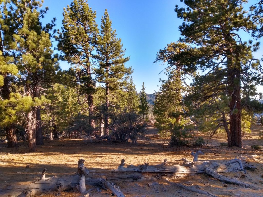
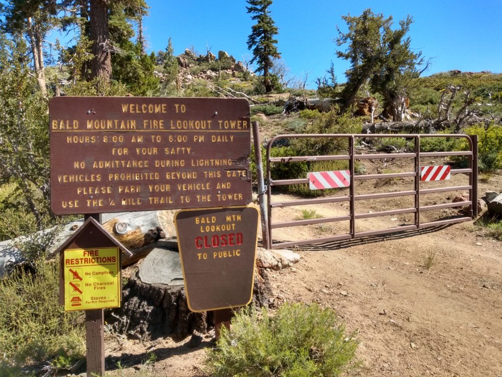
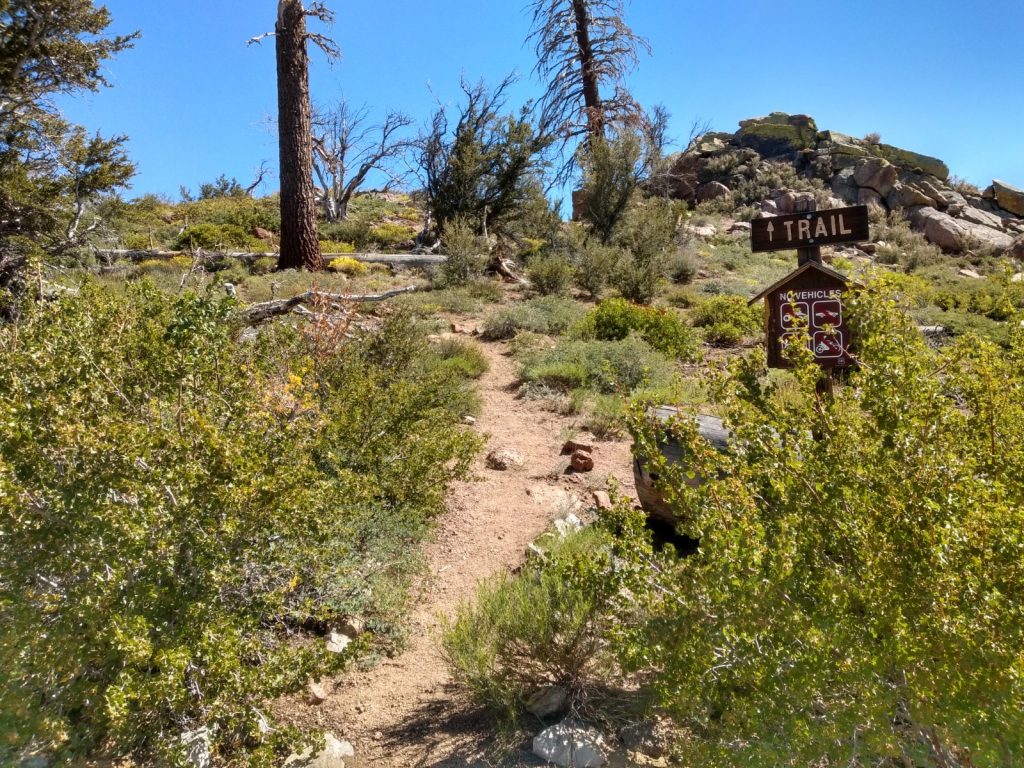
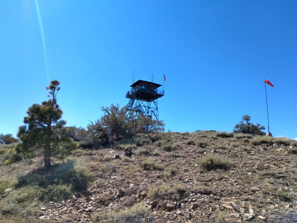
I’ve read that the road to Mt. Pacifico was closed to traffic, which made me want to cycle up to the top and enjoy the views with little interaction with others. This wasn’t the case. At the time of writing this, the road is open, all the way to the top, and the campground was occupied. Most traffic and the campers seemed to be hunting something, maybe birds? It’s not a very nice hike up the fire road, so if I’d known the road was open I probably would have ridden my DRZ dual sport motorcycle to the summit. (You can also hike the PCT to the summit, which I might do next time!) I made the trip with T. and E., my cycling pals. Of course, we got to the trailhead at the hottest time of the day. The fire road up doesn’t supply any shade, which made the ascent much harder in the blaring sun. After about 5 miles of climbing, you will see a sign directing you to the summit. This road offers some well needed shade, but not much. At the top, my standard HF station was setup at a picnic table. APRS packets were getting to an iGate for self spotting. In all, we spent two hours on the summit with contacts made on 10M, 20M, 40M and 2M. The thrilling ride down took a fraction of the time it took to get up. The downhill made cycling all the way up worth it!
https://sotl.as/summits/W6/CT-015
Total climbing: 2499 ft
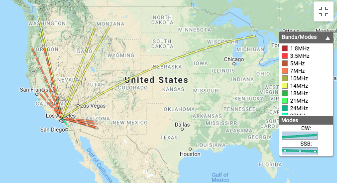
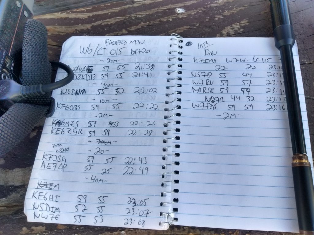
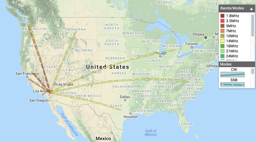
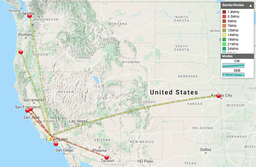
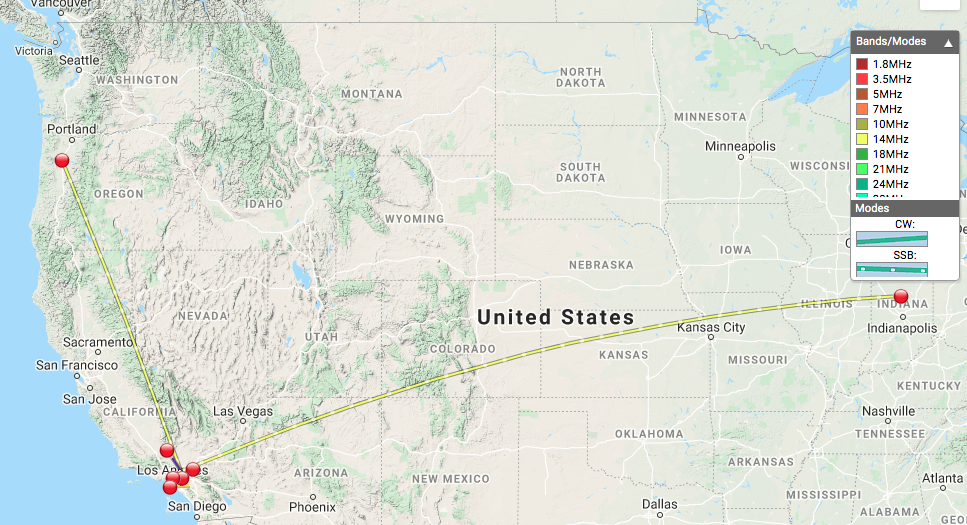
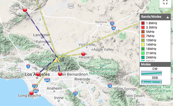
Date:17/10/2020 | Summit:W6/CT-015 (Pacifico Mountain)
| Time | Callsign | Band | Mode | Notes |
|---|---|---|---|---|
| 21:38 | N0WAE | 14MHz | SSB | 59 55 |
| 21:41 | WD8KDB | 14MHz | SSB | 59 55 |
| 22:02 | N6DNM | 7MHz | SSB | 55 52 |
| 22:22 | KF6QBS | 28MHz | SSB | 59 55 |
| 22:26 | KM6MZS | 144MHz | FM | |
| 22:28 | KE6ZGR | 144MHz | FM | |
| 22:43 | K7JSG | 14MHz | SSB | 59 55 POTA K3288 |
| 22:49 | AE7AP | 14MHz | SSB | 55 25 |
| 23:05 | KF6HI | 7MHz | SSB | 59 55 |
| 23:07 | N5DIM | 7MHz | SSB | 52 55 |
| 23:08 | NW7E | 7MHz | SSB | 55 53 |
| 23:10 | K7IMA | 7MHz | SSB | 22 22 S2S W7W-LC115 |
| 23:11 | NS7P | 7MHz | SSB | 55 44 |
| 23:11 | W7RV | 7MHz | SSB | 59 57 |
| 23:11 | N0RSR | 7MHz | SSB | 59 44 |
| 23:13 | NQ7R | 7MHz | SSB | 44 32 |
| 23:16 | W7FAS | 7MHz | SSB | 23:16 |
| 23:38 | KW6ACK | 144MHz | FM | |
| 23:40 | K6KWI | 144MHz | FM | |
| 23:41 | KI6RF | 144MHz | FM | |
| 23:43 | KM6CEM | 144MHz | FM |