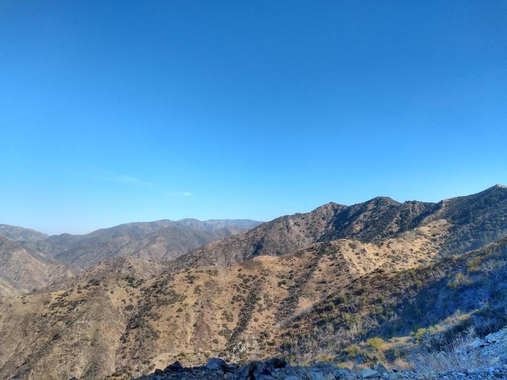
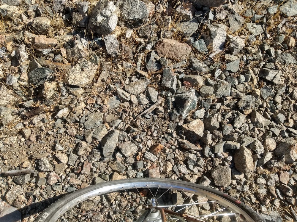
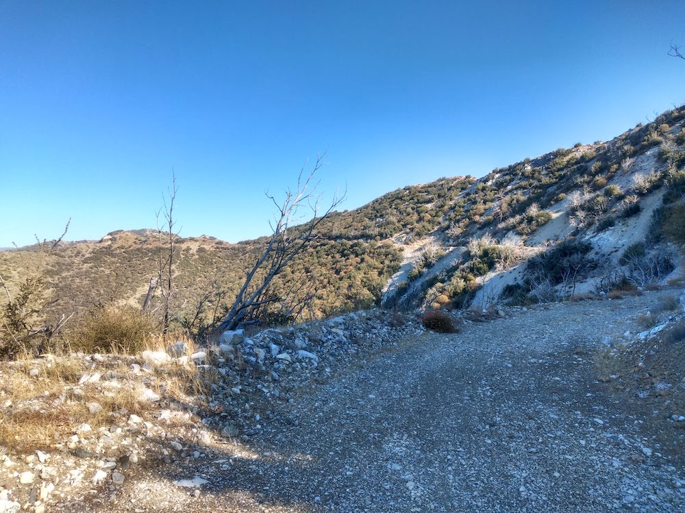
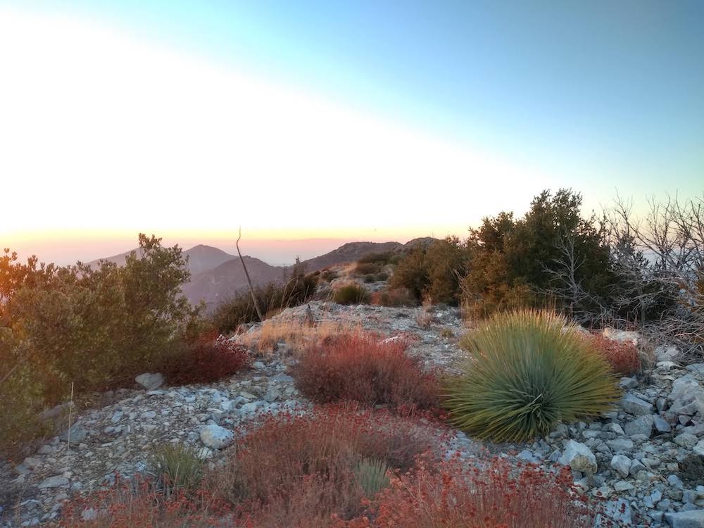
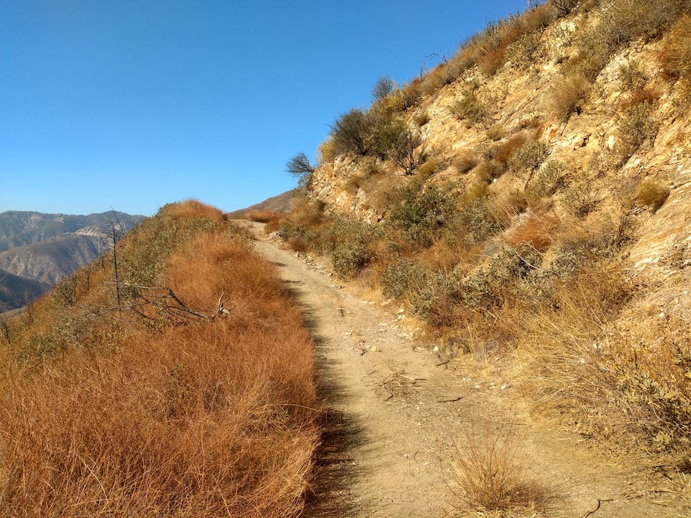
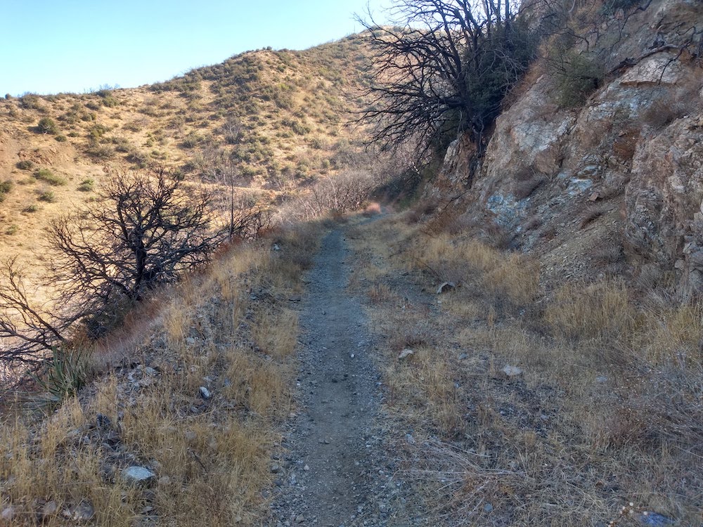
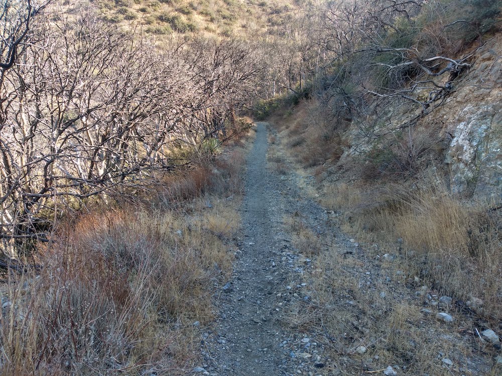
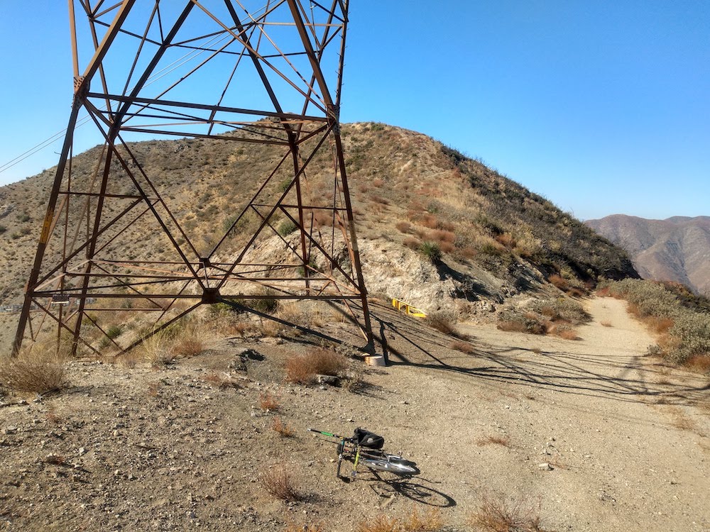
Iron Mountain is one of those summits in Southern California which hasn’t been activated too many times, and for a good reason. It’s a long hike, or in my case, a long, hard bicycle ride. I started at Dillon Divide full of energy ready to tackle the summit around 11am, but quickly found this bike ride to be laborious, not because of the distance or the uphill grade, but because the road was covered in rocks ranging in size from a softball, to large marbles. Trying to put any kind of effort into the rear wheel resulted in a tire without traction. In the worst spots on the trail, the front wheel was bobbing around left and right, looking for traction as well! Needless to say, I had to push the bike up most of the way.
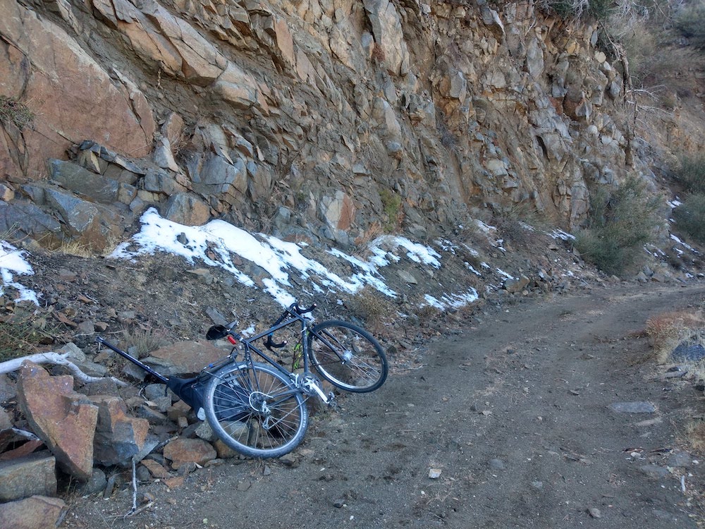
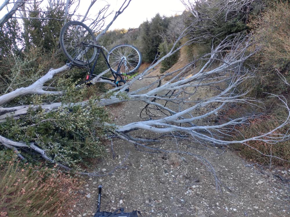
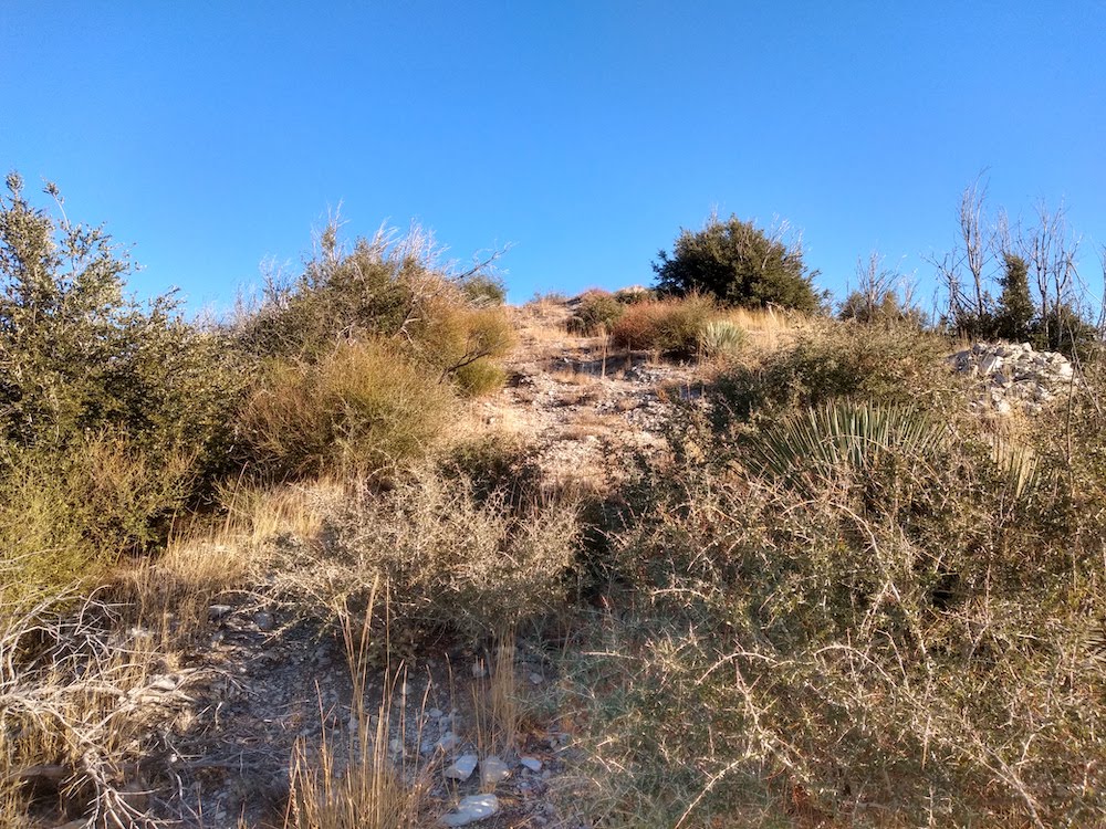
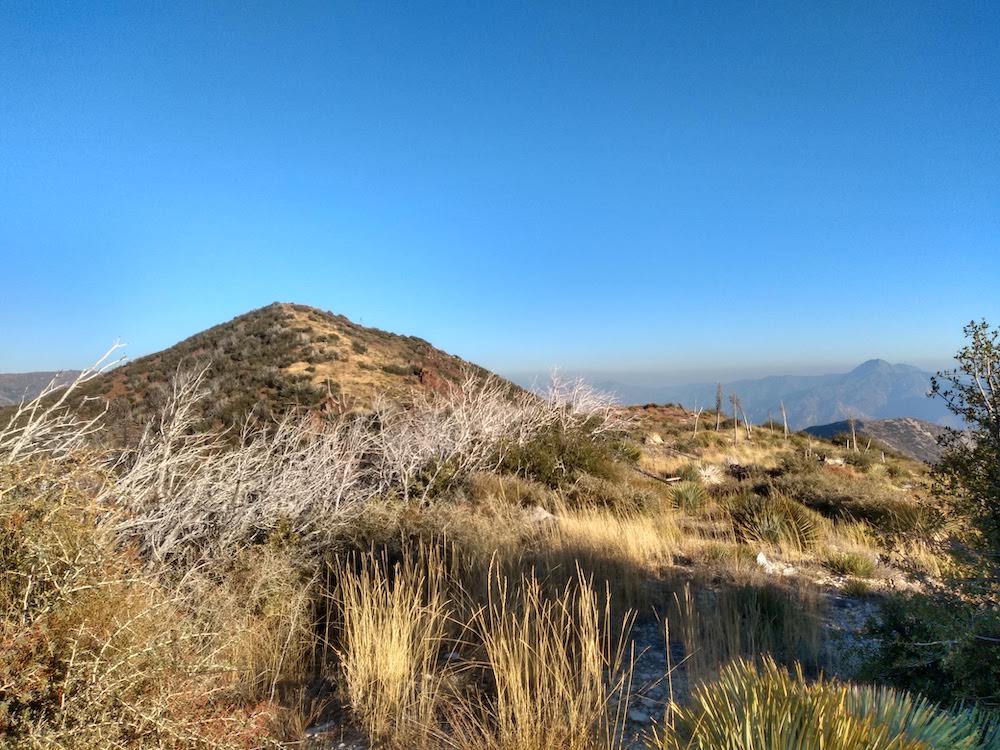
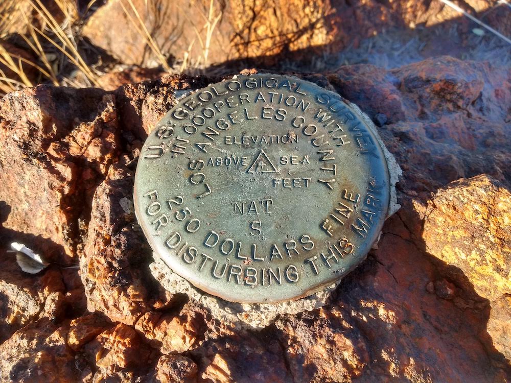
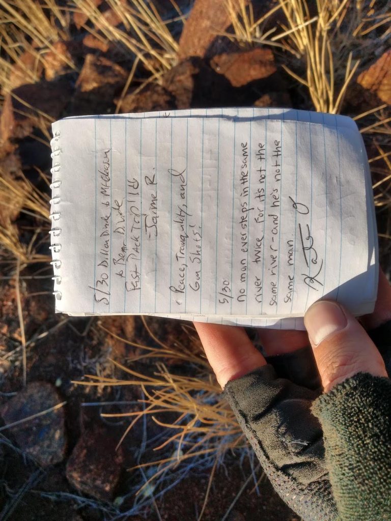
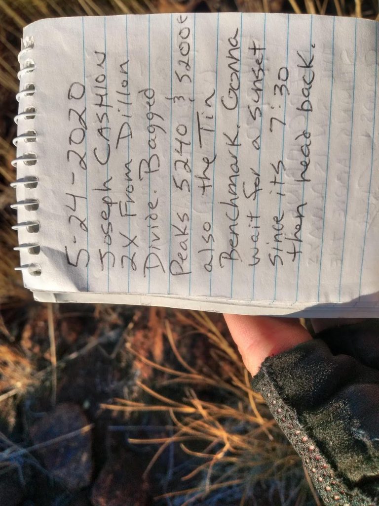
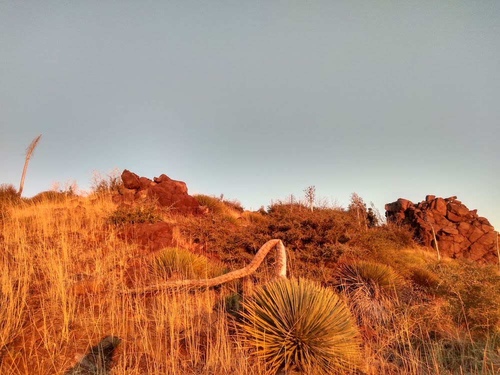
Fallen trees and rock slides along the way made this hike with a bike more difficult. After a few hours of climbing over fallen trees, through deep gravel – wanting to give up and turn around, I made it to the bottom of the summit. Of course, I didn’t do any research on how to actually get to the top so I spent some time looking at contour maps to find the least steep route. This turned out to be an old fire break, which was quite over grown and not really visible. At the top, the benchmark was easy to find. I signed the summit log, which was last signed in May.
Daylight was running out quickly, so I setup my station as fast as I could and made enough HF contacts to qualify the summit, switching over to VHF for additional contacts while breaking down the long wire antenna. As the sun started to dip below the horizon, I started the hike down to my bike, which I left near the road up. It was twilight, but the bike I was riding has a dynamo front wheel that generates light. Going downhill was somewhat easier than going up. You see, I’m riding a bike with somewhat skinny tires and brakes that don’t work well at all. This trip would have been better on a different bike! About a quarter of the way down, it was pitch black. Ten miles plus endless switchbacks and large rock dodging, in addition to severely cramped hands and not enough light required laser focused concentration, but I made it down safely, with all my gear – tired, beat up, cold and hungry. All in all, this was pretty tough and I can’t wait to do it again.
https://sotl.as/summits/W6/CT-024
Total climbing: 5037 ft
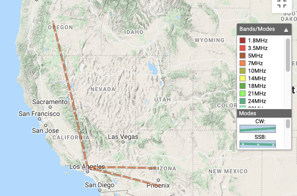
Date:14/11/2020 | Summit:W6/CT-024 (Iron Mountain)
| Time | Callsign | Band | Mode | Notes |
|---|---|---|---|---|
| 00:04 | KB7JJG | 7MHz | SSB | 59 52 |
| 00:05 | NW7E | 7MHz | SSB | 59 53 |
| 00:06 | N0RSR | 7MHz | SSB | 55 55 |
| 00:18 | NE6R | 14MHz | SSB | 59 59 |
| 00:25 | KN6LBJ | 144MHz | FM | |
| 00:26 | WB2WIK | 144MHz | FM | |
| 00:27 | KK6TLN | 144MHz | FM | |
| 00:28 | W1SAV | 144MHz | FM | |
| 00:28 | KI6PMD | 144MHz | FM | |
| 00:31 | KK6TDU | 433MHz | FM |
UPDATE! May 31st, 2021
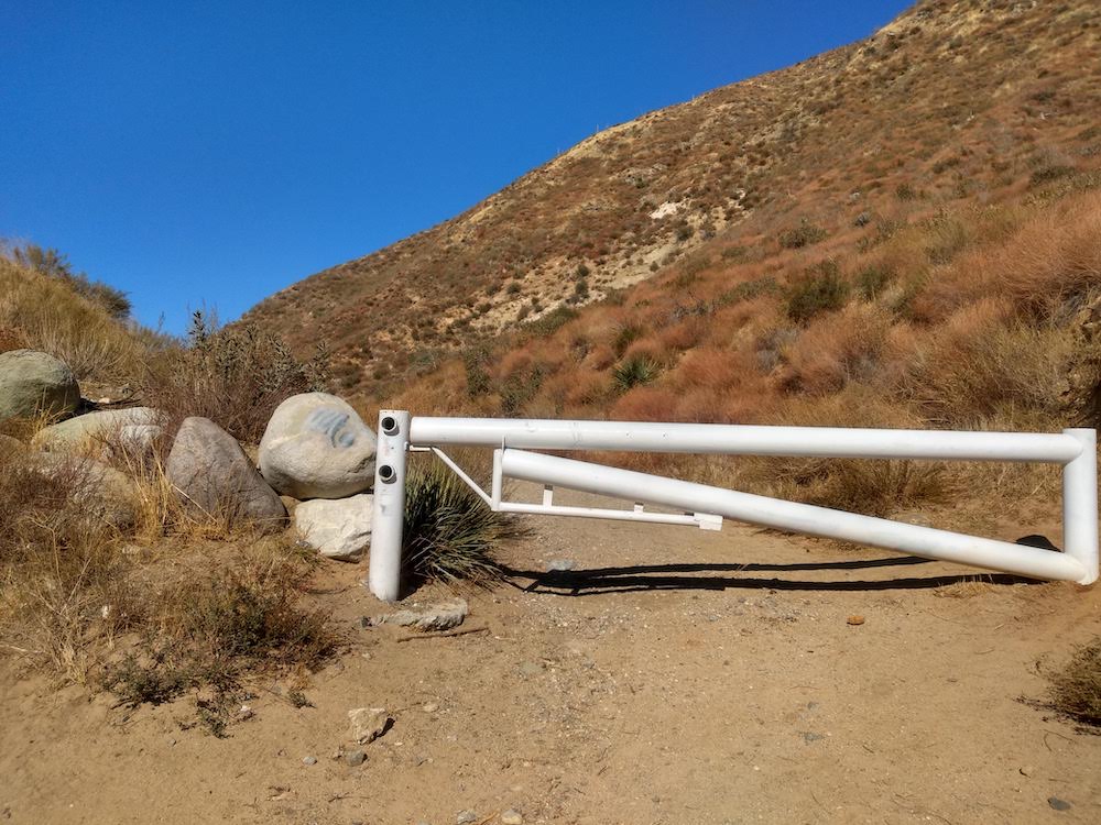
Forest road 3N17 is open, so I decided to activate Iron Mountain again, but from from the other direction; Mount Gleason area. I drove my SOTA mobile about as far as I was comfortable, ending up just to the side of Lightning Point campground. You could drive another mile or so down the narrow dirt road until you reach a locked gate. From here, you hike down to the summit! I think this is a first for me. The trail is mostly exposed, so bring extra water.
Total climbing: 2251 ft

