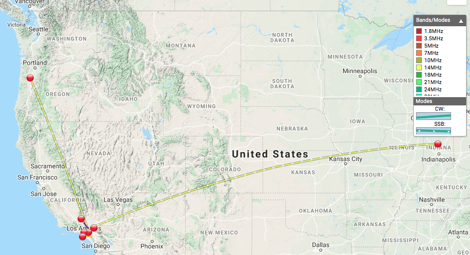
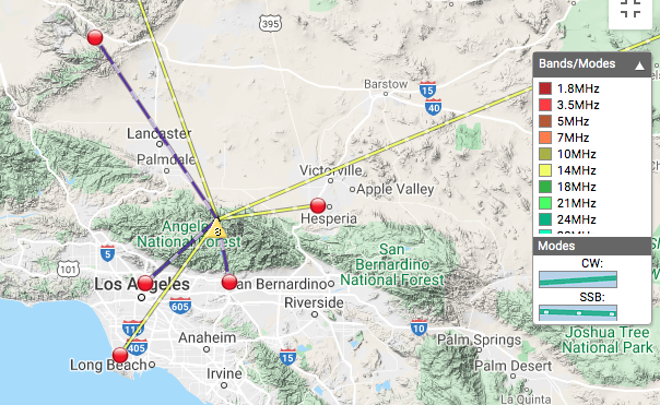
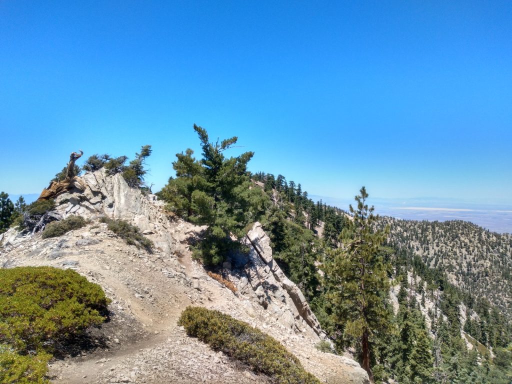
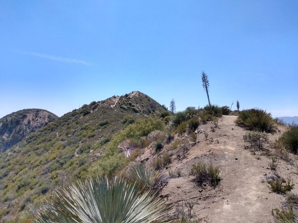
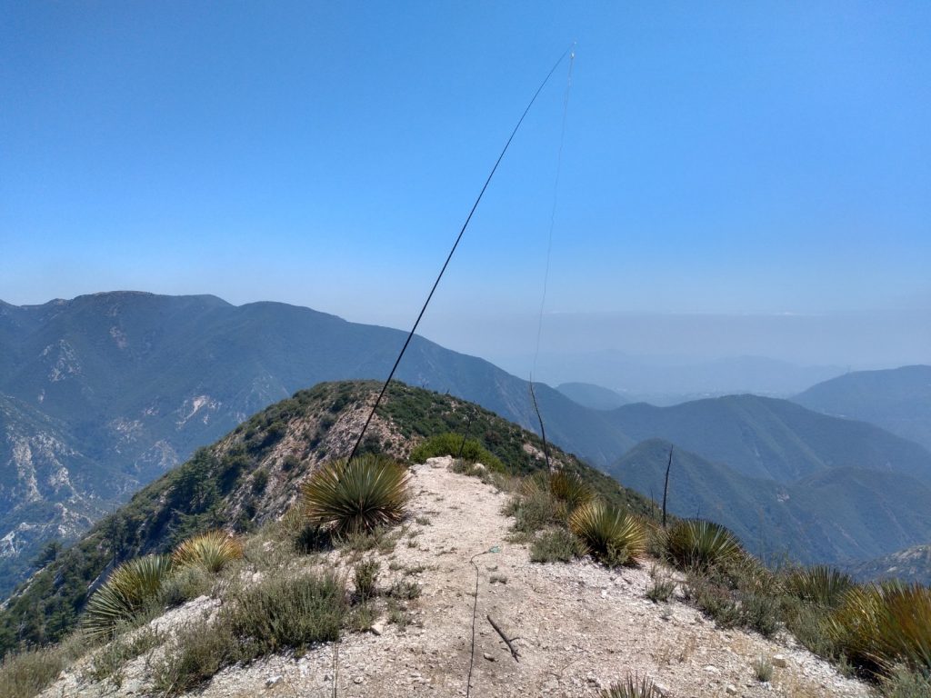
This is a fun 8 point SOTA hike, which is around 5 miles round trip. Note: If you’re looking at a map, the actual summit is past Mount Williamson; keep going and follow Pleasant View Ridge to a peak named 8248. If you keep going even further, you will run into Pallet Mountain, the site of a C-119 aircraft crash.
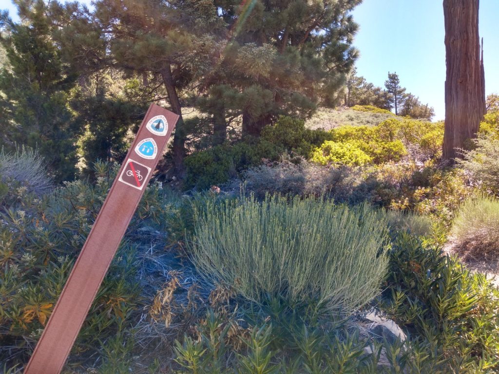
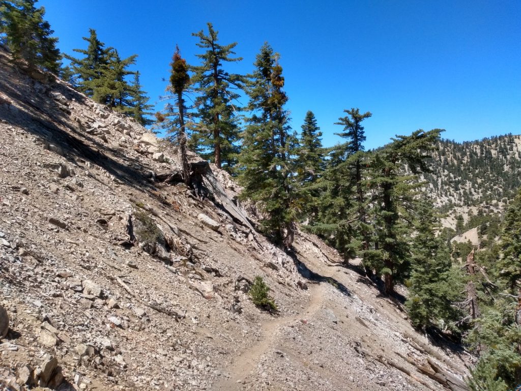
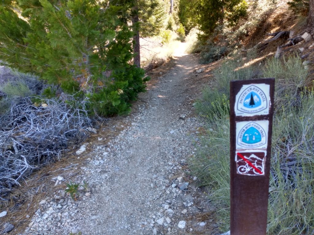
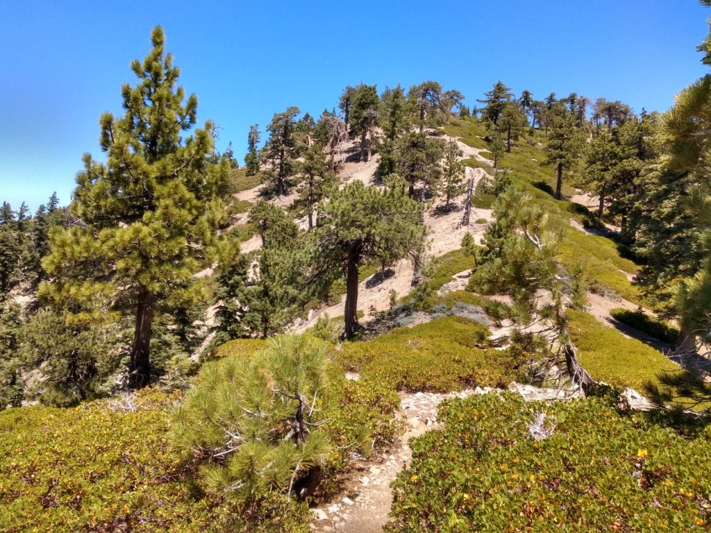
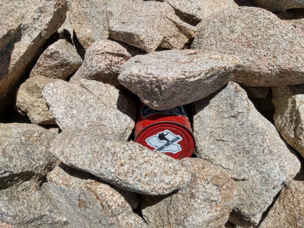
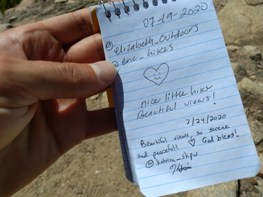
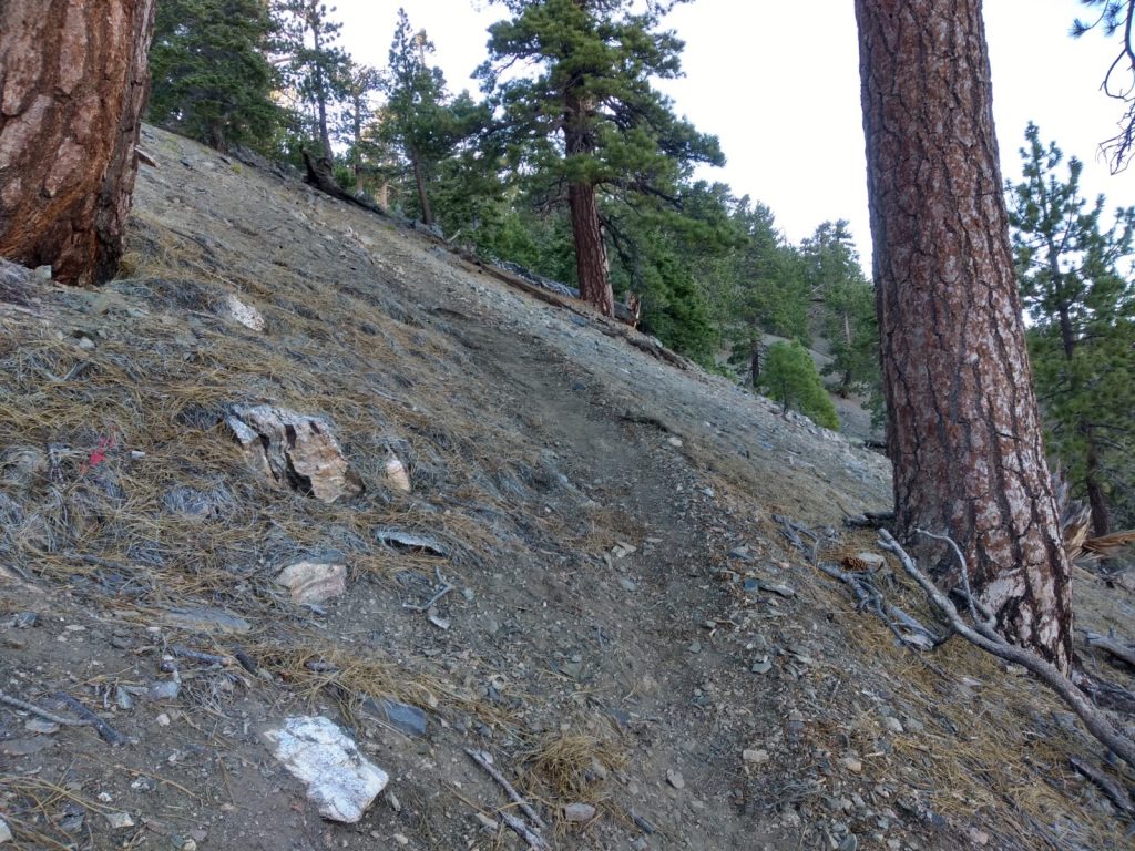
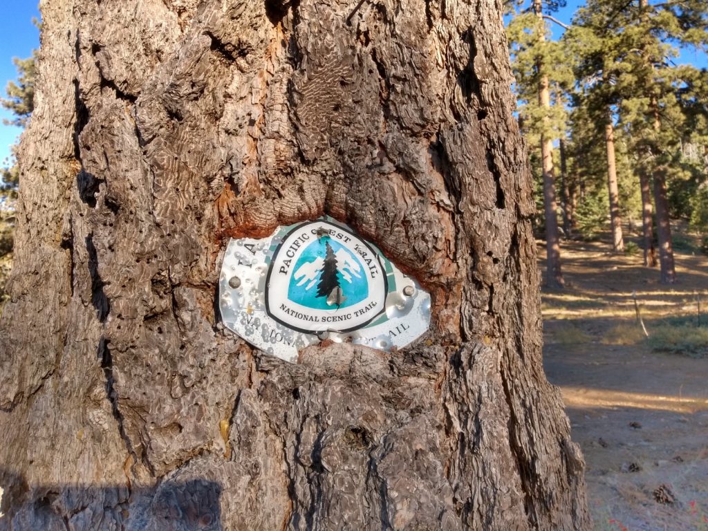
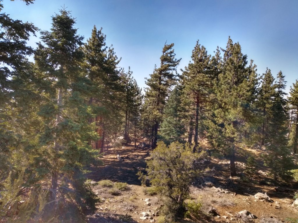
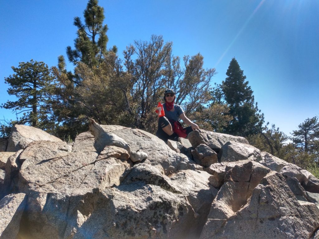
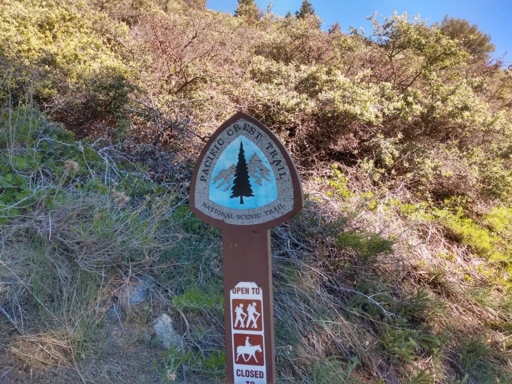
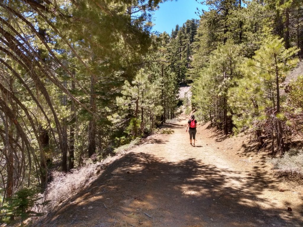
The start of the trail, just off Hwy 2The PCTThis PCT marker is at the point where you turn to hike the ridge.Looking up at the ridgeSummit log on Mt. Williamson.. This isn’t the SOTA summit, keep going!View at the topIt gets somewhat technical at this point, but evens out eventually.
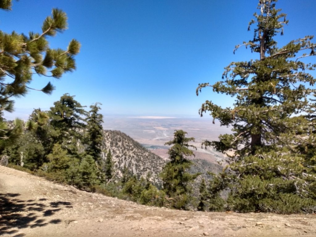
Mt. Lewis is a short, steep hike with easy access just off highway 2, which can easily be combined with any of the surrounding summits, such as Throop, Mt. Baden-Powell, exc for a 16 point day. At the summit, you get nice views of the Antelope Valley and plenty of shade.
The peak is named after the first Superintendent of Yosemite National Park who worked in the San Gabriels in the early 1900’s. Mt. Lewis made it on the original 1946 Sierra Club Hundred Peaks List.
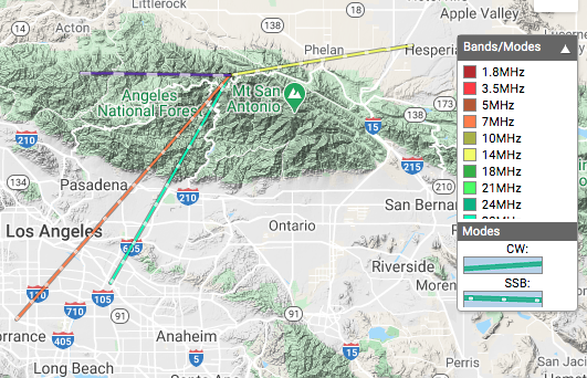
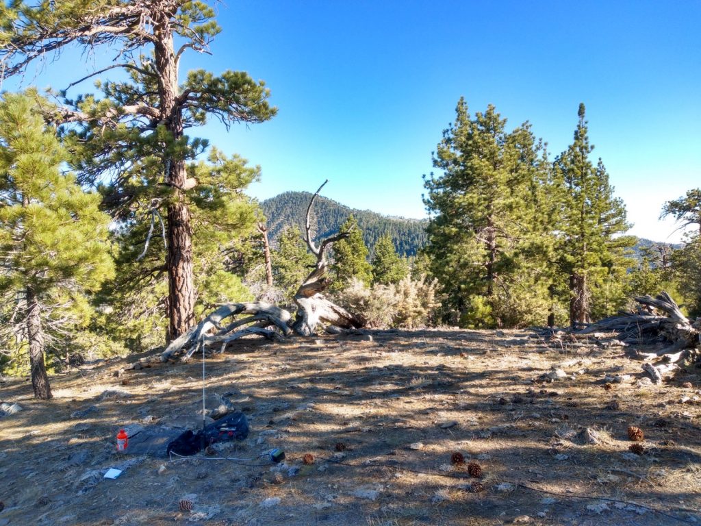
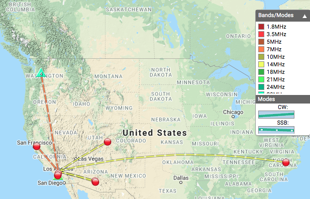
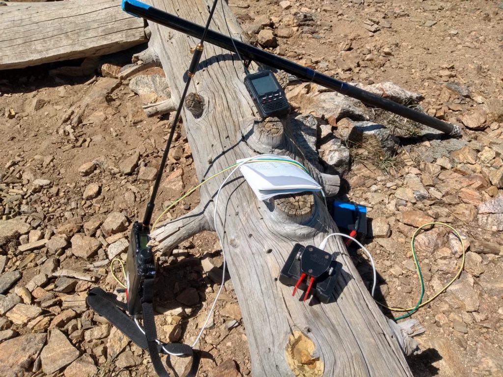
This was my first activation in the Southern Sierras; quite a bit of a drive from my QTH, but it made a fun day with my wife. The station was setup off the side of the summit on a picnic table. I only made two contacts on 2M (one S2S) and two on 20M. 40M was simply not working. Either my station was in a terrible position, or propagation simply wasn’t working in my favor.
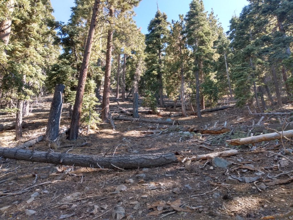
8 point summit near Fawnskin (Big Bear Lake). Do not follow my tracks on this one, as I completely missed the trail! We started out on a section of the PCT, scrambled up to the summit, then followed an old road down, which didn’t really put us in a position to get back to the car easily. I didn’t make a ton of contacts, but overall, a fun hike.
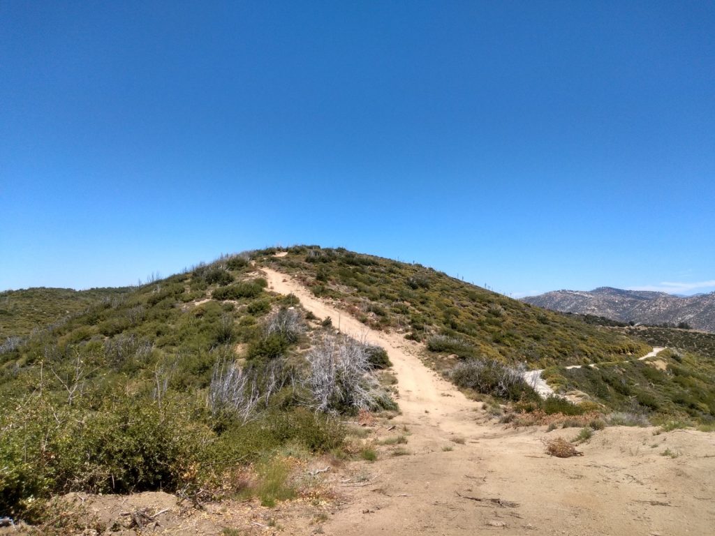
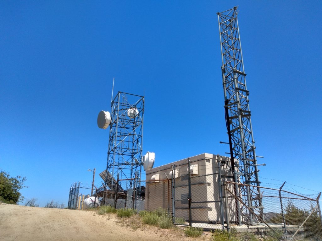
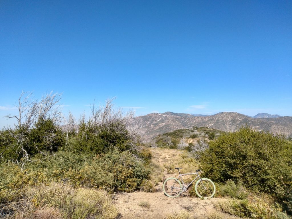
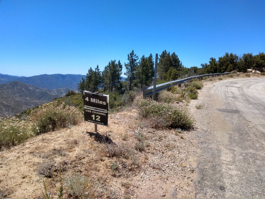
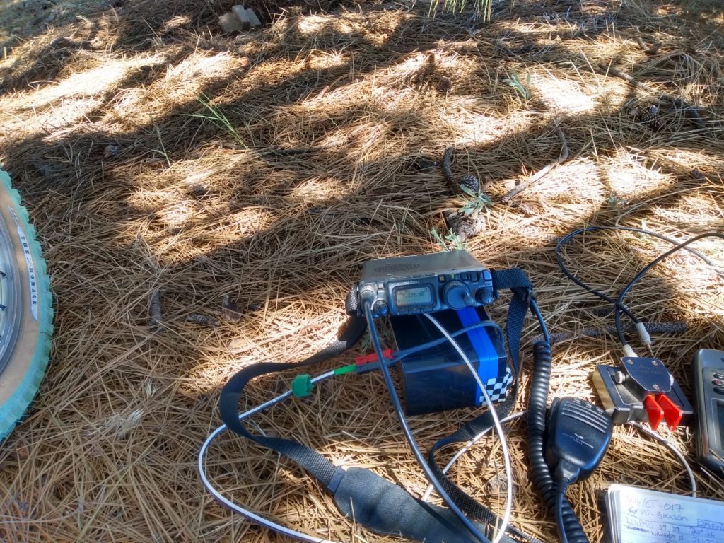
I activated this peak in mid July after a bicycle activation up to (regular?) Mt. Gleason. I enjoyed the ride so much I came back for Little Mt. Gleason the following week. The ride up for the first few miles is tough, about a 11% grade according to my GPS. After that it calms down a bit, but it’s still up hill. To find Little Mt. Gleason, look for a microwave tower off in the distance while traveling up the road. That’s it. Eventually, there will be a dirt road on the right hand side that takes you to the summit. There is little to no shade on the road up, and there is zero shade once you get to the summit. I don’t know if I will do this one again in the middle of July, as the temps were quite high. As for the activation, I brought my Yaesu 817, my standard 20/40M vertical and one of those cheesy MFJ 1810T antennas for 10M, which brought me more contacts that 20+40 combined. Longest QSO was out to Colorado Springs, on 10M. The ride down was fast and enjoyable, and I look forward to activating this peak again in the winter months.
(Update 05-09-2022 – a server migration, plugin and php update revealed the timestamps on this .gpx file are broken. I’ve added fake times so this page renders correctly)
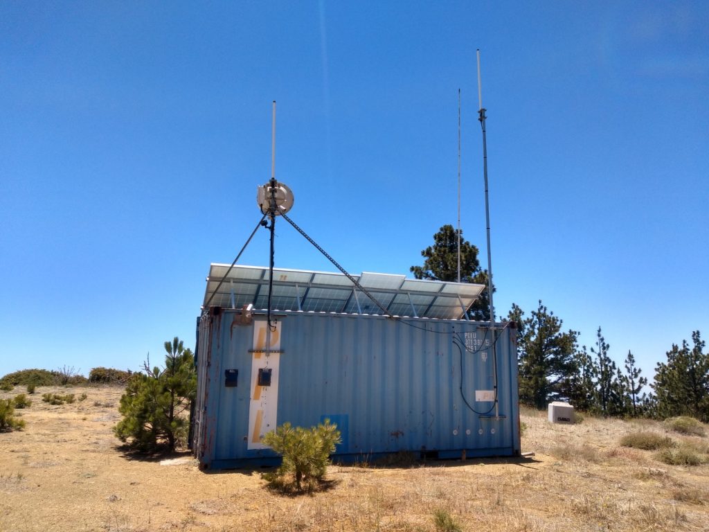
The fire road up after the first mile or twoFalse summit!Microwave site. The shelter and tower to the right seems to be unused.The Marin. I think this was an old road that the forest service closed down. It’s on the map, but blocked off with large wood pilings.
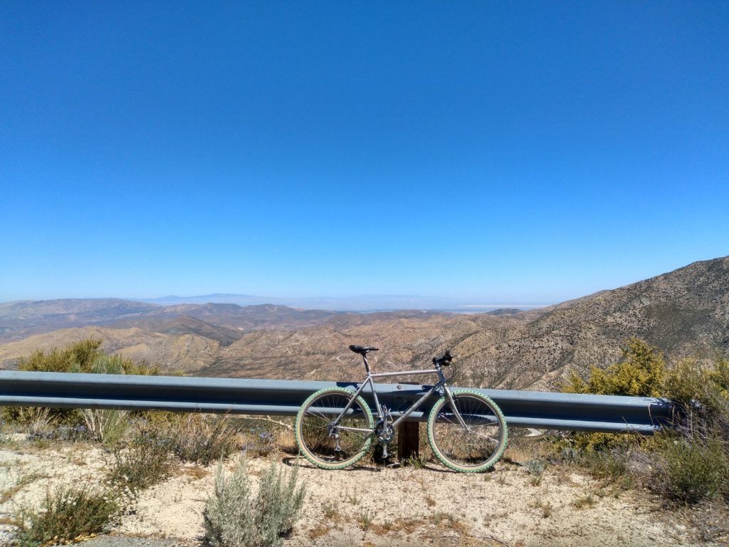
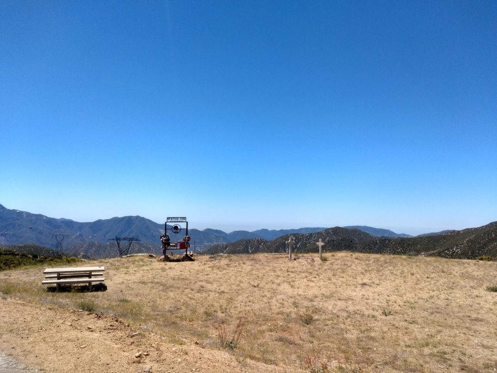
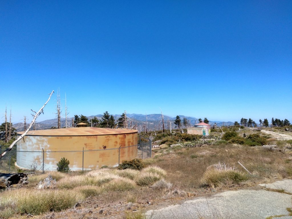
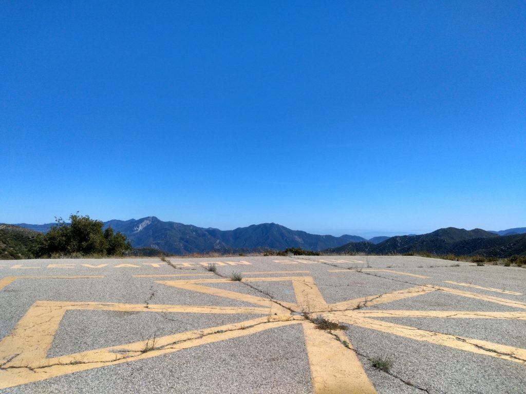
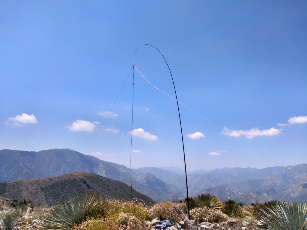
I originally planned on riding my bike up to W6/CT-087, which is on the way to Mt. Gleason, but I was feeling good so I pushed through to the further summit. The road up is paved, as there was a Nike missile site up top, which became a Forest Service fire outpost, which, tragically burned down in the 2009 Station Fire. Since it is almost 10 miles to the top, cycling made quick work of what would be above my pedestrian threshold. Once at the top, I setup the station under a grove of pine trees in the shade. I made a few contacts on 2M as the HF antenna got setup. I self spotted on 20M, and made a few contacts. Moving over to 40M and self spotting again, I quickly found it was noisy. I could clearly hear chasers calling me, but there was no getting out on my end. I made a few contacts regardless, including, a S2S. I moved over to 2M CW to practice my code. Made one contact, then another station called, which was a busted QSO because my brain still freezes when receiving.
(Update 05-09-2022 – a server migration, plugin and php update revealed the timestamps on this .gpx file are broken. I’ve added fake times so this page renders correctly)
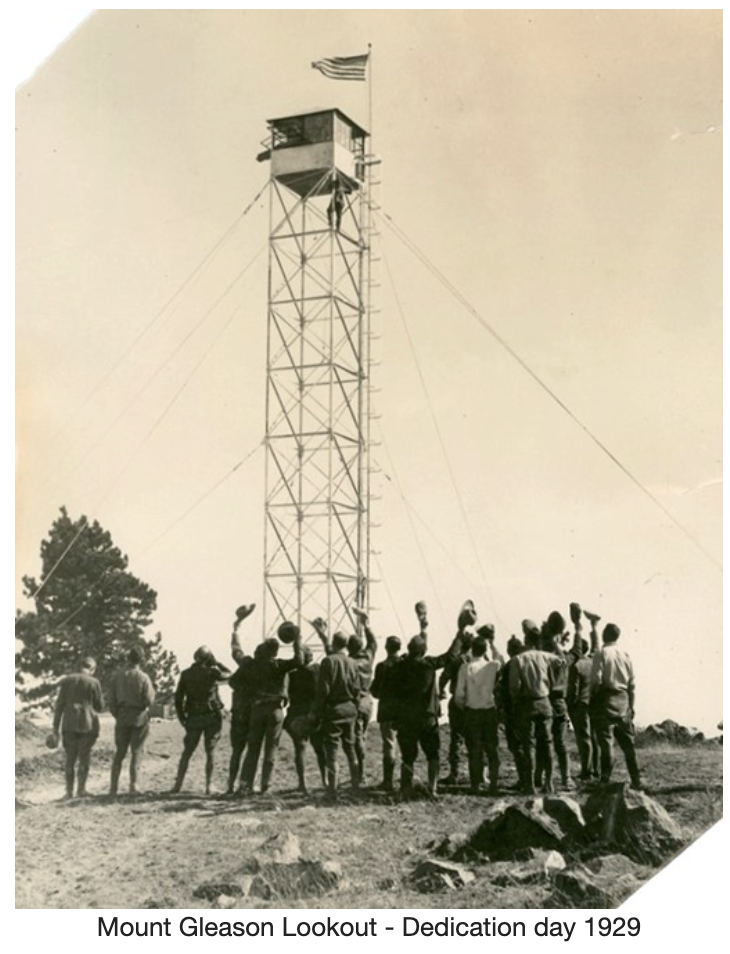
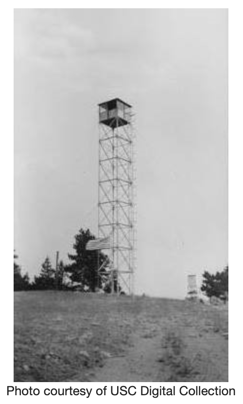
Edit – December 5th, 2022. I found some old photos and additional info about an old lookout tower which was once on to of Gleason. Description and photos borrowed from firetower.org without permission.
Constructed in 1927, this 60′ M8 tower with non-battered open X-brace steel (NOX-B) cab was probably the only steel tower lookout structure on the Angeles National Forest. It was torn down in the 1950s during the Cold War to clear the site for a Nike installation.
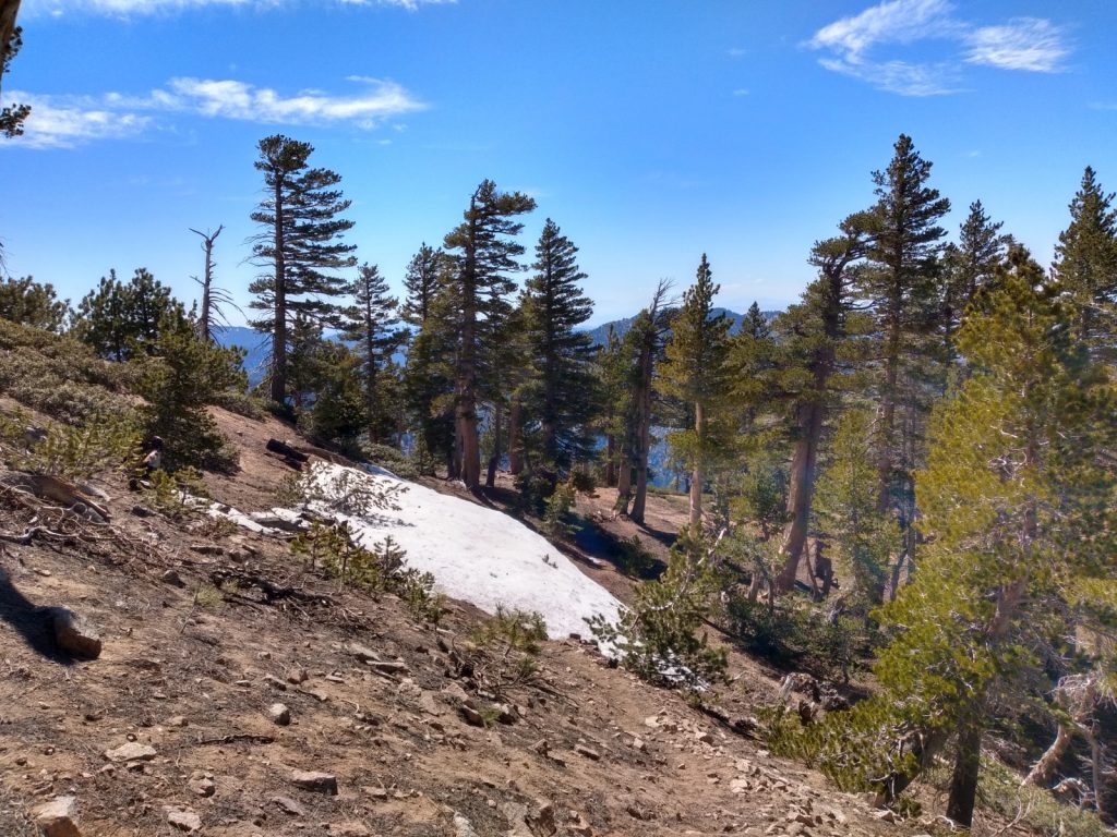
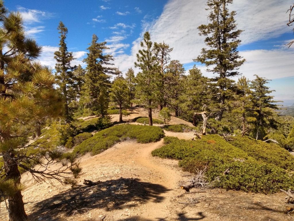
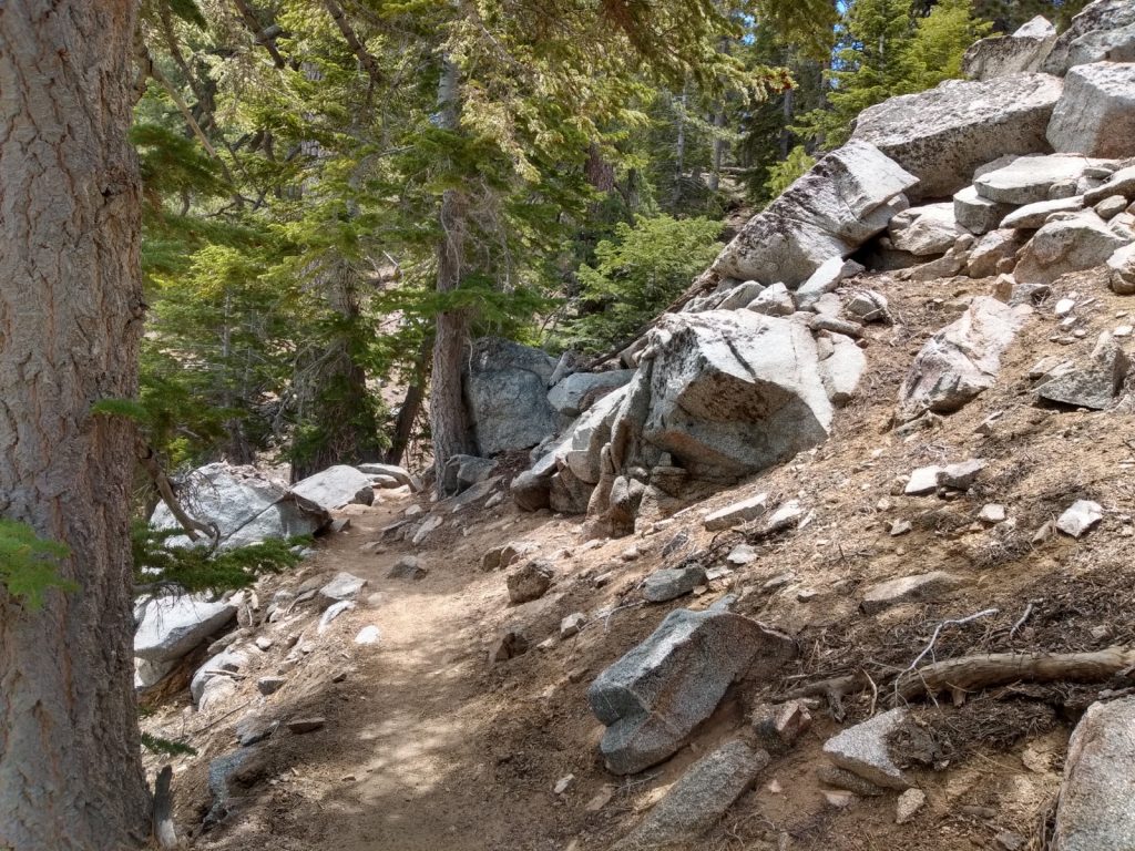
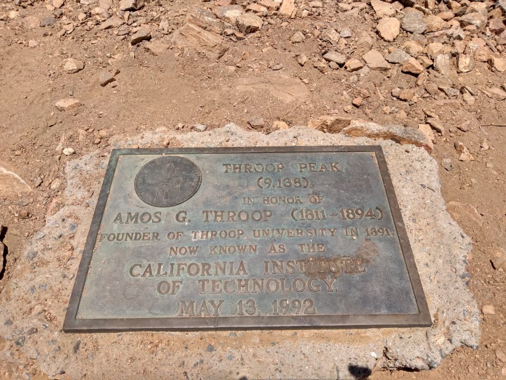
This was a nice hike, but a bit far from my QTH. I intended to do a double activation of Throop and Mt. Lewis, but the temperature was dropping and it was best to head home. The HF bands were kinda quiet, but I jumped on FM Simplex and made a bunch of contacts from Apple Valley to Temecula
This my second time activating Hoyt Mountain, however this time, I hiked up for the ARRL VHF contest and primarily worked 6M and 70CM, with a few contacts on 2M, and a couple S2S contacts. This is on my top 5 list of favorite summits because it’s close to home, and it’s not a popular place for Angelenos to hike; I’d like to camp up here sometime for an overnight activation in the future. See my previous activation of this summit HERE.
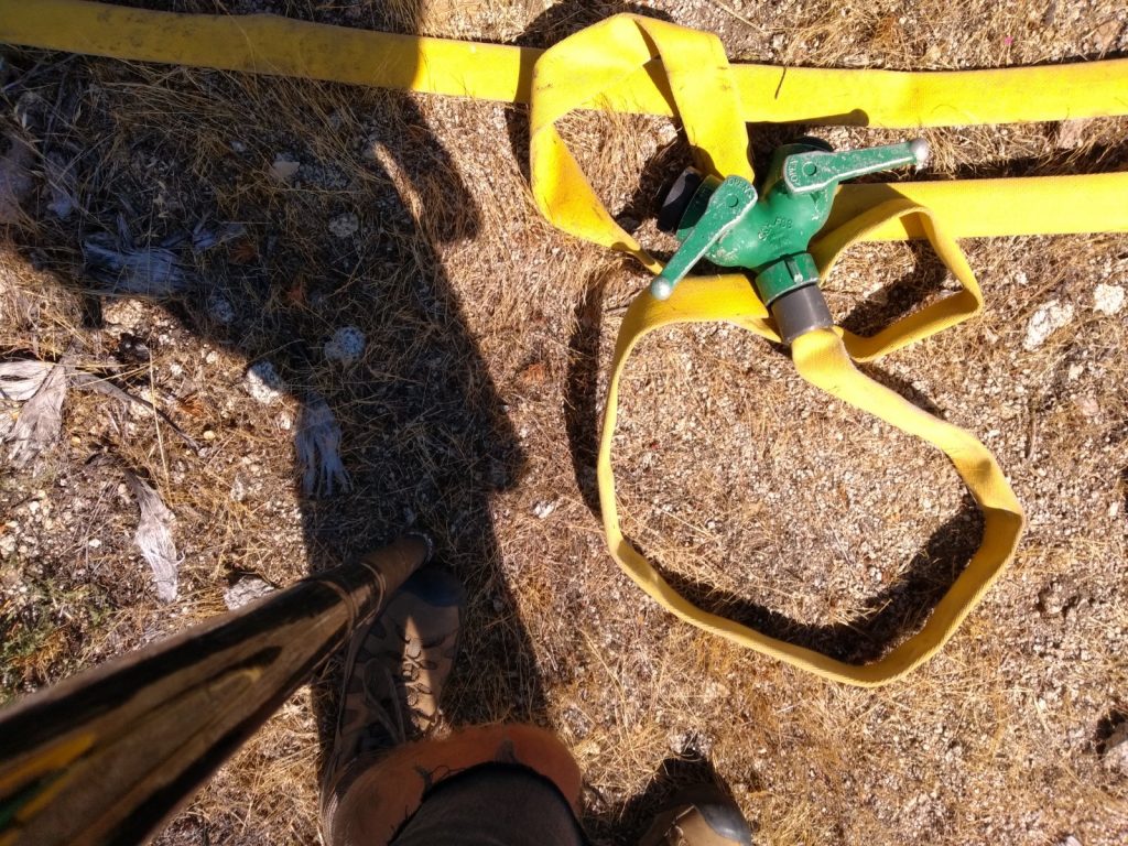
Fire road up to the saddleThis is the fire break trail, steep, narrow, several false summits before getting to the top.The station6M dipole; I hung a 2M, 70CM roll up j-pole off one of the legs after taking this photo.Quite a bit of old fire hose up here.
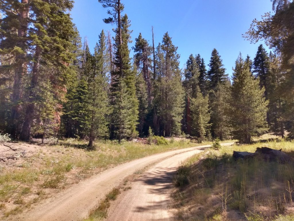
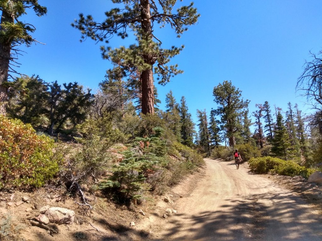
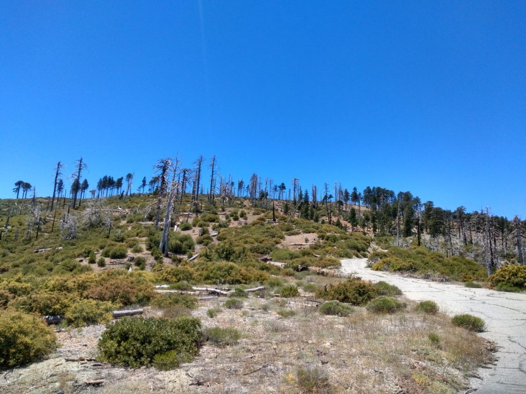
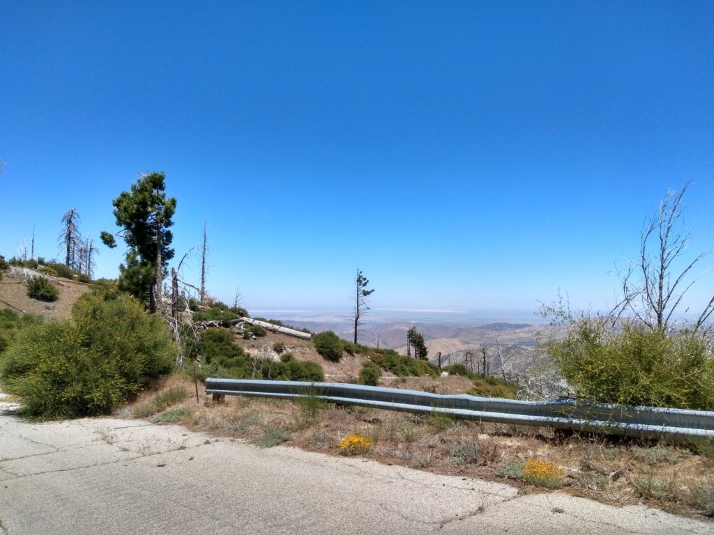
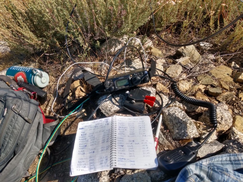
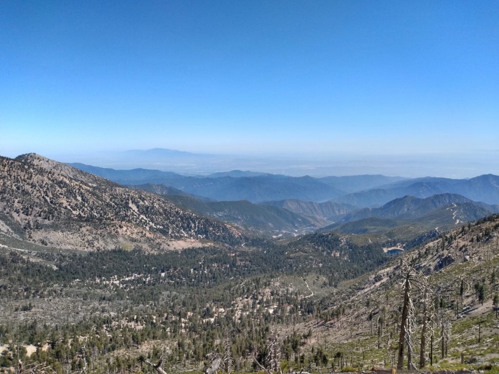
I was saving the higher elevation hikes for the summer with the idea it would be much cooler and enjoyable when the city below is being scorched by the sun. That’s not the case. It was hot, the route up was in full sun, and I wondered what it would take to loose some pack weight to make the trip up to the summit easier. Overall, it was enjoyable. Solar conditions were not so great, but I was able to make several QSOs on 20. 40M was dead, with only one QSO up to Washington State. Made a 2M CW contact, and a few 2M FM contacts right before heading down to the car.
(Update 05-09-2022 – a server migration, plugin and php update revealed the timestamps on this .gpx file are broken. I’ve added fake times so this page renders correctly)
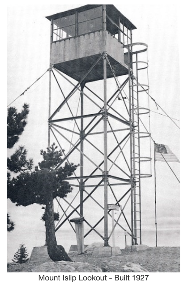
Edit December 5th, 2022 – The following description and photos were borrowed from firetower.org without permission, see link below for original source.
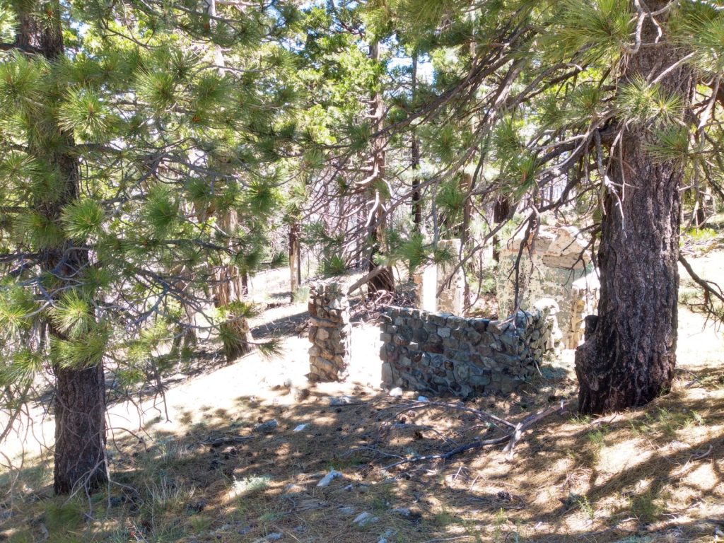
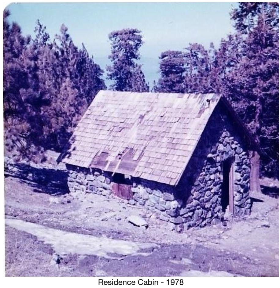
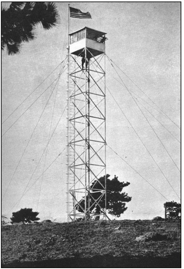
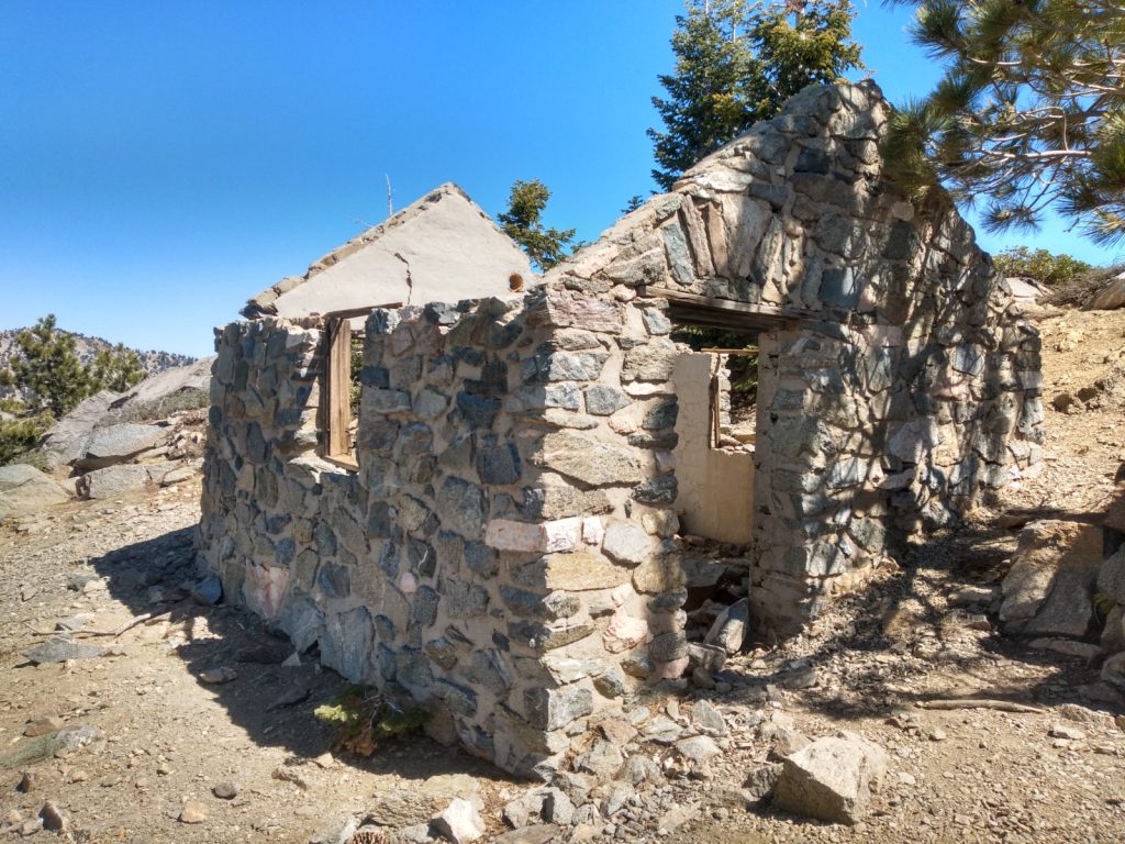
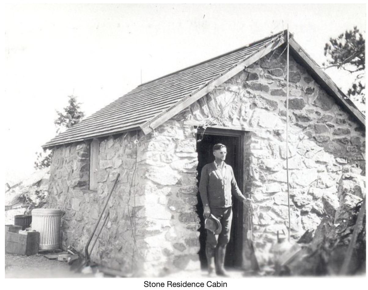
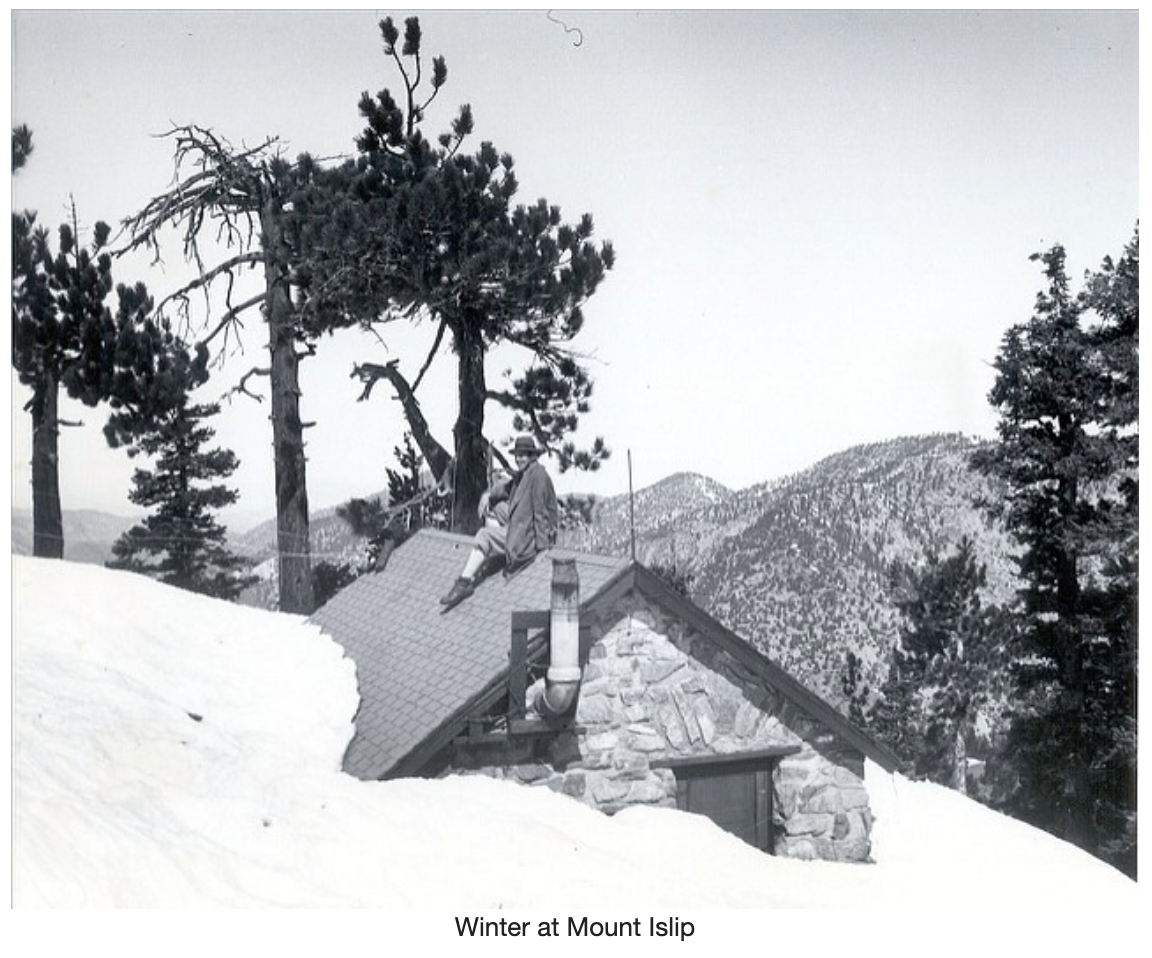
Mount Islip was constructed in 1927, a 22 foot X-Brace steel tower with an 8×8 observation cabin by the Los Angeles County Fire Department. A stone residence cabin was built nearby. It’s ruin still stands today.
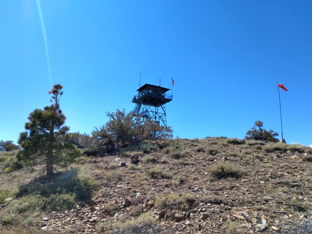
The lookout tower was reportedly moved to South Mount Hawkins in 1938 before being replaced shortly thereafter by the structure that stood until 2002.
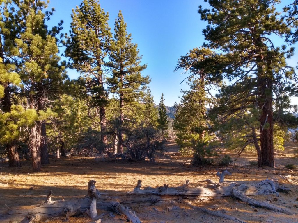
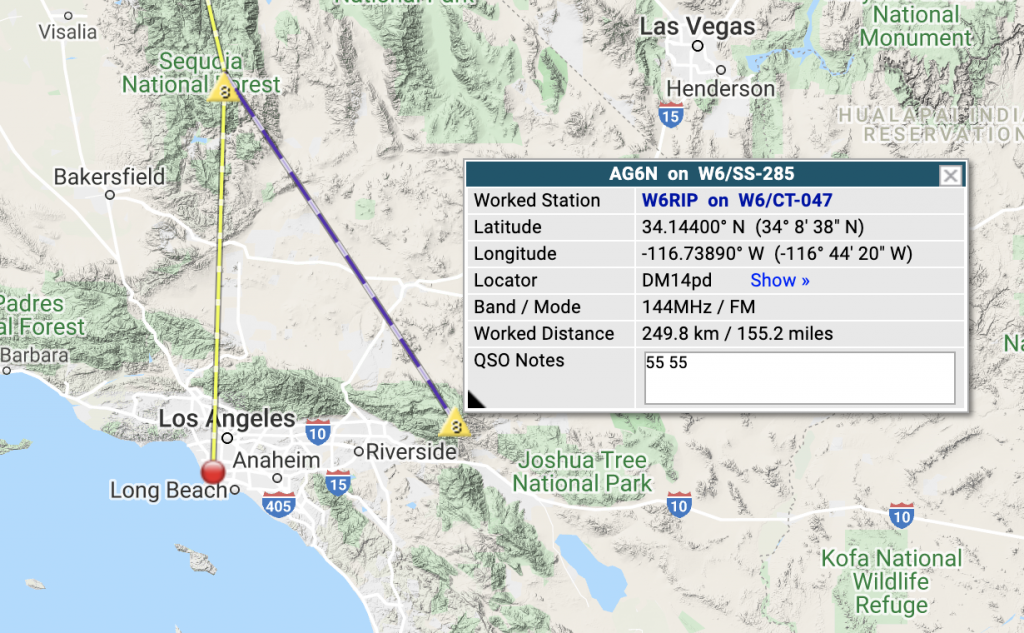
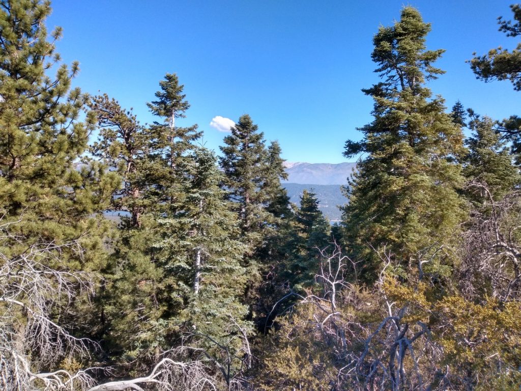
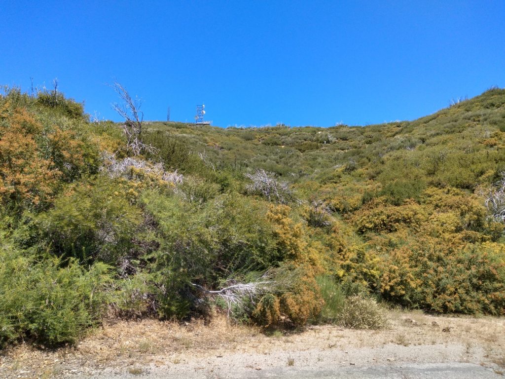
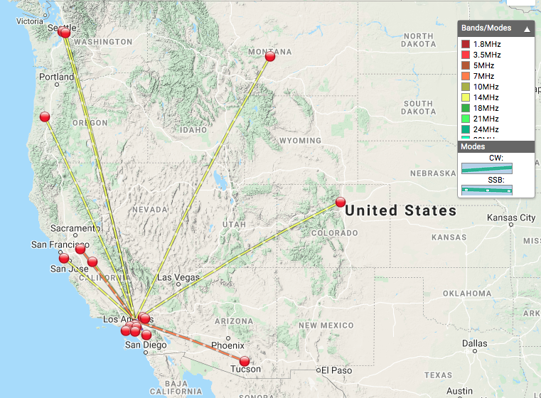
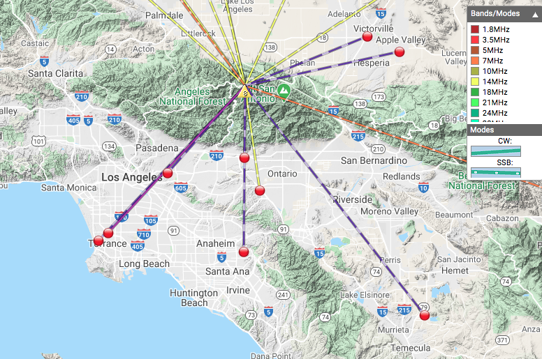
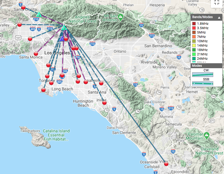
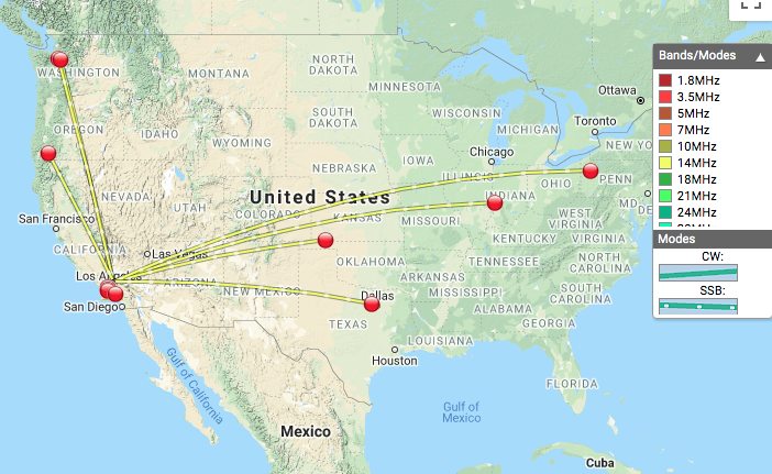
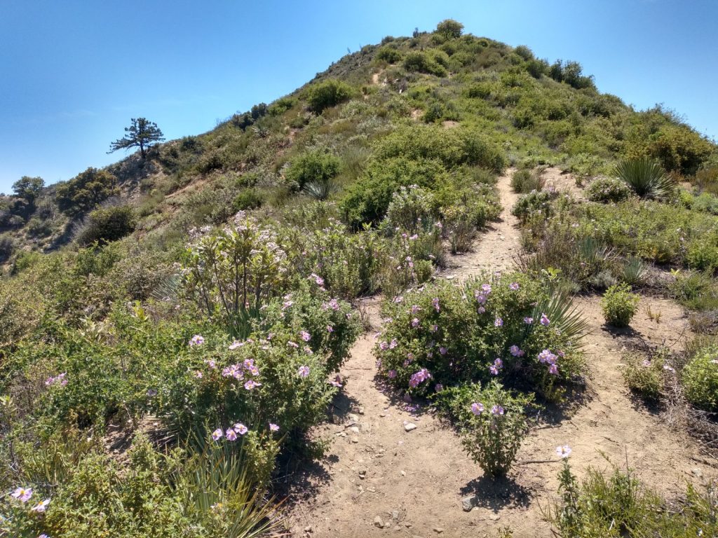
May 10th. This is the second time I activated this summit; read about the first one HERE. 20M was working pretty well. S2S contacts with AG7GP on W7O/CS-073 (20M), and WC6J on W7N/TR-005 (40M). Being early May, the weather was cooler and the flora was green and blooming.