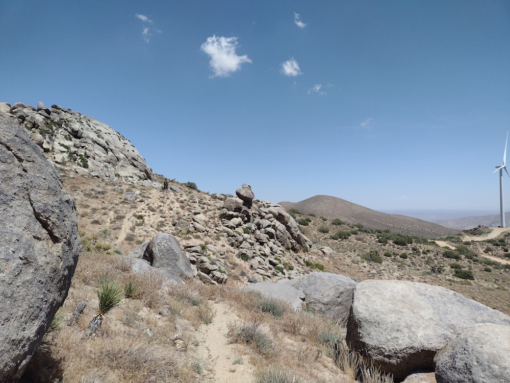
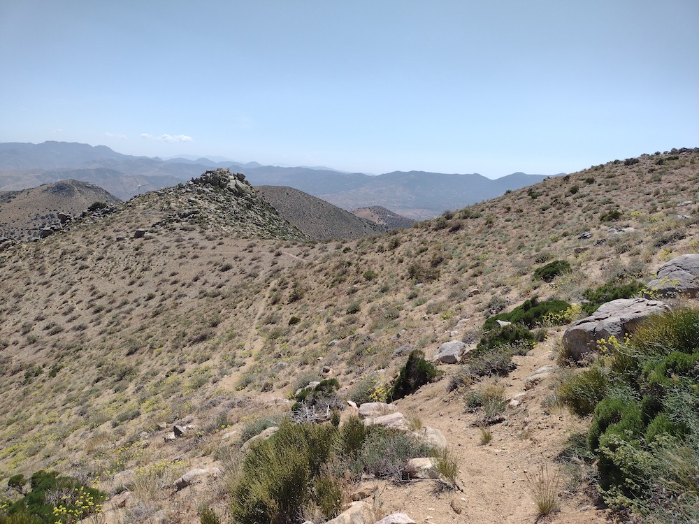
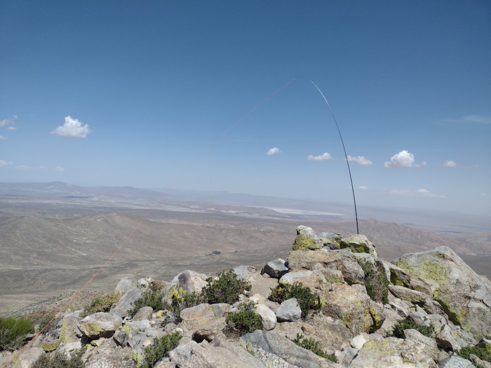
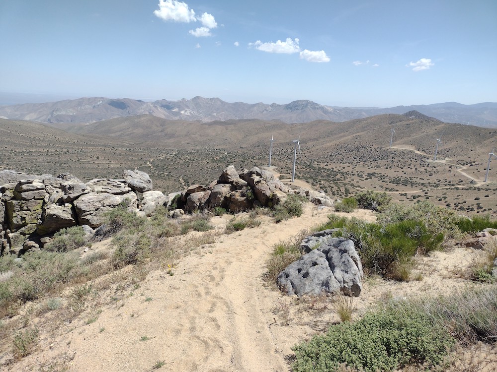
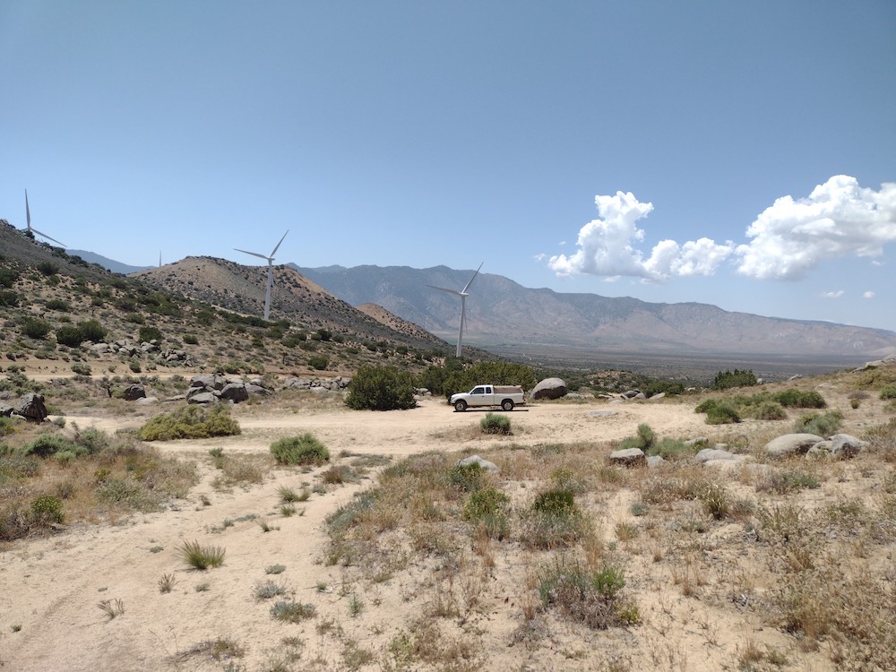
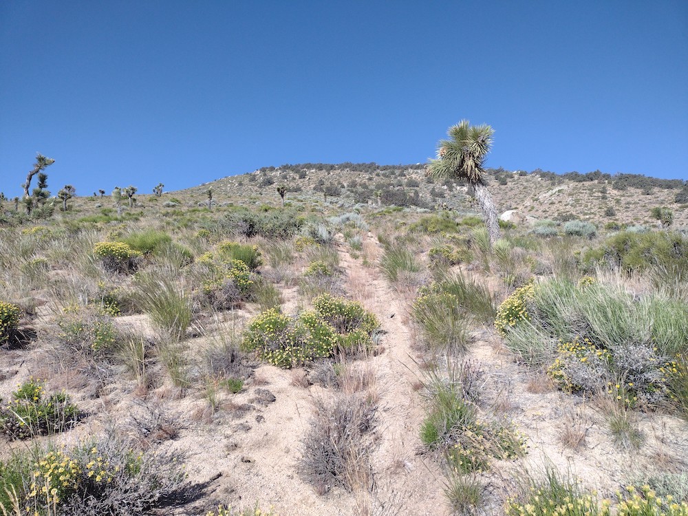
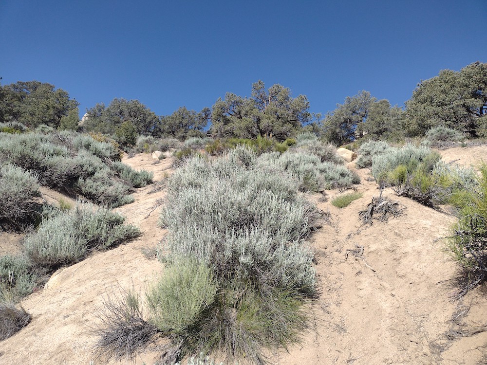
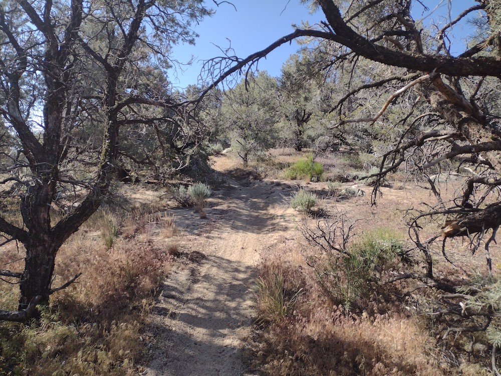
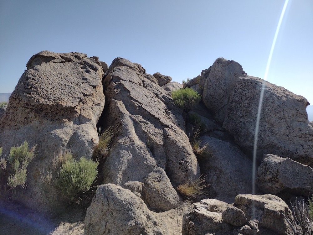
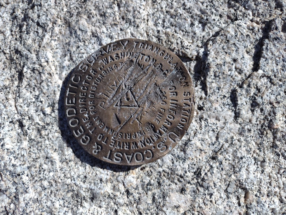
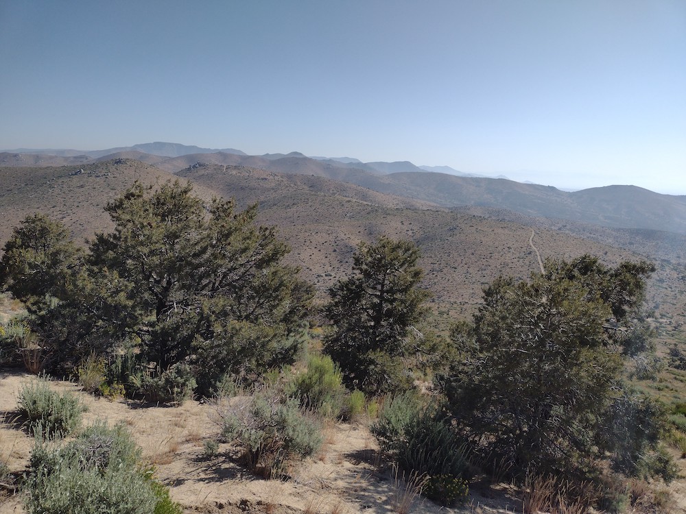
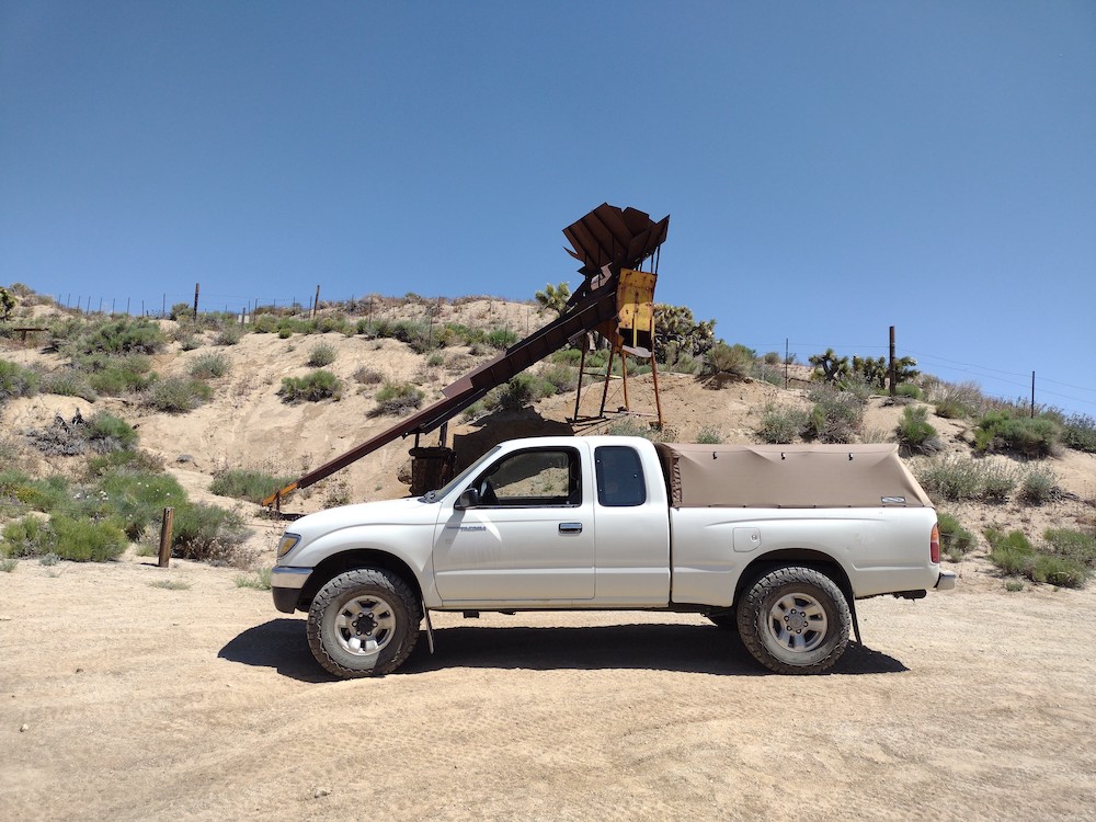
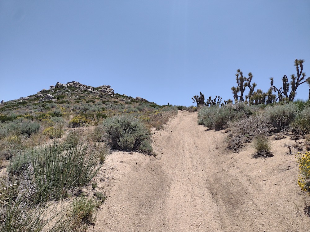
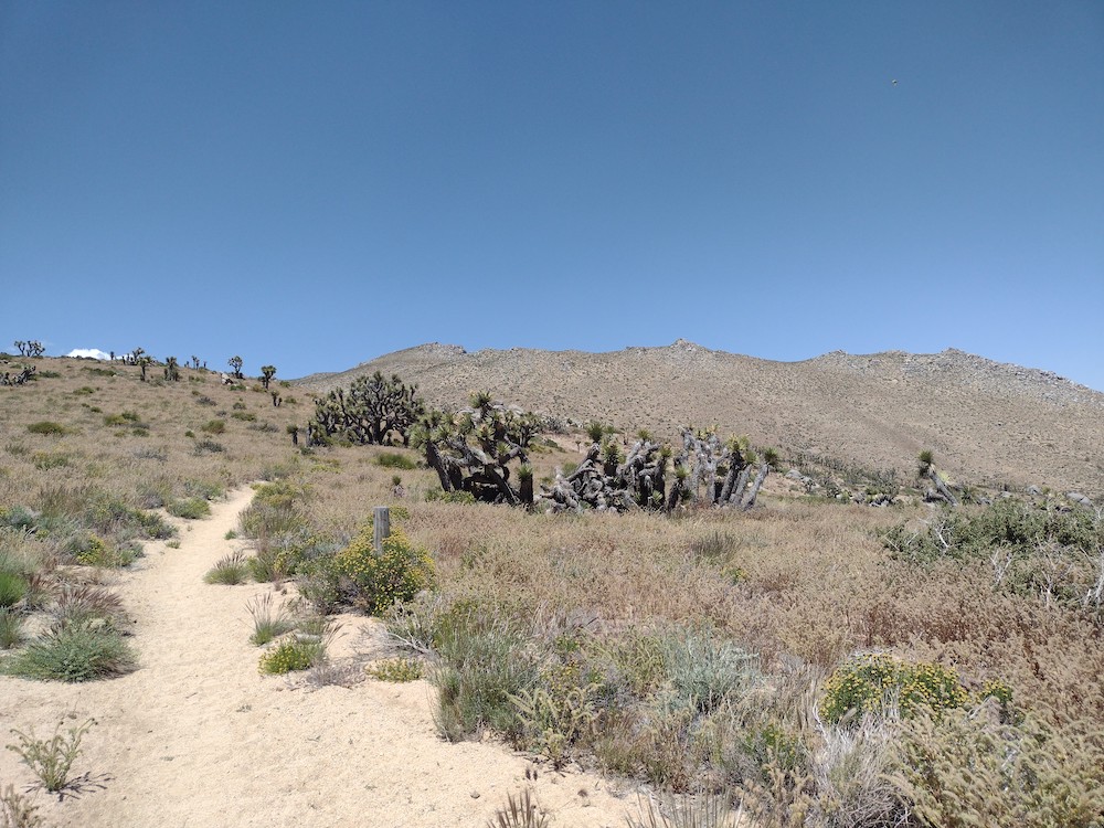
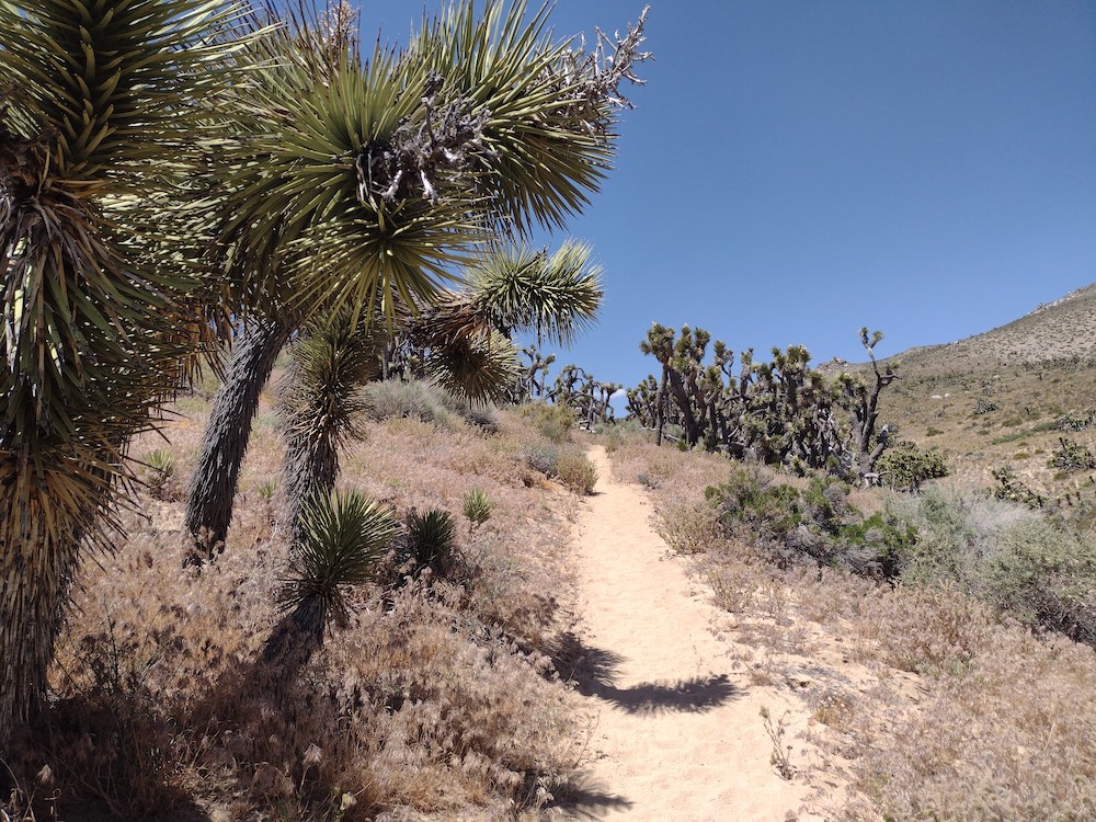
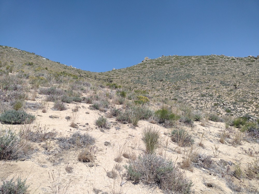
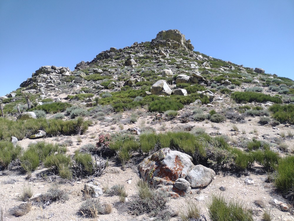
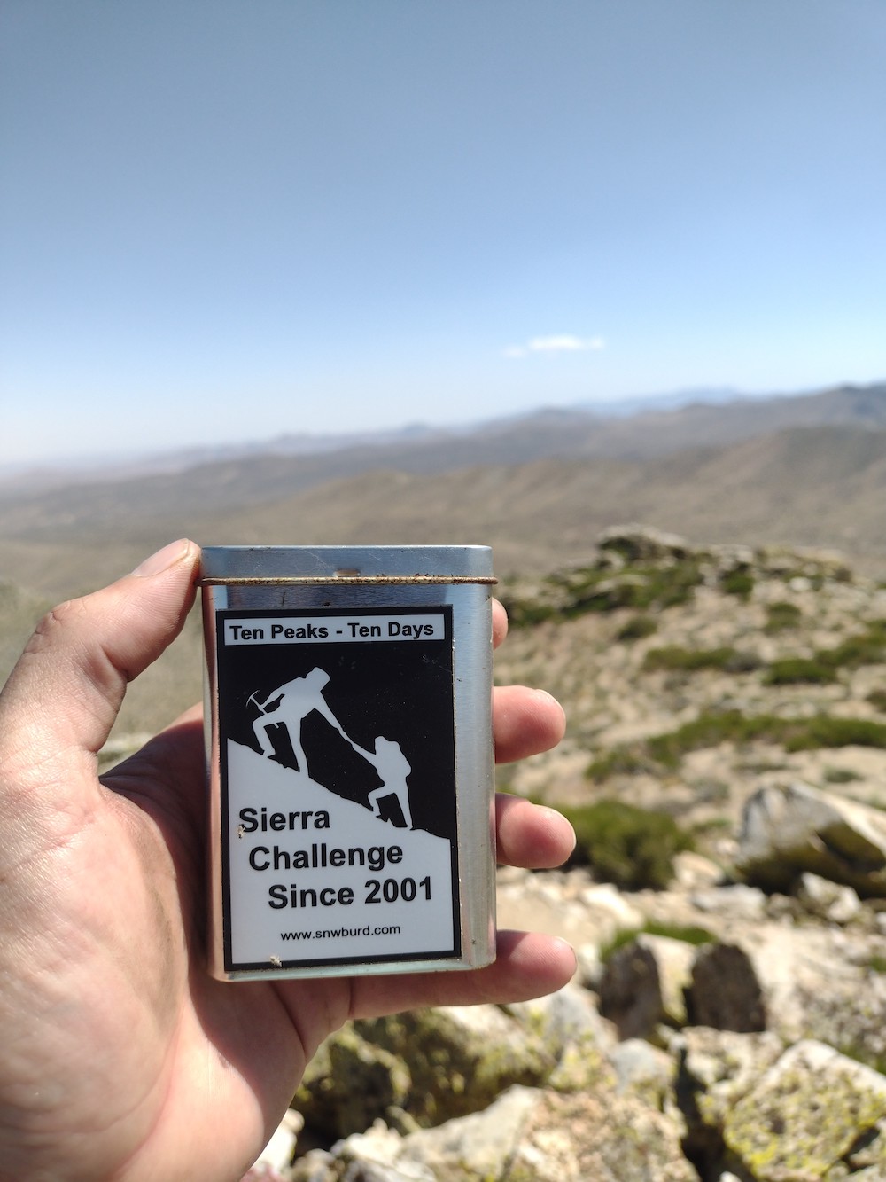
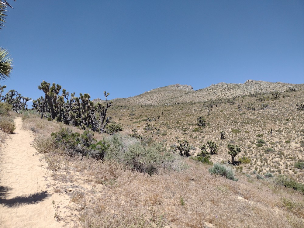
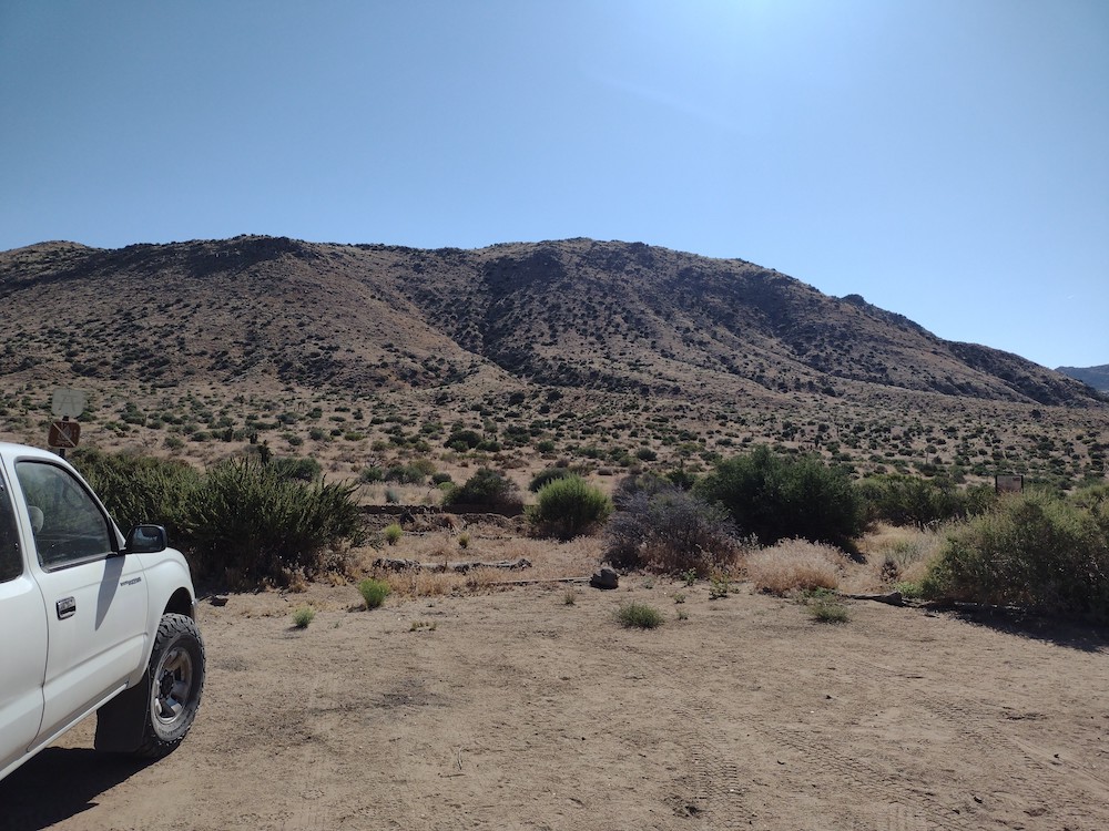
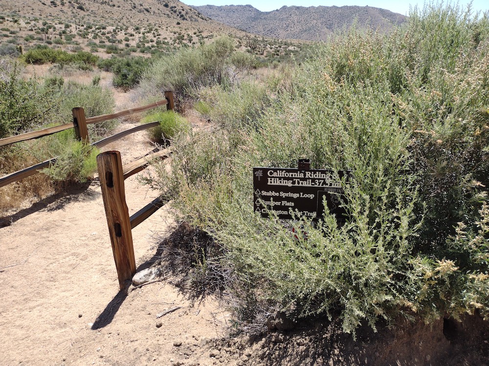
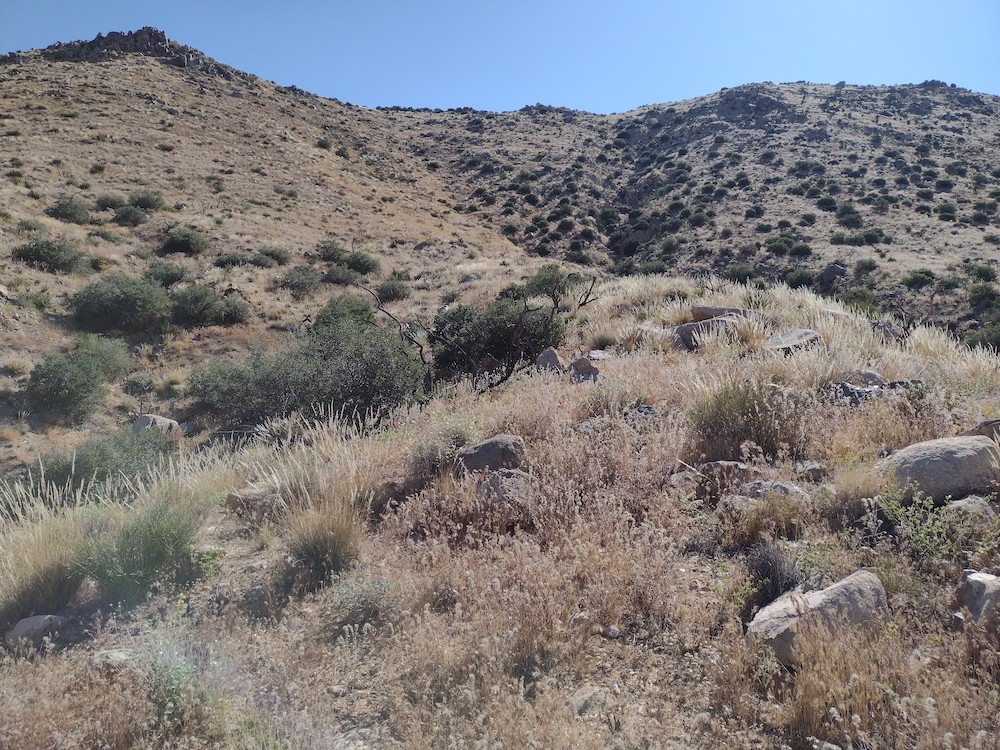
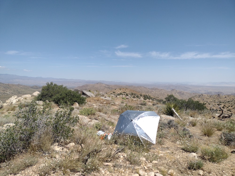
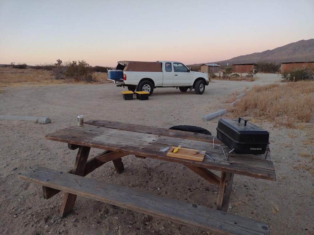
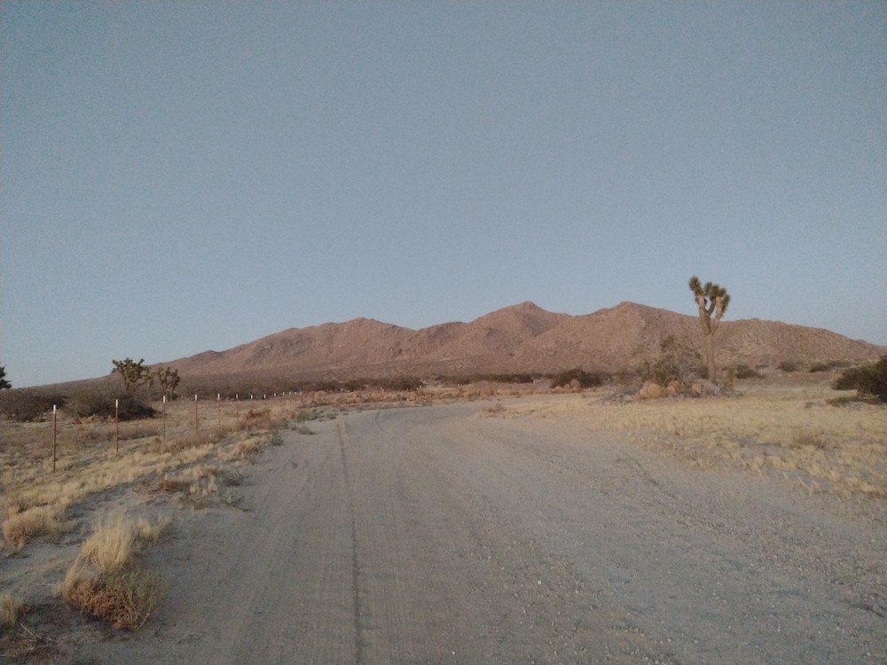
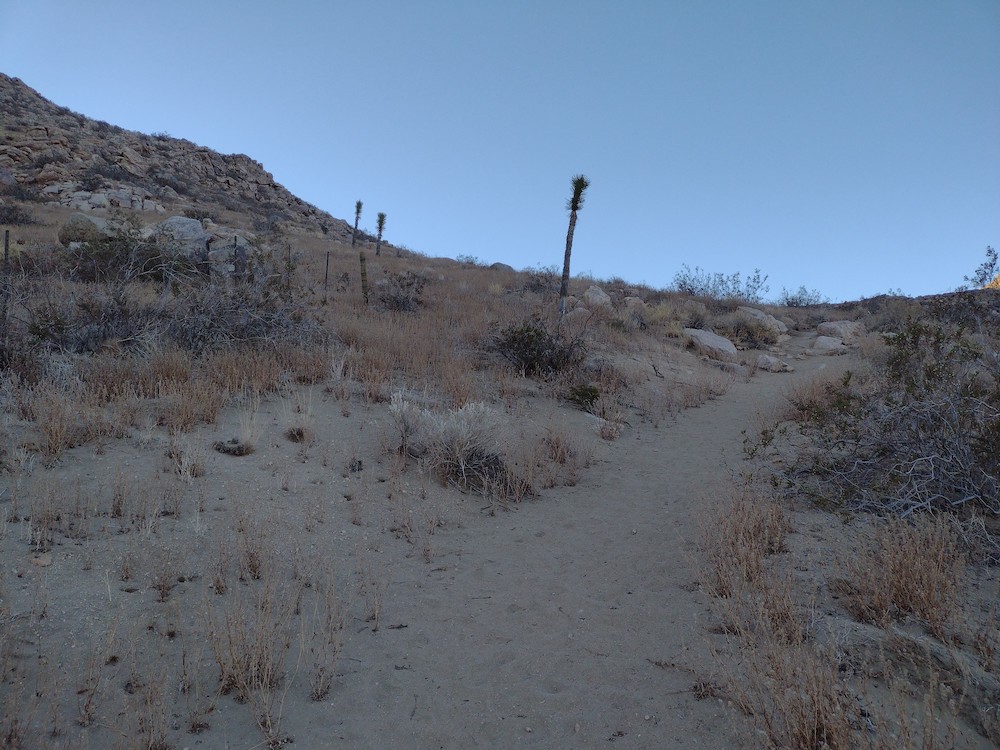
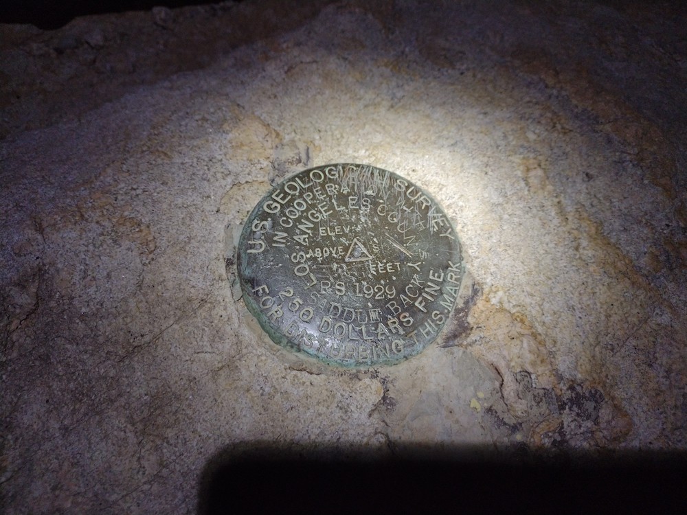
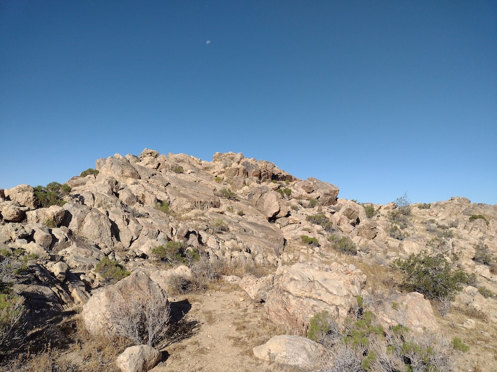
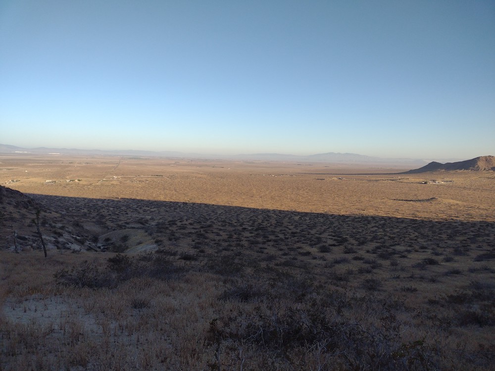
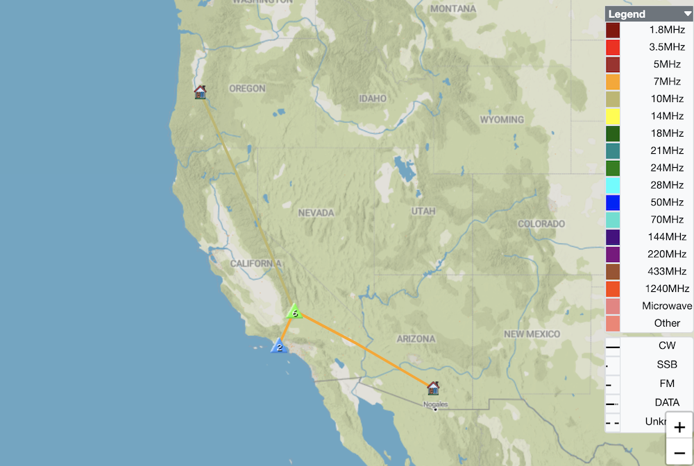
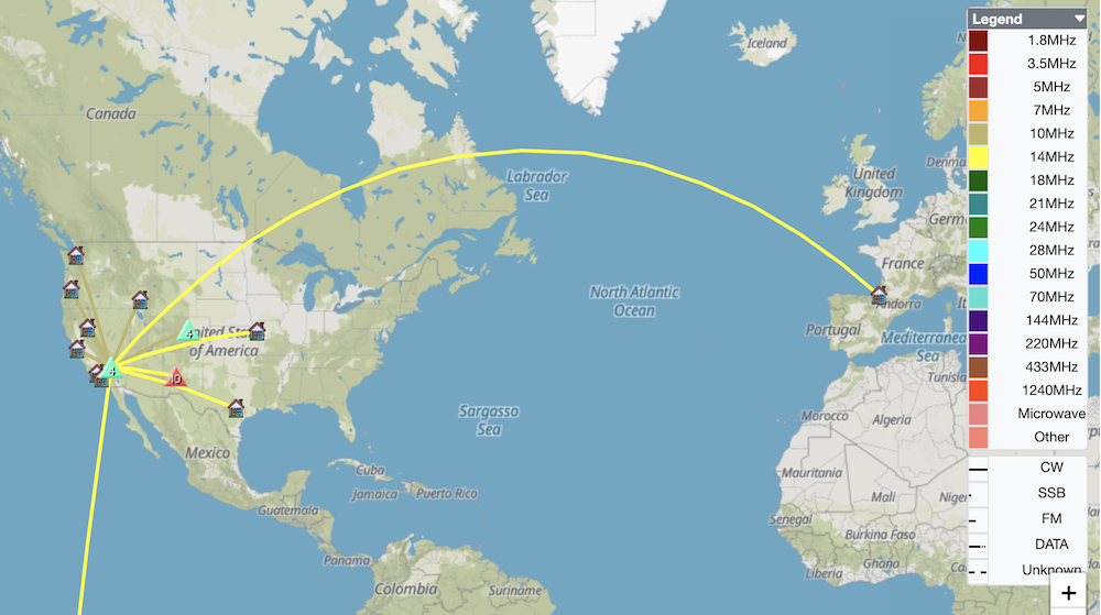
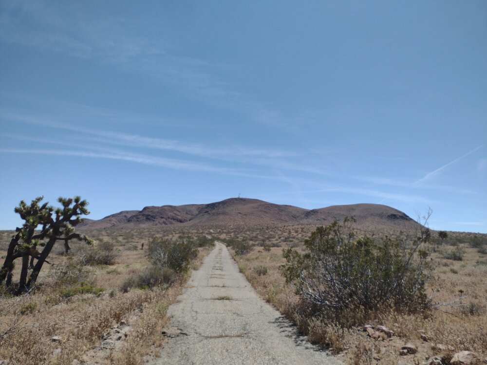
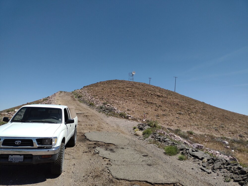
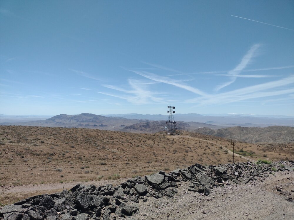
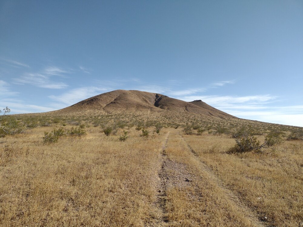
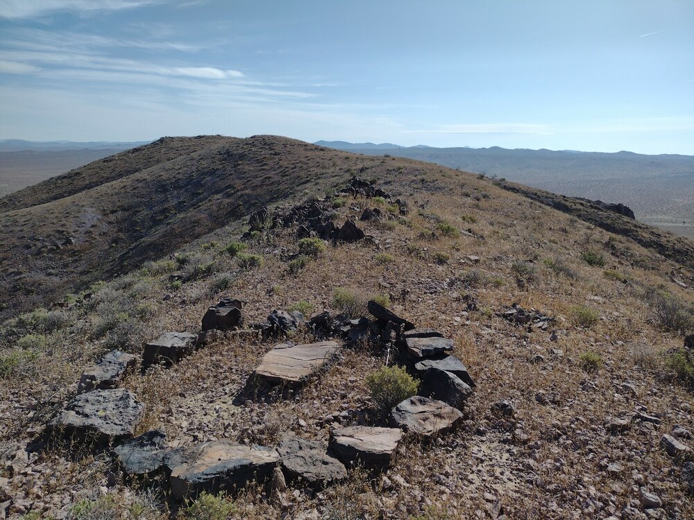
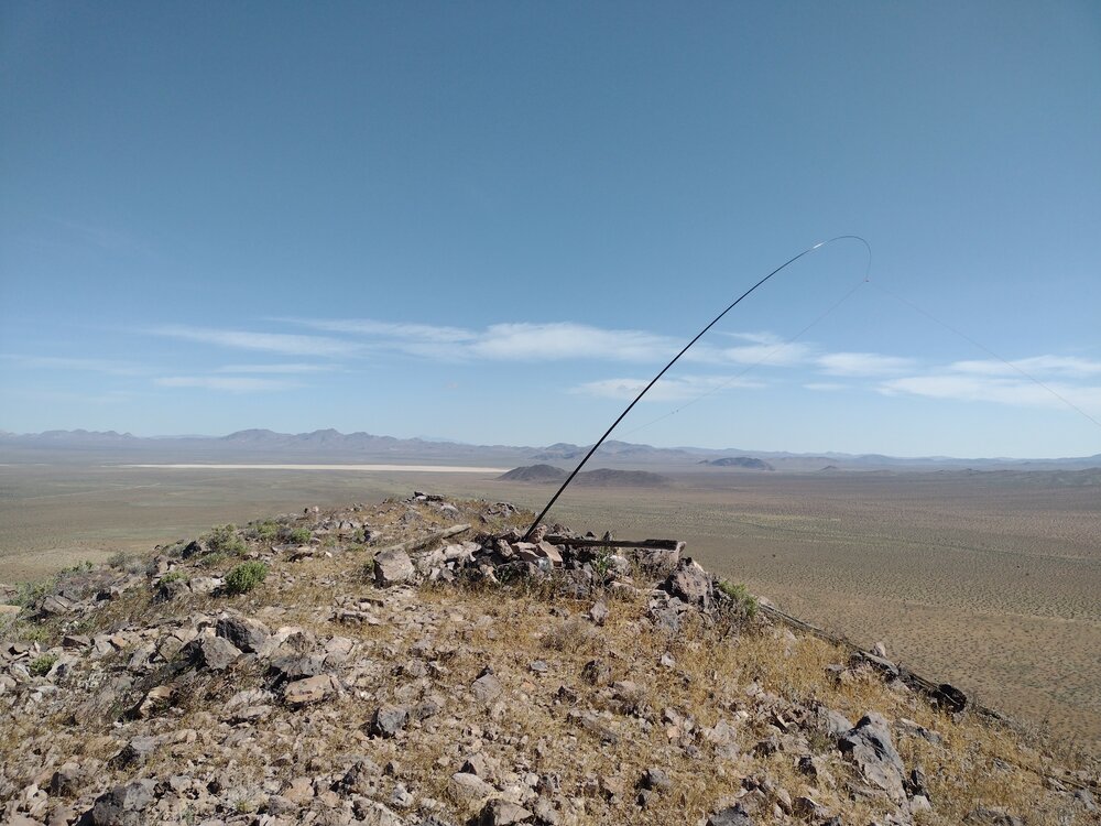
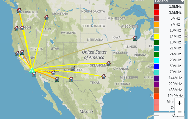
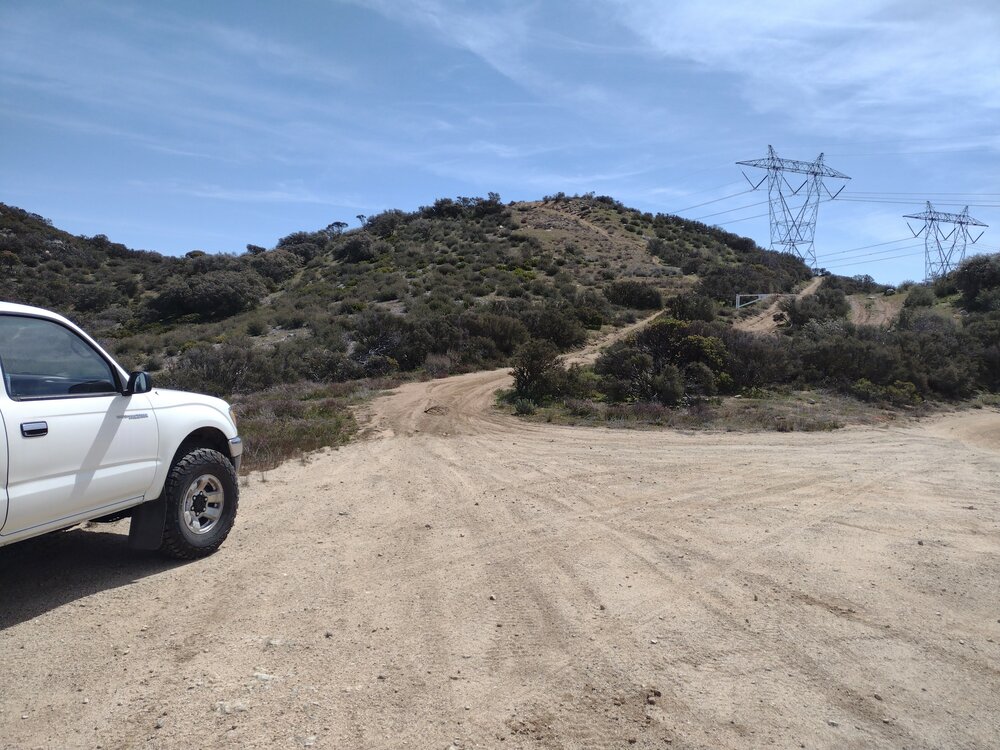
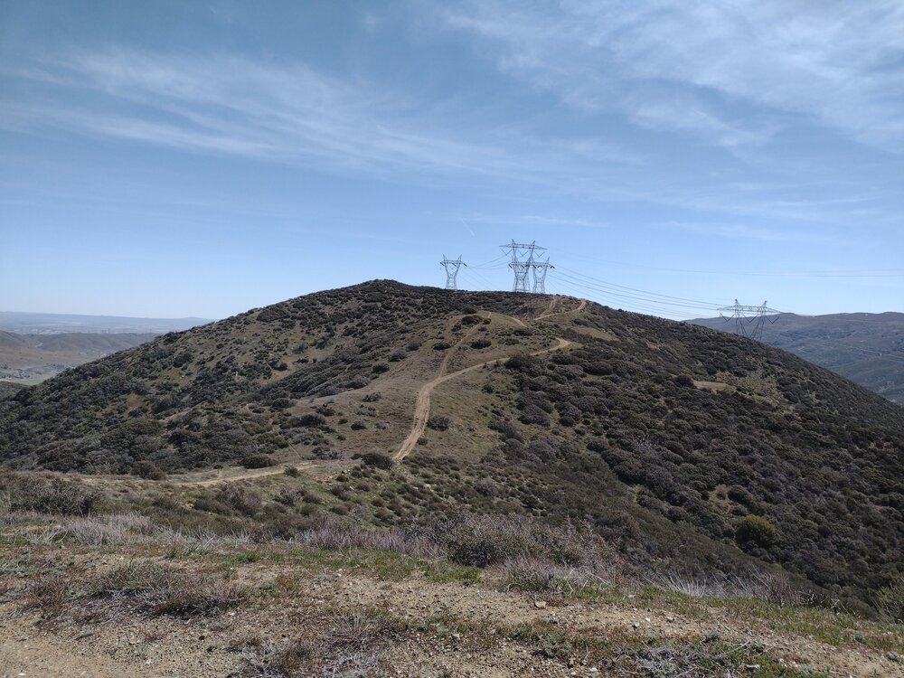
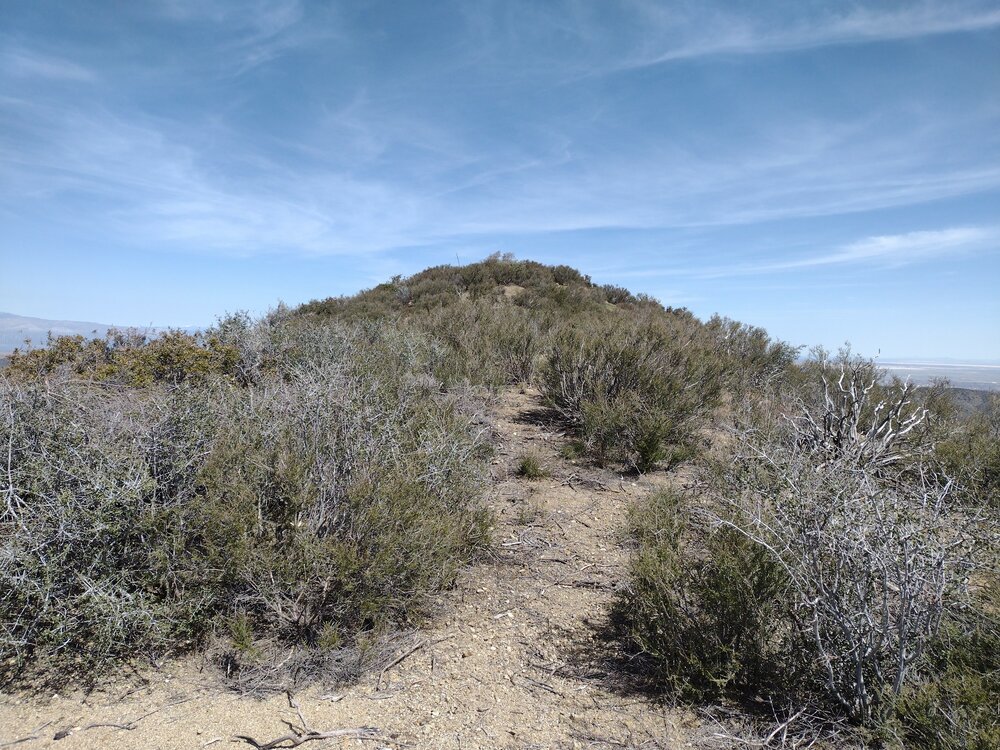
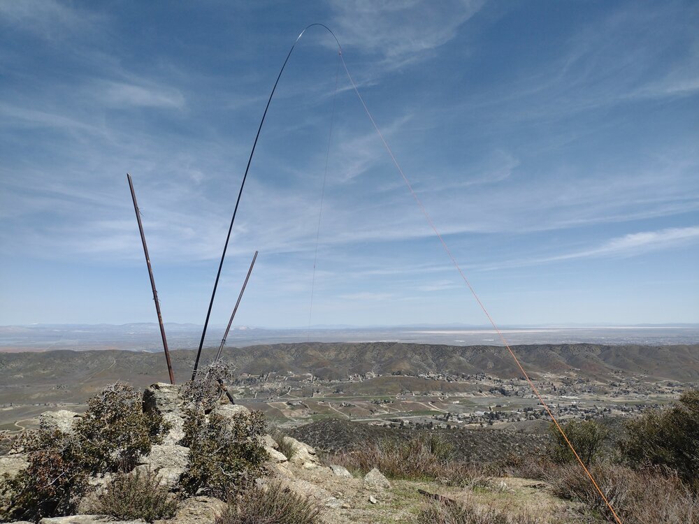
Butterbredt Peak was my first stop on a trip to activate several summits around the northern edge of the Mojave Desert and the south edge of the Sierra Nevada mountain range. I left Los Angeles for my trip late in the day which had me rushing to get up to the summit before 0:00 zulu. This also put me square in the hottest part of the day. The hike up Butterbredt started easy, but maybe a half mile in the path got steep and extremely sandy, to the point where I felt like I was on a sand treadmill, only making a few inches of progress for each step. Thankfully, this section was short and I was able to continue on. Along the way, fighter jets ripped through the sky along with the defining sound of their engines. I sat and watched them fly around for 10 minutes or so. The top was windy, which is expected on desert summits. I spotted via APRS and started calling CQ on 40M. Not too many takers. I moved to 30M and picked up one more contact, then moved to 20M. Picked up one more contact there. Just 4 contacts on 3 bands… Was my radio broken? Nope, there was a solar event which was blacking out HF. I hiked down the same way I came up, got into the truck and looked for a place to camp for the night.
https://sotl.as/summits/W6/SS-423
Total climbing: 1425 ft
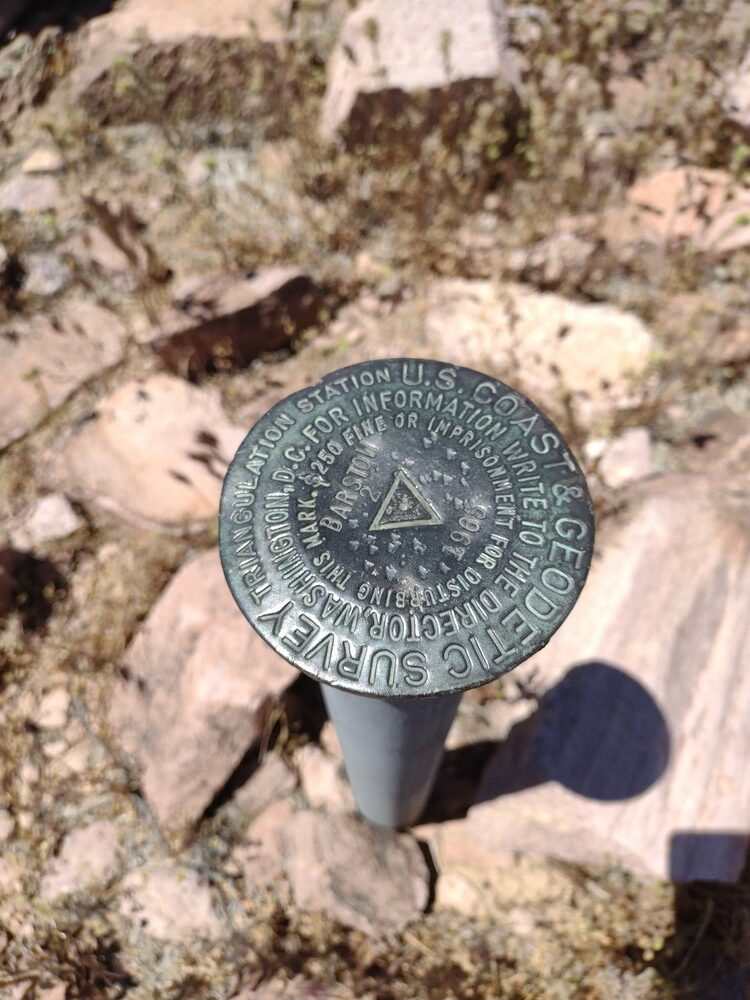
Date:01/06/2023 | Summit:W6/SS-423 (Butterbredt Peak)
| Time | Callsign | Band | Mode | Notes |
|---|---|---|---|---|
| 22:42 | WB6POT | 7MHz | CW | S58N R57N |
| 22:44 | W6TDX | 7MHz | CW | S57N R55N |
| 22:58 | WW7D | 10MHz | CW | S33N R32N |
| 23:15 | W7NNR | 14MHz | CW | S57N R559 |