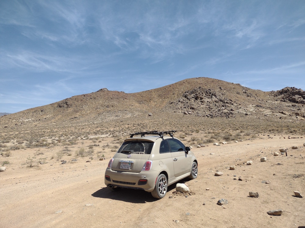
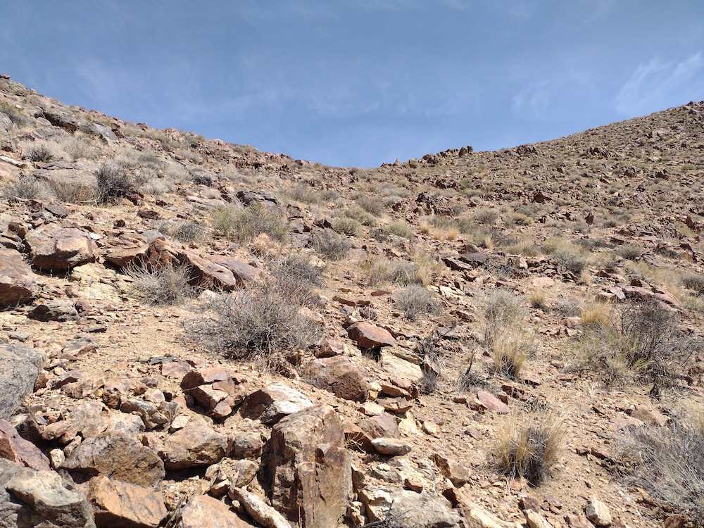
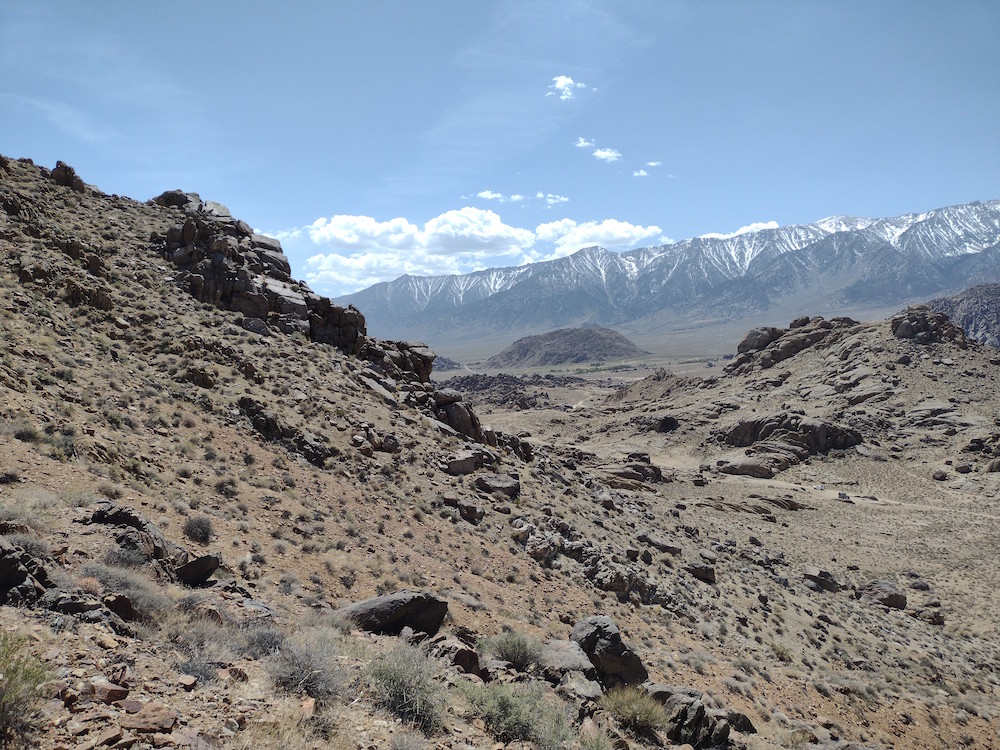
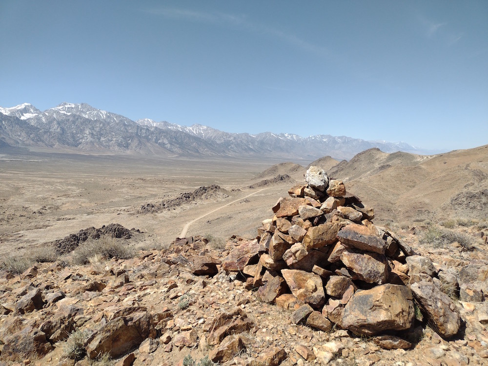
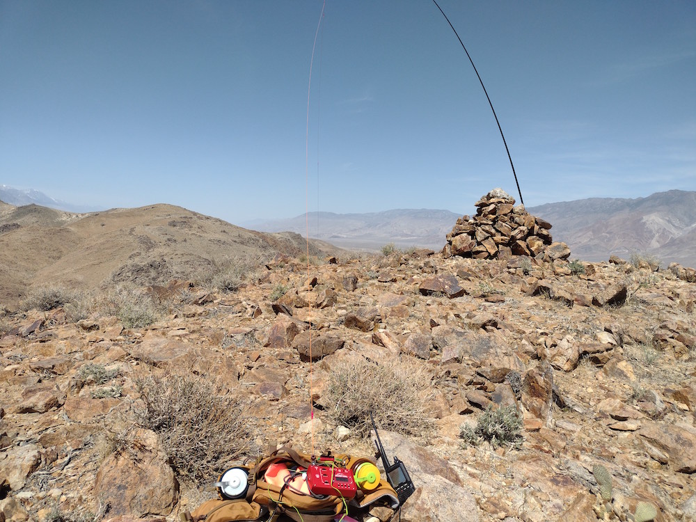
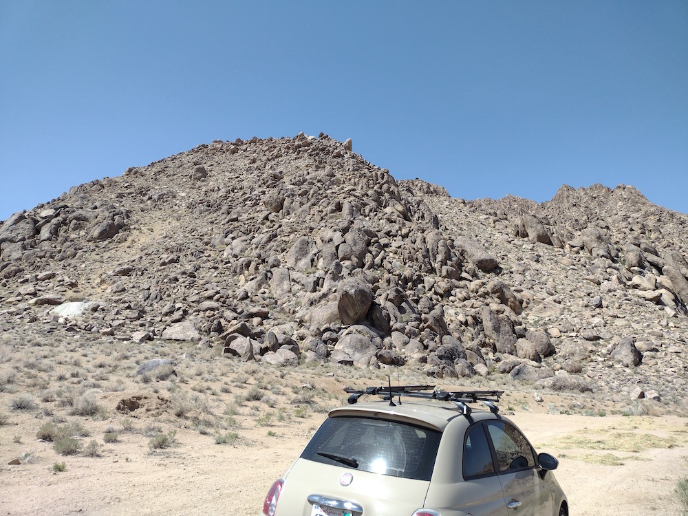
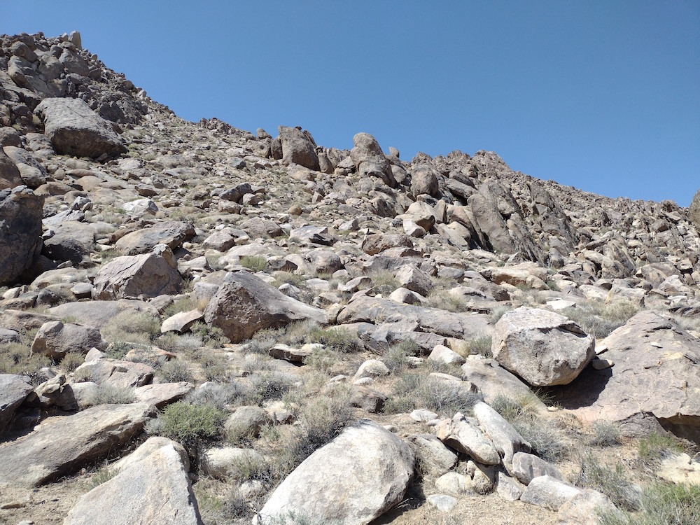
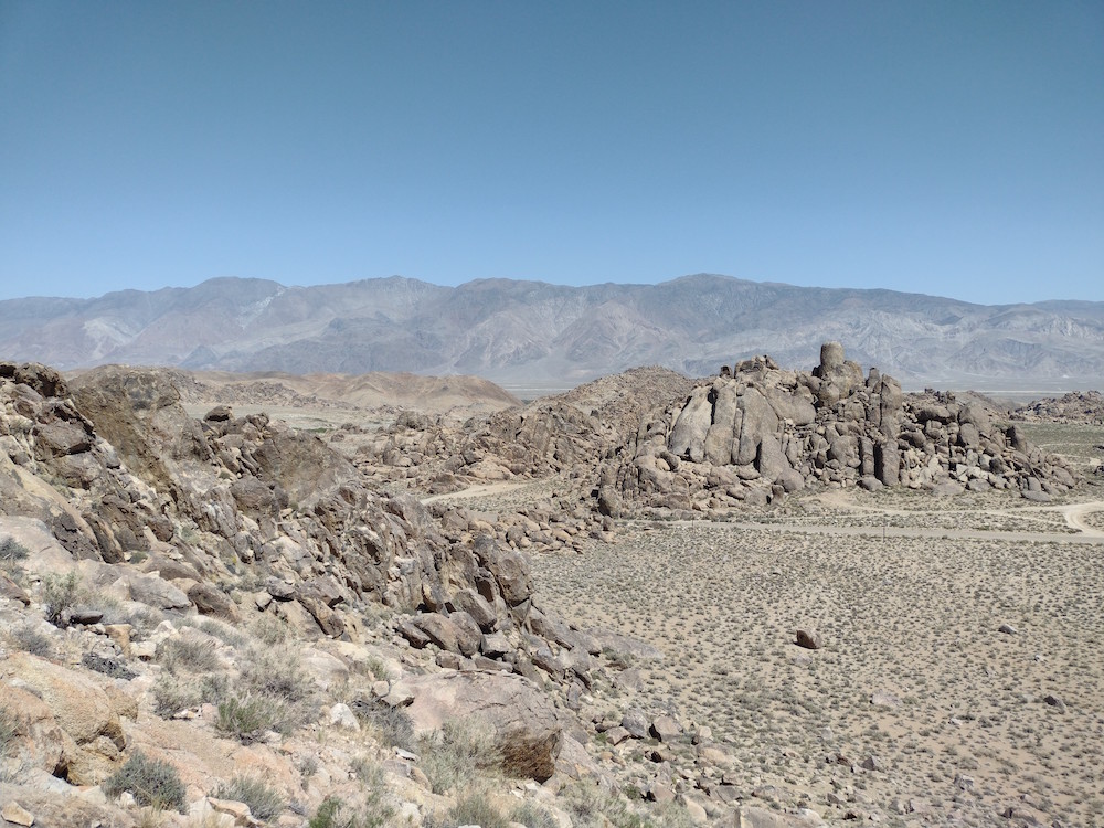
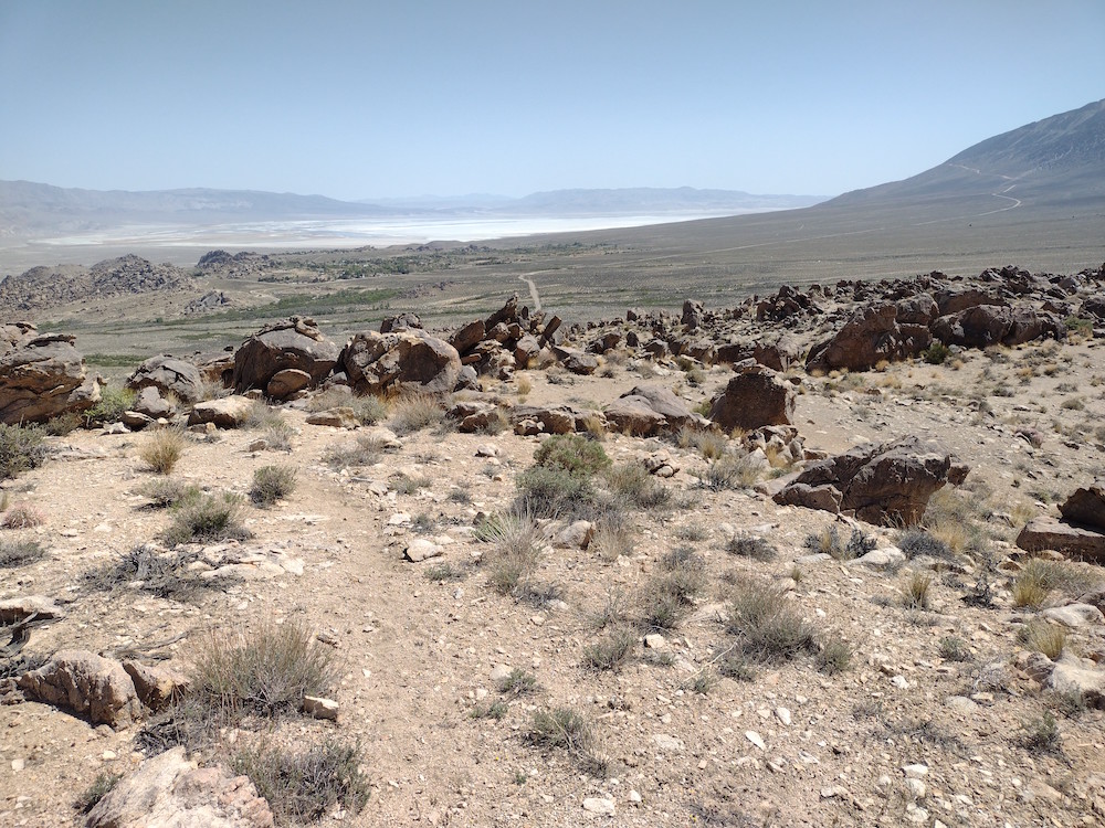
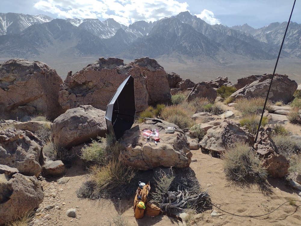
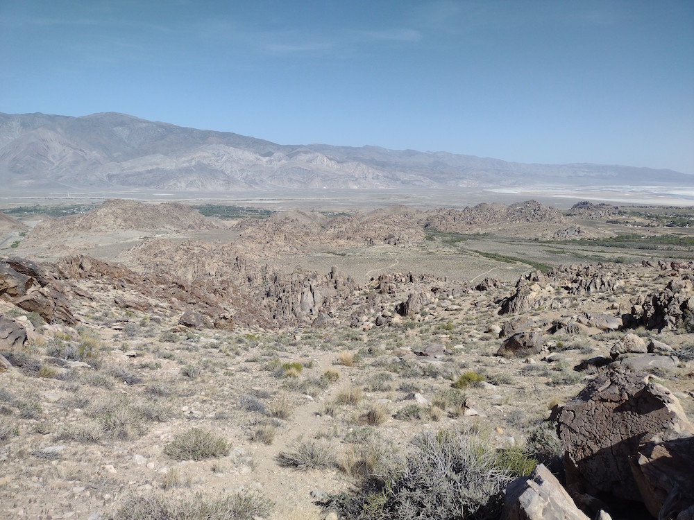
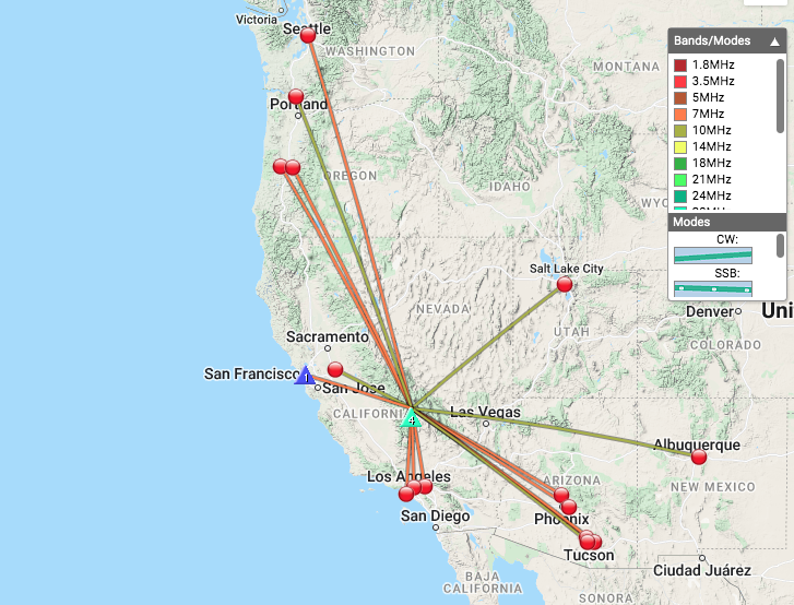
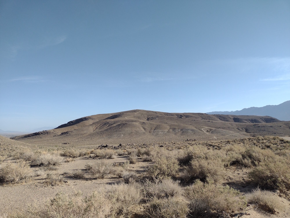
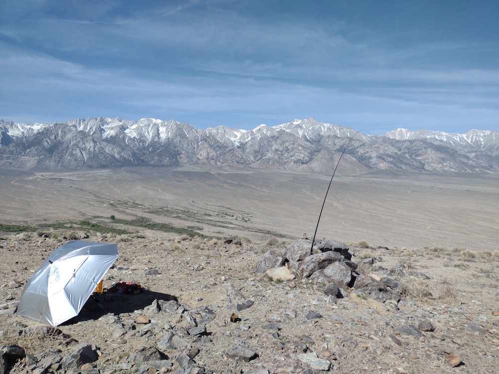
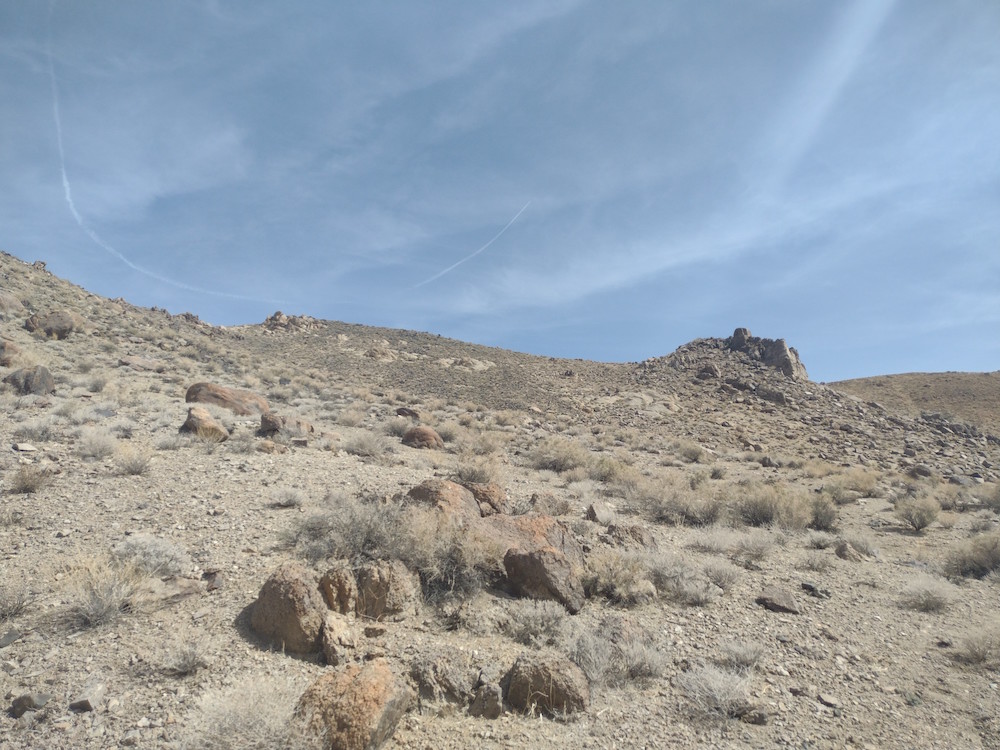
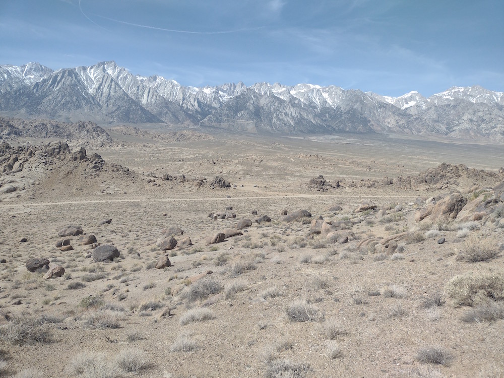
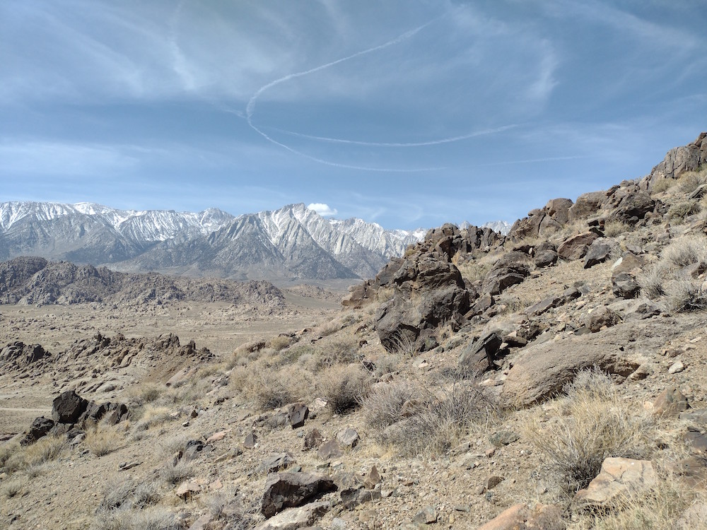
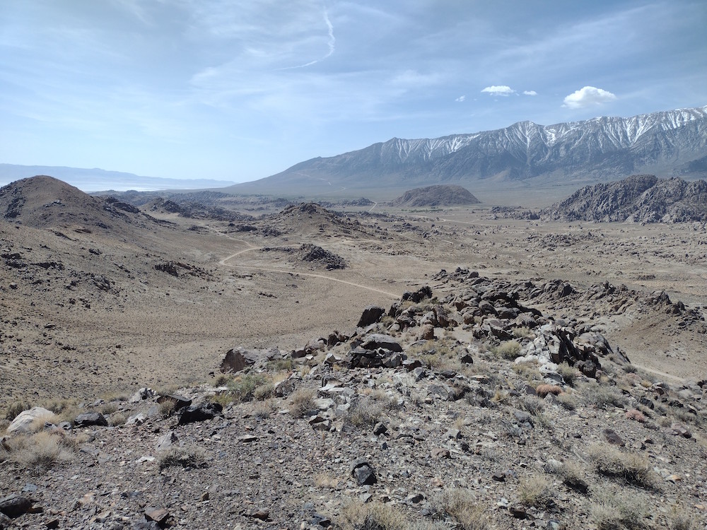
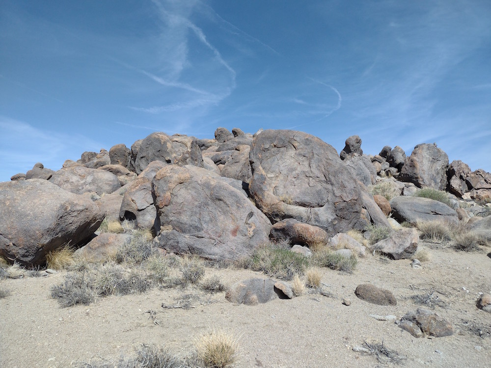
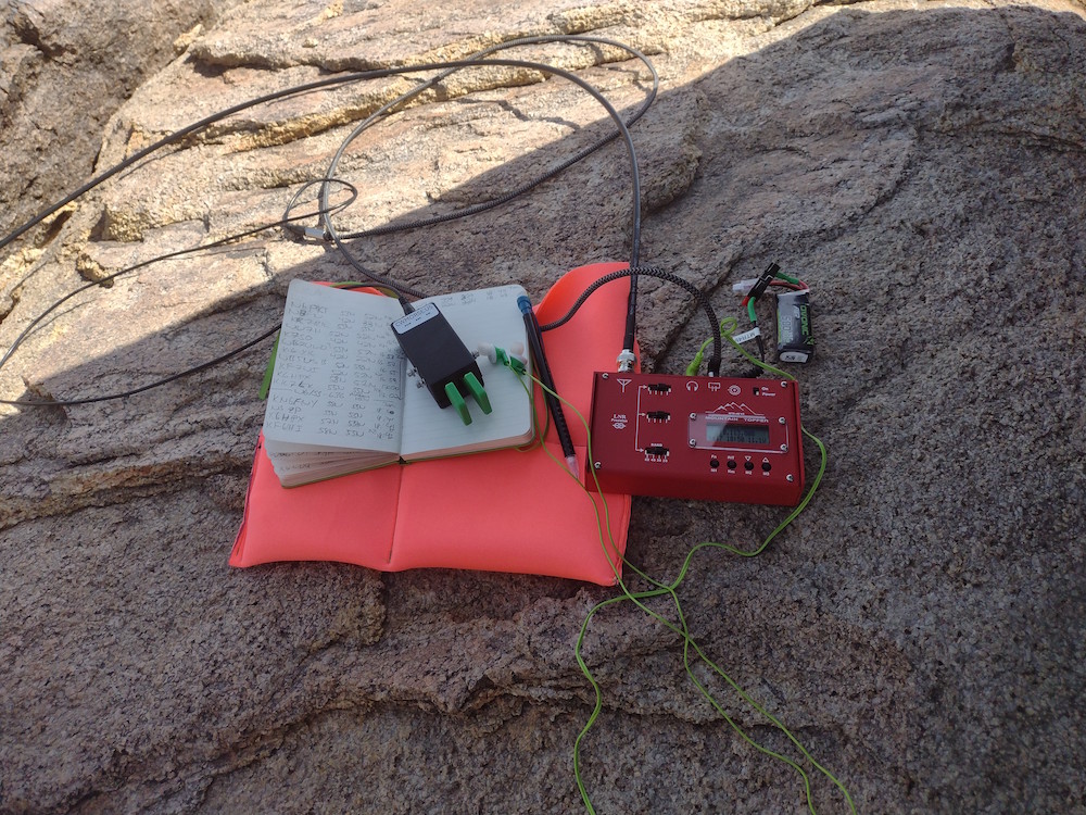
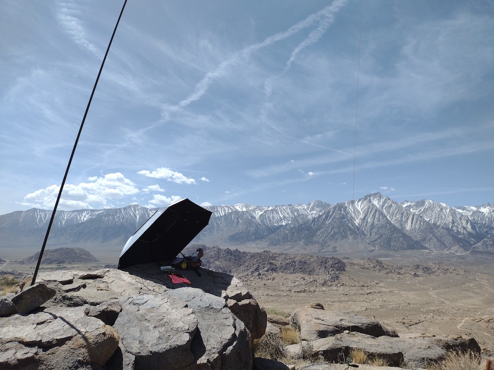
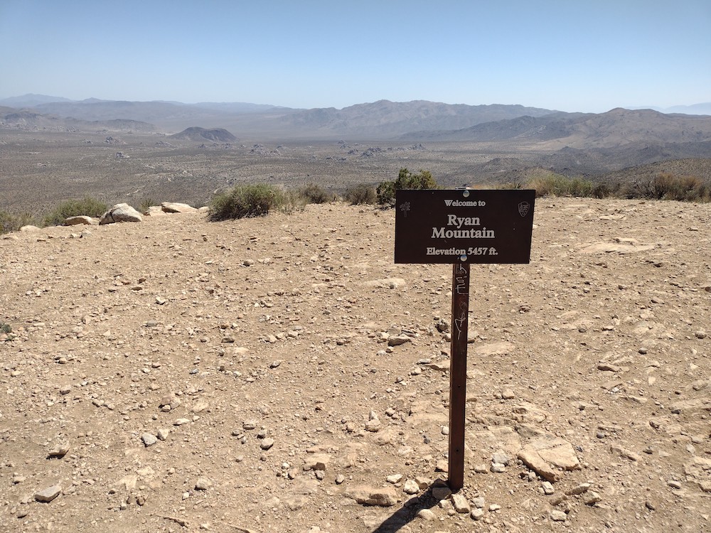
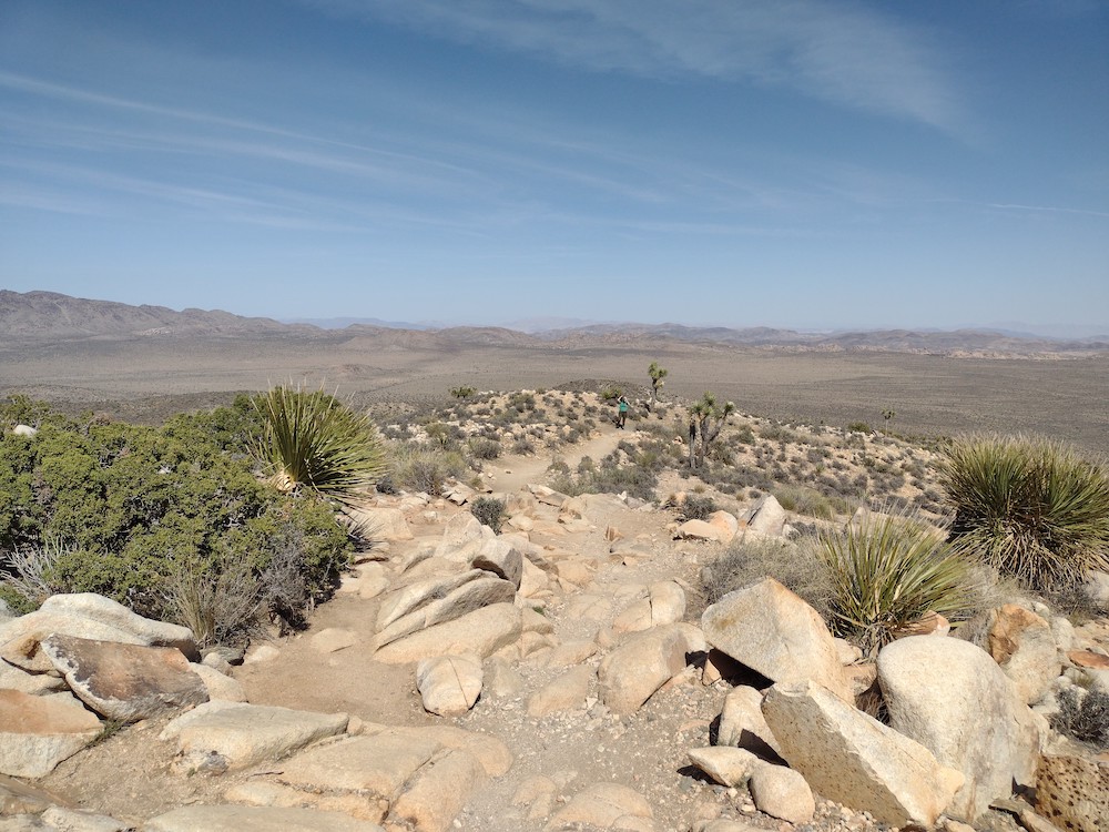
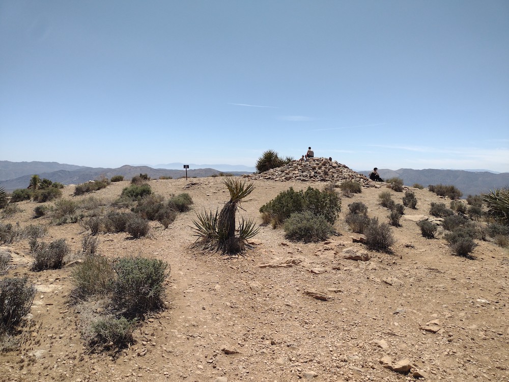
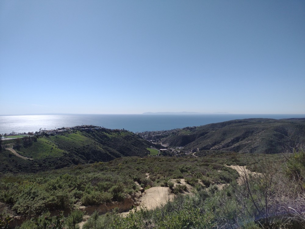
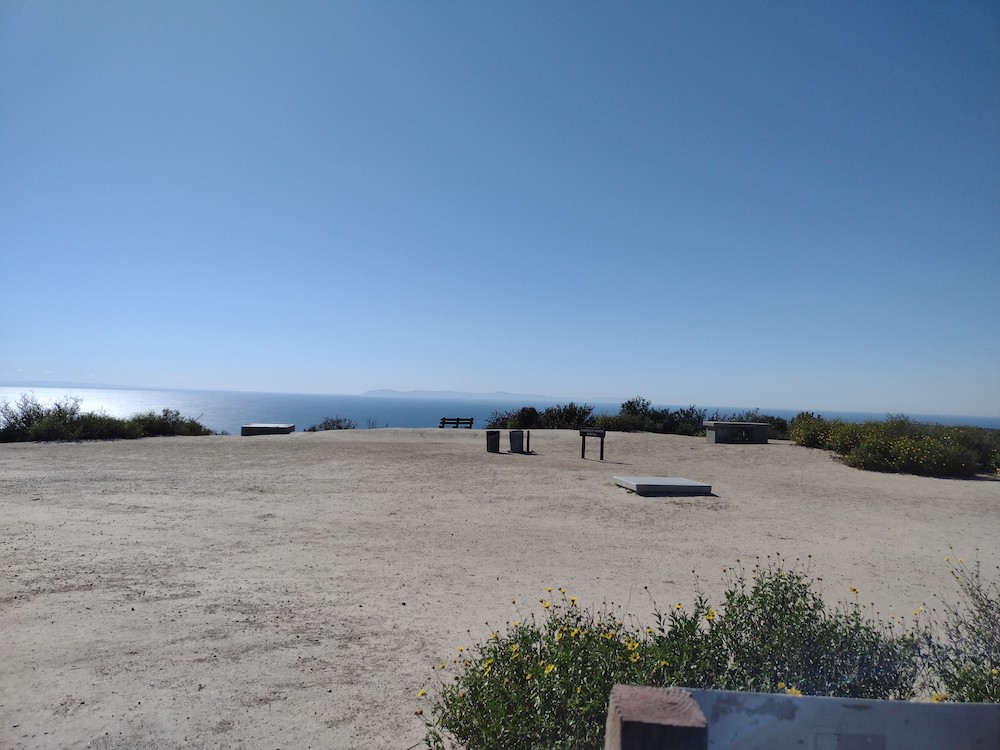
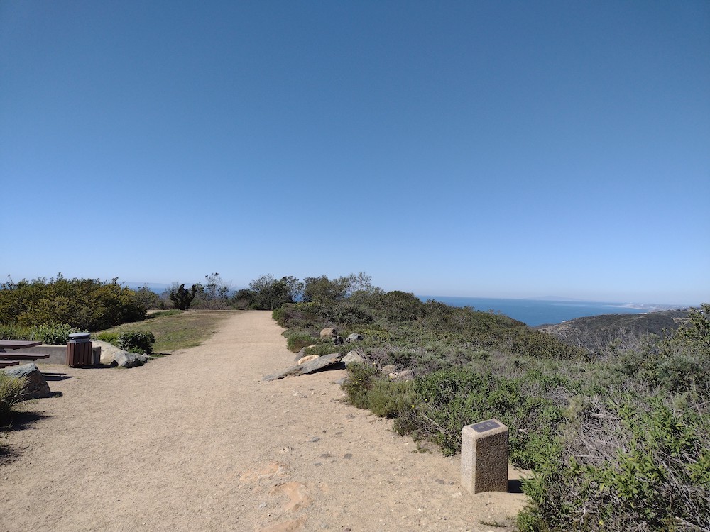
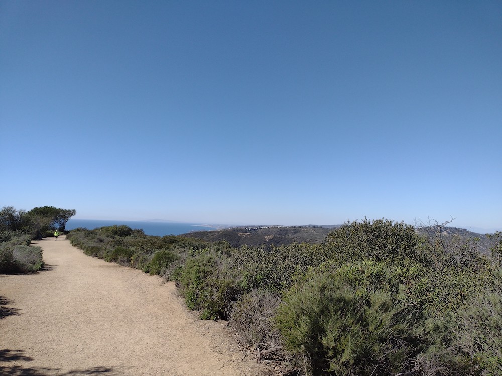
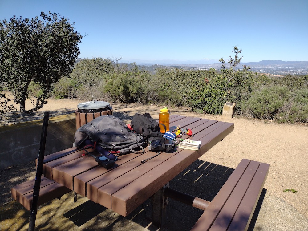
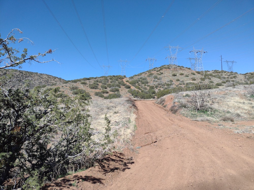
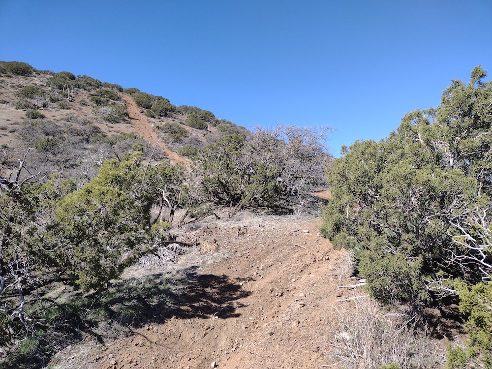
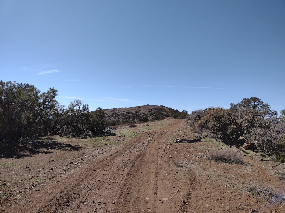
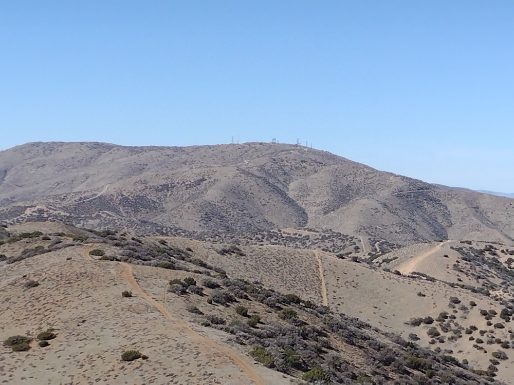
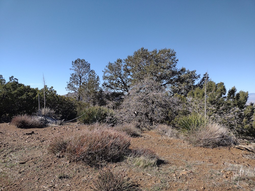
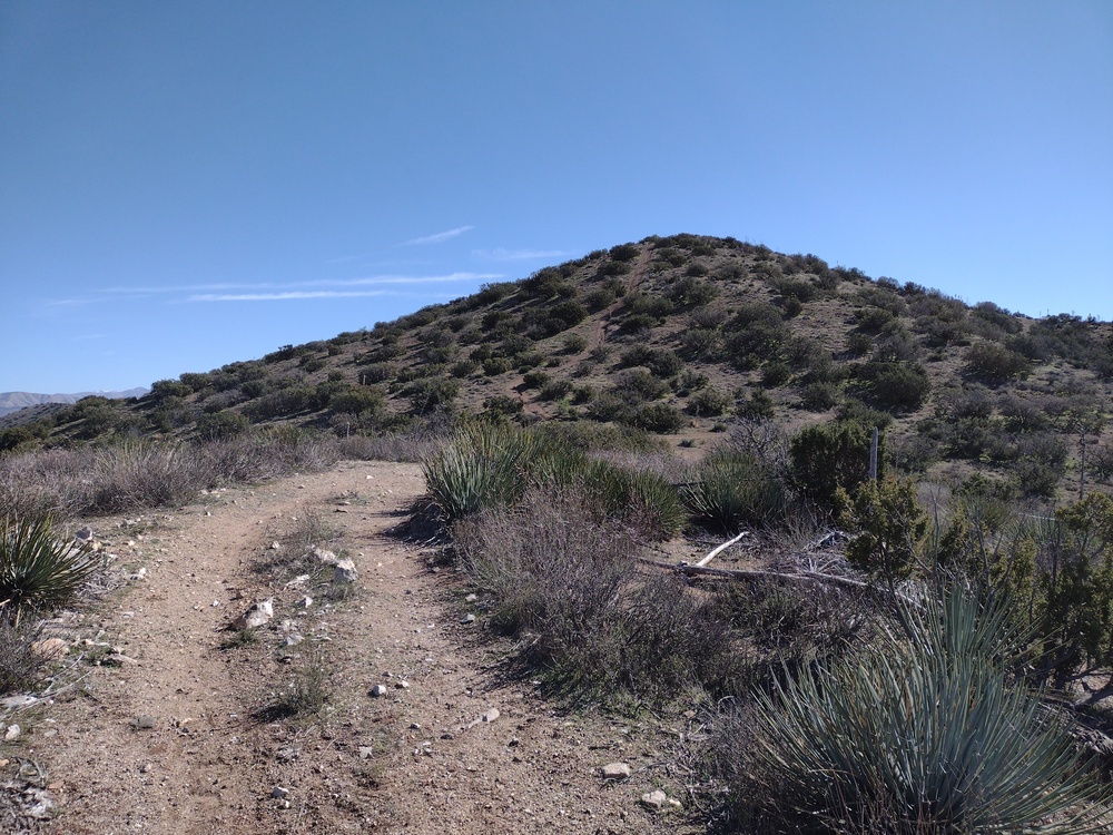
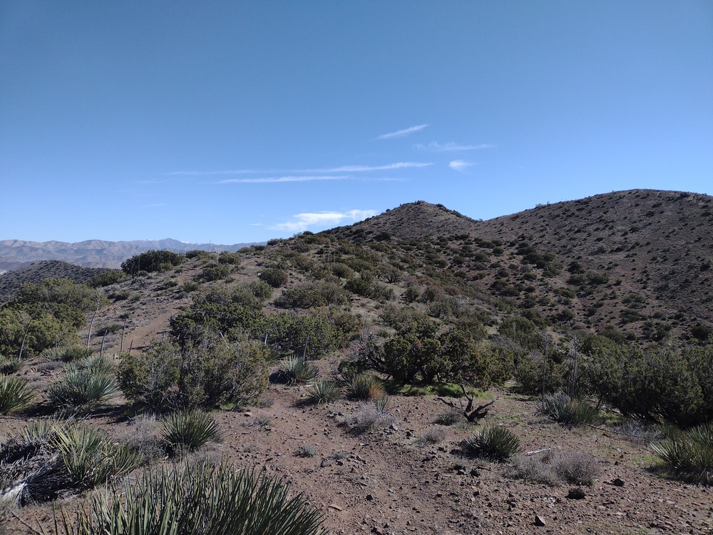
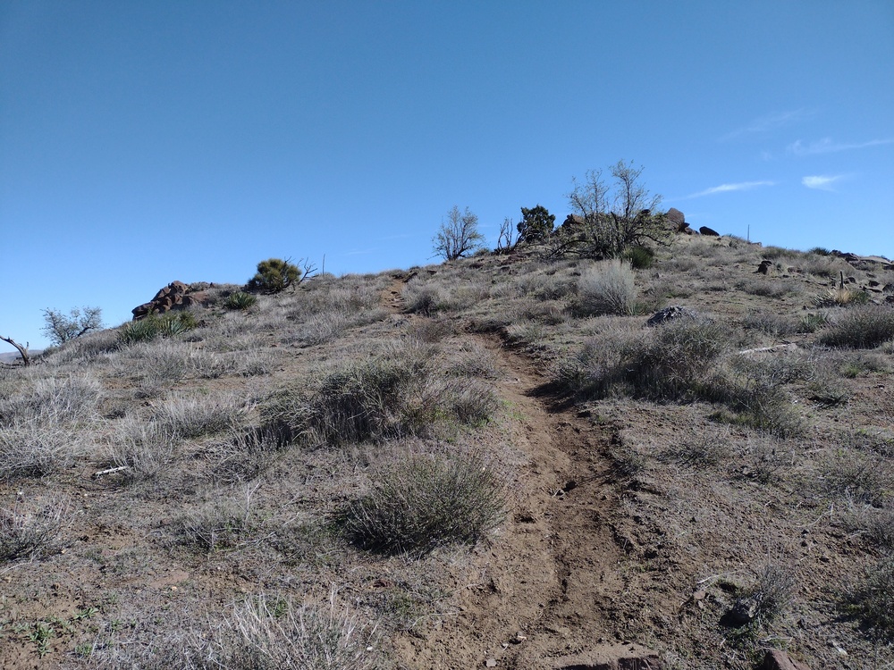
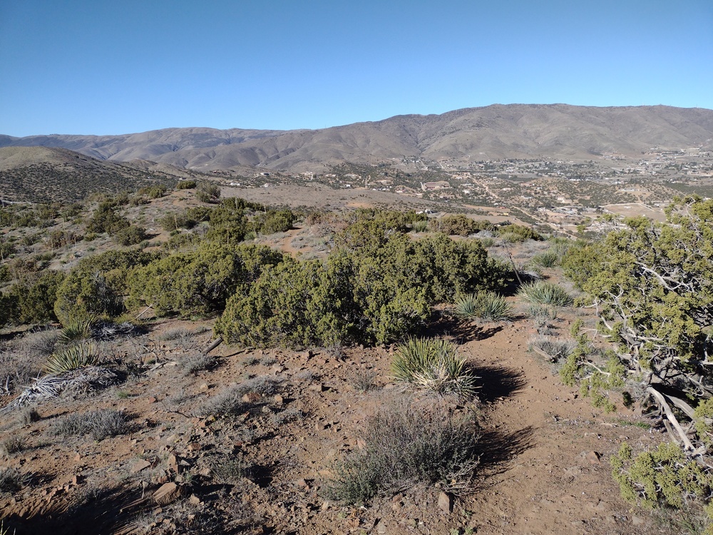
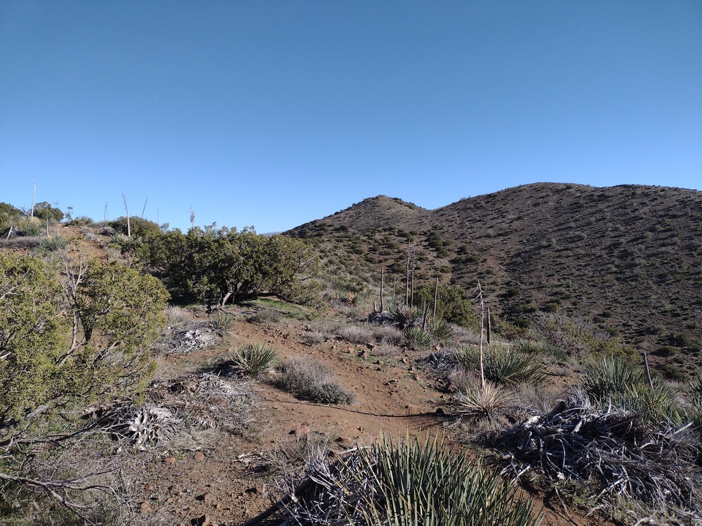
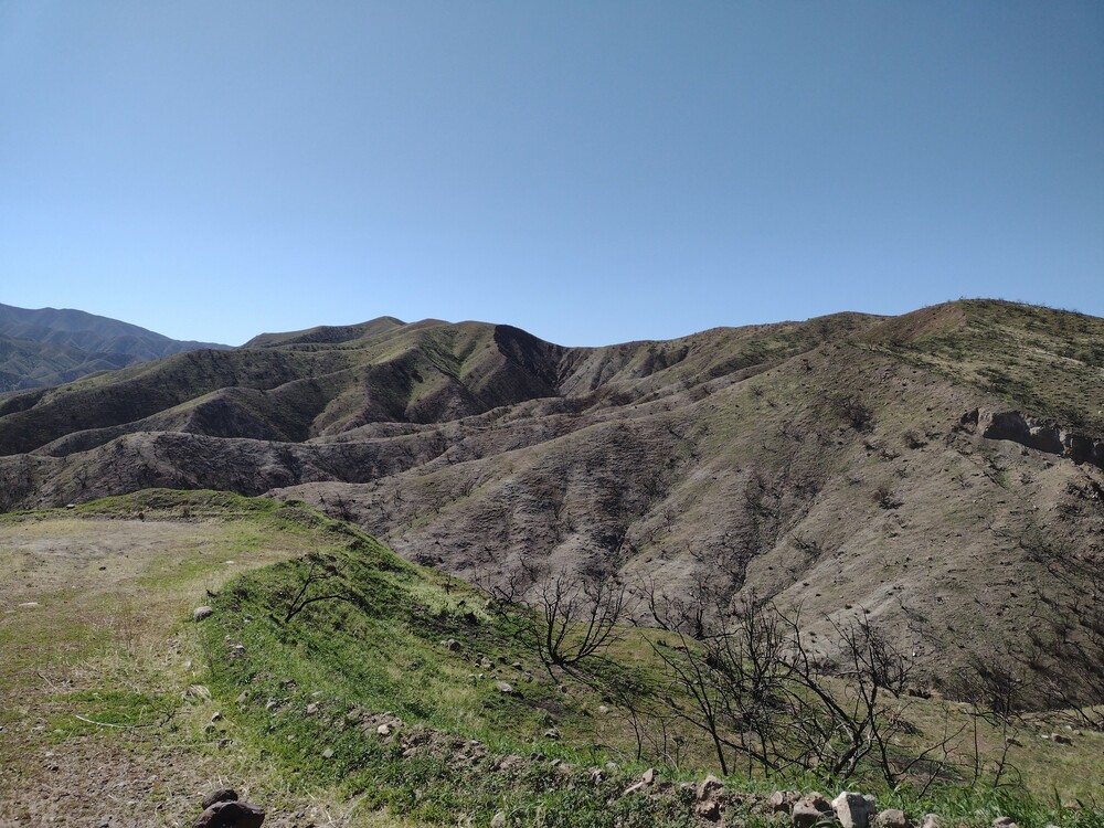
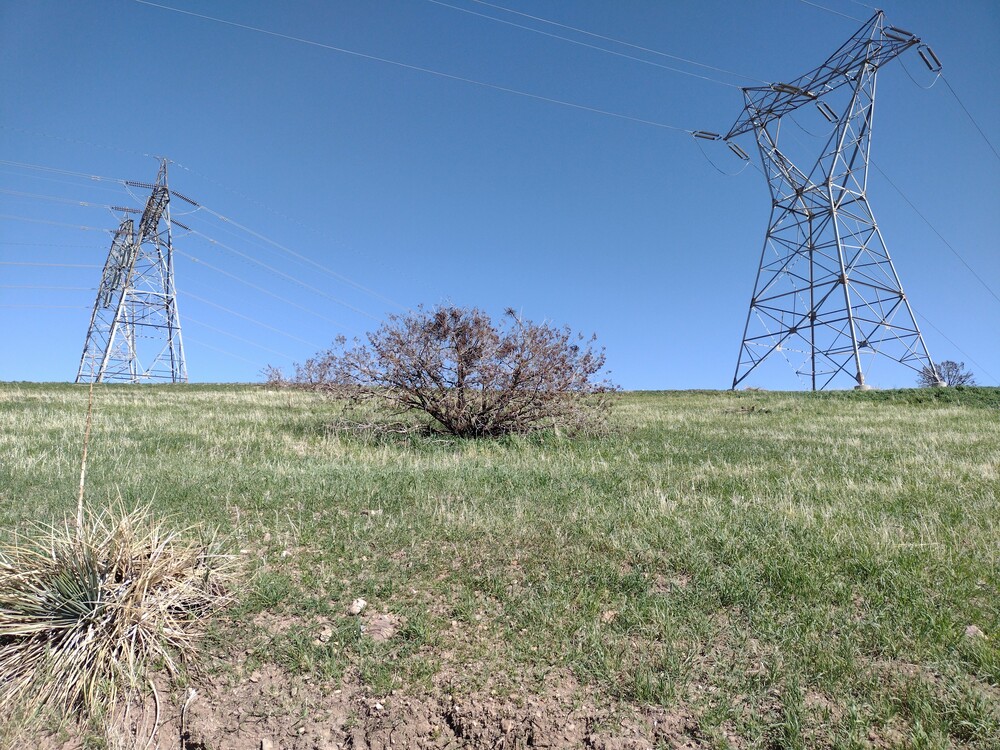
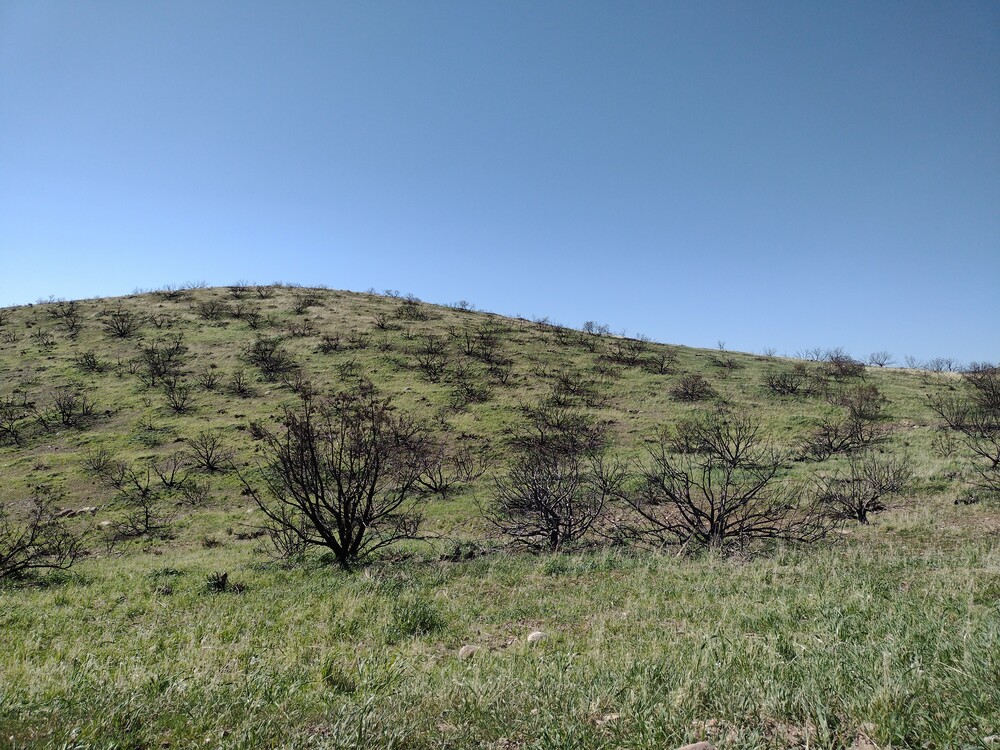
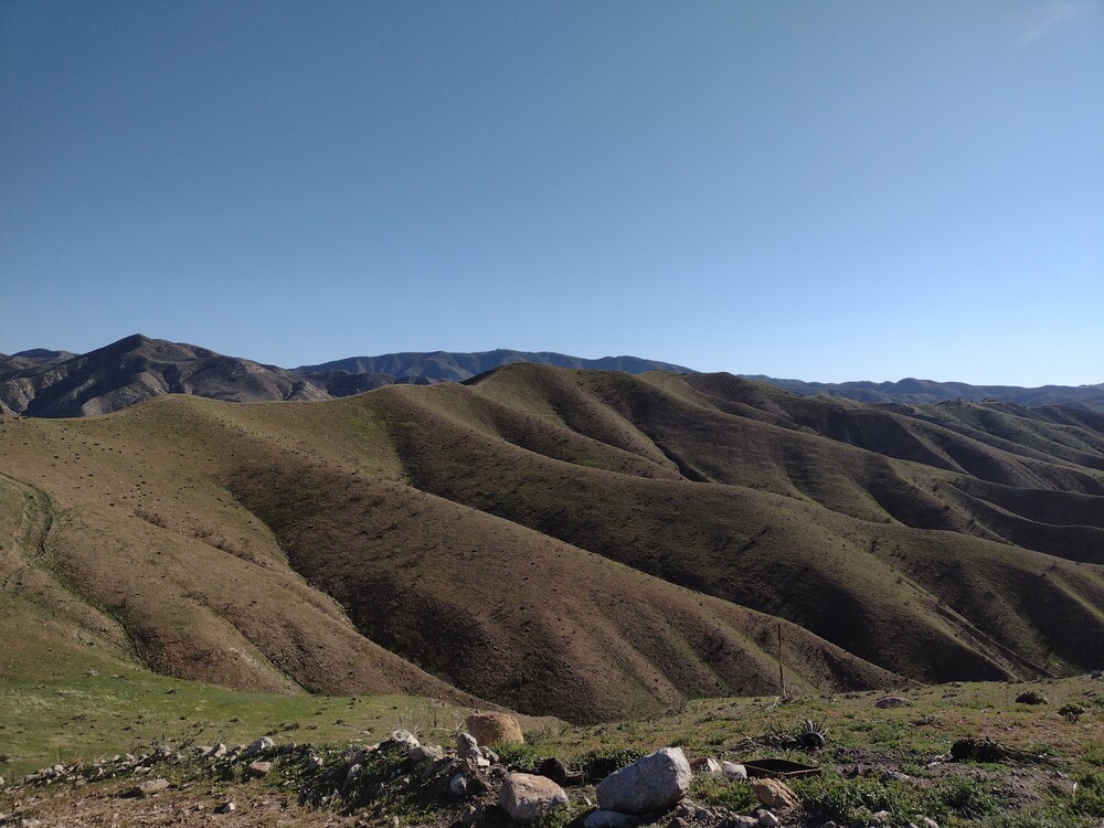
This was the last summit of four I activated on a solo camping trip in Lone Pine, and my third climb of the day. At this point, the temperature was quite warm, and the wind was starting to get a bit unruly. I parked the car right off Movie Road and started hiking up to the summit. Once there I used the EFHW, which was tough to wrangle in the wind. The golf umbrella I used for shade was useless in these conditions. Worked 20,30, 40M CW and got back down to the car as quickly as I could.
https://sotl.as/summits/W6/IN-048
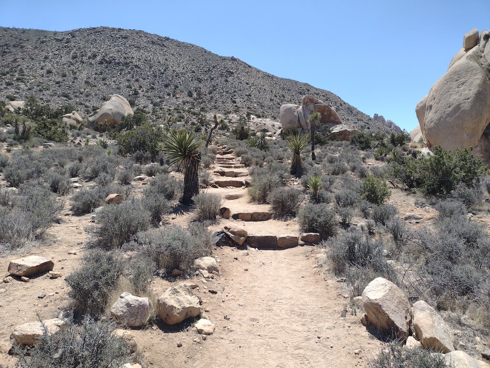
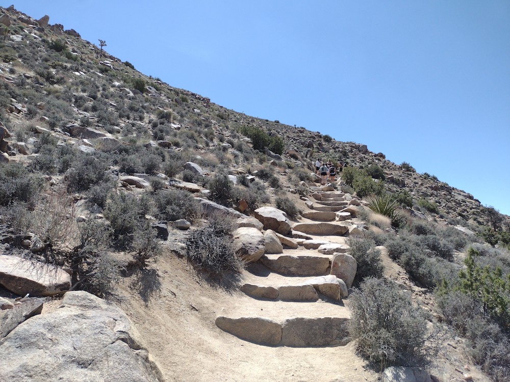
Total distance: 1.2 mi
Total climbing: 863 ft
Download file: W6IN048.gpx
Total climbing: 863 ft
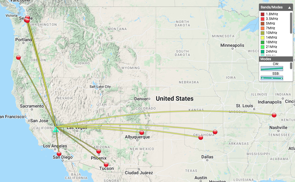
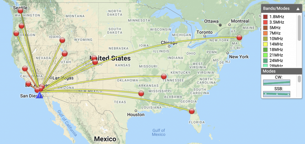
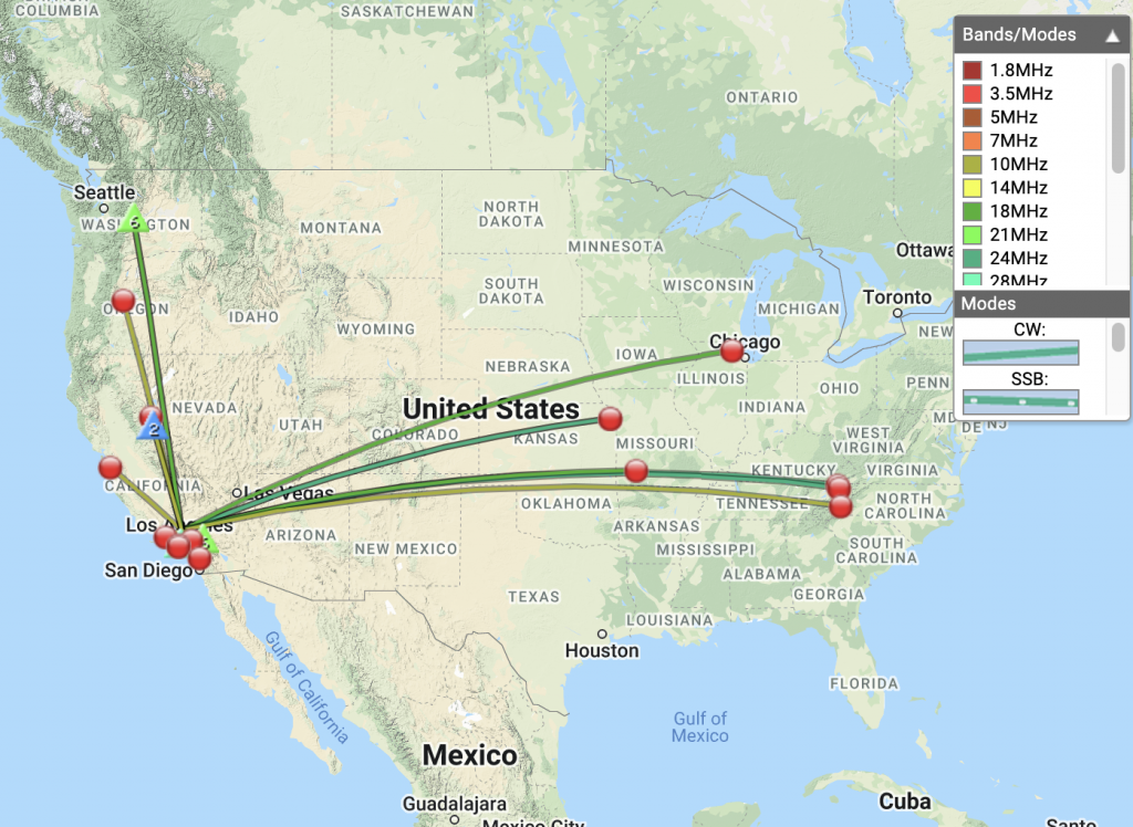
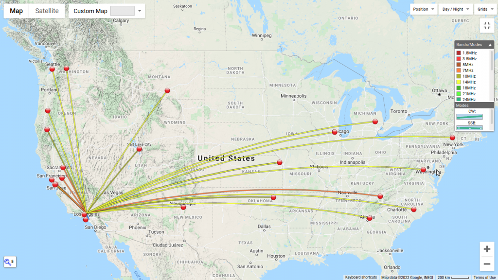
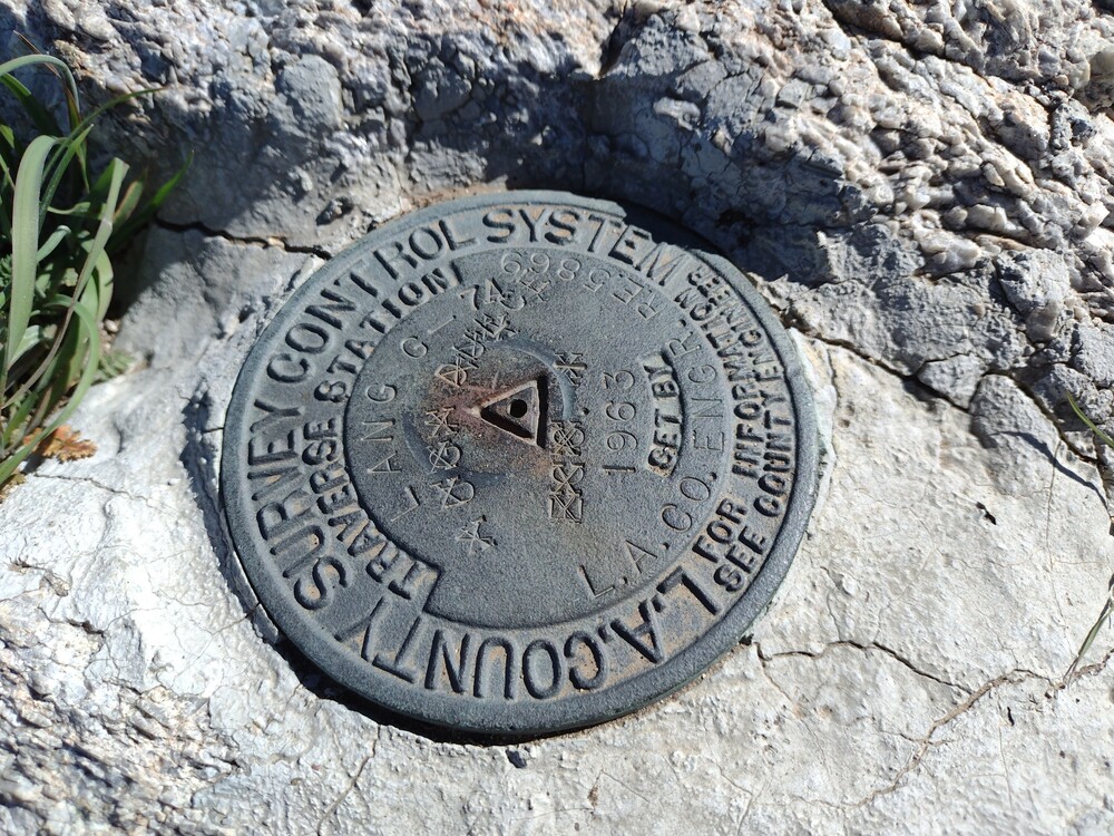
Date:08/04/2022 | Summit:W6/IN-048 (5213)
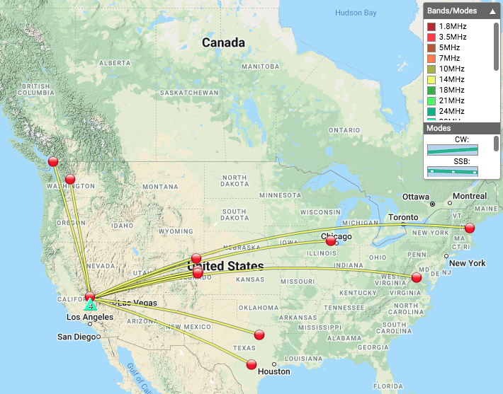
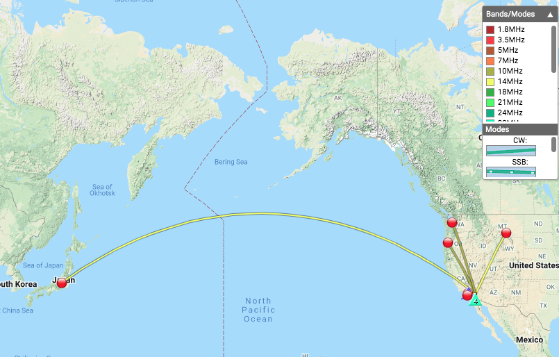
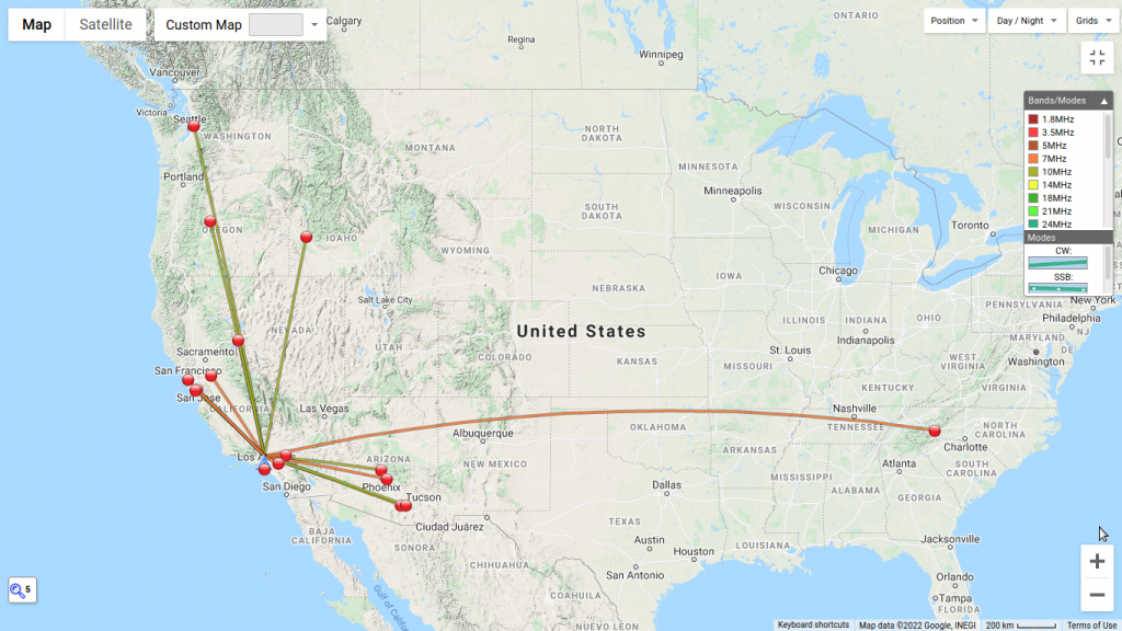
| Time | Callsign | Band | Mode | Notes |
|---|---|---|---|---|
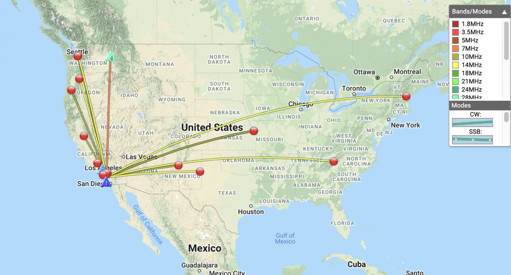
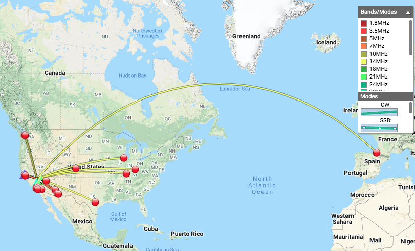
| 20:42 | N8FN | 7MHz | CW | S58N R55N |
| 20:43 | N6TEM | 7MHz | CW | S54N R52N |
| 20:44 | KR7RK | 7MHz | CW | S55N R33N |
| 20:44 | K6LDQ | 7MHz | CW | S58N R52N |
| 20:46 | W7CBR | 7MHz | CW | S52N R599 |
| 20:47 | K6EL | 7MHz | CW | S52N R55N S2S W6/NC-423 |
| 20:47 | NS7P | 7MHz | CW | S589 R54N |
| 20:49 | AJ6KZ | 7MHz | CW | S58N R54N S2S W6/CT-015 |
| 20:51 | K6TUY | 7MHz | CW | S579 R56N |
| 20:52 | W7SKH | 7MHz | CW | S559 R599 |
| 20:54 | N6PKT | 7MHz | CW | S42N R52N |
| 20:56 | K6QCB | 7MHz | CW | S53N R53N |
| 21:05 | WA6LE | 10MHz | CW | S559 R58N S2S W6/ND-144 |
| 21:08 | KN6FNY | 10MHz | CW | S58N R55N |
| 21:10 | WW7D | 10MHz | CW | S52N R33N |
| 21:11 | WU7H | 10MHz | CW | S42N R22N |
| 21:13 | AG6ZE | 10MHz | CW | S57N R55N |
| 21:14 | AI6QZ | 10MHz | CW | S57N R55N |
| 21:20 | KE6IWM | 144MHz | FM | S59 R59 |
| 21:26 | F4WBN | 14MHz | CW | S44N R599 |
| 21:28 | AC7P | 14MHz | CW | S52N R44N |
| 21:29 | WA2USA | 14MHz | CW | S529 R459 |
| 21:30 | N0IPA | 14MHz | CW | S44N R42N |
| 21:31 | KF9D | 14MHz | CW | S52N R52N |
| 21:33 | W9VNE | 14MHz | CW | S42N R44N |
| 21:36 | N5JST | 14MHz | CW | S42N R55N |
| 21:38 | AI5EZ | 14MHz | CW | S53N R55N |
| 21:40 | N7ZQ | 14MHz | CW | S53N R55N |