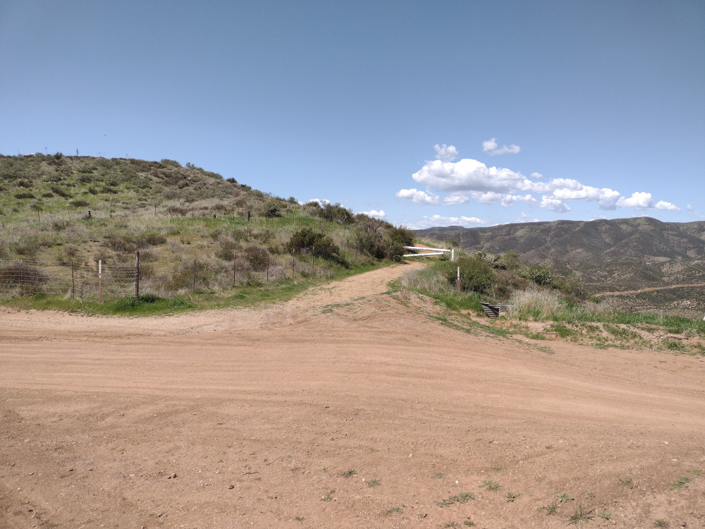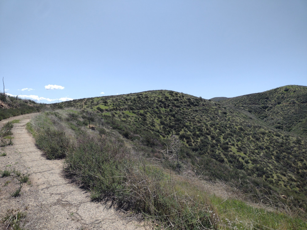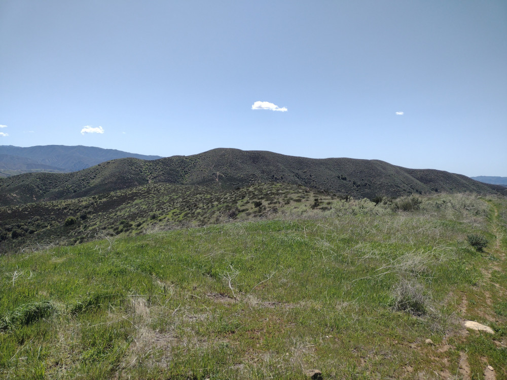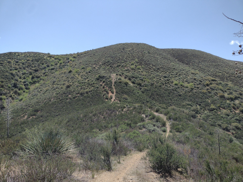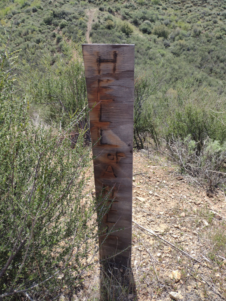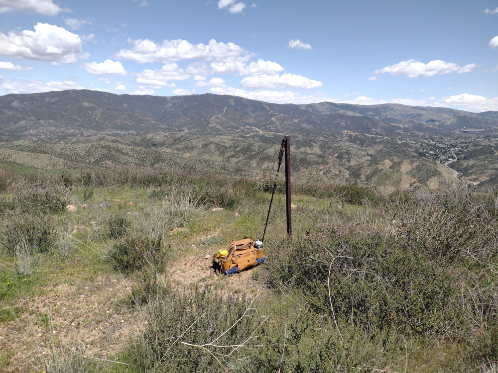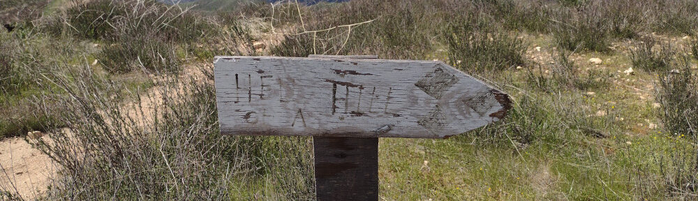
I’ve overlooked this summit for years because it was rarely activated and only worth two points. I got skunked twice on two earlier SOTA attempts due to closed roads. Frustrated, I pulled over to the side of the road and found the closest summit to me. That was Burn Benchmark. After some quick research, I headed into the OHV area, parked where other vehicles were parked and headed down the well used trail. I did not see any no trespassing signs anywhere along my route. The hike was mostly enjoyable, however it was very windy. About 2/3rds of the way there you see a very steep mountain; a small makeshift sign read “Hell Hill”. I’m assuming a dirt biker put it there as, there was evidence of dirt bikes in the area. As a guy who rides, I have no idea how you could wrangle a bike up something like this. Perhaps they went down? Their efforts left permanent scars on the hillside. Bummer.
https://sotl.as/summits/W6/CT-271
Total climbing: 1048 ft
Date:04/04/2025 | Summit:W6/CT-271 (Burn Benchmark)
| Time | Callsign | Band | Mode | Notes |
|---|---|---|---|---|
| 20:14 | KT5X | 14MHz | CW | S58N R22N |
| 20:17 | AJ6KZ | 14MHz | CW | S2S W6/CT-116 S599 R53N |
| 20:19 | WW7D | 14MHz | CW | S2S W7W/KG-137 S33N R41N |
| 20:20 | K6HPX | 14MHz | CW | S58N R53N |
| 20:21 | W0KDM | 14MHz | CW | S56N R33N |
| 20:22 | N0RZ | 14MHz | CW | S44N R55N |
| 20:23 | N6ET | 14MHz | CW | S55N R53N |