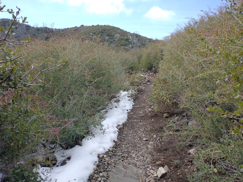
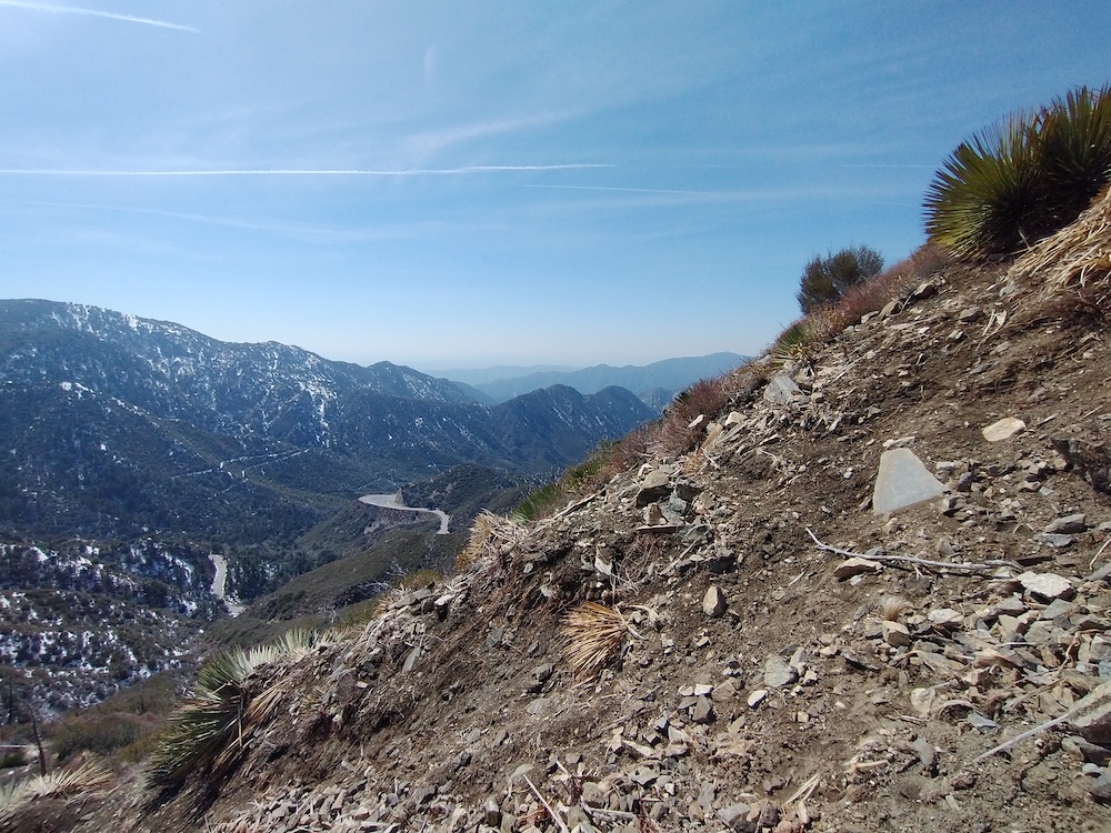
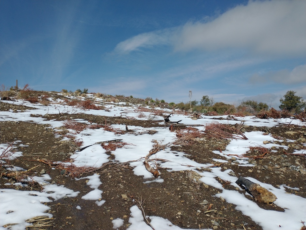
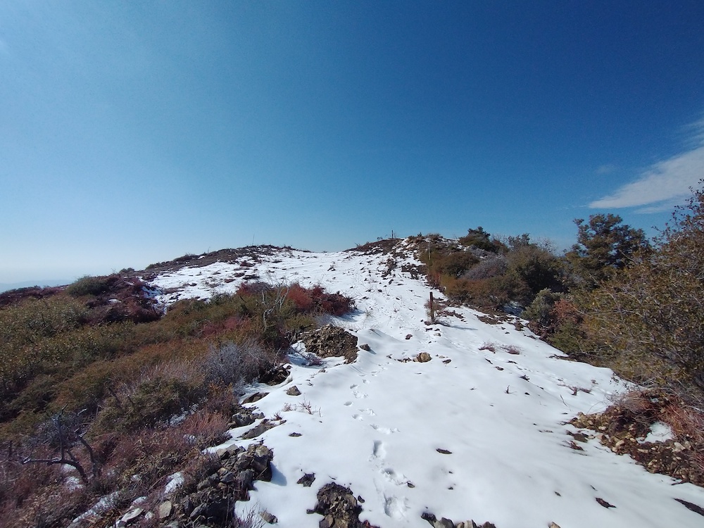
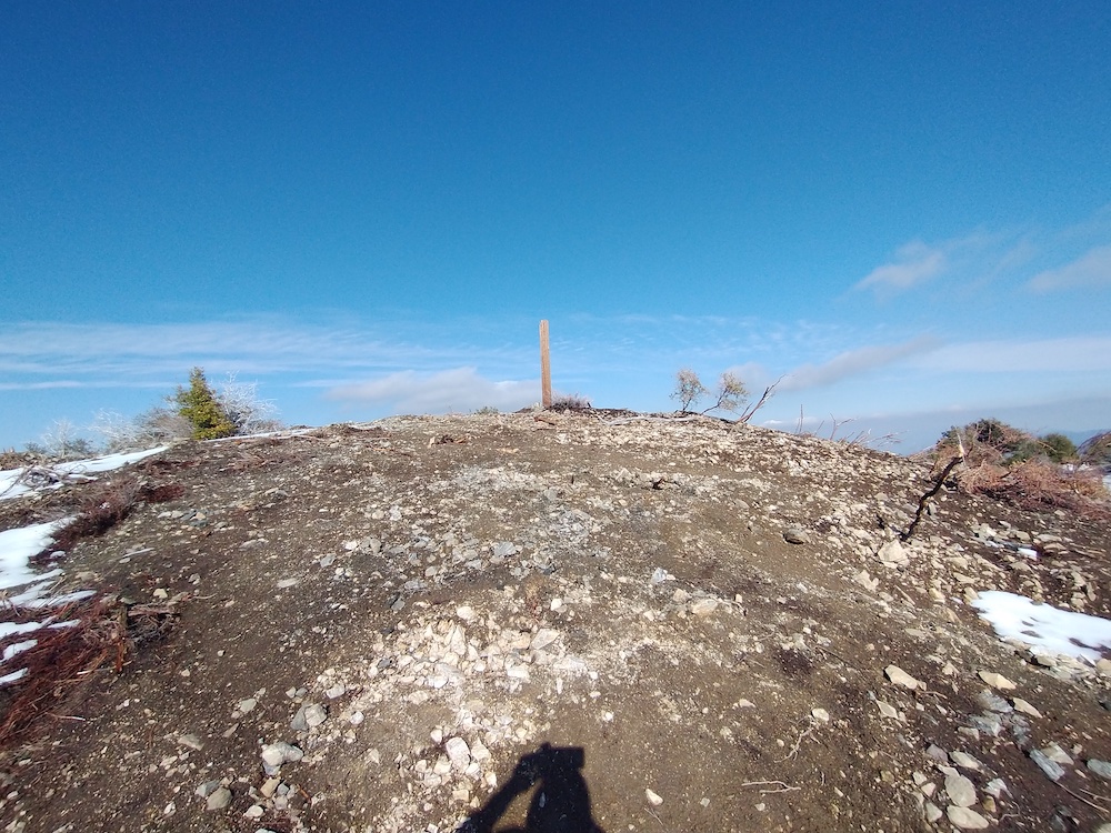
This was my second activation of Mt. Lawlor. The first time I didn’t take any photos/ video and I wish I had, because the summit and firebreak has been cleared. Tracks from a large machine can be seen at the top; I have no idea how they got it up there. Helicopter? You can get up to Lawlor several ways – I parked at Red Box Picnic area and hiked to the firebreak, then, straight up to the summit. You can bypass the insanely steep hike by going around to Strawberry Saddle and hiking the ridge up, which requires a bit of scrambling over rocks. Worked 20M, 40M SSB, and 2M AM (yes, AM). Brought a new (to me) HT which added 23cm to my quiver of bands. Tried to QSO with K6LDQ on 23cm – he could hear me, but I couldn’t hear him. Maybe next time!
https://sotl.as/summits/W6/CT-089
Total climbing: 1492 ft
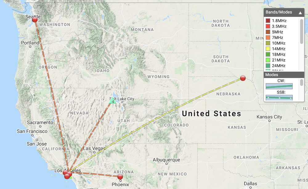
Date:16/03/2021 | Summit:W6/CT-089 (Mount Lawlor)
| Time | Callsign | Band | Mode | Notes |
|---|---|---|---|---|
| 22:01 | K6LDQ | 14MHz | SSB | 59 57 |
| 22:03 | AE0XI | 14MHz | SSB | 55 57 |
| 22:05 | KC6ESW | 14MHz | SSB | 58 58 (QRP) |
| 22:06 | W3TCU | 14MHz | SSB | 55 55 |
| 22:07 | KW4XK | 14MHz | SSB | 55 55 |
| 22:20 | KE6IGU | 7MHz | SSB | 59 55 |
| 22:21 | WY7N | 7MHz | SSB | 55 55 S2S W7U/TO-055 |
| 22:22 | KF6HI | 7MHz | SSB | 59 55 |
| 22:25 | WW7D | 7MHz | SSB | 58 32 |
| 22:58 | KN6DMO | 144MHz | AM | S8 S9 AM |
