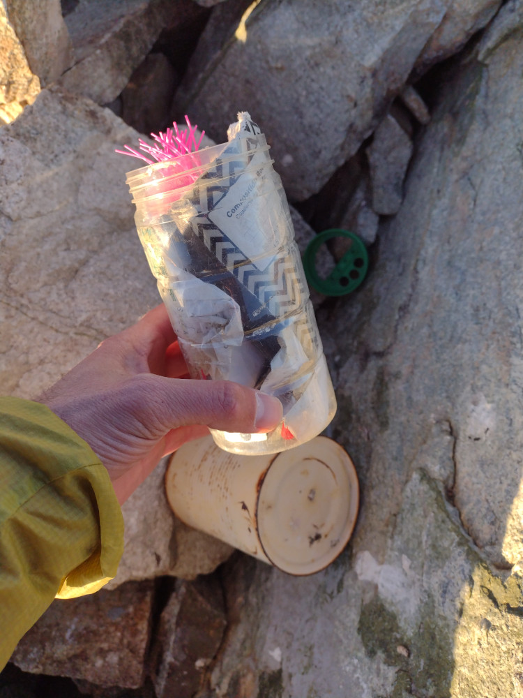
This was my 3th summit for 2025 So.Cal Winter SOTA Fest.
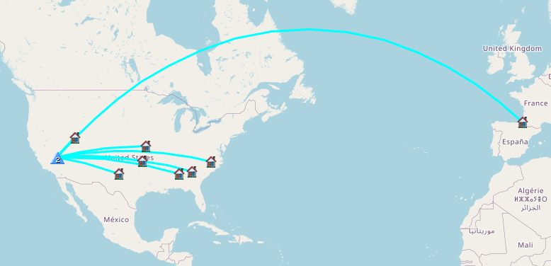
Summit 1-> https://blog.benmook.com/w6-sd-140-cougar-buttes/
Summit 2-> https://blog.benmook.com/w6-sd-145-3938/
Summit 3-> https://blog.benmook.com/w6-sd-018-rodman-mountains-hp/
Summit 4-> https://blog.benmook.com/w6-sd-218-watkins-benchmark/
Summit 5-> https://blog.benmook.com/w6-sd-040-west-ord-mountain/
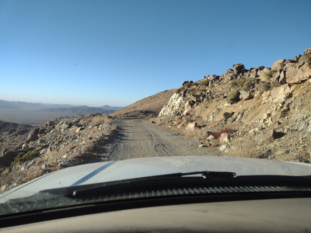
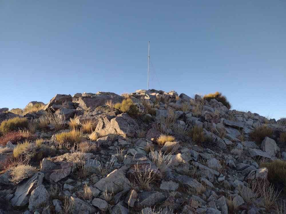
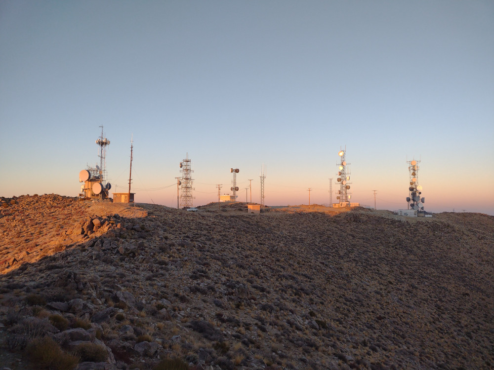
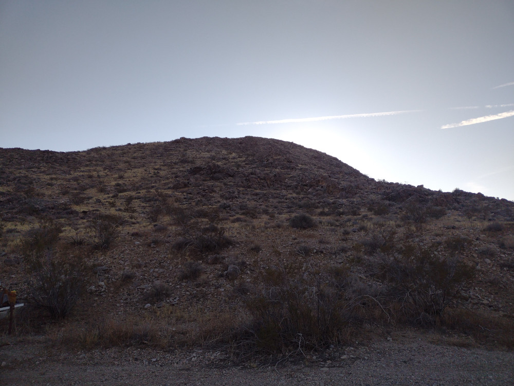
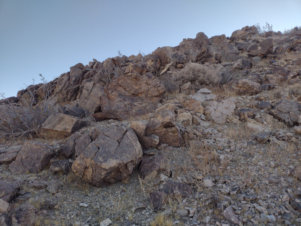
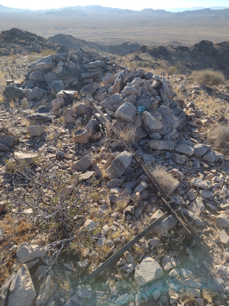
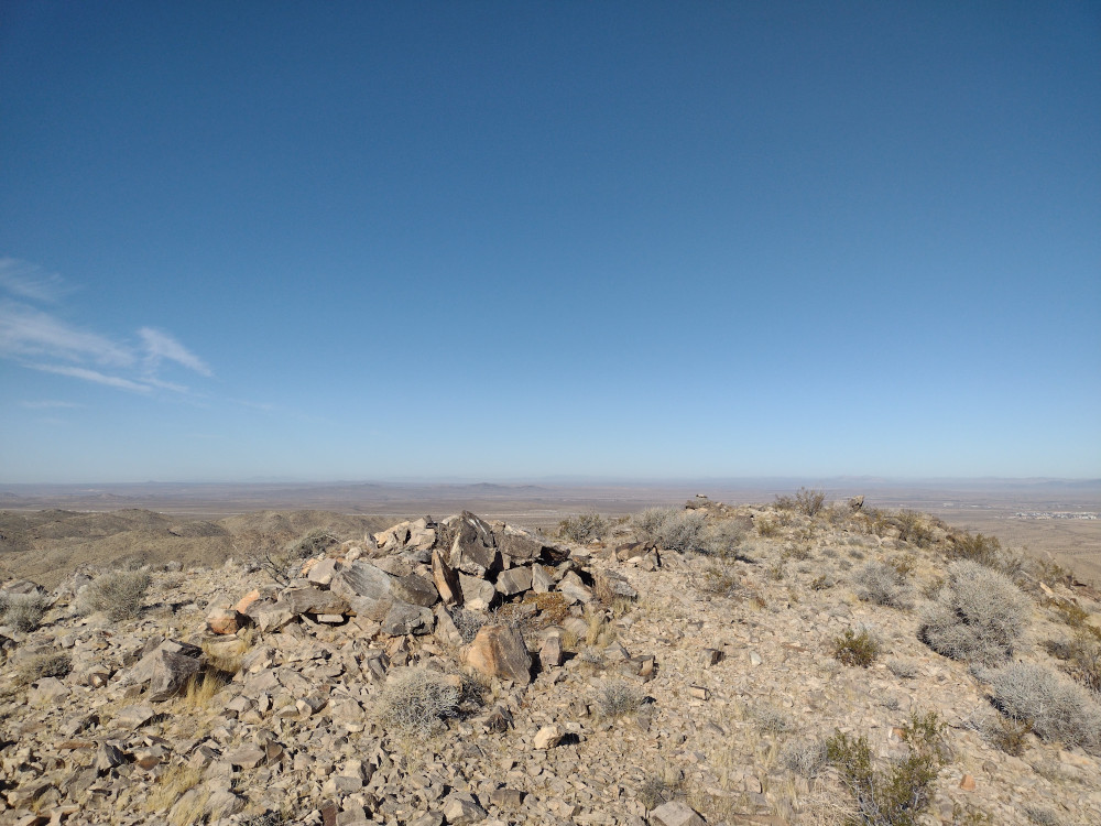
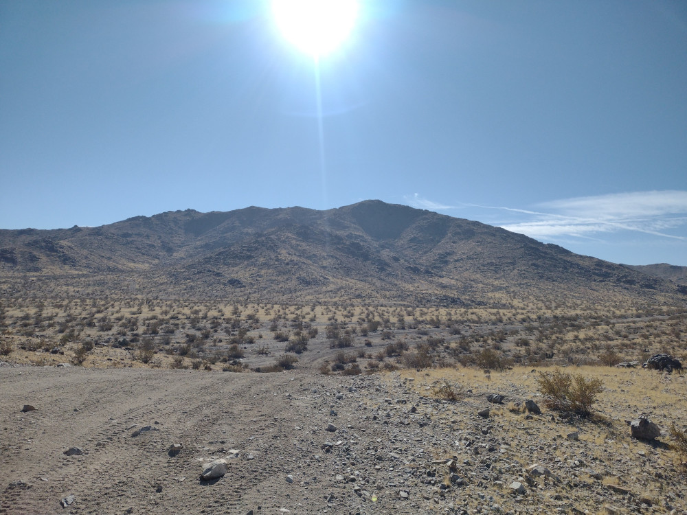
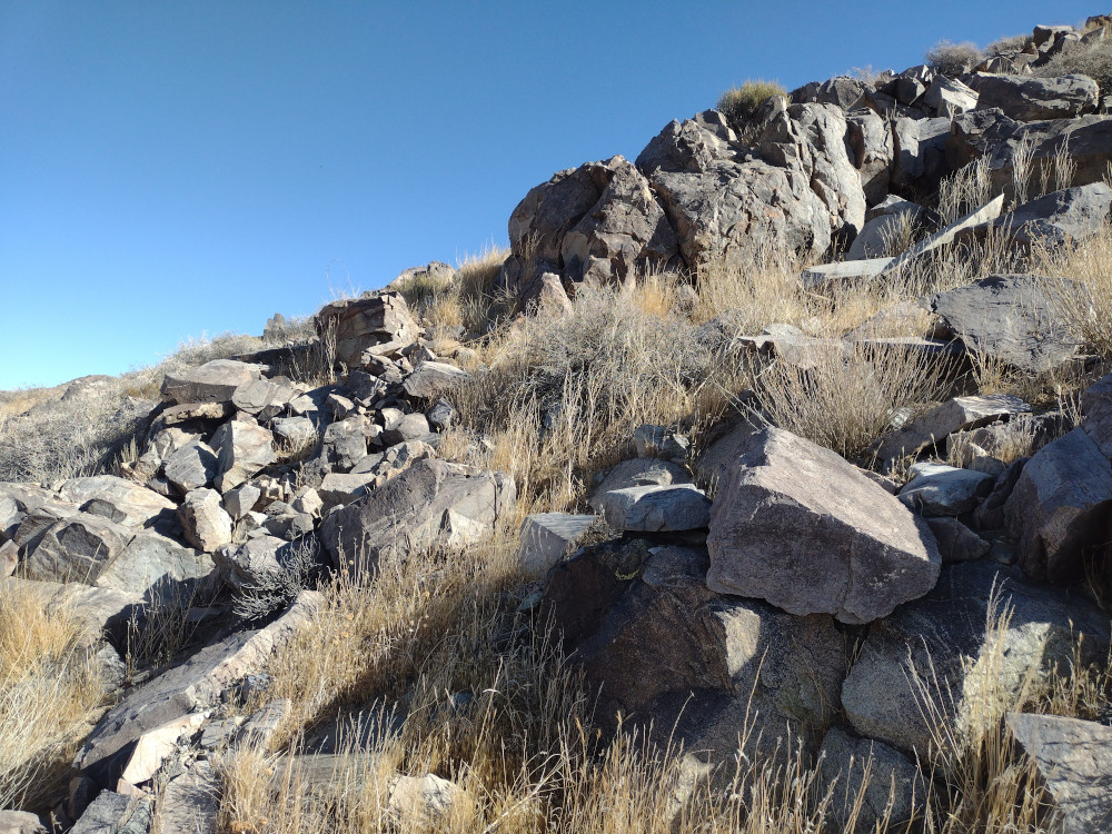
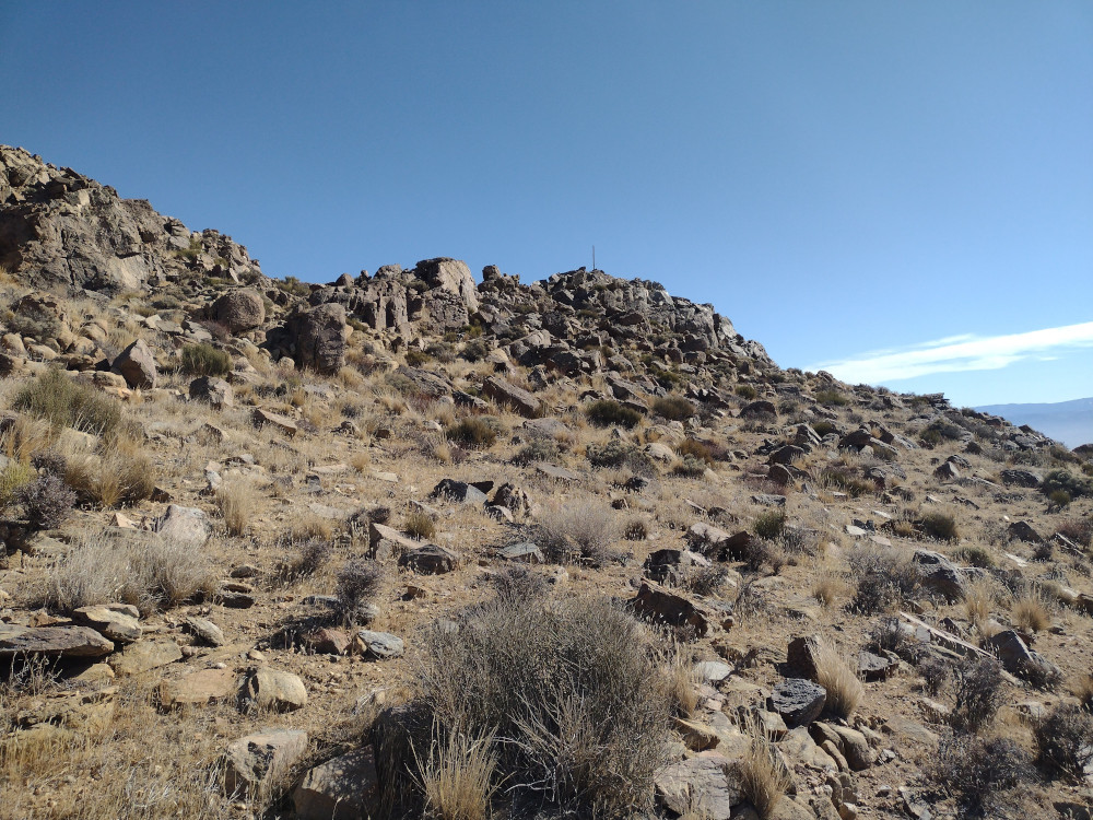
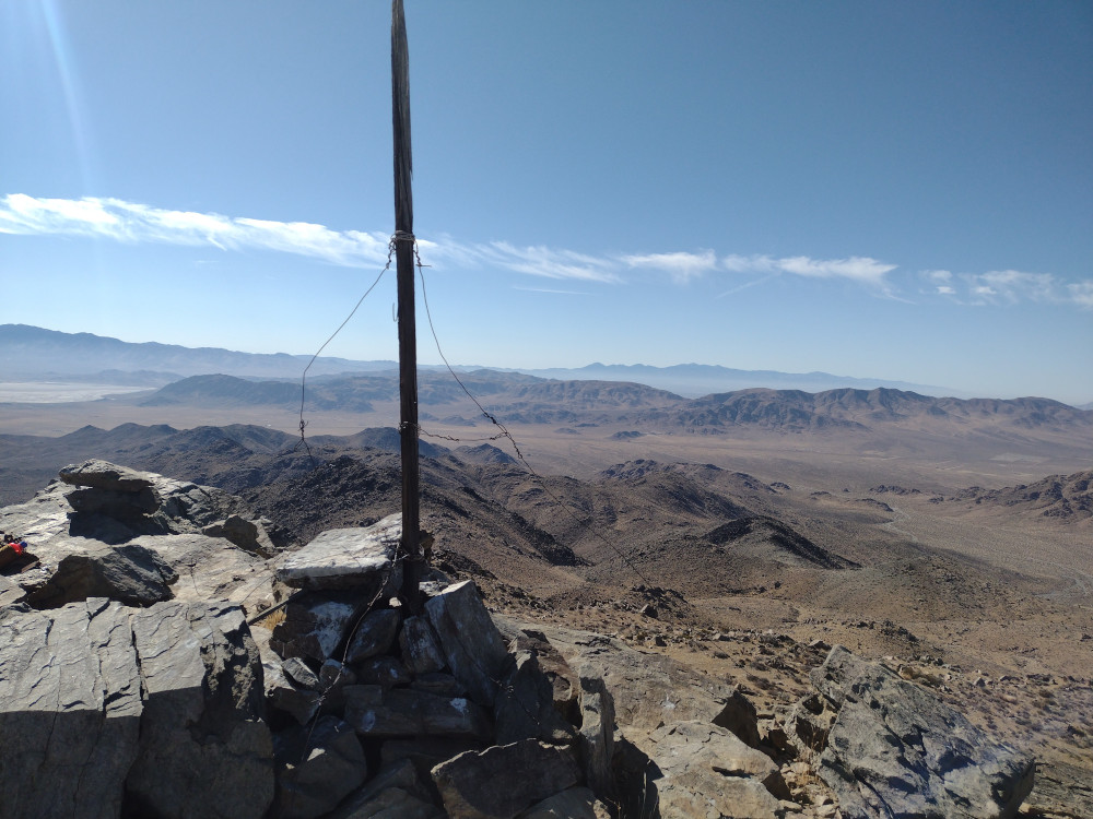
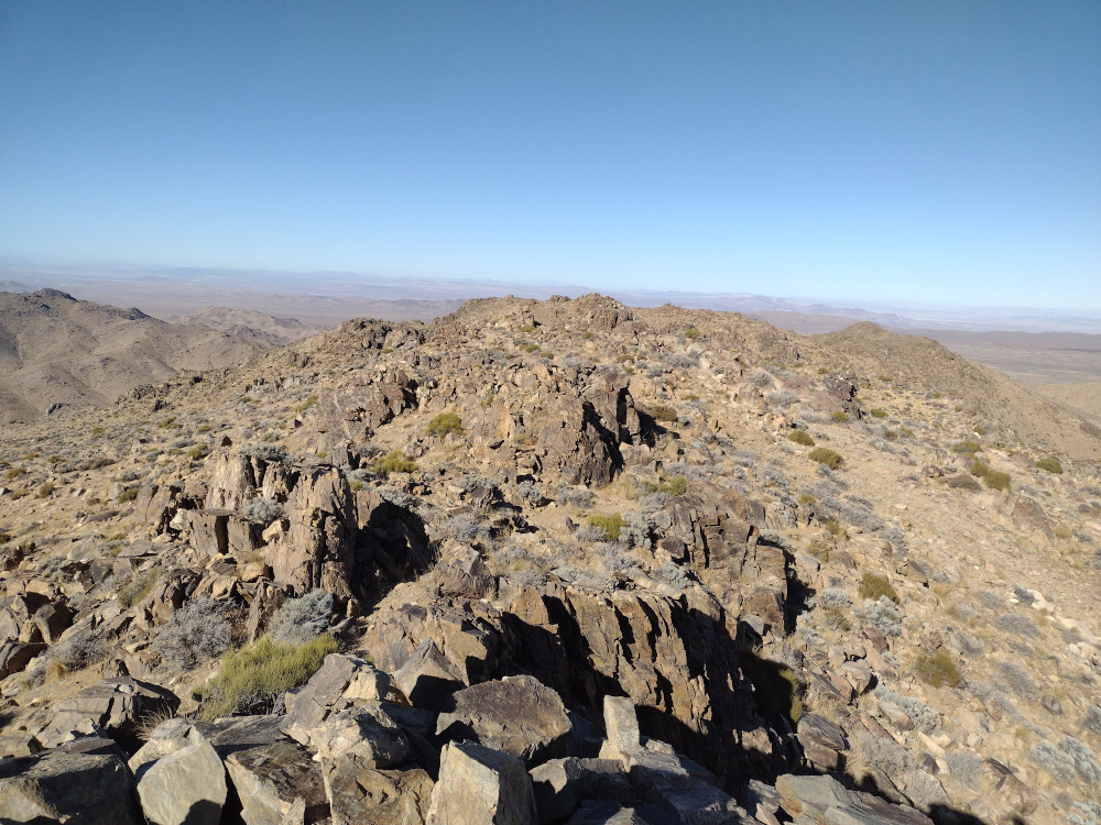
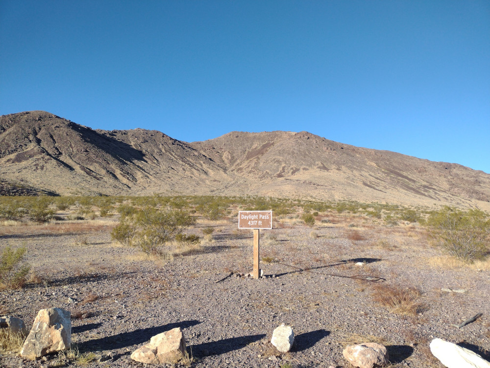
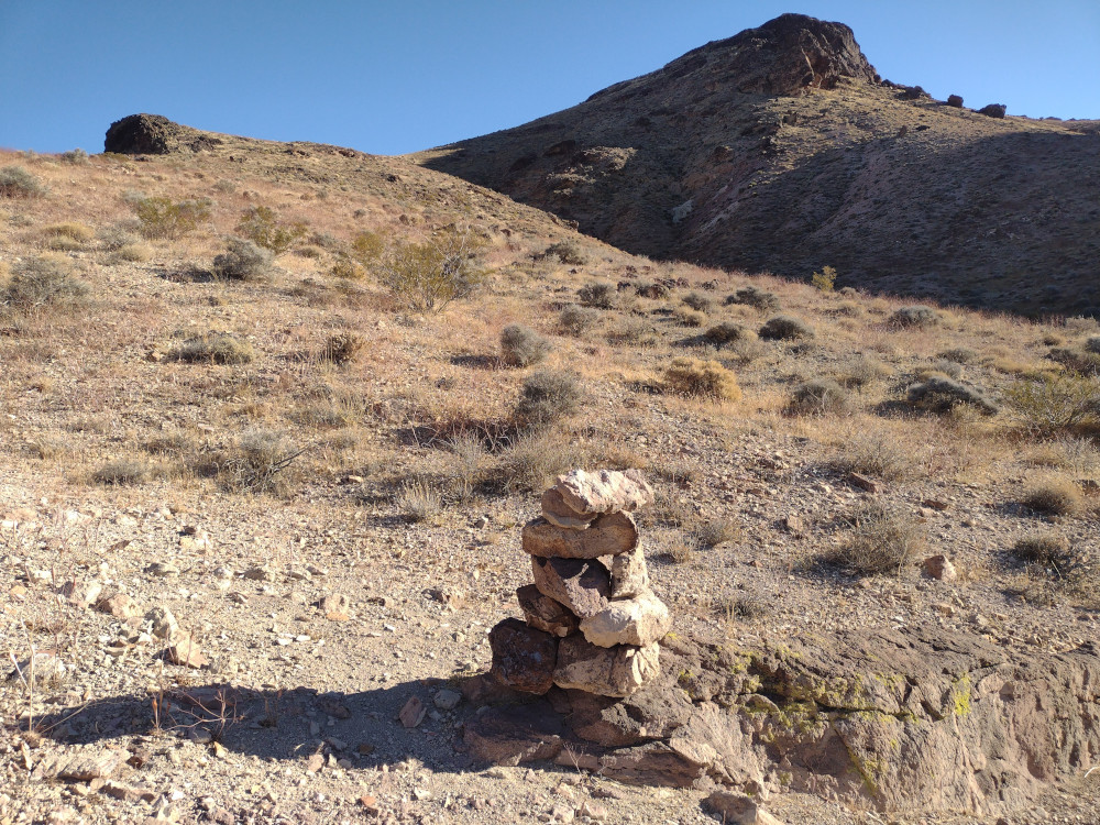
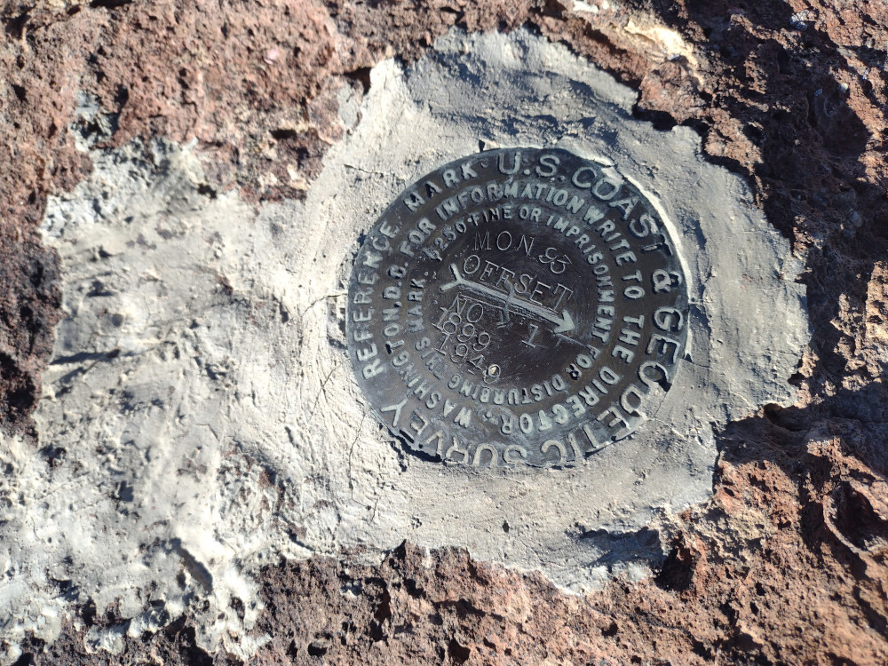
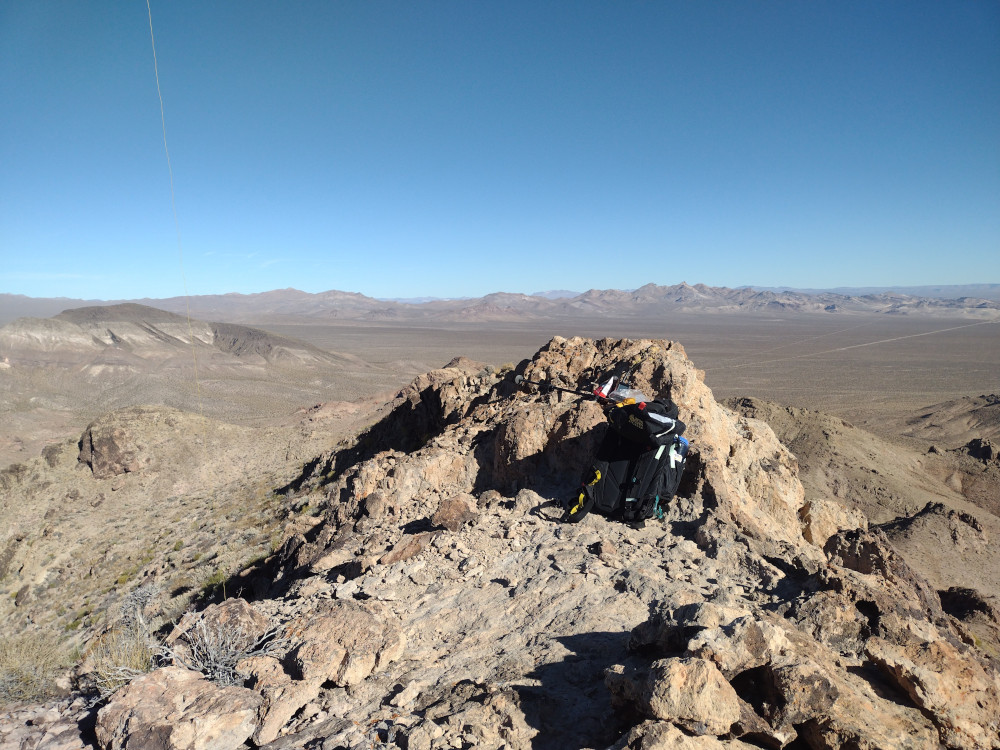
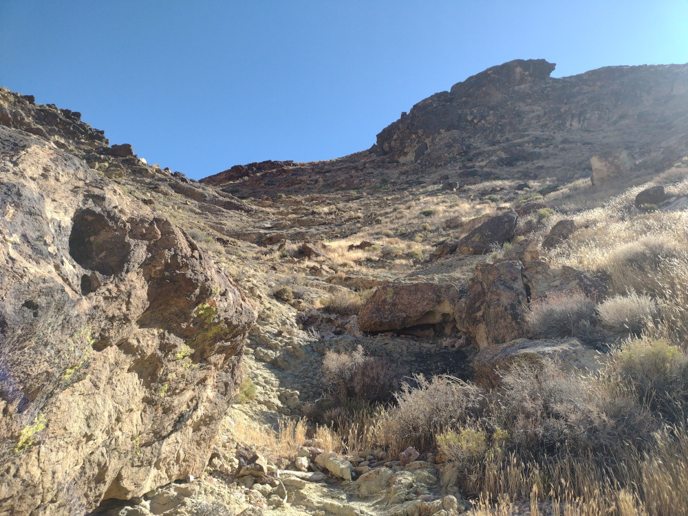
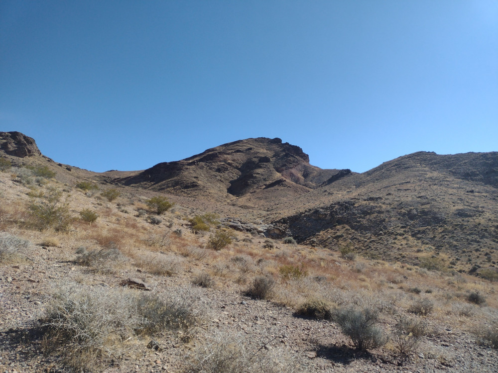
After activating Cougar Buttes and 3938 earlier in the day, I felt like I had enough daylight for one more activation before heading back to camp. Rodman Mountain is a drive up, and pretty far from pavement. Since I was already half way there from 3938, that’s where I headed. I jumped on Camp Rock Road which is mostly wide and smooth. Eventually you need to turn off on Pipkin Cindercone Road, then, to a narrow, somewhat steep and twisty road that terminates at a large communications site. I parked at the top where it was extremely windy and cold. Not wanting to leave the comfort of the cab, but with the summit in sight I layered up and headed to the top, which isn’t very far at all. Once there I was able to tuck behind some rocks which made the rest of the activation quite enjoyable. Worked 15M and 20M on the KH1 whip. Barely made one 2M contact with Mike who was heading to Sawtooth Campground. Someone out there was running a repeater or something on 146.580 because I kept hearing a tone every time I released my PTT. Someone then came on frequency and said I should move. They wouldn’t give me their call, perhaps they didn’t have one.
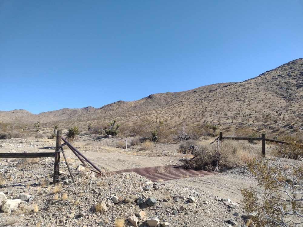
I headed down the way I came up. It was almost dark when I arrived at Pipkin Cindercone road, where I stopped and attached some cheap Amazon ditch lights to the truck I bought months prior. I had never bolted these on before, so it took some time to adjust them where I wanted extra light to shine. I continued on to the intersection of Camp Rock Road, but instead of going back the way I came, I left at the intersection because it looked like it would be faster on the map. This was not the case. The road was extremely slow going, rocky and narrow in some places. At one point I saw a large critter run across my path into the desert. Because the ditch lights I could clearly see a bobcat! This was the highlight of my day. It took an hour and a half to get back to Sawtooth Campground to meet other SOTA activators. When I had enough of the cold, I headed to Barstow for the night.
https://sotl.as/summits/W6/SD-018
Total climbing: 114 ft
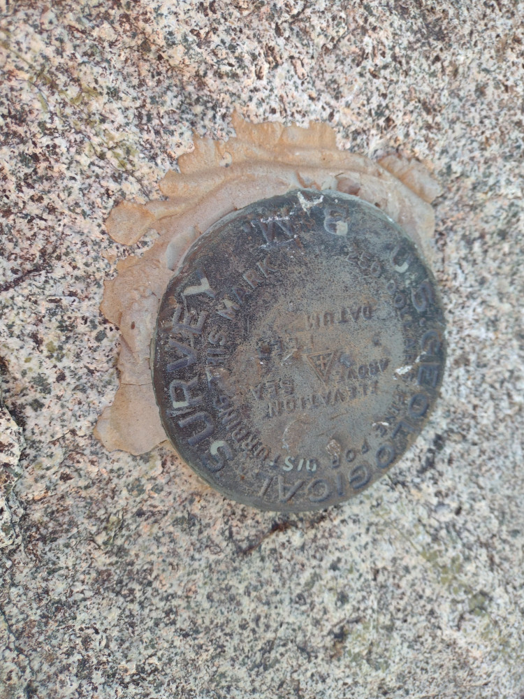
Date:18/01/2025 | Summit:W6/SD-018 (Rodman Mountains (HP))
| Time | Callsign | Band | Mode | Notes |
|---|---|---|---|---|
| 00:25 | WU7H | 21MHz | CW | S58N R53N |
| 00:26 | JG0AWE | 21MHz | CW | S51N R33N |
| 00:27 | WW7D | 21MHz | CW | S58N R55N |
| 00:28 | W5GDW | 21MHz | CW | S52N R54N |
| 00:31 | W4JKC | 21MHz | CW | S52N R55N |
| 00:36 | W5ODS | 14MHz | CW | S599 R53N |
| 00:40 | AF0E | 14MHz | CW | S52N R57N |
| 00:47 | K6STR | 144MHz | FM | S33 R22 |