W6/ND-224 – Government Peak

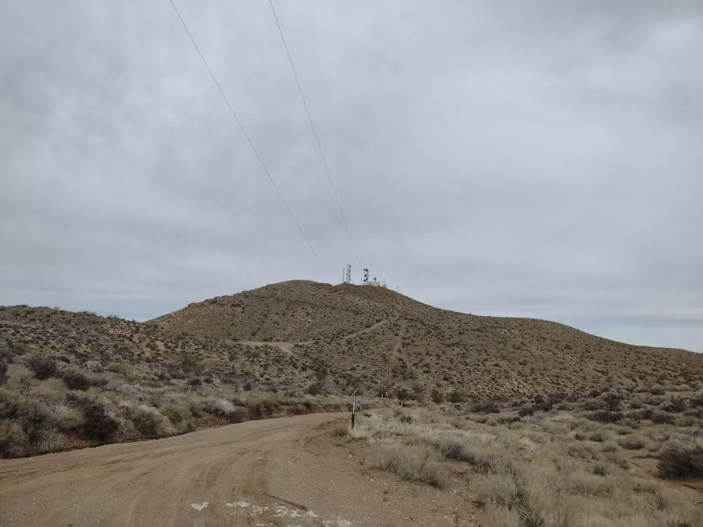
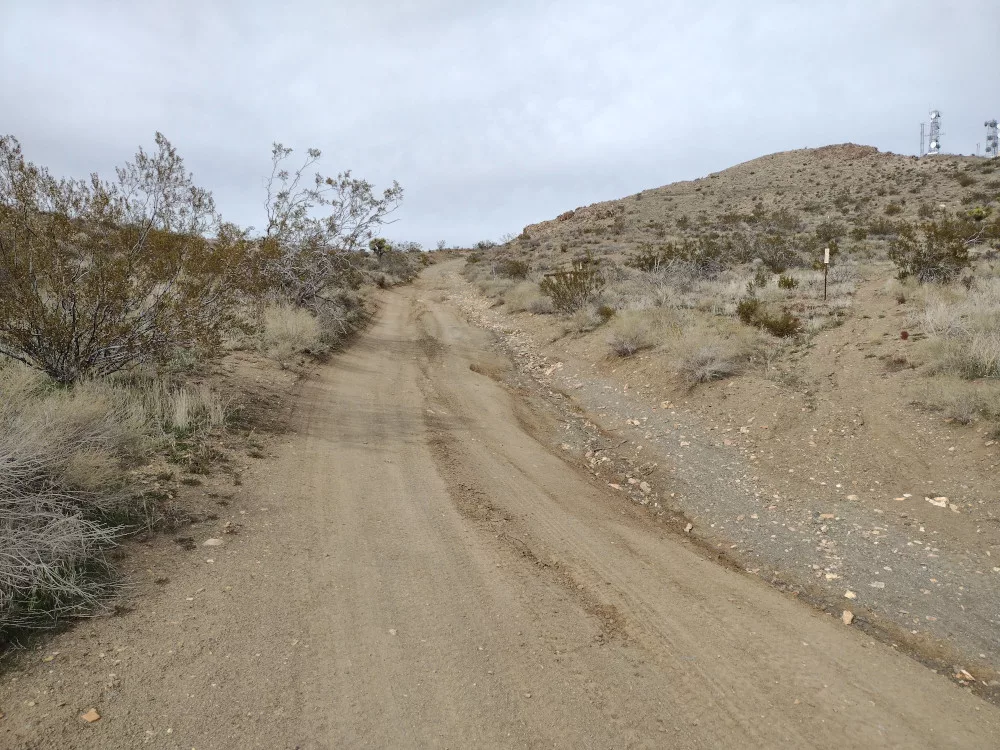
I spent the weekend camping in the area and planned 4 or 5 summits to hike while I was out there. It took me some time to actually leave the house, so by the time I got to the desert it was much later than I would have liked. As such, I started my SOTA day with the easiest one – Government Peak. This is basically a drive up, however, I took many wrong turns on the maze of roads. Recent rains washed out a chunk of one such road and my rear tire fell into the resulting hole, and with an open differential the tire just spun. I needed 4wd to get out. Not far from where I got stuck, I stopped the truck and hiked the remainder of the road up. You could drive straight to the top, but I was in the vehicle for a few hours already and wanted to stretch out a bit.

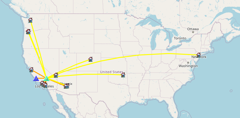
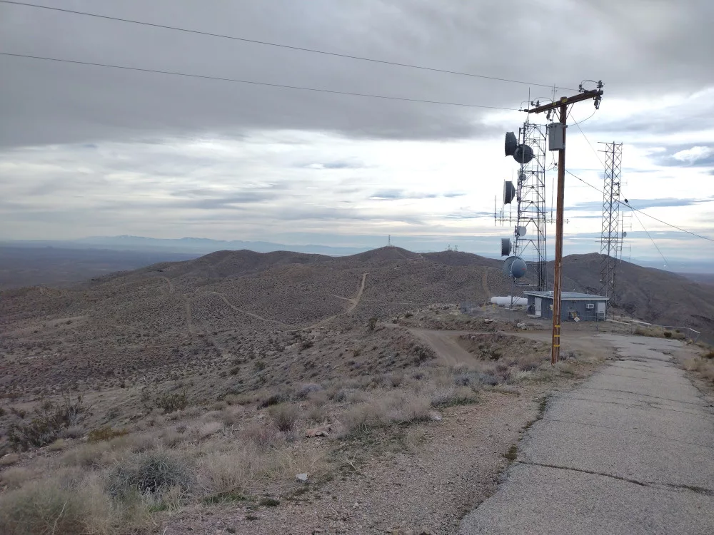
The top is a narrow ridge with a few communication equipment shelters and some towers. I couldn’t locate a benchmark, but perhaps it was behind a fence. I stretched out an EFHW antenna and leaned my mast on an unused utility pole to support the wire. Worked 7m and 14m CW; didn’t bother with 2m FM on this one. Wanting to get one more summit in before it got dark, I packed up the equipment and headed to the paved road. This would be a good one to do in the summer as you get 3 extra bonus points and the risk of environmental exposure can be reduced by driving to the top.

https://sotl.as/summits/W6/ND-224

Total distance: 1.22 mi
Max elevation: 4733 ft
Total climbing: 472 ft
Total time: 01:21:10
Download file: Government_Peak.gpx

Date:16/02/2024 |  Summit:W6/ND-224 (Government Peak)

TimeCallsignBandModeNotes
22:04WB6POT7MHzCWS58N R57N
22:05N7AMA7MHzCWS55N R57N
22:07N6WT7MHzCWS52N R599 S2S W6/SC-357
22:07NT6E7MHzCWS58N R57N
22:09W7SKH7MHzCWS44N R22N
22:10W6LEN7MHzCWS44N R599
22:11W6KME7MHzCWS599 R599
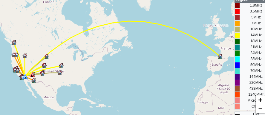
22:20K7EFW14MHzCWS55N R55N
22:20NR7Y14MHzCWS52N R55N
22:21N7EDK14MHzCWS44N R55N
22:23WU7H14MHzCWS57N R55N
22:24AD0WB14MHzCWS55N R33N
22:25NT2A14MHzCWS52N R33N
22:26W7SKH14MHzCWS55N R55N
22:27W5ODS14MHzCWS55N R55N
22:28W7CBR14MHzCWS57N R5NN
22:28K5EM14MHzCWS55N R55N

W6/SD-087 – 4590

This was the second summit E and I climbed for the 2024 So.Cal Winter SOTA Fest. We parked the truck in a small box canyon and scrambled up a wash to a ridge line, at which point it became a class 2 hike, eventually leveling out flat again. The top is large and flat, so plenty of room for antennas. Worked 40M and 2M only as it was pretty windy and the temperature was dropping quickly as the day was coming to an end. We scrambled down a different way which was kinda sketchy. I recommend the ridge route over just going straight down. Back at the truck we headed over to the camp to meet the others crawling around the hills in the area. The weather forecast predicted the temps in the low 30’s with strong wind. E and I noped out of that situation, got a hotel room in Barstow, and had a nice dinner at a pretty good Mexican restaurant.

https://sotl.as/summits/W6/SD-087

Total distance: 1.3 mi
Max elevation: 4582 ft
Total climbing: 852 ft
Total time: 02:06:51
Download file: 4590_W6_SD_087.gpx

Date:12/01/2024 |  Summit:W6/SD-087 (4590) 

TimeCallsignBandModeNotes
23:09W6LOR144MHzFMS59 R59 S2S W6/SD-140
23:10K6STR144MHzFMS59 R59 S2S W6/SD-140
23:15WB6POT7MHzCWS599 R599
23:16K6CPR7MHzCWS599 R599
23:17N0DNF7MHzCWS52N R55N
23:17KN6OMN7MHzCWS599 R599
23:18NW7E7MHzCWS55N R55N
23:19W6LEN7MHzCWS57N R599
23:20K3GX7MHzCWS58N R58N
23:21W6DT7MHzCWS5NN R55N
23:21KF6HI7MHzCWS56N R57N
23:23N6AN7MHzCWS55N R57N S2S W6/CT-168
23:24NT6E7MHzCWS599 R55N
23:24N6TZV7MHzCWS55N R55N
23:26W6HW7MHzCWS57N R56N
23:27K6MAA7MHzCWS57N R22N
23:28KE6MT7MHzCWS52N R55N

W6/SD-220 – Spy Mountain 🏔️

Spy Mountain is right next to Giant Rock – the largest freestanding boulder in North America and, perhaps, the largest free standing boulder in the world. Or, at least it was before a big chunk broke off in 2000. It was a sacred place for Native Americans back in the day and has some interesting history which is more recent that revolves around aviation, UFOs and other conspiracy theories.

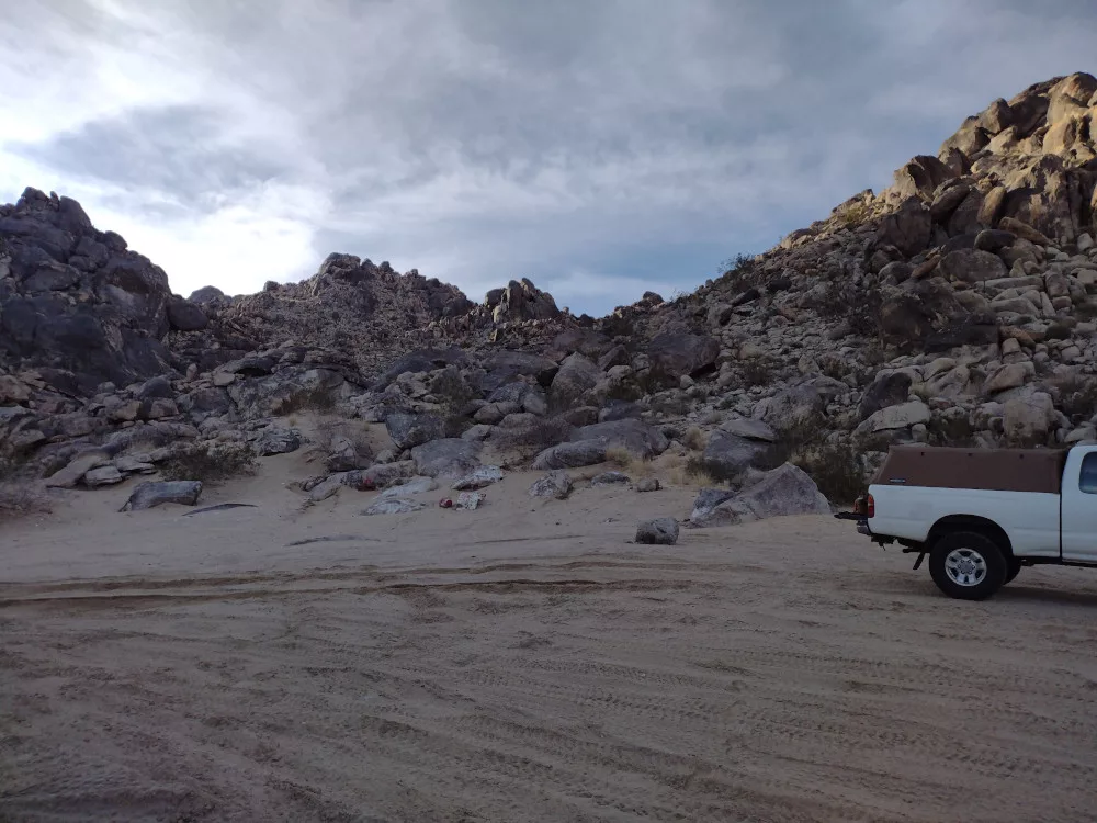
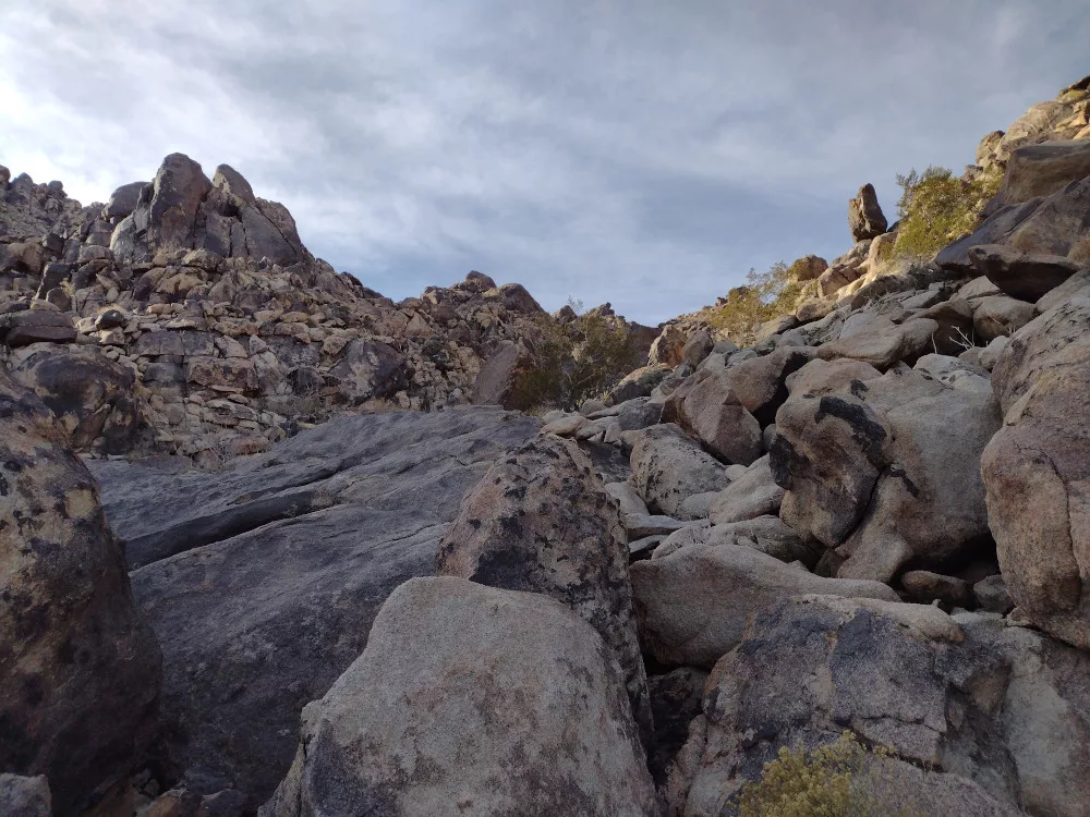
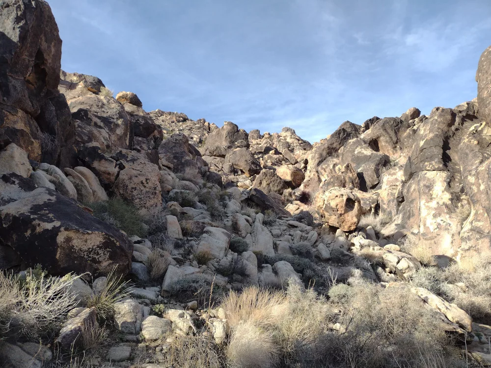
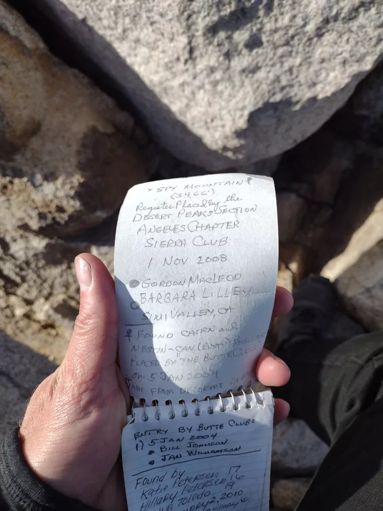
I parked the truck in a super sandy area by a rocky ravine that leads to the top, maybe an eighth of the way around Spy. You probably want 4wd here or park out by the trail before hitting the sand. Heading up to Spy was slow, as it was boulder hopping all the way up. Recent rains created puddles between rocks some areas, and I was surprised to find some rather large desert sage bushes and various blooming plants along the way. At the very top it was pretty windy. I found the summit register, signed it, then setup my antennas and tucked behind some rocks to operate 7m, 10m, and 20m. On the way down I tried a different line to make it some kinda loop, but you can loop so much in a ravine.

https://sotl.as/summits/W6/SD-220

Total distance: 1.14 mi
Max elevation: 3464 ft
Total climbing: 826 ft
Total time: 02:54:08
Download file: Spy_Mountain.gpx

Date:26/01/2024 |  Summit:W6/SD-220 (Spy Mountain)

TimeCallsignBandModeNotes
17:40AC1Z7MHzCWS599 R57N S2S W7A/AE-041
17:40K6HPX7MHzCWS58N R57N
17:41K6EL7MHzCWS52B R51N
17:42NT6E7MHzCWS58N R57N
17:43WB6POT7MHzCWS58N R57N
17:44NW7E7MHzCWS57N R55N
17:45K6YK7MHzCWS58N R57N
17:46K6TUY7MHzCWS58N R57N
17:46KN6OMN7MHzCWS57N R57N
17:47W6LEN7MHzCWS56N R5NN
17:48K9PM7MHzCWS57N R55N
17:51W6TDX7MHzCWS51N R55N
18:06N7EDK10MHzCWS51N R53N
18:07KT5X10MHzCWS51N R52N
18:08KI6DS10MHzCWS44N R55N
18:08KT0A10MHzCWS52N R55N
18:09K7SO10MHzCWS52N R55N
18:11W5ODS10MHzCWS51N R33N
18:20W0MNA14MHzCWS57N R57N
18:20F4WBN14MHzCWS44N R5NN
18:21W0ERI14MHzCWS57N R57N
18:22VE7HI14MHzCWS53N R33N
18:24VA7SGY14MHzCWS52N R52N
18:25KK7A14MHzCWS57N R53N
18:26N0IPA14MHzCWS44N R42N
18:28AD0WB14MHzCWS51N R22N
I parked in this sand pit, next to the canyon I took to the top.

Summit register
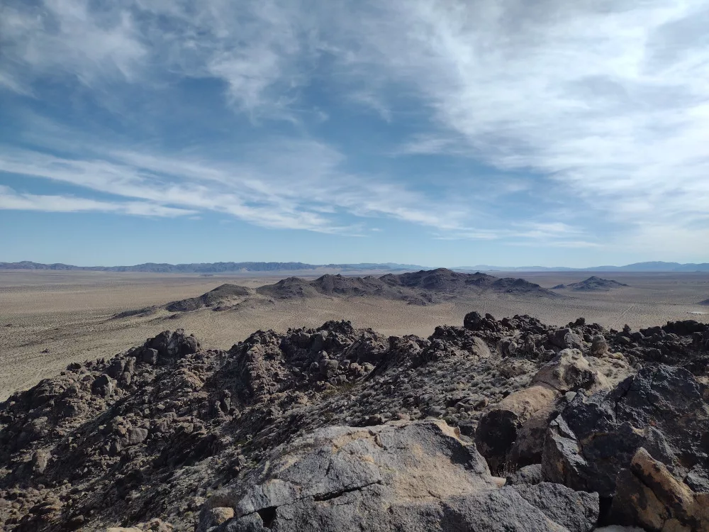
I think that’s W6/SD-233 out there.
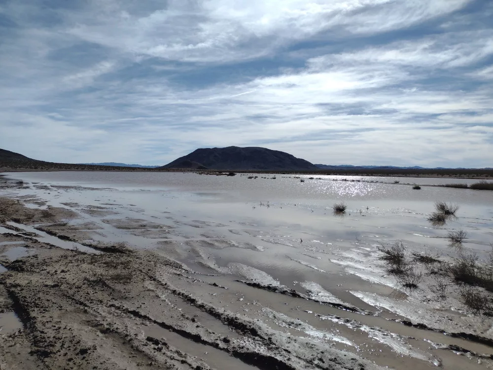
Looking at Goat Mountain from the south. A recent rainstorm flooded this ancient dry lake in the desert.