W6/SD-064 – 4835

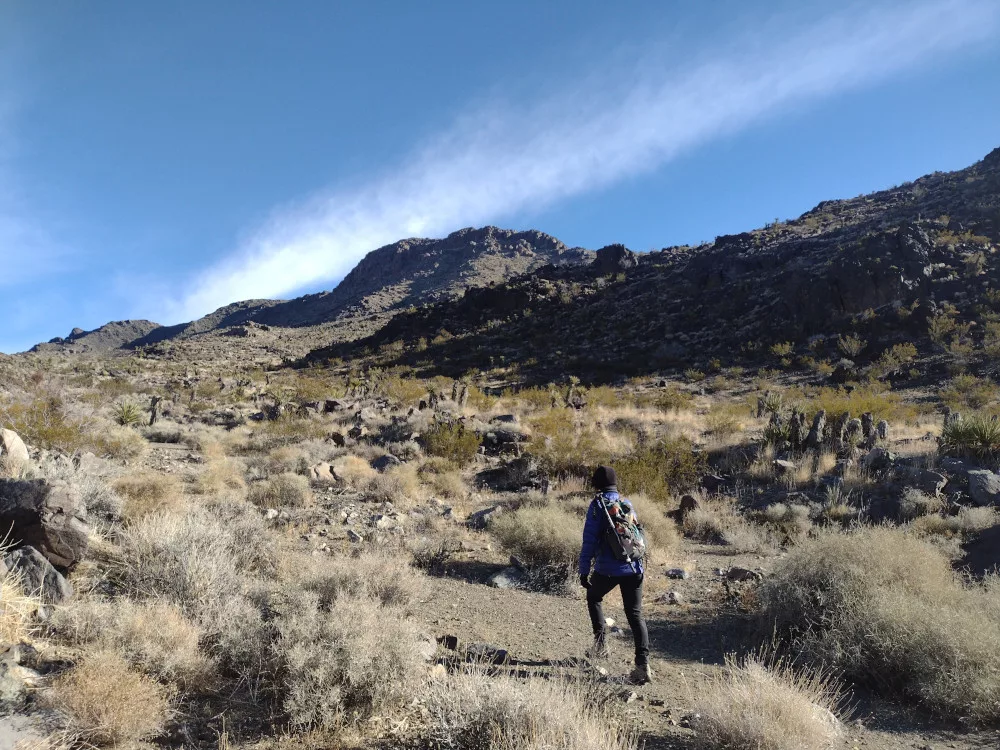
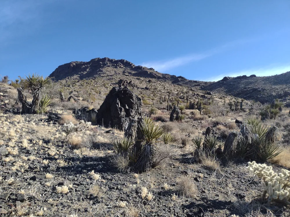
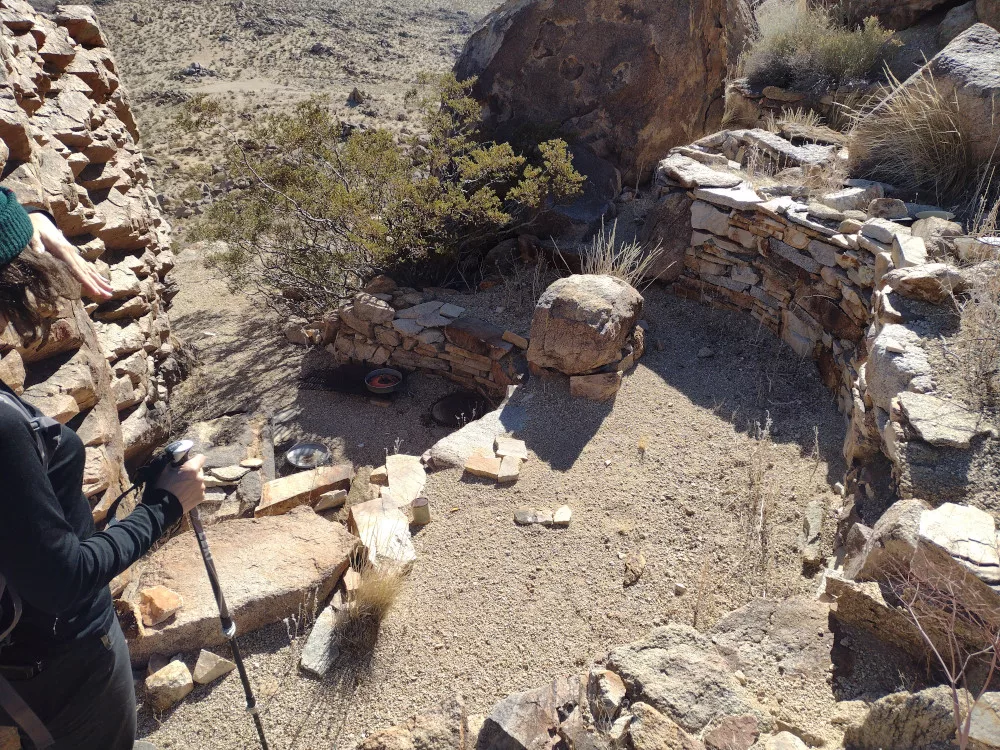
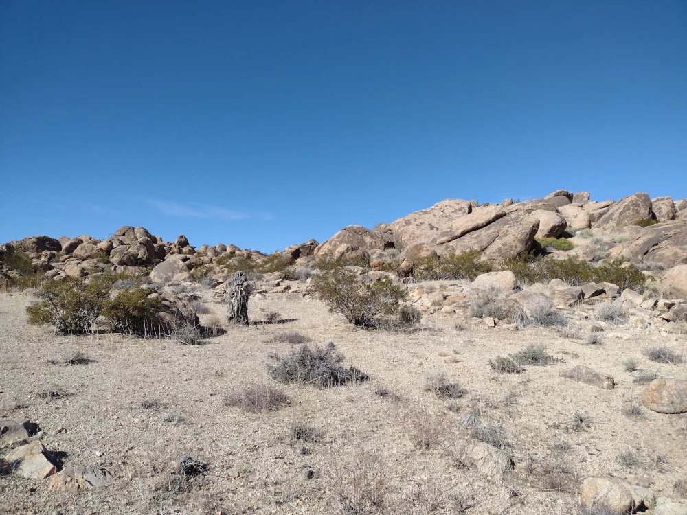
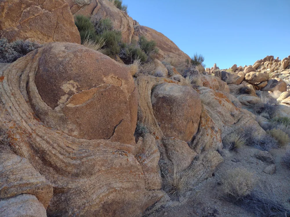
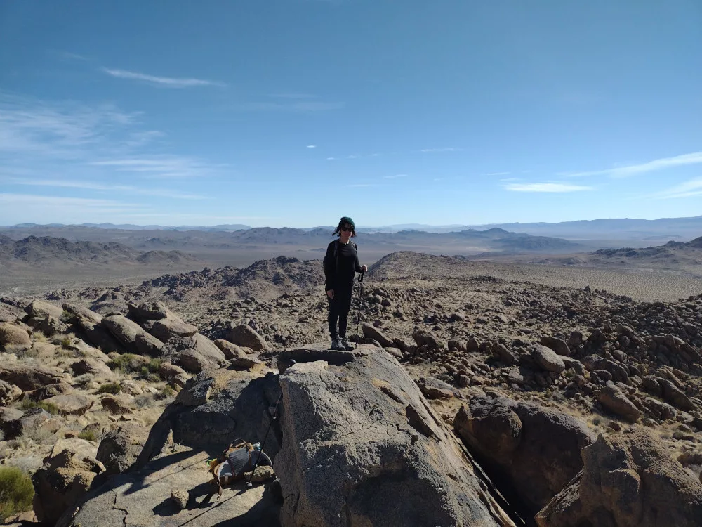
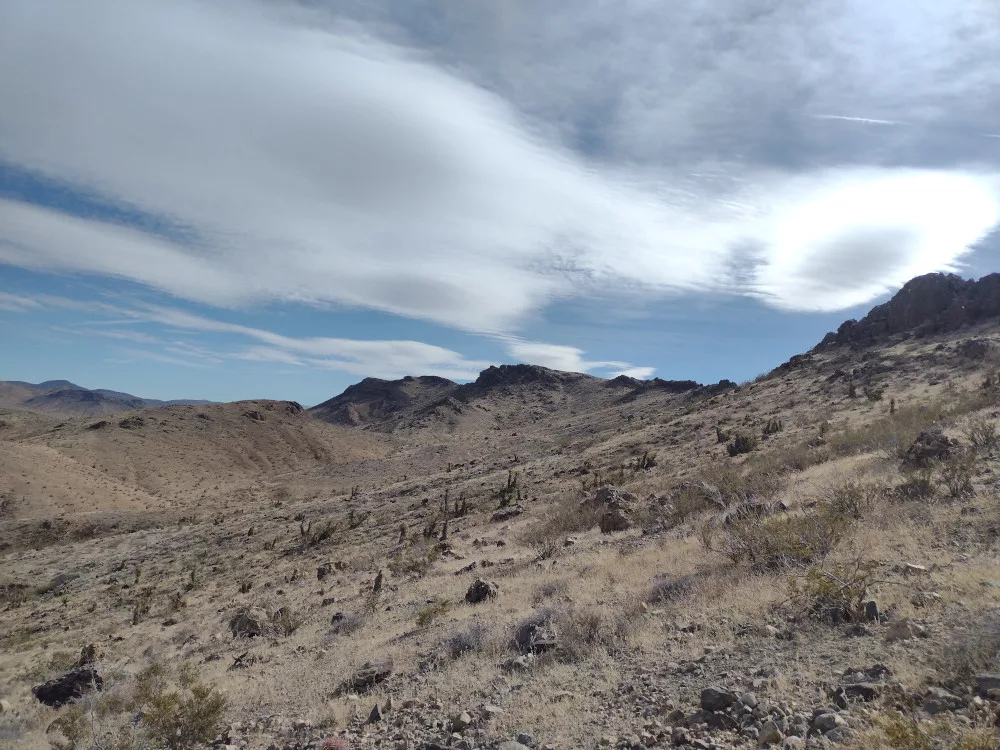
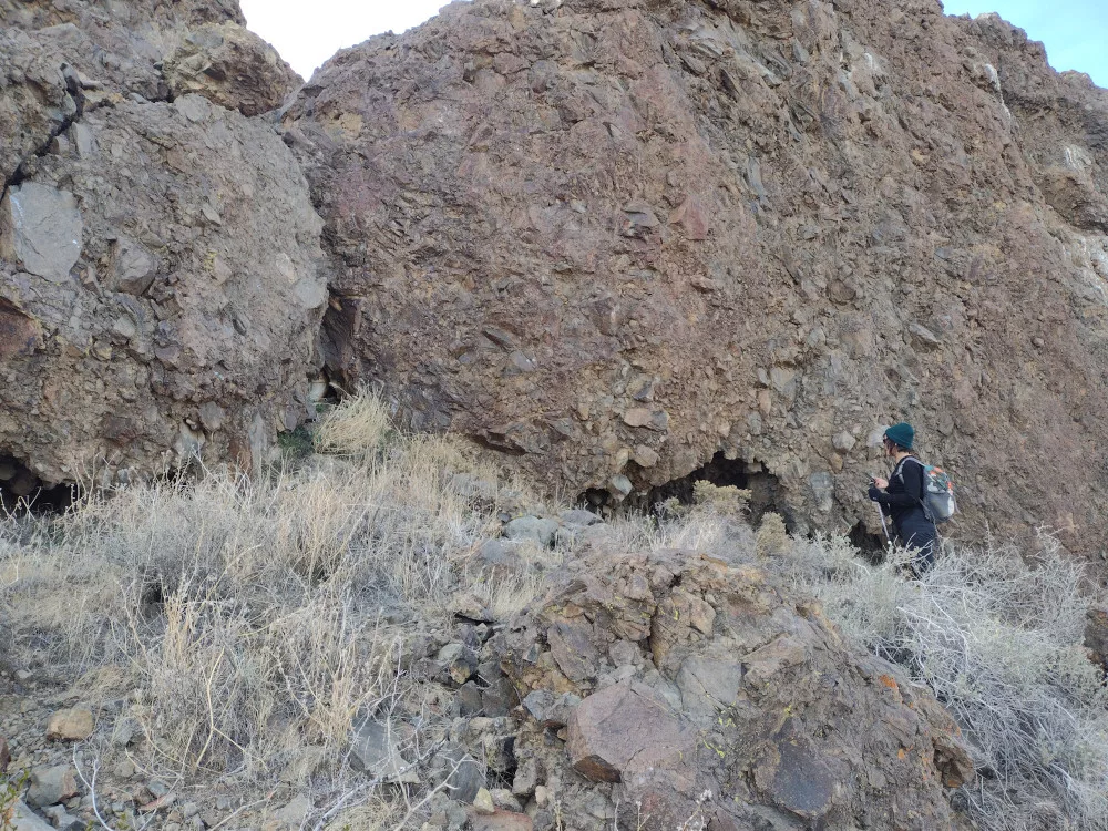
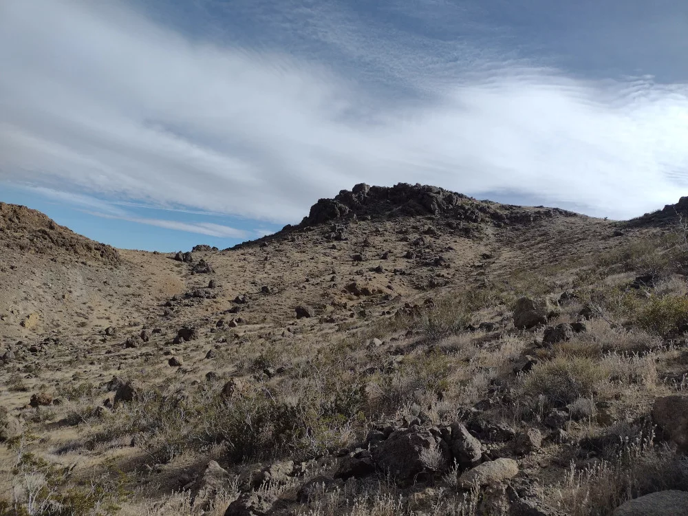
This is the first summit of four E and I completed for Winter SOTA Fest 2024. Until my activation, this was only activated once in 2012 – 12 years earlier. I’m not sure why. Hiking around this was really fun, the rocks were interesting, and it wasn’t that hard of a climb. I’d definitely some back to this one. Worked 7 and 14m CW. After packing up we chose to hike a different way down, through a wash with large boulders to make it a loop.

https://sotl.as/summits/W6/SD-064

Total distance: 2.4 mi
Max elevation: 4848 ft
Total climbing: 959 ft
Total time: 02:38:46
Download file: 4835_W6_SD_064.gpx

Date:12/01/2024 |  Summit:W6/SD-064 (4835) 
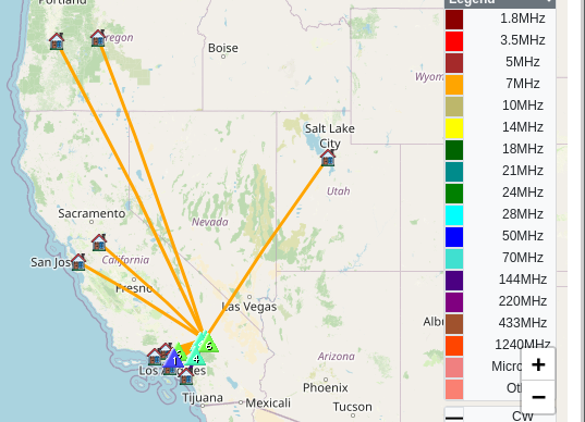
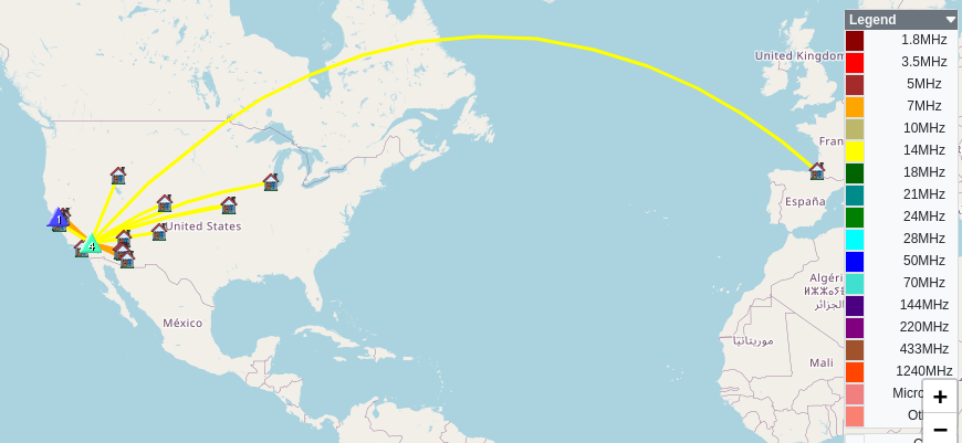
TimeCallsignBandModeNotes
19:54WB6POT7MHzCWS58N R57N
19:54NT6E7MHzCWS599 R57N
19:55W7RV7MHzCWS57N R57N
19:56AA6OY7MHzCWS55N R55N
19:57K6EL7MHzCWS55N R57N
19:58K3GX7MHzCWS57N R56N
19:58K6YK7MHzCWS599 R599
20:00KM6AA7MHzCWS599 R599
20:01N7PN7MHzCWS55N R599
20:03N6PKT7MHzCWS53N R55N
20:11KN6FNY144MHzFMS59 R59
20:13F4WBN14MHzCWS52N R55N
20:14N0DNF14MHzCWS52N R55N
20:15W0MNA14MHzCWS53N R53N
20:16KF9D14MHzCWS55N R52N
20:17W0ERI14MHzCWS52N R53N
20:18AD0WB14MHzCWS55N R5NN
20:18K9PM14MHzCWS58N R55N
20:19W6HW14MHzCWS599 R599
20:20K7SO14MHzCWS57N R55N
Someone put quite a bit of effort to build a camp here.
Stuff like this was a common sight.
E on the summit

W6/SD-128 – Daggett Ridge

This was the second summit of the day for So.Cal Winter SOTA Fest, having just finished up Su Casa Benchmark to the north. I missed a open clearing to park off the narrow dirt road and couldn’t turn around after realizing my mistake, so I ended up parking a bit further away. After slathering on sunscreen, E and I started hiking up the summit, following a track provided by Kevin, the event organizer. After getting through a wash and dry waterfall we started the steeper climb up out of a box canyon. I kept thinking of my great uncle, Jack, who lost a leg in WWII. He would always joke that the lack of a leg was an advantage when walking sideways across a hill. I think he might have been comfortable than me because most of this hike is side-hilling. The summit was super windy, so I only worked 40M and 2M. On the way down, we took a much better route as we had gone through a sketchy area on the way up.

https://sotl.as/summits/W6/SD-128

Total distance: 3.93 mi
Max elevation: 4090 ft
Total climbing: 1640 ft
Total time: 03:43:29
Download file: Daggett_Ridge_W6_SD_128.gpx

Date:13/01/2024 |  Summit:W6/SD-128 (Daggett Ridge)

TimeCallsignBandModeNotes
21:33K6STR144MHzFMS59 R59 S2S W6/SD-010
21:34W6LOR144MHzFMS59 R59 S2S W6/SD-010
21:37KN6FNY144MHzFMS59 R59
21:38KD7DTS144MHzFMS55 R55 S2S W6/CT-015
21:48NW7E7MHzCWS52N R53N
21:49NT6E7MHzCWS599 R55N
21:50K6YK7MHzCWS55N R57N
21:51WA6KYR7MHzCWS57N R55N
21:52WB7ULD7MHzCWS56N R53N
21:54KD7DTS7MHzCWS55N R55N S2S W6/CT-015
21:55W6TDX7MHzCWS53N R53N
21:56KN6OMN7MHzCWS58N R599
21:57N6AN7MHzCWS52N R54N S2S W6/CT-225
21:57WB6POT7MHzCWS599 R599
21:58K6MAA7MHzCWS57N R53N
22:00W6KME7MHzCWS599 R599
22:07KN6FNY144MHzFMS59 R59 S2S W6/SD-060
22:07KN6RDC144MHzFMS59 R59 S2S W6/SD-060
22:16N6XZN144MHzFMS55 R55 S2S W6/SD-442