W6/ND-285 – 3951

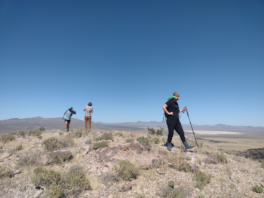
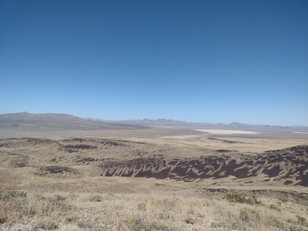
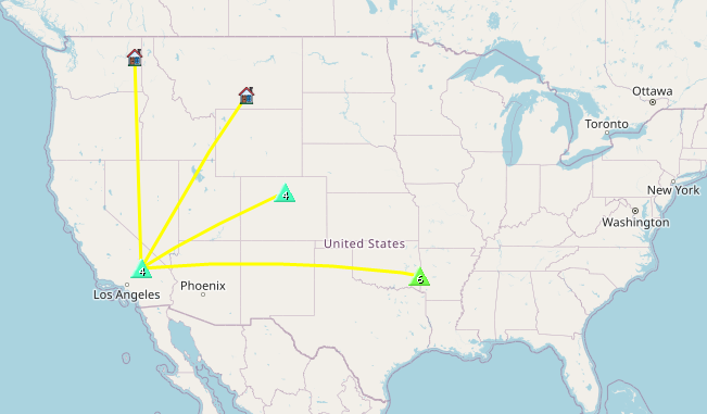
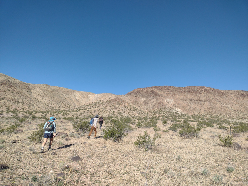
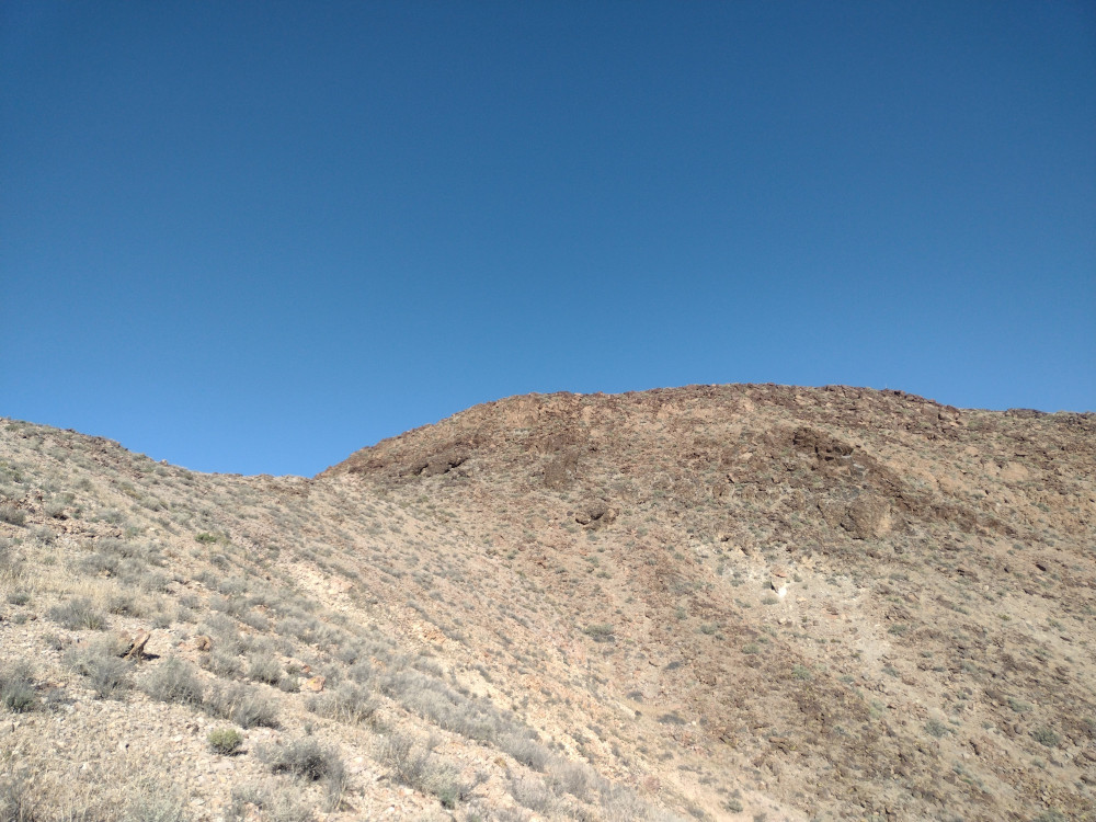
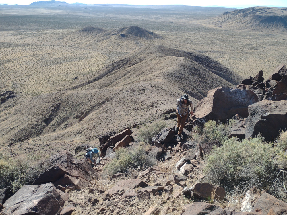
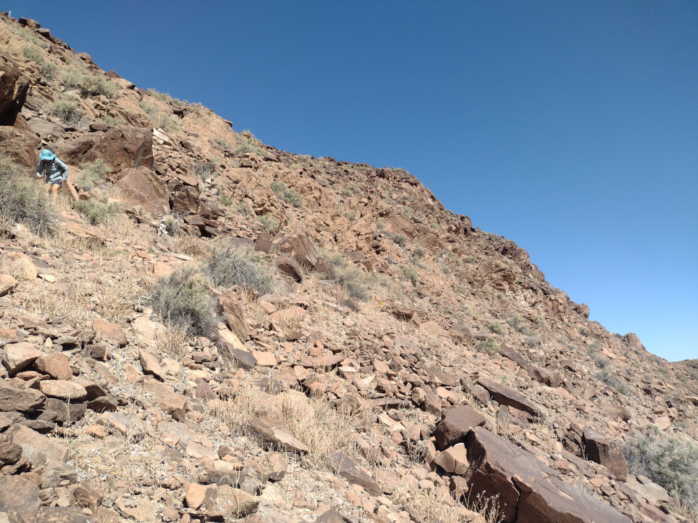
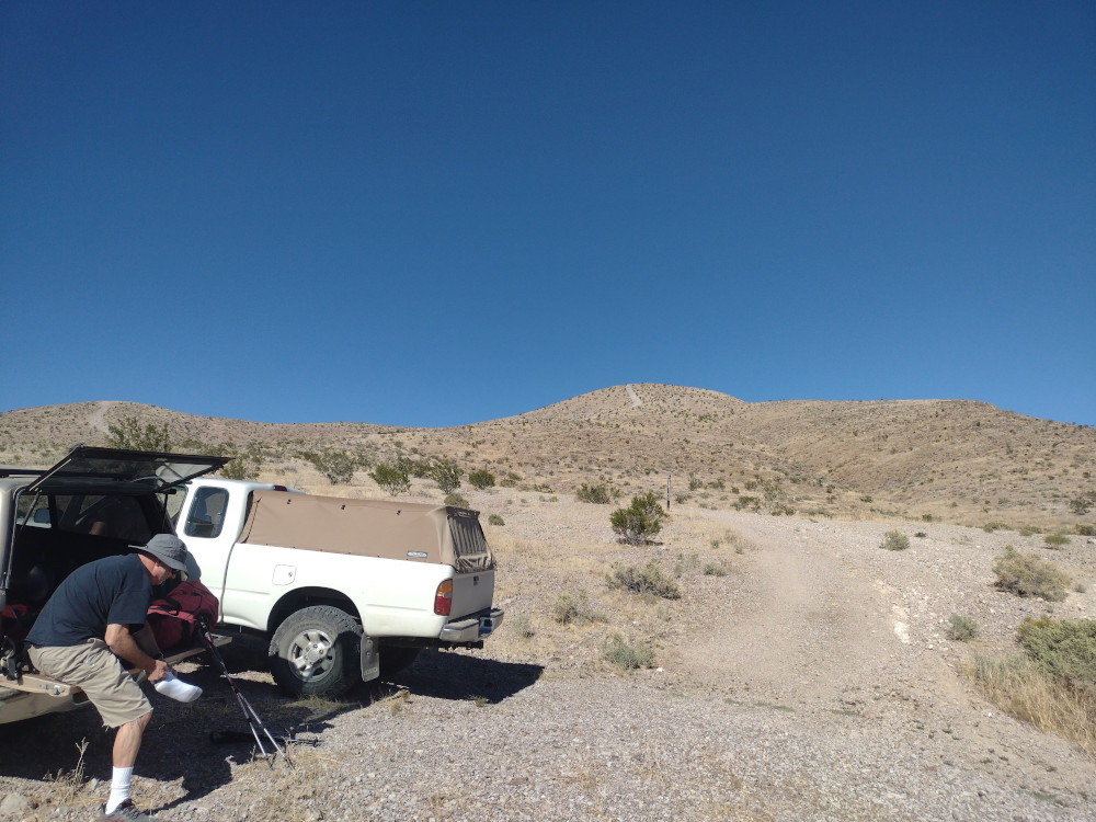
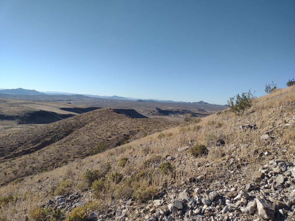
This was our second summit of the day, having just come from Mesa Benchmark. While most of the trails in the area are in pretty good shape, driving the trail to the bottom of this summit was pretty rough in some places. I was happy to have 4L in two spots, although, I sure you could just “send it” and it would have been fine. I’m assuming there is a better way than the path I took.

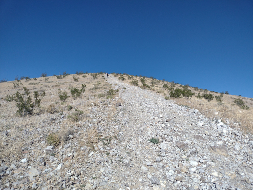
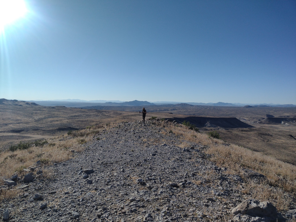
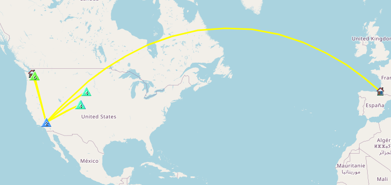
The hike starts out pretty steep, tapering off to a flat ridge before one last final climb to the top. It’s around 1/2 mile one way, but a tad over 500′ of elevation gain. I setup my broken antenna which only works on 20M and started calling CQ. Made several S2S contacts to Washington State and Colorado which is always a treat.

After exhausting the chasers and packing up everything, we headed down the hill the way we came, then headed back to our camp.

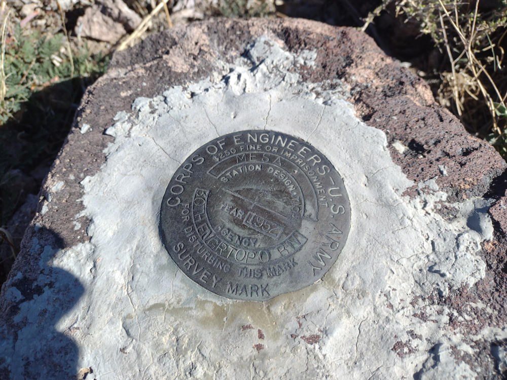
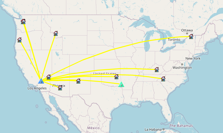
https://sotl.as/summits/W6/ND-285

Total distance: 0.99 mi
Max elevation: 3950 ft
Total climbing: 551 ft
Total time: 01:39:48
Download file: W6-ND-285.gpx

Date:07/10/2023 |  Summit:W6/ND-285 (3951)

TimeCallsignBandModeNotes
20:01KM6FXK144MHzFMS59 R59
20:12KI7DAD14MHzCWS55N R599
20:14W7UM14MHzCWS55N R55N S2S W0C/FR-085
20:14F4WBN14MHzCWS54N R599
20:15N7CHN14MHzCWS53N R54N
20:17WU7D14MHzCWS57N R57N S2S W7W/CW-065
20:18WW7D14MHzCWS57N R57N S2S W7W/CW-065
20:19KX0R14MHzCWS57N R55N S2S W0C/FR-174
20:21KT0A14MHzCWS55N R56N S2S W0D/BB-024
20:22K7AMM14MHzCWS57N R52N
20:22N7EDK14MHzCWS55N R599
20:23NM5SXM14MHzCWS57N R55N
20:24AC7MA14MHzCWS57N R55N
20:25N7SE14MHzCWS52N R53N
Summit crew
View from the top, our camp way out in the distance on the dry lake bed.

W6/ND-268 (Mesa Benchmark)

Kel, E.Bun, R. and I woke up in the morning on the dry lake bed. Hoping to beat some of the desert heat, we quickly ate a light breakfast and headed over to Mesa Benchmark. Distance is deceiving – We could easily see this one from where we were camped, however it took about 45 minutes to actually get there over the rough desert terrain.

I parked the truck in an area which had been used for shooting, close to the gentlest contours on a topo map and started heading up. There is no trail I could find. After about 20 minutes or so, there is a class 3 section which will take some care to navigate. Once past this section, it’s mostly flat, like a …..mesa!

At the top, we signed the register. I setup my EFHW driven by a Mountain Topper radio. I was getting extremely high SWR on 40, and 30 meters, so I was limited to 20M. Turns out my antenna was broken somewhere. Made one QSO with Buck down at the camp on 2M FM.

We decided to take a different roue on the way down. This involved a sketchy class 3 hike down to the desert floor, with a lot of potential for someone to get hurt. Thankfully, we all made it down without injury. Overall, this was a perfect morning hike! If you use my .gpx track, don’t go down the way we did!

https://sotl.as/summits/W6/ND-268

Total distance: 1.19 mi
Max elevation: 4131 ft
Total climbing: 646 ft
Total time: 02:02:58
Download file: W6-ND-268.gpx

Date:07/10/2023 |  Summit:W6/ND-268 (Mesa Benchmark) 

TimeCallsignBandModeNotes
16:46KM6FXK144MHzFMS56 R59
17:01WB7BWZ14MHzCWS55N R55N
17:03K6MW14MHzCWS51N R55N
17:04N7CHN14MHzCWS55N R54N
17:05AK5SD14MHzCWS33N R42N S2S W5O/OU-018
17:07KX0R14MHzCWS44N R44N S2S W0C/FR-174
17:10AI5DD14MHzCWS51N R52N
Morning hike crew
That bump is the final climb to the top
Class 3 up
Benchmark
Heading down – This was sketchy, for me.

W6/ND-284 – Opal Mountain

This was the second summit of the day, having just come from a short activation of Waterman Hills. By surprise, my wife and I ran into our pal Buck on the corner of Copper Canyon Road and Irwin Road. He had come up from San Diego to camp with us, however I didn’t expect him to arrive to early. That being said, I invited him to hike up to Opal Mountain with us. On the way to the trailhead we stopped in various locations to look at petroglyphs, Indian circles, and possible places to camp in the future. A bit over an hour through the desert trails, we got to the start. The hike up is pretty steep and rocky, but short. I didn’t find a summit register or a benchmark. Worked 20M CW and headed down pretty quickly. Back at the truck we drank some beers and headed over to a dry lake where we were meeting other friends to camp.

https://sotl.as/summits/W6/ND-284

Total distance: 0.78 mi
Max elevation: 3939 ft
Total climbing: 461 ft
Total time: 01:41:24
Download file: W6-ND-284.gpx

Date:06/10/2023 |  Summit:W6/ND-284 (Opal Mountain)

TimeCallsignBandModeNotes
23:13K7AMM14MHzCWS55N R55N
23:13WW7D14MHzCWS57N R57N
23:14N7CNH14MHzCWS53N R52N
23:17AK5SD14MHzCWS44N R31N S2S W5A/CS-020
23:18N4LAG14MHzCWS56N R42N
23:20W5ODS14MHzCWS57N R57N
23:20K2LT14MHzCWS22N R22N
23:21WU7H14MHzCWS58N R55N
23:22N7EDK14MHzCWS51N R55N
23:23W7SKH14MHzCWS33N R55N
23:23KE5AKL14MHzCWS57N R55N
23:24W7CBR14MHzCWS22N R33N
23:25N4GO14MHzCWS55N R32N
23:26AK7U14MHzCWS57N R53N
Buck putting on socks, Opal in the background.
Kel is way ahead of Buck and myself
Views at the top
An attempt to capture the grade of the hill with the camera